Viewpoint
Tagaytay Ridge
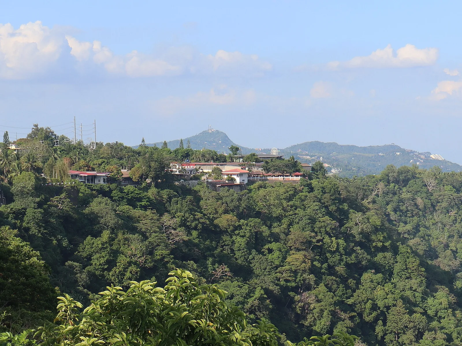

The road along the crest, with viewpoints looking down on Taal Lake and the volcano island. The ridge is the northern rim of the Taal Caldera, a collapsed bowl 25 by 30 kilometres wide that the lake now partly fills, and the live vent of the volcano sits near the middle of the lake.
The range runs 32 kilometres west-southwest from Mount Sungay to Mount Batulao in Batangas, at about 600 metres above sea level, and the city takes its name from it. On the lake side the ground drops away fast. On the other side it rolls down gently to sea level at Manila Bay.
- Town
- Tagaytay City
Written by an editor · 21 Sep 2026 · source: Wikipedia, Tagaytay Ridge