
A 2-day plan built from the See, Do and Eat listings in Wikivoyage's Mariveles guide. The stops are in an order that keeps each day close together. Check the hours and prices before you go.
Photos
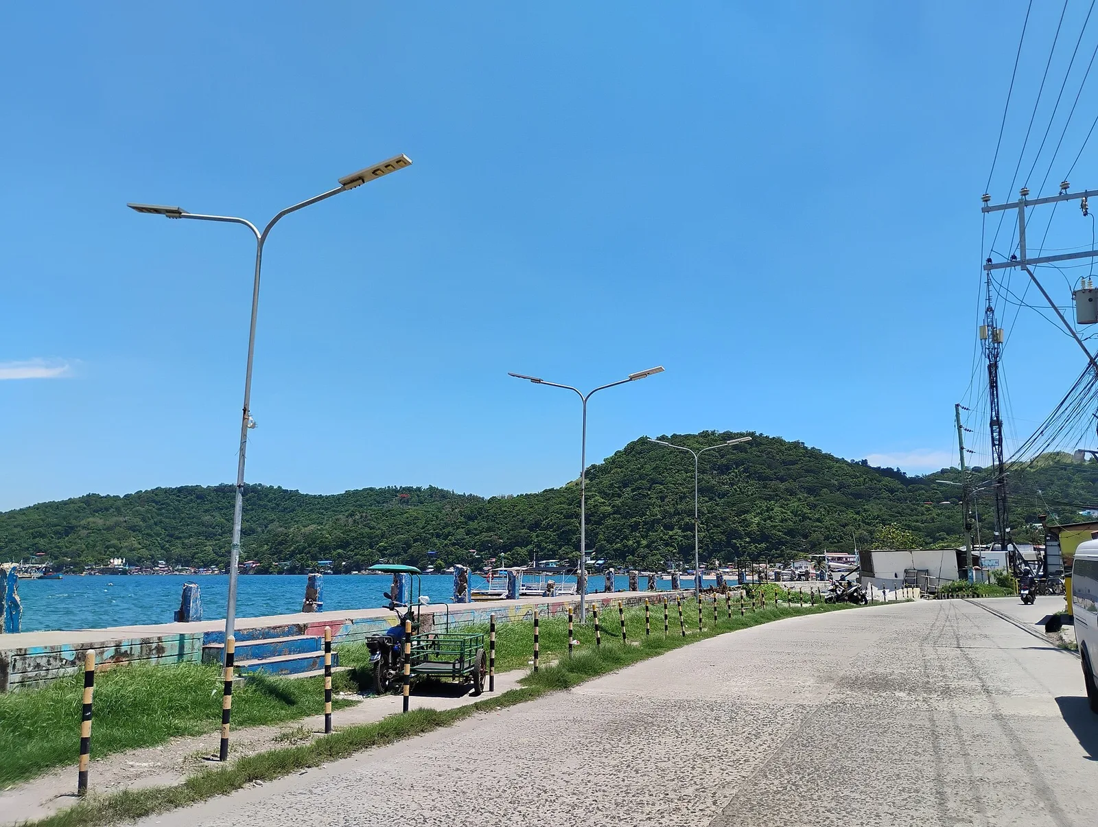
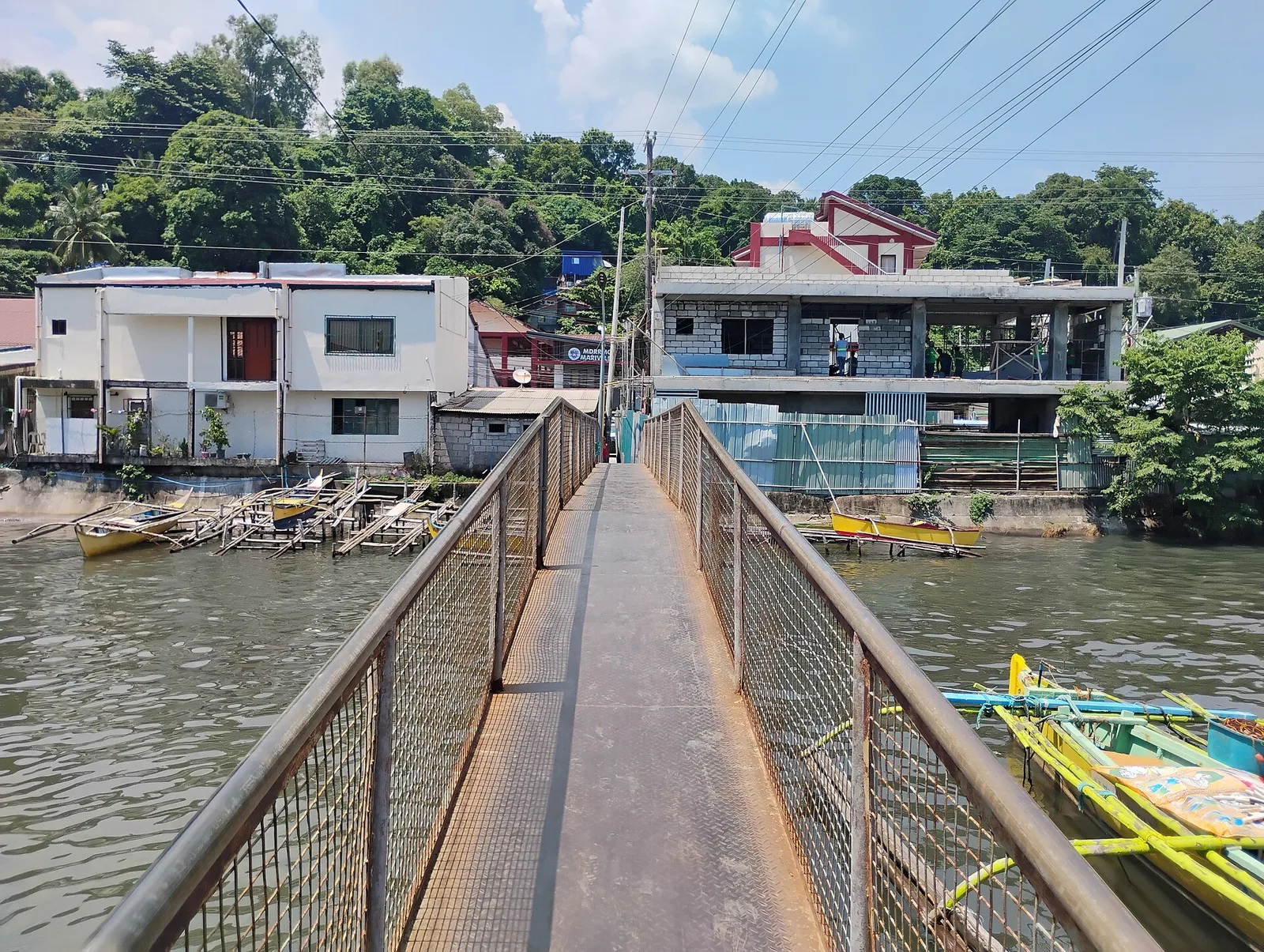
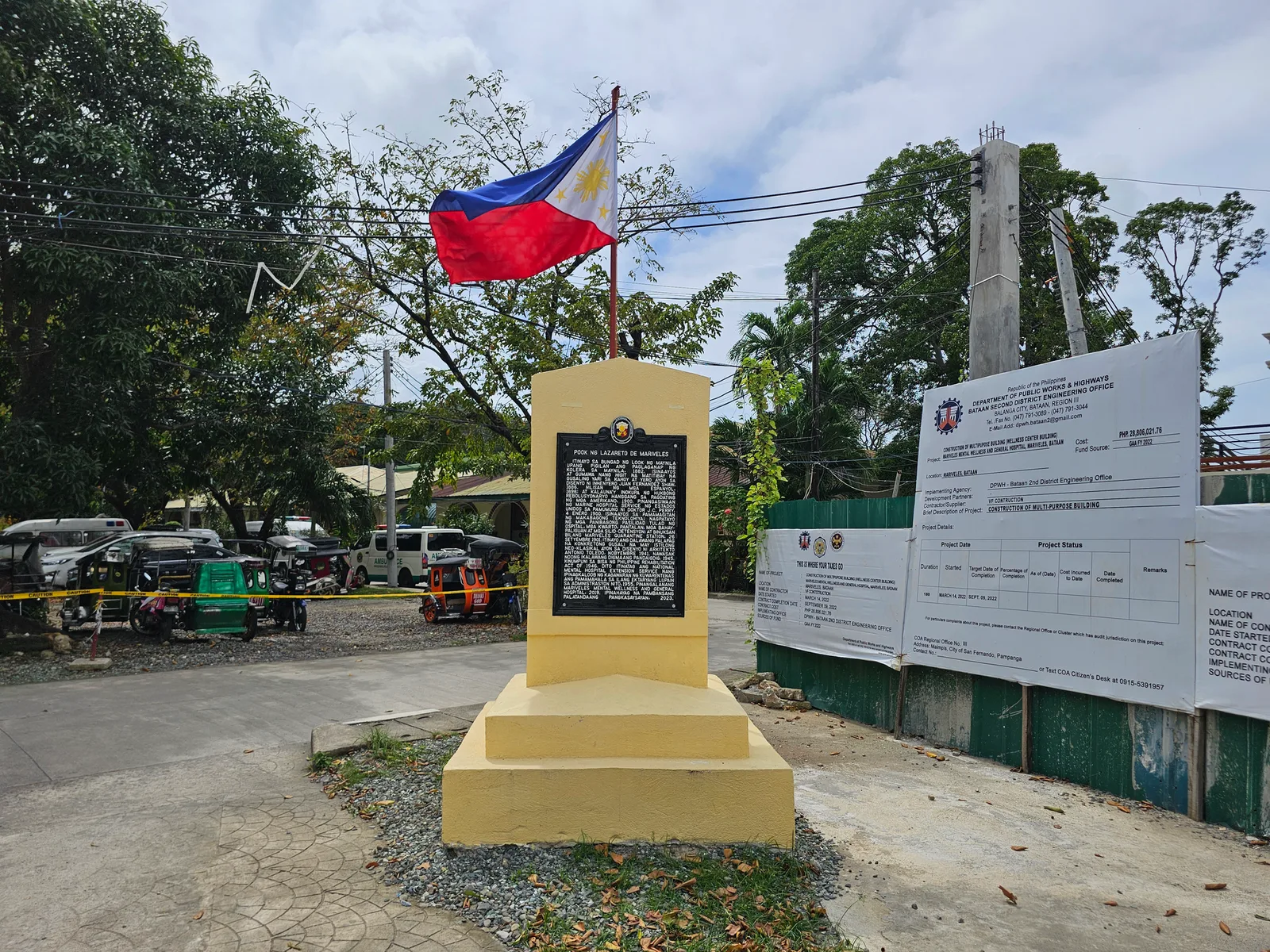


Day 1
₱0
Morning
Zero Kilometer Death March MarkerThe Bataan Death March began in Mariveles and stretched for . A similar marker for those garrisoned in Bagac exists in the latter town, while markers tracing the route of the Death March are scattered along Governor J.J. Linao Highway and the Bataan National Road leading to Dinalupihan and the…Directions
—
Day 2
₱0
Late morning
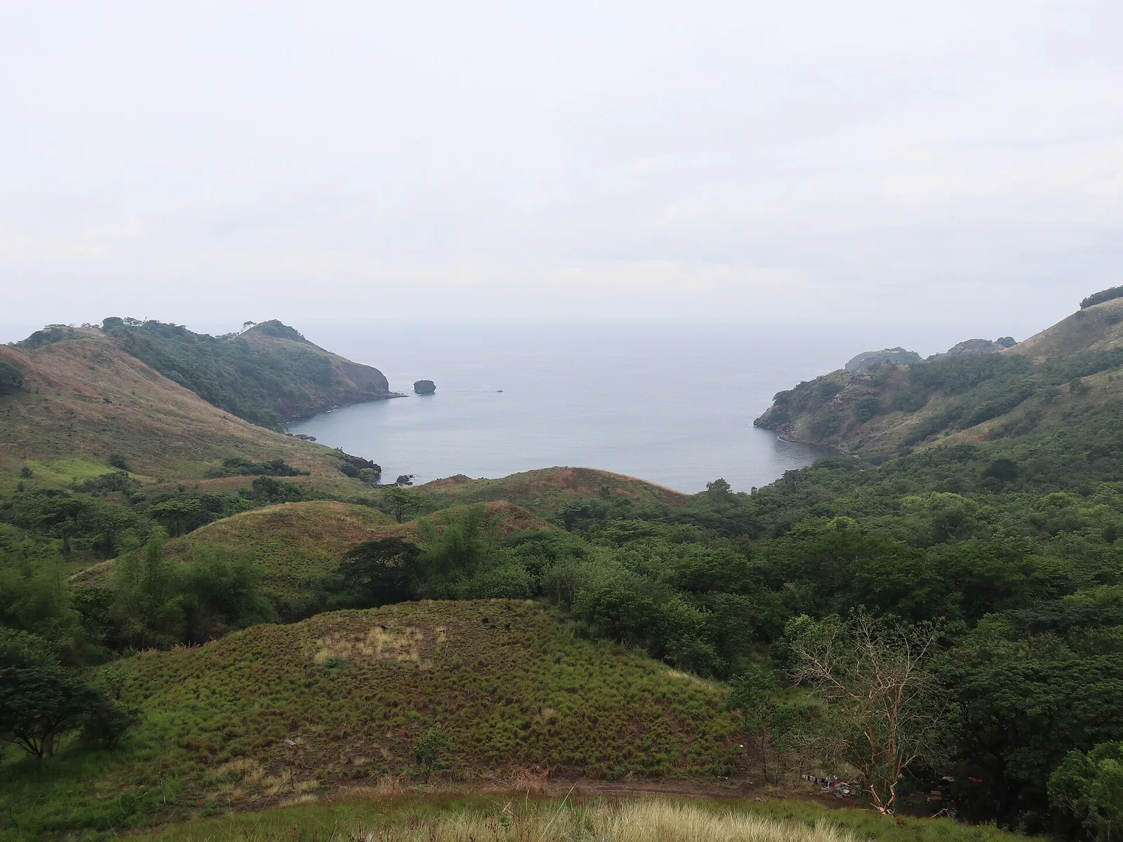
Mariveles Five FingersA series of five upland coves aligned beside each other on the boundary between Manila Bay and the South China Sea, offering hiking, cliff jumping, swimming and diving opportunities. The coves mark the southernmost tip of the Bataan peninsula.Directions
—
Afternoon
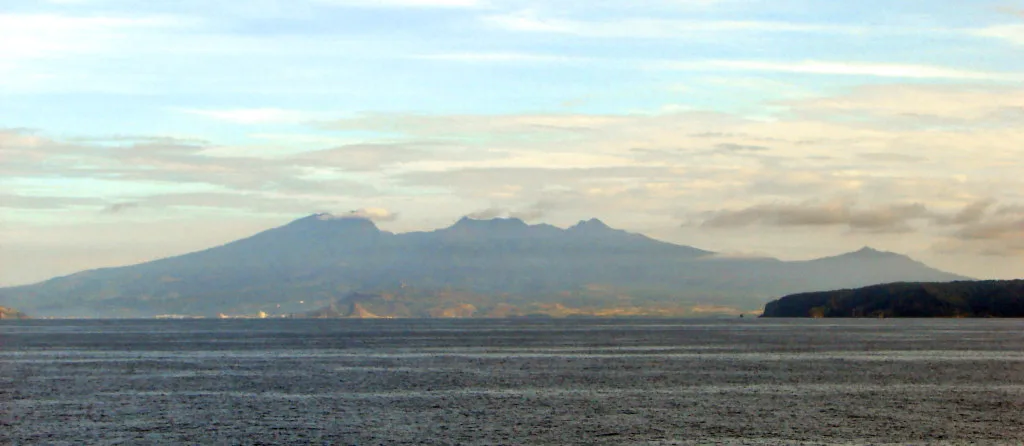
Mariveles VolcanoA dormant volcano with a wide caldera that comprises the southern part of Bataan. It has multiple peaks and ridges that are popular among climbers and hikers such as Mount Tarak.Directions
—
0 comments
Nobody has commented yet.
Sign in to comment.