Volcano · Camarines Sur
Mount Isarog
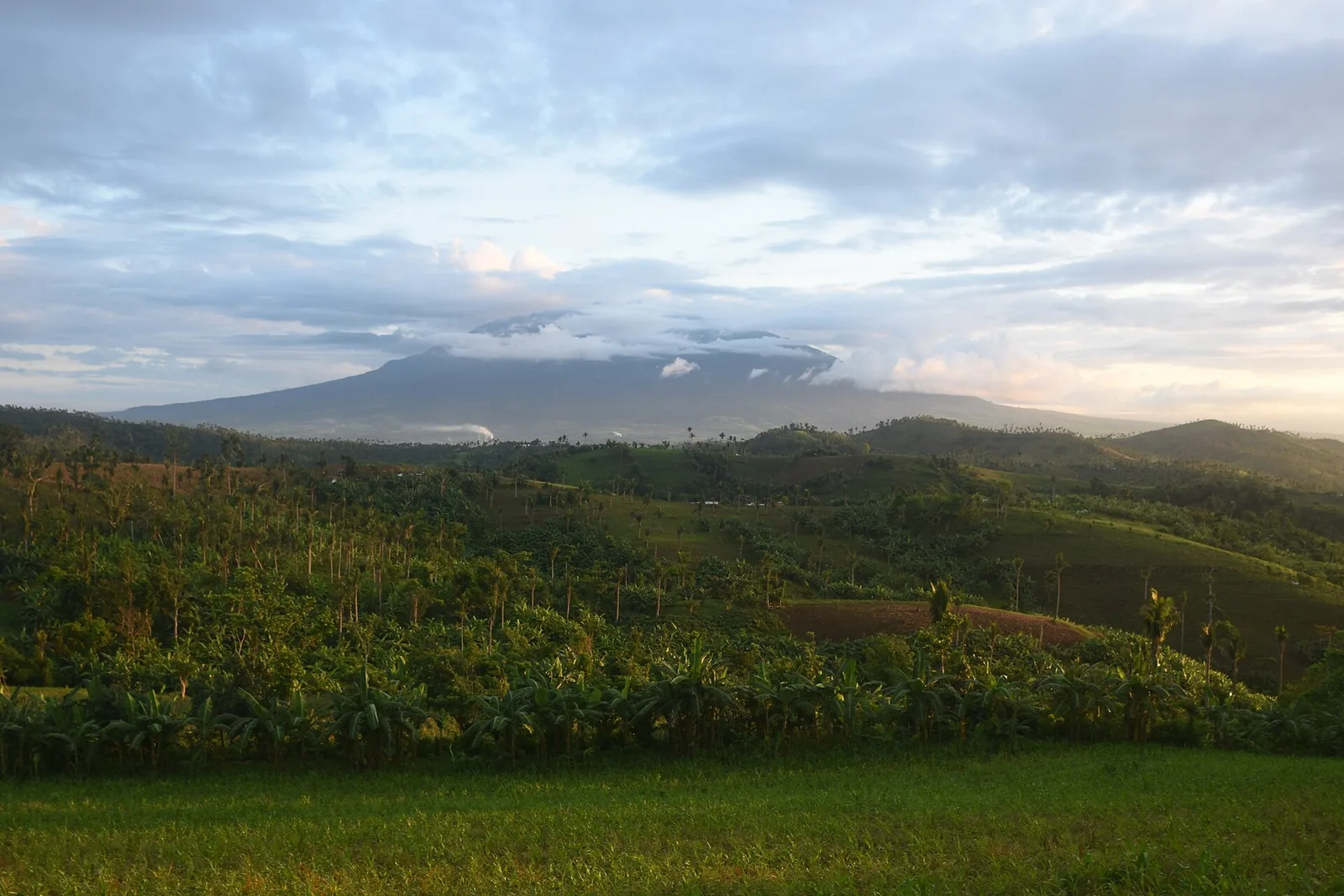

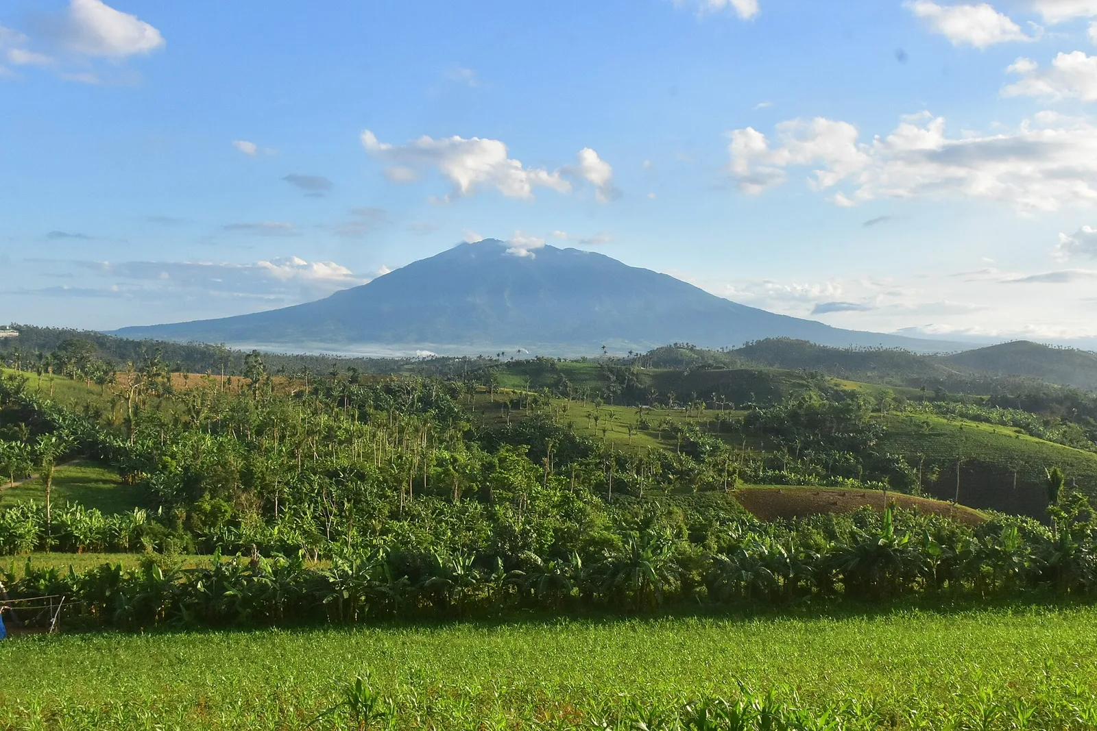

An active volcano of 2,000 metres above sea level, standing alone on the isthmus between Lagonoy Gulf and San Miguel Bay. It still has fumaroles and hot springs, and hiking trails lead up it.
The crater at the top is 2,500 metres wide and broken open to the east, where a narrow valley carries the Rangas River. The peak is where the borders of six towns and one city meet: Goa, Tigaon, Ocampo, Pili, Naga City, Tinambac and Calabanga.
- Town
- Camarines Sur
Written by an editor · 22 Sep 2026 · source: Wikipedia, Mount Isarog