
Heritage · Manila
Intramuros
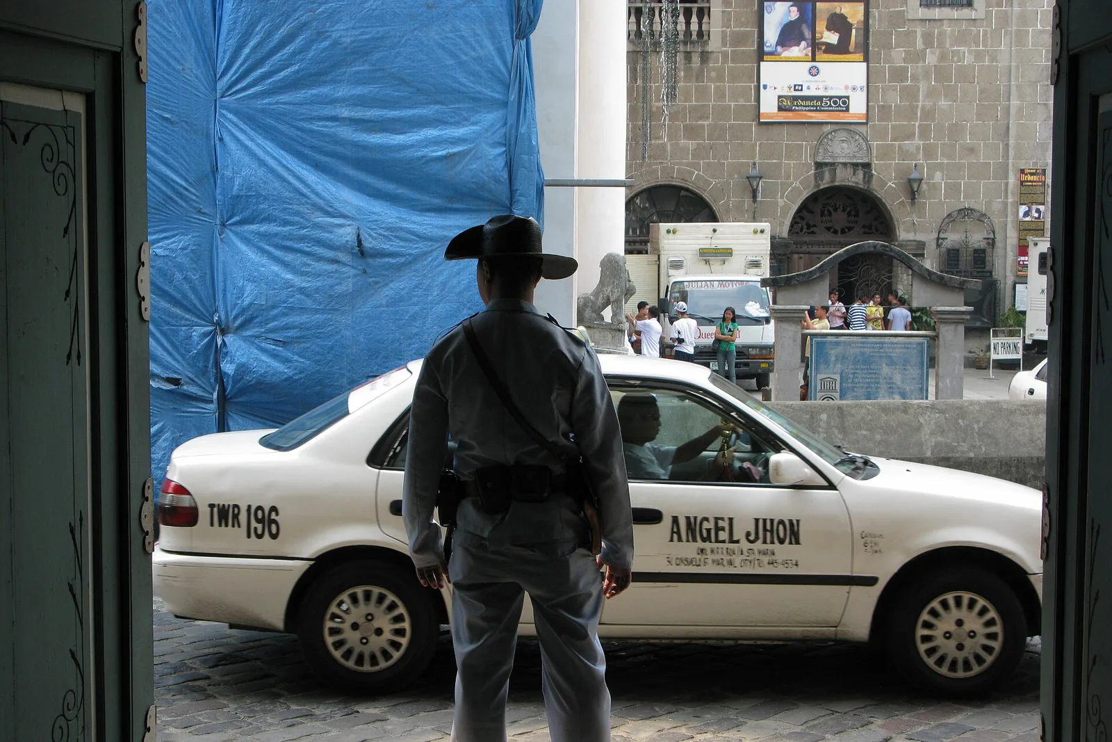

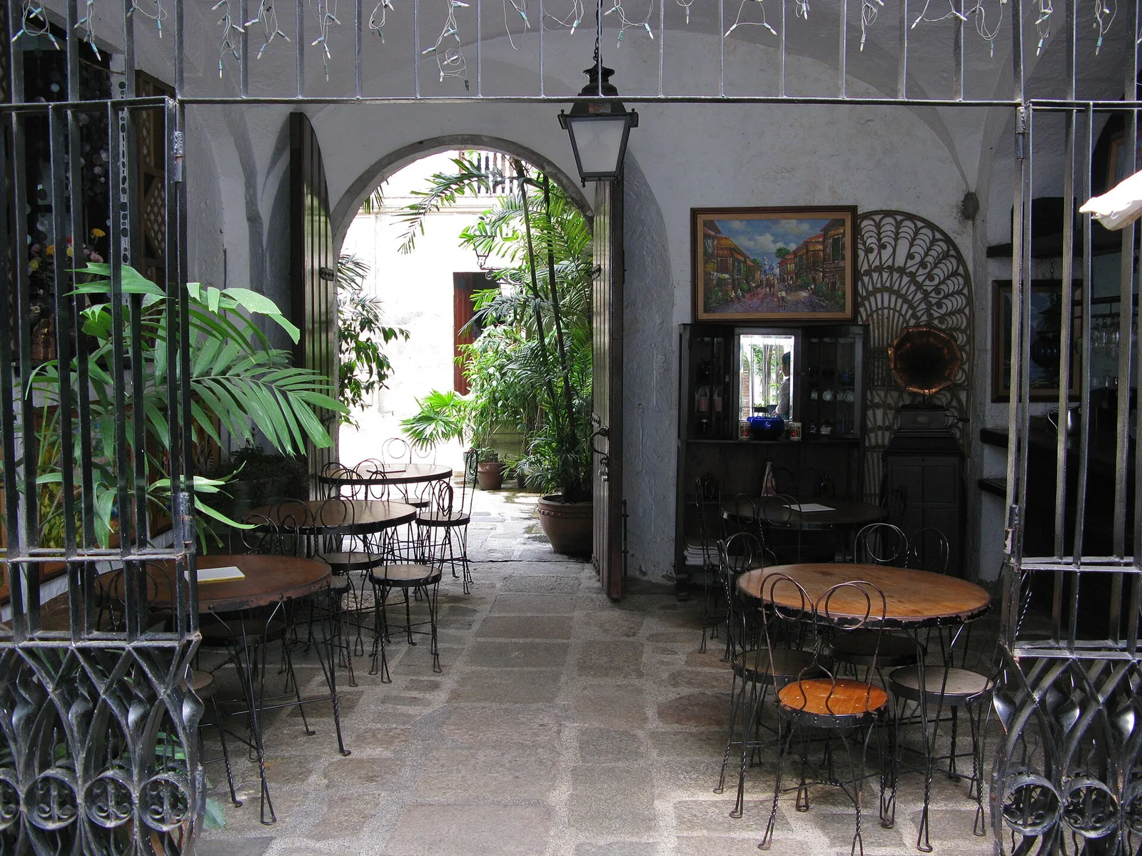

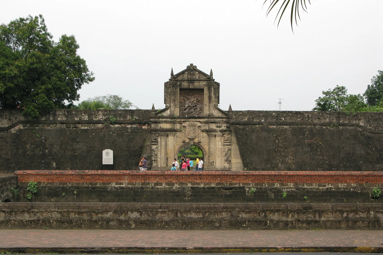

The walled Spanish city of 1571, with Fort Santiago, San Agustin Church and a walk along the ramparts. The district covers 0.67 square kilometres and is enclosed on every side by its fortifications. It was the seat of the Spanish governor-general from 1571 until 1865 and the Asian hub of the galleon trade with Acapulco.
The Battle of Manila flattened the walled city in 1945, and rebuilding began straight after the war. The Intramuros Administration runs the district today. Many visitors get around by kalesa, the horse-drawn carriage used here and in Binondo, Ermita and Rizal Park.
- Town
- Manila
Written by an editor · 21 Sep 2026 · source: Wikipedia, Intramuros; Manila