
Klaja Ecopark
An ecological preservation park 15 km (9.3 mi) off the central business district on the north-east side of city in Barangay Conel. Klaja Karsts Land derived its name from “Kalaha” ("frying pot") as it looked like one due to the …
An ecological preservation park 15 km (9.3 mi) off the central business district on the north-east side of city in Barangay Conel. Klaja Karsts Land derived its name from “Kalaha” ("frying pot") as it looked like one due to the …
Good place to eat balut with family. The ambiance is good. A 5-minute drive from city proper.
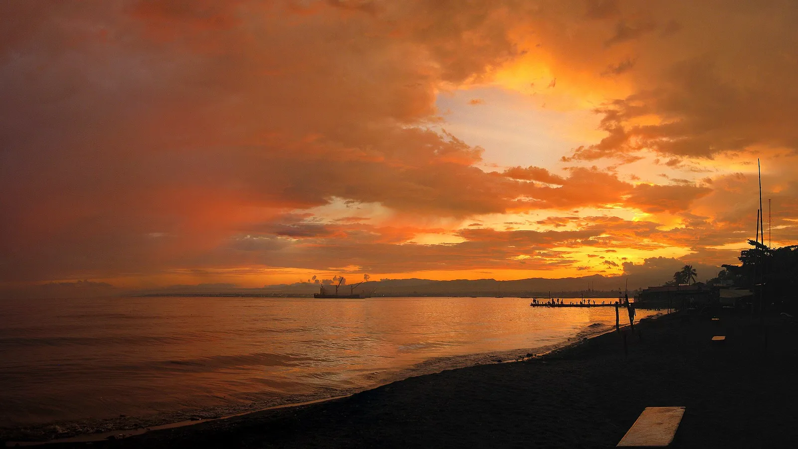
Lawned city park on Sarangani Bay with beachside cabanas & a number of trees for shade.
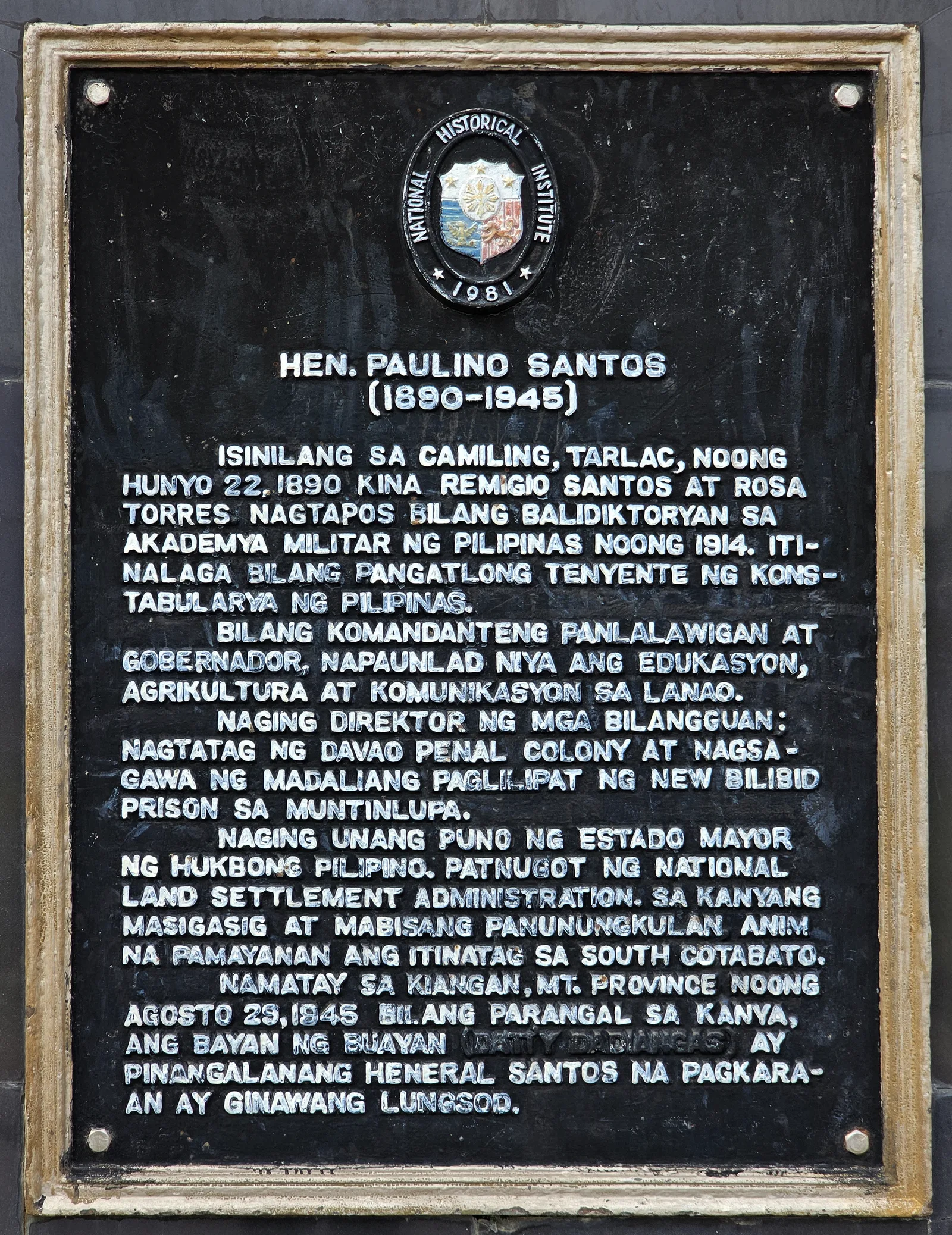
In the Notre Dame of Dadiangas University, it is the first formal museum in the city. It showcases the memorabilia of General Paulino Santos and the first settlers of the city who flocked to the area now known as General …
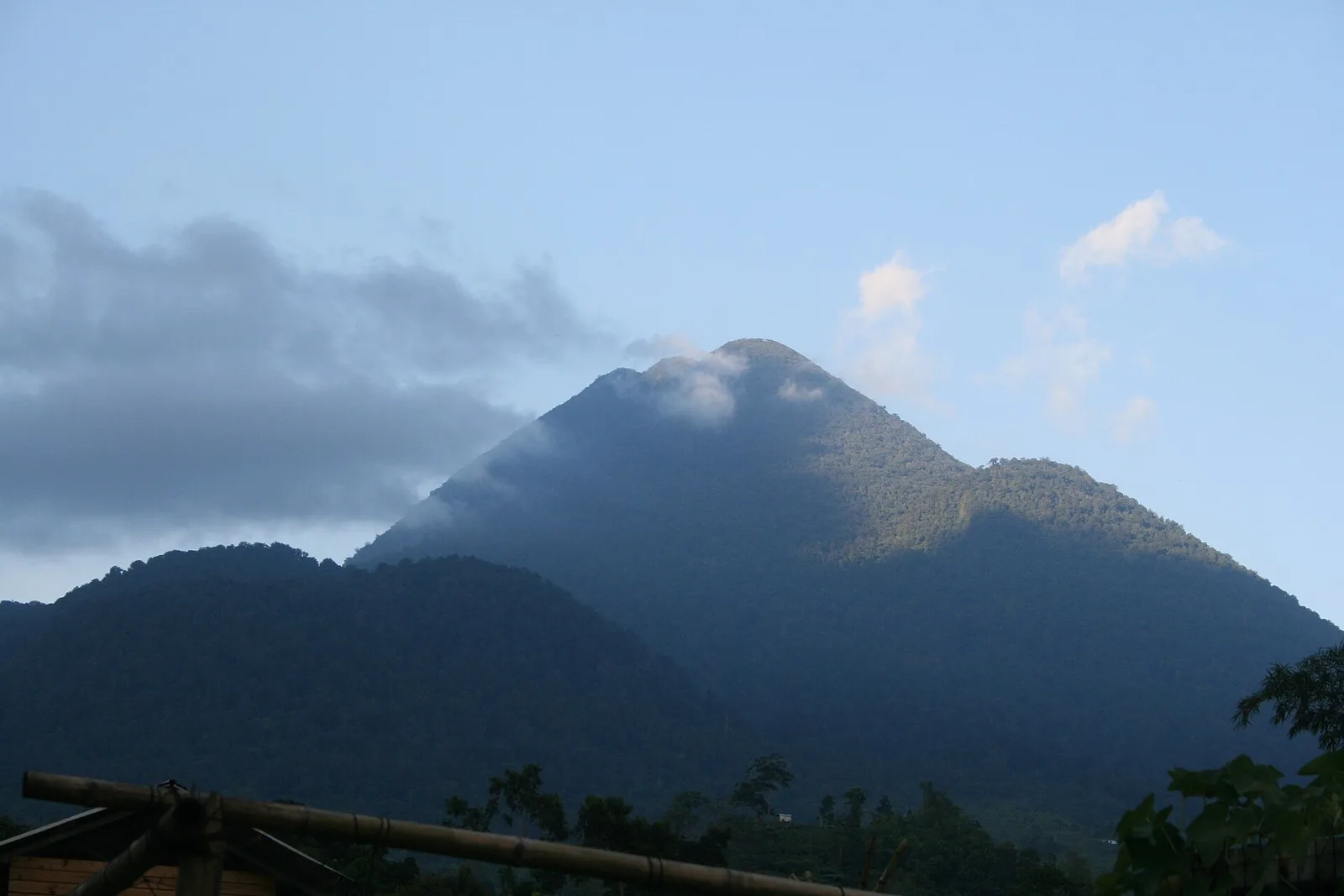
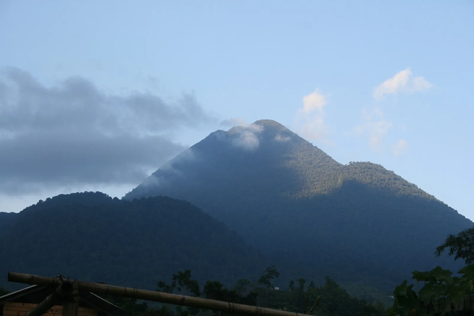
An active volcano, approximately 5.7 km from Acmonan, Tupi, South Cotabato. Adjacent volcanic edifices are Landayao, Tampad, and Albulhek to the west of the volcano, and Magolo to the north. There is a well-preserved 320-m-wide crater at the volcano's summit. …
A 3-day plan built from the See, Do and Eat listings in Wikivoyage's General Santos guide. The stops are in an order that keeps each day close together. Check the …
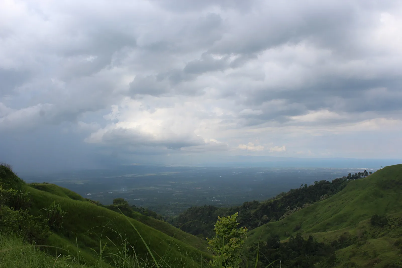
800-foot high mountain peak accessed by trails with panoramas of General Santos City.