
Bantay Kalbo
The northern-most point of Claveria is a hill jutting out into the Babuyan Channel and ringed by rocky cliffs. It is named as such for its grassy appearance (bantay means watchman and kalbo means bald).
The northern-most point of Claveria is a hill jutting out into the Babuyan Channel and ringed by rocky cliffs. It is named as such for its grassy appearance (bantay means watchman and kalbo means bald).
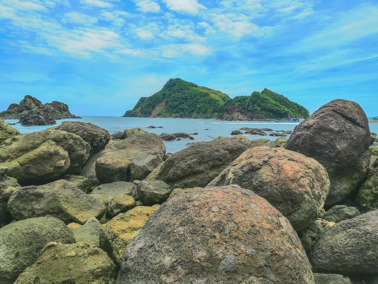
Claveria's seas are often very rough except for this section of beach that is protected by natural rock formations. You may have to keep clear of the fishing boats that are parked around the lagoon, testifying to the area's active …
A 1-day plan built from the See, Do and Eat listings in Wikivoyage's Tuao guide. The stops are in an order that keeps each day close together. Check the hours …
A 3-day plan built from the See, Do and Eat listings in Wikivoyage's Santa Ana (Philippines) guide. The stops are in an order that keeps each day close together. Check …
A 3-day plan built from the See, Do and Eat listings in Wikivoyage's Lal-lo guide. The stops are in an order that keeps each day close together. Check the hours …
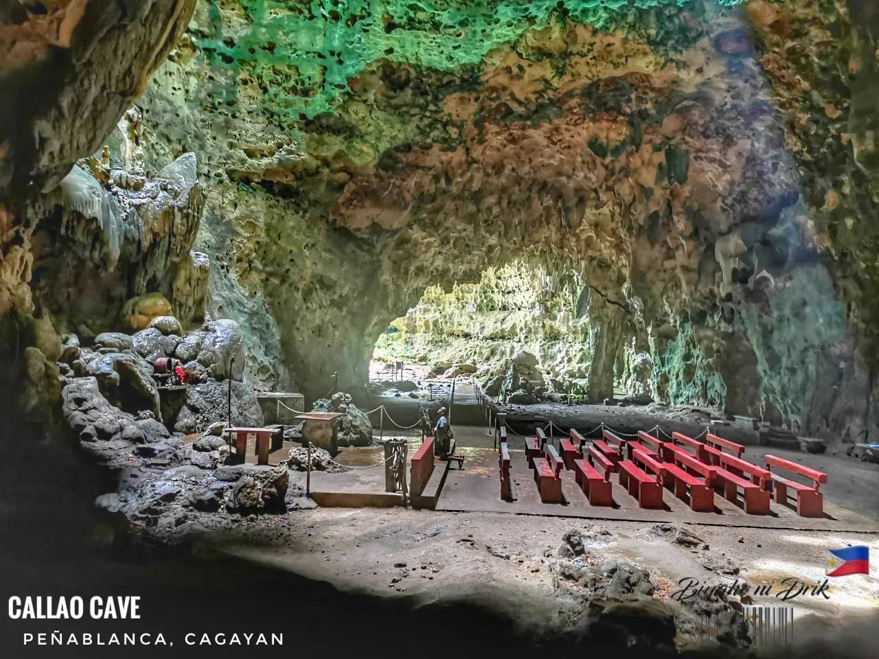
A limestone show cave of seven chambers, and the best known natural attraction in Cagayan. Bones found inside belong to Homo luzonensis, or Callao Man, an extinct human species confirmed in 2019 from Late Pleistocene fossils that a team led …
The colonial-era residence of the Mamba family, one of the leading political dynasties in Cagayan. The house was also used as the headquarters of the government of Free Cagayan during World War II, and afterwards became the administrative building of …
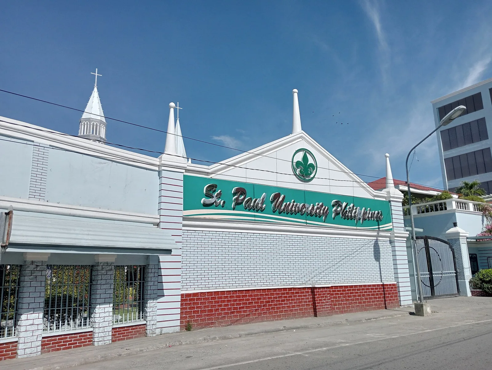
It was founded by the Sisters of St. Paul of Chartres in 1907, who came to Cagayan upon the invitation of Bishop Dennis Dougherty. The school had its operation in a Spanish Convento, adjoining the Cathedral of Tuguegarao. The institution …
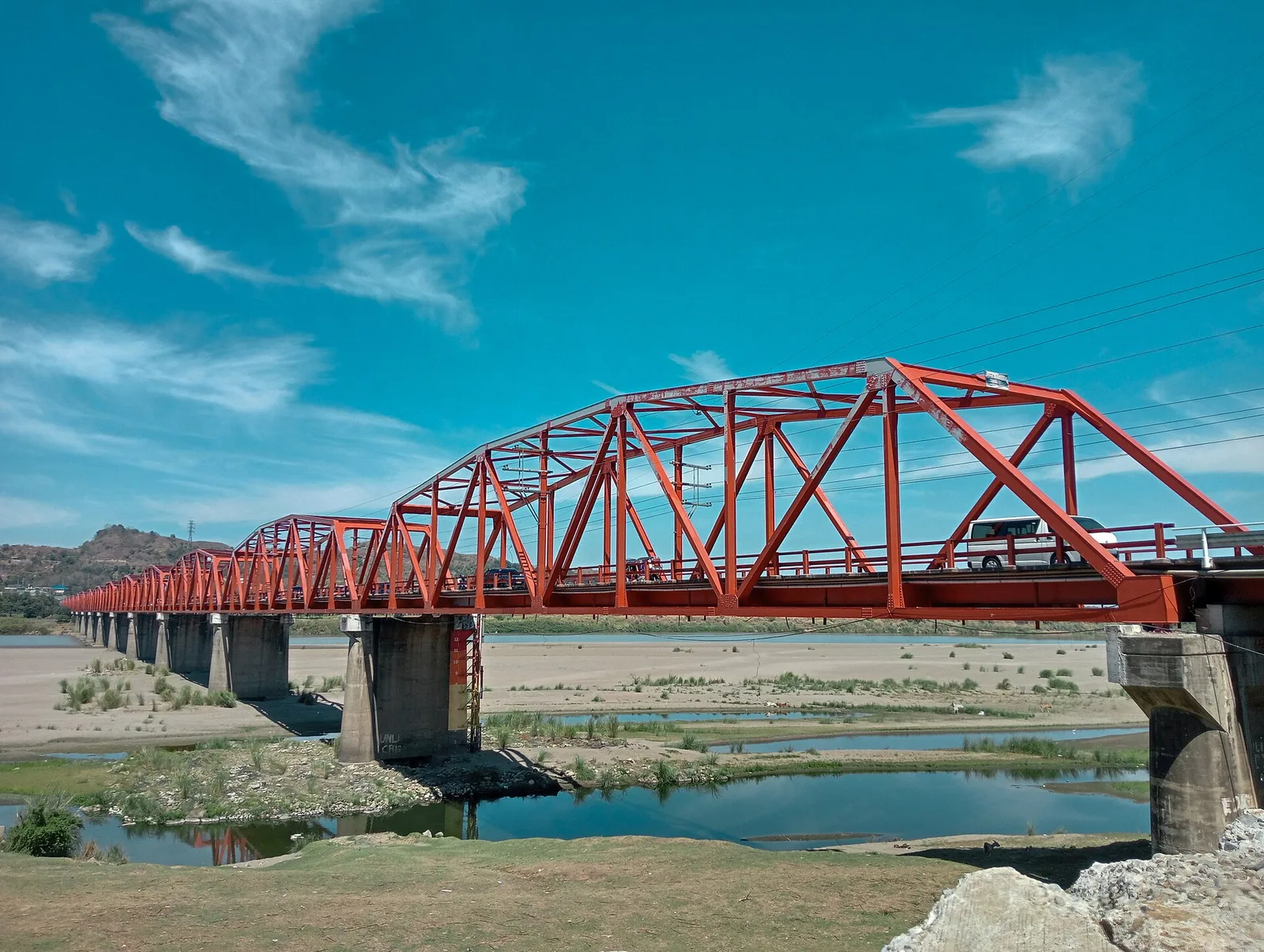
One of the longest bridges in the country at . It is from the city proper and offers an unobstructed view of the Cagayan River. It connects Tuguegarao with western Cagayan, Kalinga, Apayao and western Isabela.
A Hollywood-inspired sign spelling the town's name, built on top of a hill with panoramic views over the town center.
A local natural protected area along the Zinundungan River featuring pristine rivers, waterfalls, caves and forests.
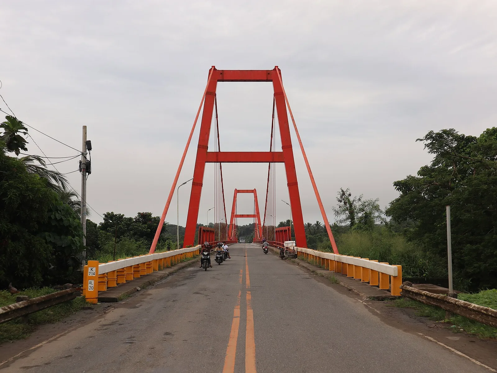
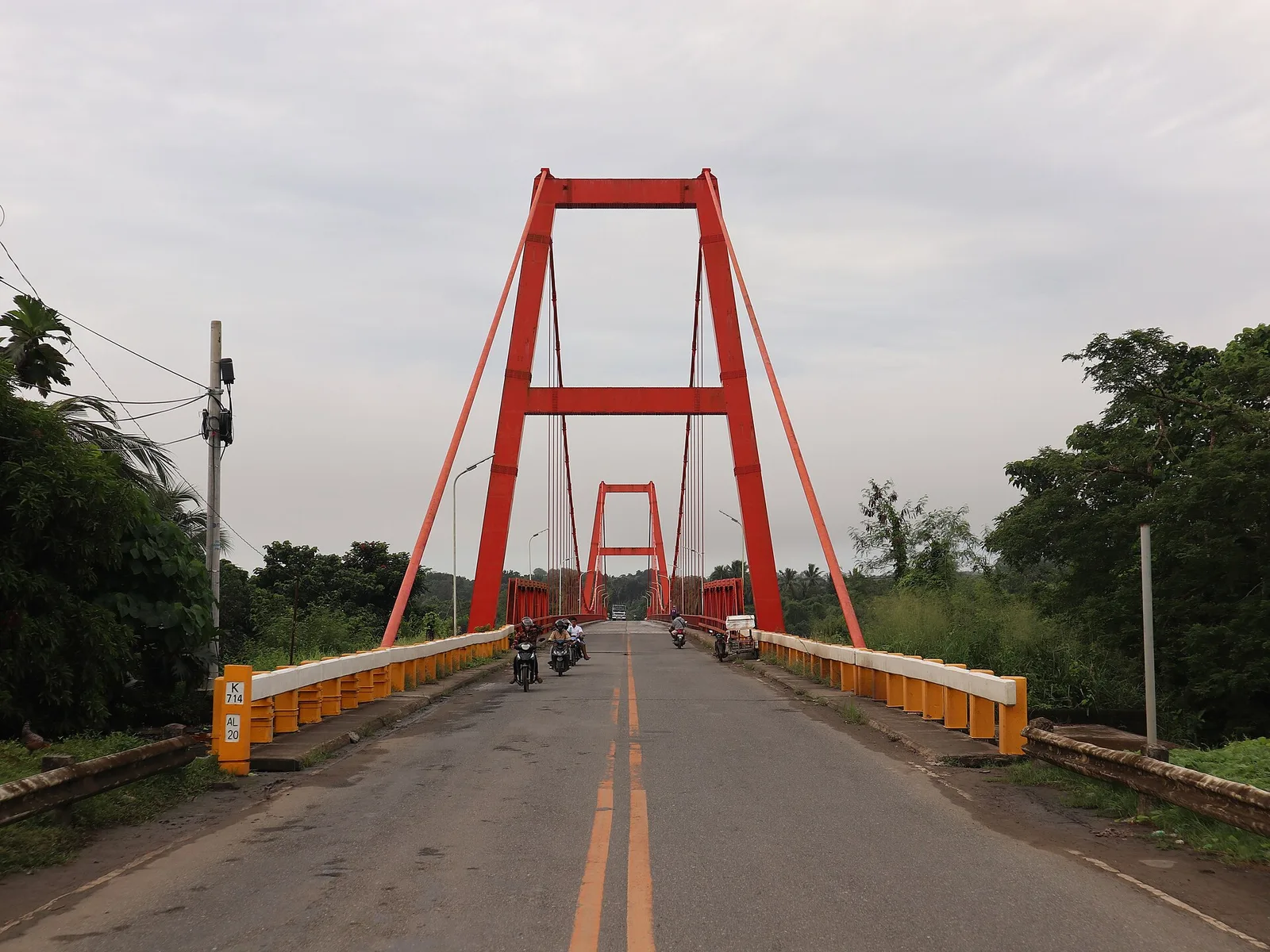
Asia's first suspension bridge, built in 1978. It spans the Cagayan River at Lallo and is long. The hanging bridge links Cagayan and the Ilocos Region by the scenic Patapat Road.
UNESCO World Heritage Site. Various sizes of shell middens carbon dated from 2000 BC to 100 AD
A small cove containing the Ubing-Ubing Rock formation, said in local legend to be the child of the couple turned into the Lakay-Lakay and Baket-baket formations who was also turned into stone by the same curse that struck his parents.
An observation point on a hilly stretch of the highway overlooking Cabicungan Bay and downtown Claveria. This should not be confused with an older viewdeck a few meters on the same road that has now been abandoned and overgrown.
A pair of rock formations at the edge of a cape that separates Taggat Lagoon from Cabicungan Bay, named after a local legend about a couple that was turned into stone by a curse and are now the said rock …
A series of rock formations along a gorge of the Pared River. It also has a hanging bridge.
A museum featuring colonial-era Roman Catholic artefacts inside the Lyceum of Aparri campus.
A 2-day plan built from the See, Do and Eat listings in Wikivoyage's Rizal (Cagayan) guide. The stops are in an order that keeps each day close together. Check the …