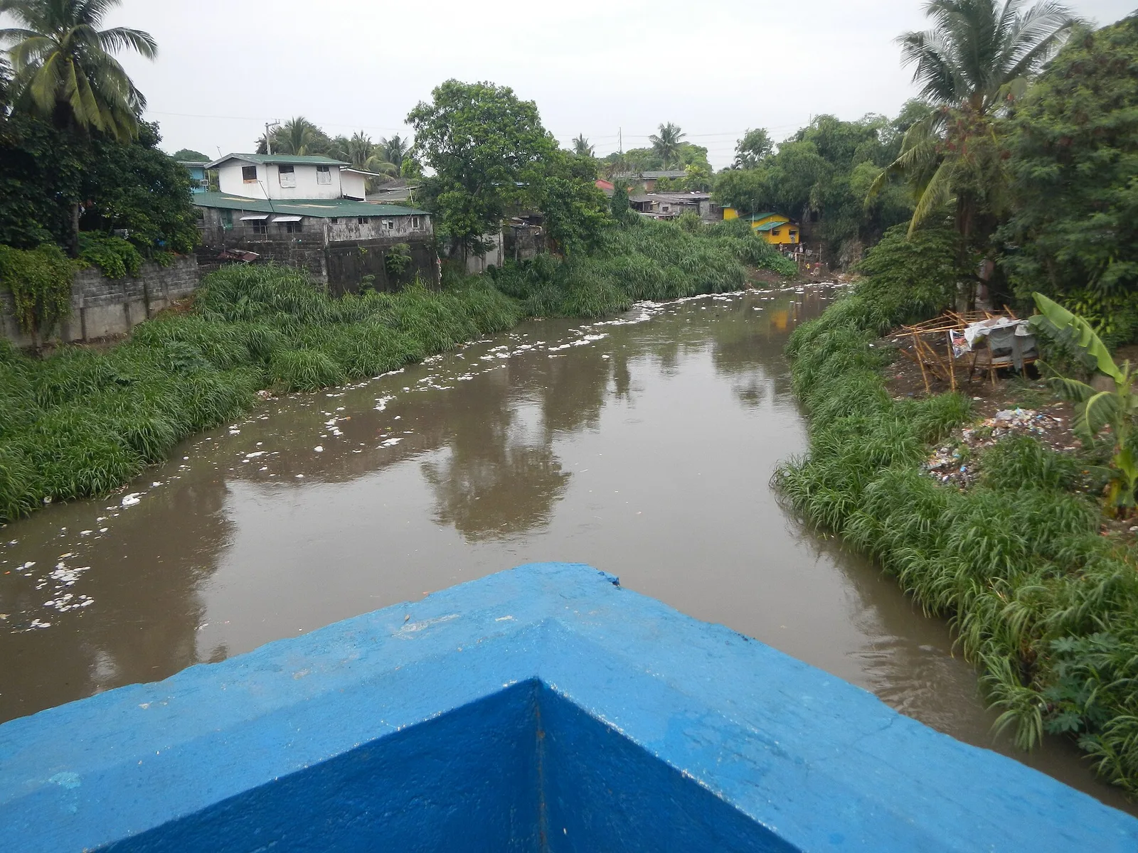

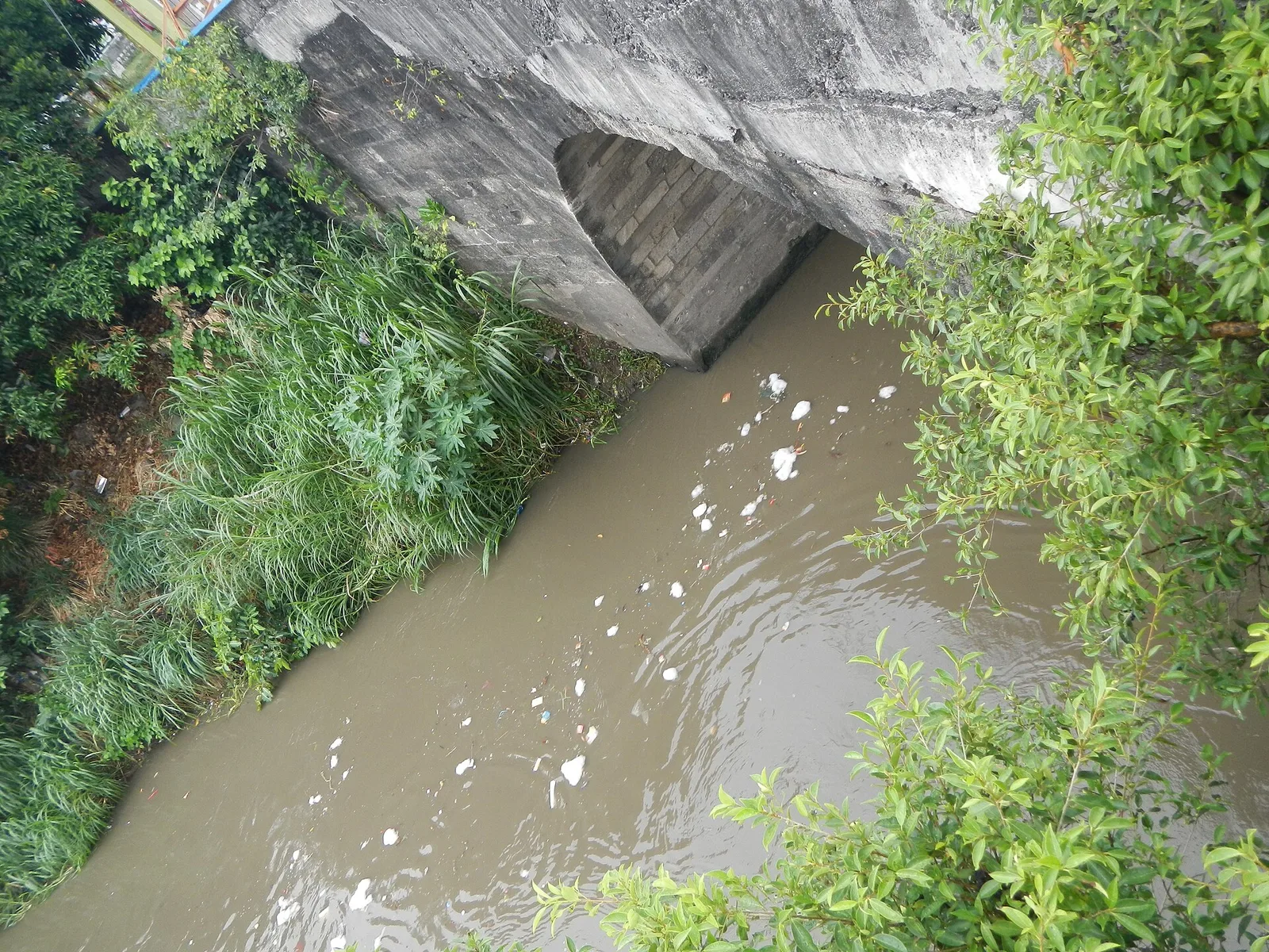

A two-span stone arch bridge finished in 1857, and the site of the Battle of Imus. Filipino revolutionaries fought the soldiers of the Spanish colonial government here on September 3, 1896, in an action also called the Battle of Imus River. They pulled down the northern span first, so the Spanish column would not see the gap until it was on the bridge.
The crossing runs 48 metres between landings and is 7.5 metres wide. Stone seats sit at the middle, on the central pier, and now carry the historical markers. The wall behind them repeats the scrolled front of the Imus Cathedral. The rails are painted blue and red for the flag, since Imus calls itself the Flag Capital. You can only see the bridge from its own deck, because the land on both sides is private.
- Town
- Imus City
Written by an editor · 22 Sep 2026 · source: Wikipedia, Bridge of Isabel II