
Drive · Benguet
Halsema Highway
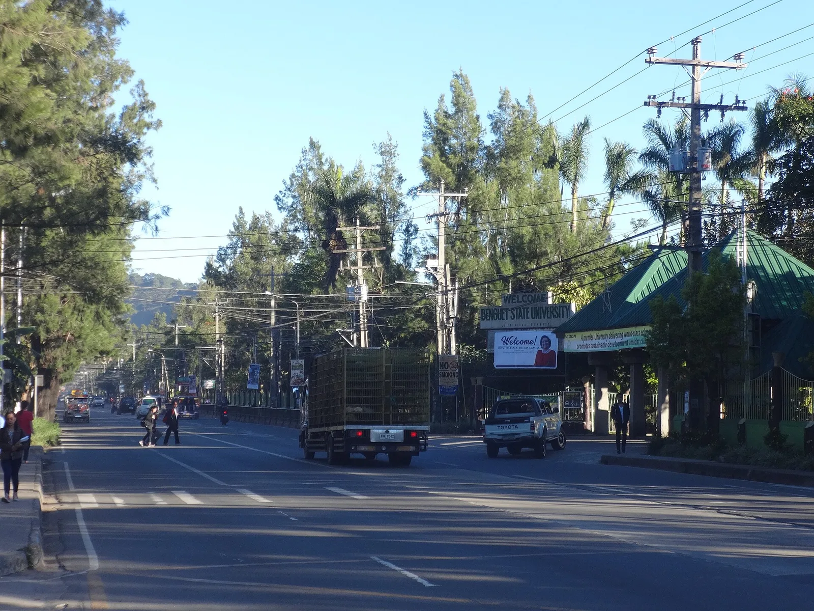

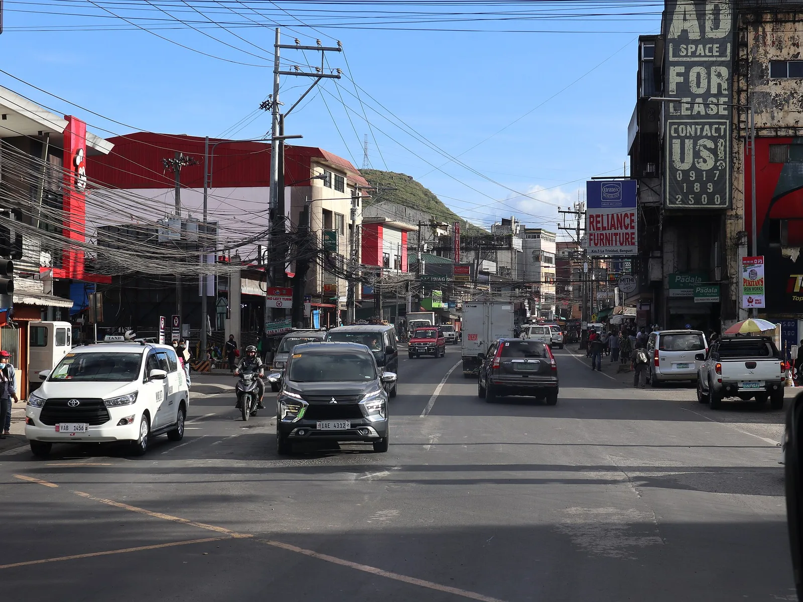

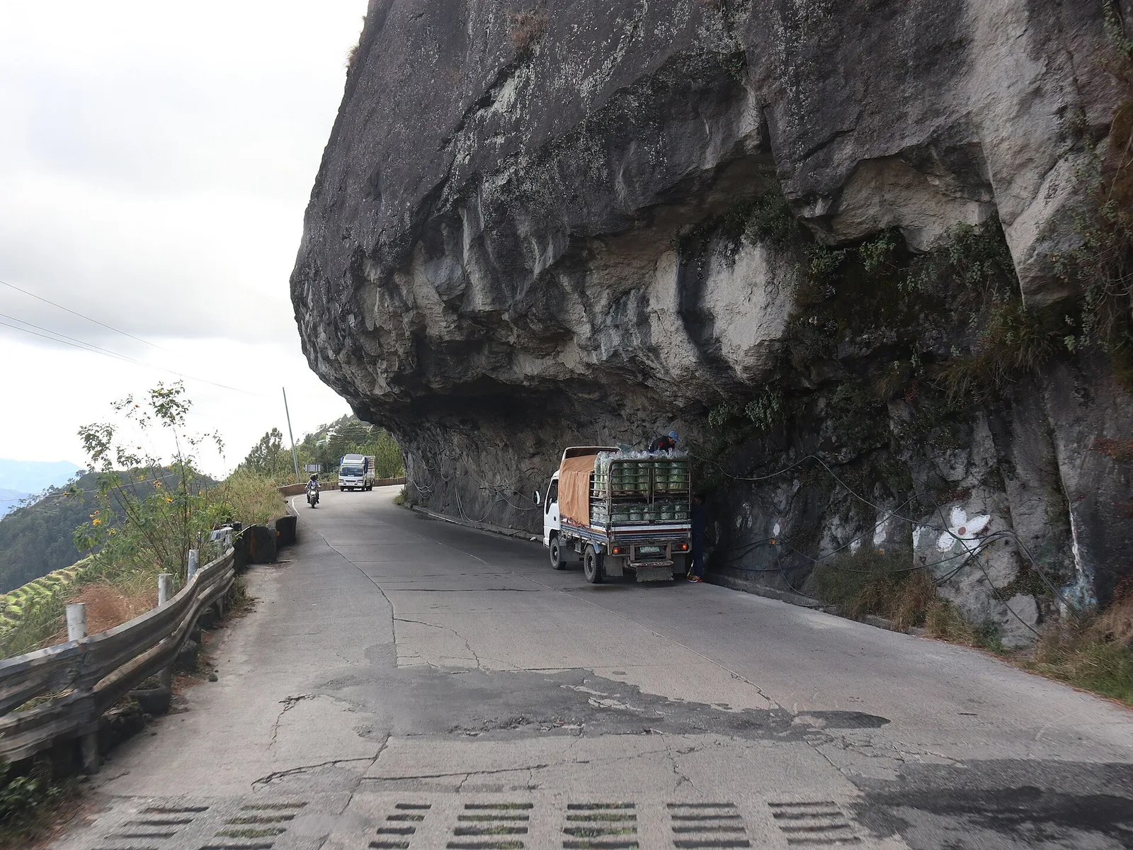

A mountain road that climbs past vegetable terraces from La Trinidad towards Mountain Province. It runs 150 kilometres from the city limit of Baguio to Bontoc, and 95 kilometres of it lie in Benguet, crossing eight towns. Its high point is 2,255.52 metres above sea level, in Atok.
The road held the record as the highest altitude highway in the country until 2019, when a road in Tinoc, Ifugao, took the title with a high point of 2,429 metres. At the village of Dantay, in Bontoc, the highway splits: one branch drops to downtown Bontoc, the other runs 29 kilometres on to Sagada.
- Town
- Benguet
Written by an editor · 21 Sep 2026 · source: Wikipedia, Halsema Highway