Park
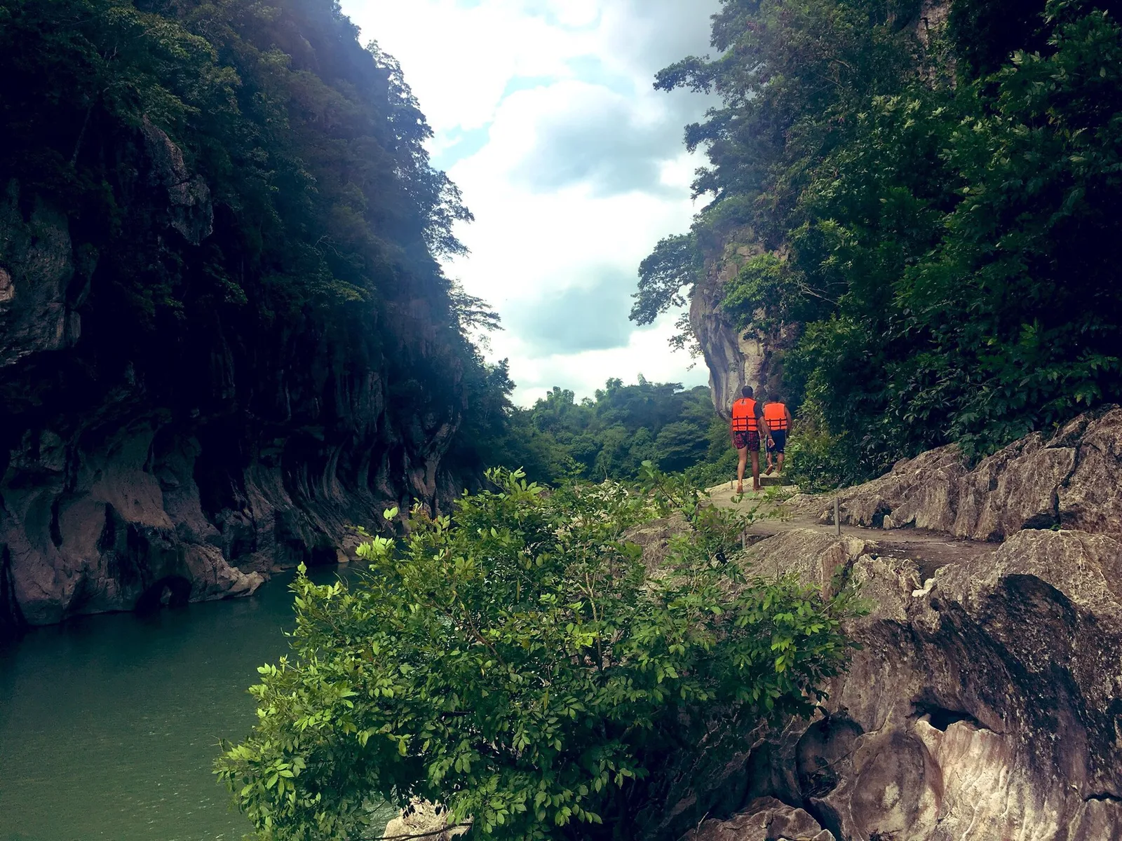

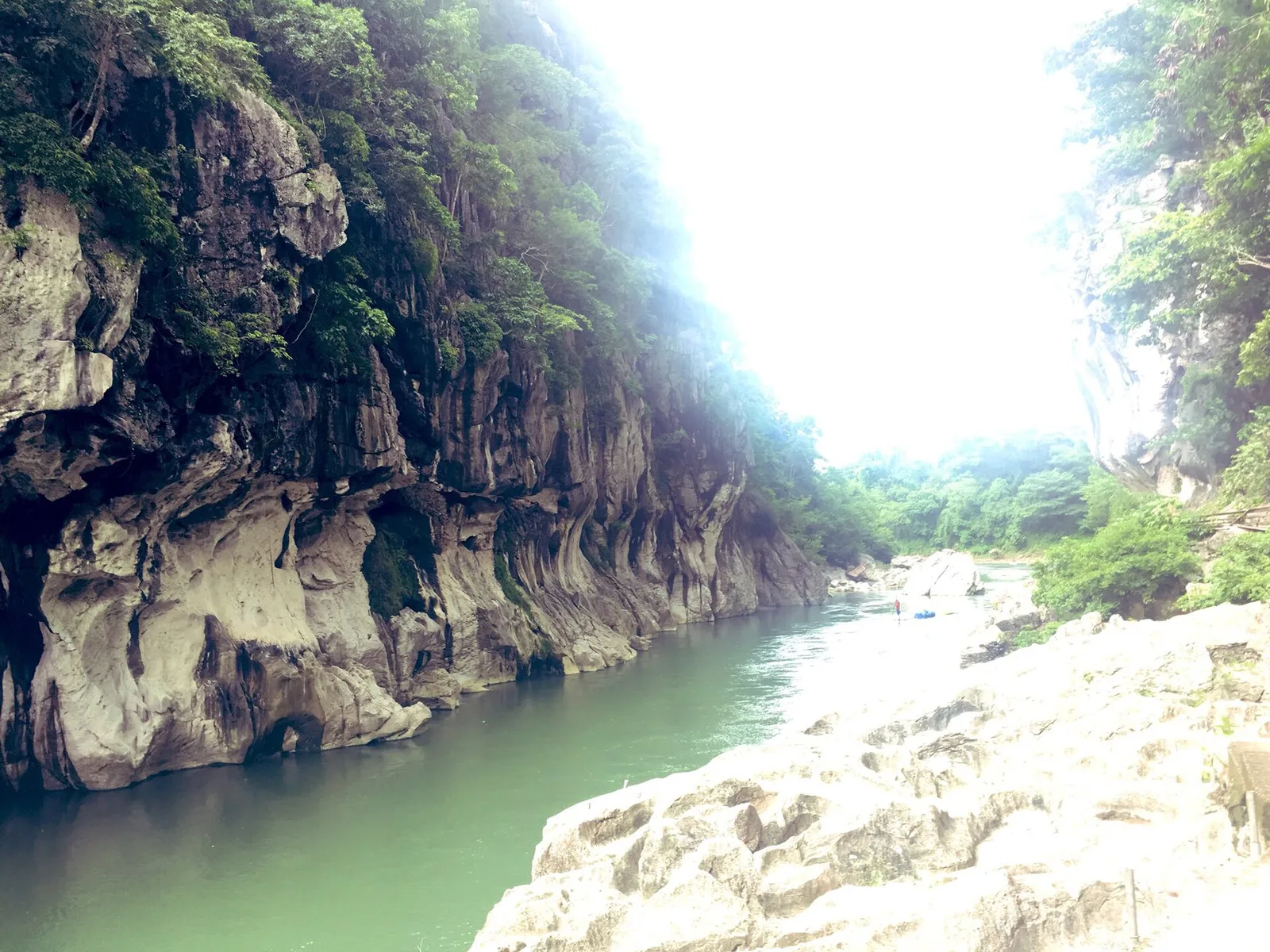

A stretch of the Peñaranda River walled by limestone up to 16 metres high, in the foothills of the Sierra Madre. The park covers 2,018 hectares in General Tinio, next to the boundary with Doña Remedios Trinidad in Bulacan, and was established in 1967.
The local government runs it as an ecotourism site, with grounds for picnics, swimming, fishing, raft riding and cliff diving. Caverns inside the park have been identified but not yet opened to visitors. This is one of the few remaining natural areas in this part of Luzon north of Manila.
- Where
- General Tinio
- Town
- Nueva Ecija
Written by an editor · 22 Sep 2026 · source: Wikipedia, Minalungao National Park