Muelle Pier
A scenic harbor area with a small promenade lined with cafés and restaurants, where visitors can see flying foxes (giant fruit bats) emerge from the nearby mangrove forest as they begin their evening search for food.
Island group · 8 regions
Showing 931 to 960 of 1,212
A scenic harbor area with a small promenade lined with cafés and restaurants, where visitors can see flying foxes (giant fruit bats) emerge from the nearby mangrove forest as they begin their evening search for food.
One of the best snorkeling and freediving spots in Puerto Galera, known for its vibrant coral formations and diverse marine life. The shallow waters are home to colorful reef fish, sea turtles, and occasional rays. The area is part of …
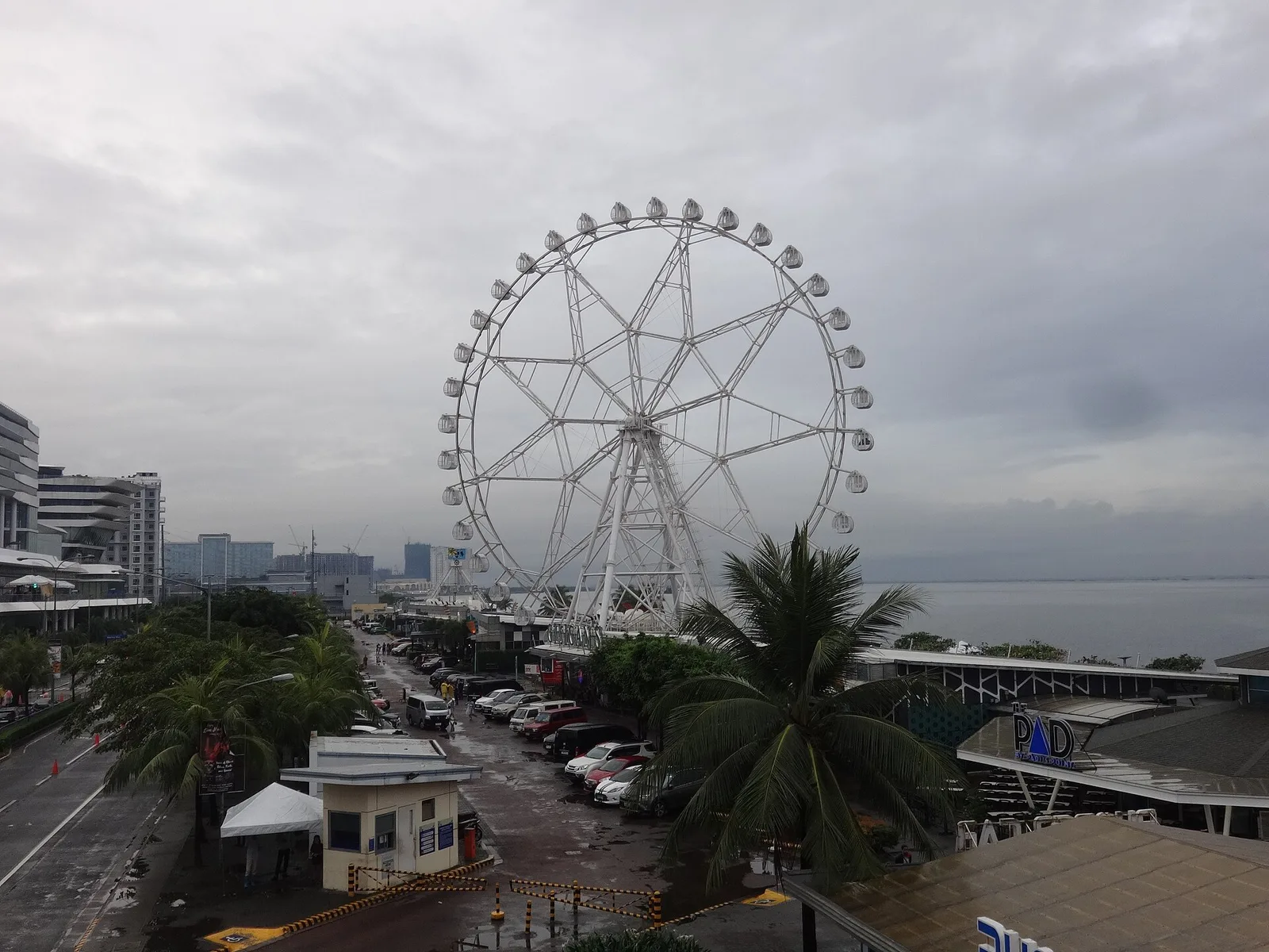
Riders of this huge Mall of Asia Ferris wheel with night lighting can take in city & bay views.
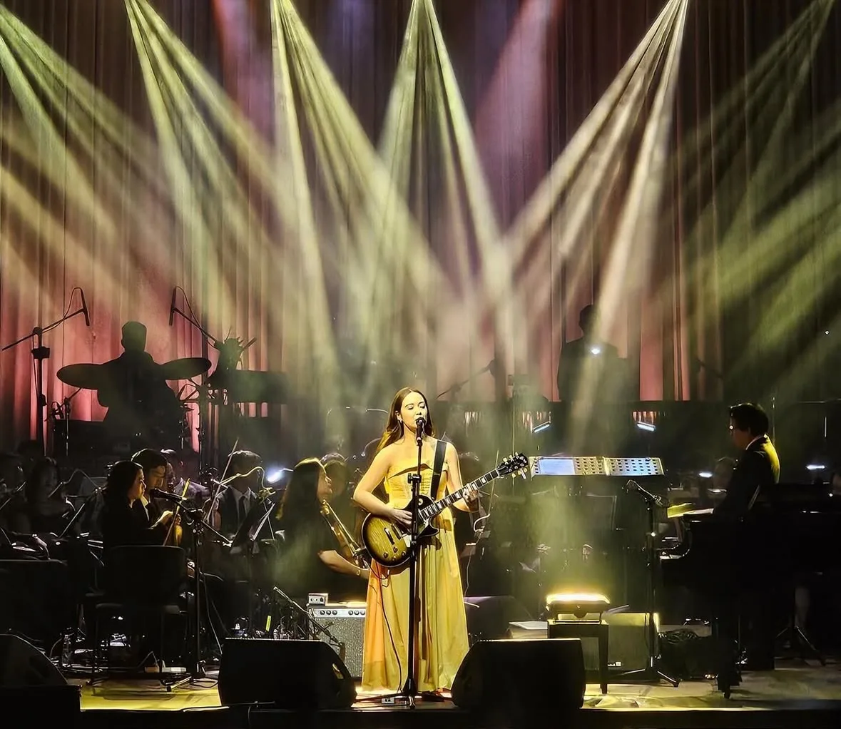
A sight at Atang Dela Rama Street, Pasay City. Hours: 8PM-9PM. Entry: Foreigner ₱1,500; local ₱700.00.
Coconut lumber & shells were used for this octagonal government building & some of its furniture.
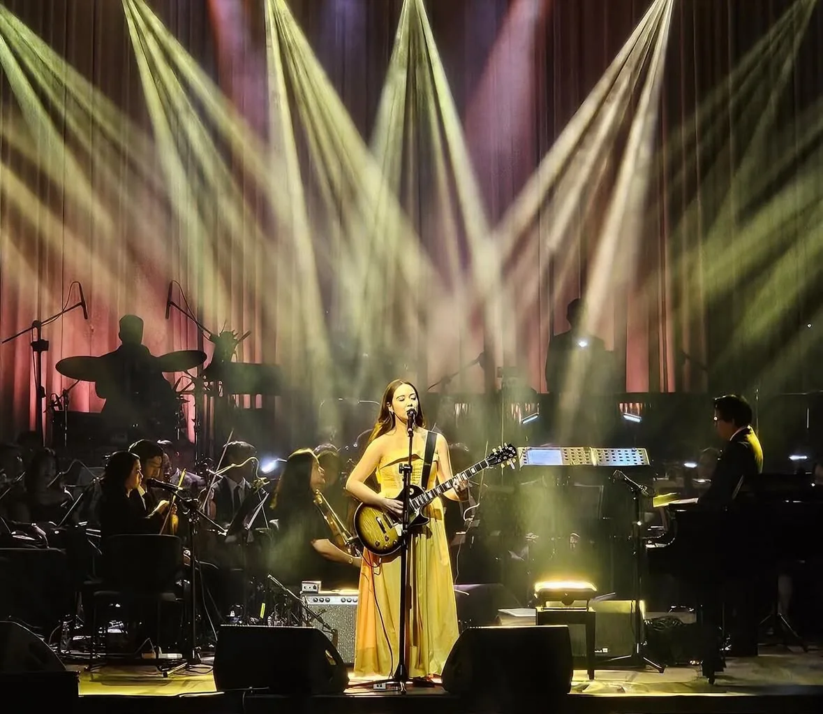
the venue of the 1994 Miss Universe Beauty Pageant in Manila.
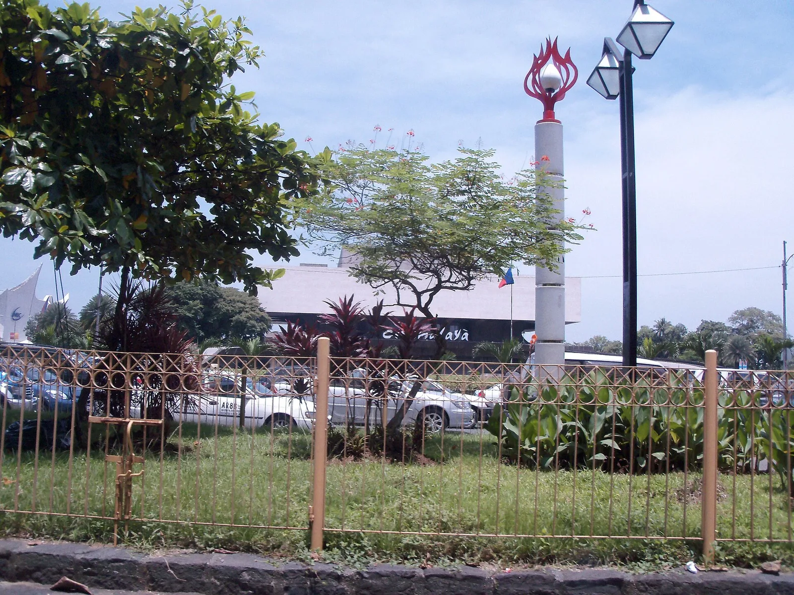
Straddling the boundary with Manila, this building complex showcases Filipino performing arts and culture. The area is also popular for jogging, and families often have picnics here, especially on weekends.
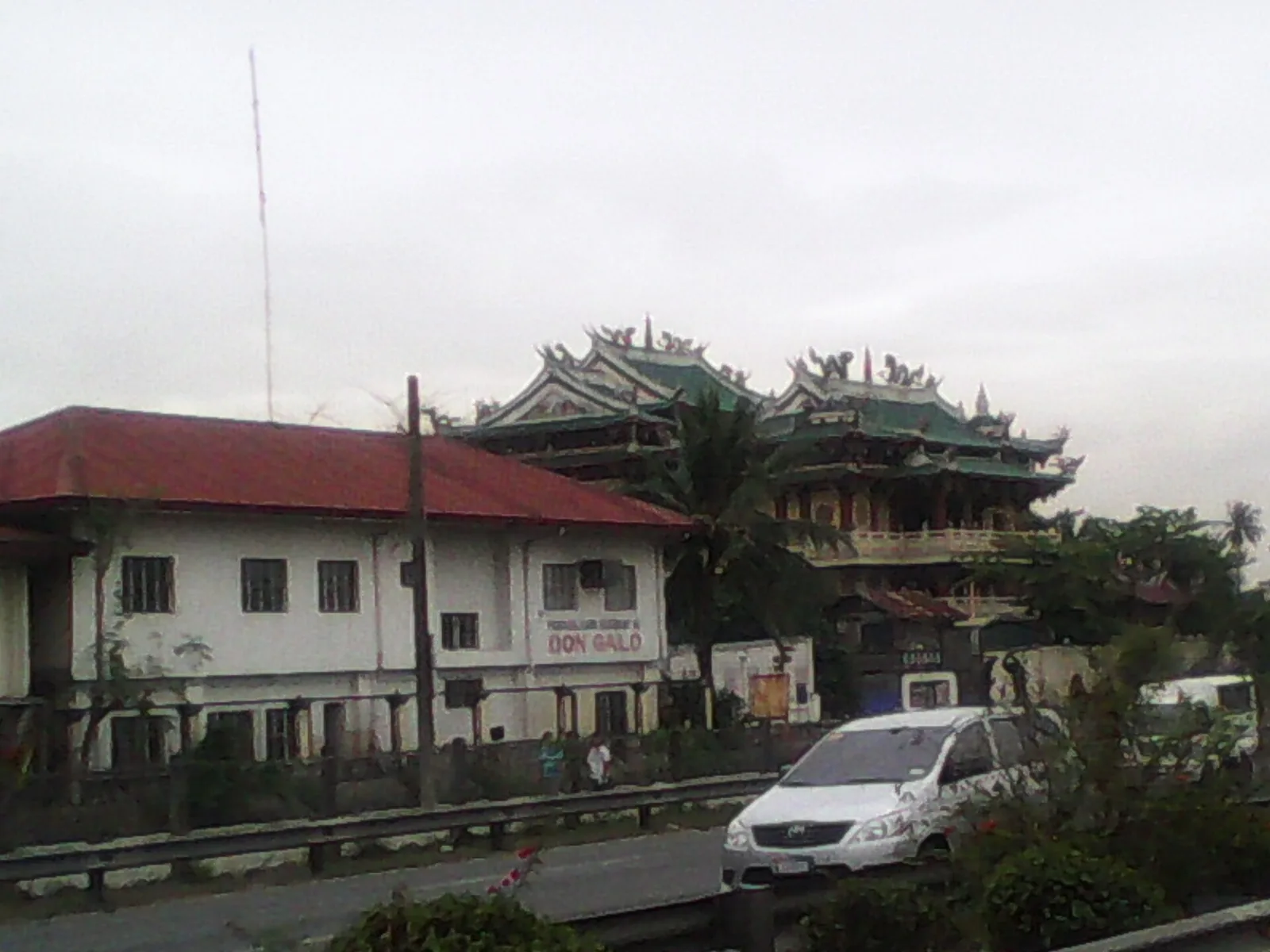
Parañaque locals led by Don Galo, who became the namesake of the barangay nearby, helped the Spaniards to ward off an attack by the Chinese pirate Limahong off Manila Bay, but the waters nearby is now buried by land reclamation …
A sight at Okada Manila, Parañaque City. Hours: Mon-Thu 6PM-10PM, Fri-Sun 6PM-midnight. Entry: Free.
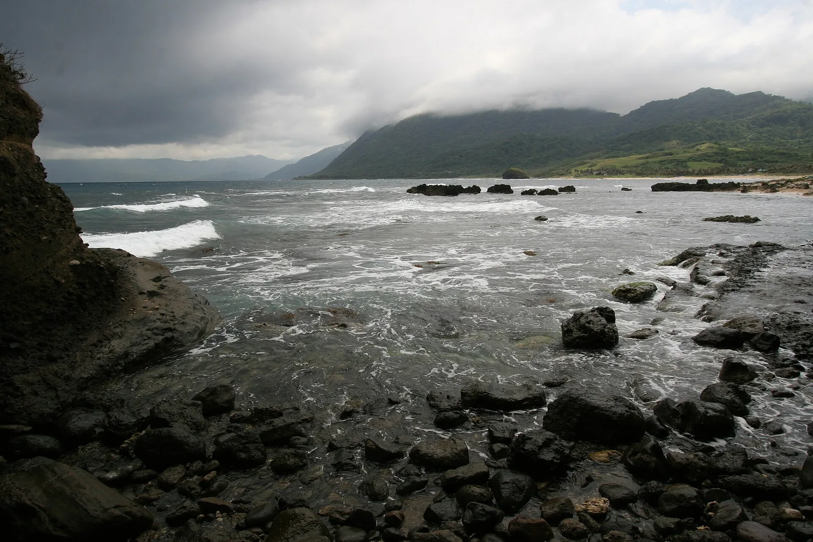
Verdant seaside knoll that, on account of seismic and wave pressures, developed a tunnel that is frequented by swallows and the sea at times.
Timmangtang rock stands majestically a few meters away from Bantay Abot caves along the shoreline. You cannot separate Bantay Abot Cave from the Timmantang Rock for they are believed to be lovers, the former being the female and the latter …
A three-tier cascade accessible through a trail with 536 steps from Khohang Garden.
A fishermen's shelter built on stilts atop a sandbar near San Salvador Island.
A series of symmetrically shaped rolling hills at the boundary with Abra province
A road tunnel cut through a stretch of the Cordillera Mountains to bypass the narrow treacherous stretch of the Abra River Gorge. The tunnel marks the approximate boundary between Ilocos Sur and Abra provinces and has rest stops on the …
The remains of a Spanish-era watchtower and fortifications meant to guard against pirates and foreign invaders from the South China Sea. The site was declared a National Cultural Treasure by the Philippine government in 2015.
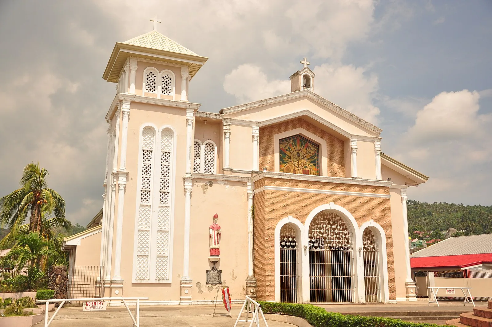
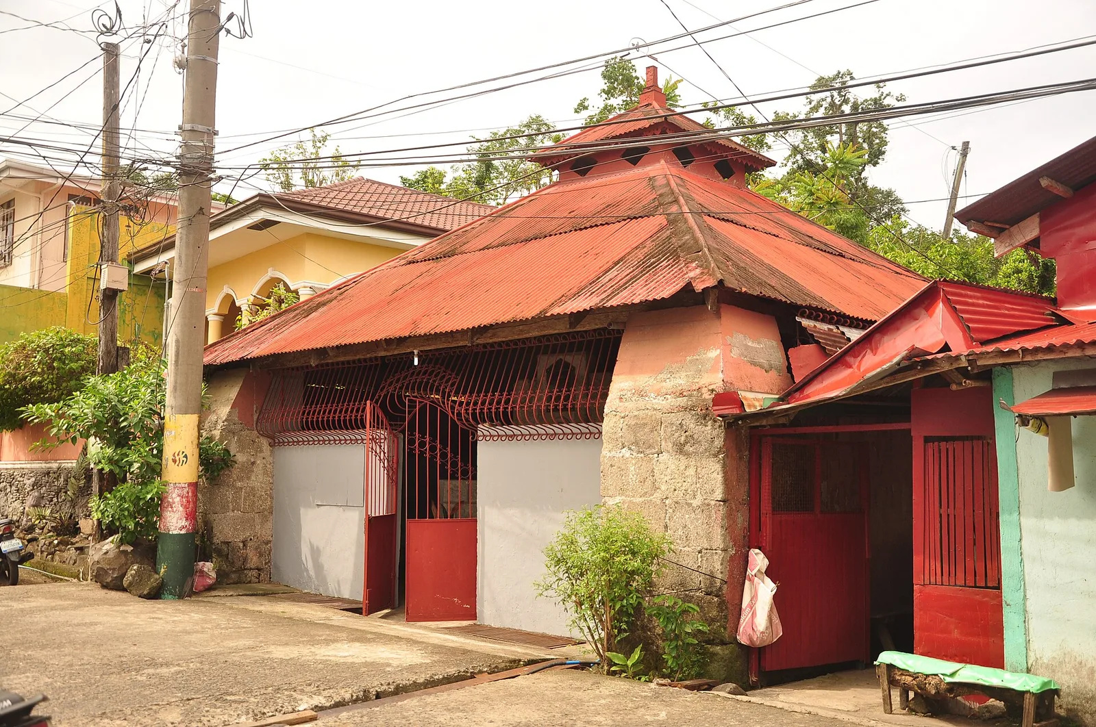
A resort and hotel complex whose main draw is a collection of miniaturized landmarks from around the world.
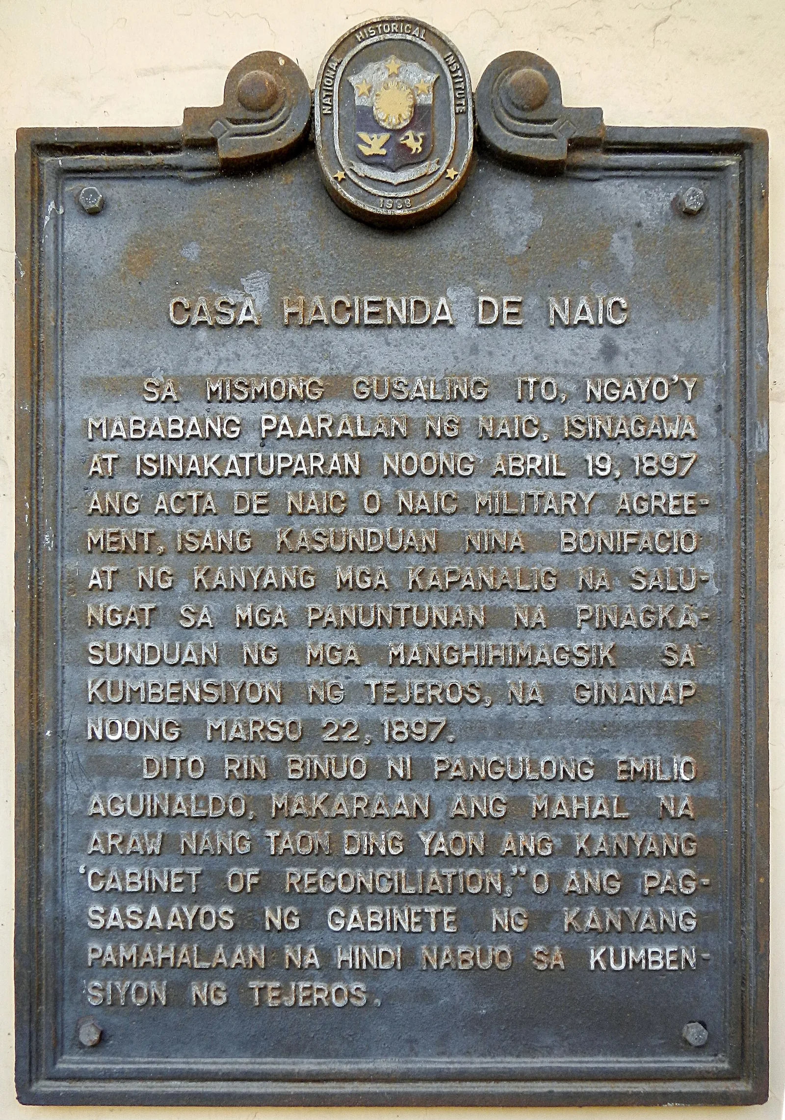
One of the few surviving friar estate manors from the Spanish era. It was also used as a headquarters for the Philippine revolutionary government led by Andres Bonifacio in 1897.
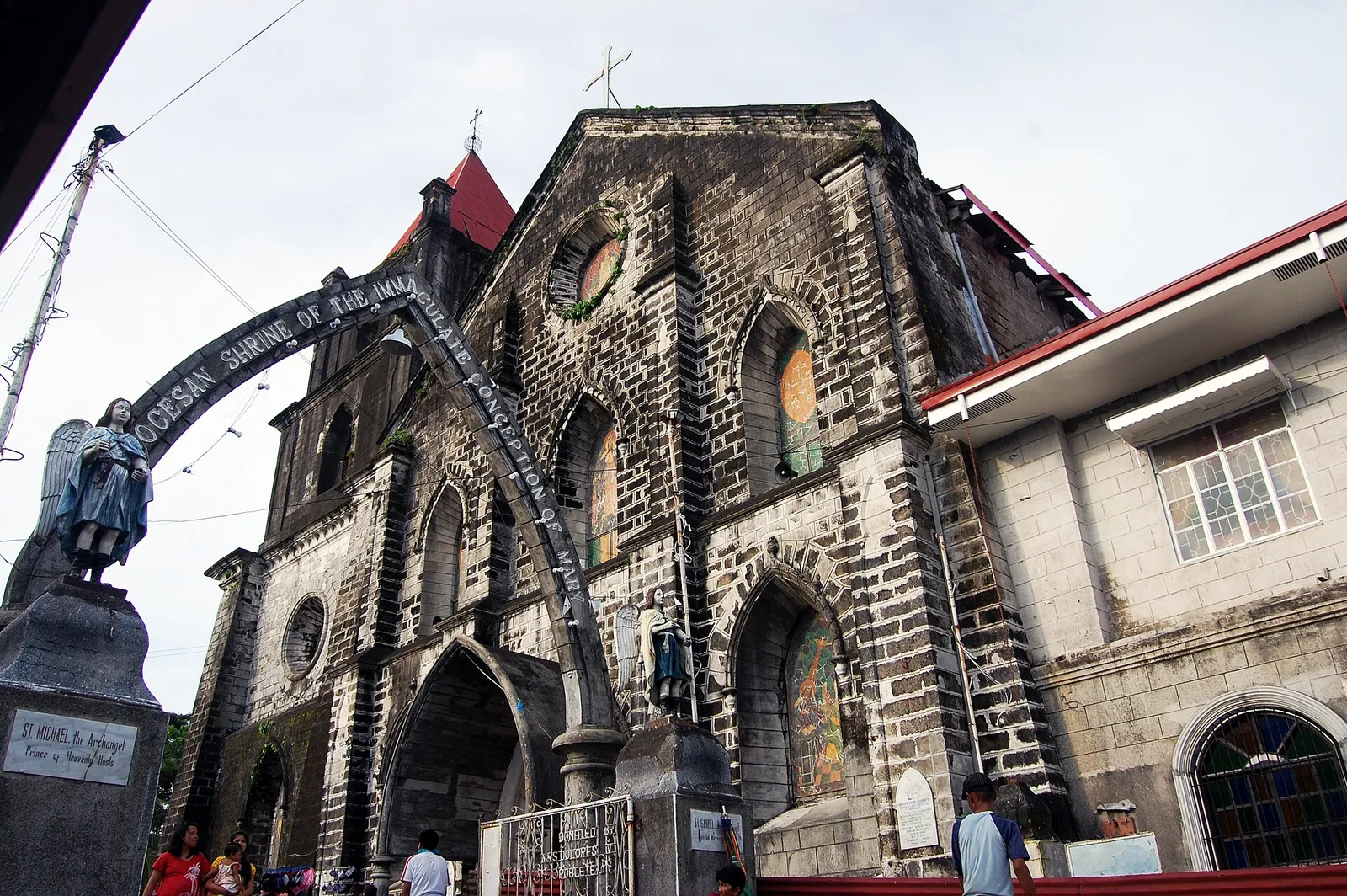
Naic's main Roman Catholic church, built in the Baroque style during the Spanish era and containing an exquisite altarpiece and interior. At the front is a pedestrian mural showing a map of Cavite.
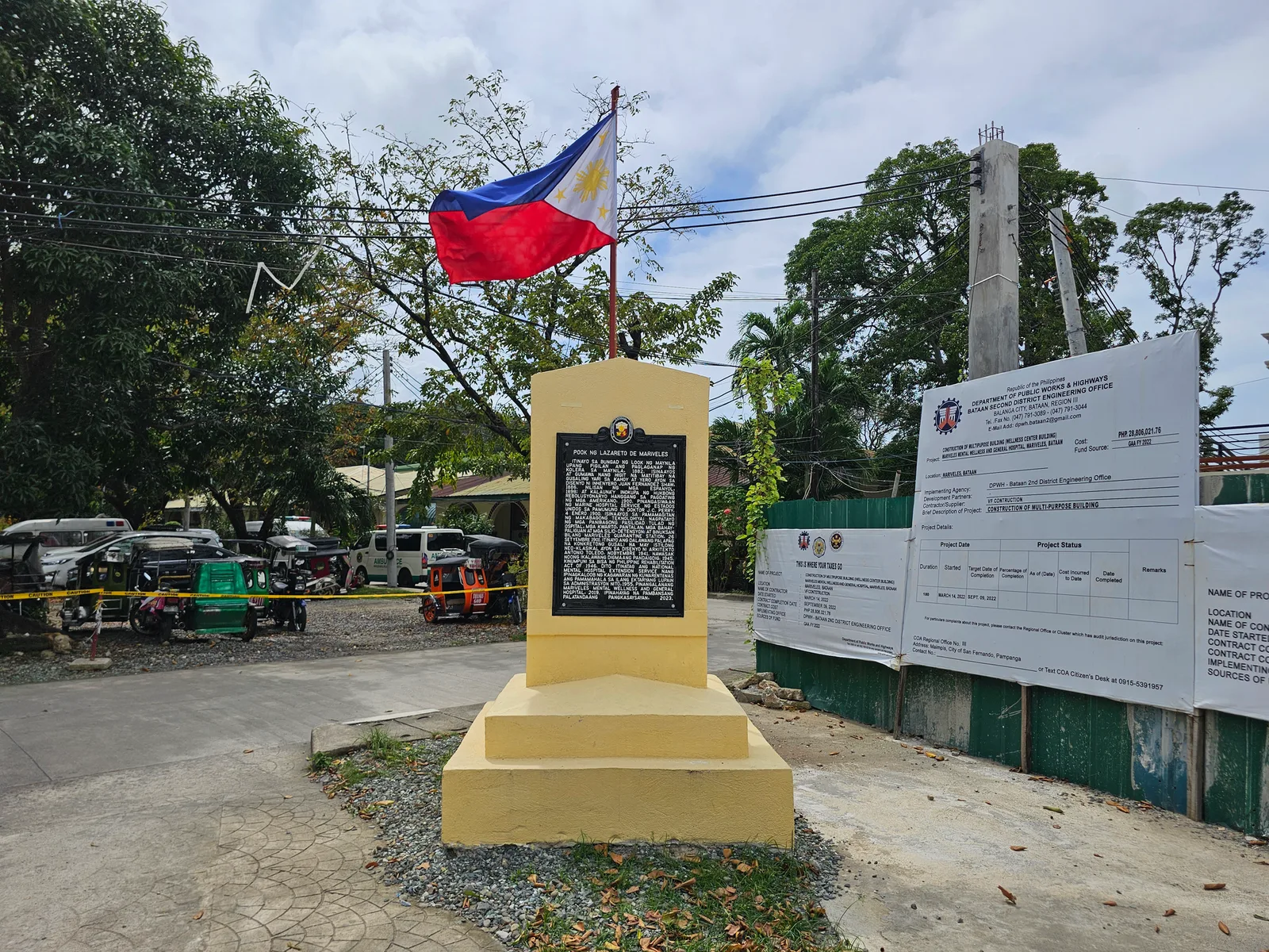
An equestrian statue on the junction between Manila East Road and J.P. Rizal Street leading to the town propers of Baras, Tanay and Pililla.
A sight at 29C6+MP4, Urdaneta-Calasiao Road, Naisian, Manaoag.
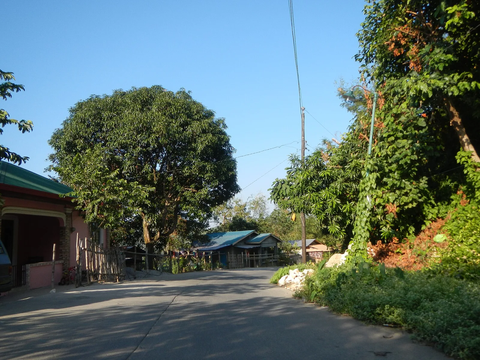
A road bridge offering stunning views of the upper reaches of the Angat River valley.