Cordillera Administrative Region (CAR): Visit

Region in Luzon · 7 provinces and cities

no photo
Place Atok, Benguet by an editor

Haight's Place

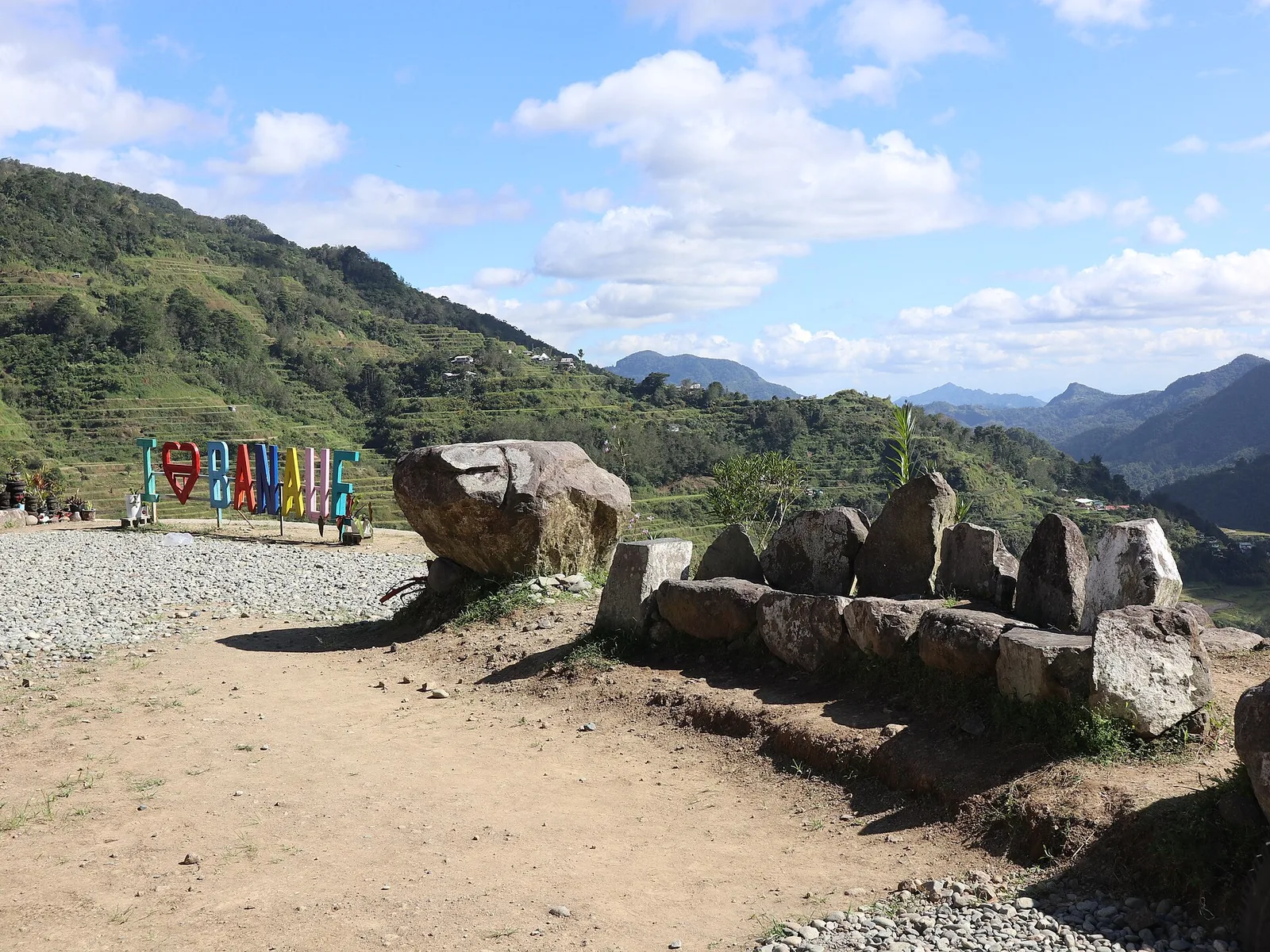
Located at above sea level, it provides a panoramic view of Atok's vegetable terraces which includes the Naguey Rice Terraces in the west. Frost occurs in the area from December to February. The place was named after an American soldier …
0 hearts
no photo
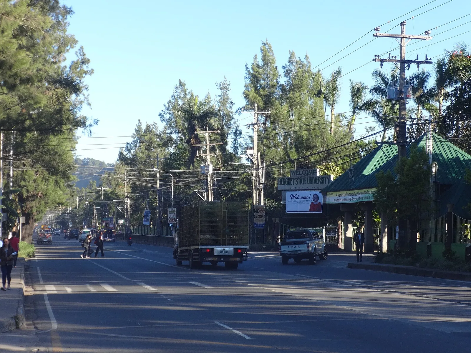
Place Baguio City, Cordillera Administrative Region (CAR) by an editor

Lion's Head

Limestone sculpture of a lion by the Baguio chapter of the Lions Club. It is carved by Ifugao artist Anselmo Bayang Day-ag and is considered as the Baguio's "entrance marker" for tourists coming from south of the city.

0 hearts
Place Baguio City, Cordillera Administrative Region (CAR) by an editor

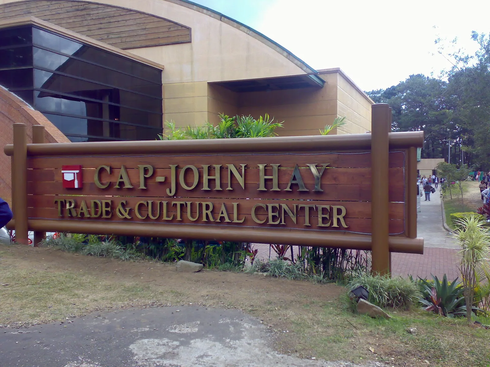
Camp John Hay

This former R&R facility for American military personnel during the American occupation was turned over to the Philippine Government in 1991. Now under the auspices of the Bases Conversion & Development Authority (BCDA), Camp John Hay is a sort of …

0 hearts
Place River Tabuk City, Kalinga by an editor

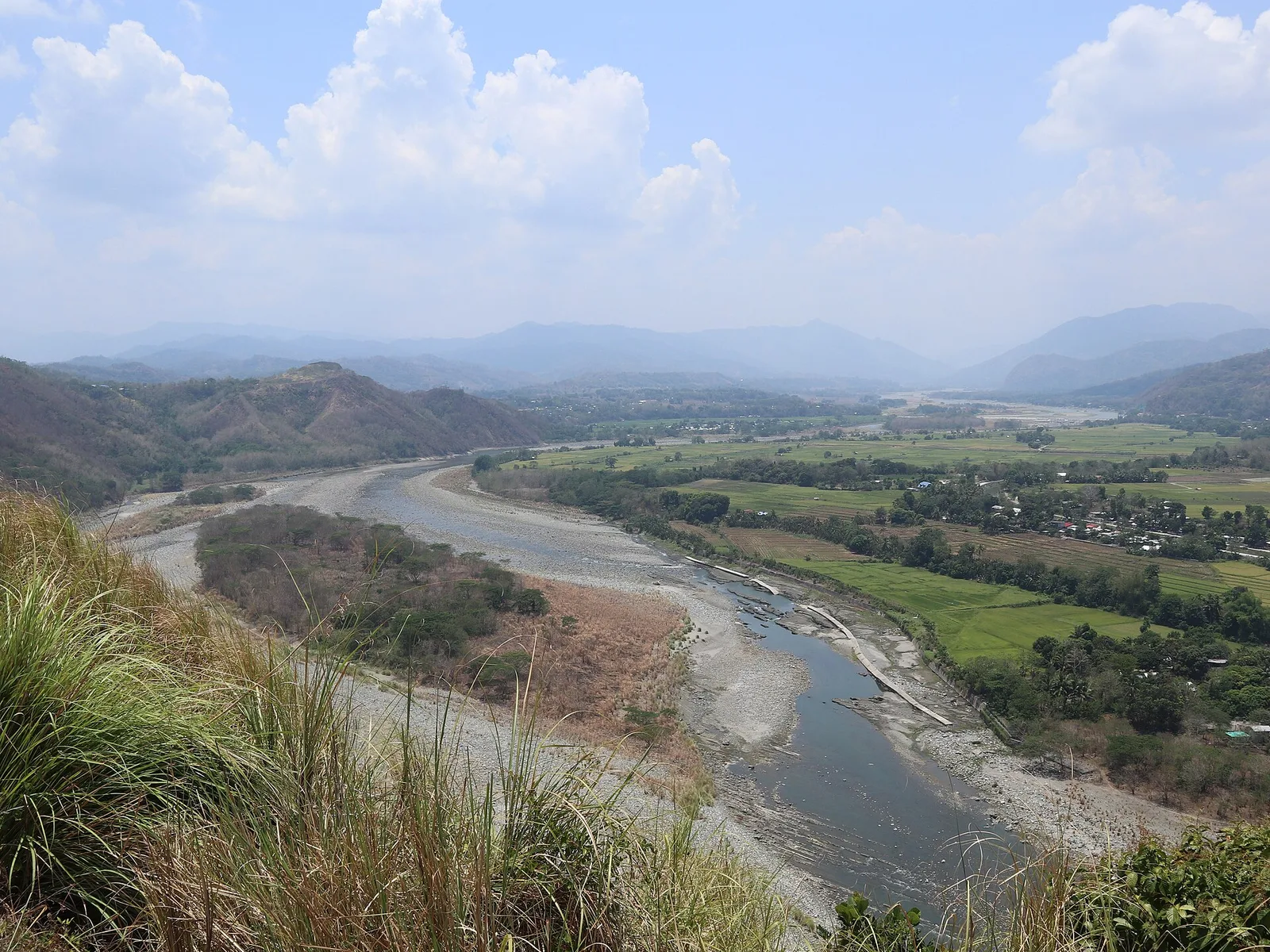
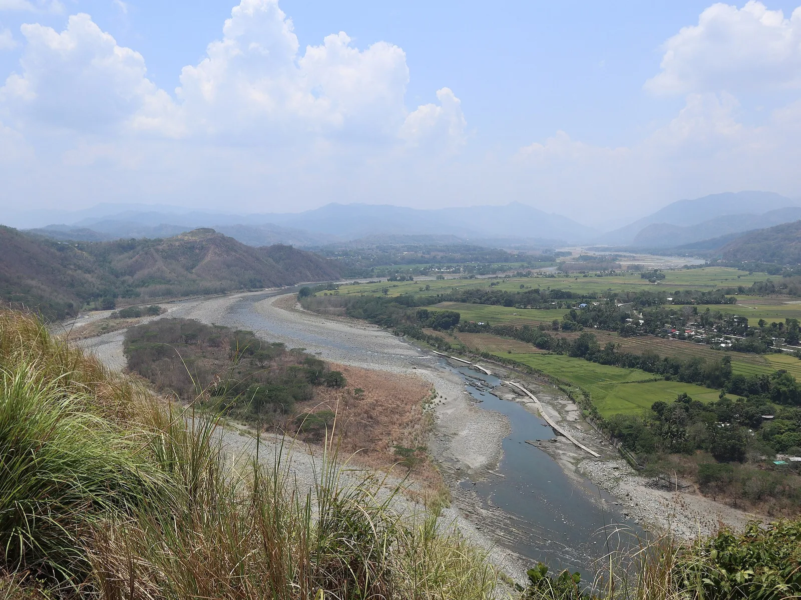
Chico River

A stream called Tobog once flowed from Sitio Paligatto in Barangay Balawag into the Chico River. That stream's name became the source of the city's own name, Tabuk, after changes in spelling over time. Long before Spanish contact, Kalinga communities …

0 hearts
Itinerary 3 days, 12 stops Tabuk City via Wikivoyage

A 3-day plan built from the See, Do and Eat listings in Wikivoyage's Tabuk (Kalinga) guide. The stops are in an order that keeps each day close together. Check the …

0 hearts per head
Itinerary 3 days, 11 stops Mayoyao via Wikivoyage

A 3-day plan built from the See, Do and Eat listings in Wikivoyage's Mayoyao guide. The stops are in an order that keeps each day close together. Check the hours …

0 hearts per head
Itinerary 2 days, 4 stops Hingyon via Wikivoyage

A 2-day plan built from the See, Do and Eat listings in Wikivoyage's Hingyon guide. The stops are in an order that keeps each day close together. Check the hours …

0 hearts per head
Itinerary 3 days, 9 stops Kiangan via Wikivoyage

A 3-day plan built from the See, Do and Eat listings in Wikivoyage's Kiangan guide. The stops are in an order that keeps each day close together. Check the hours …

0 hearts per head
Itinerary 1 day, 3 stops Atok via Wikivoyage

A 1-day plan built from the See, Do and Eat listings in Wikivoyage's Atok guide. The stops are in an order that keeps each day close together. Check the hours …

0 hearts per head
Place Drive Benguet, Cordillera Administrative Region (CAR) by an editor

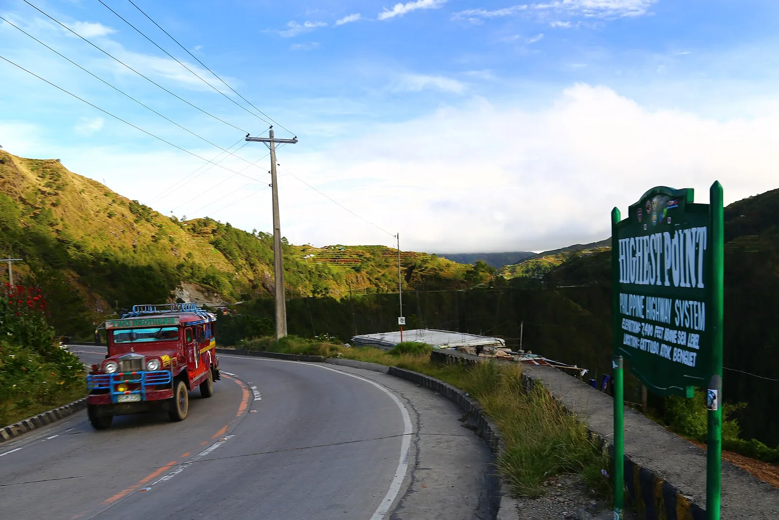
Halsema Highway

A mountain road that climbs past vegetable terraces from La Trinidad towards Mountain Province. It runs 150 kilometres from the city limit of Baguio to Bontoc, and 95 kilometres of it lie in Benguet, crossing eight towns. Its high point …

0 hearts
Filters

Filters

Before you go

  1. Check the opening hours and the fee on the page.
  2. Bring cash: many gates and boats do not take cards.
  3. Take your trash with you.