Aguirre Centennial House
A 1920's house inside the Butterfly Haven Resort, which has a butterfly garden.
Region in Luzon · 9 provinces and cities
A 1920's house inside the Butterfly Haven Resort, which has a butterfly garden.
A historic monument, commemorating the Magnificent 12 Senators of the Republic of the Philippines who stood up and said "no" to the military bases in Olongapo and ended the foreign military presence in the country.
Symbolises the past event on how the volunteers saved the Subic Bay from the Mount Pinatubo eruption, transforming the former Navy Base.
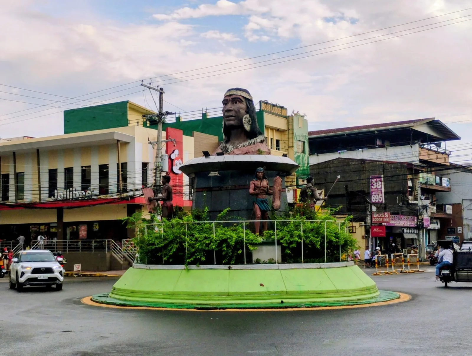
A monument of a head of a chieftain in the middle of a roundabout in Rizal Avenue. According to local folklore, the area was once ruled by a benevolent chieftain who was known as "Apo" who was beheaded by rival …
An island with extensive white sand beaches, a giant clam sanctuary and a thriving fishing community inside a marine reserve.
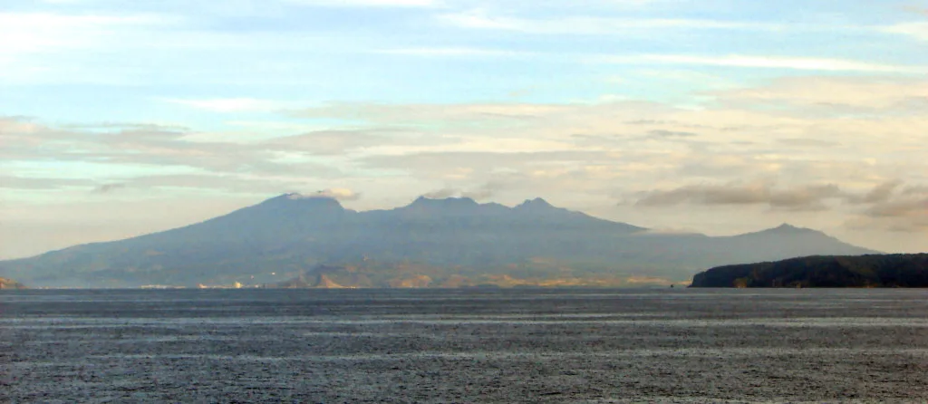
A dormant volcano with a wide caldera that comprises the southern part of Bataan. It has multiple peaks and ridges that are popular among climbers and hikers such as Mount Tarak.
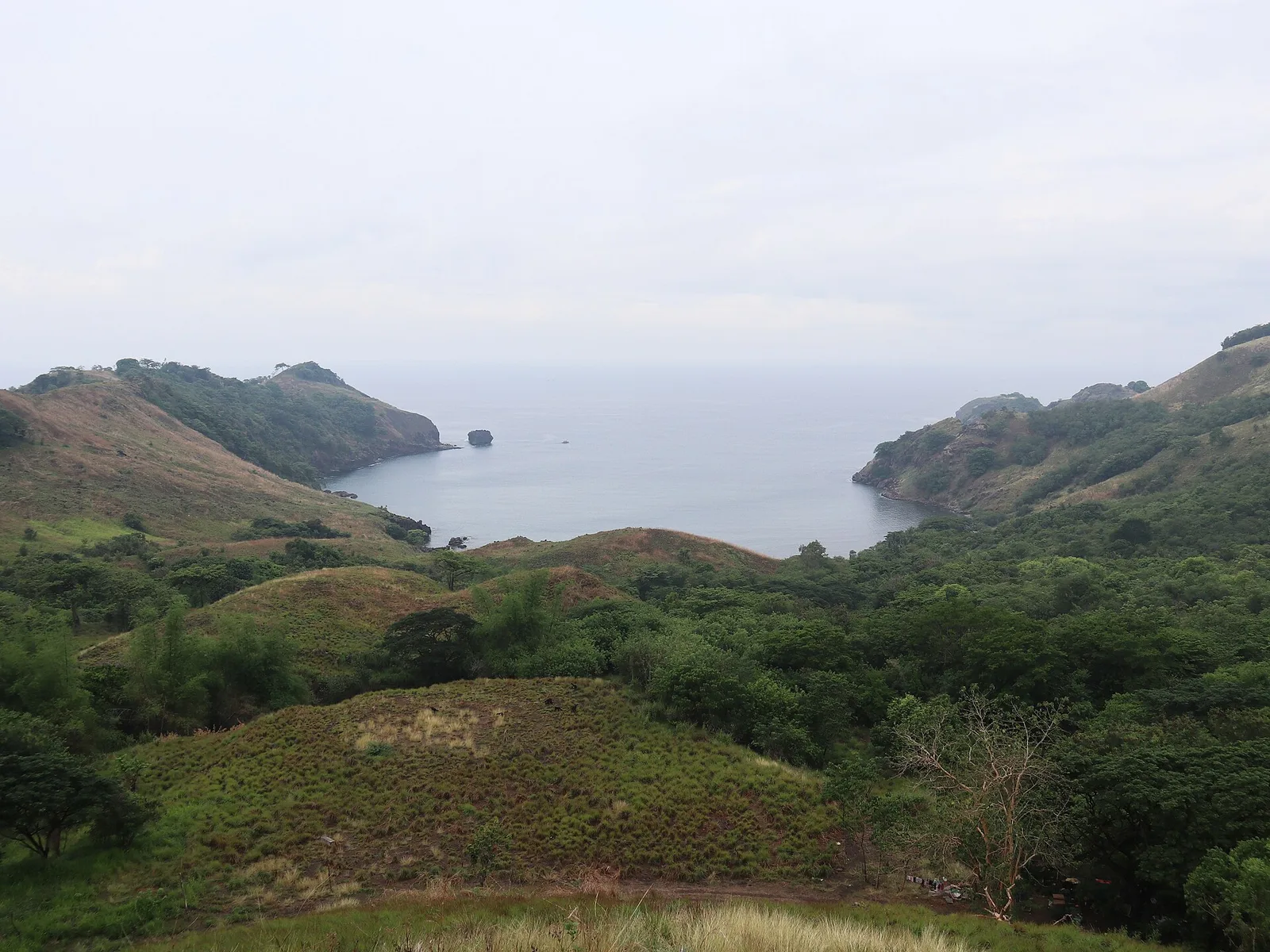
A series of five upland coves aligned beside each other on the boundary between Manila Bay and the South China Sea, offering hiking, cliff jumping, swimming and diving opportunities. The coves mark the southernmost tip of the Bataan peninsula.
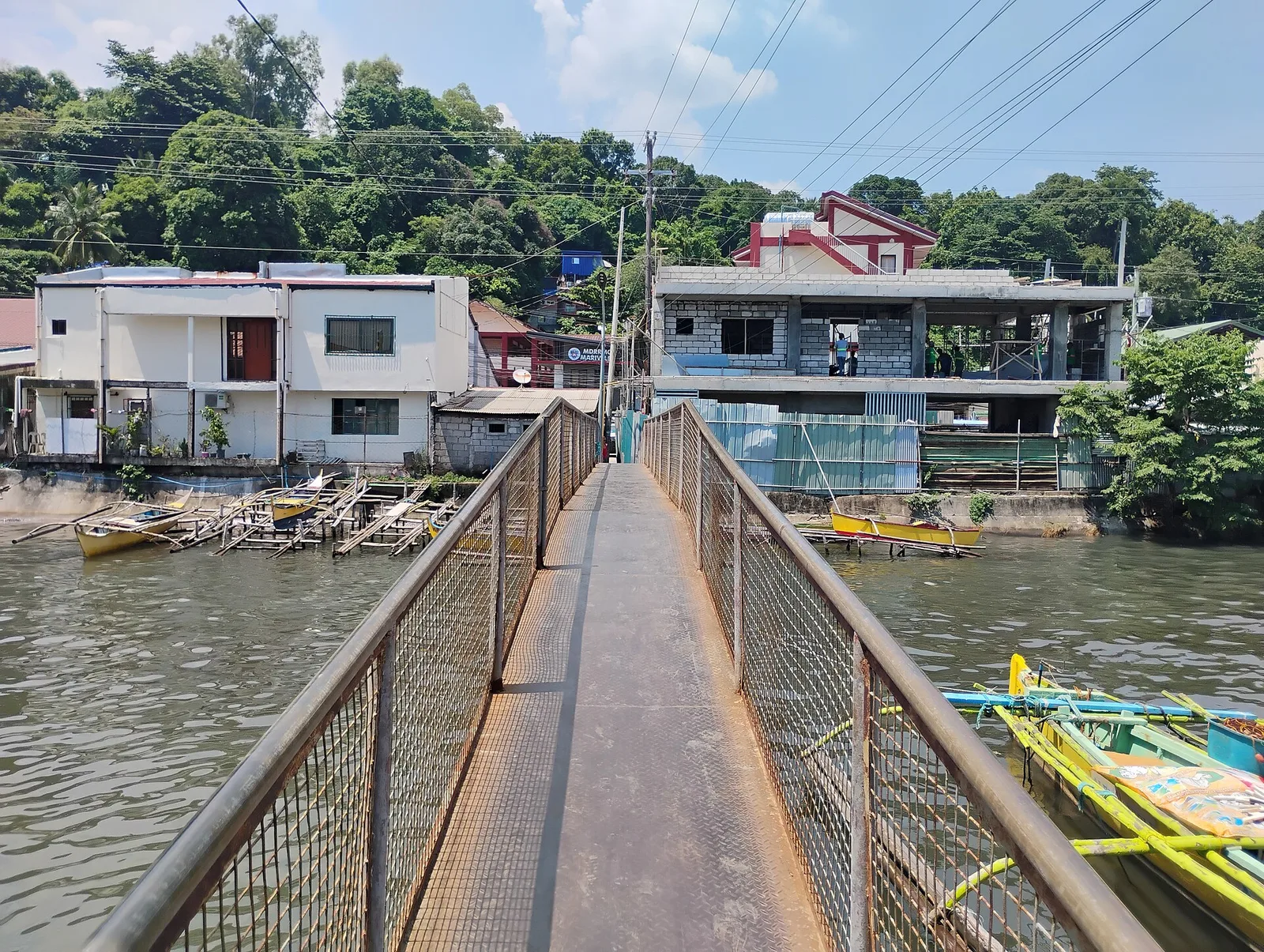
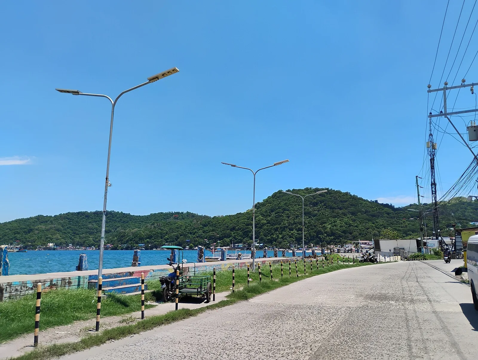
Unlike eastern Bataan, west Bataan's coastline has not been industrialized, enabling sea turtles (pawikan) to lay eggs and hatch on Morong's shores with minimal disturbance. The center secures the eggs from laying until hatching and release, with visitors allowed to …
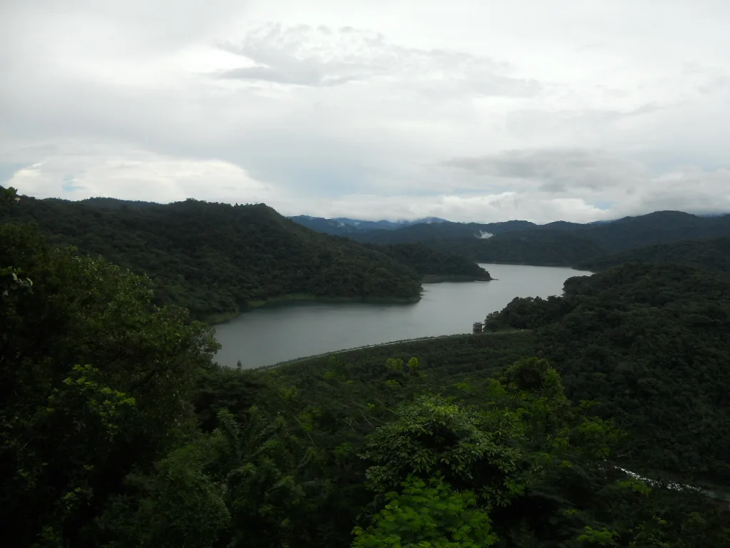
Built in the 1960s, it is the largest of the three dams along the Angat River system and is the highlight of the Angat Forest Watershed. While access to the dam itself is restricted, the complex provides wide views of …
Norzagaray's main Roman Catholic church, which burned down multiple times since the Spanish era but has continuously been rebuilt in its original style.
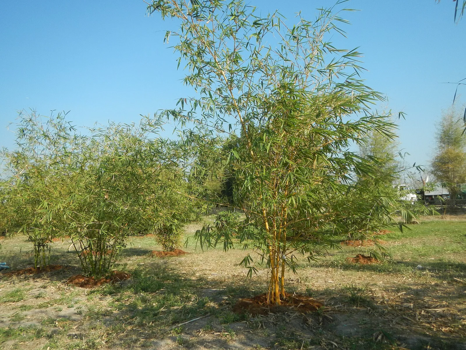
An ecotourism park on the Lubao wetlands featuring an extensive bamboo grove. As of 2026, the complex is closed for renovations.
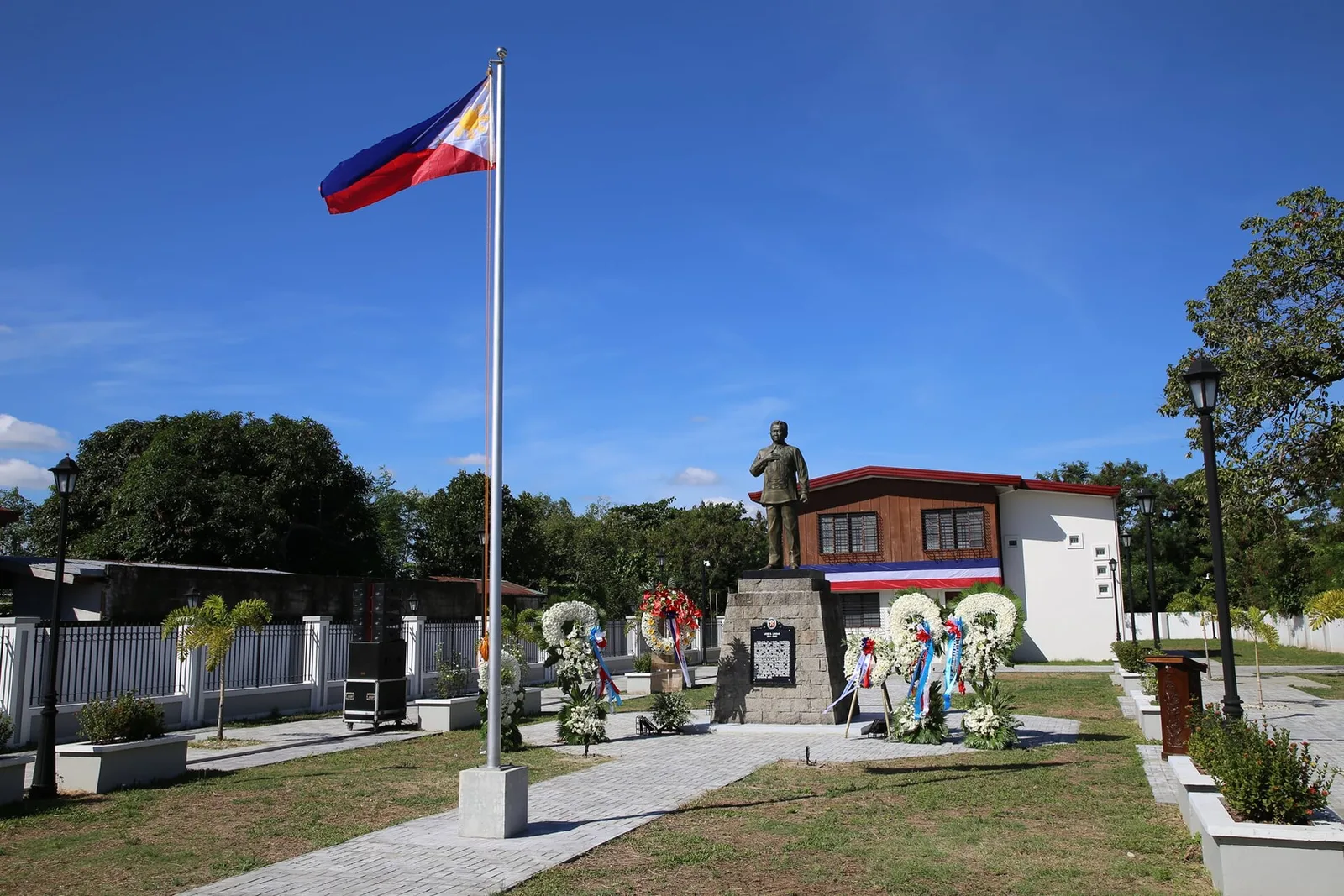
A museum about the life of Jose B. Lingad (pronounced “ling-gad”), a Kapampangan politician who held senior positions in the provincial government, the executive branch and the national legislature before being assassinated in 1980 when he was a political opponent …
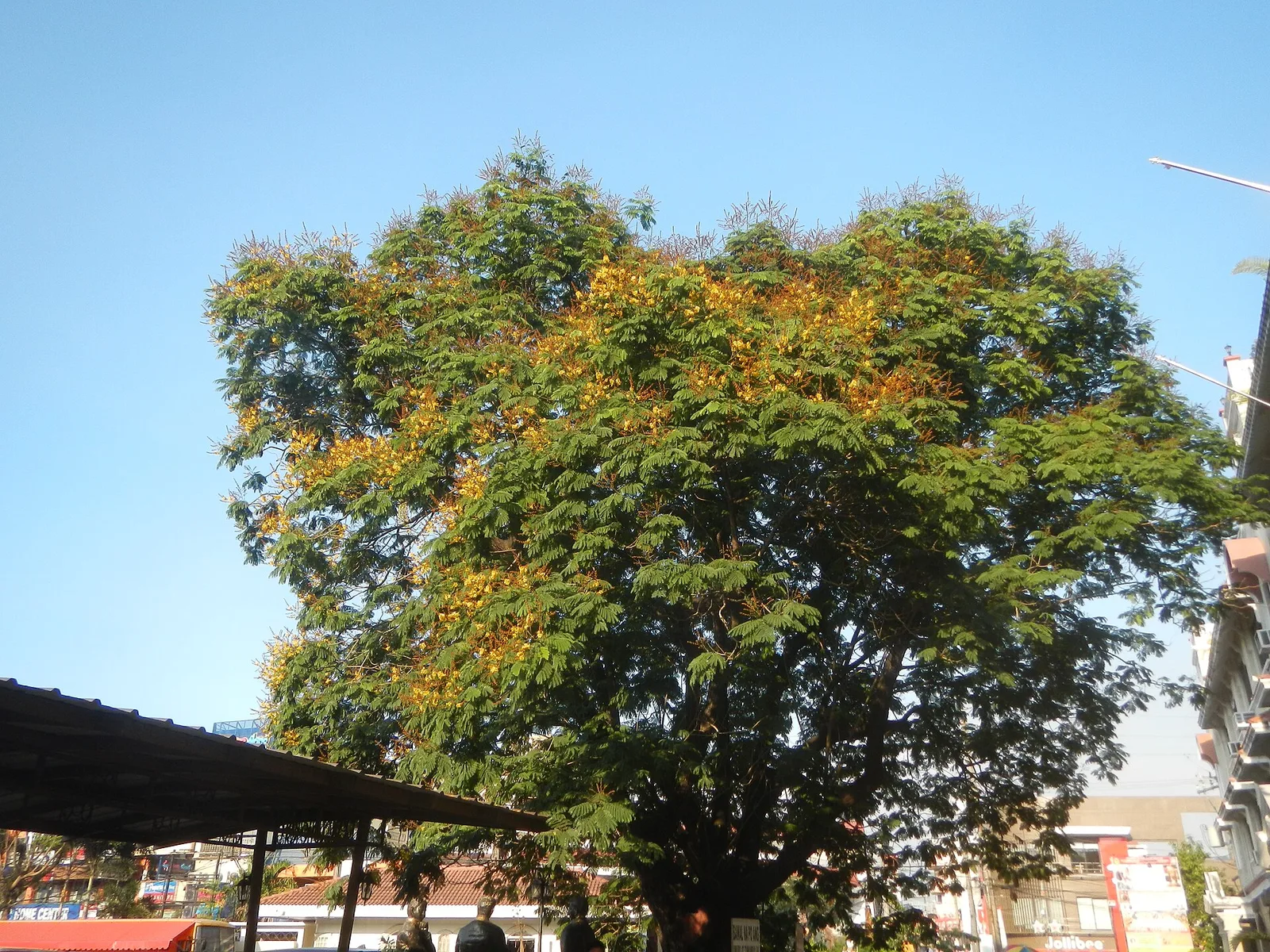
A more than 100-year old Siar tree named after the Filipino word for freedom for having existed during the First Philippine Republic.
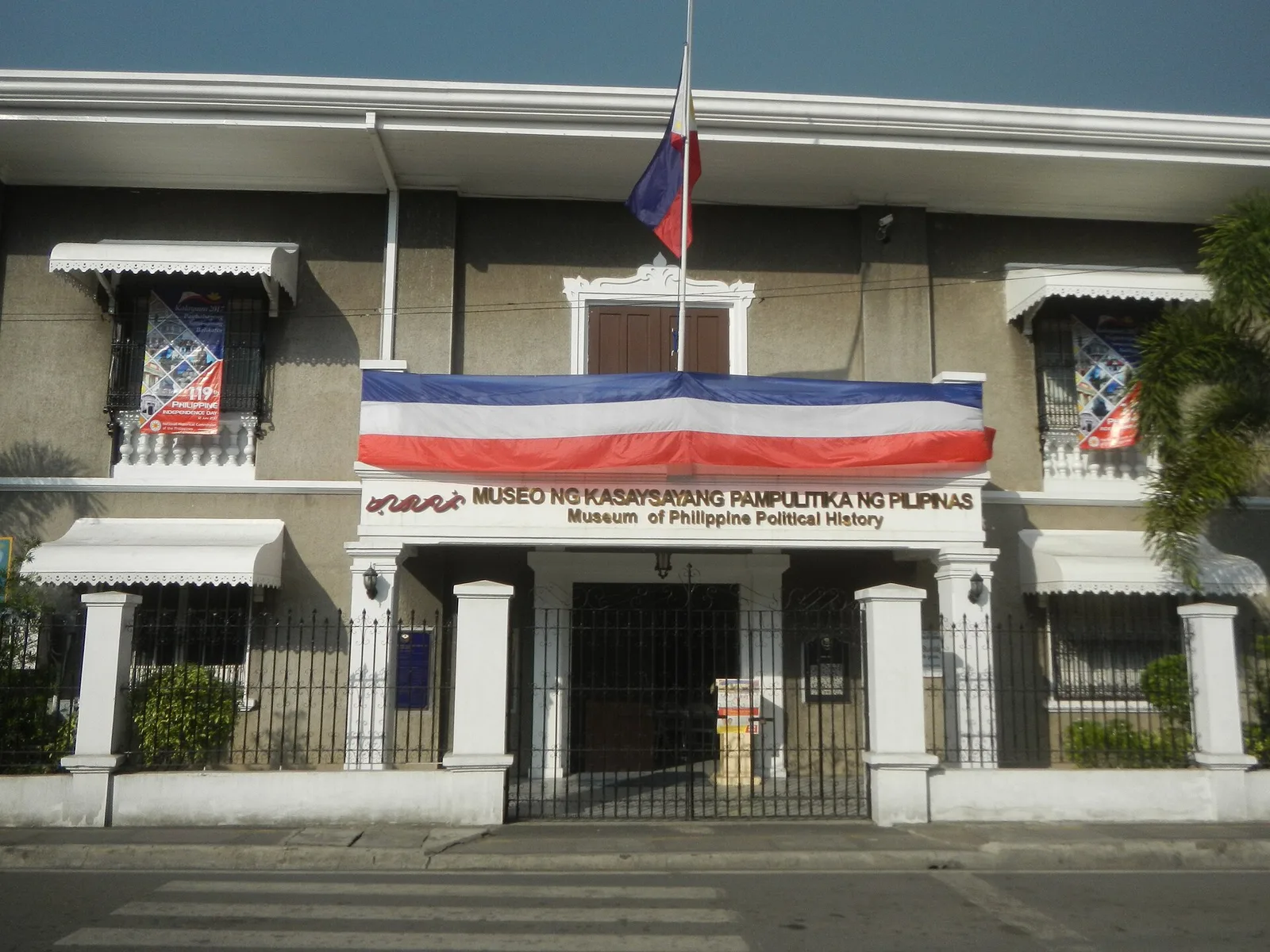
It was built in 1580 as Casa Tribunal and Casa Presidencia of the town gobernadorcillo. It became the Spanish treasury in 1673. Declared National Shrine on October 4, 1965. Now it is the Museum of Philippine Political History.
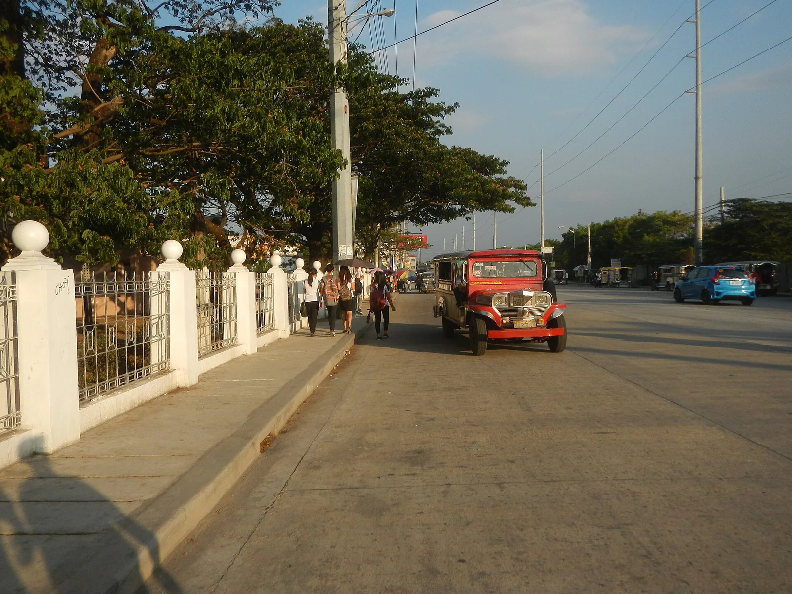
City park with many flagpoles and monuments to local heroes.
Part of the Zambales Cordillera, it provides views of the Central Luzon plains up to Mount Arayat.
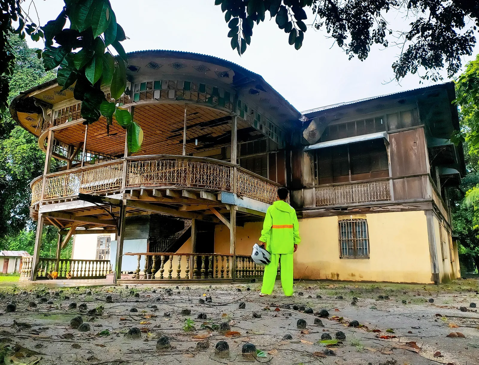
A 19th-century Spanish-era residence with an extensive balcony that used to be the estate house of a sugarcane hacienda. It fell into neglect and was used as a shooting location for domestic horror films before being restored to its original …
A gothic-like Roman Catholic church hosting a venerated Marian image of Our Lady of the Rosary dating from the late 18th century.
A small park with a life-sized statue of Jesus Christ overlooking Guagua's wetlands
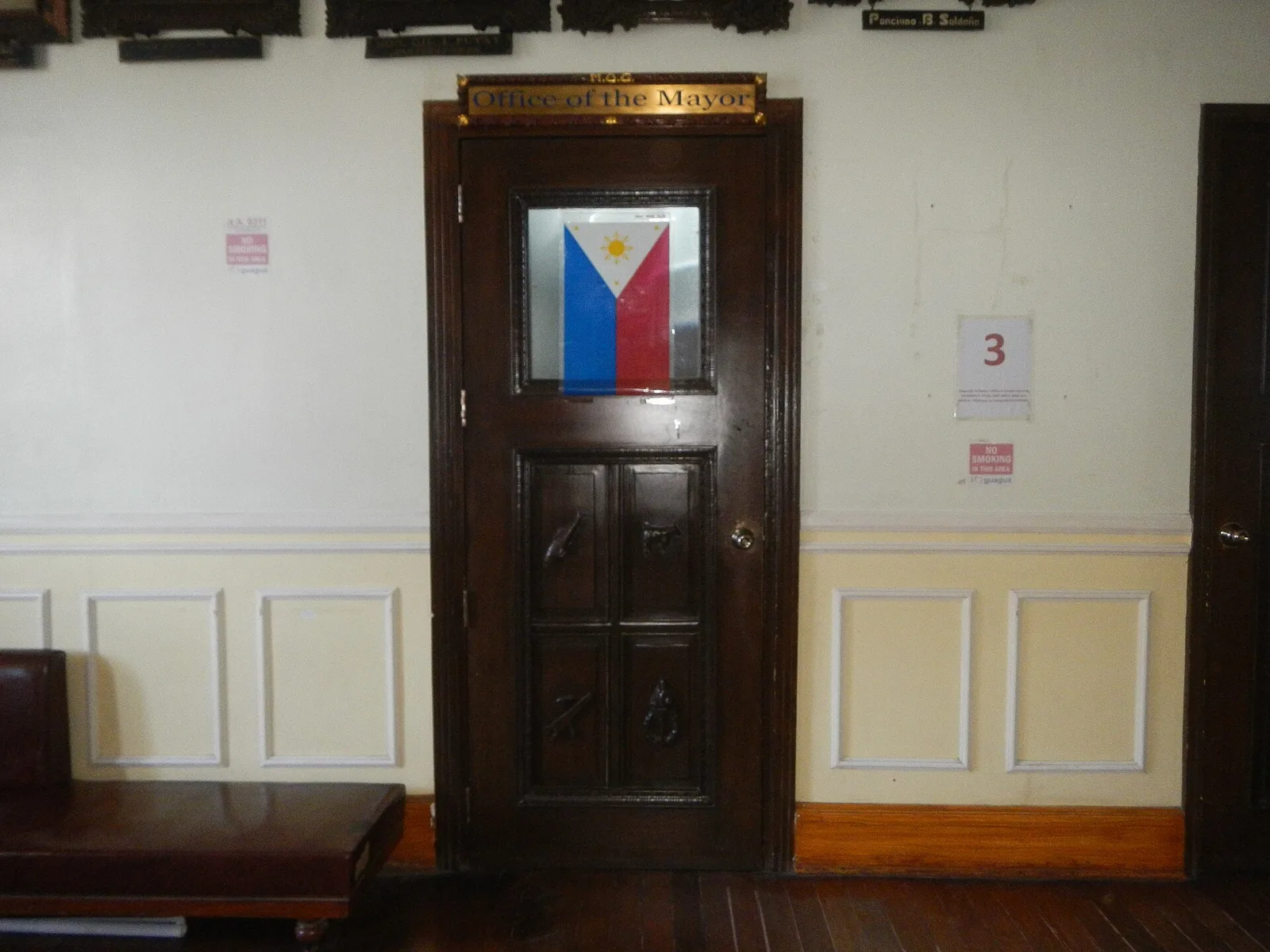
Built in 1937, it is one of the few remaining civic buildings in the Philippines to survive World War II.
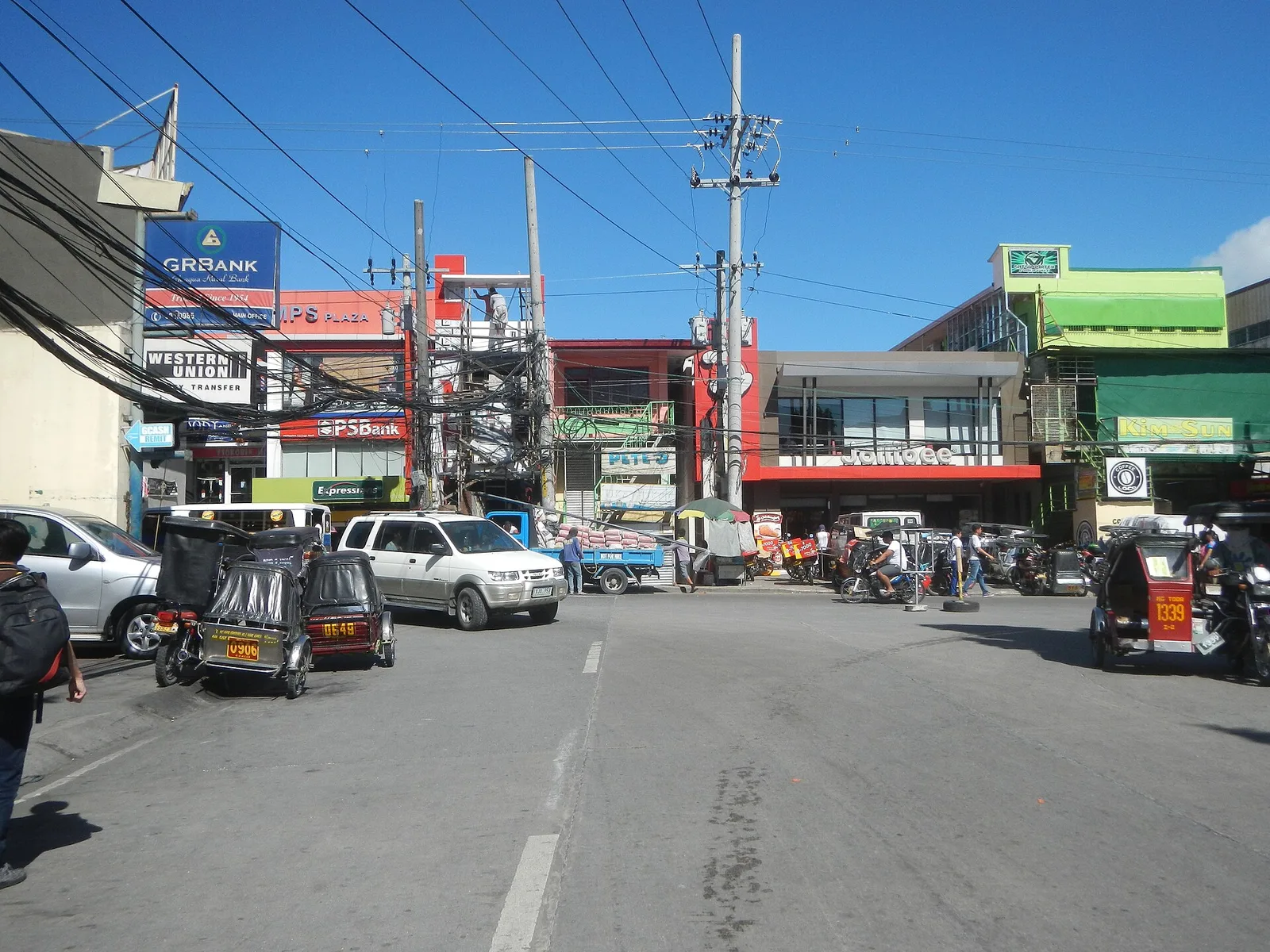
Guagua's main square, featuring civic monuments, a gazebo and trees. A fine spot for recreational activities, finding some shade from the weather or just people-watching. It is also the de facto main transport terminal for most jeepneys in Guagua.
Built in 1929 as the residence of a sugar magnate, Don Alejandro Lopez, it is the first concrete house in Pampanga. The house later fell into a long period of neglect caused in part by family squabbles and lahar flows …
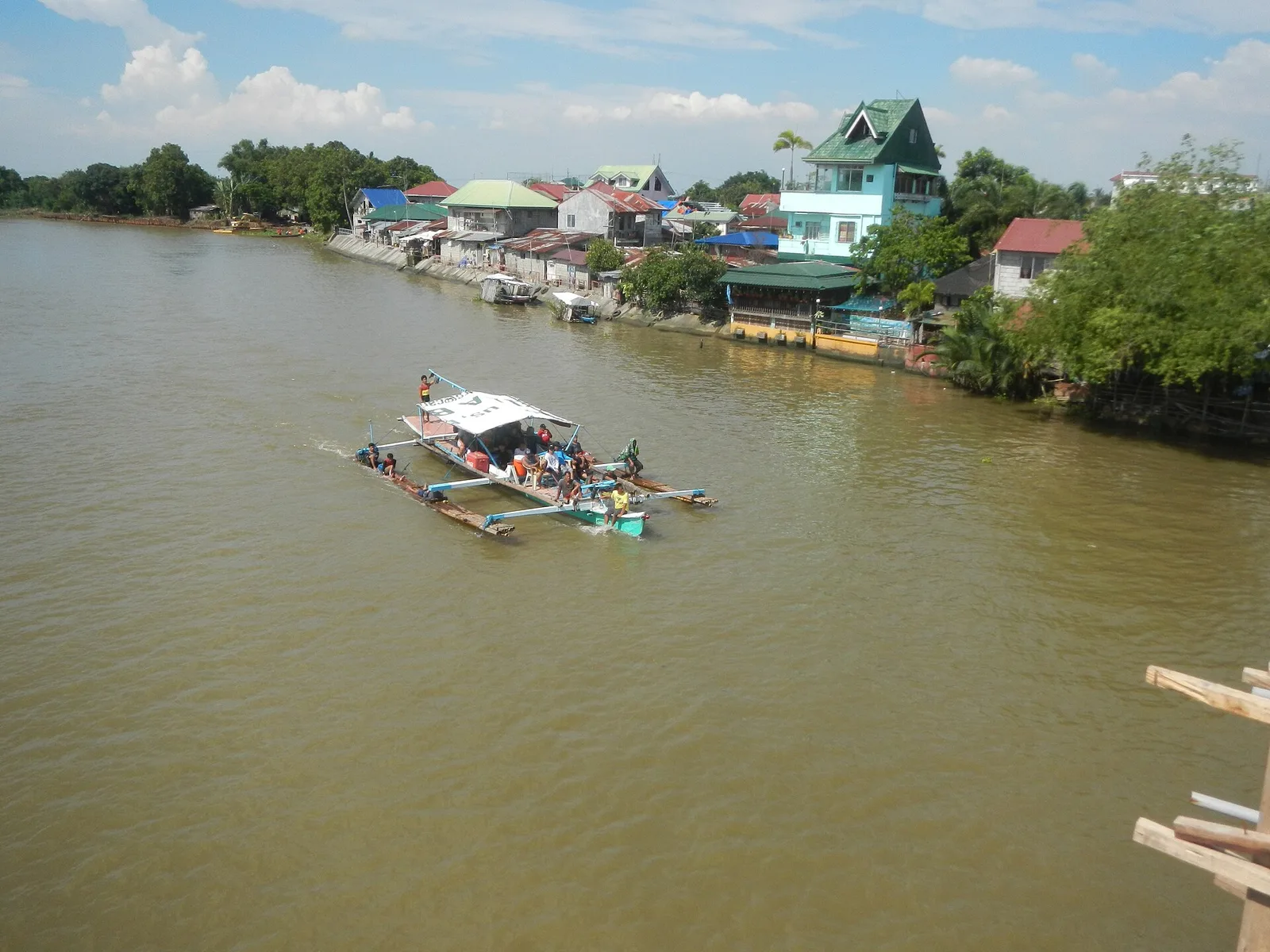
A Spanish-era bridge built over a channel connecting the Pampanga and Angat Rivers. It was the site of a bloody and decisive battle in 1899 that saw Americans defeat Filipino forces during the Philippine-American War and enter Pampanga, forcing the …
A secluded lake created after the 1991 eruption of Mount Pinatubo. It became a fishing ground for the indigenous Aeta people.