Mountain
Mount Capistrano
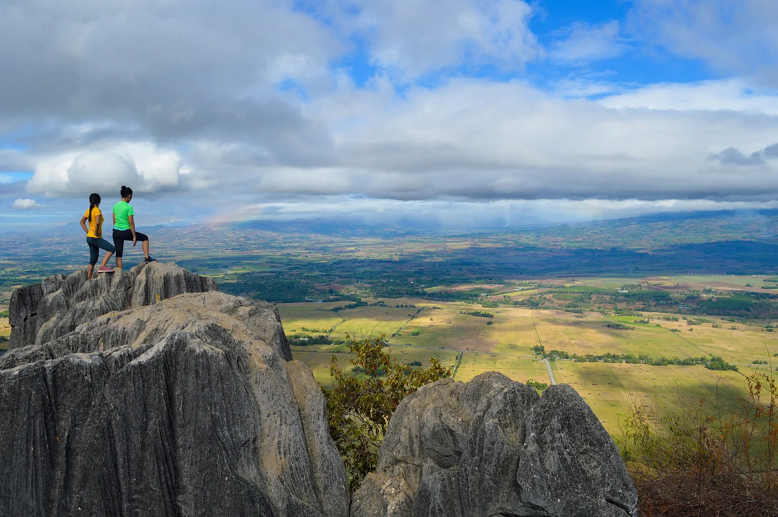

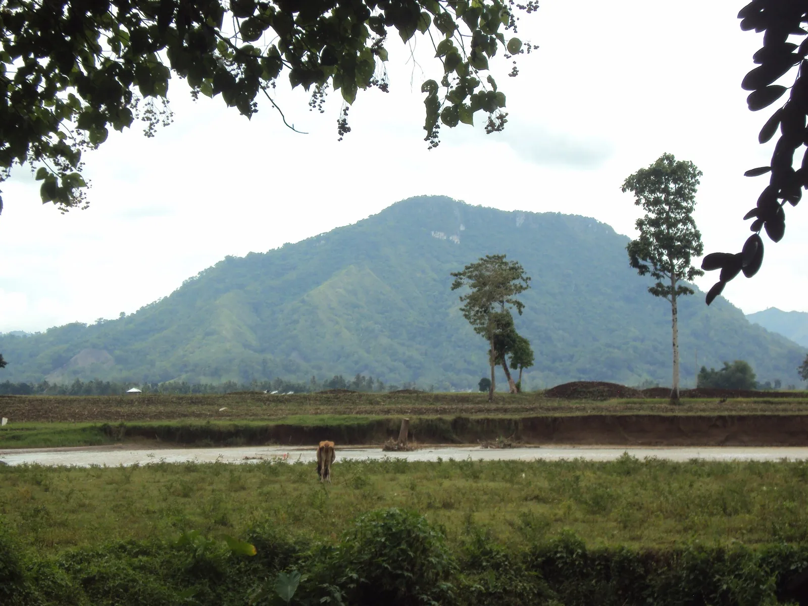

A mountain of rock formations and caves, 18 kilometres south of the city proper in Barangay Managok. It is known as an evacuation area in the Second World War.
Trekkers and climbers go up for the view from the top, which is rough and sharp underfoot but looks across the nearby mountains and over acres of rice and cornfields.
- Where
- Managok
- Town
- Malaybalay City
Written by an editor · 22 Sep 2026 · source: Wikipedia, Malaybalay