Mount Talinis
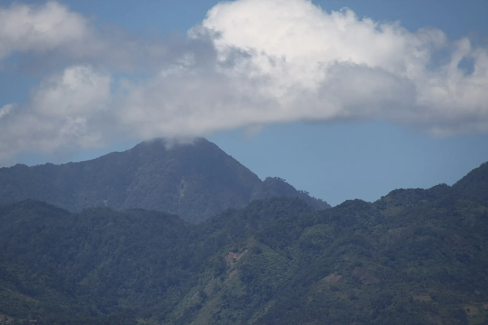

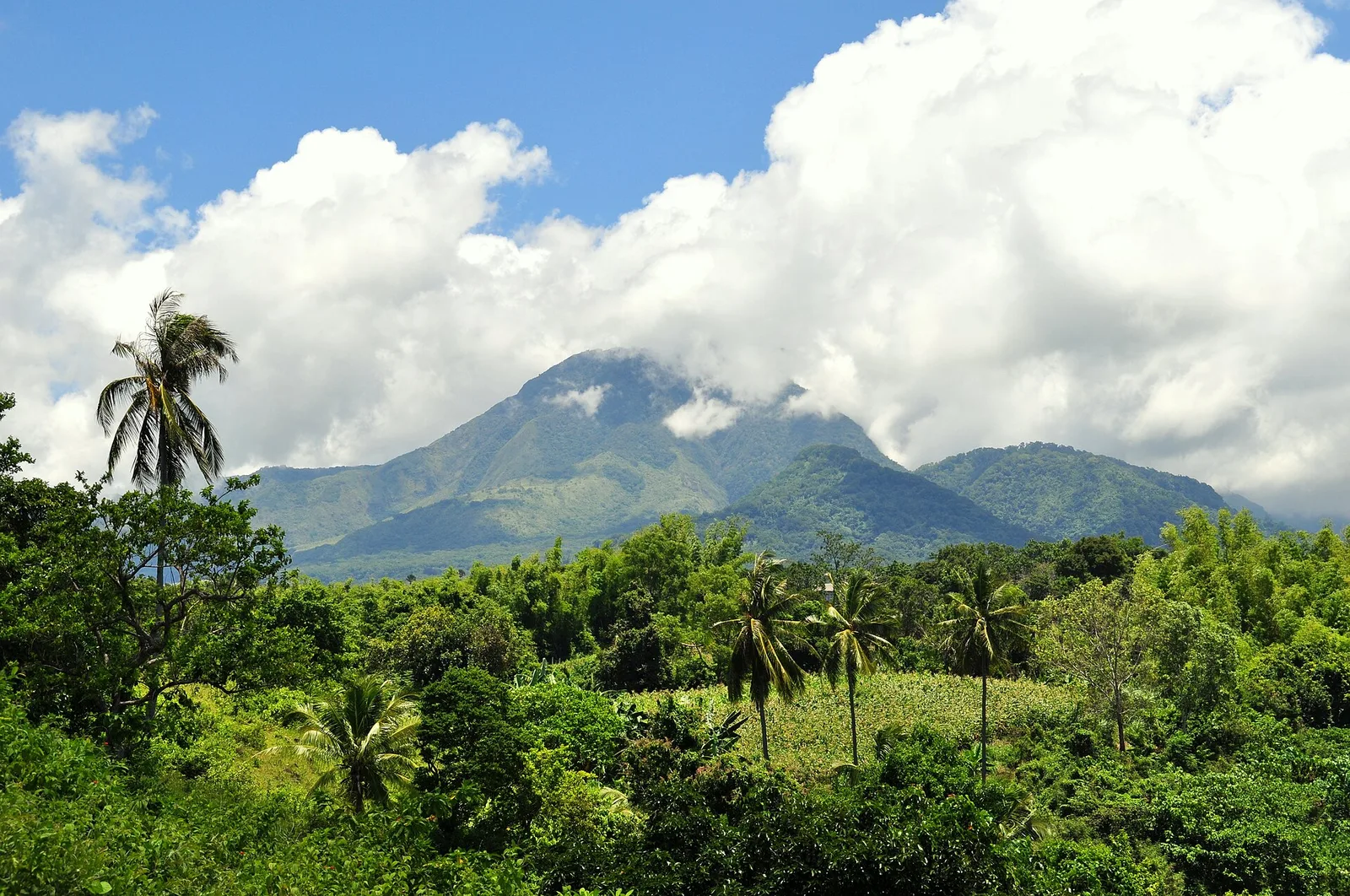

A complex volcano of 1,862 metres, the second highest mountain on Negros Island after Mount Kanlaon. It is the tallest peak of the range called the Cuernos de Negros, the Horns of Negros.
The mountain stands 9 kilometres southwest of the town of Valencia and 20 kilometres from Dumaguete, so it is the closest big climb to the provincial capital. Trails start at Bidjao in Dauin and at Apolong in Valencia. Crater lakes lie near the top: climbers camp at Lake Nailig and walk the last 30 minutes to a summit that is forested and usually in fog. The Apolong trail passes the Kaipohan sulfur vents, a patch of dead trees and bleached rock. Within the same volcanic complex, the Balinsasayao Twin Lakes Natural Park holds two crater lakes split by a narrow ridge. Rare animals in the forest include the Philippine spotted deer, the Visayan warty pig and the Negros bleeding-heart.
- Town
- Negros Oriental
Written by an editor · 22 Sep 2026 · source: Wikipedia, Mount Talinis