Nabuclod Mountains
Part of the Zambales Cordillera, it provides views of the Central Luzon plains up to Mount Arayat.
Province in Central Luzon, Luzon · 21 towns and cities
Part of the Zambales Cordillera, it provides views of the Central Luzon plains up to Mount Arayat.
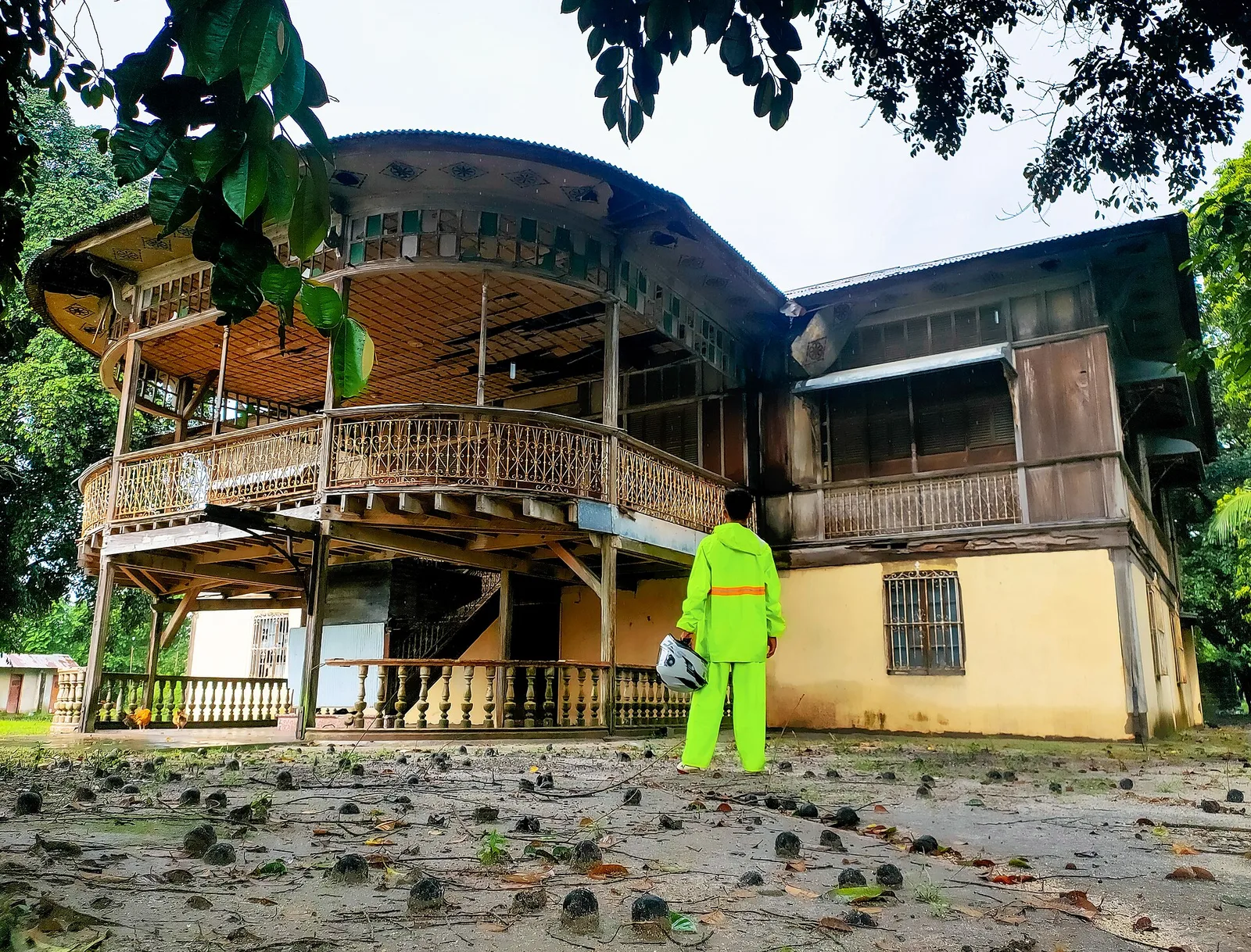
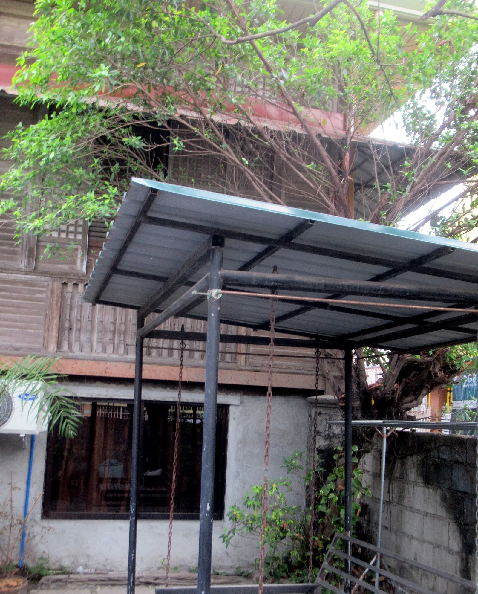
A 19th-century Spanish-era residence with an extensive balcony that used to be the estate house of a sugarcane hacienda. It fell into neglect and was used as a shooting location for domestic horror films before being restored to its original …
A small park with a life-sized statue of Jesus Christ overlooking Guagua's wetlands
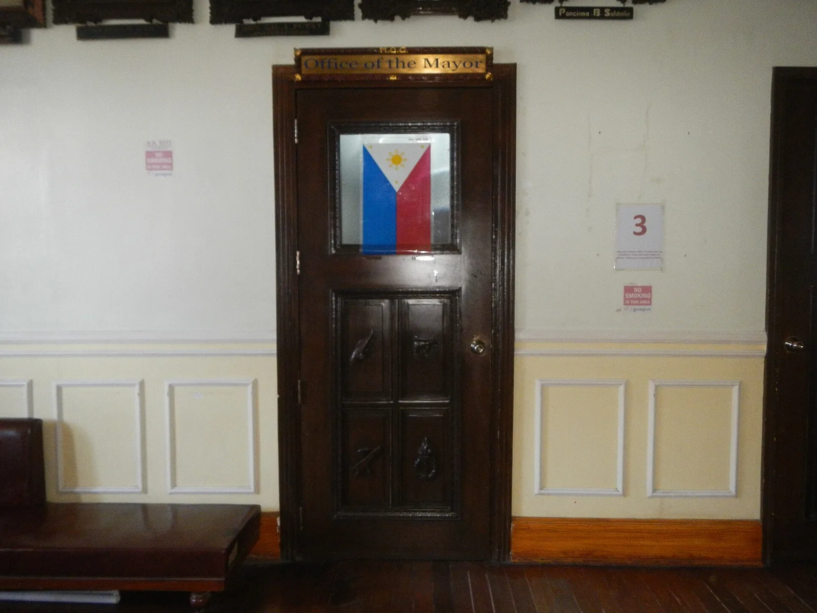
Built in 1937, it is one of the few remaining civic buildings in the Philippines to survive World War II.
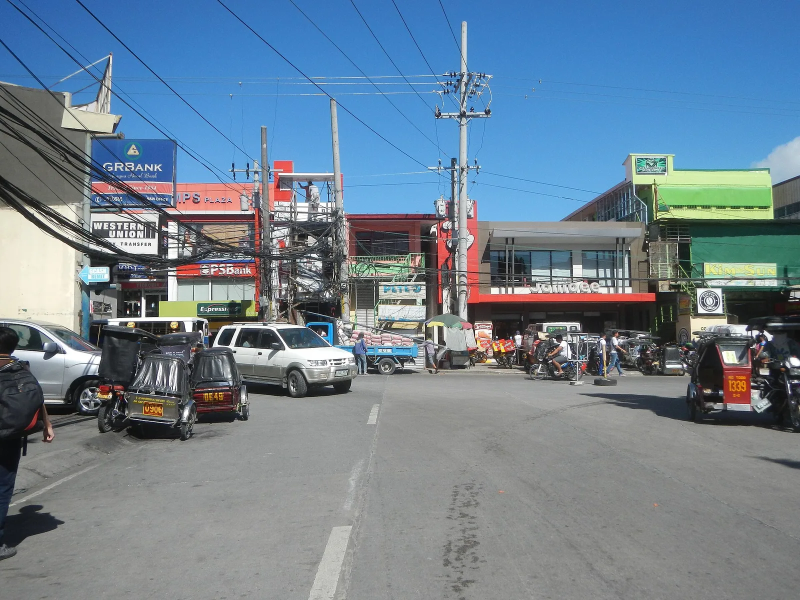
Guagua's main square, featuring civic monuments, a gazebo and trees. A fine spot for recreational activities, finding some shade from the weather or just people-watching. It is also the de facto main transport terminal for most jeepneys in Guagua.
Built in 1929 as the residence of a sugar magnate, Don Alejandro Lopez, it is the first concrete house in Pampanga. The house later fell into a long period of neglect caused in part by family squabbles and lahar flows …
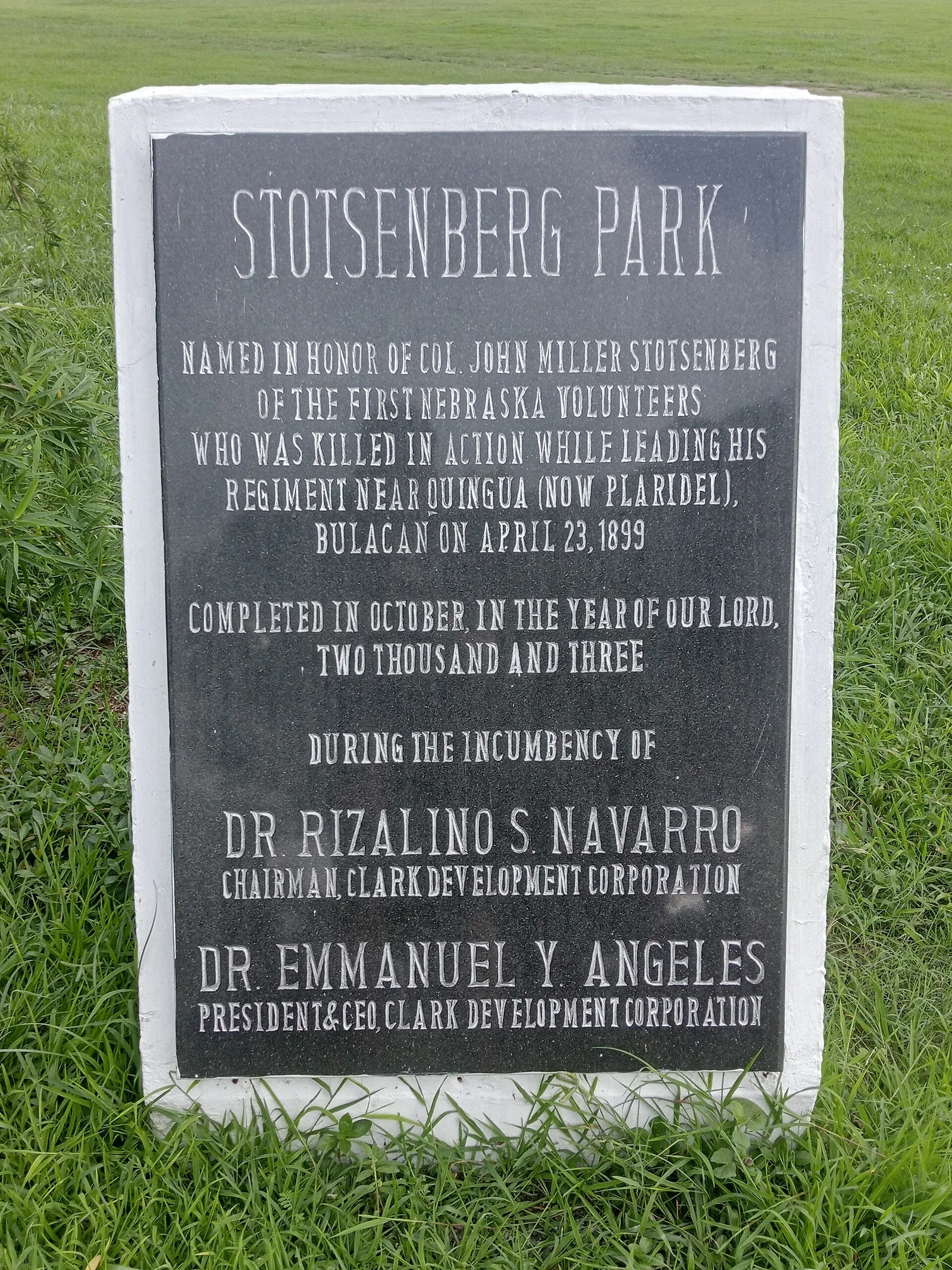
This urban park in Mabalacat City takes its name from the former Fort Stotsenburg. The fort's own barangay joined the city in 1948, adding to a place whose Kapampangan name comes from the balakat tree that once grew here in …
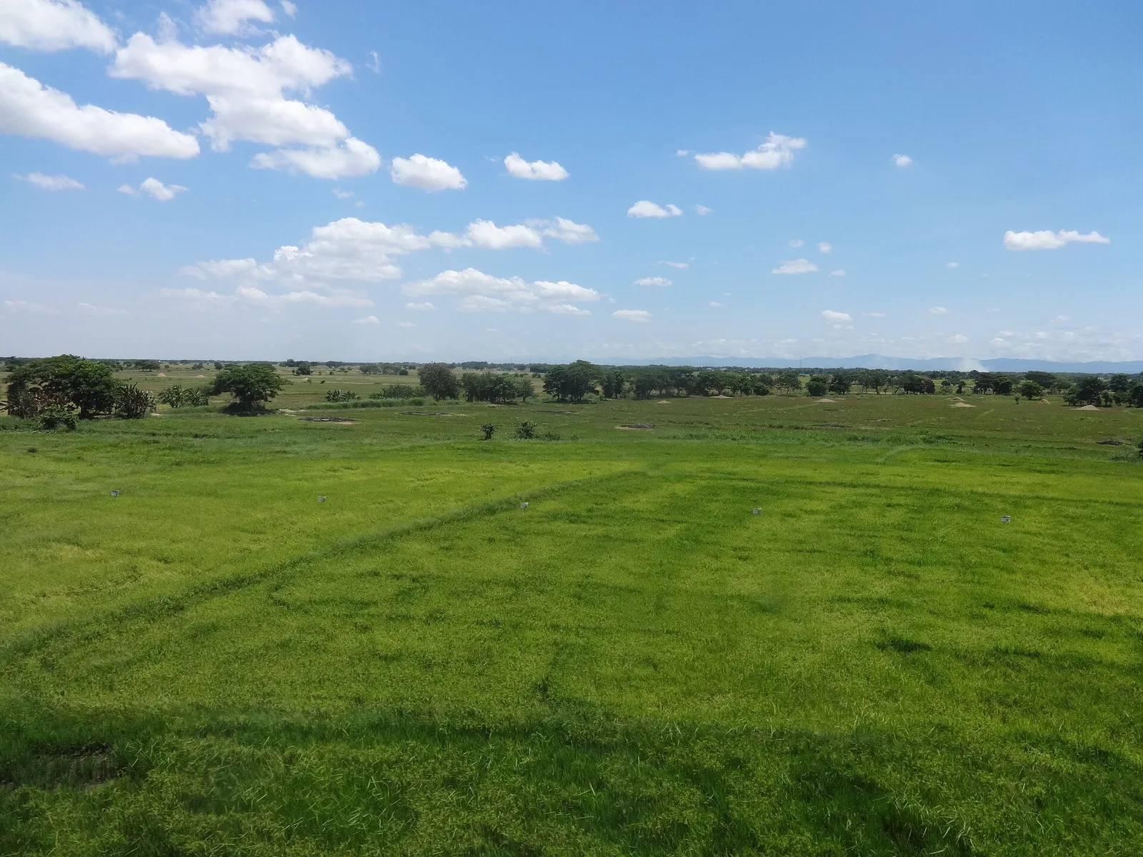
A wetland of about 32,000 hectares of freshwater ponds, marshes and seasonally flooded grassland, 60 kilometres northeast of Manila. The whole area goes under water in the wet season, and it works as a flood basin for five smaller rivers …
A 3-day plan built from the See, Do and Eat listings in Wikivoyage's Magalang guide. The stops are in an order that keeps each day close together. Check the hours …
A 2-day plan built from the See, Do and Eat listings in Wikivoyage's Floridablanca guide. The stops are in an order that keeps each day close together. Check the hours …
A 2-day plan built from the See, Do and Eat listings in Wikivoyage's Arayat guide. The stops are in an order that keeps each day close together. Check the hours …
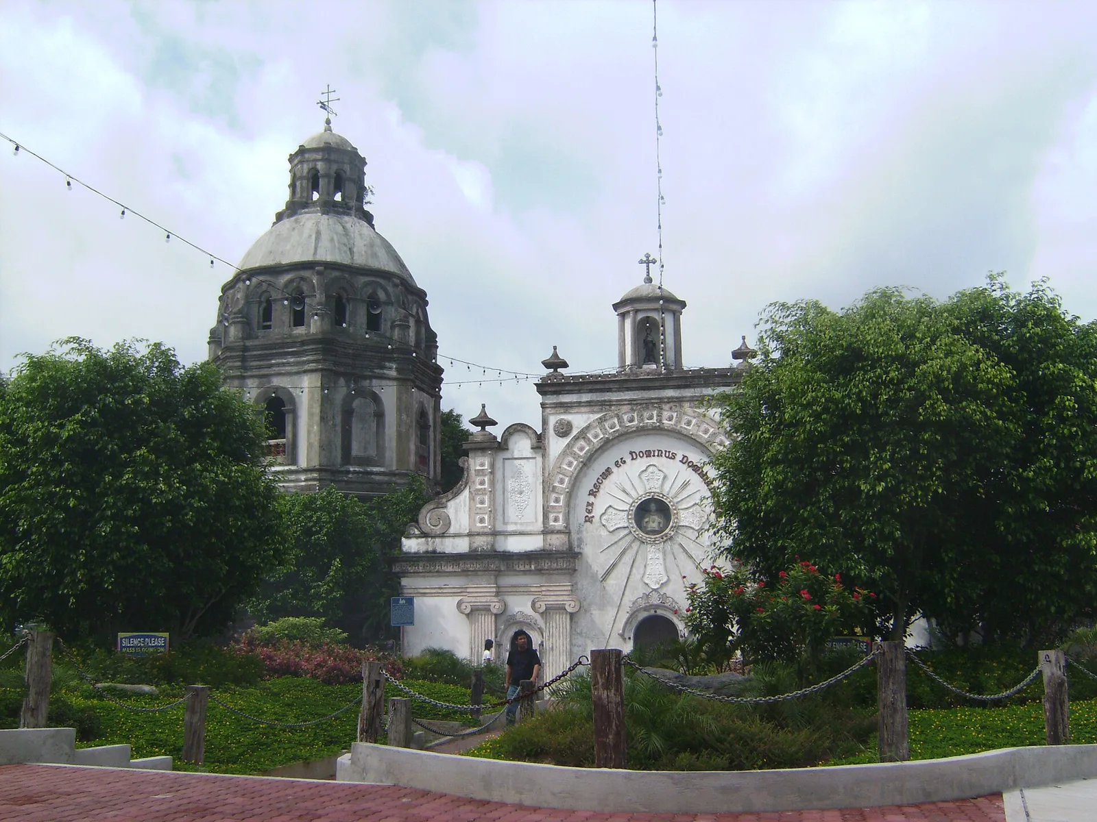
A 1-day plan built from the See, Do and Eat listings in Wikivoyage's Bacolor guide. The stops are in an order that keeps each day close together. Check the hours …
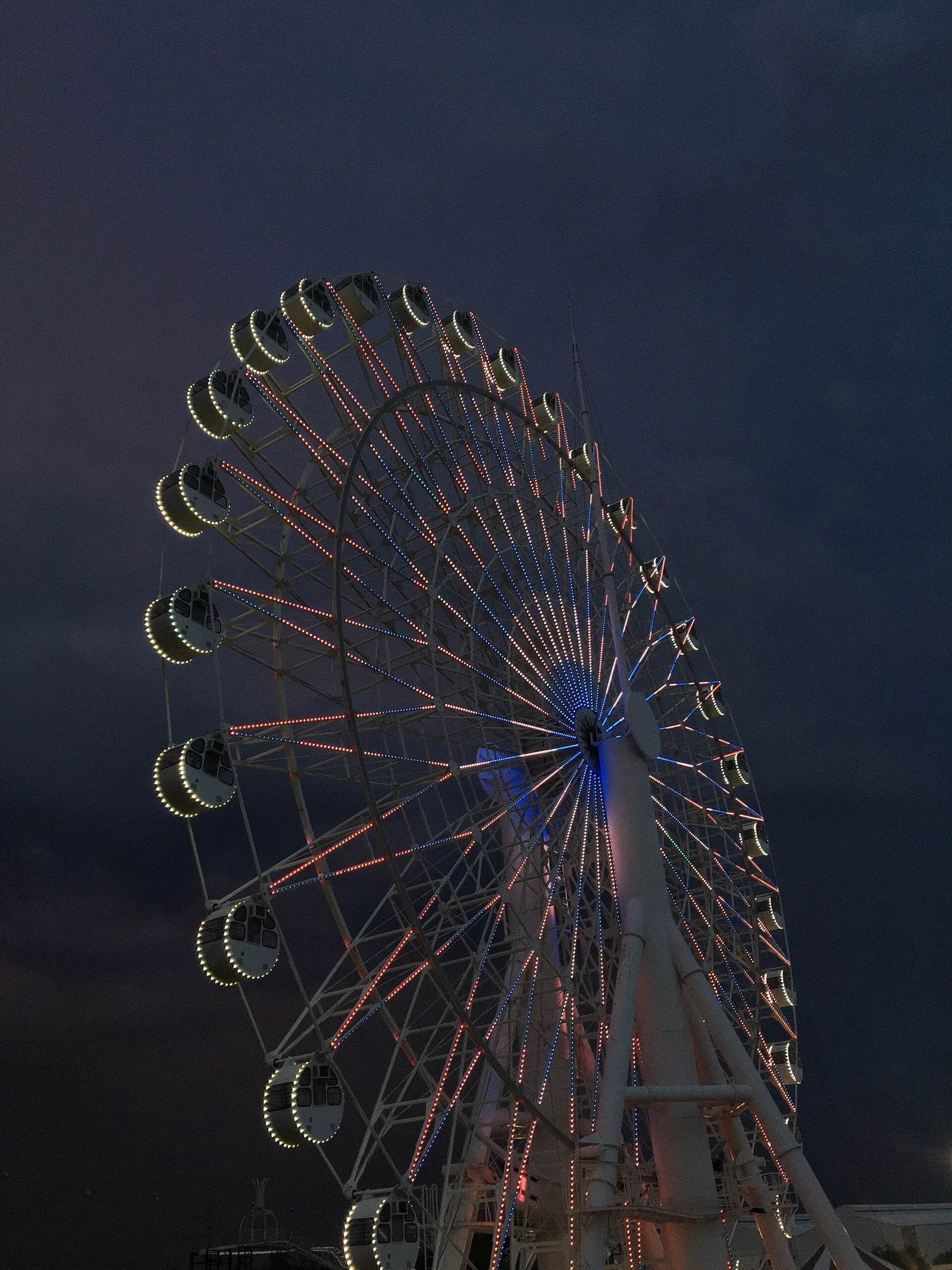
A Ferris wheel 65 metres high, the tallest in the country, and 50 metres across. It stands at Sky Ranch Pampanga, beside SM City Pampanga.
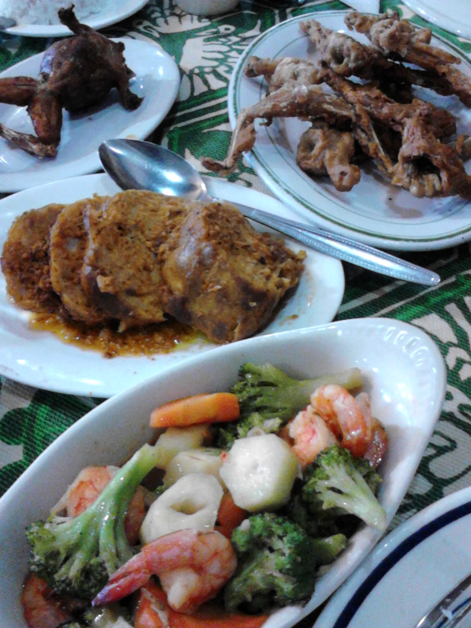
One of the oldest restaurants in Pampanga, on MacArthur Highway in Barangay Del Pilar. The Jorolan family built it in 1946. It serves the Kapampangan dishes that made its name: betute (stuffed frogs), kamaru (crickets) and pindang damulag (carabao meat). …
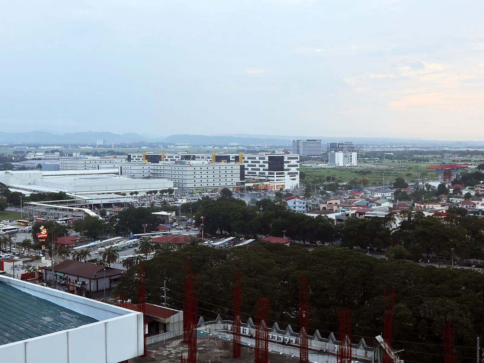
A large freeport of hotels, casinos, golf courses and resorts, most of it inside Mabalacat and the rest in neighbouring Angeles, where the main gate is. It was Clark Air Base until 1991, when the United States Air Force left. …
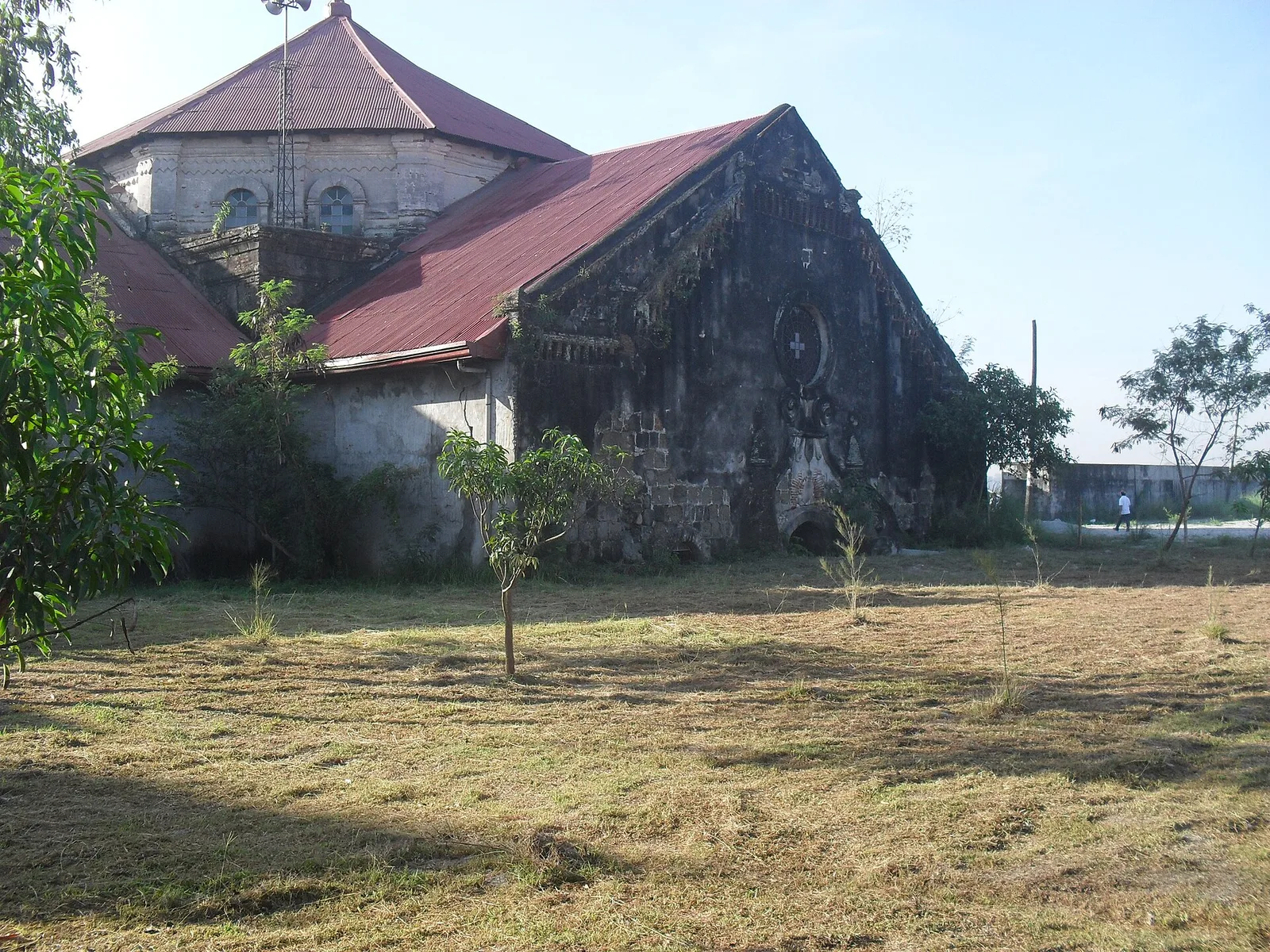
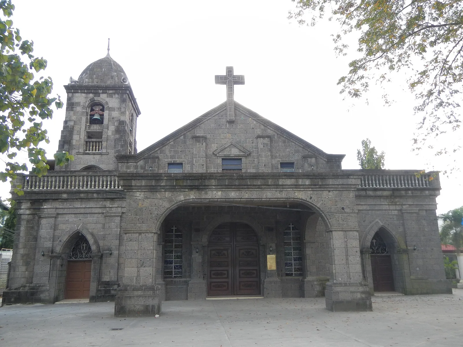
A church that stands half buried in volcanic mud. On September 3, 1995 lahar from the 1991 eruption of Mount Pinatubo filled the building to half of its 12 metres of height, and more than 50,000 people of the town …
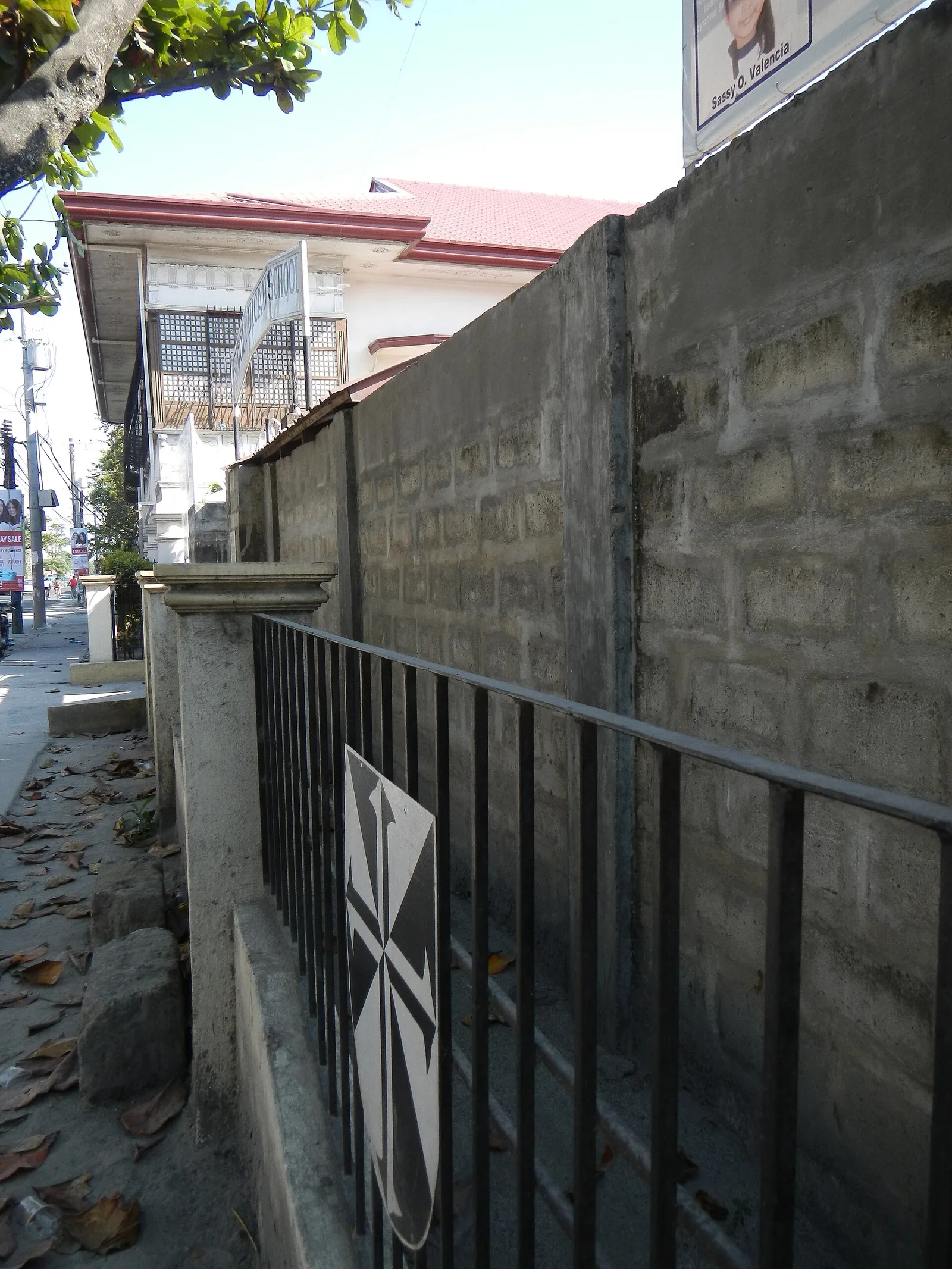
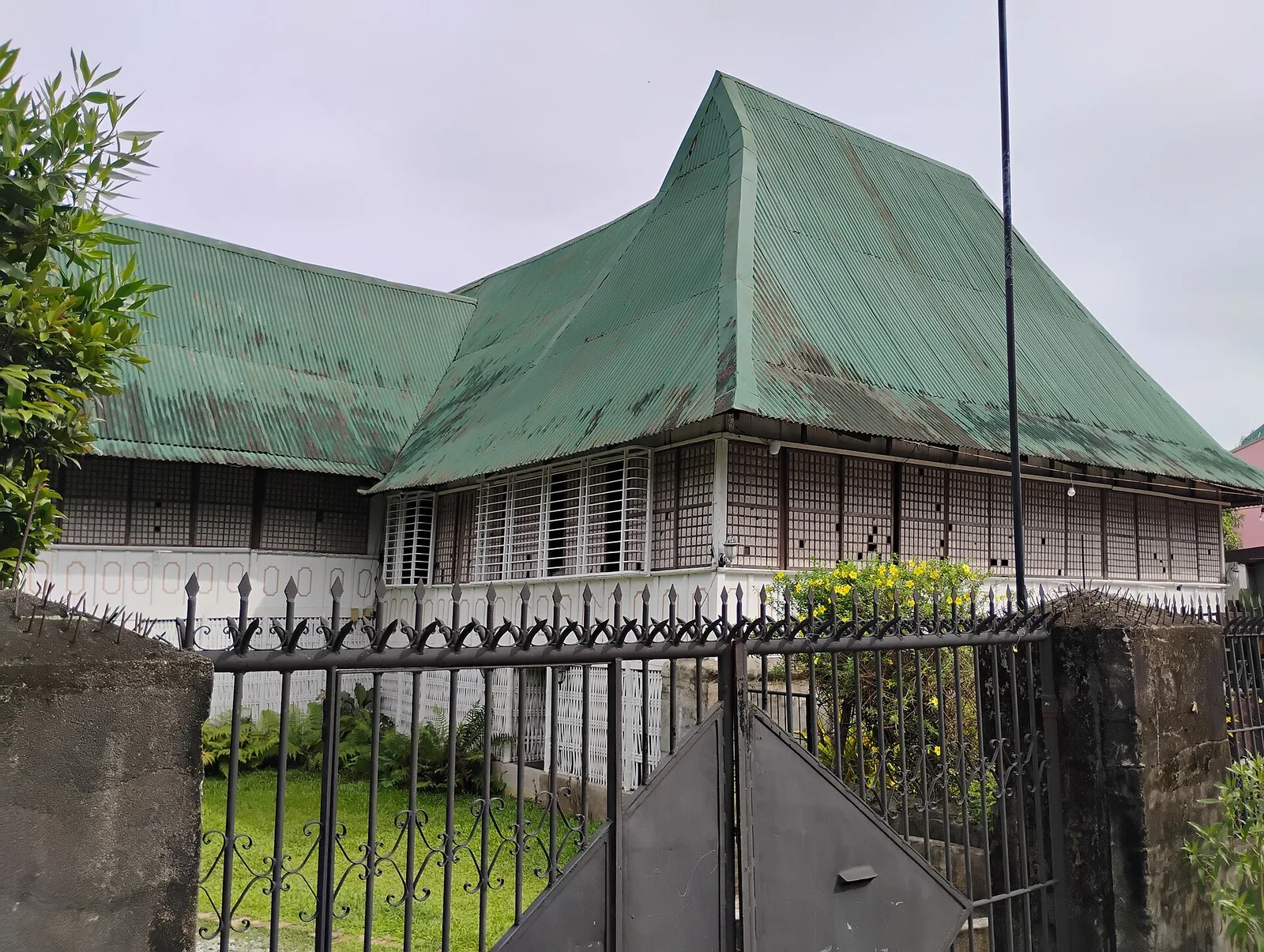
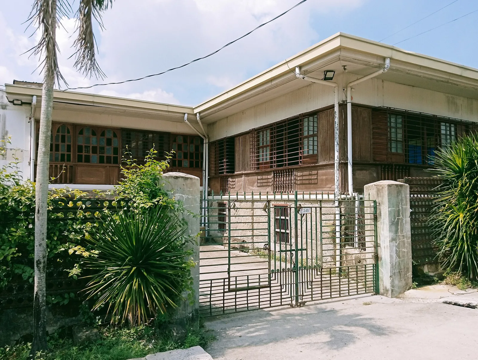
The well-preserved ancestral residence of one of Santa Rita's most prominent families, built in 1841. The owners offer pre-arranged heritage lunches/dinners and tours with a minimum of 10 people needed for a visit.
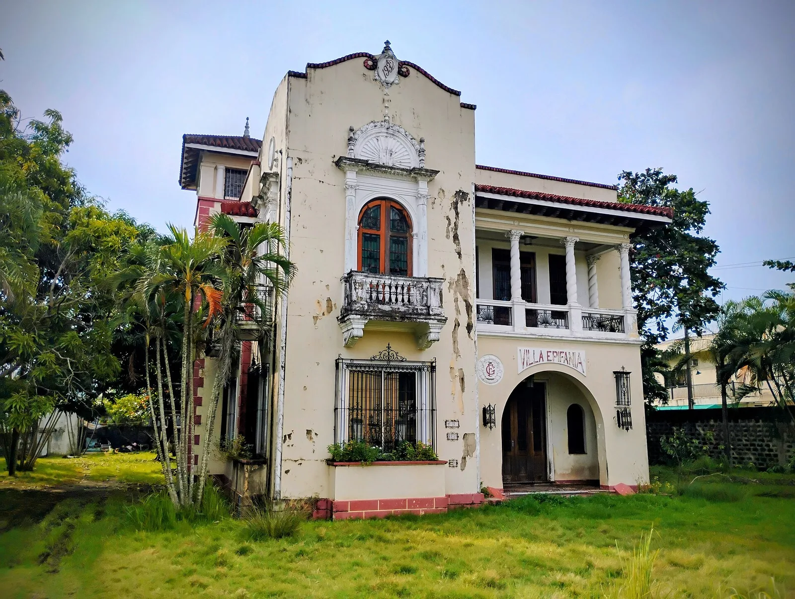
A 1930s Art Deco residence that is the first concrete structure in Santa Rita. It is a common location shoot for films, TV series and ghost-hunting expeditions.
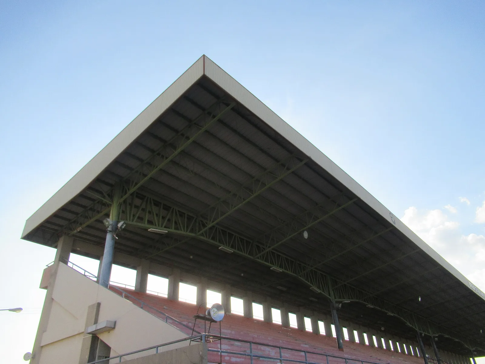
A giant arena with a seating capacity of 30,000 people, used for conventions, concerts, sports, beauty pageants
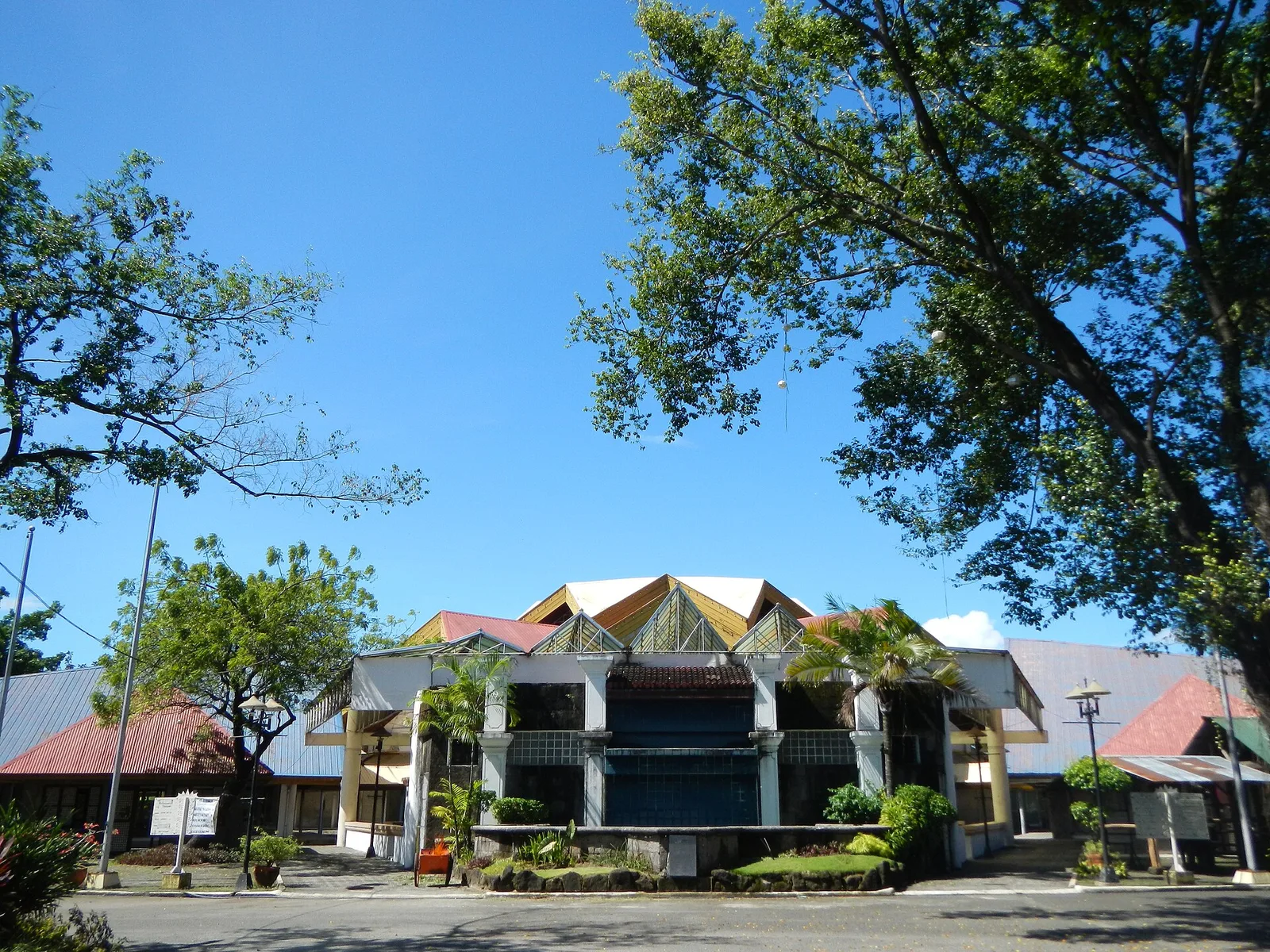
A gorge named in part because it resembles the setting from the film Avatar (the one with blue aliens).
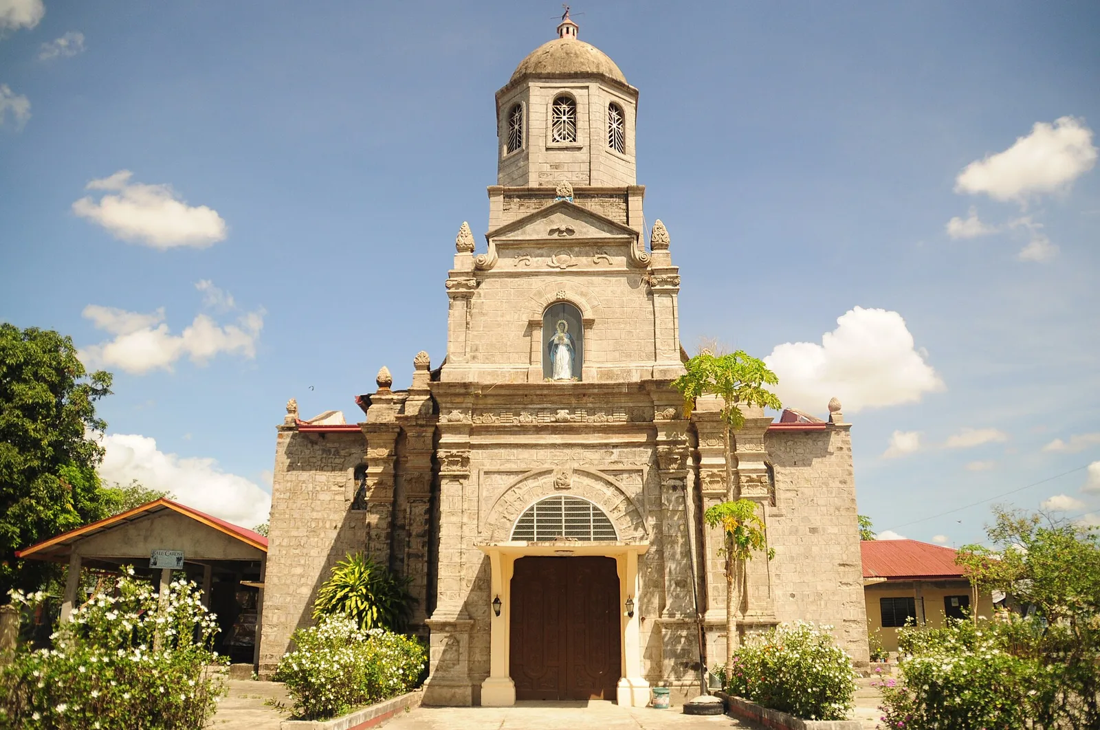
A Spanish-era Roman Catholic barangay chapel, built in 1838 and repaired following damage caused by the 2019 earthquake.
A golf course set in an eponymous tourism and luxury residential estate. The complex also has its own airfield, and hosts the annual Lubao International Balloon and Music Festival.
Meaning "Holy Mountain, Way of the Cross" in Kapampangan, it is a religious complex at the foot of Mount Arayat that attracts pilgrims during the Lenten season for its 14 Stations of the Cross laid out across a trail that …
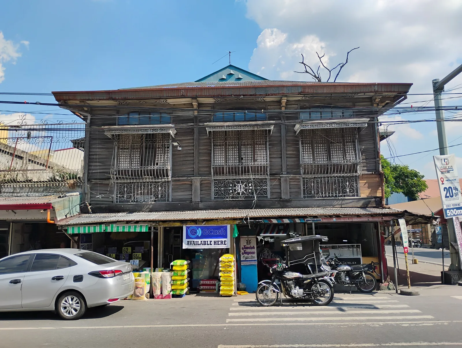
A colonial-era residence whose ground floor has been leased out to commercial establishments.
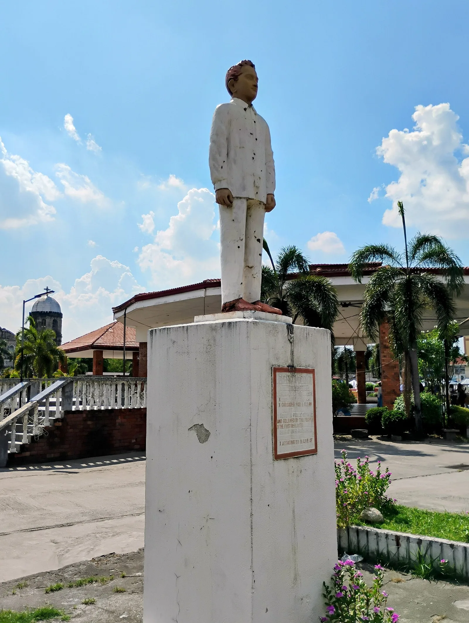
One of the better-designed and maintained town squares in the Philippines, featuring a large gazebo, civic monuments to local heroes and other noteworthy achievements, and a statue of a carabao.
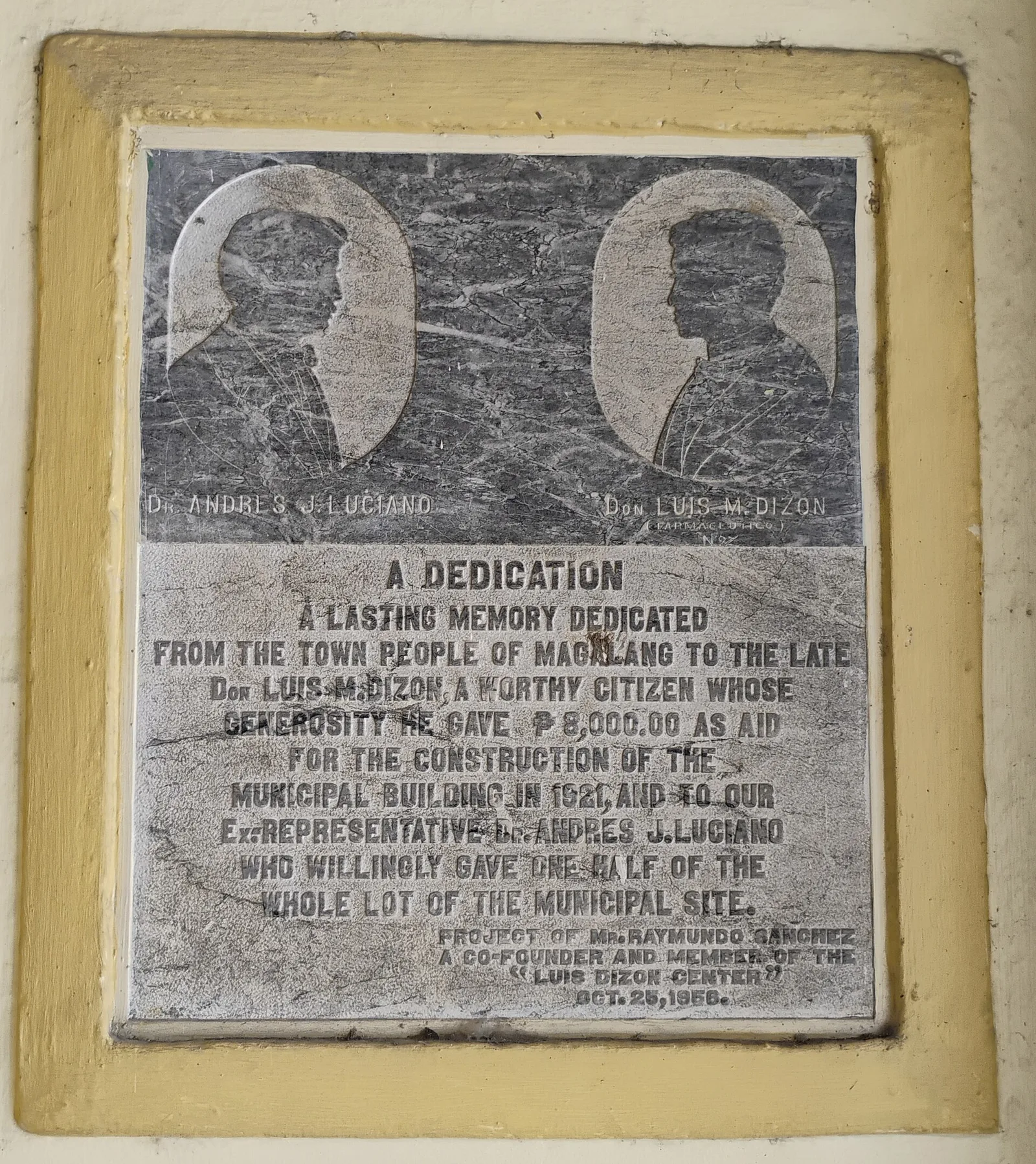
A colonial-era residence inside a secluded compound that was also used as a filming location for some domestic period films.
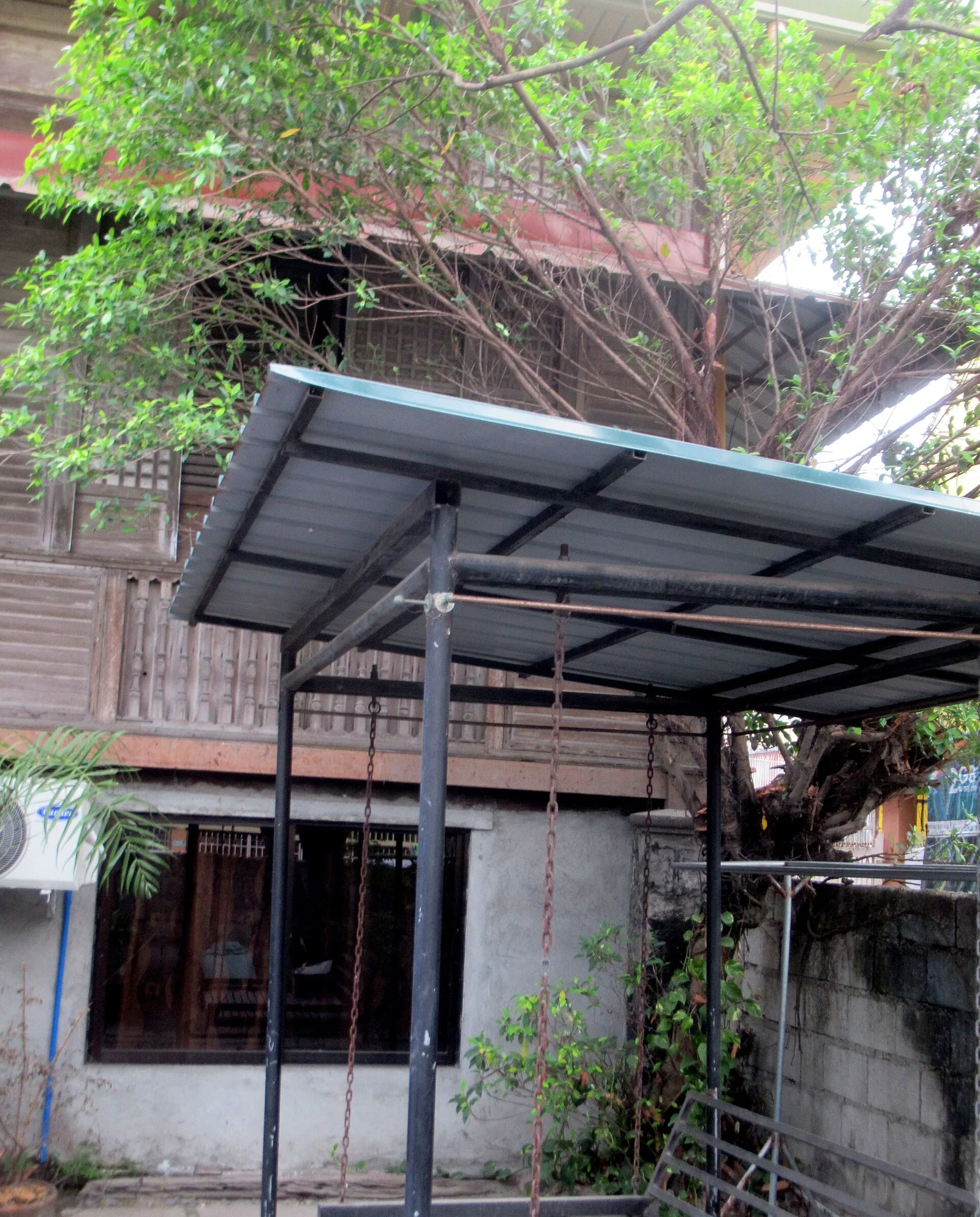
A Spanish-era residence belonging to a minor branch of the Aquino political dynasty in neighboring Concepcion, Tarlac. The view is partially obscured by mango trees.
An obelisk-like structure built by the Spanish to serve as a "sun telegraph" that transmitted Morse code messages using the sun's rays. It is one of a few remains of an extensive Spanish military communications and watchtower system in Central …