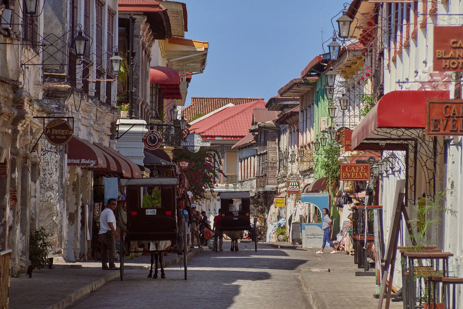
Calle Crisologo
The cobbled street of ancestral houses, closed to cars, best walked early in the morning or after dark. It runs through the Mestizo District and is the best known part of the old town: sett paving, and houses with brick …
Island group · 8 regions
The cobbled street of ancestral houses, closed to cars, best walked early in the morning or after dark. It runs through the Mestizo District and is the best known part of the old town: sett paving, and houses with brick …
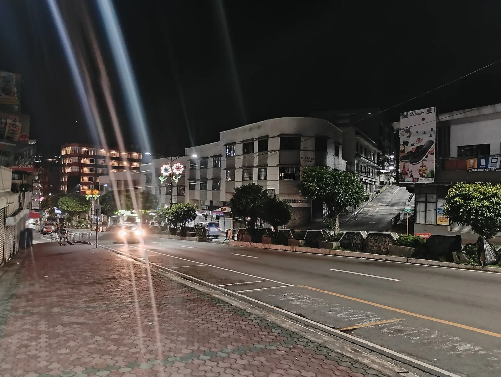
The main street, lined with bakeries and bookshops. It closes to cars on Sundays and fills with stalls and buskers. The road runs 1.7 kilometres through the middle of the city, six lanes wide, and on open days it carries …
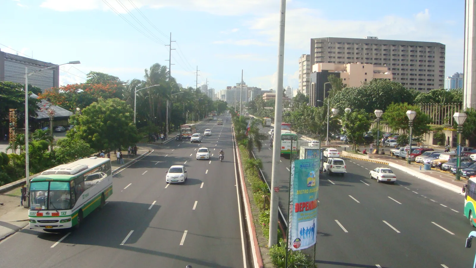
A waterfront road along Manila Bay, known for its sunsets and its long line of coconut trees. Hotels, restaurants, parks, offices and a yacht club face the water from it. The eight-lane road curves south from Luneta in Manila to …
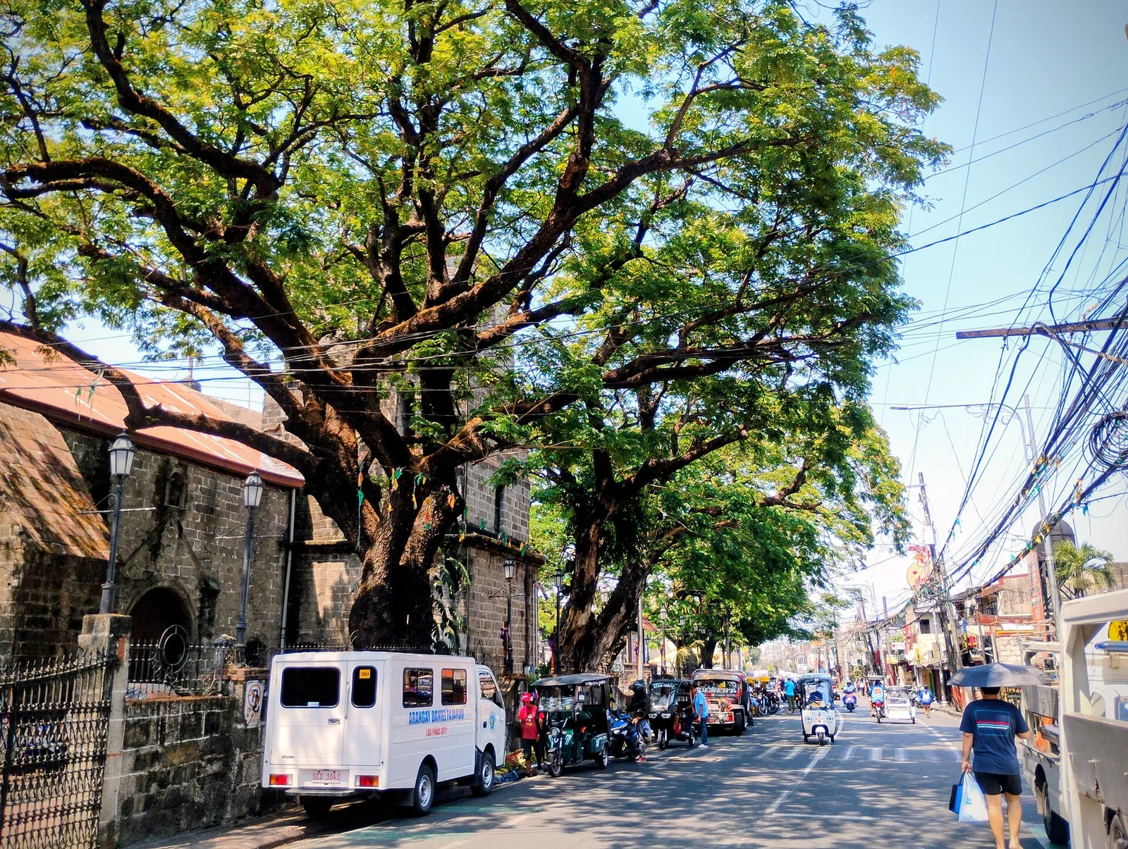
The old main road of the city and the spine of its historical corridor, with the Las Piñas Church, the Gabaldon Hall and the old district hospital along it. The road marks where the shore of Manila Bay ran in …
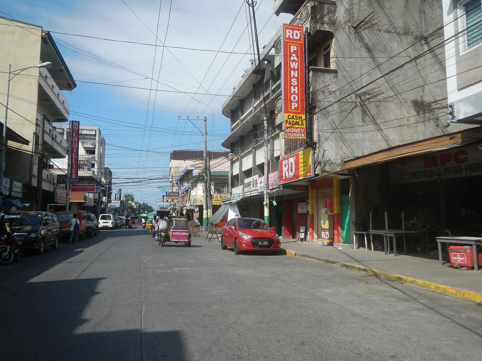
The street to eat on in Dagupan, and the centre for the local cooking. Pigar-pigar and kaleskes both started in this city, along with Bonuan boneless bangus. Dagupan calls itself the Bangus Capital of the Philippines and the Kitchen of …
A street of food hubs in Barangay Concepcion Dos, and the best known place to eat in the city. The other eating strips are Gil Fernando Avenue, J. P. Rizal Street and Bayanbayanan Avenue, where most of the restaurants, cafes …
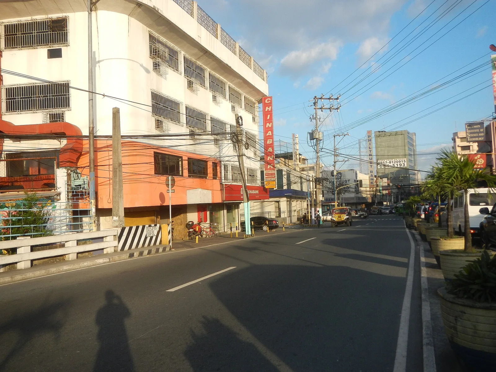
The main road through the Mandaluyong side of Ortigas Center, lined with shopping malls. Shangri-La Plaza and the Starmall shopping center stand at the EDSA corner, and The Marketplace is in sight of the Kalentong junction. The MRT-3 stops here …