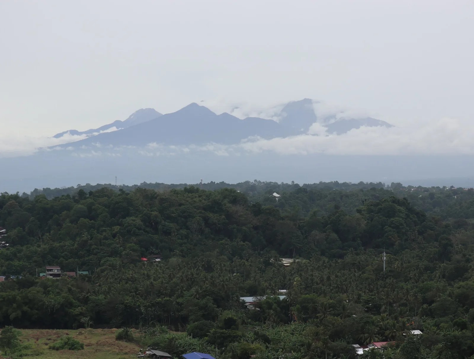
Mount Apo
The country's highest peak at 2,954 metres, climbed over three to four days with a permit and a guide. It is a large dormant stratovolcano in the Apo-Talomo Mountain Range, standing where Davao City, Davao del Sur and Cotabato meet. …
Island group · 6 regions
The country's highest peak at 2,954 metres, climbed over three to four days with a permit and a guide. It is a large dormant stratovolcano in the Apo-Talomo Mountain Range, standing where Davao City, Davao del Sur and Cotabato meet. …
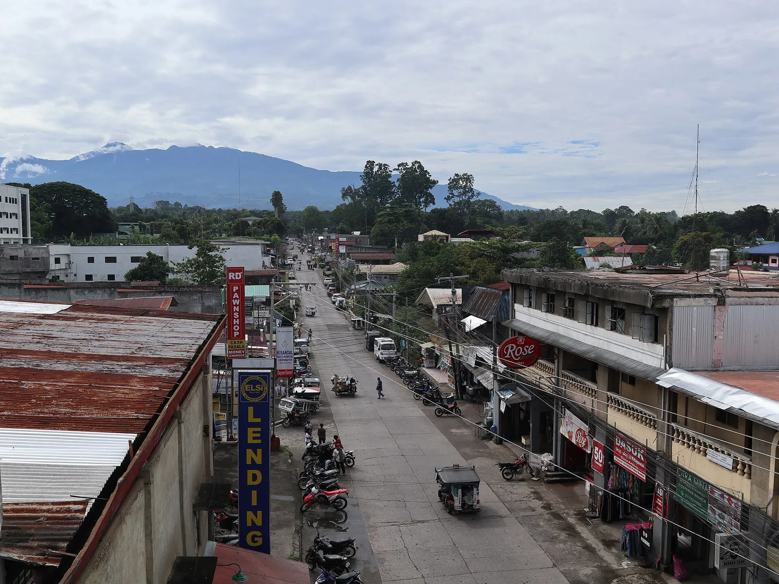
The tallest mountain in the country, 3,143 metres above sea level, and this city is one of the well known places to start the climb. One trail leaves from Lake Agco in Barangay Ilomavis, and two more run to Santa …
The highest peak in Caraga at 2,012 metres, climbed each year on trips that trekkers and mountaineers organise. There are also organised climbs up Mount Mas-ai, a plateau at Putting Bato with a lake on top.
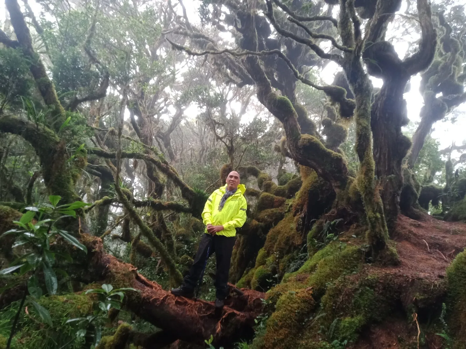
The second highest mountain in the country at 2,938 metres, in the Kitanglad Mountain Range. Indigenous people of Bukidnon hold it sacred, and it stands inside their ancestral domain. You must get permission from the Talaandig tribal leaders of Lantapan …
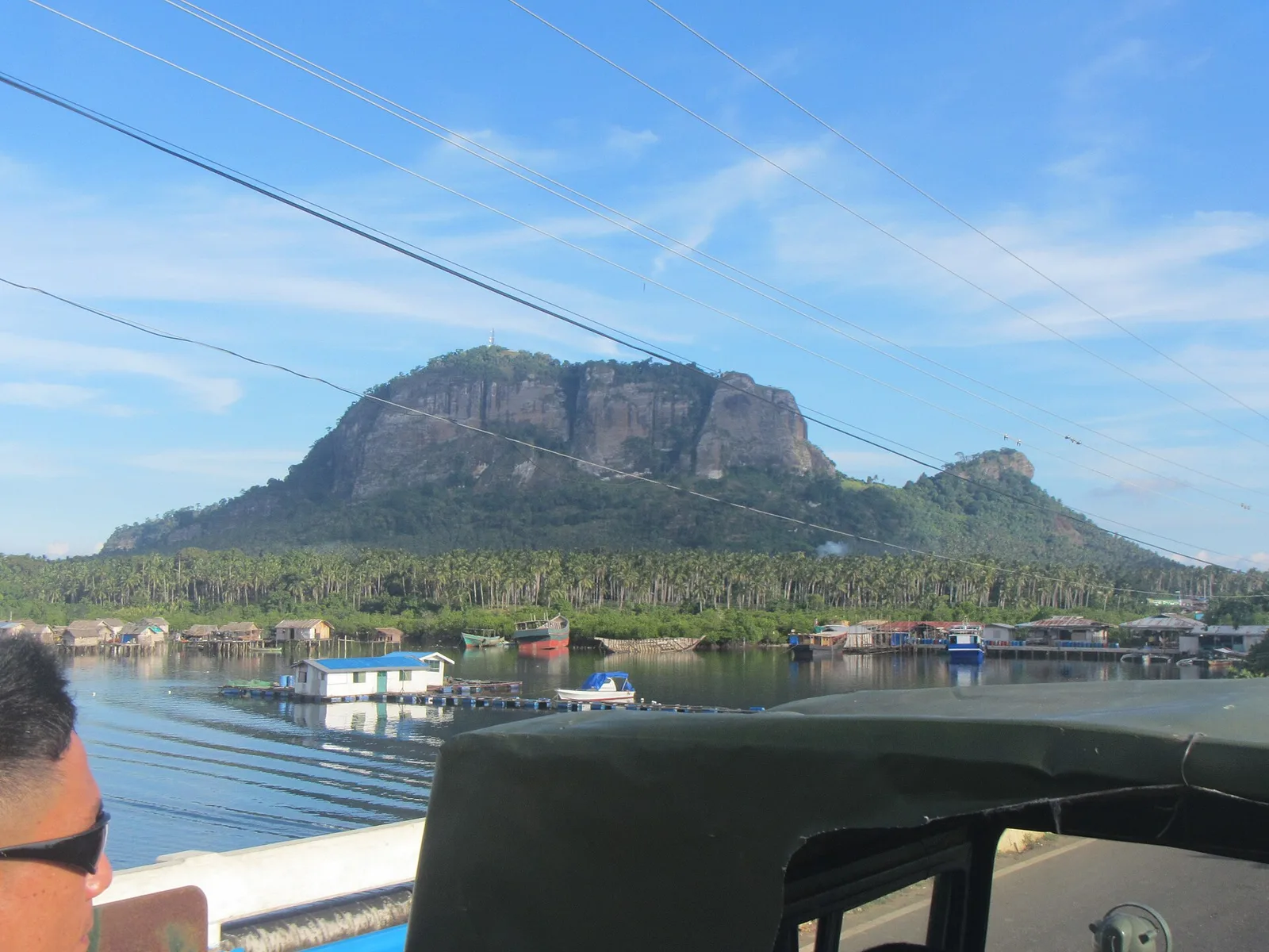
The southernmost peak in the Philippines: six limestone pillars that stand as its six summits. Local people call it Bud Bongao and hold it sacred. Two Islamic preachers who followed Karim ul-Makhdum are believed to lie under the Tampat Rocks, …
A mountain above Barangay Kusiong, green because grass covers most of it. The hike from the foot to the summit takes two hours.
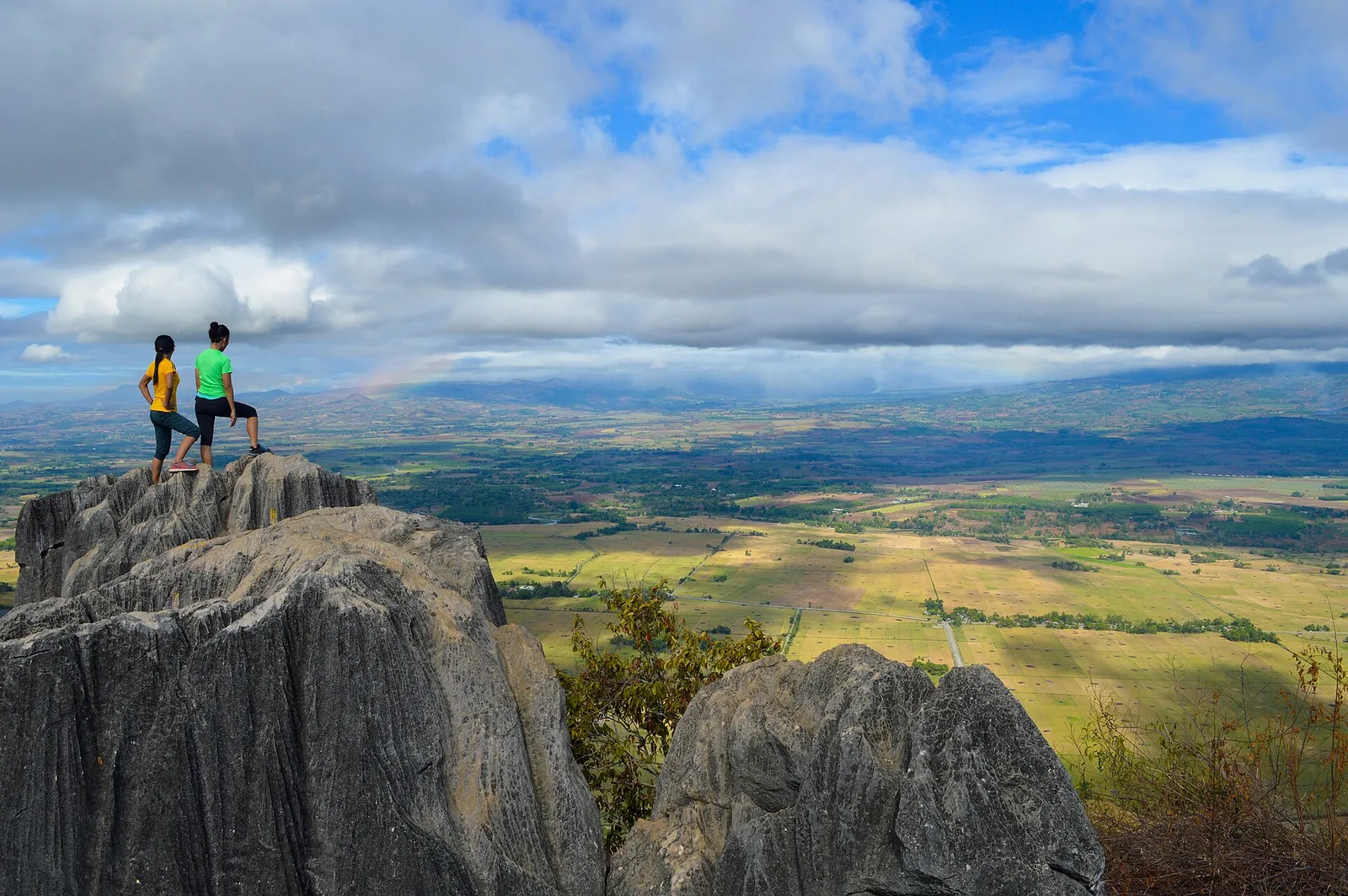
A mountain of rock formations and caves, 18 kilometres south of the city proper in Barangay Managok. It is known as an evacuation area in the Second World War. Trekkers and climbers go up for the view from the top, …