Cagraray Island
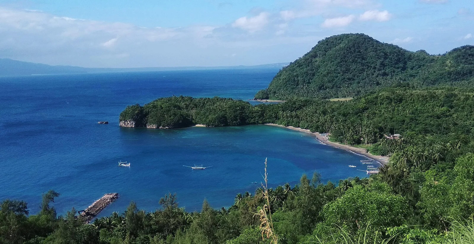
An island between San Miguel and Batan islands, known for eco-tourism and for Mataas cave, one of only two caves in Albay that are open to the public. Misibis Bay, a luxury resort, is on the island as well. Most …
Showing 1111 to 1140 of 1,605
An island between San Miguel and Batan islands, known for eco-tourism and for Mataas cave, one of only two caves in Albay that are open to the public. Misibis Bay, a luxury resort, is on the island as well. Most …
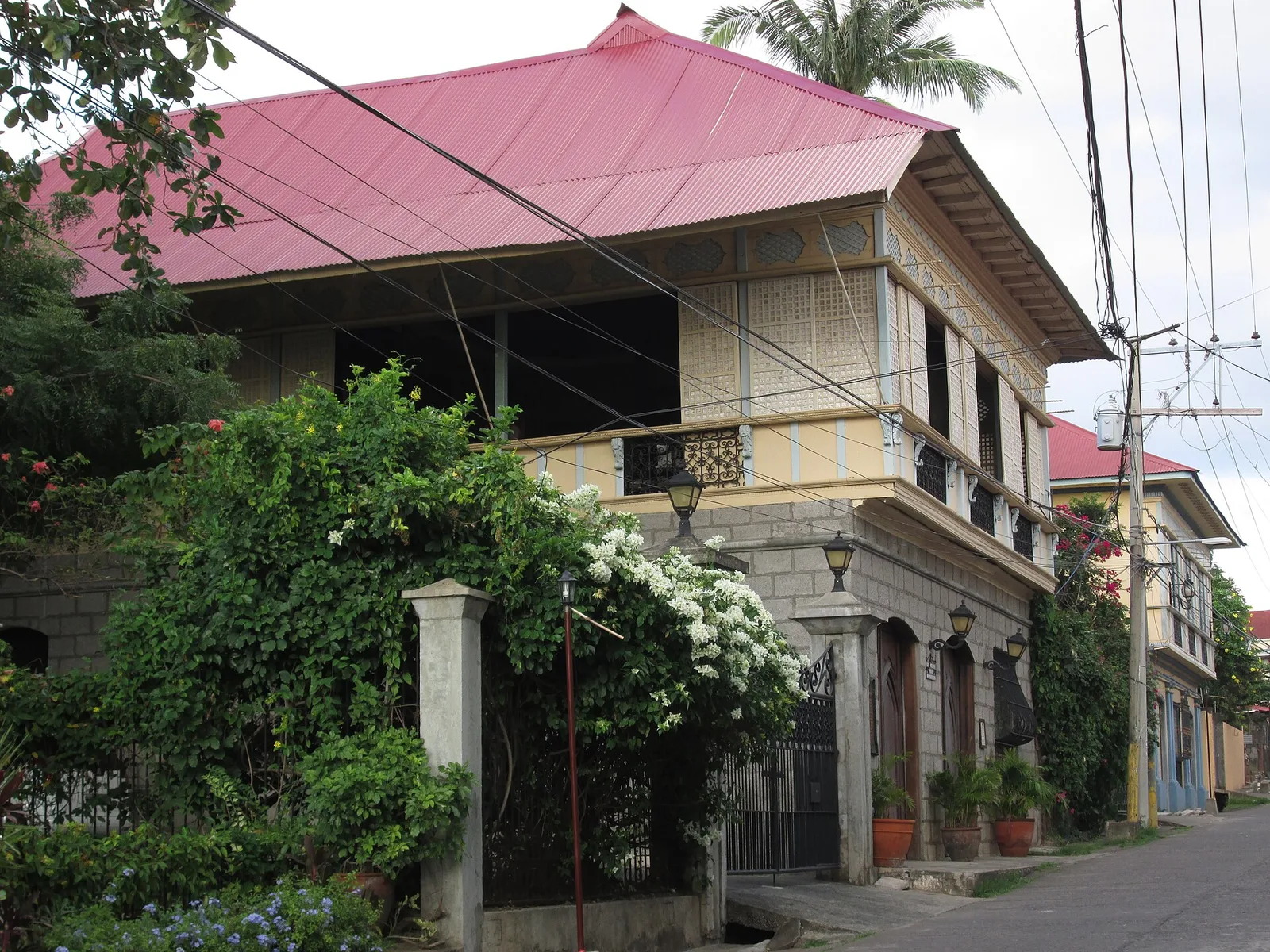
Ancestral houses kept as museums, including the home of Marcela Agoncillo, who sewed the first Philippine flag. Her grandfather built that house, one of the oldest in Taal, and her husband Felipe Agoncillo lived there after their marriage in 1889. …
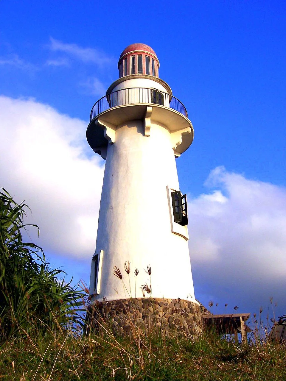
A six-storey lighthouse on Naidi Hill in Barangay San Antonio, with a deck over Basco and the open sea. You reach it on foot: the hike up from the Port of Basco is 1.2 kilometres. The deck is on the …
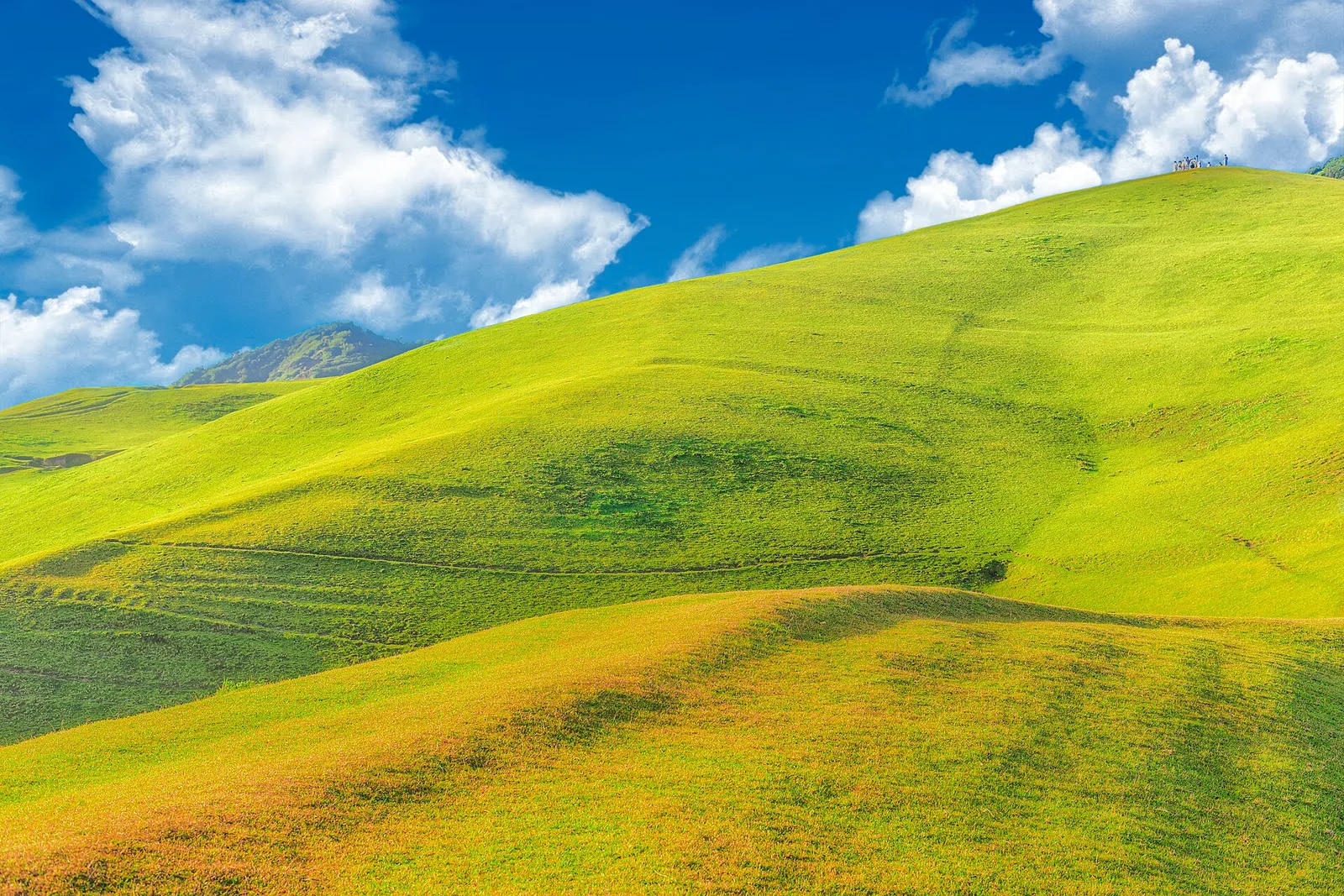
Open pasture on a headland above the sea, with cattle grazing and a view to Mount Iraya. It is also called Racuh a Payaman.
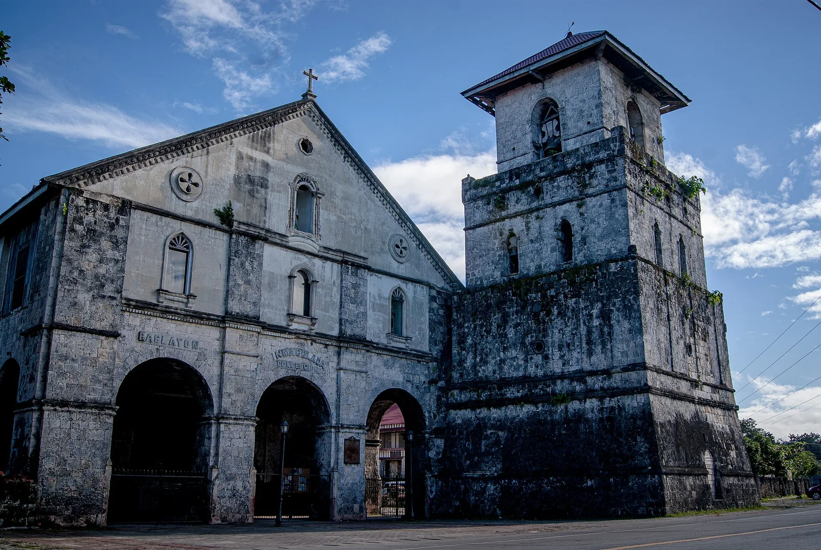
One of the oldest stone churches in the country, rebuilt after the 2013 earthquake, with a small museum. Jesuits founded Baclayon in 1596 as the first Christian settlement in Bohol, and the coral stone church that stands now was finished …
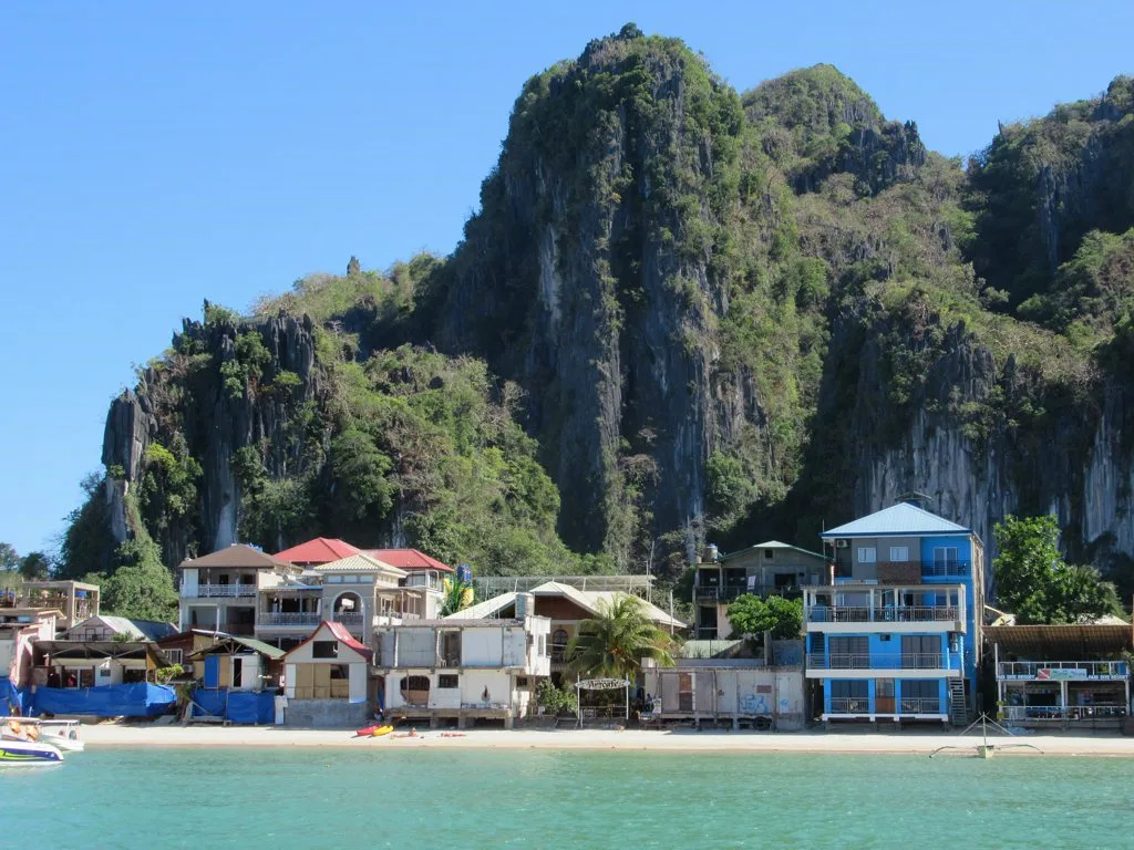
A sharp limestone climb above the town, done with a guide and gloves for the view over Bacuit Bay.
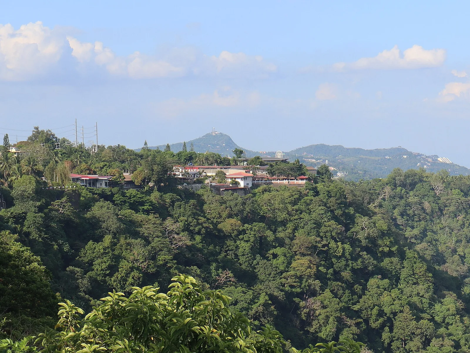
The road along the crest, with viewpoints looking down on Taal Lake and the volcano island. The ridge is the northern rim of the Taal Caldera, a collapsed bowl 25 by 30 kilometres wide that the lake now partly fills, …
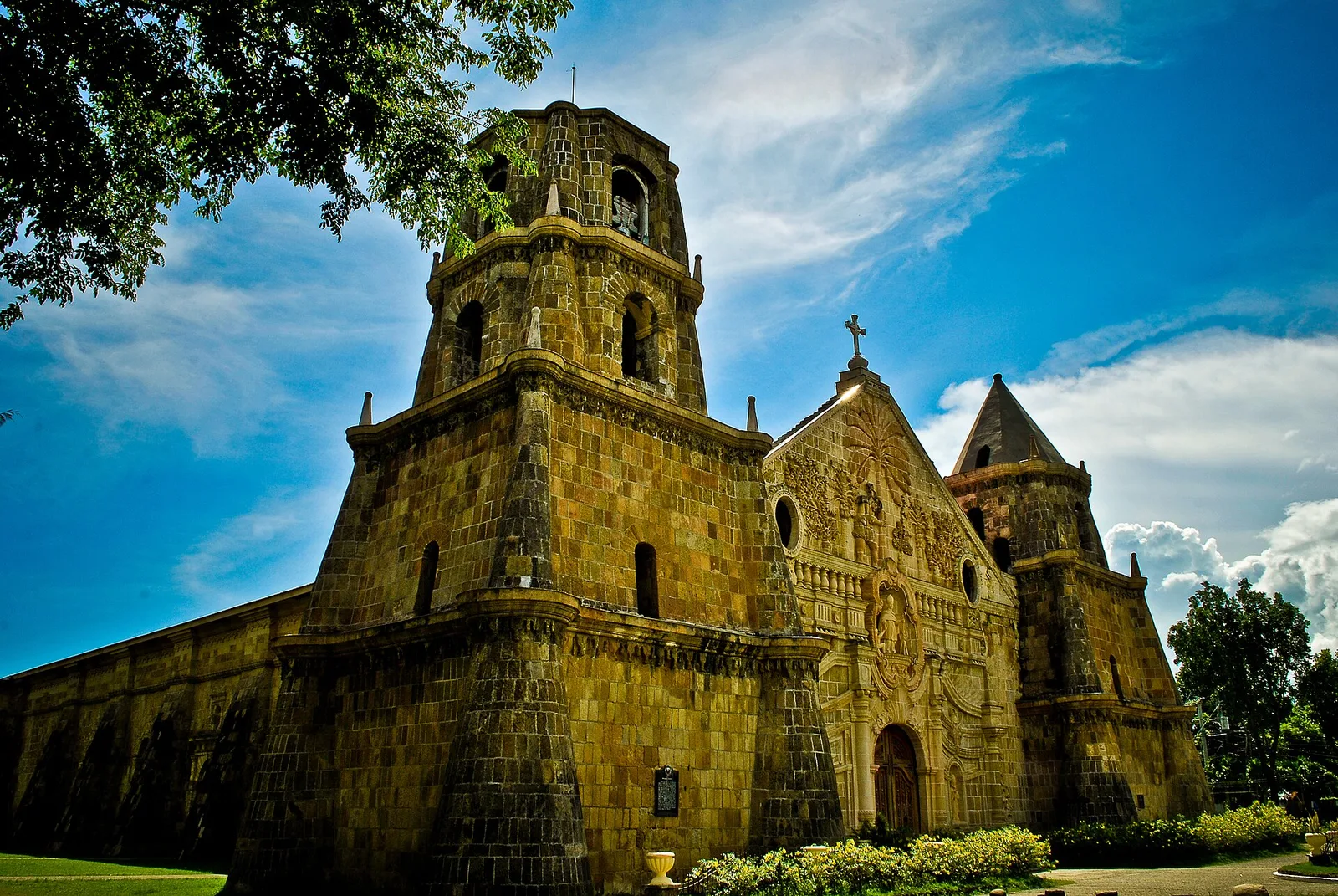
A fortress church an hour south, a UNESCO World Heritage Site, with a facade carved with a coconut tree and Saint Christopher.
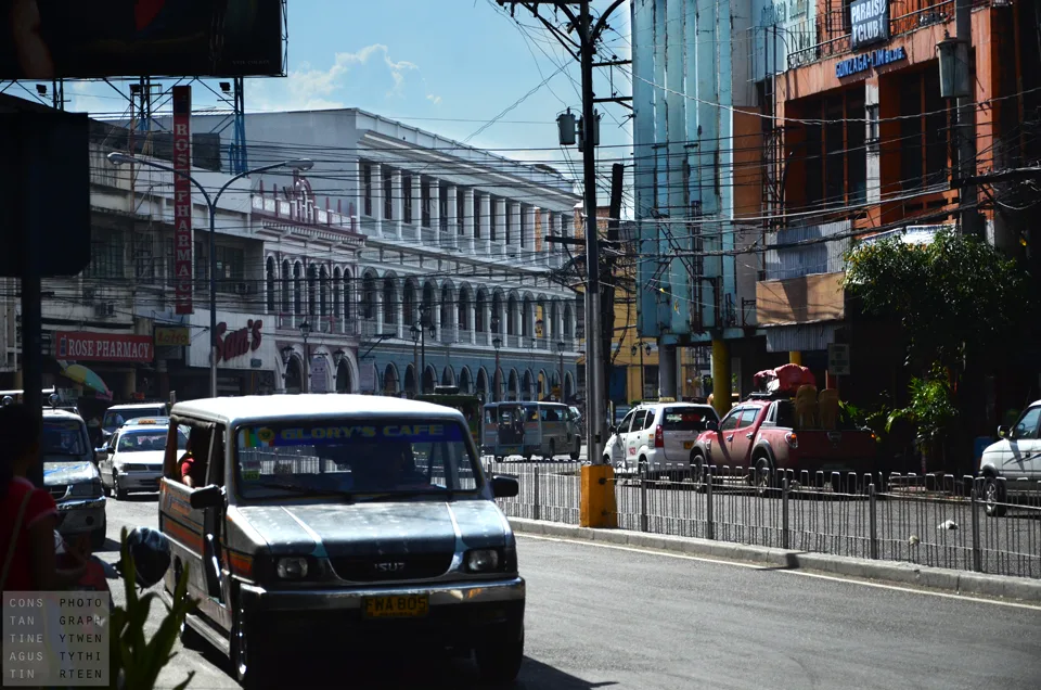
The old commercial street of Spanish and art deco buildings, now restored, running through the downtown. Its official name is J. M. Basa Street, and it was the city's main shopping centre for more than a century. The buildings along …
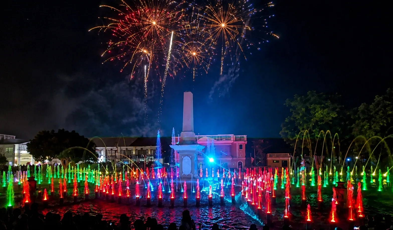
A free water and light show on the plaza in the evenings. The plaza is the longer arm of an L-shaped open space and is the town centre, named after the Spanish conquistador Juan de Salcedo. With Plaza Burgos it …
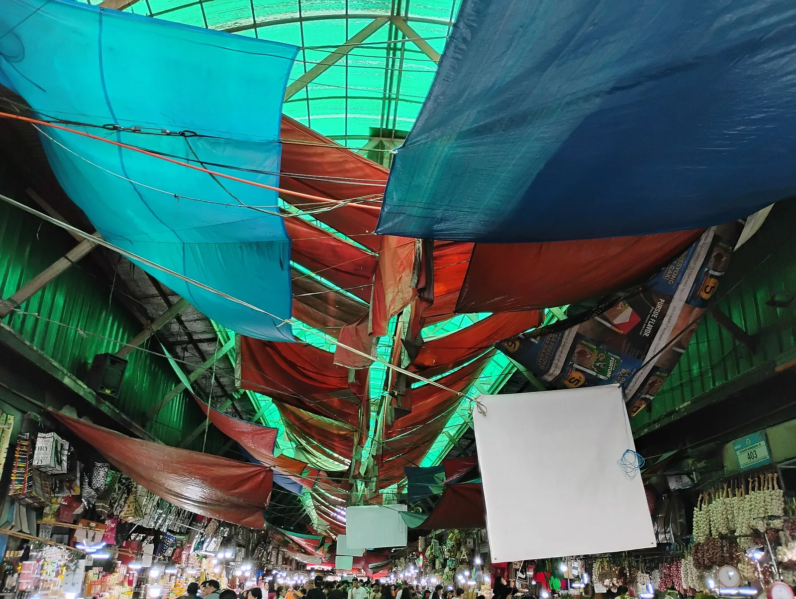
Where the highland vegetables, strawberry jam, peanut brittle and woven blankets are cheapest.
The colonial-era residence of the Mamba family, one of the leading political dynasties in Cagayan. The house was also used as the headquarters of the government of Free Cagayan during World War II, and afterwards became the administrative building of …
A sight at #25 Catanduanes Circumferential Road, Virac. Hours: Open 24 hours. Entry: Free.
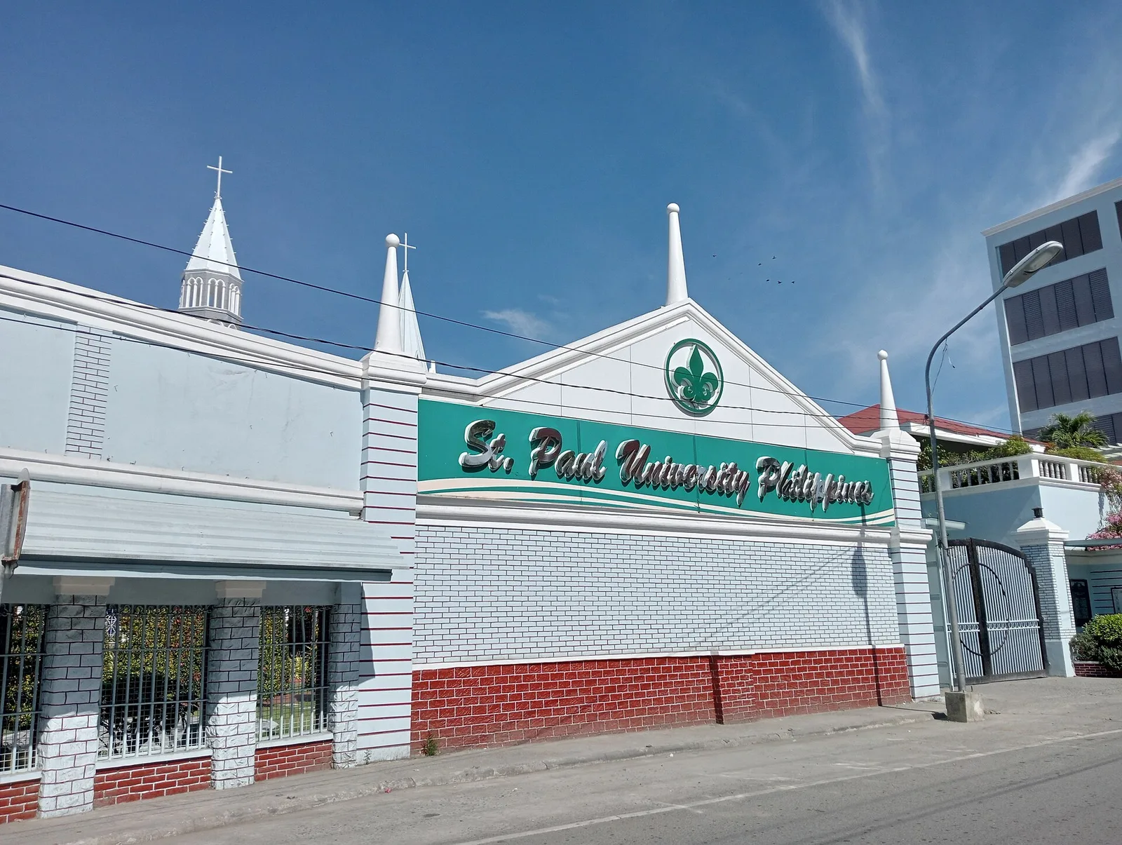
It was founded by the Sisters of St. Paul of Chartres in 1907, who came to Cagayan upon the invitation of Bishop Dennis Dougherty. The school had its operation in a Spanish Convento, adjoining the Cathedral of Tuguegarao. The institution …
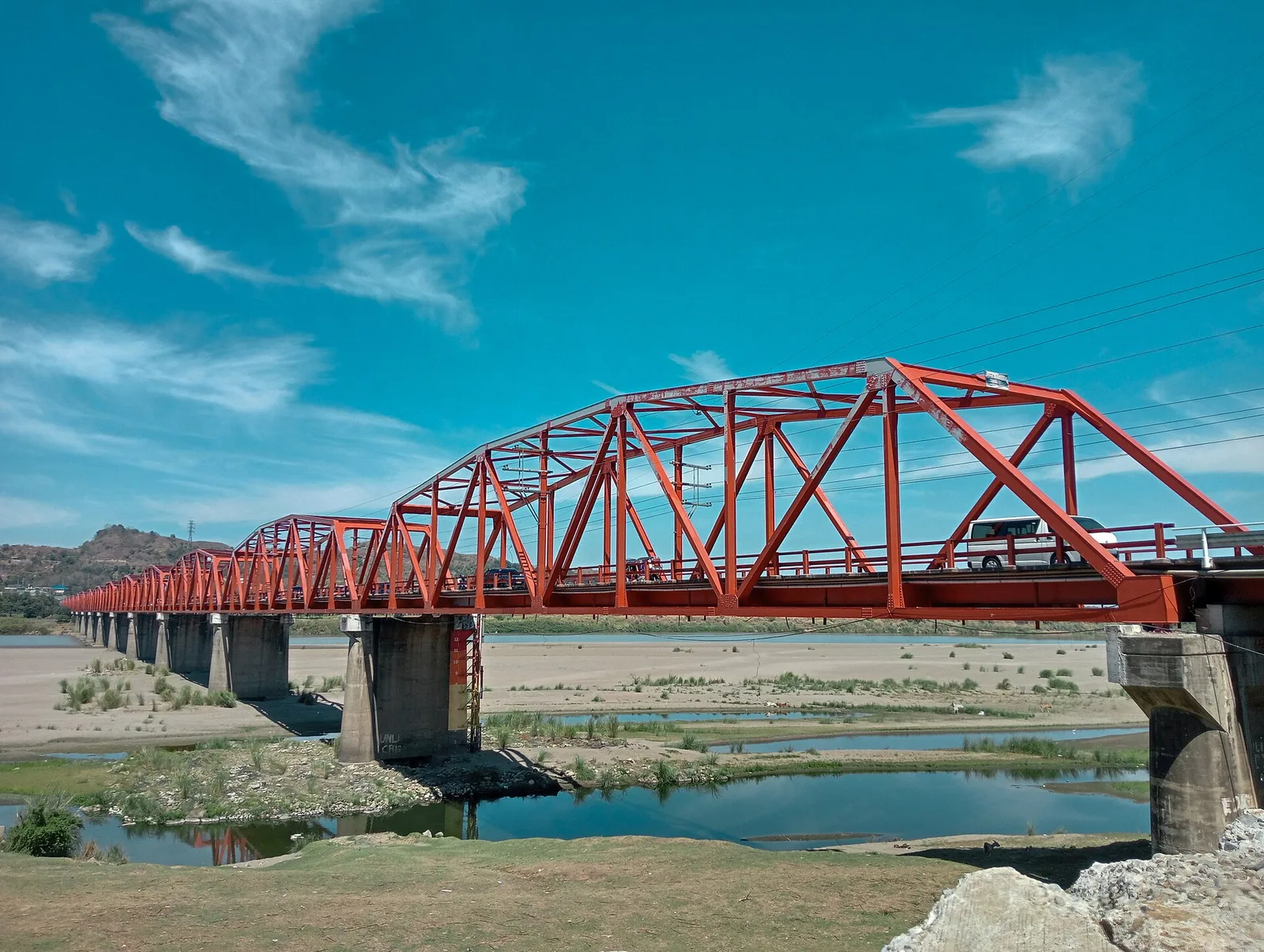
One of the longest bridges in the country at . It is from the city proper and offers an unobstructed view of the Cagayan River. It connects Tuguegarao with western Cagayan, Kalinga, Apayao and western Isabela.
Hot and cold pools in which to immerse yourself. Zip line. Hiking trails to nearby Mount Bulangao.
Also known as the Western Mindanao State University (WMSU) Social Hall, the building was built during the American Era and was the center of education for most of Mindanao. It houses the College of Education of WMSU and is also …
Where the great conquistador Juan de Salcedo landed when he arrived in Vigan through the Mestizo River. Also the site of the city slaughterhouse, built during the Spanish Era (for which the barangay is named).
The residence of local pottery artist Ugu Bigyan, which was opened to the public in 2000 as an arts space and workshop.
A volcanic crater lake west of downtown Tiaong. It was formed as part of the Laguna Volcanic Field and is an extension of the more famous Seven Lakes of neighboring San Pablo, but is less visited and has few tourist …