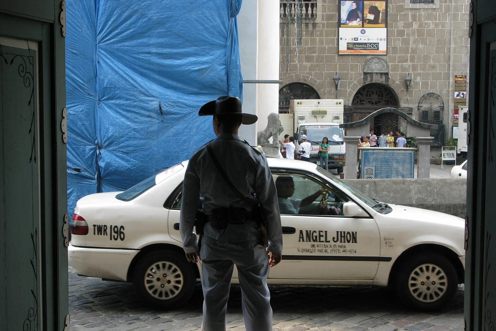
Intramuros
The walled Spanish city of 1571, with Fort Santiago, San Agustin Church and a walk along the ramparts. The district covers 0.67 square kilometres and is enclosed on every side by its fortifications. It was the seat of the Spanish …
The walled Spanish city of 1571, with Fort Santiago, San Agustin Church and a walk along the ramparts. The district covers 0.67 square kilometres and is enclosed on every side by its fortifications. It was the seat of the Spanish …
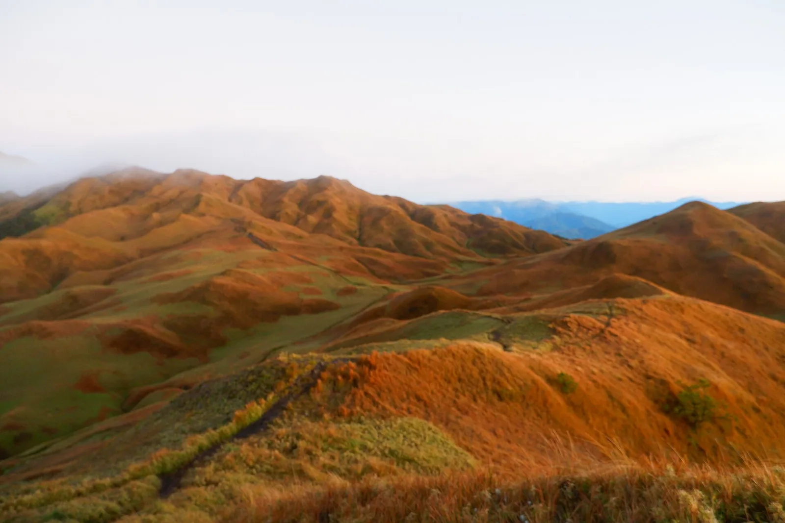
The highest peak in Luzon at 2,926 metres, famous for a sea of clouds at dawn above the dwarf bamboo. Permits and a guide are required. It is the third highest mountain in the country and the second most prominent, …
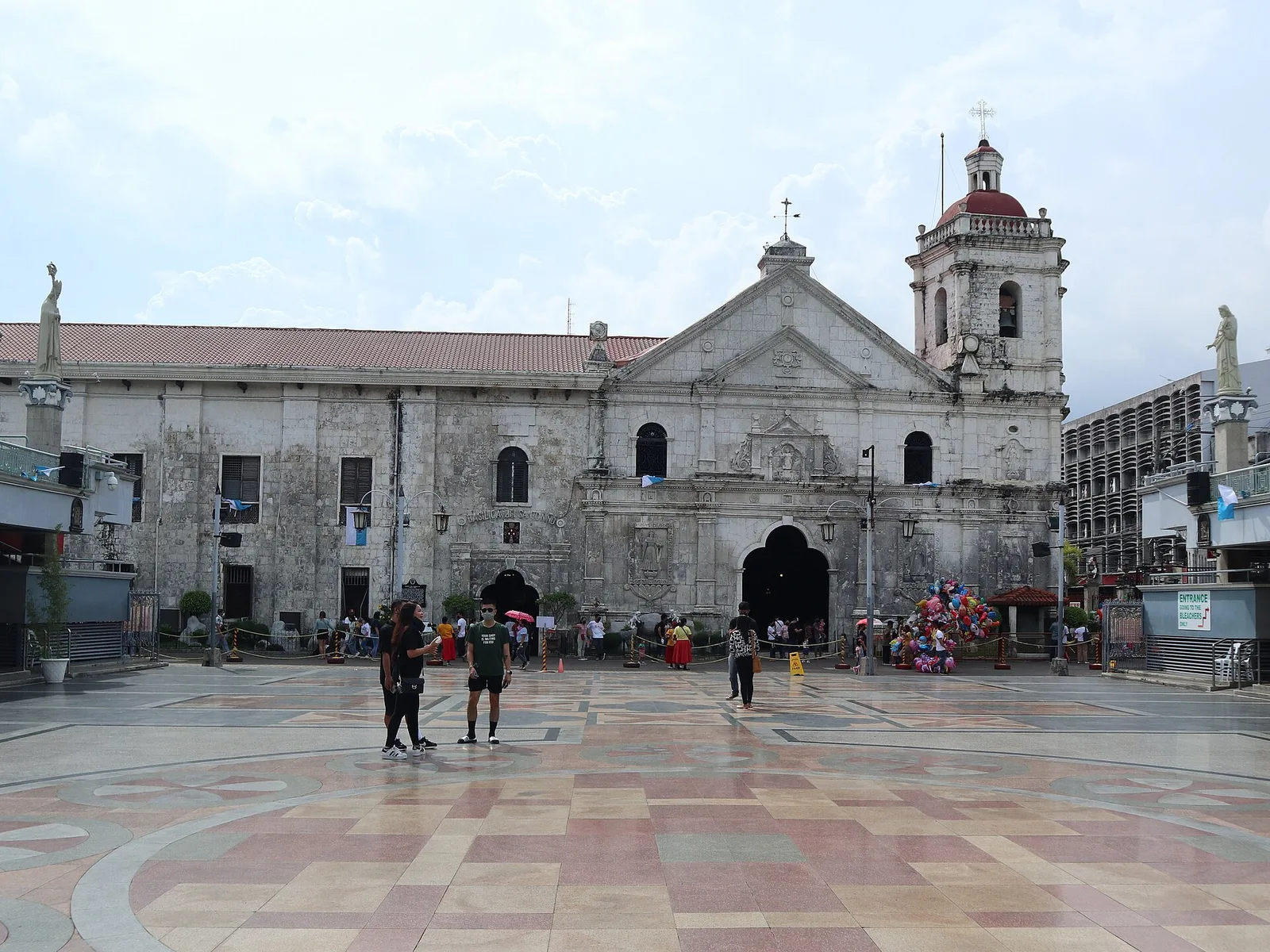
Home of the Santo Niño image that Magellan gave to the chief consort of Rajah Humabon at their baptism in 1521, and the focus of the Sinulog every January. Augustinian friars founded the church in 1565 and it is the …
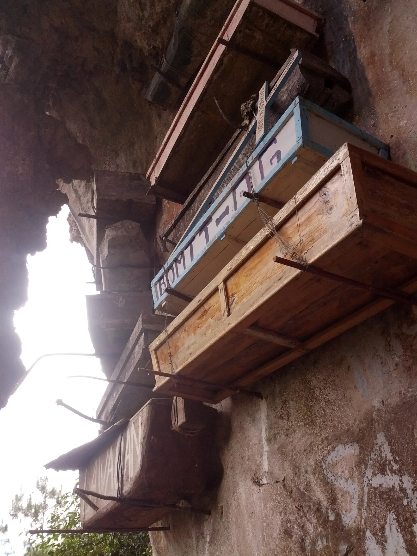
Coffins fixed to the cliff face, an Igorot burial practice still used occasionally. Visited with a local guide. People have been buried this way around Sagada for more than 2,000 years. The old carve their own coffin out of a …
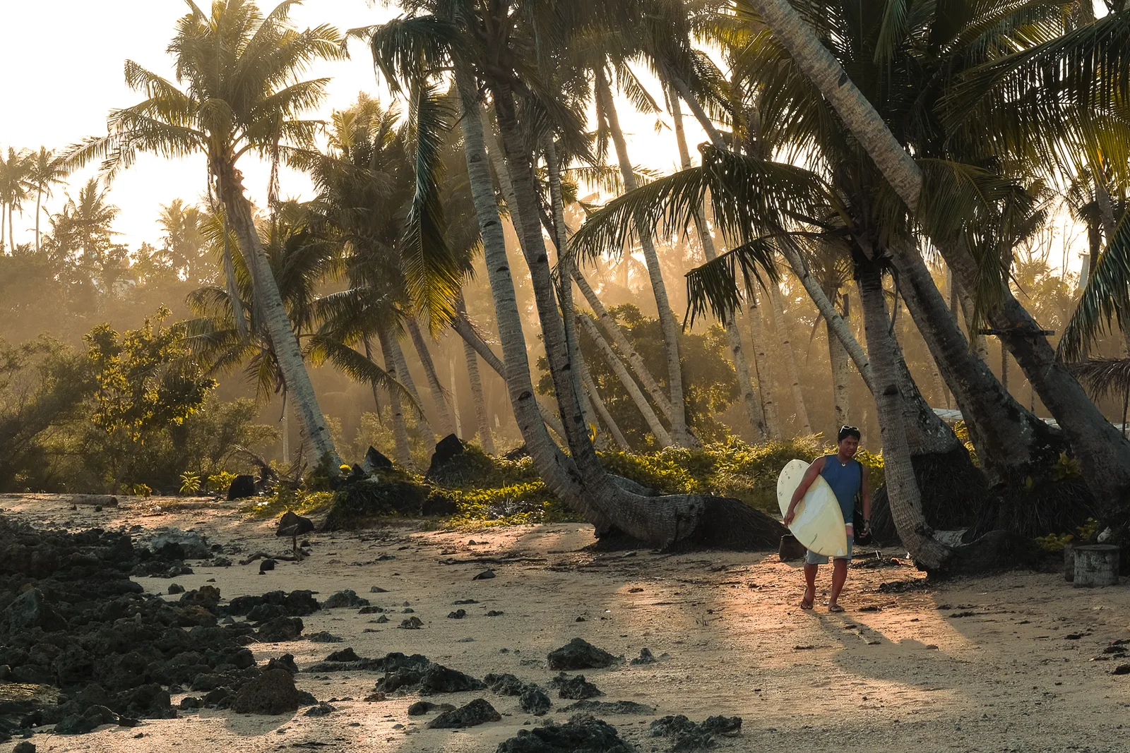
An island of reefs, small points and white sand beaches in the Philippine Sea, known as the surfing capital of the Philippines. It covers about 437 square kilometres and holds eight municipalities, among them Dapa, Del Carmen and General Luna. …
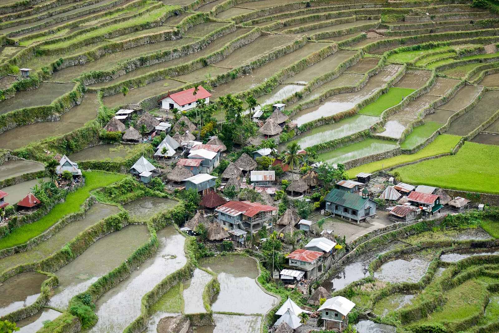
An amphitheatre of stone-walled terraces, part of the UNESCO listing, reached by a hike from the saddle. Batad and Bangaan are the two clusters in Banaue that the World Heritage inscription covers. People here call the Ifugao terraces the Eighth …
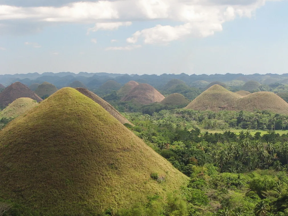
Over a thousand grass-covered limestone mounds that turn brown in the dry season, seen from the deck at Carmen. Counts run from 1,260 hills to more than 1,776, scattered across the towns of Carmen, Batuan and Sagbayan over more than …
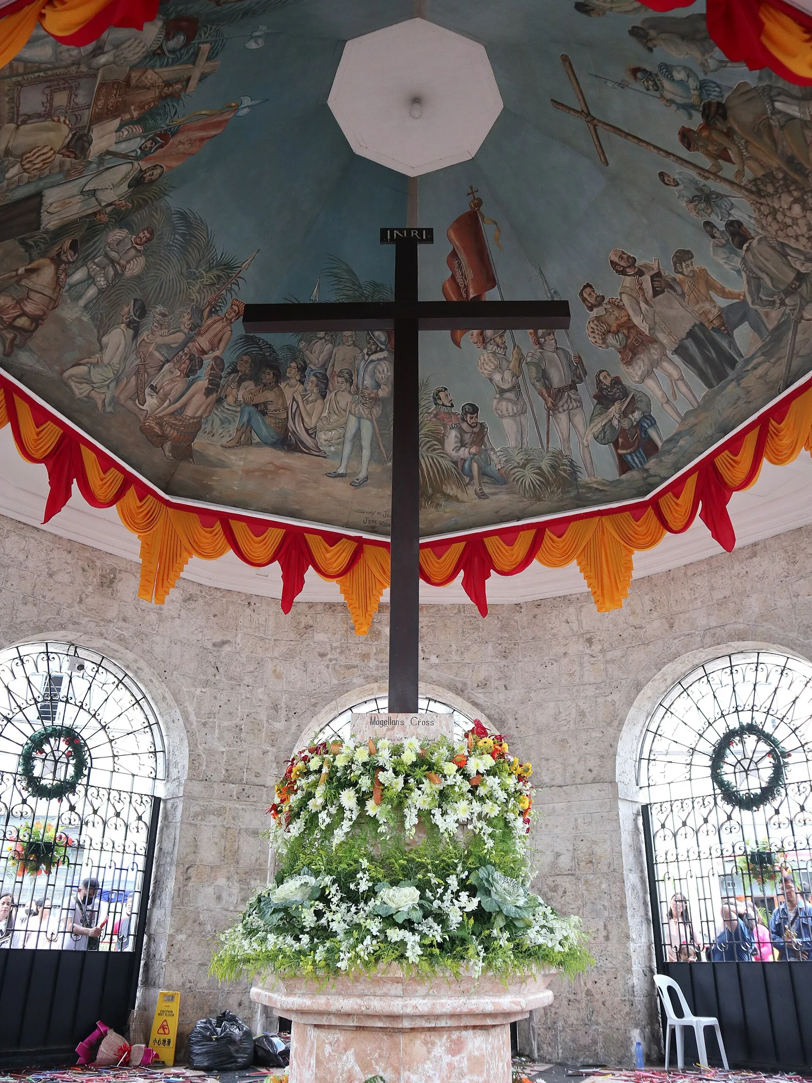
A wooden cross in a stone kiosk, marking where the first Cebuanos were baptised in 1521. Magellan's men planted it when the first voyage around the world reached Cebu on 21 April 1521. In 1835 Bishop Santos Gómez Marañon had …
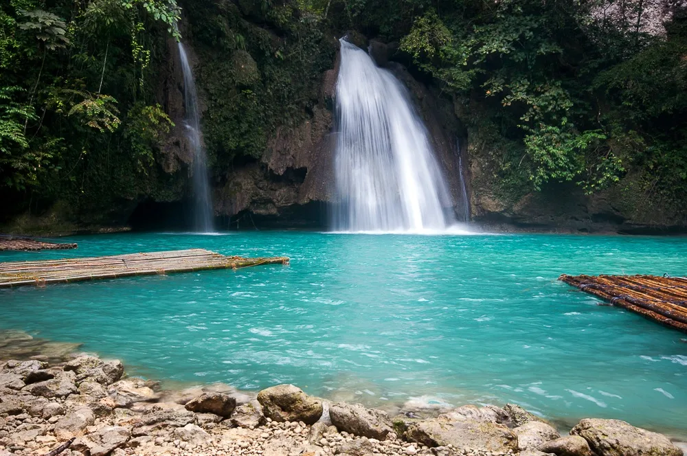
A three-stage cascade of turquoise water in the jungle of Cebu island. The largest fall drops about 40 metres, and the smaller cascades below it end in pools that people swim in. The water rises at the Kabukalan Spring and …
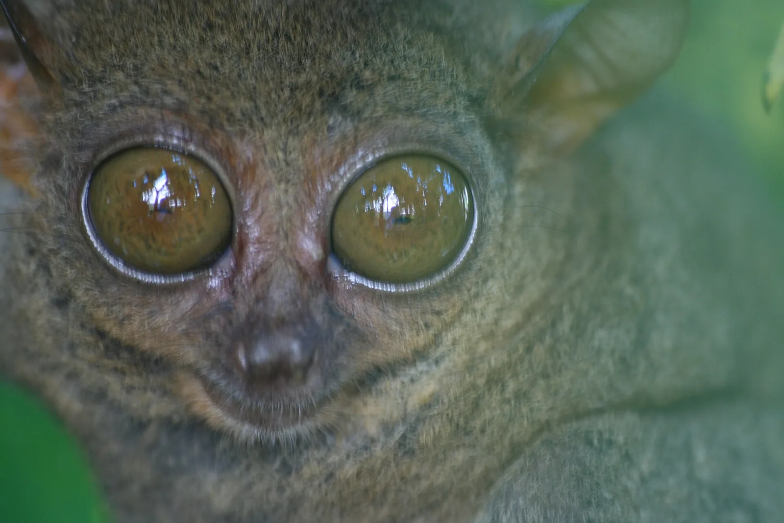
A quiet forest sanctuary in Corella where tarsiers are viewed at a distance, without flash or noise. An adult is about the size of a human fist, 85 to 160 millimetres tall, and one of the smallest primates. Its eyes …
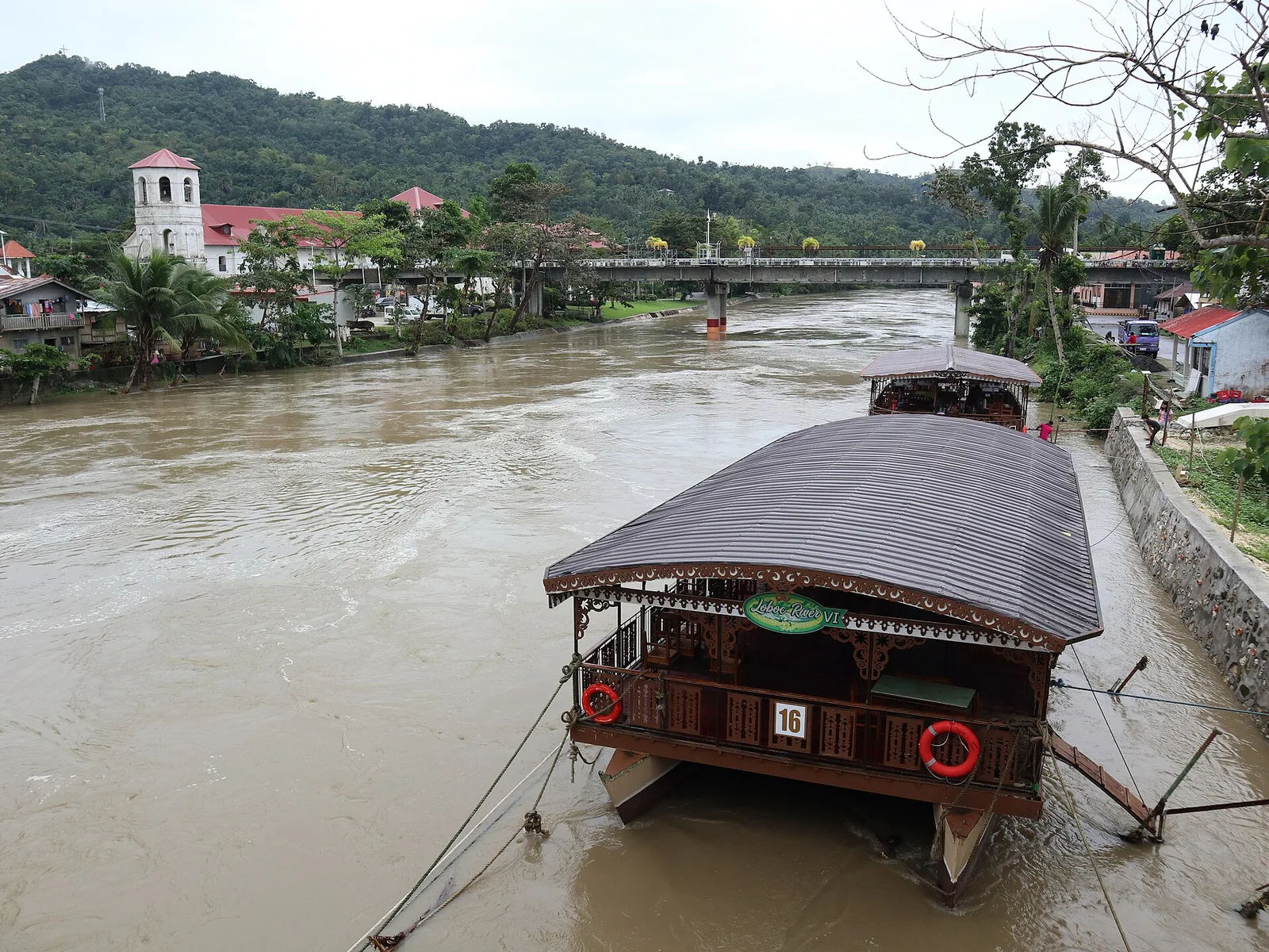
A lunch raft up a green river, with a stop for music from a riverside choir. The boat passes the town centre of Loboc, where the church stands across the highway from the water, and turns upriver towards Busay falls. …
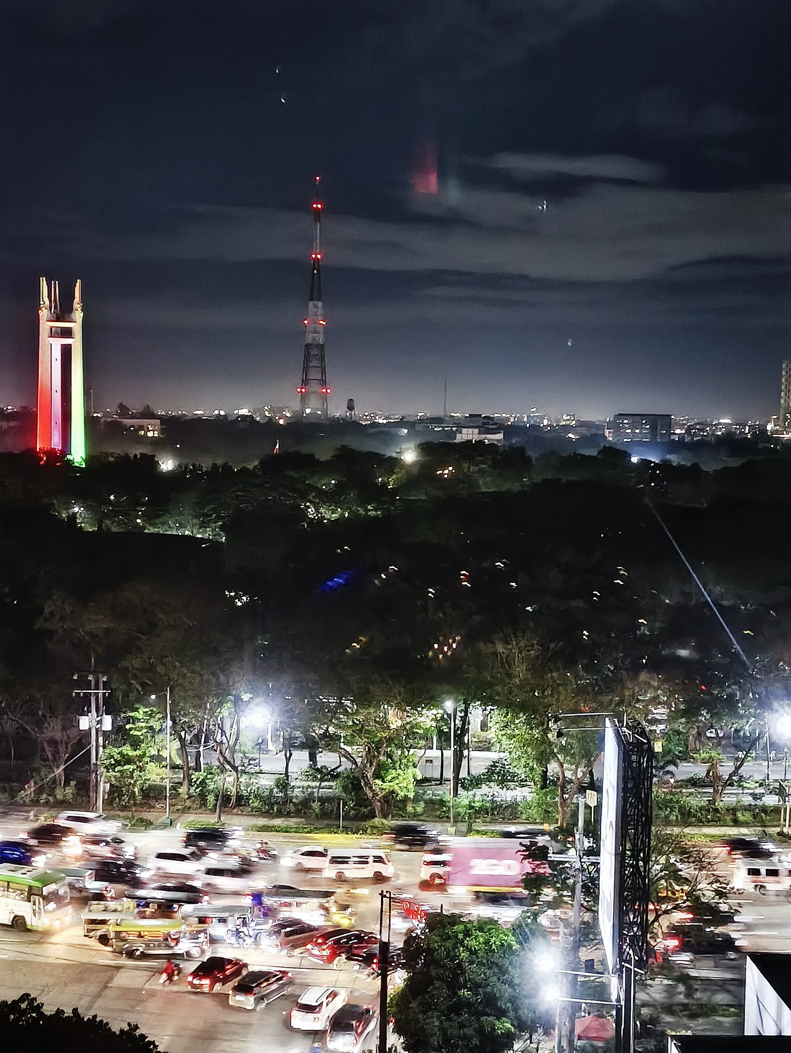
The main park of the city, laid out inside the large roundabout of Elliptical Road. At its centre is a mausoleum 66 metres tall that holds the remains of Manuel L. Quezon, the second president of the Philippines, and of …
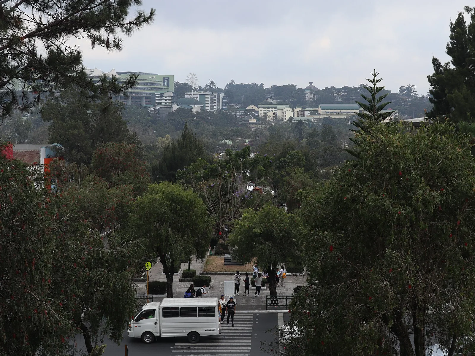
The city's central park: a boating lagoon, a bike loop and a skating rink, laid out by Daniel Burnham in the American period. Burnham was the American architect who drew the city plan for Baguio, and the park, officially the …
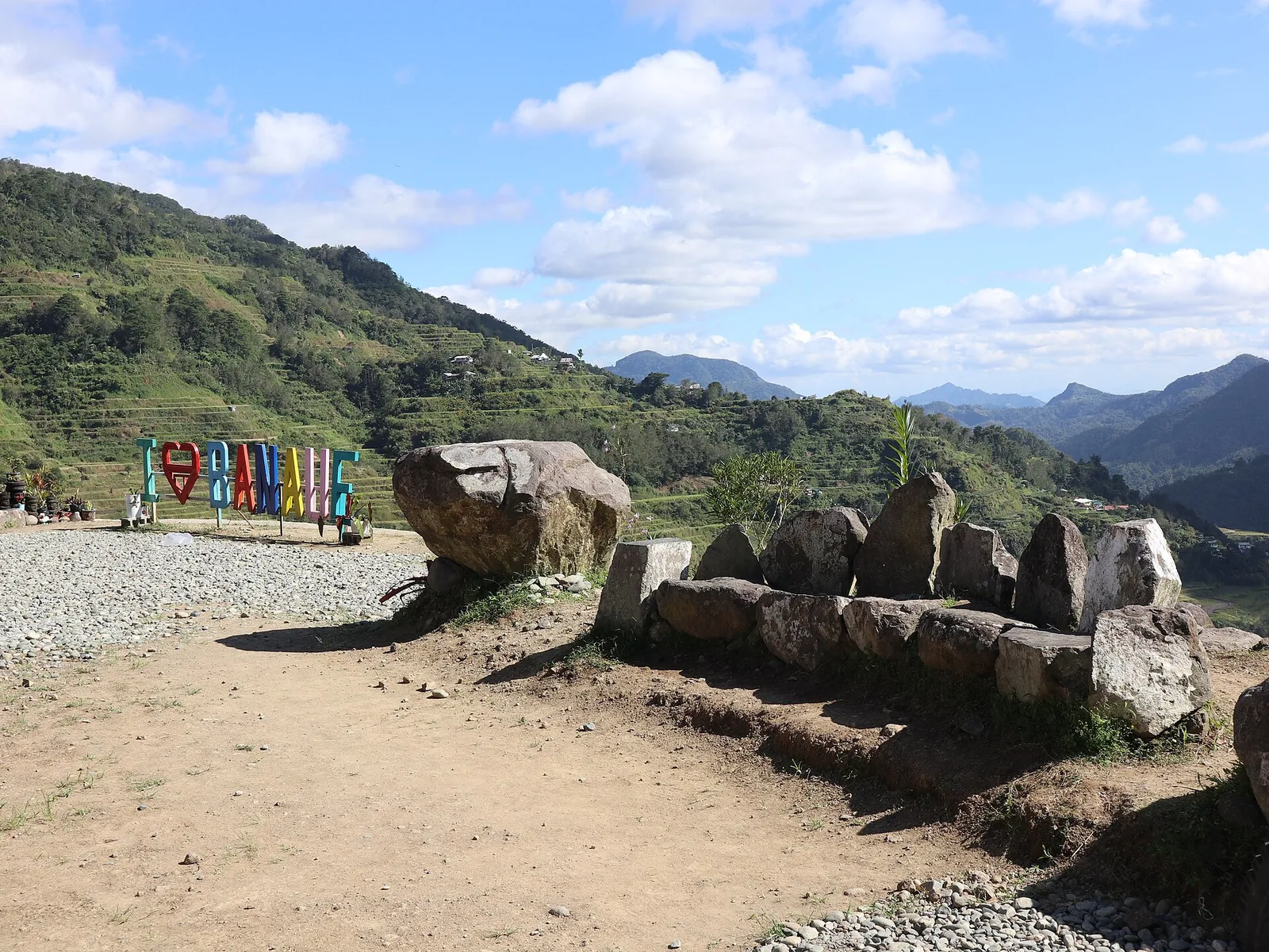
Four roadside decks above the town looking over the terraces, with Ifugao elders in traditional dress. The fields below were cut into the mountains by the ancestors of the Igorot people, by hand and with little equipment, about 1,500 metres …
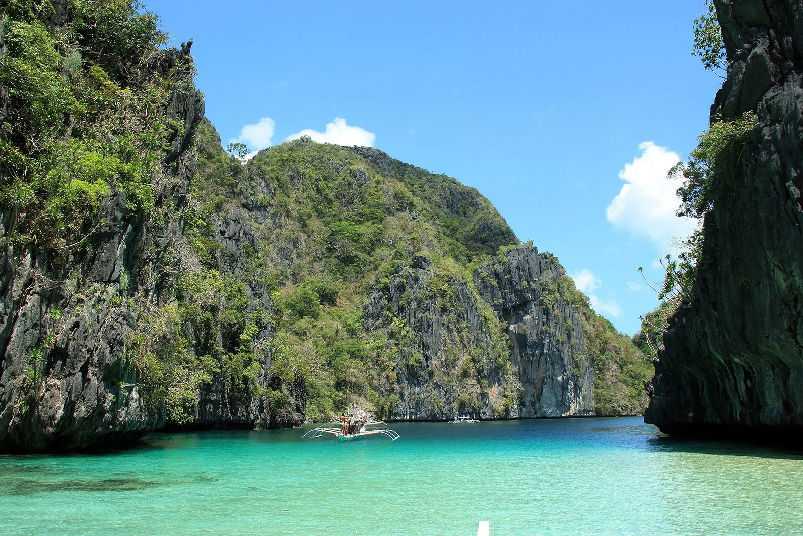
A shallow turquoise channel walled by cliffs, paddled by kayak on Tour A. It sits in the Bacuit archipelago, which the town is the entry point for. El Nido is a managed resource protected area, known for its limestone cliffs, …
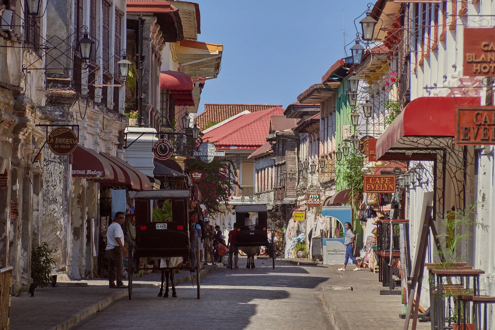
The cobbled street of ancestral houses, closed to cars, best walked early in the morning or after dark. It runs through the Mestizo District and is the best known part of the old town: sett paving, and houses with brick …
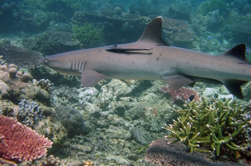
Two coral atolls and a smaller reef in the middle of the Sulu Sea, 150 kilometres southeast of Puerto Princesa. The park covers 97,030 hectares, and UNESCO listed it as a World Heritage Site in 1993. One wall of coral …
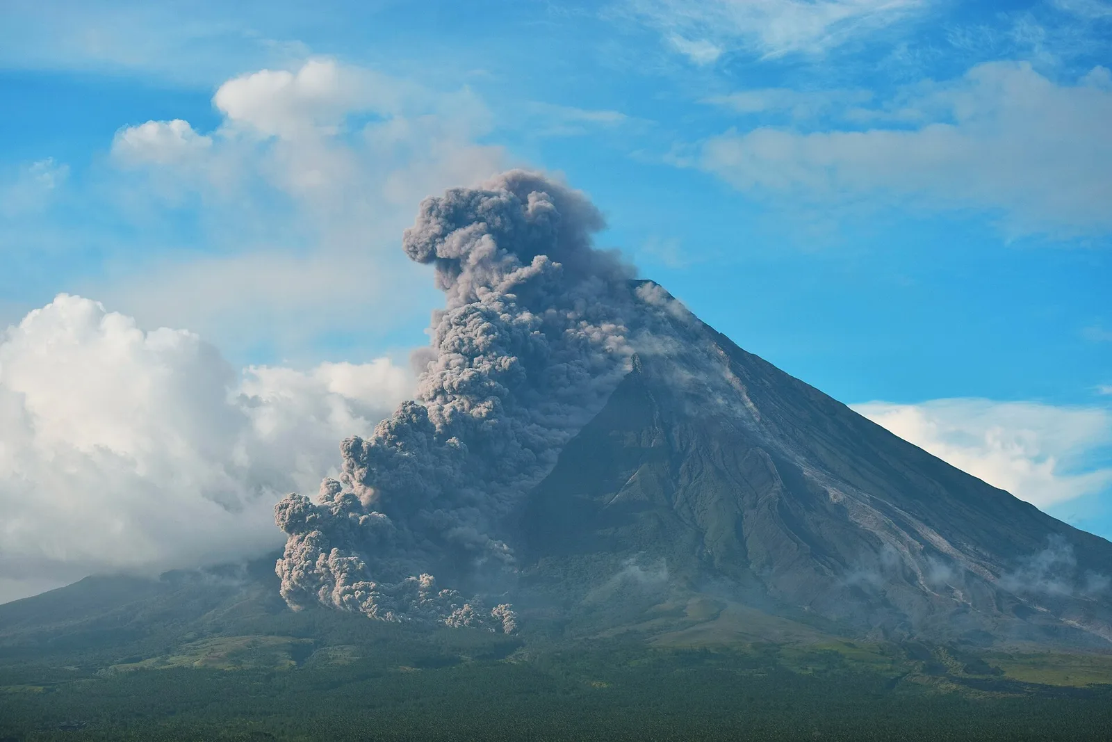
The most active volcano in the country, a stratovolcano with a symmetric cone. Philippine mythology holds it sacred. The volcano and the land around it became the first national park in the nation on July 20, 1938, and were reclassified …
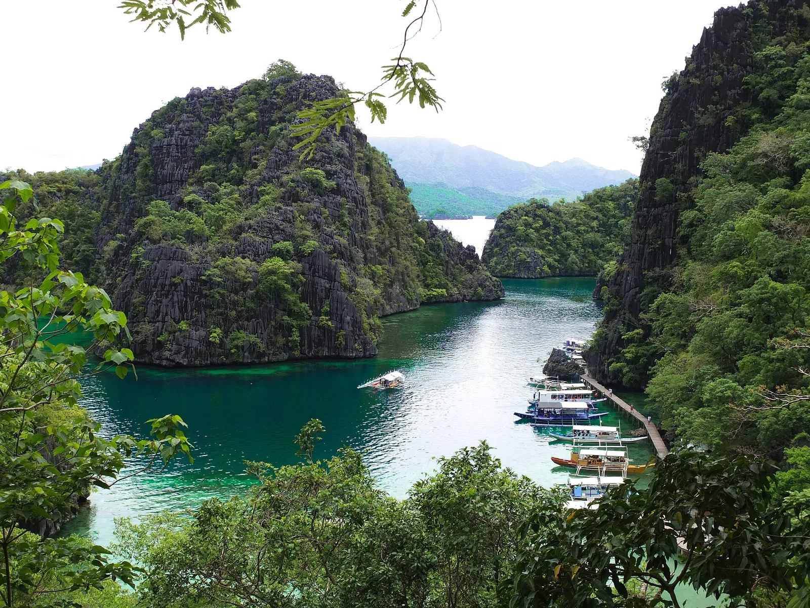
Often called the cleanest lake in the country, reached by a short climb over a ridge from the boat. The water is brackish, part fresh and part salt, and clear enough to show the rock formations and the fish from …
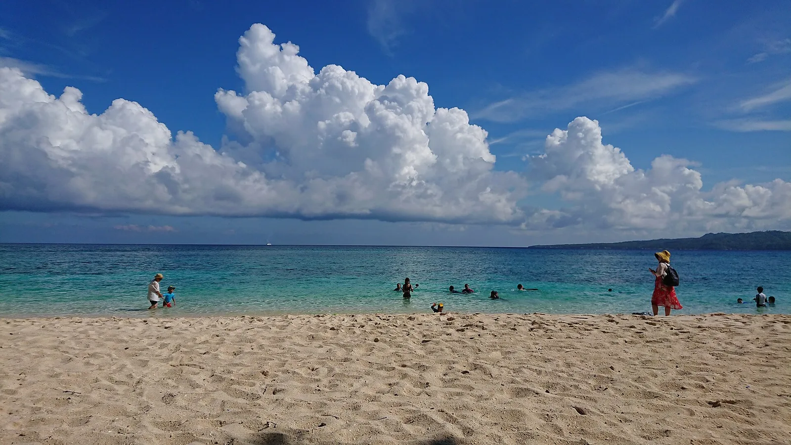
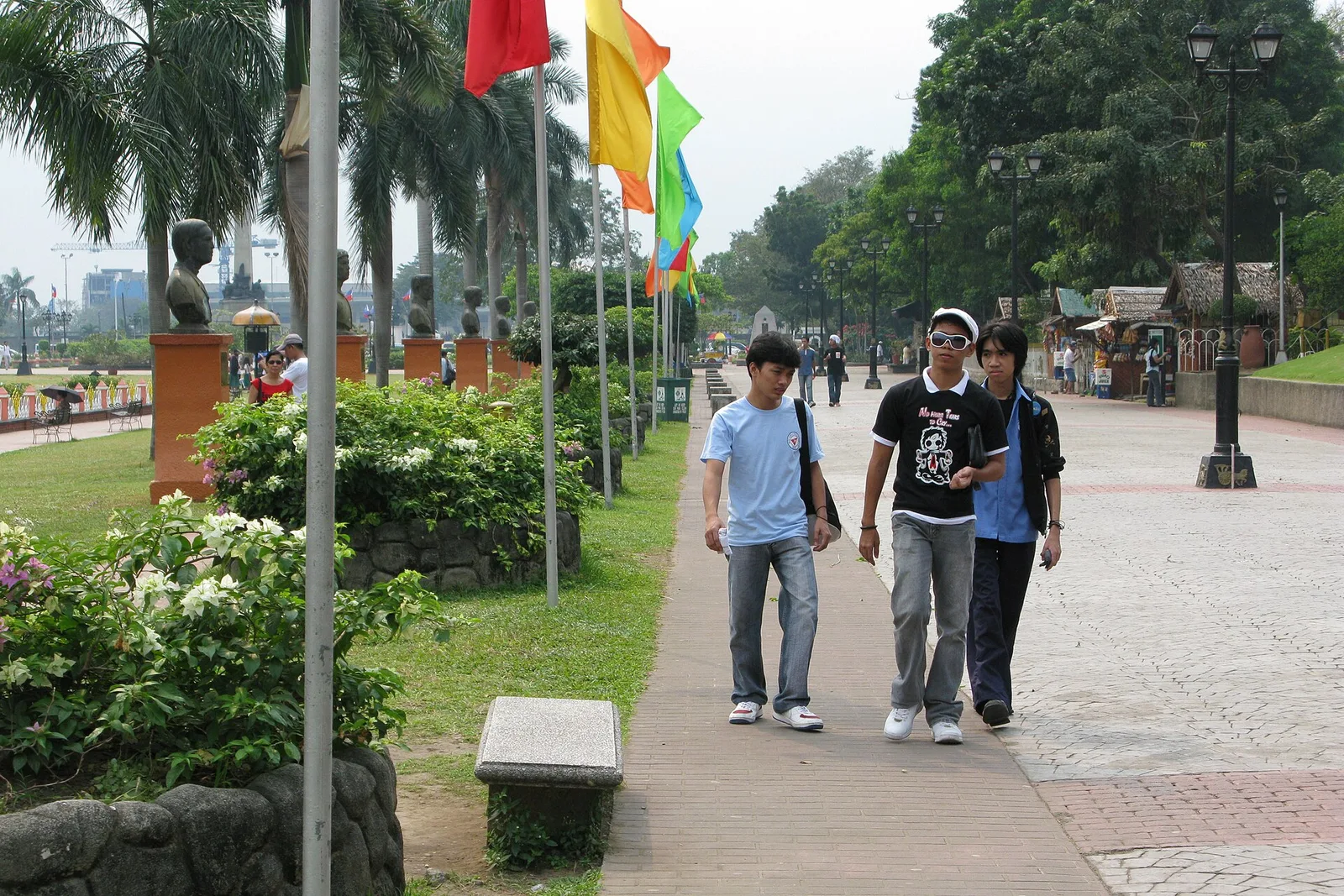
The park around the monument to José Rizal, where he was executed in 1896. It covers 58 hectares in Ermita, next to Intramuros and facing the eastern shore of Manila Bay. Rizal's remains lie in the stone base of the …
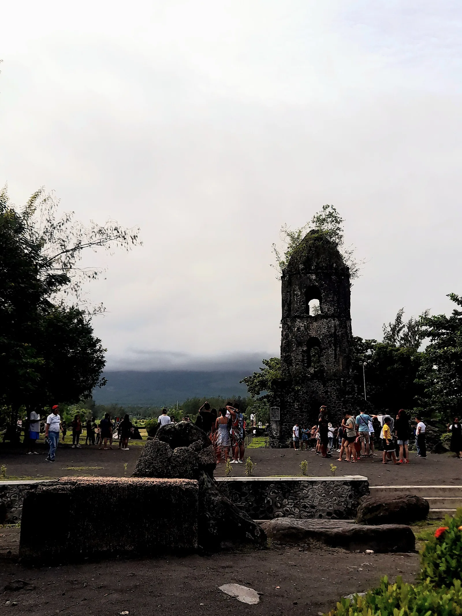
The bell tower left standing after the 1814 eruption buried the church, and the classic view of Mayon behind it. The Franciscans built the first church here in 1587, in the town of Cagsawa. Dutch pirates burned it in 1636, …
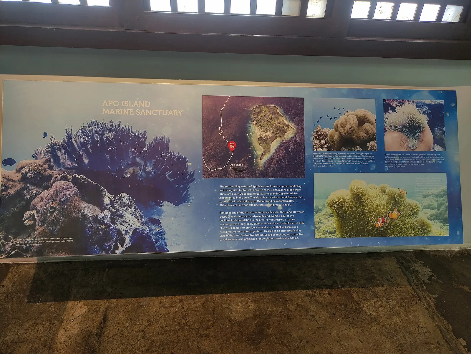
A community-run marine sanctuary about 45 minutes by boat, with turtles and a hard coral garden. The island is volcanic and covers 74 hectares, 7 kilometres off the southeastern tip of Negros and 30 kilometres south of Dumaguete. Apo means …
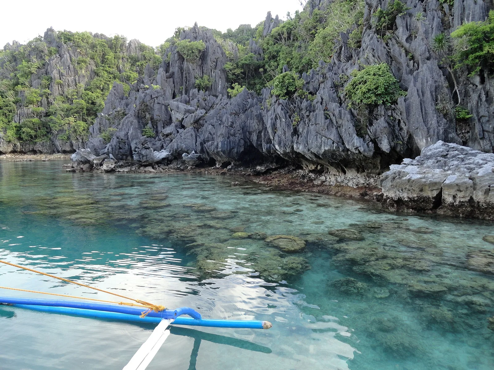
Reached through a gap in the rock, quieter and best early before the boats arrive.
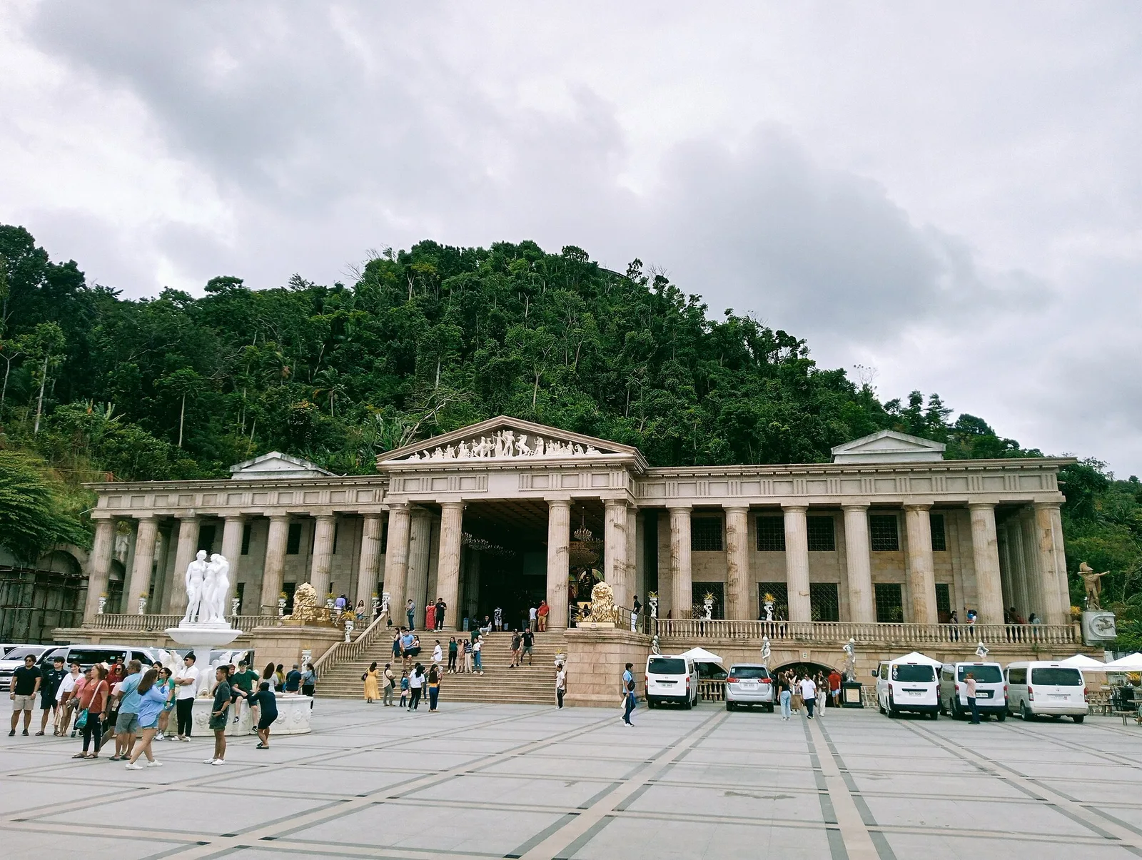
A hilltop Roman-style temple built as a memorial, with a long view over the city.
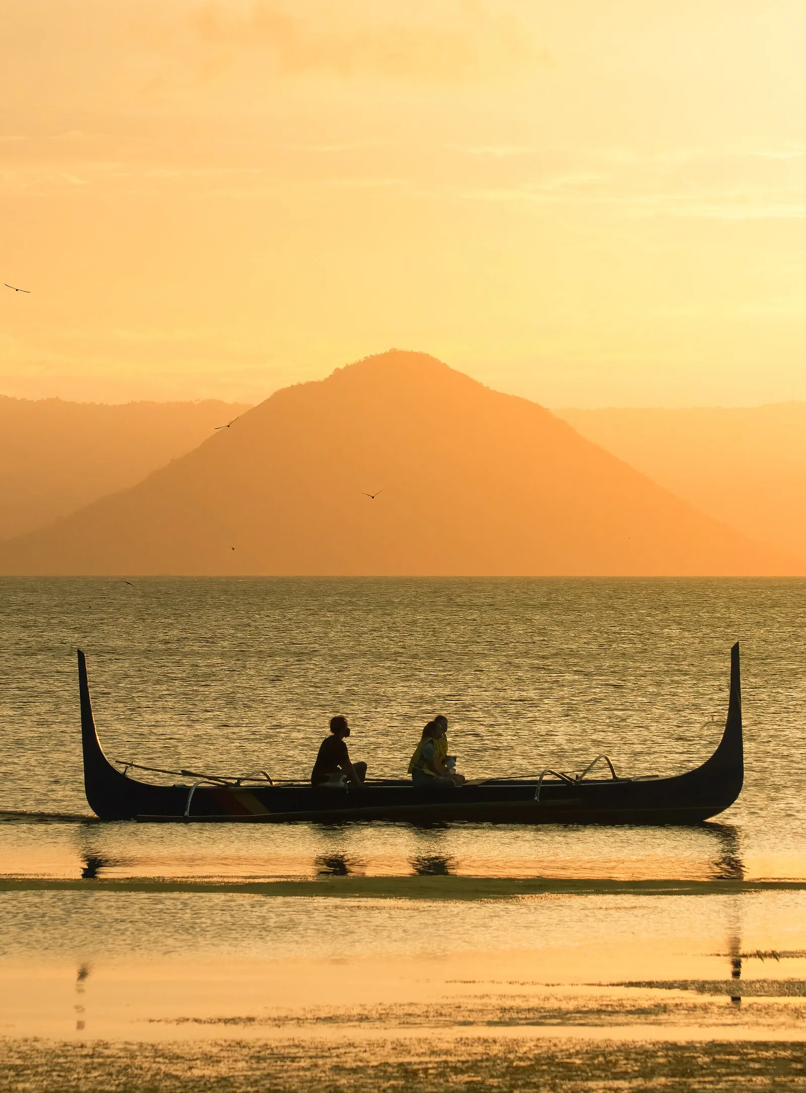
A large caldera filled by Taal Lake, and the second most active volcano in the country, with 39 confirmed historical eruptions. The eruptions centre on Volcano Island, near the middle of the lake. The caldera itself formed between about 670,000 …
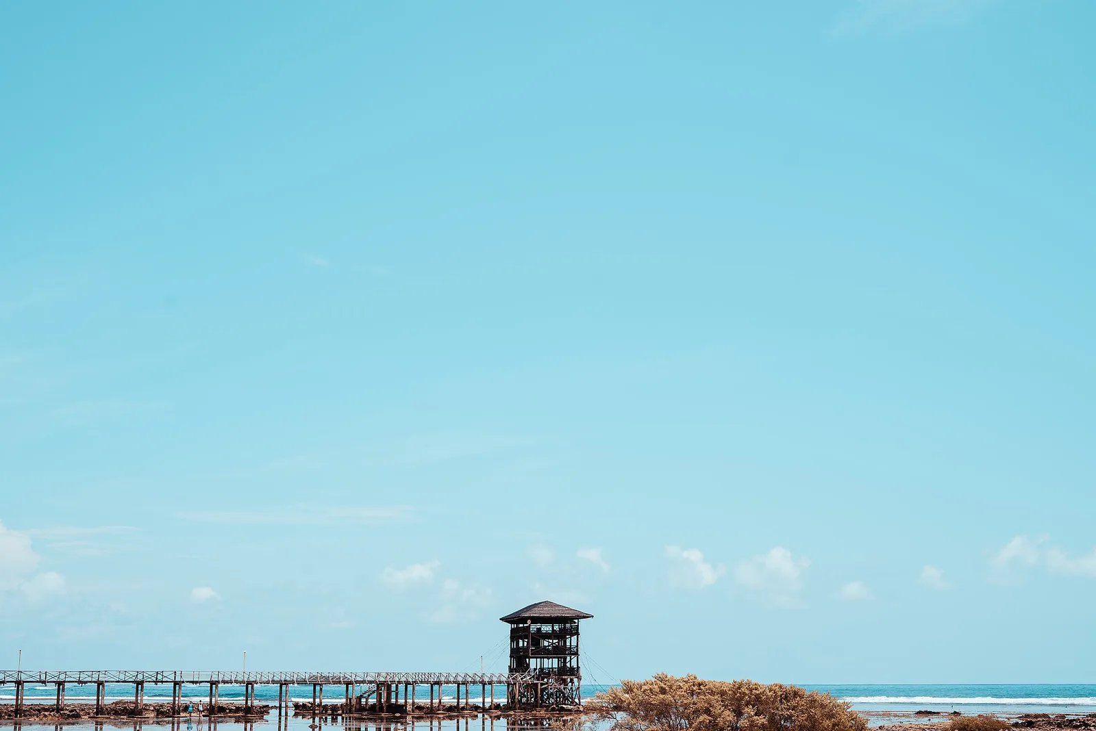
The reef break that made Siargao's name, with a boardwalk and tower over the wave. Best from August to November. The waves brought General Luna its reputation as the surfing capital of the Philippines, and they draw national and international …
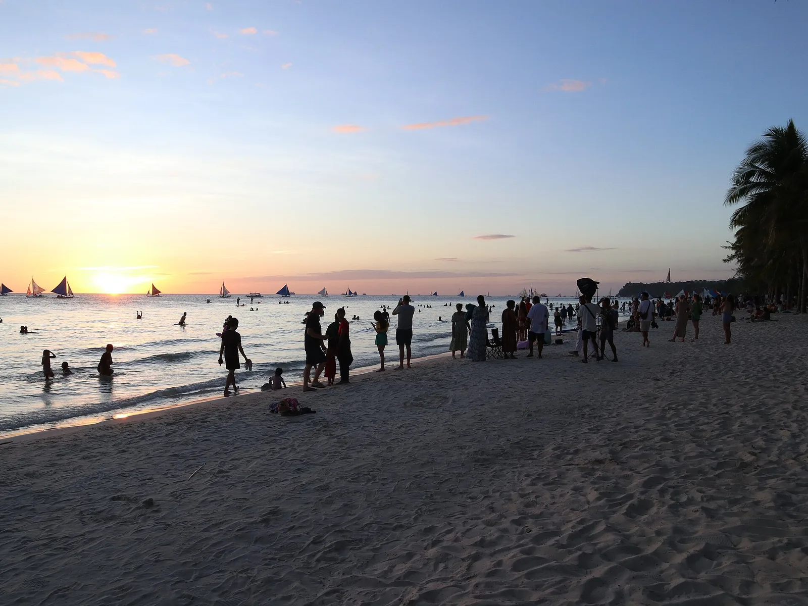
Four kilometres of fine white sand divided into three stations, with the sunset at the north end.
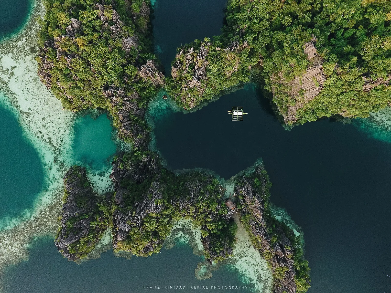
Two lagoons joined by a gap under the rock, where cold fresh water meets warm salt water.
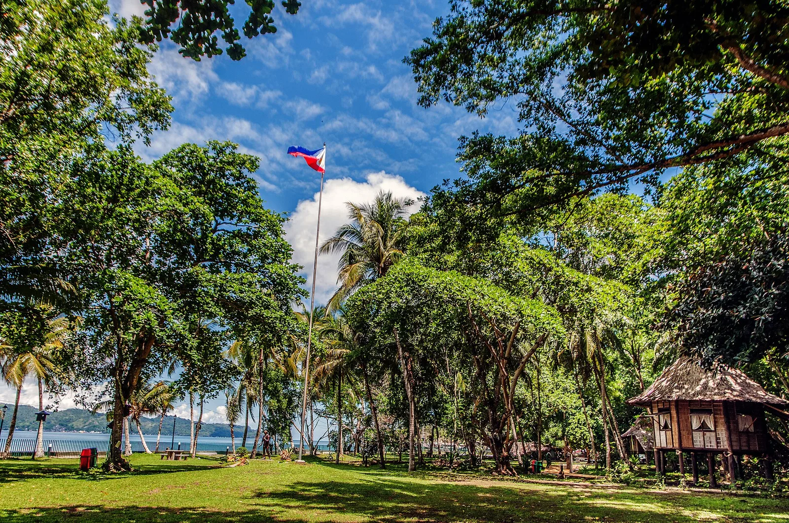
The farm where Jose Rizal spent four years of exile, from 1892 to 1896, kept as a park on a hilly peninsula that faces Dapitan Bay. It is about one kilometre northwest of the city proper, in Barangay Talisay. The …