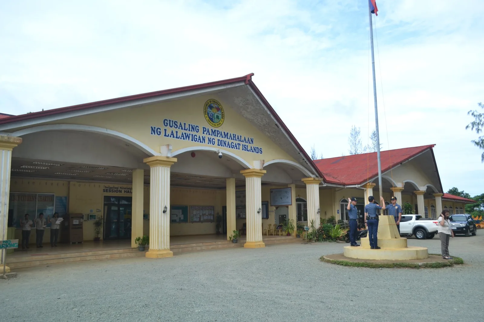
Dinagat Islands People's Hall
The provincial government's hall, finished in 2024, with a design based on the Japanese Yamato-class battleship of the Battle of Surigao Strait in World War II.
Island group · 6 regions
The provincial government's hall, finished in 2024, with a design based on the Japanese Yamato-class battleship of the Battle of Surigao Strait in World War II.
A waterfall of many tiers in the forest at New Tubigon, a far barangay of Sibagat, and one of the places people visit in that town. Local belief holds it to be the longest running waterfall in the region. The …
The largest wetland in the Philippines, and the biggest marsh in Southeast Asia, spread across the middle of the Agusan River basin. It holds nearly 15 percent of the country's fresh water in swamp forests. Manobo families live deep inside …
The highest peak in Caraga at 2,012 metres, climbed each year on trips that trekkers and mountaineers organise. There are also organised climbs up Mount Mas-ai, a plateau at Putting Bato with a lake on top.
A museum of Islamic art and Moro culture in a white building in Marawi, a city on Lake Lanao where the Maranao people are the main inhabitants. It holds the biggest Filipino Muslim collection in the country. The collection covers …
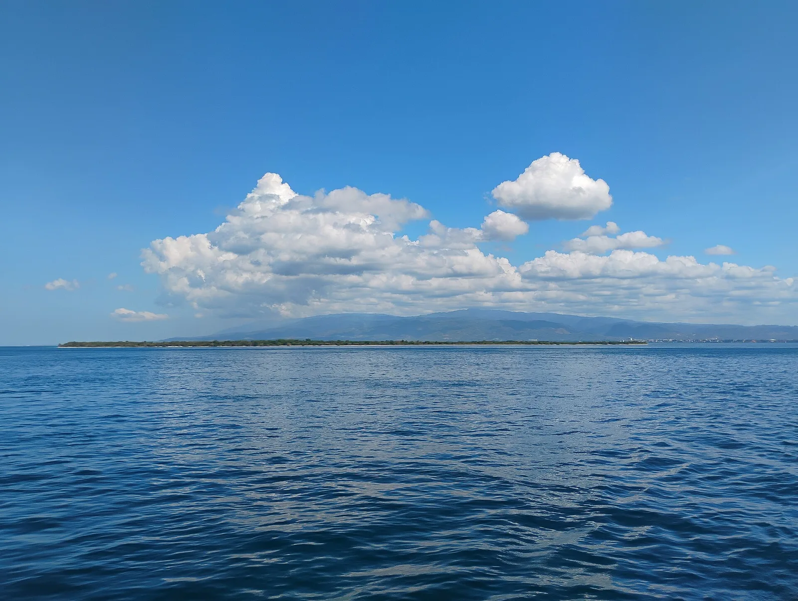
A beach of pink sand on an island off the city. National Geographic listed it in 2018 among the "World's 21 Best Beaches", and arrivals that year reached almost 100,000. A day trip to the island also takes in the …
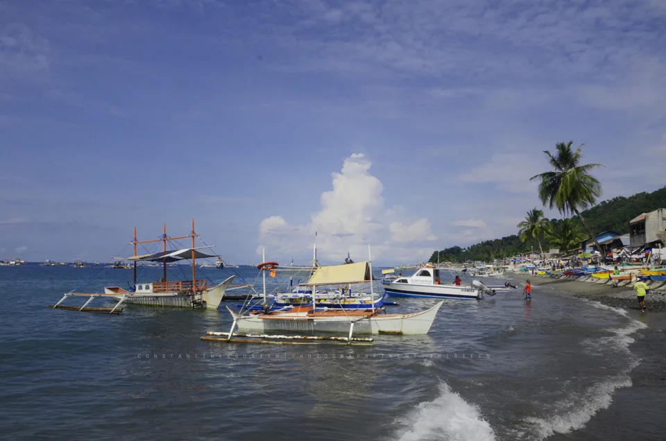
Four coves of coral reef closed to fishing, on the coast of Kiamba. Only one of the coves, Tuka 2, is open to the public.
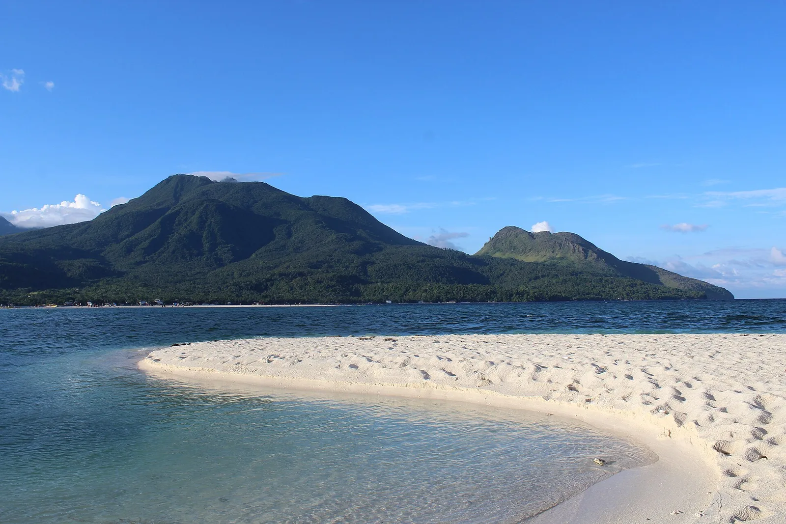
One of the country's active volcanoes, a stratovolcano 1,332 metres high on the Pacific ring of fire, also known as Catarman Volcano. It has six hot springs and three craters. The eruption of 4 December 1951 destroyed nearly 19 square …
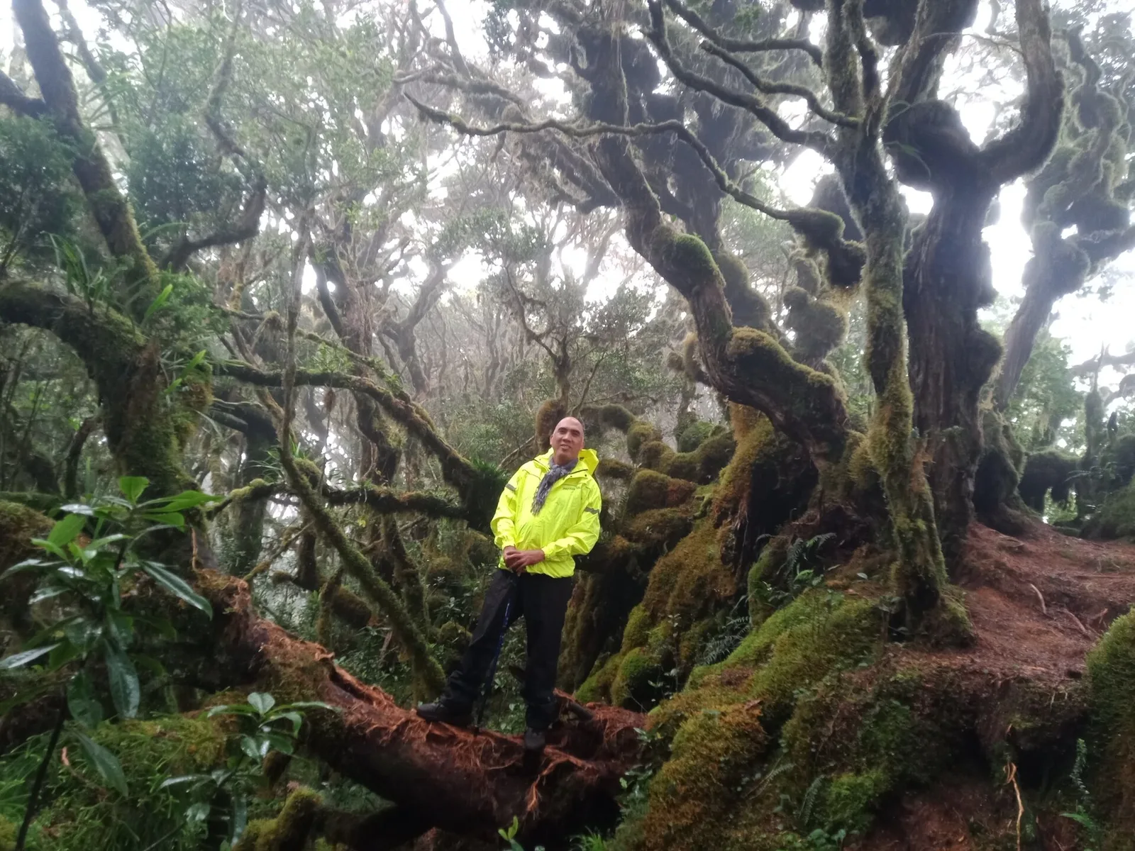
The second highest mountain in the country at 2,938 metres, in the Kitanglad Mountain Range. Indigenous people of Bukidnon hold it sacred, and it stands inside their ancestral domain. You must get permission from the Talaandig tribal leaders of Lantapan …
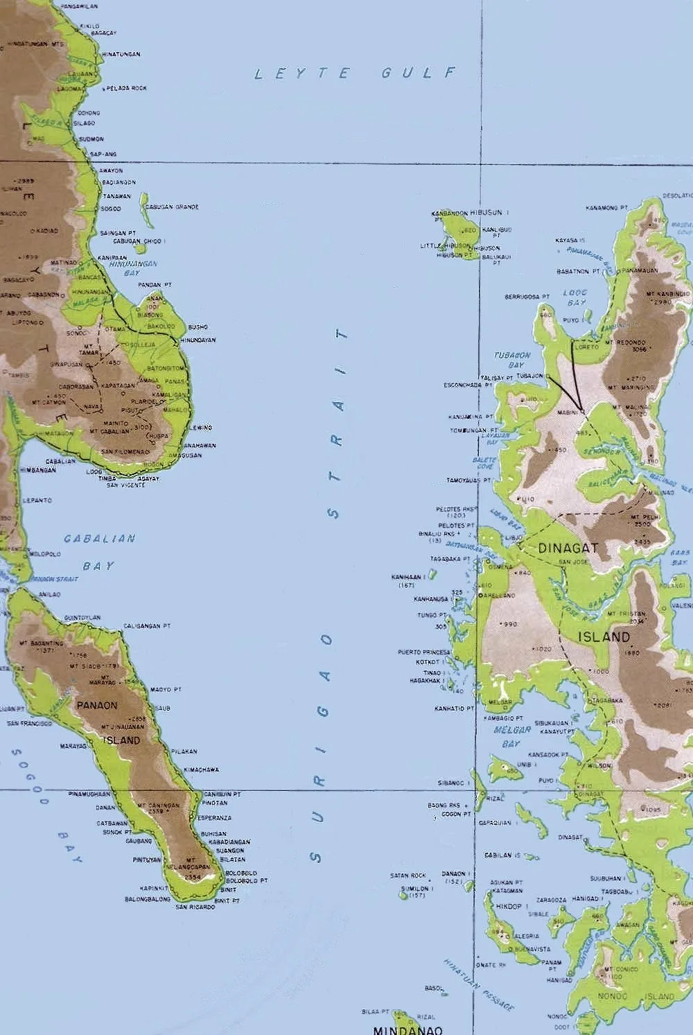
A Waray-speaking island at the north end of Surigao Strait, where the strait meets Leyte Gulf. It lies northwest of Dinagat Island and belongs to the municipality of Loreto. With the smaller Little Gibusong next to it, the island makes …
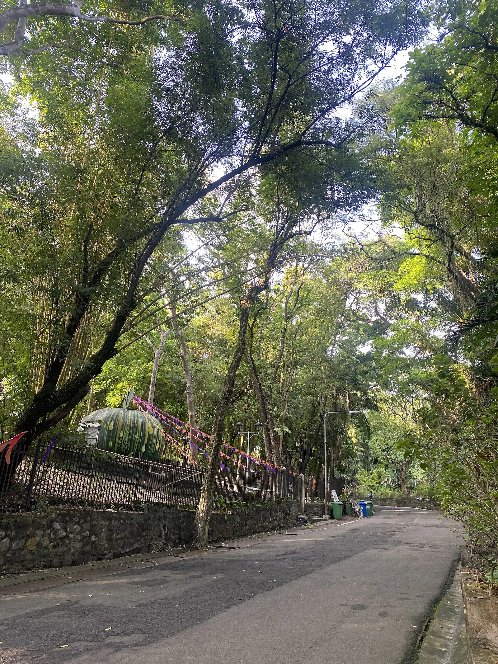
Traversed by a gently rippling stream, this park is the only one of its kind in the country. It abounds with trees, flowering plants, ferns, shrubs and 600 different species of orchids. Mindanao Governor John J. Pershing started the construction …
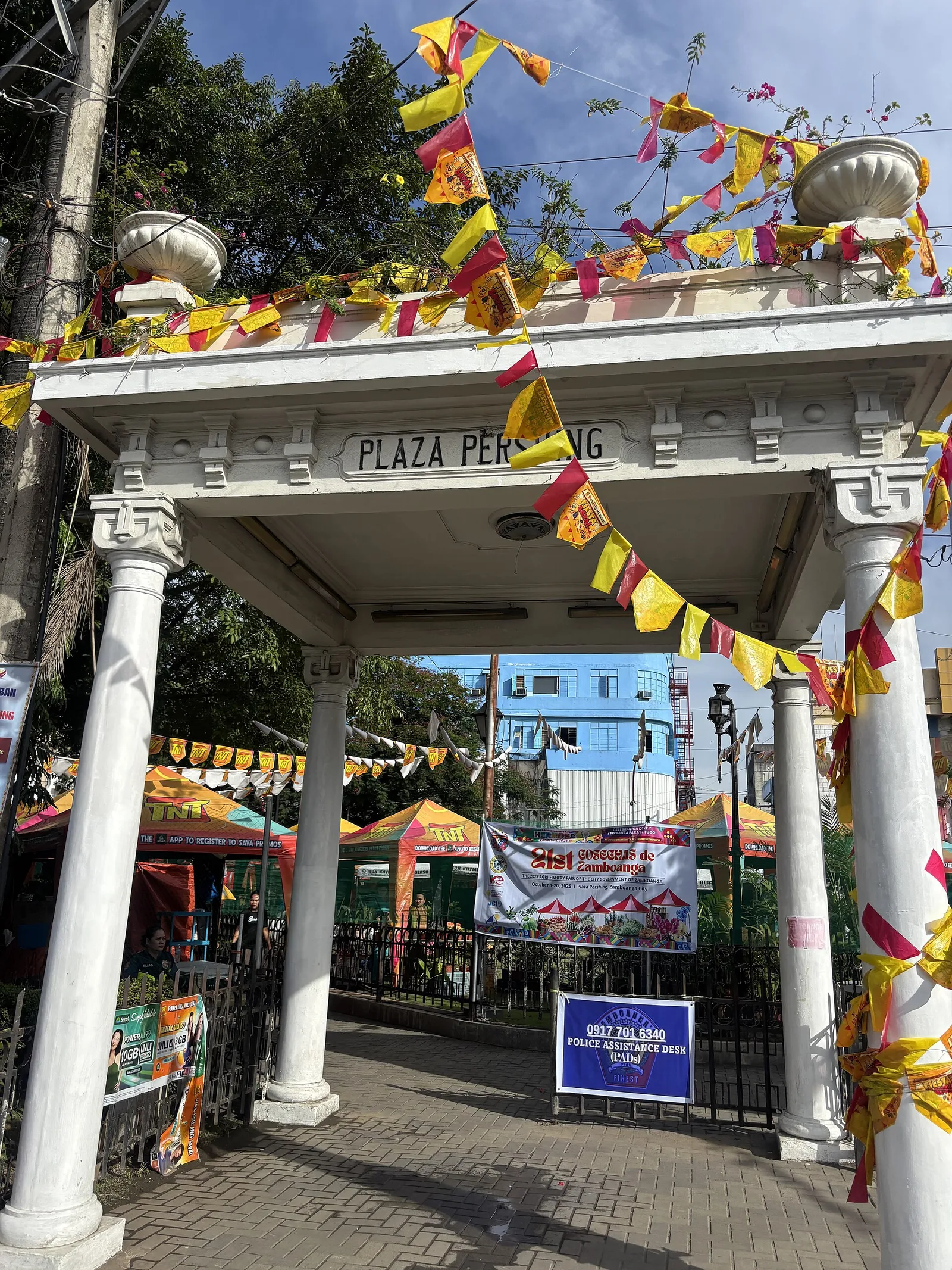
Plaza Pershing honors American general John Joseph "Black Jack" Pershing (1860 –1948) who defeated Muslim insurgents in the region.
Papa Bulls in the swampy mangrove area within the municipal complex of the Municipality of Simunul. This crocodile is now a major tourist attraction where several people come to view it.
This resort offers access via steps to Pujada Bay for kayaking, swimming, and freediving. A small cafe offers simple drinks and meals. Tent camping and lodging also available
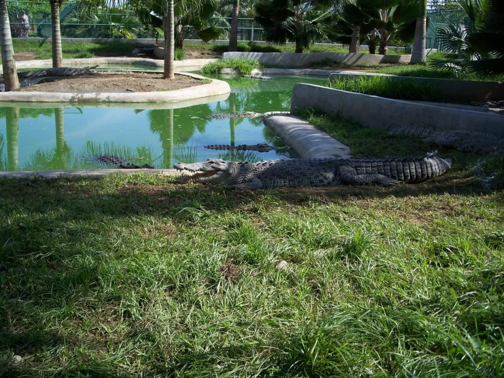
The park serves as a breeding center of crocodiles and houses also a small zoo, with daily animal shows on the central stage. Possibilities to feed crocodiles, tigers and some other animals for a fee. Ticket includes an entrance to …
The area surrounding the monastery is also the residence of several religious orders, including the Discalced Carmelites, as well as the St. John Vianney Theological Seminary. Carmelite Church contains an image of the Santo Niño, or Holy Child which is …
A lake of 40 hectares in the town of San Miguel, with forest land around it. It lies about 230 metres above sea level, and only Lake Wood is a larger mountain lake in the province.
A low-lying island in the Sulu Sea with white coral-sand beaches, known locally as Pulo Baliudyong. It measures more than 500 metres across at its widest point and sits on an oval reef about 1.6 kilometres long. The island lies …
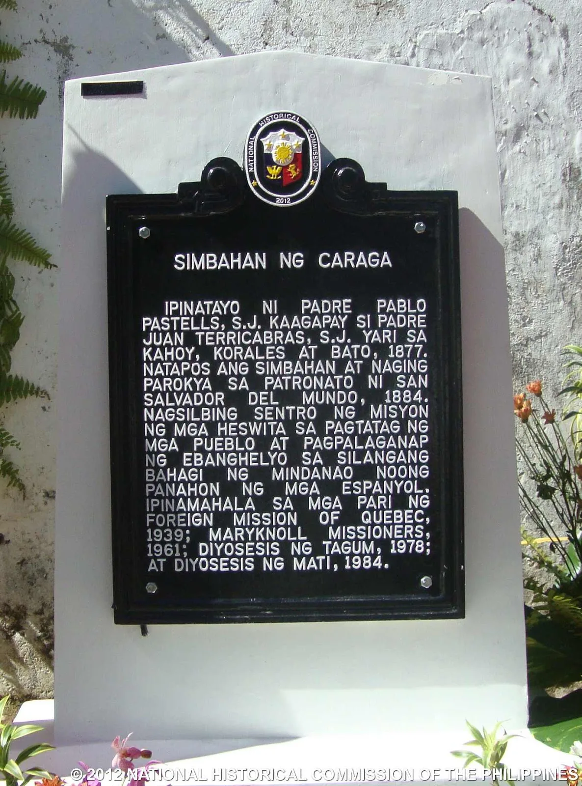
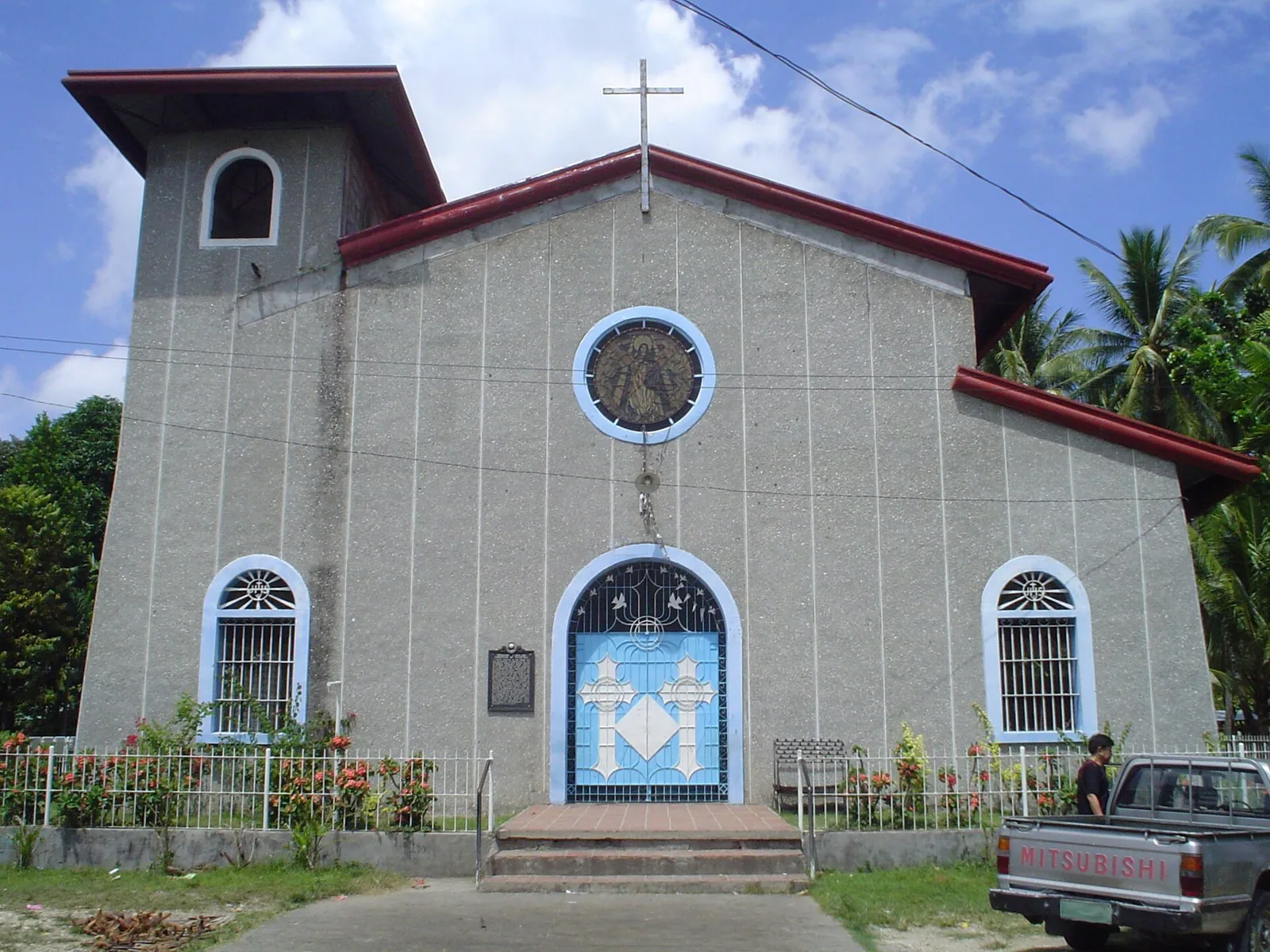
A stone and wooden church built in the Spanish period to serve as the mission station for the eastern side of Mindanao. The Jesuits took the parish over from the Augustinian Recollects in 1871 and began the building in 1877. …
Off the coast of the municipality of Sarangani lies an island named Sarangani Island, within Davao Occidental province.
A man-made lake with a boat tour and a floating cottage on the water, used for picnics and for fishing.
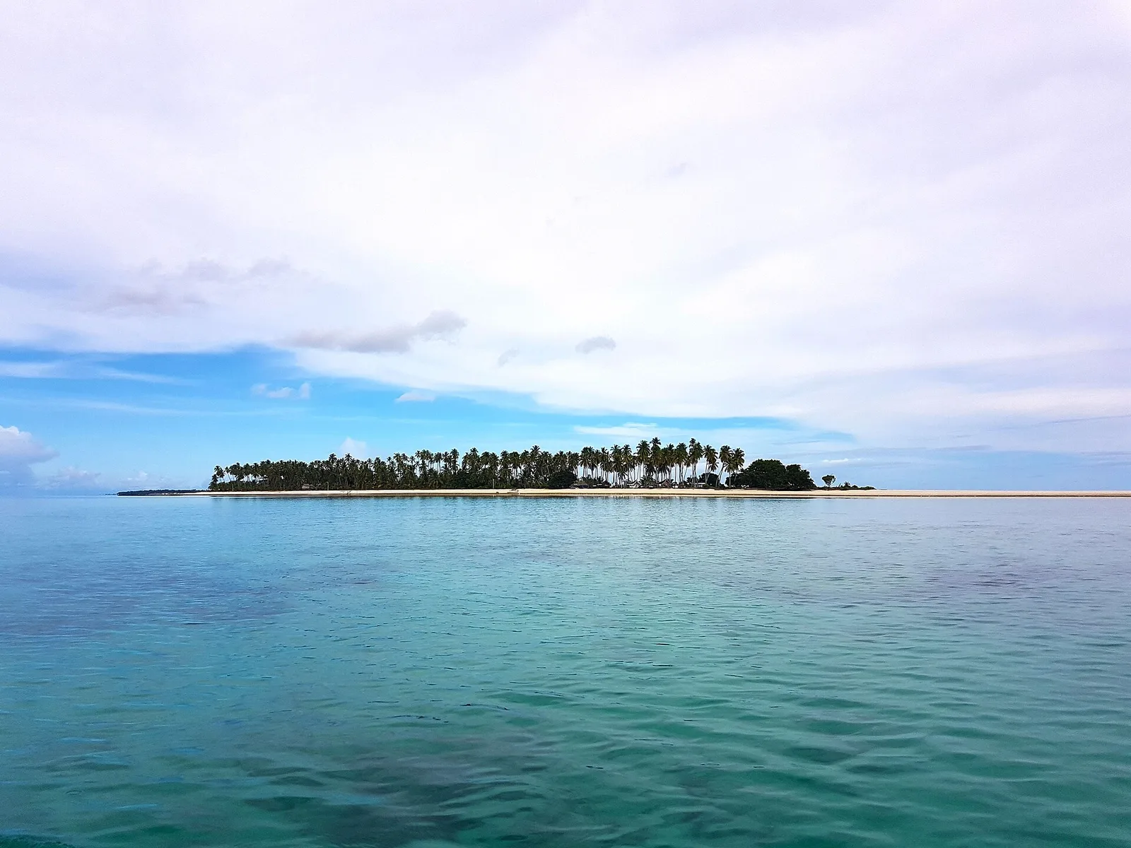
A small island in the Sulu Archipelago, off Sapa-Sapa, with what counts as the longest sandbar in the Philippines: the bar runs 3,128.37 metres. The island itself covers only 0.1 square kilometres and sits inside Basibuli Shoal. The beach is …
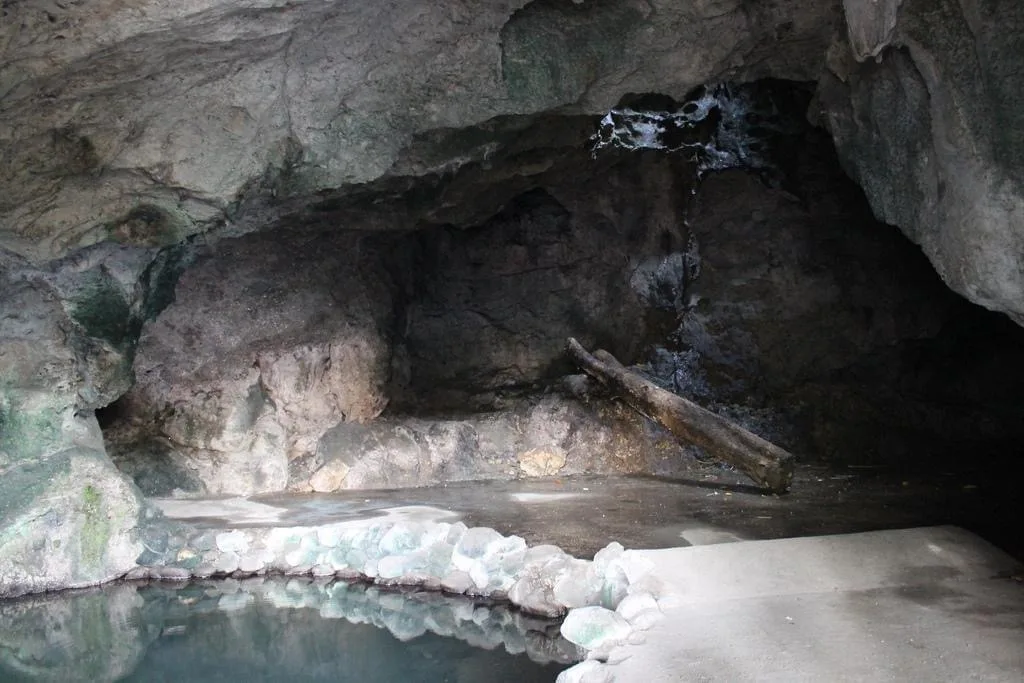
A cave system inside the city proper, at the foot of Pedro Colina Hill. It gave the city its name: kuta means fort and wato means stone, so Kutawato is the fort of stone. Hidden passageways run underground, and one …
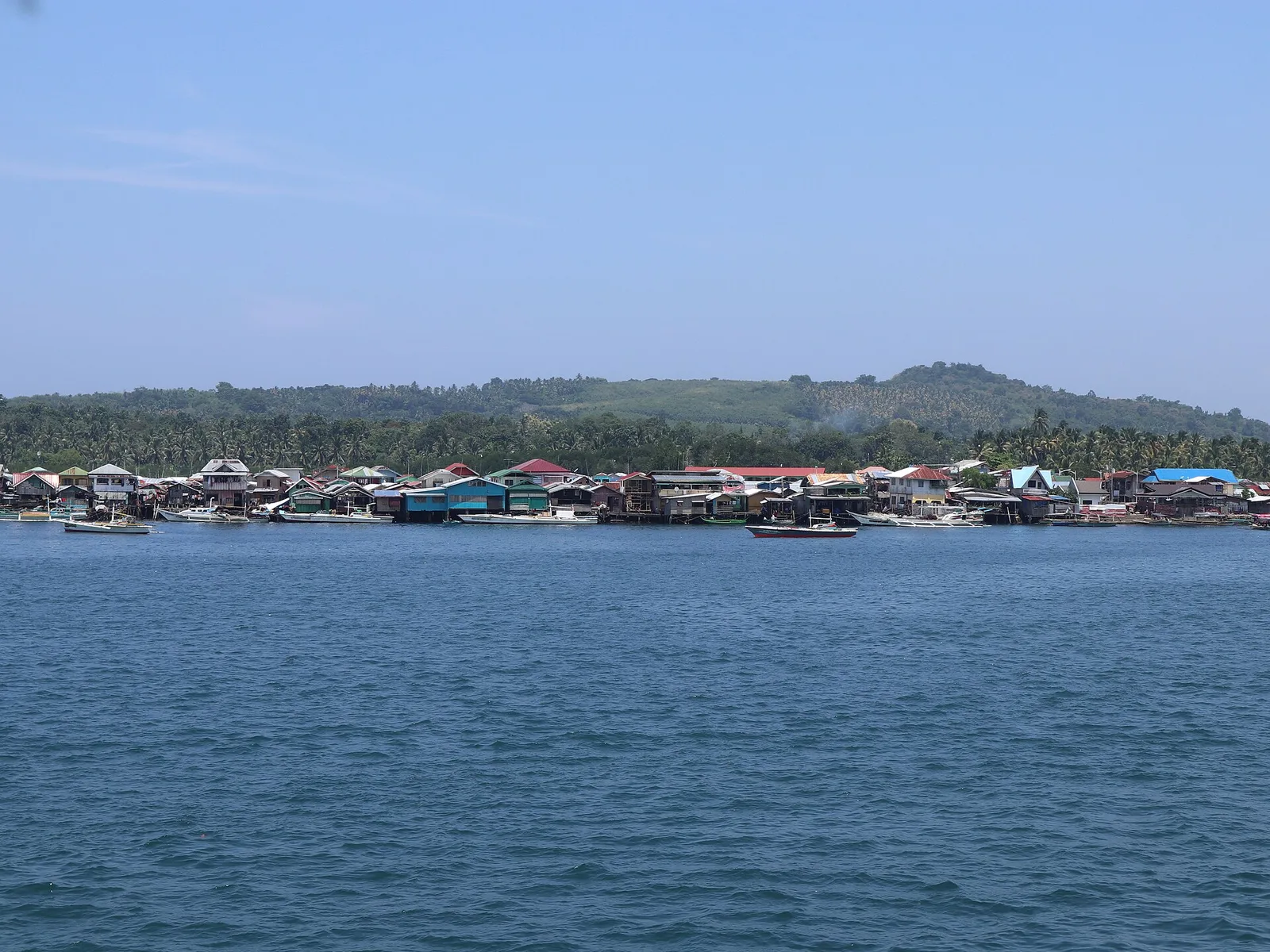
Off the coast of Isabela City lies Malamawi Island, in the province of Basilan.
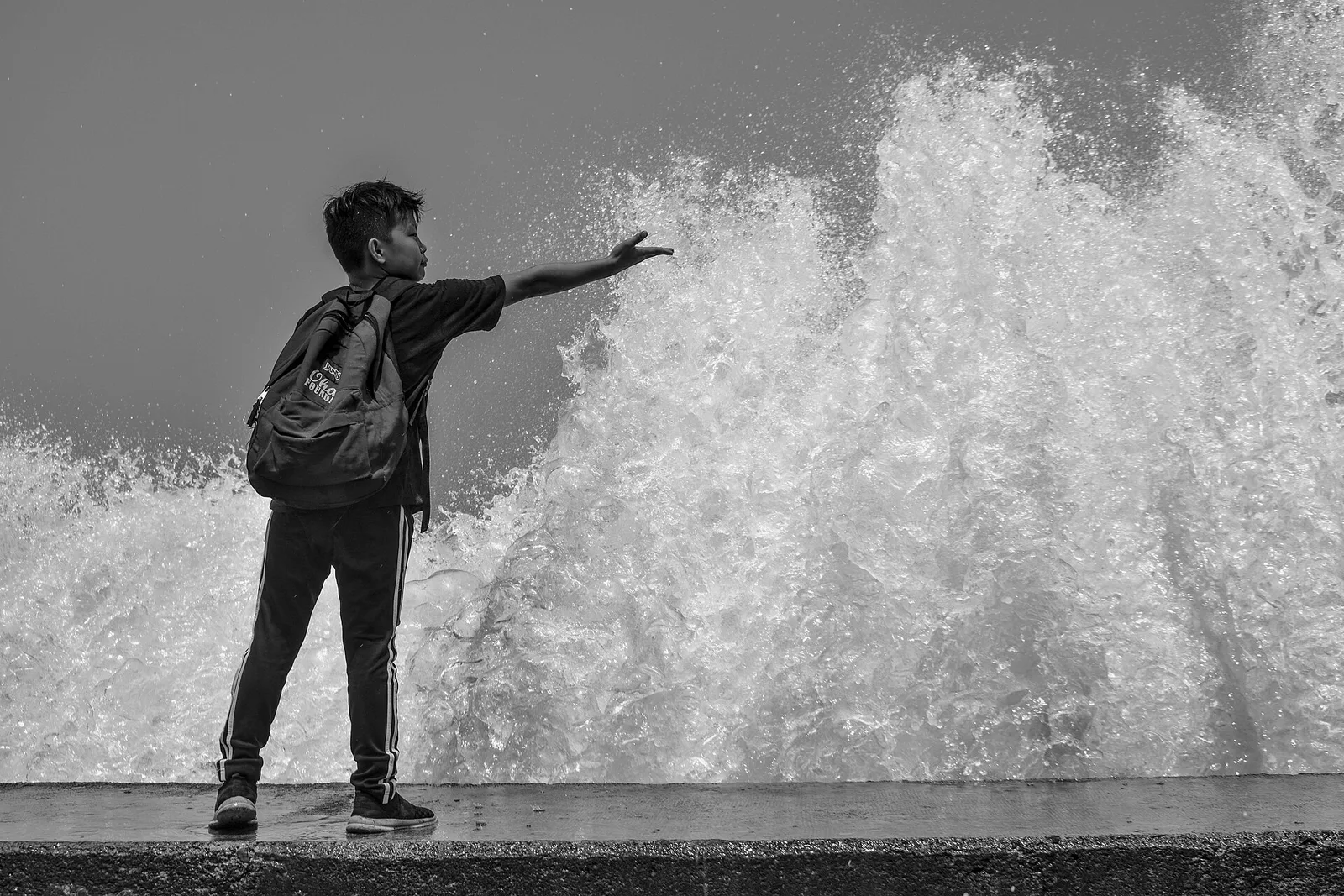
A seafront walk of 3.6 kilometres, from Barangay Central to Barangay Miputak and on to the city port at Barangay Galas. Its official name is the Foreshore Development and Wellness Center. Along it are basketball courts, a playground, restaurants and …
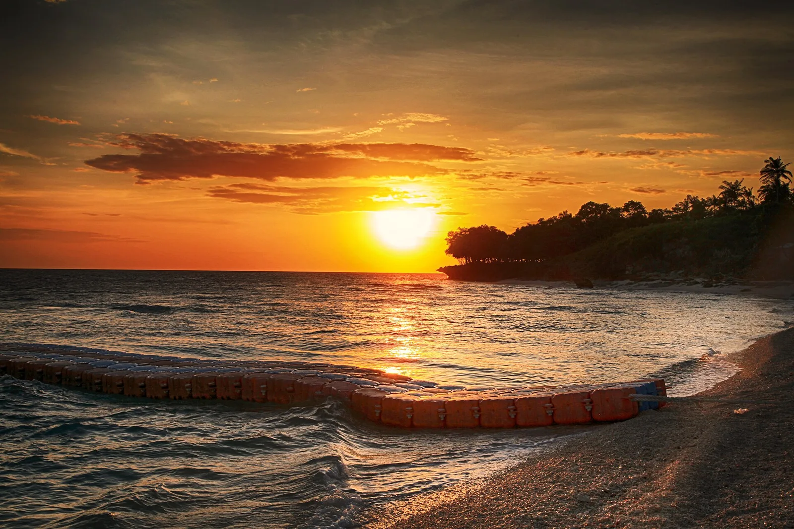
An island barangay of Dapitan with white sand beaches and coral reefs, kept as a marine sanctuary. The island has no water source, so carry your own. Few people live there, and most of them sell fish to visitors.
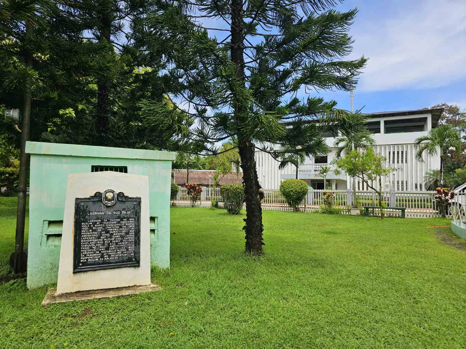
A cinder cone on the island of Jolo and the second highest point in Sulu, at more than 600 metres. The volcano is extinct and belongs to the Jolo Volcanic Group. It is a sacred mountain for the Tausug people …