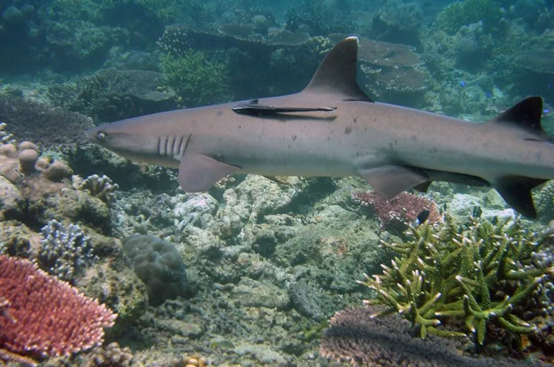
Tubbataha Reef
Two coral atolls and a smaller reef in the middle of the Sulu Sea, 150 kilometres southeast of Puerto Princesa. The park covers 97,030 hectares, and UNESCO listed it as a World Heritage Site in 1993. One wall of coral …
Island group · 8 regions
Two coral atolls and a smaller reef in the middle of the Sulu Sea, 150 kilometres southeast of Puerto Princesa. The park covers 97,030 hectares, and UNESCO listed it as a World Heritage Site in 1993. One wall of coral …
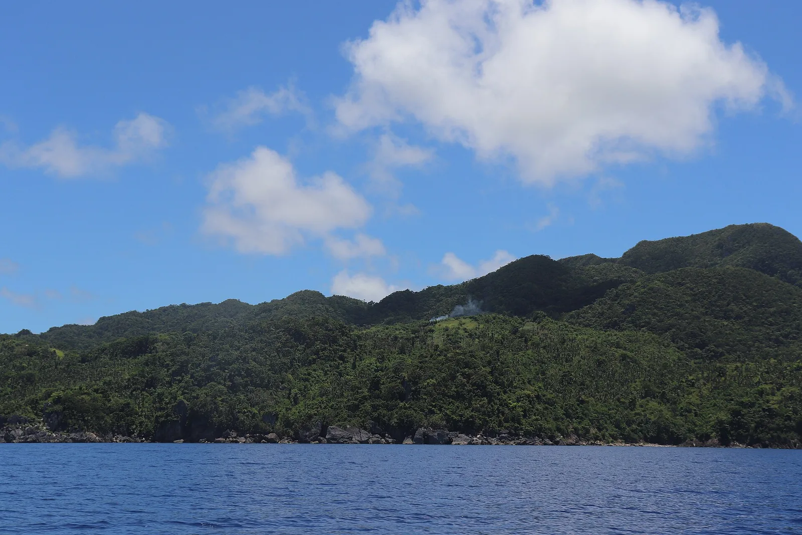
A national park of 347 hectares with white sand beaches, limestone formations, caves and a subterranean river. There is also a lake on an islet inside it. The park sits on the Caramoan Peninsula, a hilly headland of deep gorges …
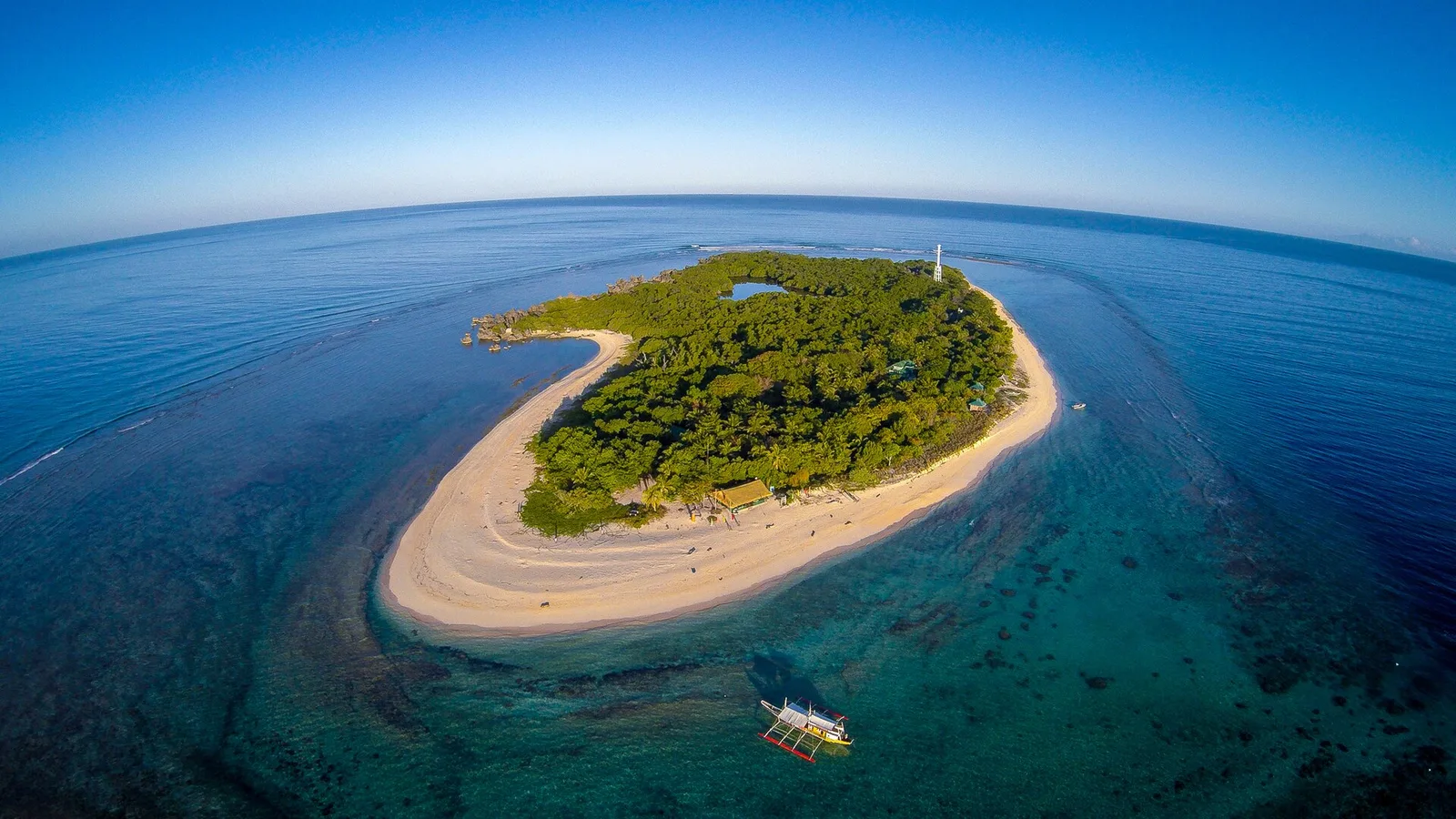
A coral reef park in the middle of the Mindoro Strait, west of the province. The shallow reefs there are dangerous to shipping, so a light station went up on Bajo Apo Island inside the park to warn ships off …
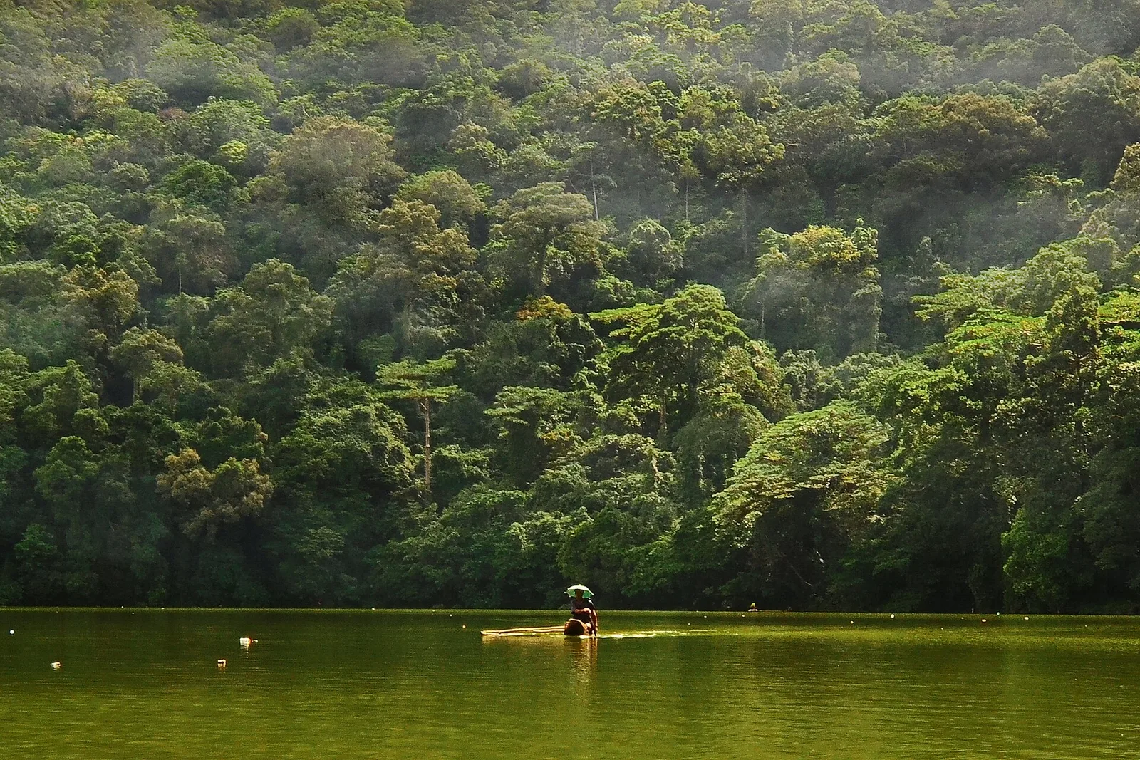
Protected rainforest around Mount Bulusan, 3,673 hectares of it, in the south central part of the province. Bulusan Lake and Lake Aguingay sit inside the park, along with two more peaks, Sharp Peak and Hormahan. Five towns share its boundary: …
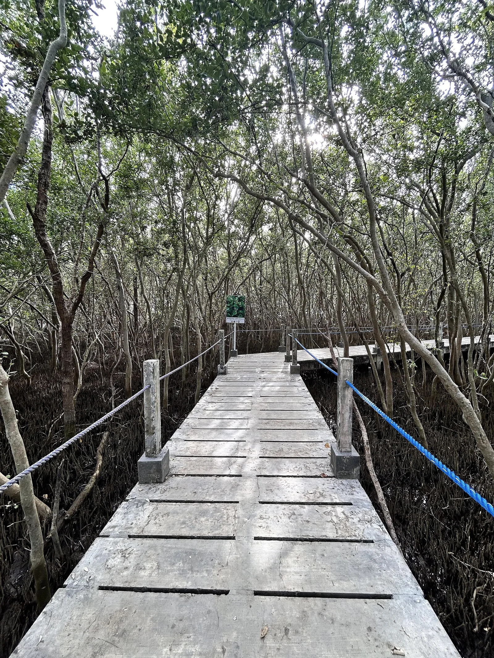
An 11-hectare wetland park in Barangay Tortugas, on the East Asian-Australasian Flyway. Tet Garcia and Michael Lu, president of the Wild Bird Club of the Philippines, founded it, and it has been the site of the Ibong Dayo festival since …
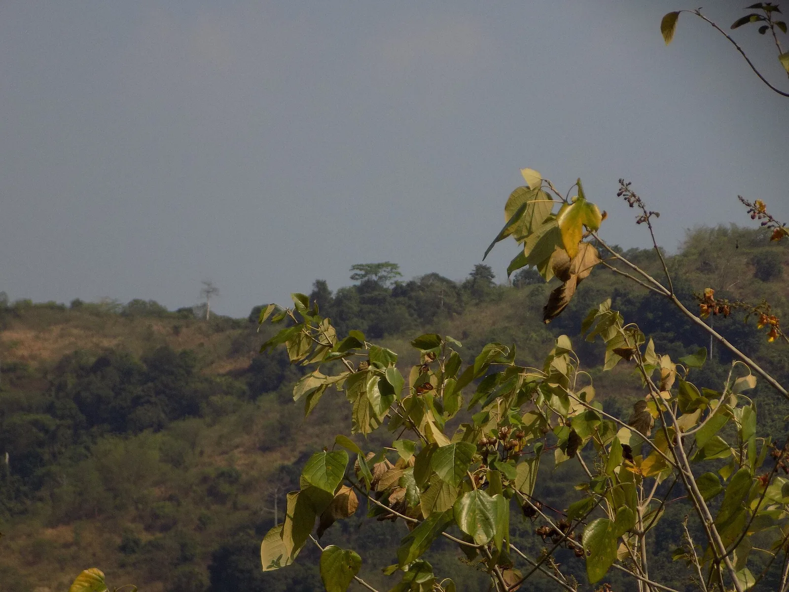
A protected forest in the mountainous interior of northern Bataan. People come to watch birds and wildlife and to trek to the peaks and waterfalls inside it. Pasukulan Falls and Dunsulan Falls are both here, along with ground orchids and …
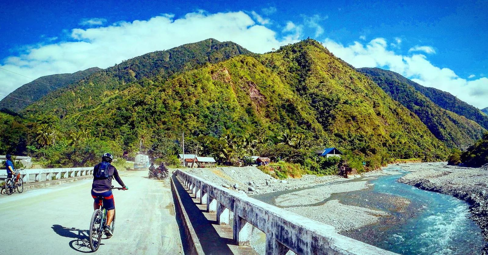
A protected area in the Sierra Madre mountain range, on the boundary between Aurora and Nueva Ecija. It covers 5,676 hectares and stretches more than 50 kilometres along the Bongabon-Baler road, rising to 1,000 metres. The forest is mostly lowland …
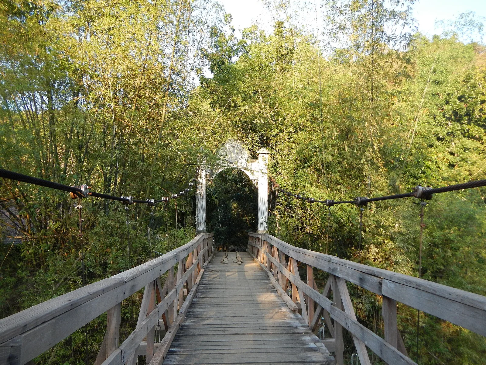
A park of caves, rivers and trails in the hills of San Miguel, 80 kilometres northeast of Manila. The park is the site of the Republic of Biak-na-Bato, and President Manuel L. Quezon made it a national park in 1937 …
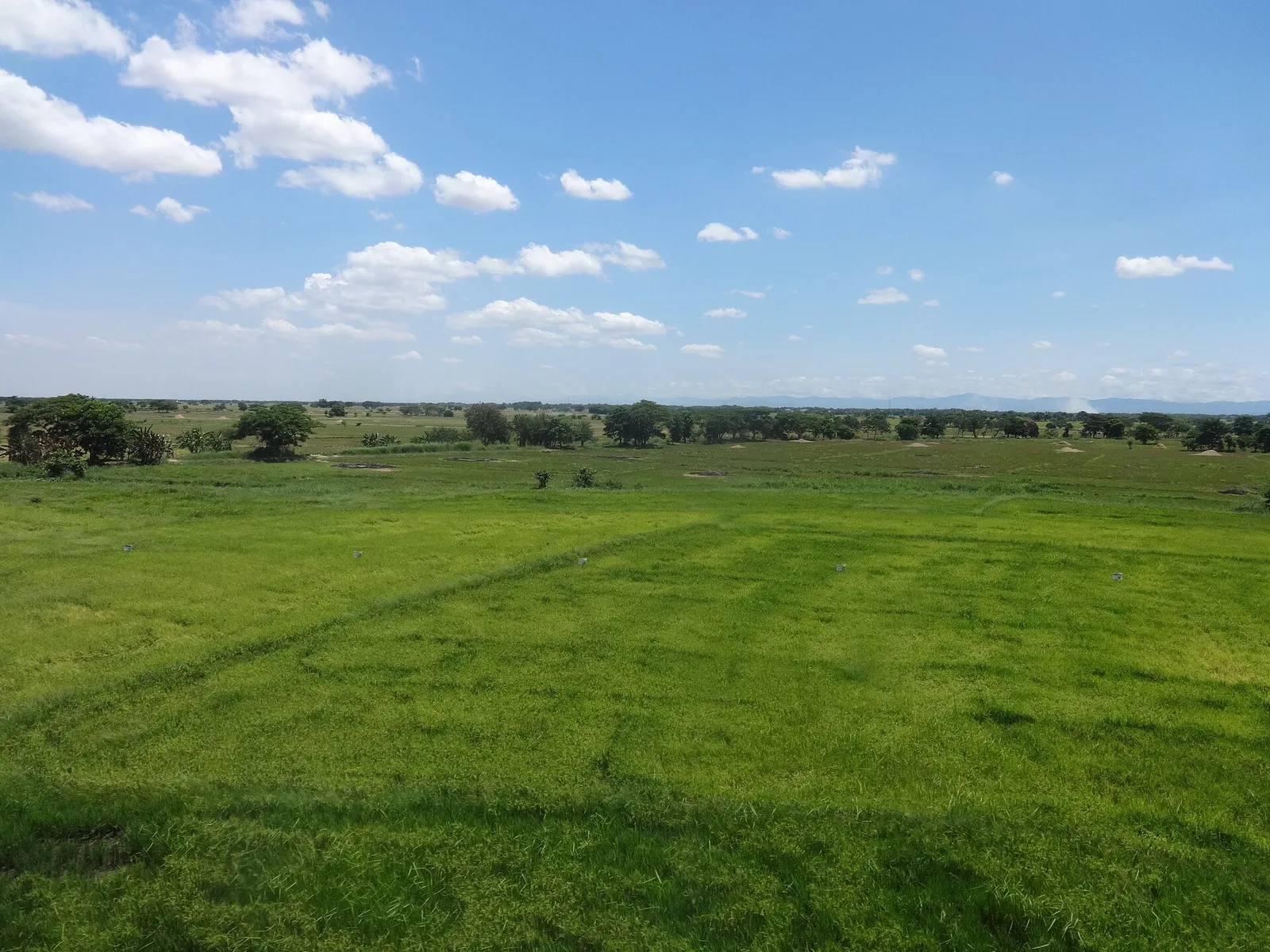
A wetland of about 32,000 hectares of freshwater ponds, marshes and seasonally flooded grassland, 60 kilometres northeast of Manila. The whole area goes under water in the wet season, and it works as a flood basin for five smaller rivers …
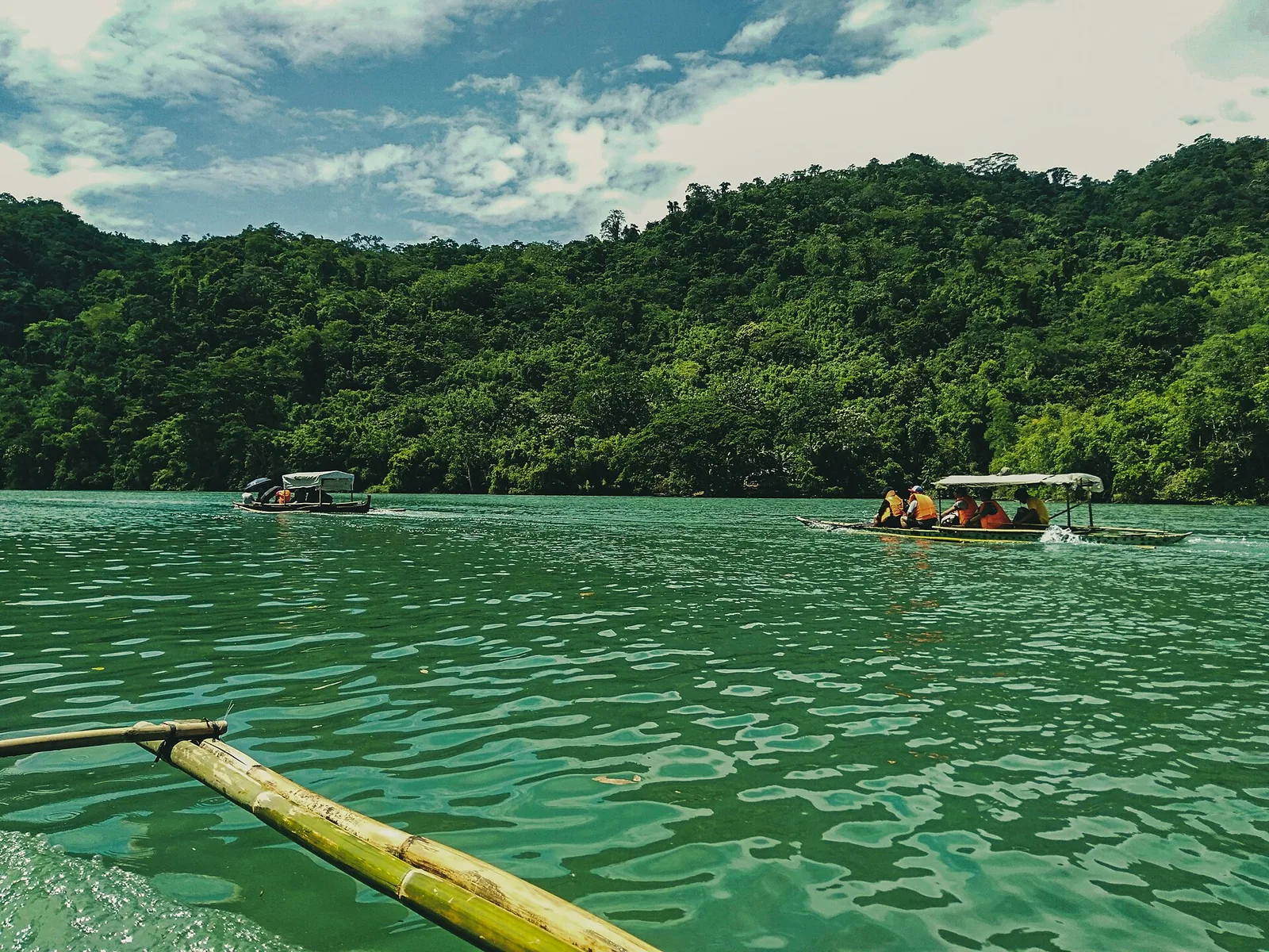
A forest reserve in the southern Sierra Madre, part of which reaches into the city. It protects the basin that drains into the Angat River: 62,309 hectares between 490 and 1,206 metres above sea level, holding most of the closed-canopy …