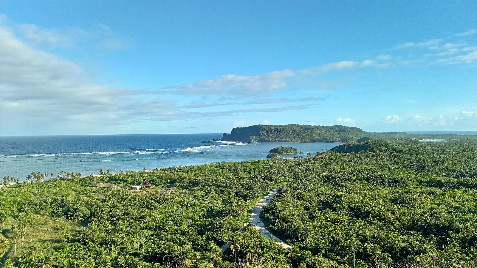
PAGASA Radar Station
A sophisticated weather forecasting instrument. One of the PAGASA stations in the country. Located on top of a hill, and offers a panoramic view of the town, the Leyte Gulf and the vast Pacific Ocean.
Region in Visayas · 7 provinces and cities
A sophisticated weather forecasting instrument. One of the PAGASA stations in the country. Located on top of a hill, and offers a panoramic view of the town, the Leyte Gulf and the vast Pacific Ocean.
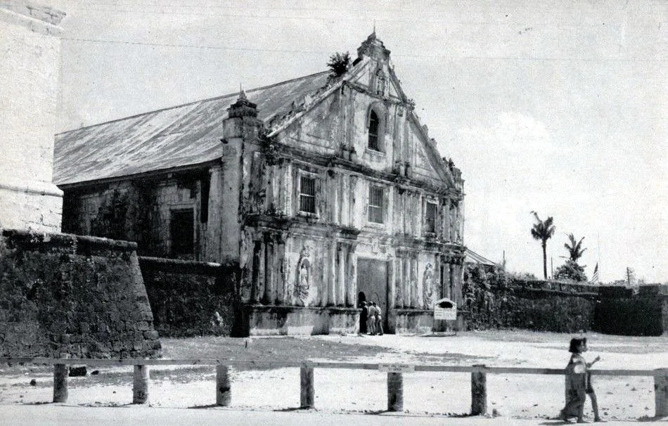
The most beautiful church in the island of Samar. Built solely by manual labor, this edifice of adobe stone is indeed a cultural heritage. Inside, one can find uniquely carved icons as a Spanish Baroque altar. This 400+-year-old Catholic church, …
It is separated from the mainland by the Silangan Channel. A series of towering altars of rugged stones where between its depressions flow ribbon-like cool water that appears to cleanse the hair of a legendary lady. A source of drinking …
Its large entrance leads to a natural tunnel with an uneven ceiling, some portions of which touching your head making for an eerie trip through the dark, cool interior.
Aside from enjoying the picturesque view from the top of Bantayan Cliff, you can also do rappelling with your friends and families at Bantayan Cliff which is a 10-minute trek from the jump-off point of the island.
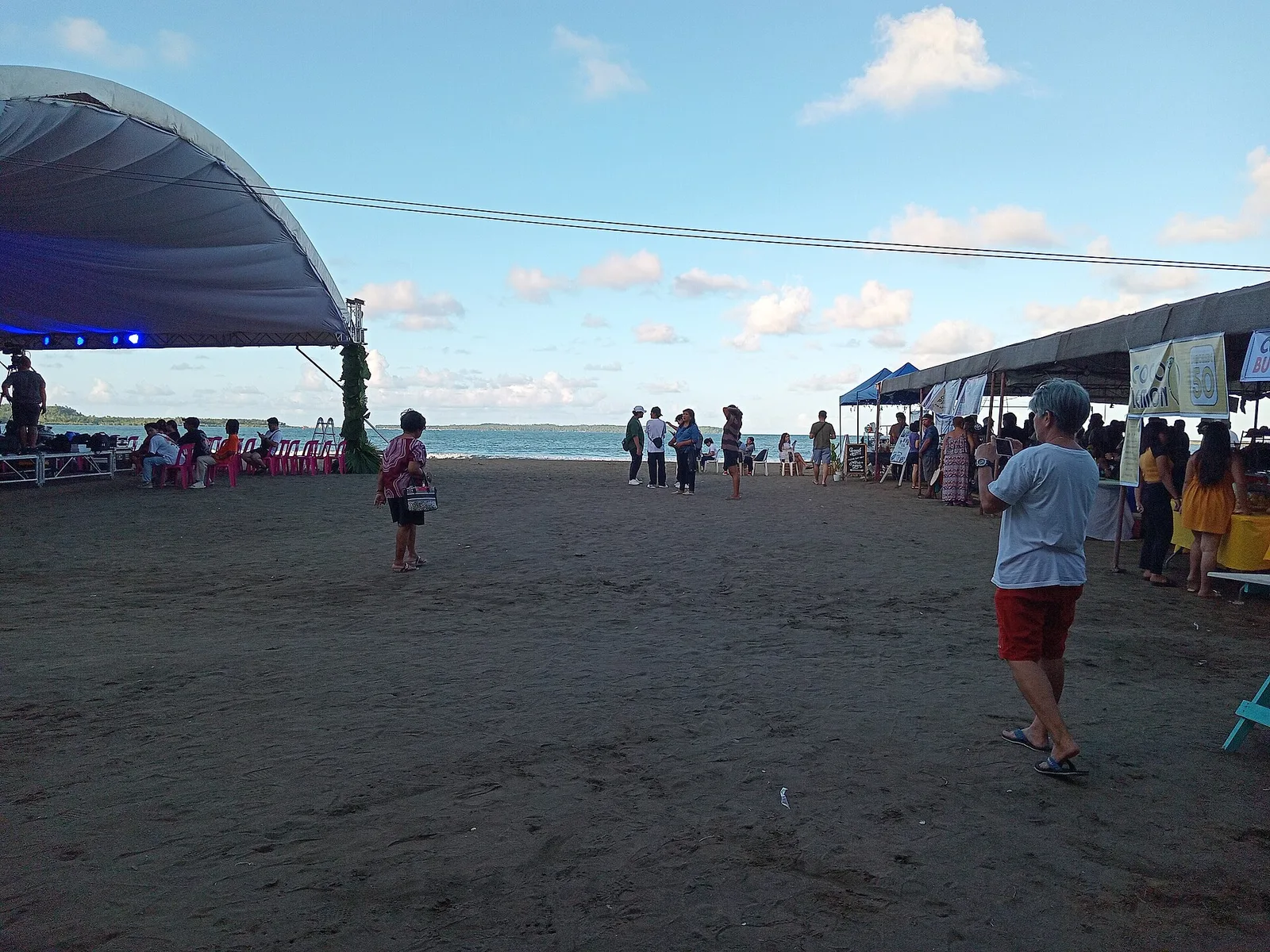
A river called Canturing runs through the site that became Maasin City in Southern Leyte, and it gave the city its name. Spanish soldiers once stopped there looking for drinking water and asked local people, in Spanish, what village this …
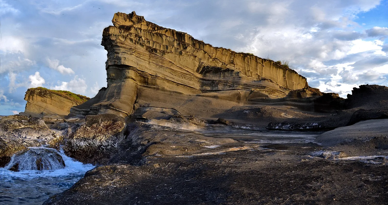
Islands, reefs and rock formations under protection, about 40 kilometres west of Catarman. The area covers the island municipality of Biri and the rest of the Balicuatro Islands, plus the coast of Lavezares, Rosario and San Jose, whose first letters …
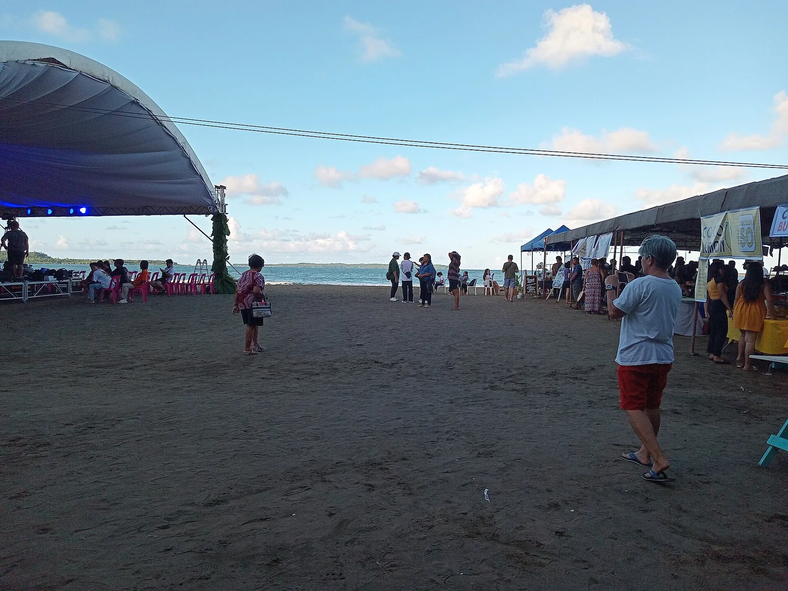
A 3-day plan built from the See, Do and Eat listings in Wikivoyage's Borongan guide. The stops are in an order that keeps each day close together. Check the hours …
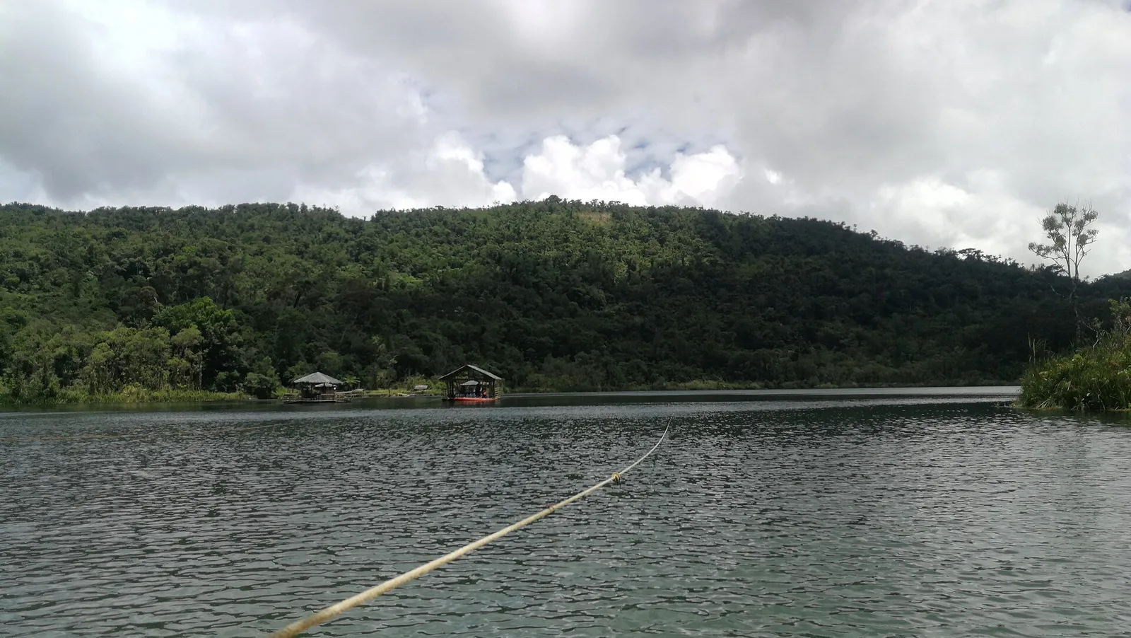
A lake in the hills above the city, shaped like a violin and 3 kilometres long, at 640 metres above sea level. Floating cottages sit on the water and boats are for hire. The water covers 148 hectares inside Lake …
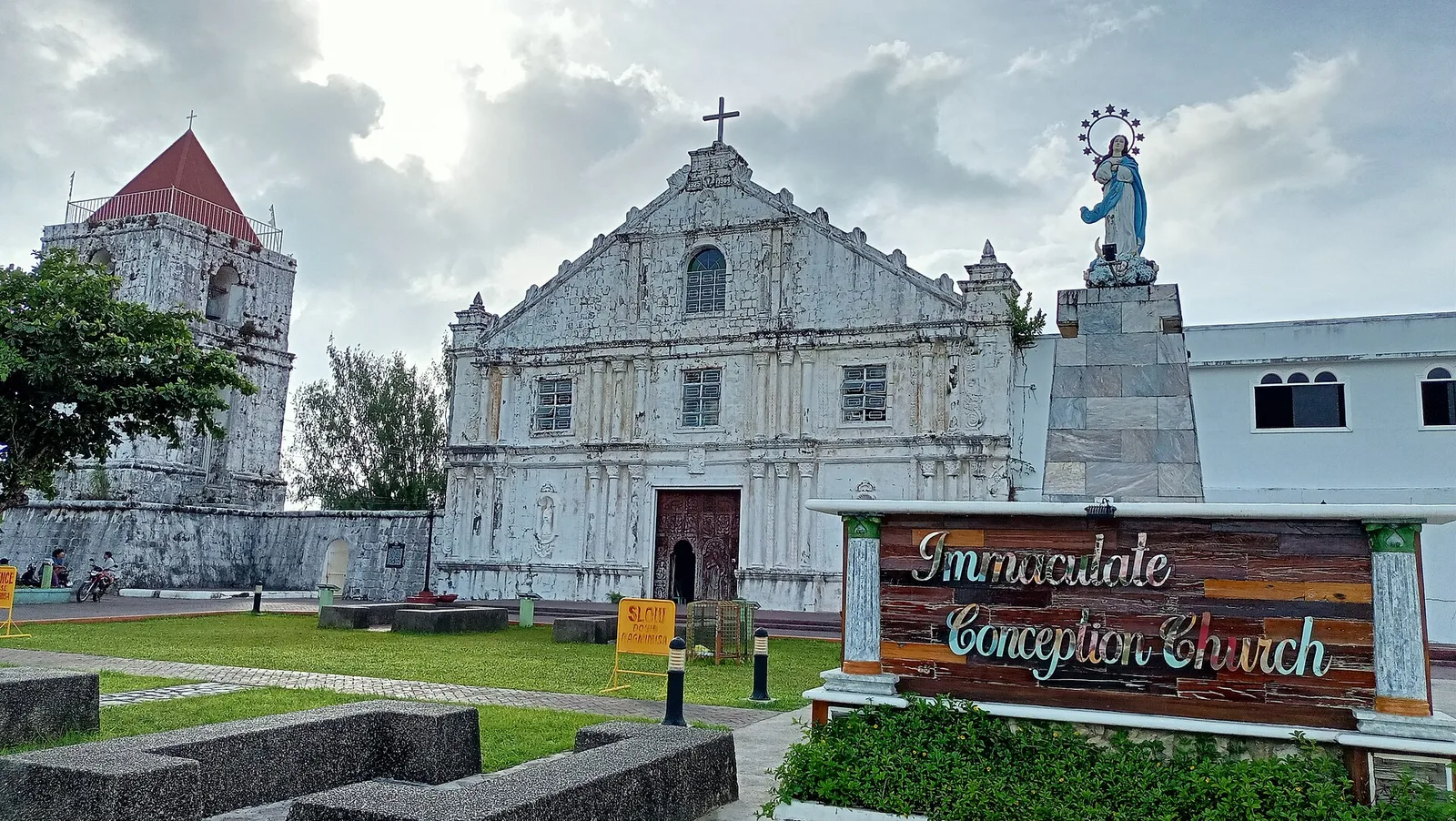
An 18th-century church that the National Museum of the Philippines lists as a National Cultural Treasure. Its full name is Immaculate Conception Parish Church. It was nominated for the UNESCO World Heritage list under two headings, the Baroque Churches of …
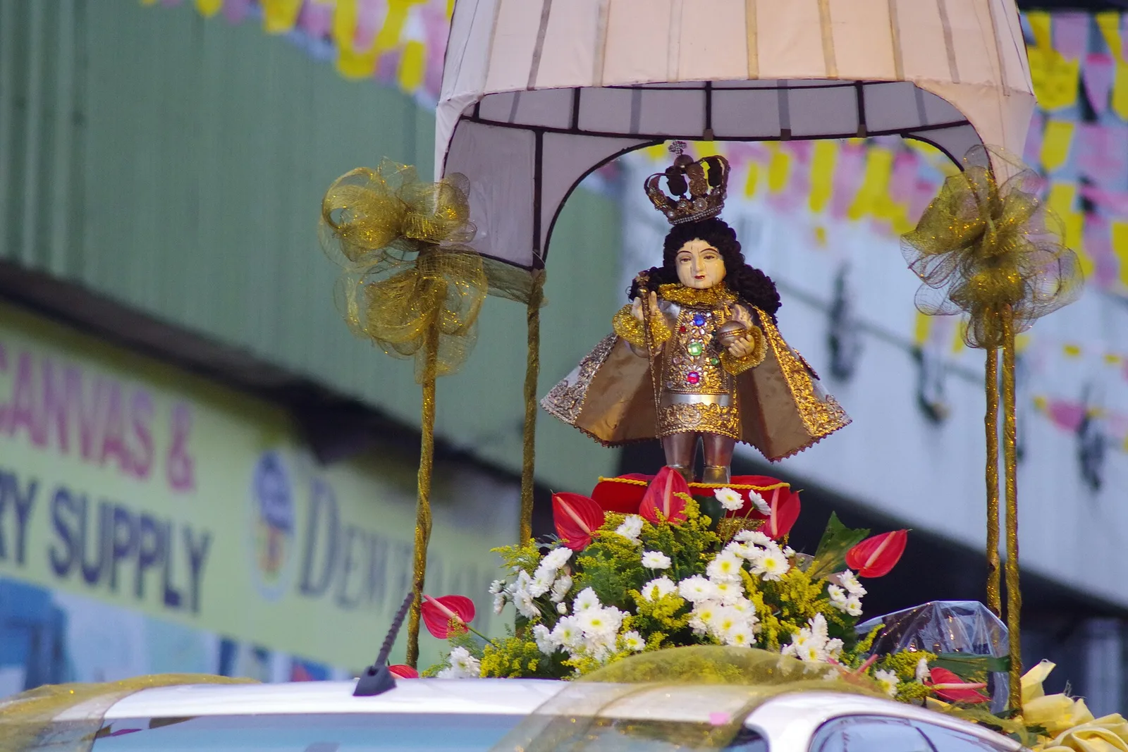
A competition of performing groups, with contingents invited from festivals all over the country to dance for cash prizes and trophies. The dancing fills the streets in costume, and the festival is held in honour of the Santo Niño, the Child Jesus. Sangyaw is an old Waray word …
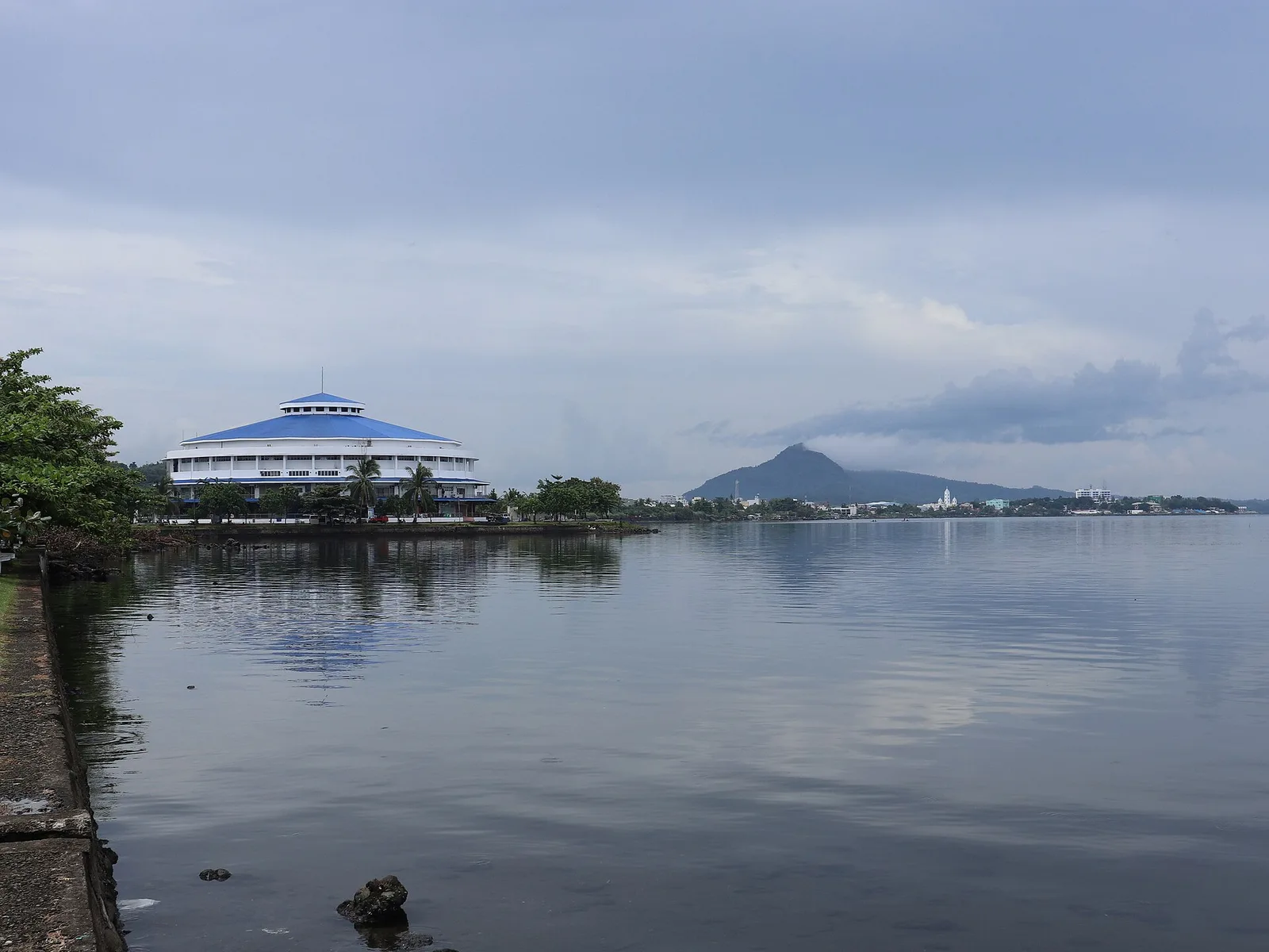
CAP Building served as the residence and headquarters of General Douglas MacArthur for three months.
Declared as the surfing capital of the Visayas in 2001, by President Gloria Macapagal-Arroyo. This is an ideal place for surfing during the months of September to December due to the presence of big waves by the northeast trade winds.
"Mapaso" literally means hot in Waray. Fresh crustaceans (pokot) abound. They are naturally pinkish resembling scalded shrimps due to the high temperature.
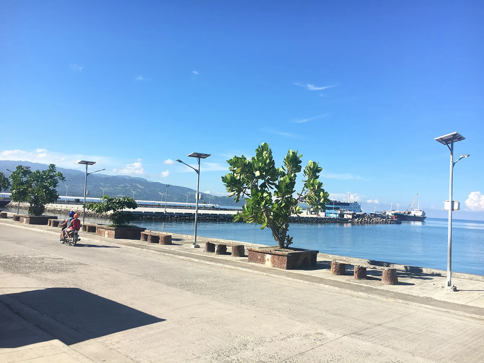
The seaside walk along the city front, the most visited spot in the city and busiest after dark. Baybay is the business and industry centre for the west coast of Leyte, and the restaurants, cafes and night spots that fill …
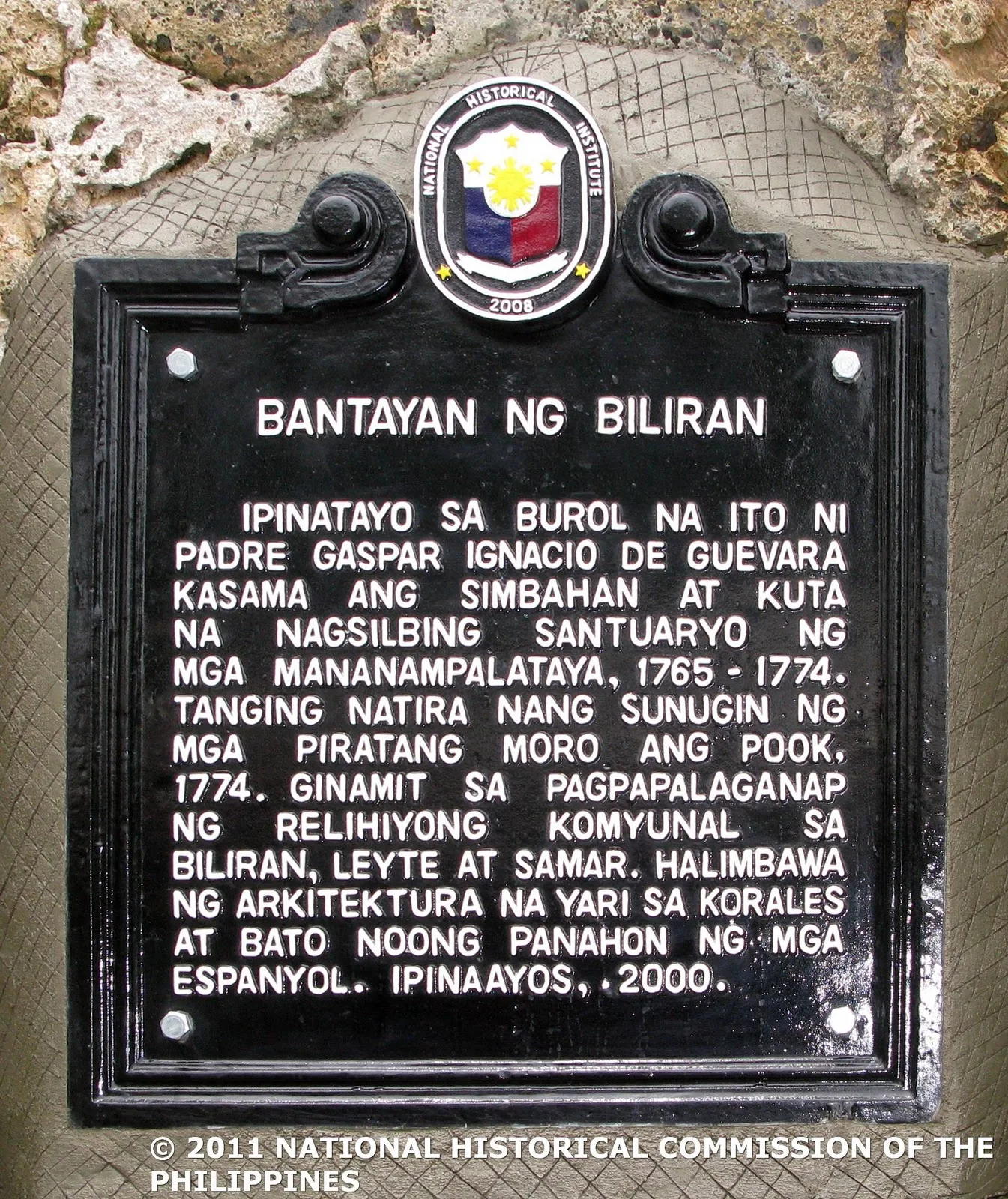
A coastal watchtower put up in 1765 to watch for Muslim raiding boats. The Filipino priest Gaspar Ignacio de Guevara started the work. In 1774 the raiders came anyway, attacked the settlement and burned it, tower included. The ruin was …
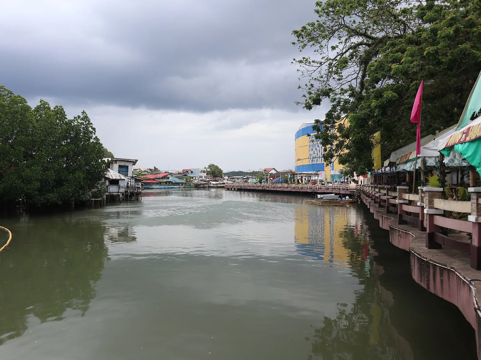
A 3-day plan built from the See, Do and Eat listings in Wikivoyage's Calbayog guide. The stops are in an order that keeps each day close together. Check the hours …
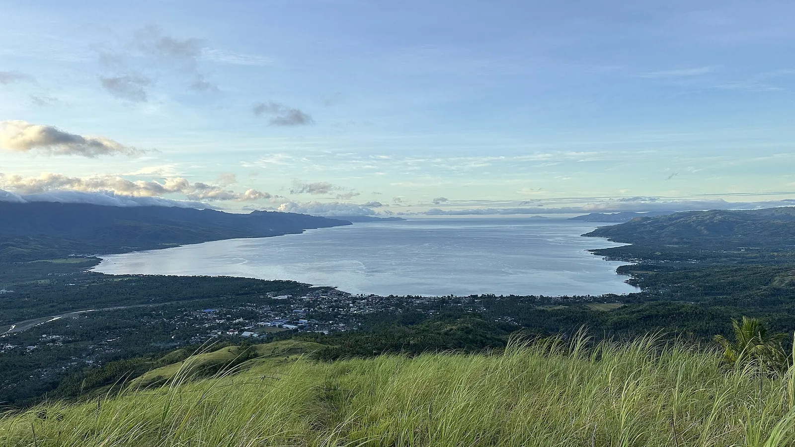
The province's diving water: a large bay off the Bohol Sea, with reefs that draw most of its foreign visitors. Dive sites run from just outside Maasin City all the way around the bay by way of Padre Burgos. The …
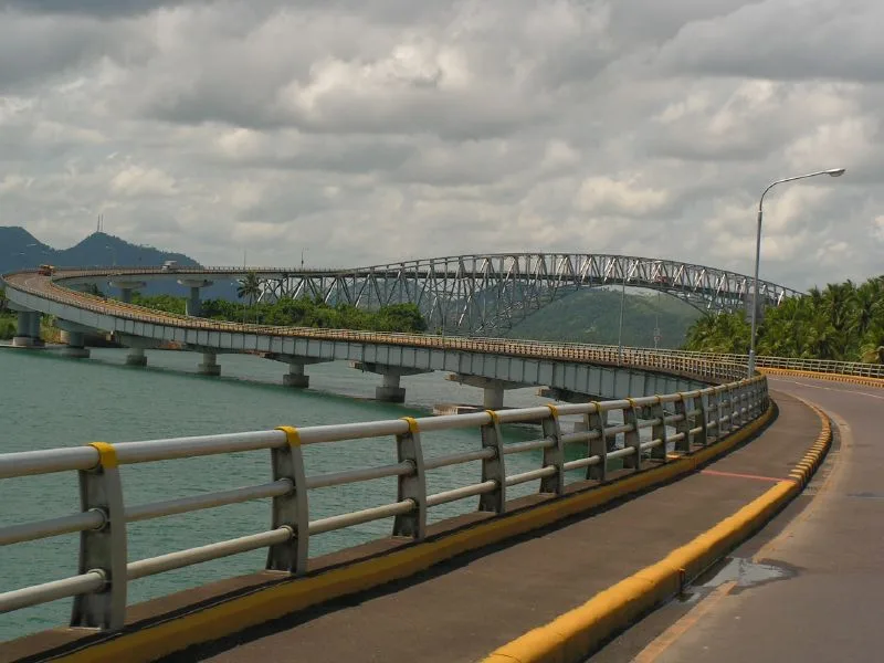
The road bridge between Samar and Leyte, 2.16 kilometres long across the San Juanico Strait. It carries the Pan-Philippine Highway from Santa Rita on the Samar side over to the city of Tacloban. Most of that length is a steel …
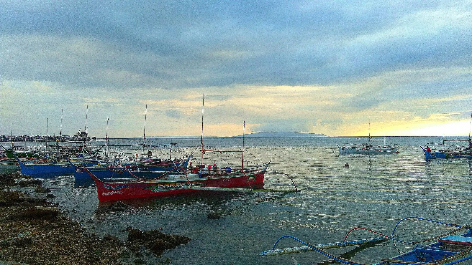
The island where Ferdinand Magellan's expedition anchored on 16 March 1521, during the voyage around the world. Magellan set foot here, and the island counts as one of the early points of contact between East and West in the Pacific. …
