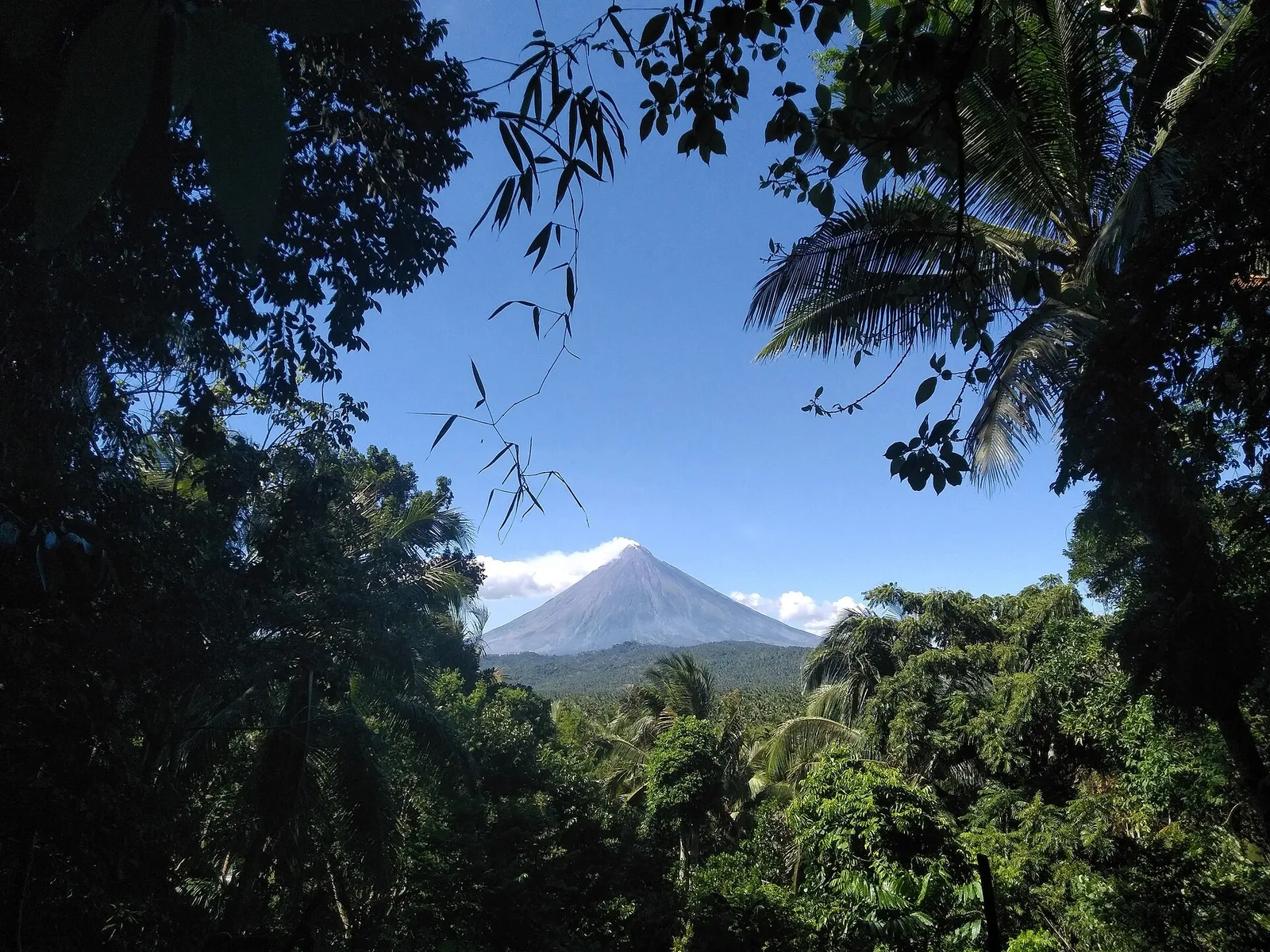
A 3-day plan built from the See, Do and Eat listings in Wikivoyage's Camalig guide. The stops are in an order that keeps each day close together. Check the hours …
Island group · 8 regions
Showing 271 to 300 of 1,429
A 3-day plan built from the See, Do and Eat listings in Wikivoyage's Camalig guide. The stops are in an order that keeps each day close together. Check the hours …
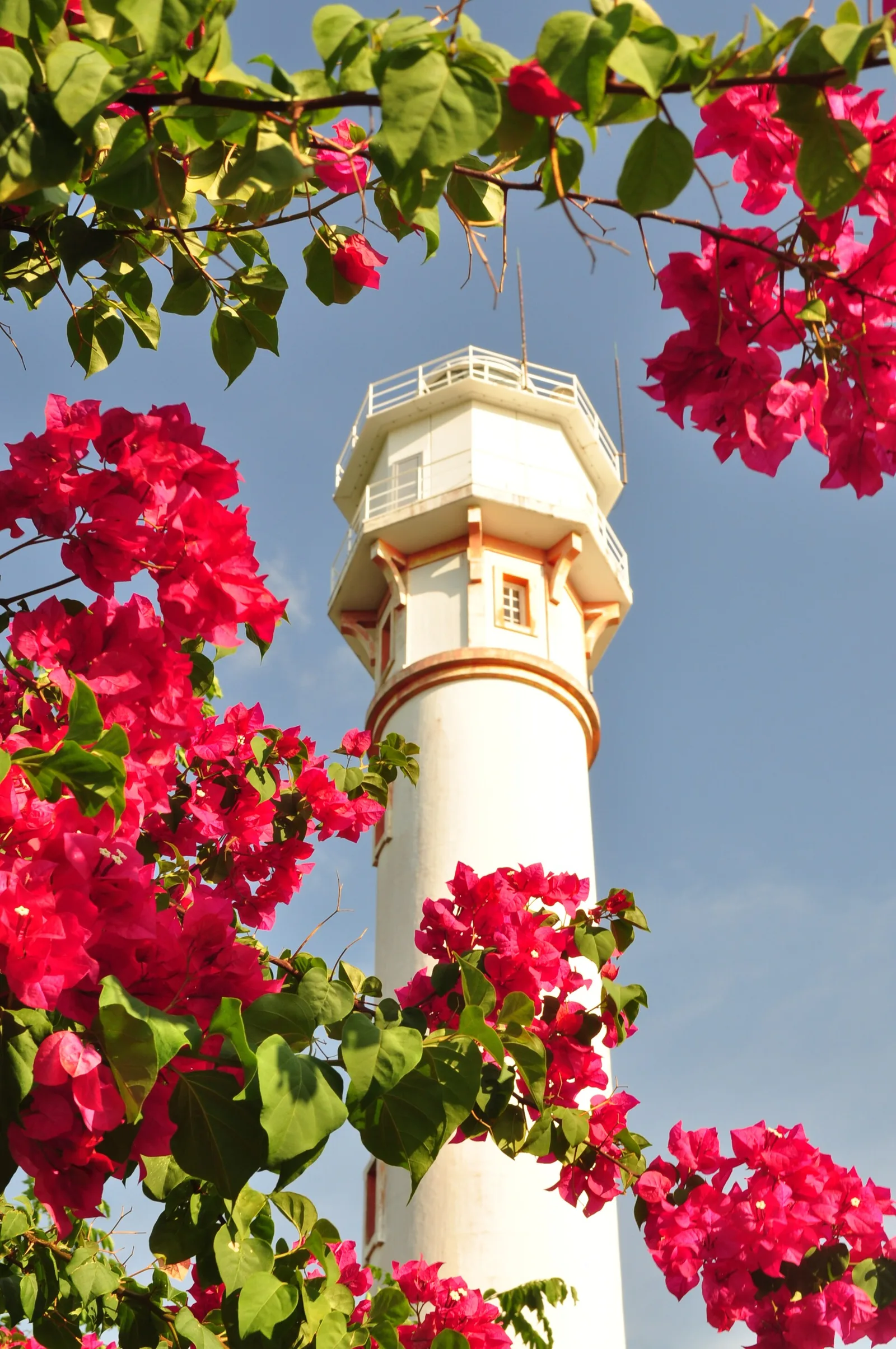
A 3-day plan built from the See, Do and Eat listings in Wikivoyage's Bolinao guide. The stops are in an order that keeps each day close together. Check the hours …
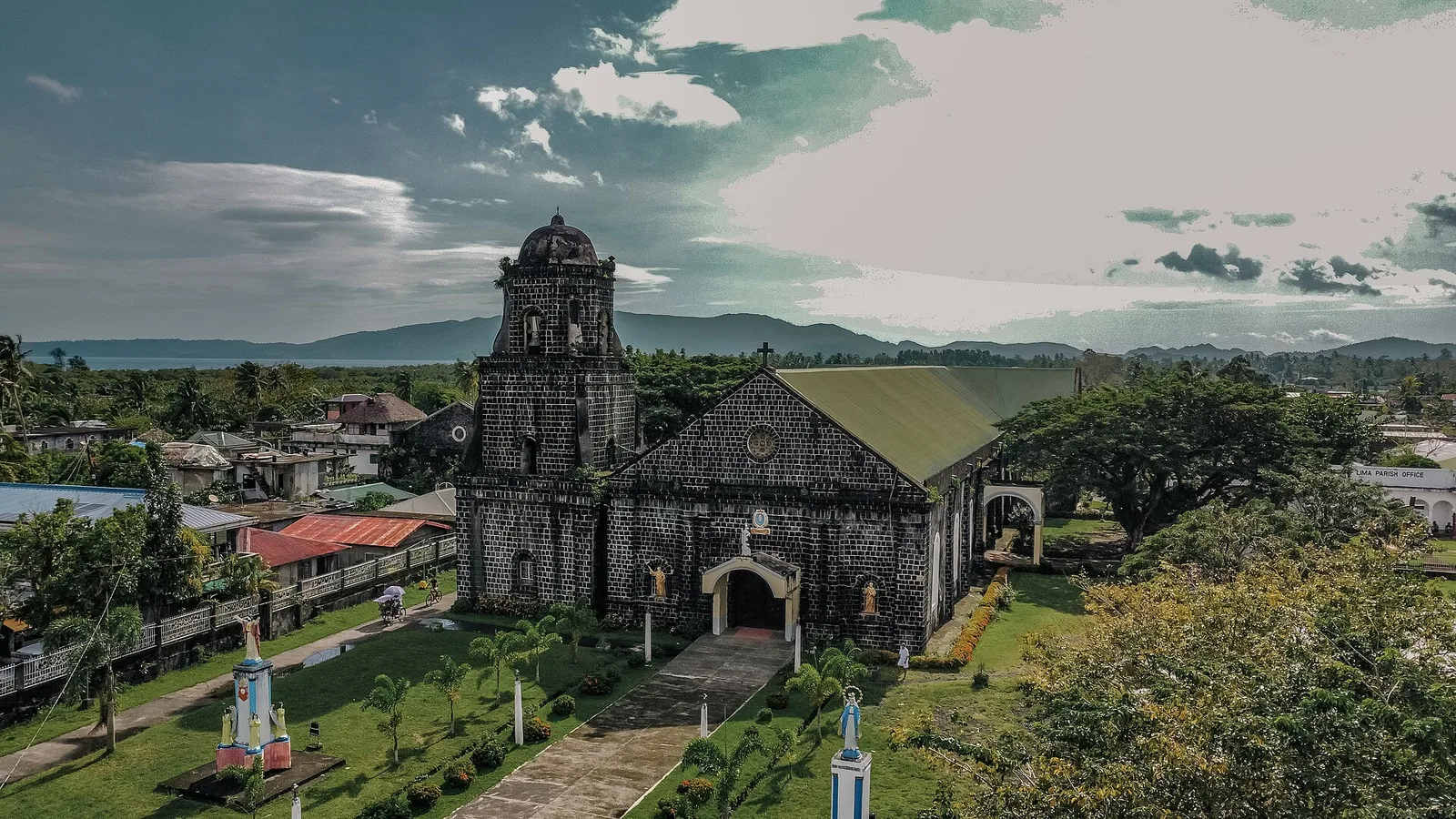
A 2-day plan built from the See, Do and Eat listings in Wikivoyage's Bacacay guide. The stops are in an order that keeps each day close together. Check the hours …
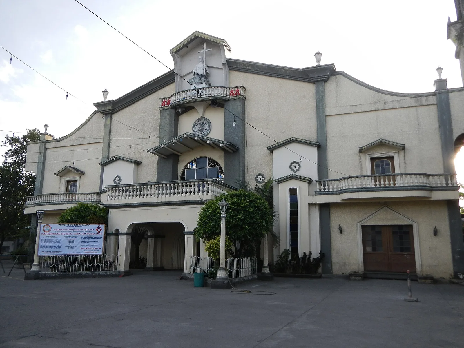
The oldest church in the city, dedicated to San Diego de Alcala. Father Juan Taranco began it and Father Jose Valencia finished it in 1632. The Second World War destroyed the building, and the belfry that survived is the oldest …
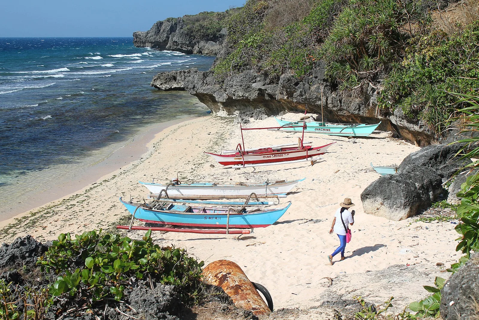
The largest of the seven islands in the Lubang Group, off the northwest tip of Mindoro and 117 kilometres southwest of Manila. The group sits on its own, away from any larger landmass, which makes its wildlife both unusual and …
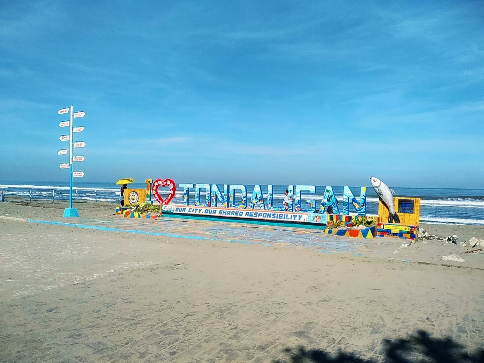
An urban beach park on the Bonuan shore, with a long baywalk that cyclists use along Lingayen Gulf. General MacArthur landed on this coast in the Second World War, and the city built the MacArthur Landing Park by the beach …
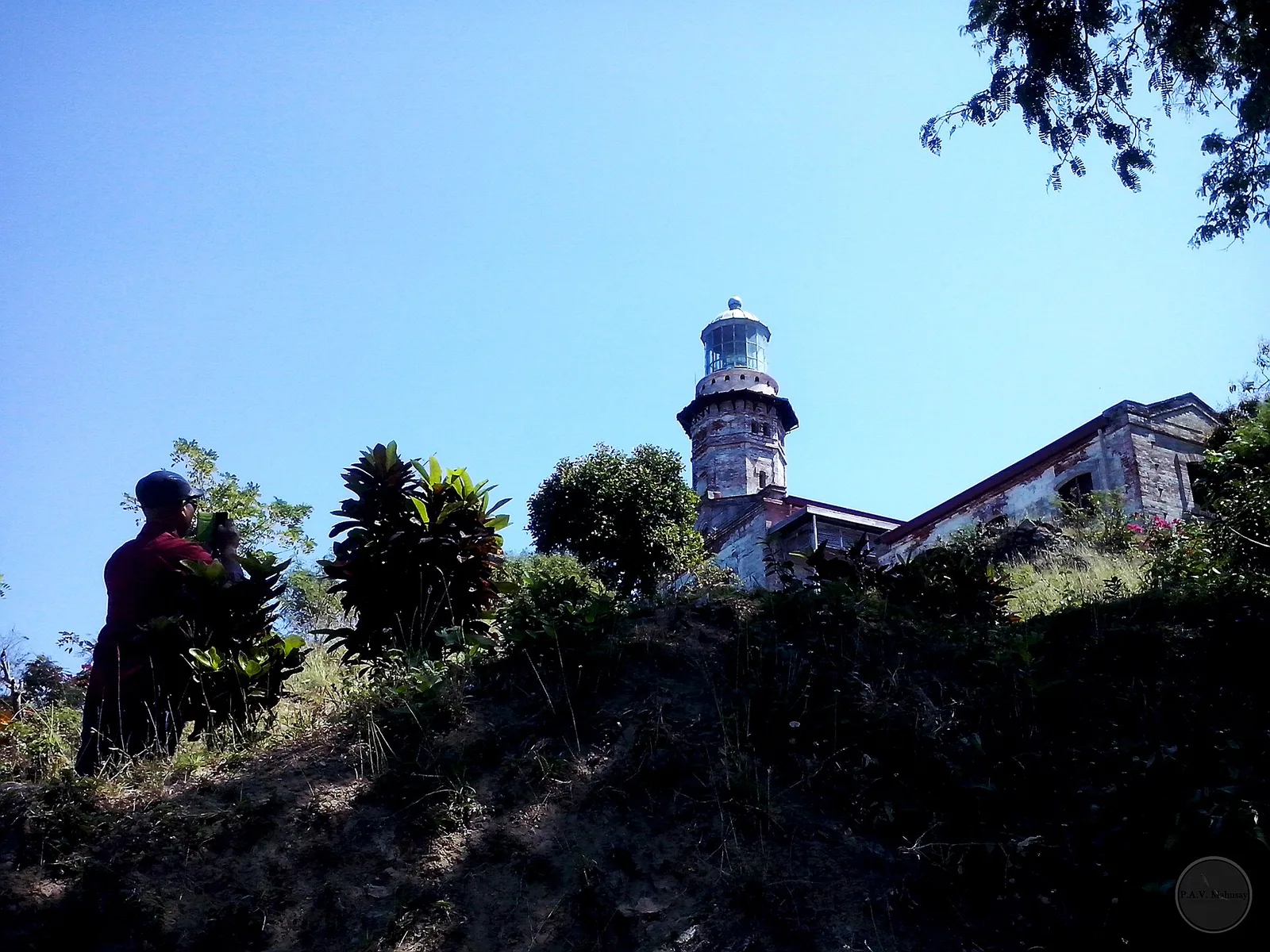
The lighthouse that marks the northwesternmost point of Luzon, first lit on March 30, 1892 and still in service. The octagonal stone tower is 20 metres tall and stands on Vigia de Nagpartian Hill, above the cape that early galleons …
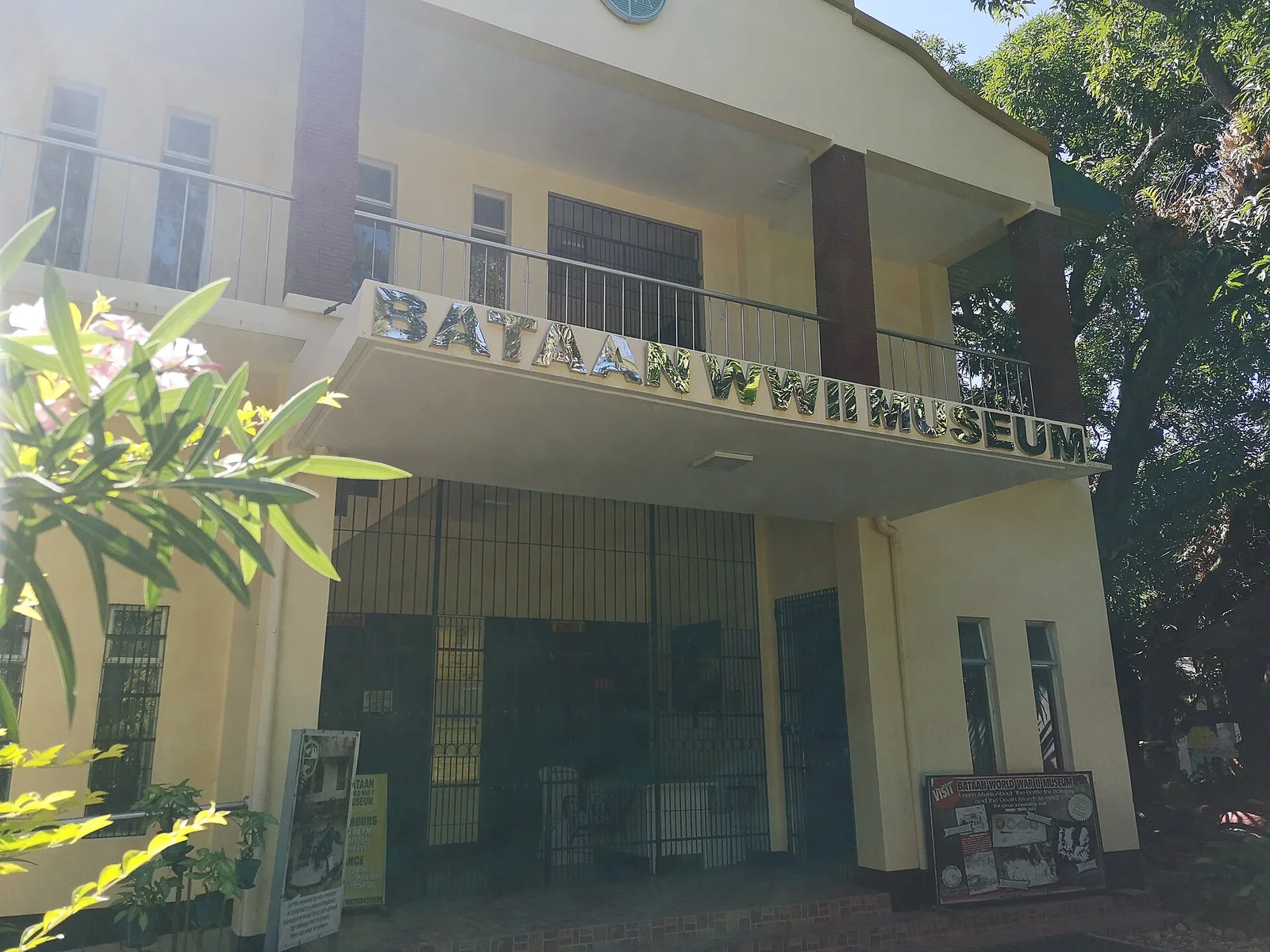
A war museum inside the compound of Balanga Elementary School, on the site where General Edward P. King negotiated the surrender of 76,000 USAFFE soldiers to the Japanese Imperial Army. The Surrender Site Marker stands in the same compound. The …
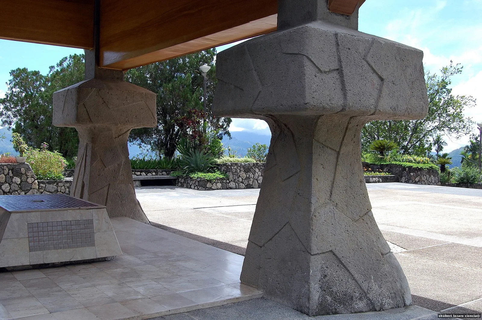
The place where the highest commander of the Japanese Imperial Army surrendered. General Tomoyuki Yamashita, also called the Tiger of Malaya, gave himself up to Filipino and American forces on 2 September 1945. The old home economics building of Kiangan …
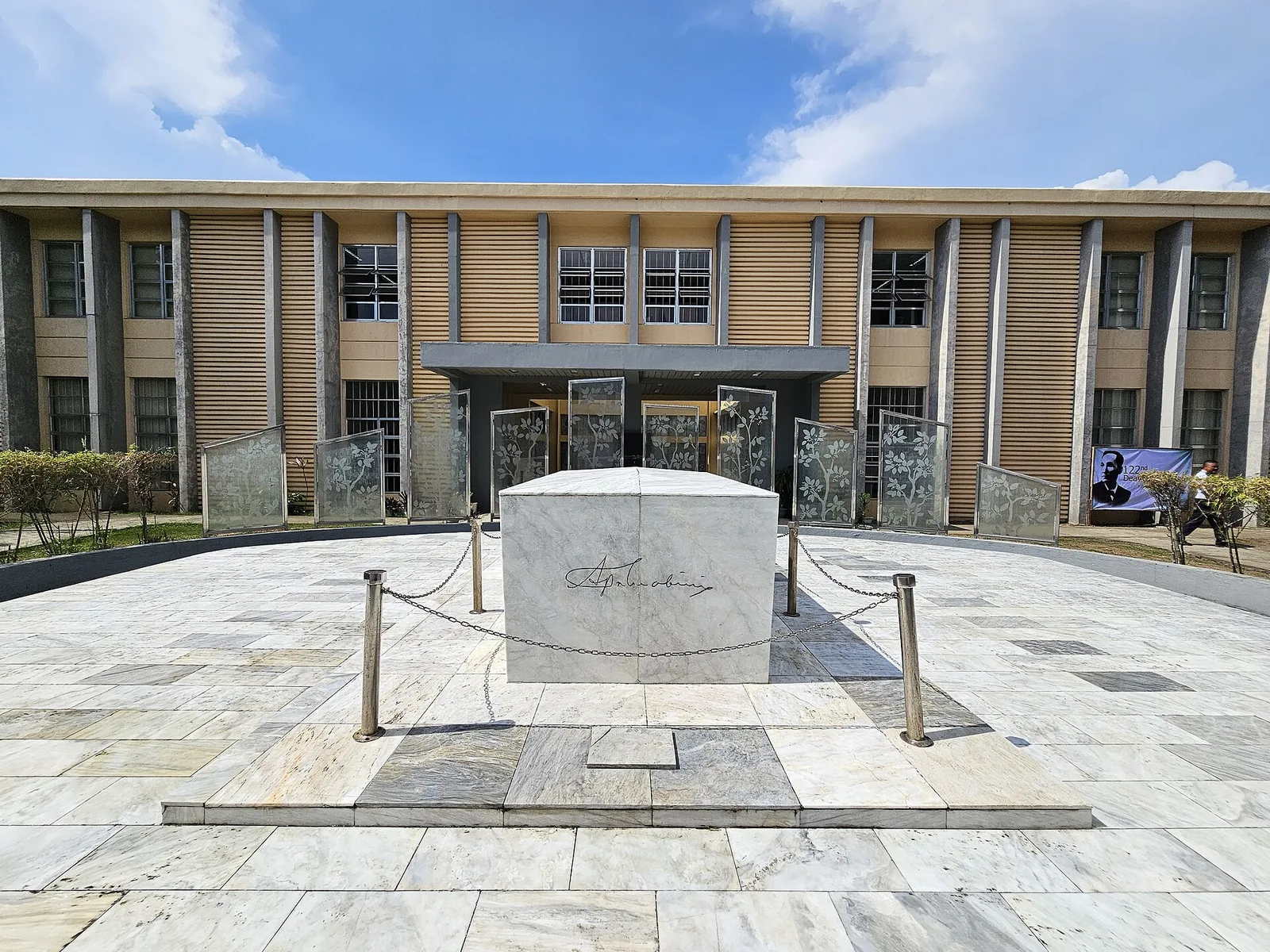
The place where Apolinario Mabini was born, kept as a memorial shrine. Mabini lived from 1864 to 1903. He was a revolutionary leader and statesman, and he served as foreign minister and adviser to Emilio Aguinaldo, the first Philippine president.
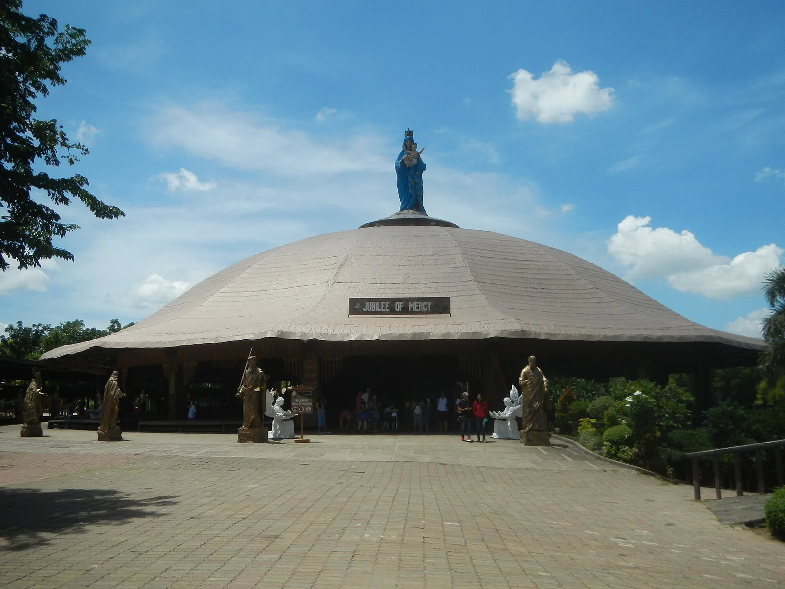
A pilgrimage church along Governor Antonio Carpio Avenue, consecrated to the Italian saint Pio of Pietrelcina. The Catholic Bishops' Conference of the Philippines named it a national shrine, the first in Batangas, and it was one of the venues of …
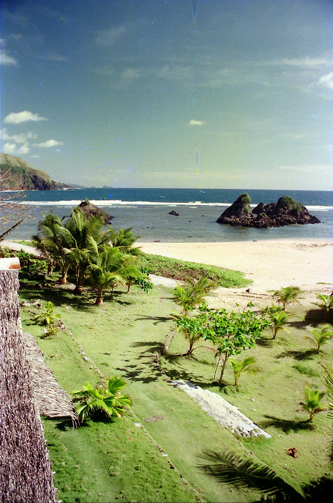
One of the top surfing destinations in the country, home to the wave called The Majestic Wave. Top surfers from around the world come for it during the season, which runs July to October. The Pacific coast of the island …
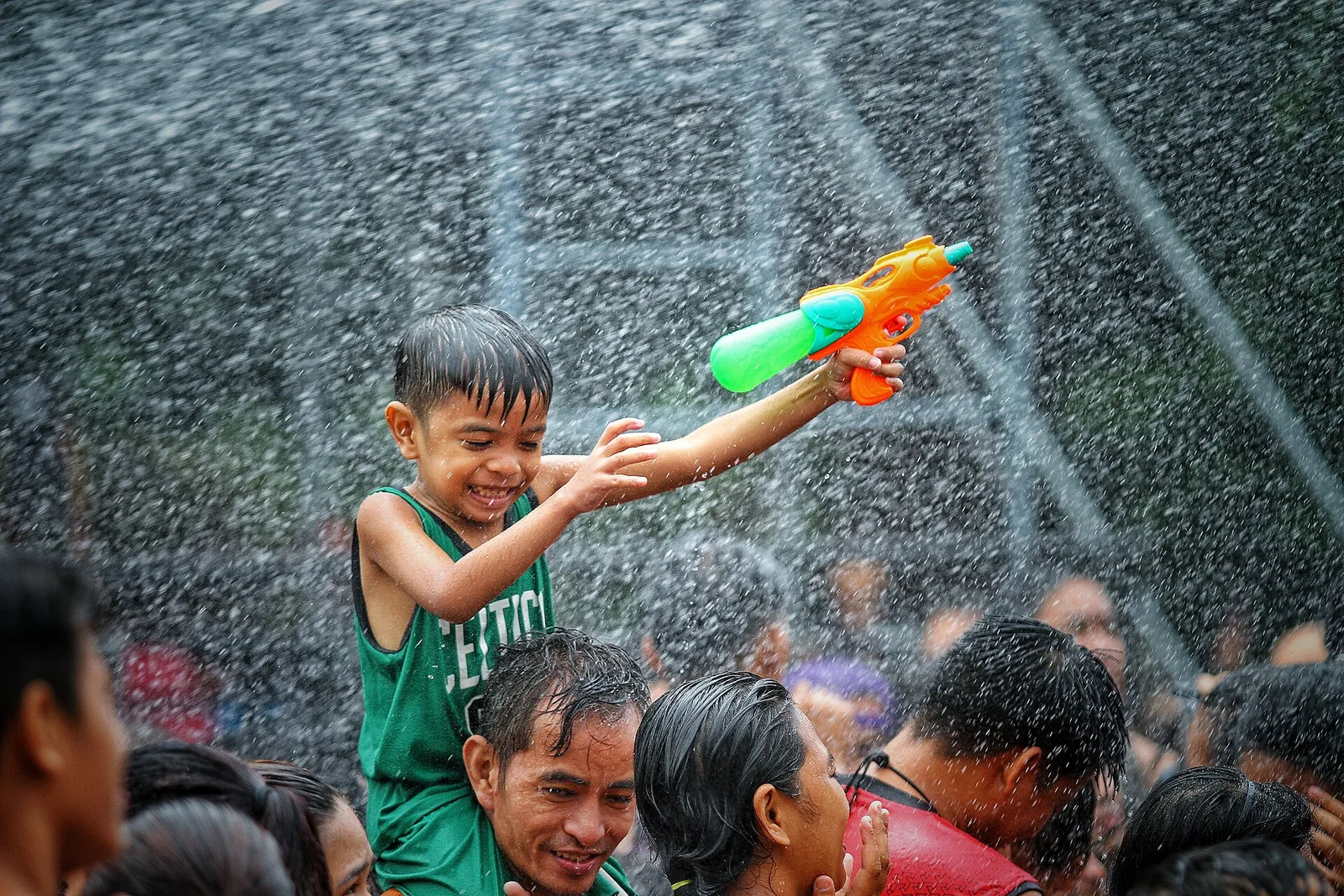
The feast of Saint John the Baptist, held every June 24, when people douse each other with water in the street. The image of the saint goes in procession down N. Domingo Street and Pinaglabanan Street, with dancing and parades. The city has kept the festival since 2003. …
An elevated historic chapel established in 1604, 100 years older than the Sts. Peter and Paul Cathedral. American soldiers during the Philippine-American War used it as headquarters in 1899. St Hyacinth is the patron saint of the city whose feast …
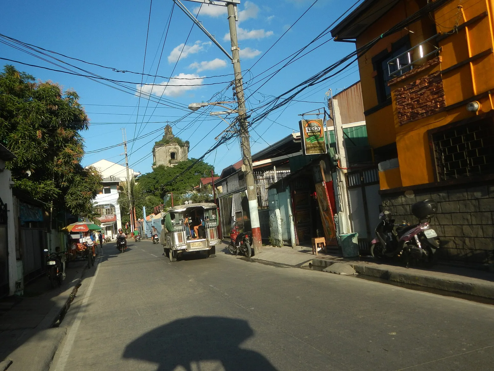
The ancestral home of Pio Valenzuela, one of the leaders of the Katipunan and the namesake of the city, then the town of Polo. It is now fully renovated as of September 2023.
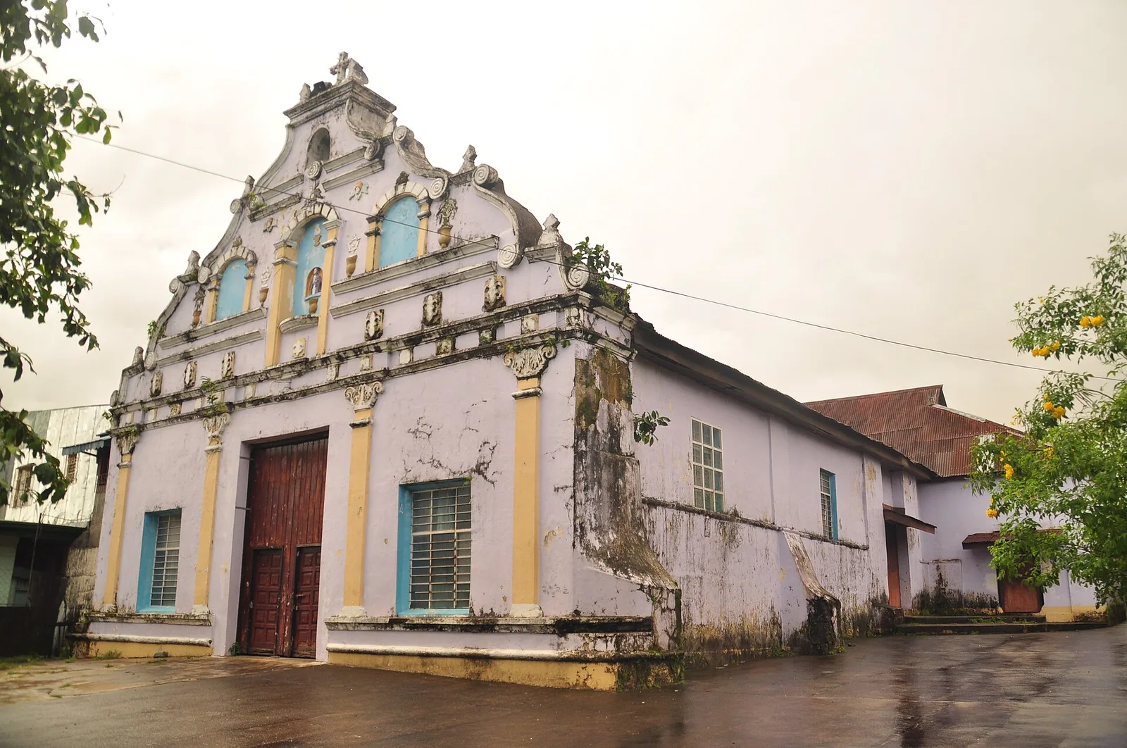
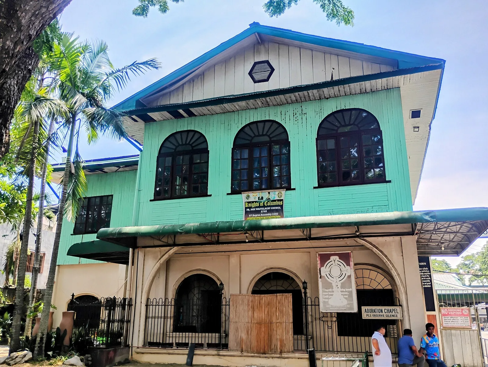
Solano's central Roman Catholic parish church is not very special architecturally, but it houses a replica of the Black Nazarene.
An extensive stretch of cream-colored sand running to Biak na Bato (Mapisi Rock), a rock formation marking the boundary with the town of Santiago. There is a marker commemorating a clandestine US submarine shipment of weapons to anti-Japanese guerrillas in …
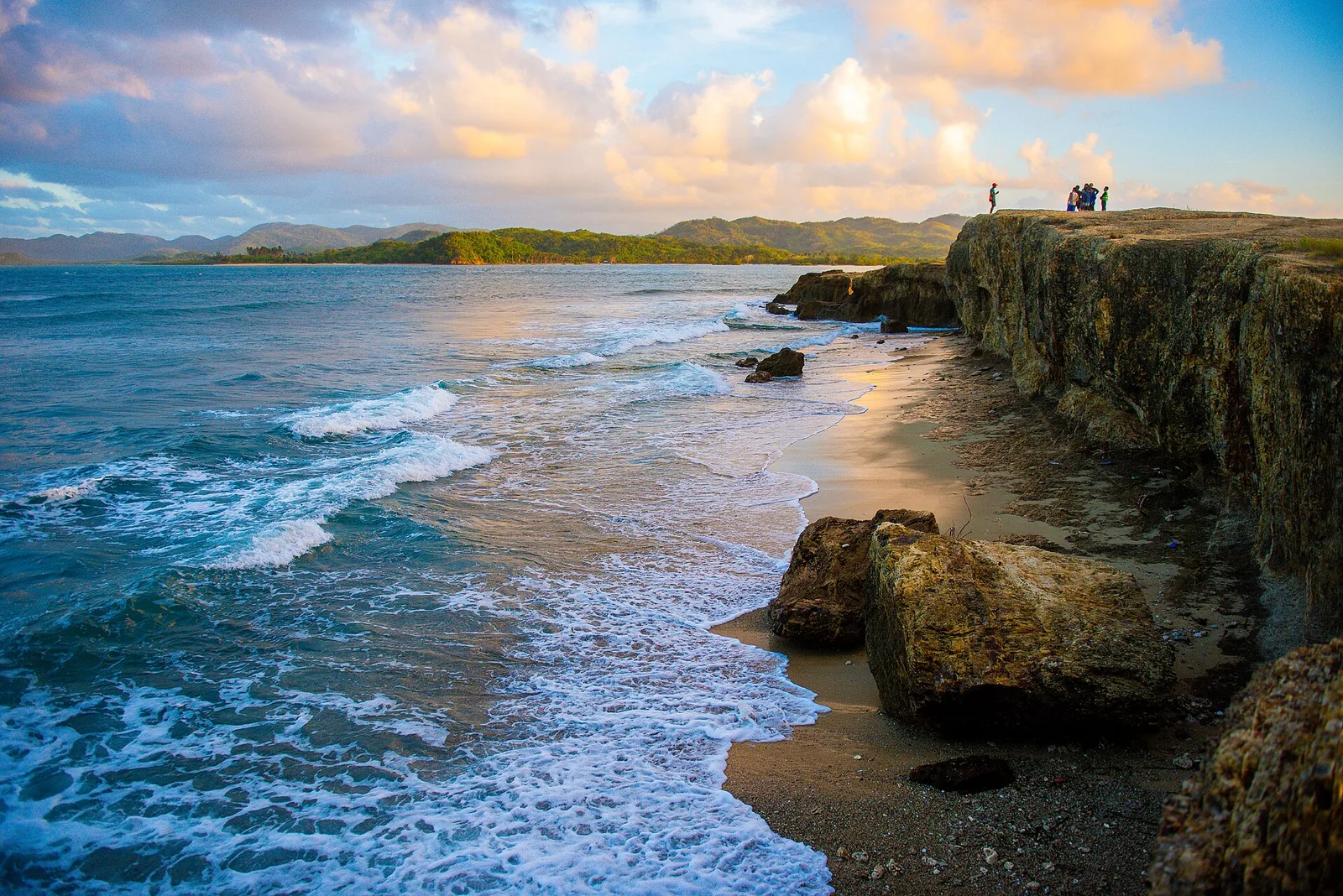
An islet in the middle of the strait separating Palaui Island and Luzon. It is named as such because the silhouette formed by the rock formations resembles the head of a crocodile. It has white sand beaches chock-full of coral …
Ambulong Island is a 30-km² island with fine beaches, cliffs and abundant coral formations. It is characterized by white sand beaches, cliffs along pillars jutting out of the water, and underwater caves. Coral gardens and tropical fish are abundant in …
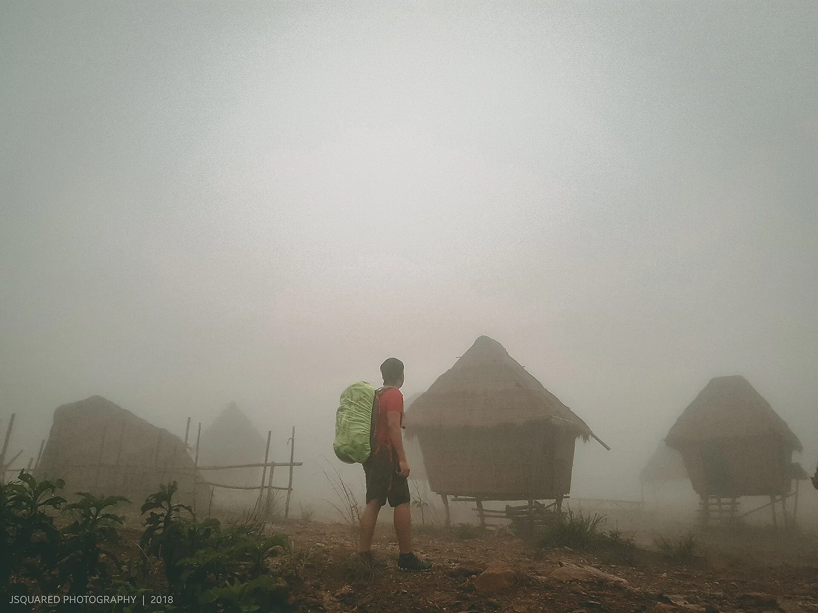
A peak at the boundary with the city of San Jose del Monte in Bulacan province used as a stand-in location for films set in northern Luzon and one of the closest hiking destinations to Metro Manila.
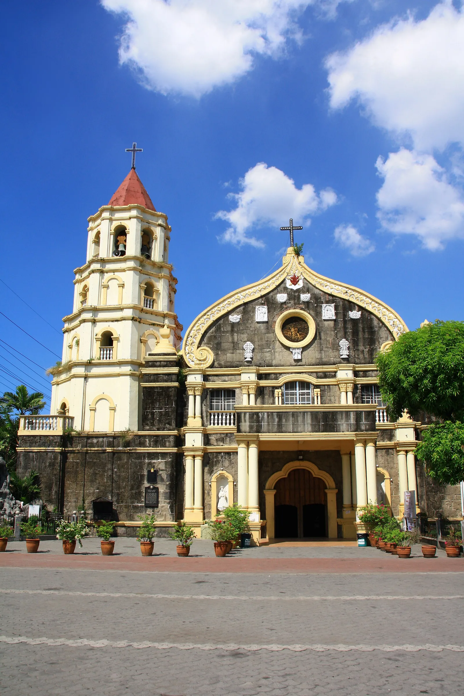
Plaridel's main Roman Catholic Church, built in its current state by the Spanish in the 18th century in a Baroque style with cream-colored plaster in its facades and gravestones in the interior walls.
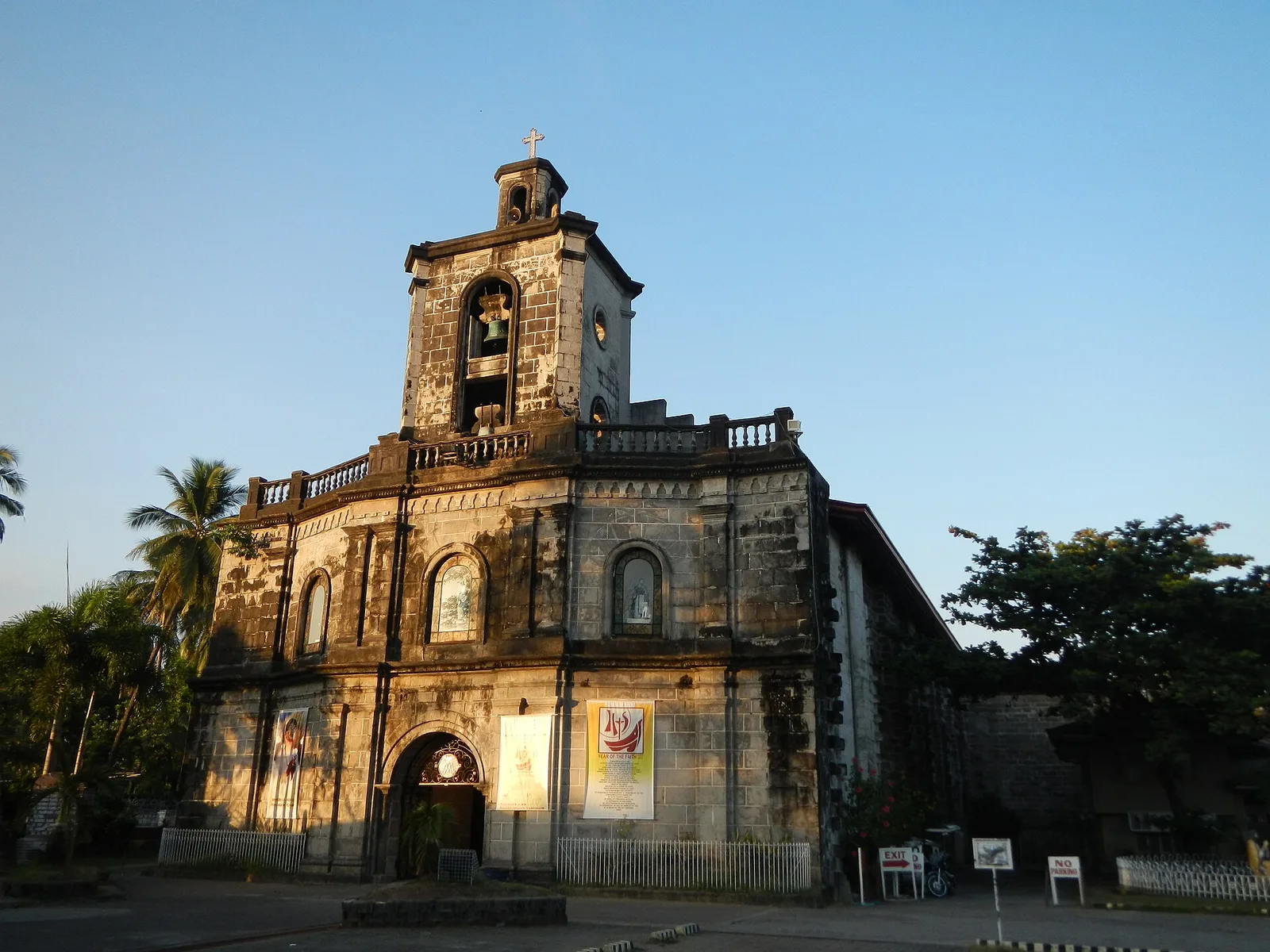
Pilar's main Roman Catholic church, built during the Spanish-era in 1834 using adobe bricks.
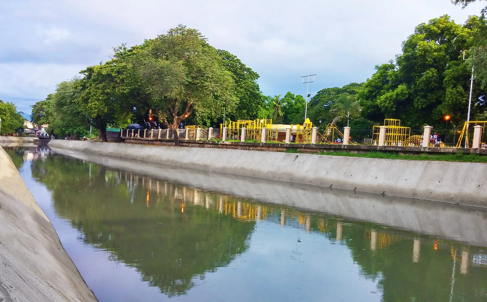
A park beside the SM City Olongapo Central. At its entrance is a concrete mural/relief dedicated to Filipino workers, and a model of a RA-5 Vigilante aircraft. The park also has a children's playground.
The site of the Japanese stronghold during the Battle of Mayoyao Ridge, riddled with caves and foxholes used as shelters. There is a small war memorial at the peak, which also offers panoramic views over Mayoyao.
Waterfall complex, with two large falls and two small ones. One of the large falls drops into a clear water pool. The two smaller falls creates a shower while other forms small cascades.
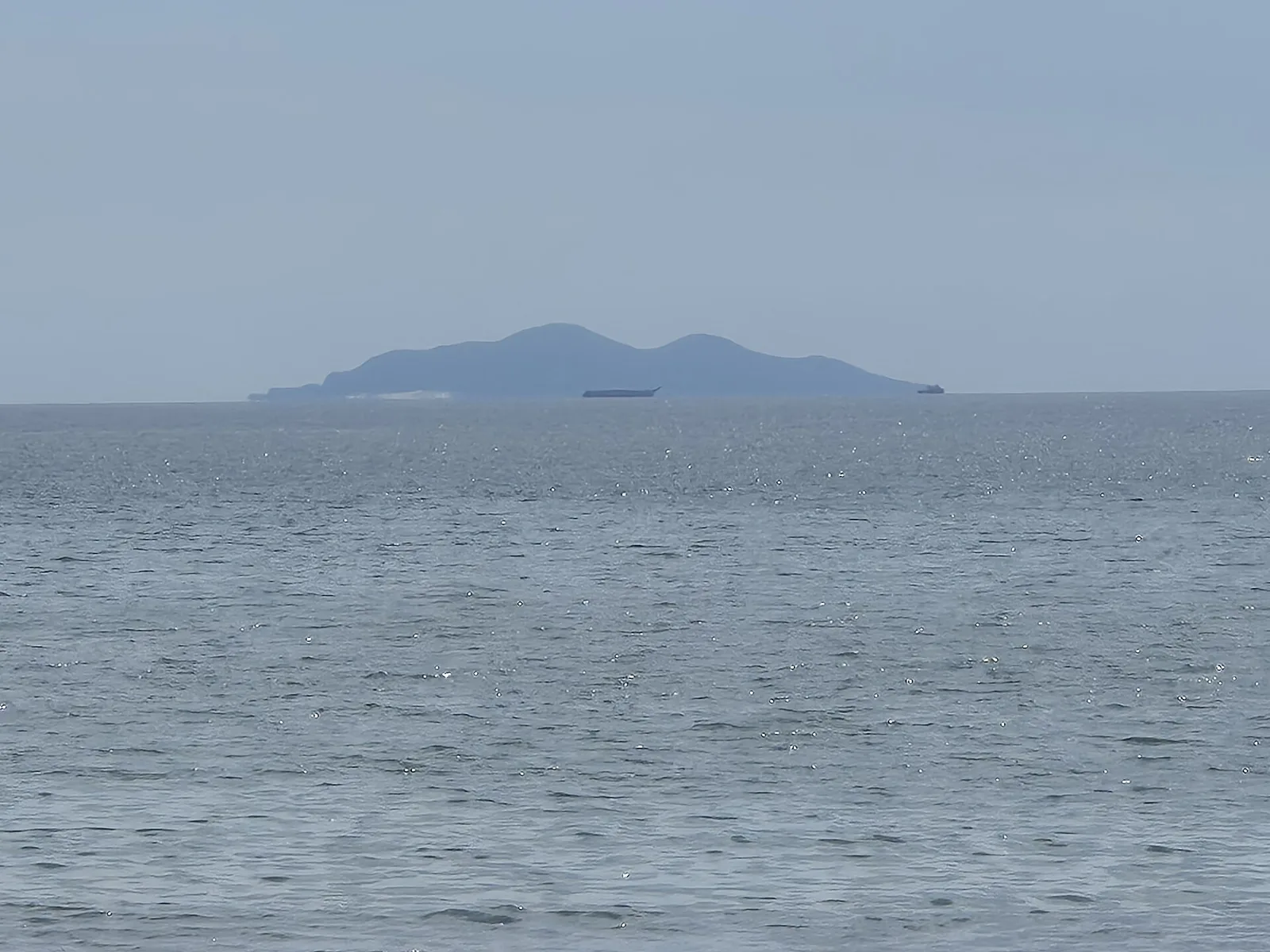
The island is owned by José Antonio Leviste, a former governor of Batangas. Leviste opened the Resort Club on the island in 1995. It was a bad investment (also due to lack of fresh water on the island). In the …
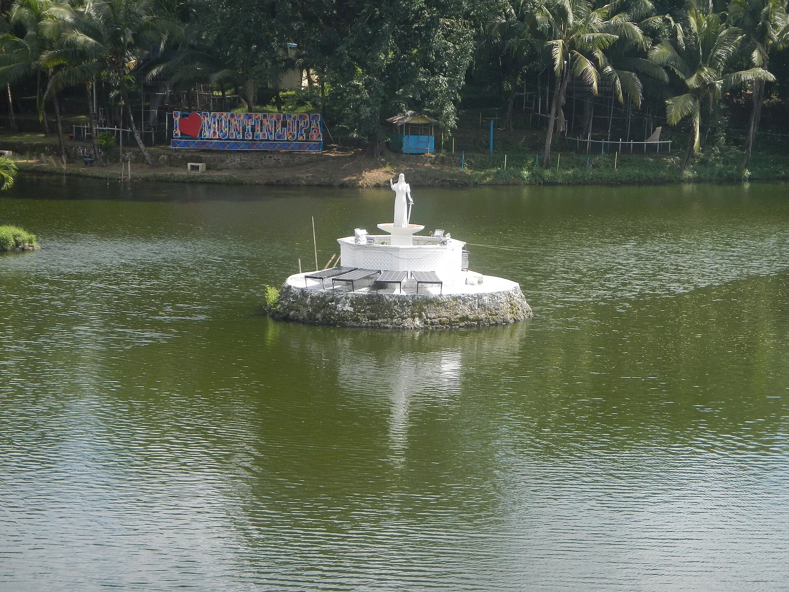
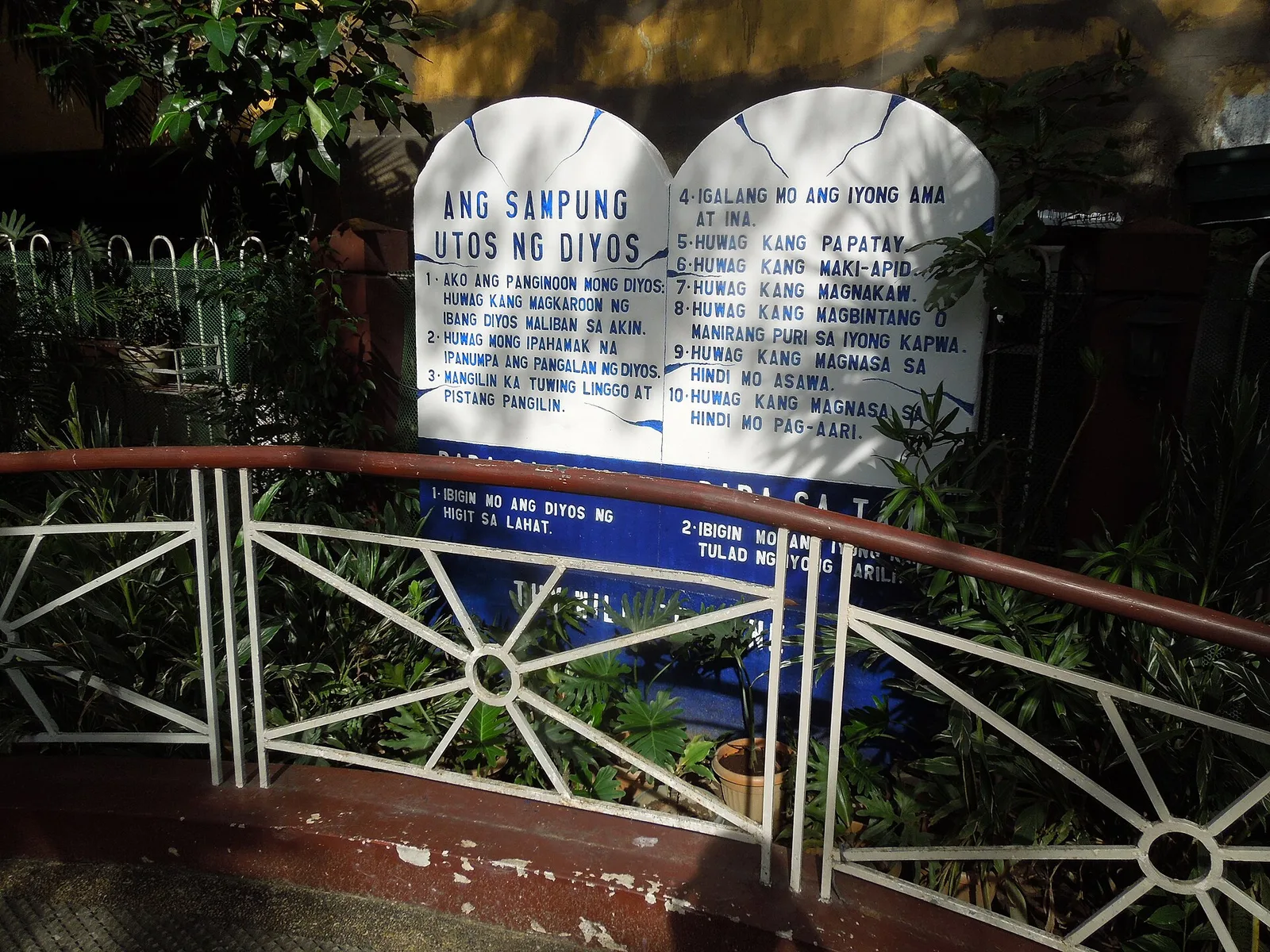
It is a small church but quite beautiful. It is cozy and comfortable as the place is air conditioned. Because of its size, the atmosphere is solemn and peaceful. Seats are limited and so it is best to come much …
A beachside memorial to the time when Darigayos Beach hosted Camp Spencer, the operational headquarters of American and Filipino forces during the Battle of Bessang Pass in 1945 during World War II.
