Mount Melibengoy
An active volcano in the highlands of T'Boli, with a lake in its crater called Lake Holon. It stands 30 kilometres west of General Santos and 44 kilometres south of Koronadal. The mountain was once called Parker, after an American …
Island group · 6 regions
An active volcano in the highlands of T'Boli, with a lake in its crater called Lake Holon. It stands 30 kilometres west of General Santos and 44 kilometres south of Koronadal. The mountain was once called Parker, after an American …
A dig site kept as a museum, built over the grave of Balangay 1, a wooden boat dated to 320 AD. The balangays are plank-built and edge-pegged, and they average 15 metres long and 3 metres wide across the beam. …
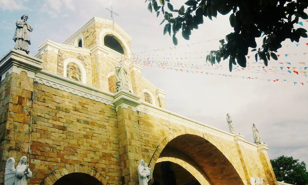
A 3-day plan built from the See, Do and Eat listings in Wikivoyage's Dipolog guide. The stops are in an order that keeps each day close together. Check the hours …
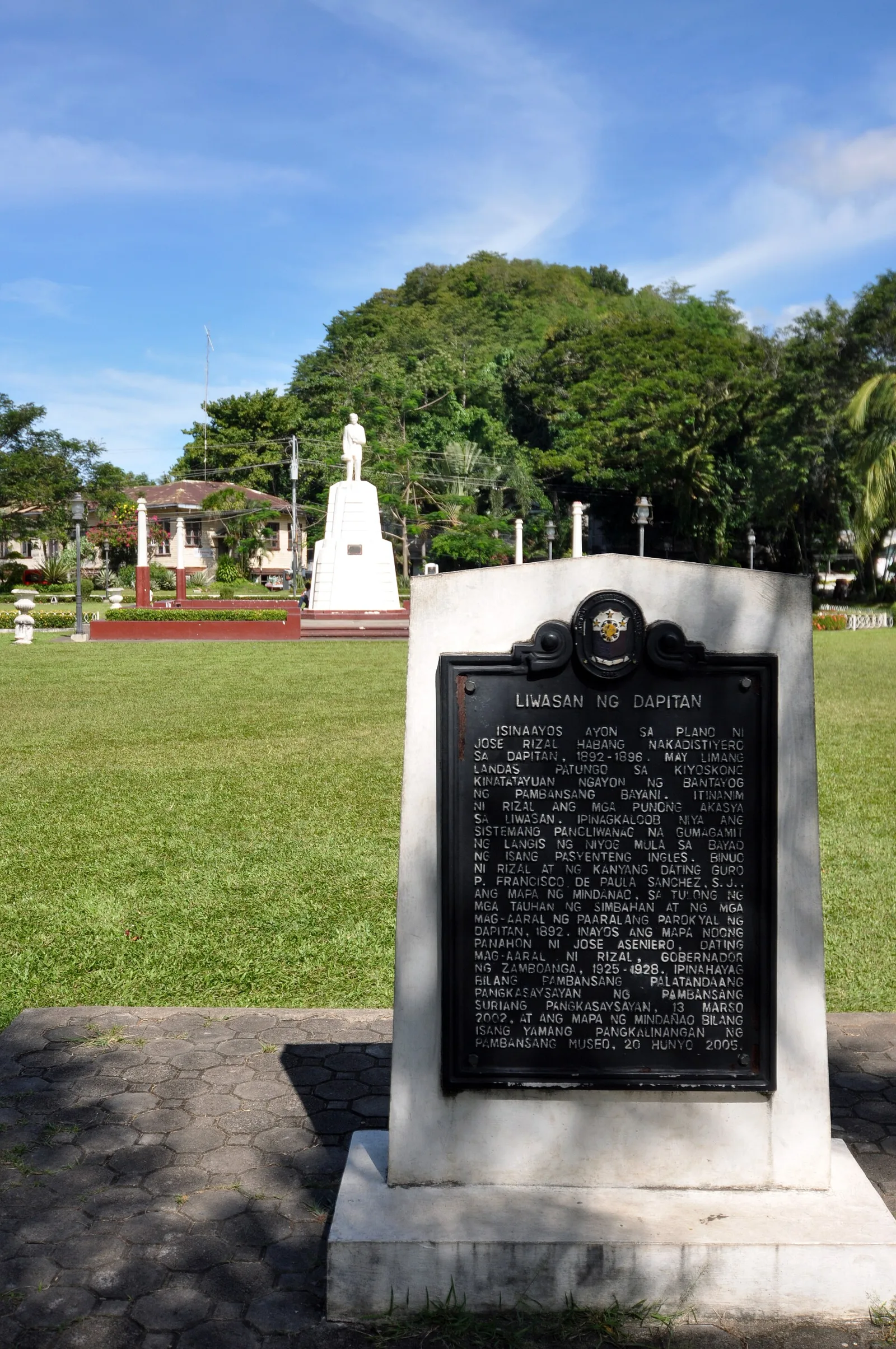
A 3-day plan built from the See, Do and Eat listings in Wikivoyage's Dapitan guide. The stops are in an order that keeps each day close together. Check the hours …
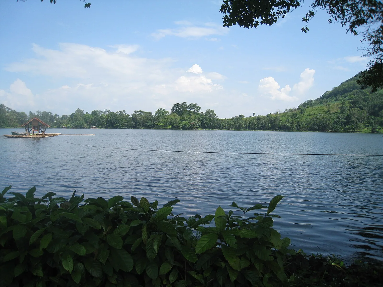
A green crater lake of about 24 hectares in the hills west of the city, with water up to 26 metres deep. In the late 1990s it was named the cleanest inland body of water in the Northern Mindanao region. …
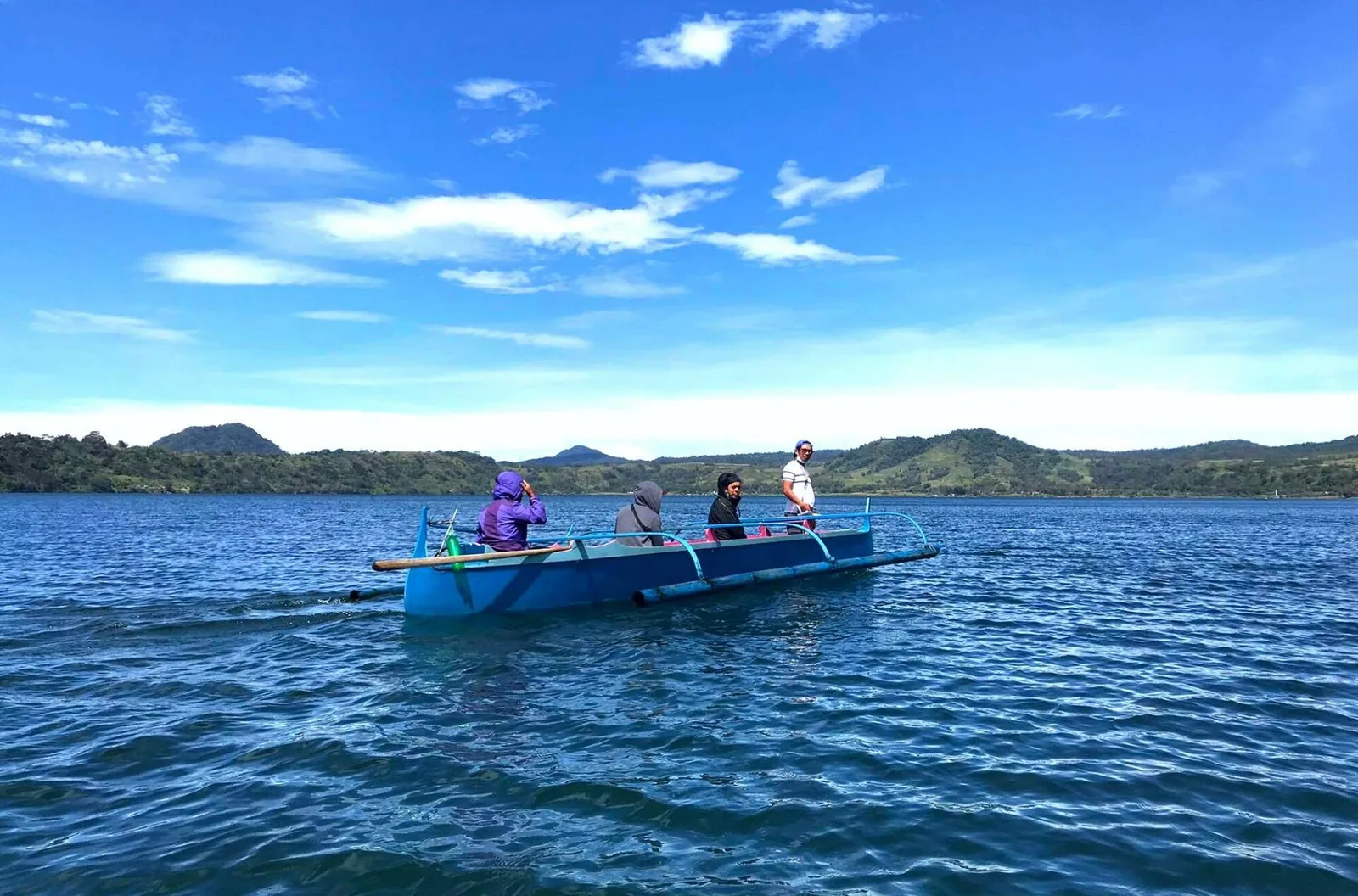
A protected lake southwest of Lake Lanao, and one of the deepest in the country: it reaches 120 metres. The surface covers about 1,011 hectares, and the water comes from local run-off and several small rivers. The lake and the …
A serene, multi-tiered waterfall nestled in lush forest, known for its cool, clear waters and peaceful, uncrowded atmosphere. Standing at 25-feet tall, it’s a hidden natural retreat near Dipolog, ideal for quiet relaxation and nature trips.
Two islands in Illana Bay that share one name, told apart as Dako (big) and Gamay (small). Dao Dao Dako covers about a hectare and lies 7 to 10 minutes by motorboat from the city seaport. It has artificial coral …
A waterfall in the eastern part of the city, at Sitio Lapaan in Barangay Perez. Its water comes from mountain springs on Mount Apo, and it is one of the sources for the Metro Kidapawan Water District, the main water …
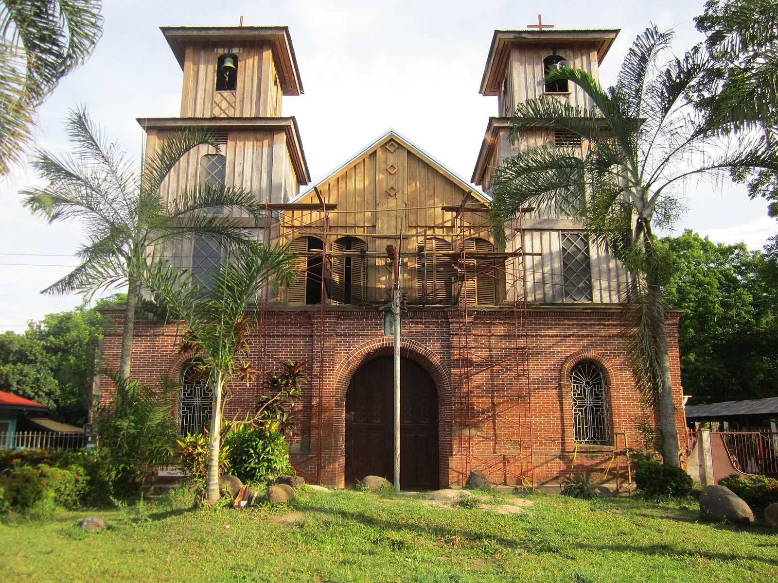
A Baroque church built as a provincial copy of San Ignacio Church in Intramuros, Manila. The National Museum declared it a National Cultural Treasure for its artistic design and cultural value. The Jesuit brothers Francisco Rivera and Juan Cuesta are …
A volcanic island off the southern tip of the province, in the municipality of Sarangani. Mount Balut stands at its centre, a fumarolic volcano with no eruption in the record, though the island is still counted as potentially active. The …
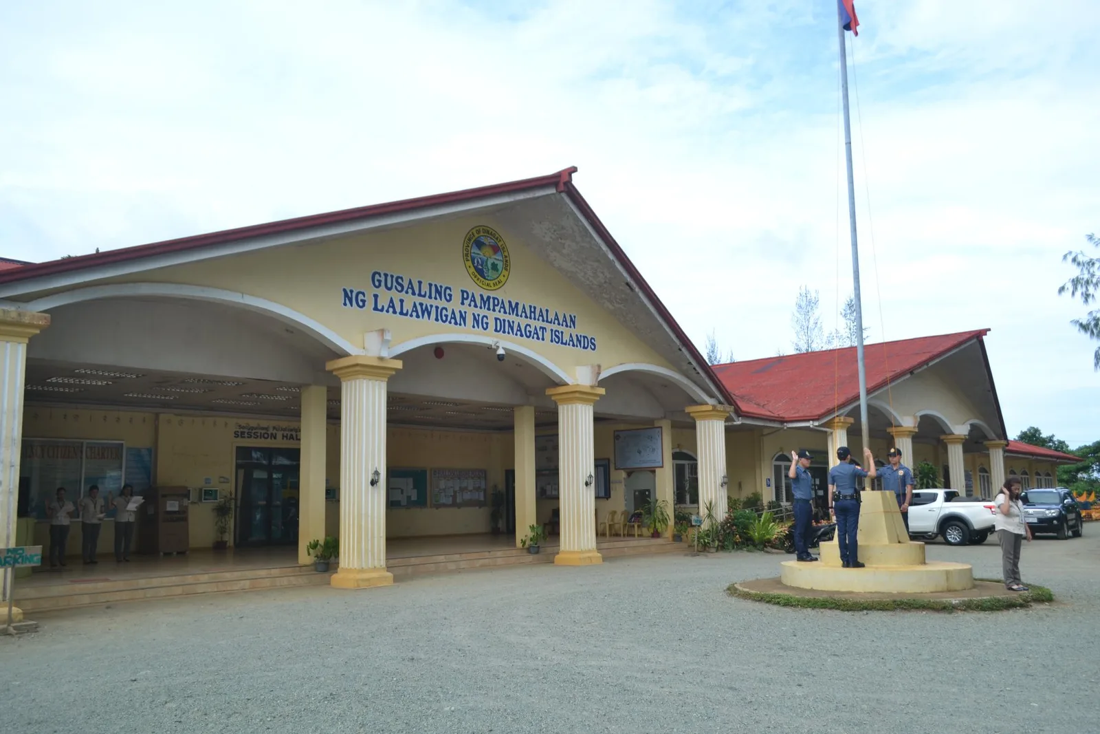
The provincial government's hall, finished in 2024, with a design based on the Japanese Yamato-class battleship of the Battle of Surigao Strait in World War II.
A waterfall of many tiers in the forest at New Tubigon, a far barangay of Sibagat, and one of the places people visit in that town. Local belief holds it to be the longest running waterfall in the region. The …
The largest wetland in the Philippines, and the biggest marsh in Southeast Asia, spread across the middle of the Agusan River basin. It holds nearly 15 percent of the country's fresh water in swamp forests. Manobo families live deep inside …
The highest peak in Caraga at 2,012 metres, climbed each year on trips that trekkers and mountaineers organise. There are also organised climbs up Mount Mas-ai, a plateau at Putting Bato with a lake on top.
A museum of Islamic art and Moro culture in a white building in Marawi, a city on Lake Lanao where the Maranao people are the main inhabitants. It holds the biggest Filipino Muslim collection in the country. The collection covers …
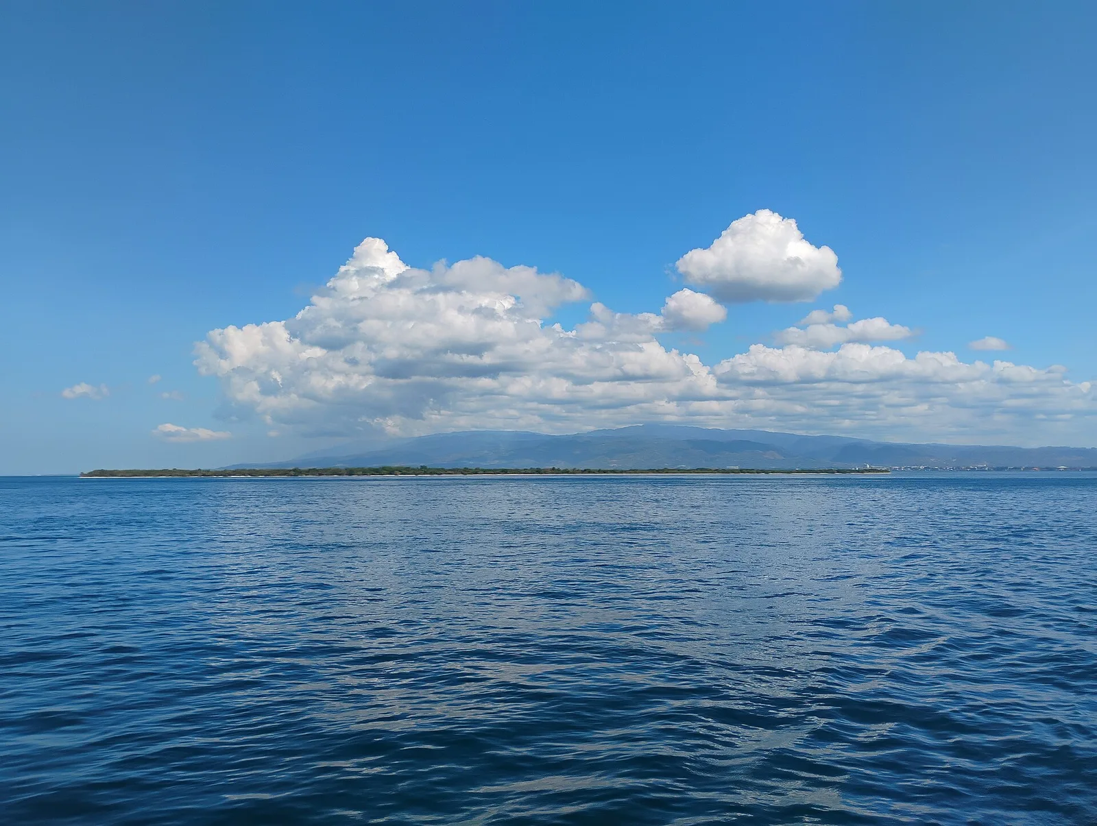
A beach of pink sand on an island off the city. National Geographic listed it in 2018 among the "World's 21 Best Beaches", and arrivals that year reached almost 100,000. A day trip to the island also takes in the …
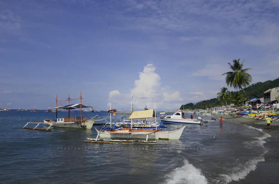
Four coves of coral reef closed to fishing, on the coast of Kiamba. Only one of the coves, Tuka 2, is open to the public.
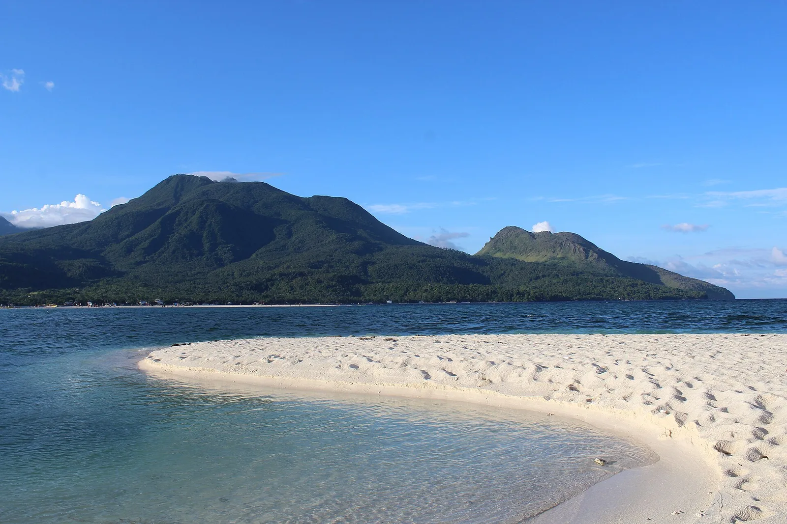
One of the country's active volcanoes, a stratovolcano 1,332 metres high on the Pacific ring of fire, also known as Catarman Volcano. It has six hot springs and three craters. The eruption of 4 December 1951 destroyed nearly 19 square …
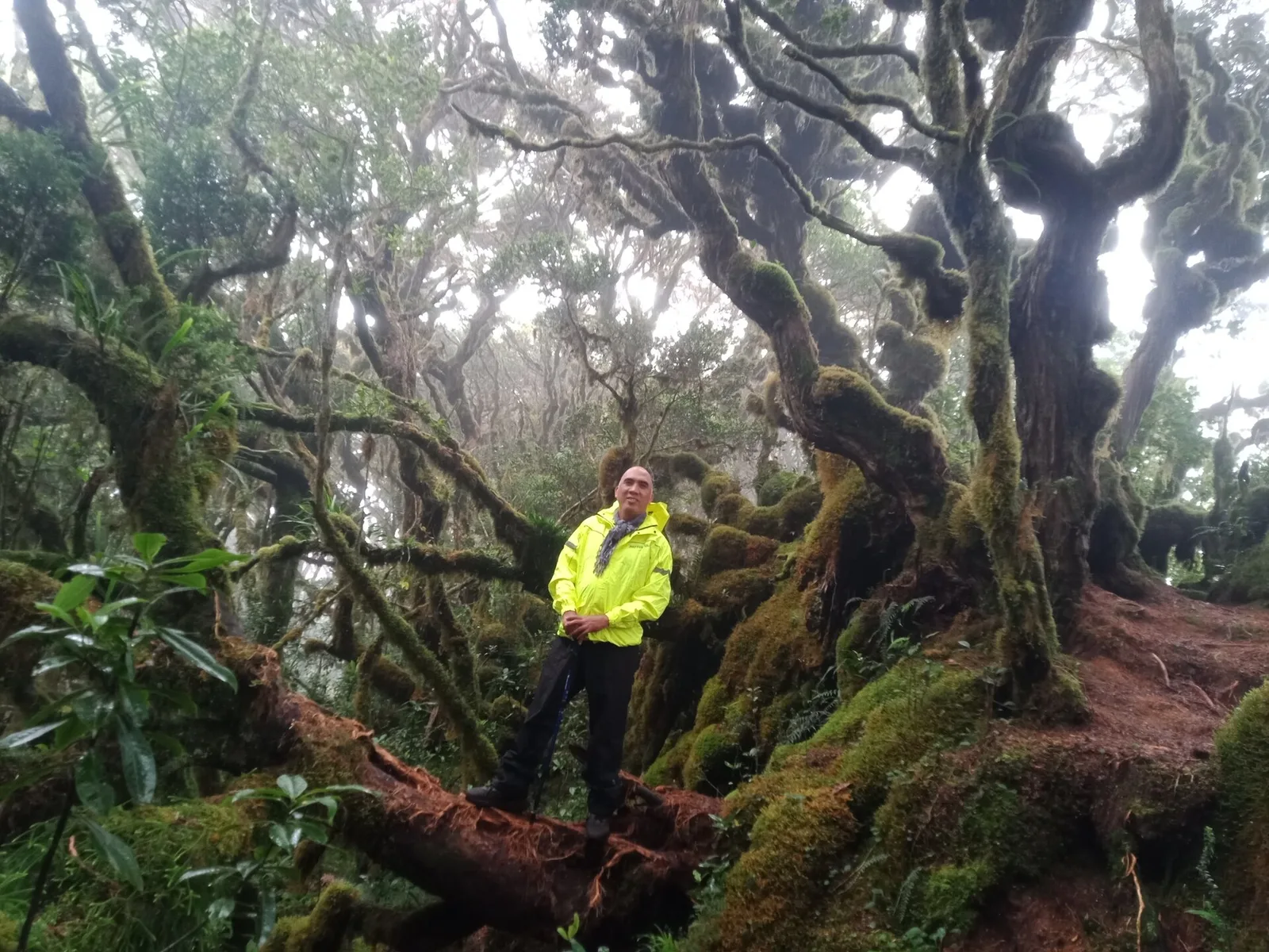
The second highest mountain in the country at 2,938 metres, in the Kitanglad Mountain Range. Indigenous people of Bukidnon hold it sacred, and it stands inside their ancestral domain. You must get permission from the Talaandig tribal leaders of Lantapan …
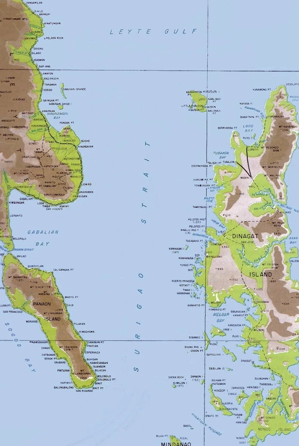
A Waray-speaking island at the north end of Surigao Strait, where the strait meets Leyte Gulf. It lies northwest of Dinagat Island and belongs to the municipality of Loreto. With the smaller Little Gibusong next to it, the island makes …
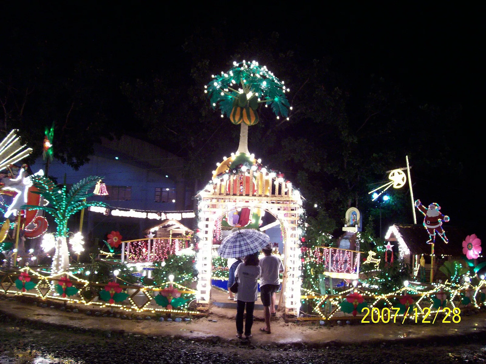
The city fills with lit Christmas decorations for a month each year. People call Tangub the Christmas Symbols Capital of the Philippines.
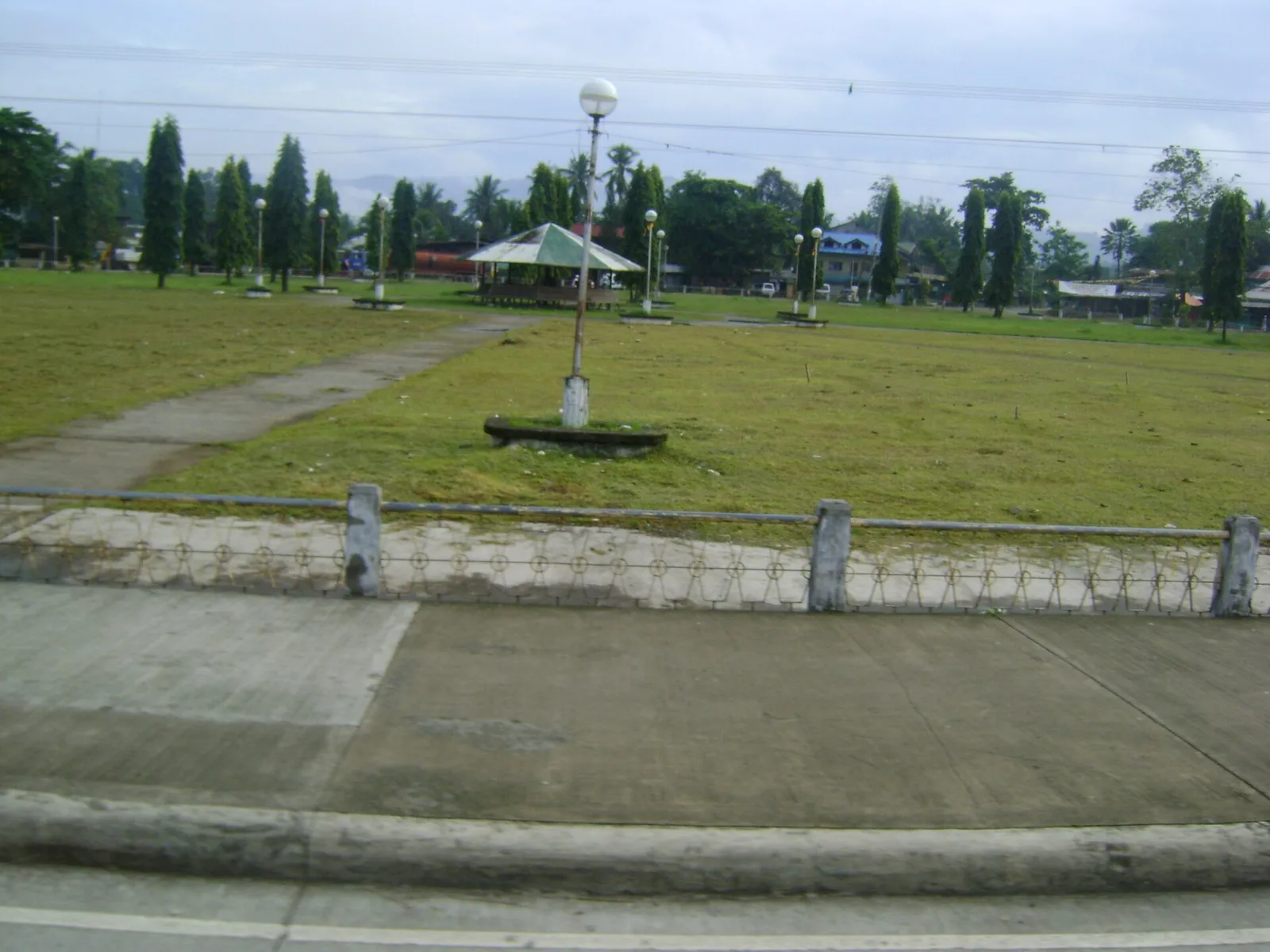
A local version of Cebu's Sinulog, danced in the streets for the Holy Child on the last Sunday of January. The dances show the indigenous tribes of Bayugan and the way they live.
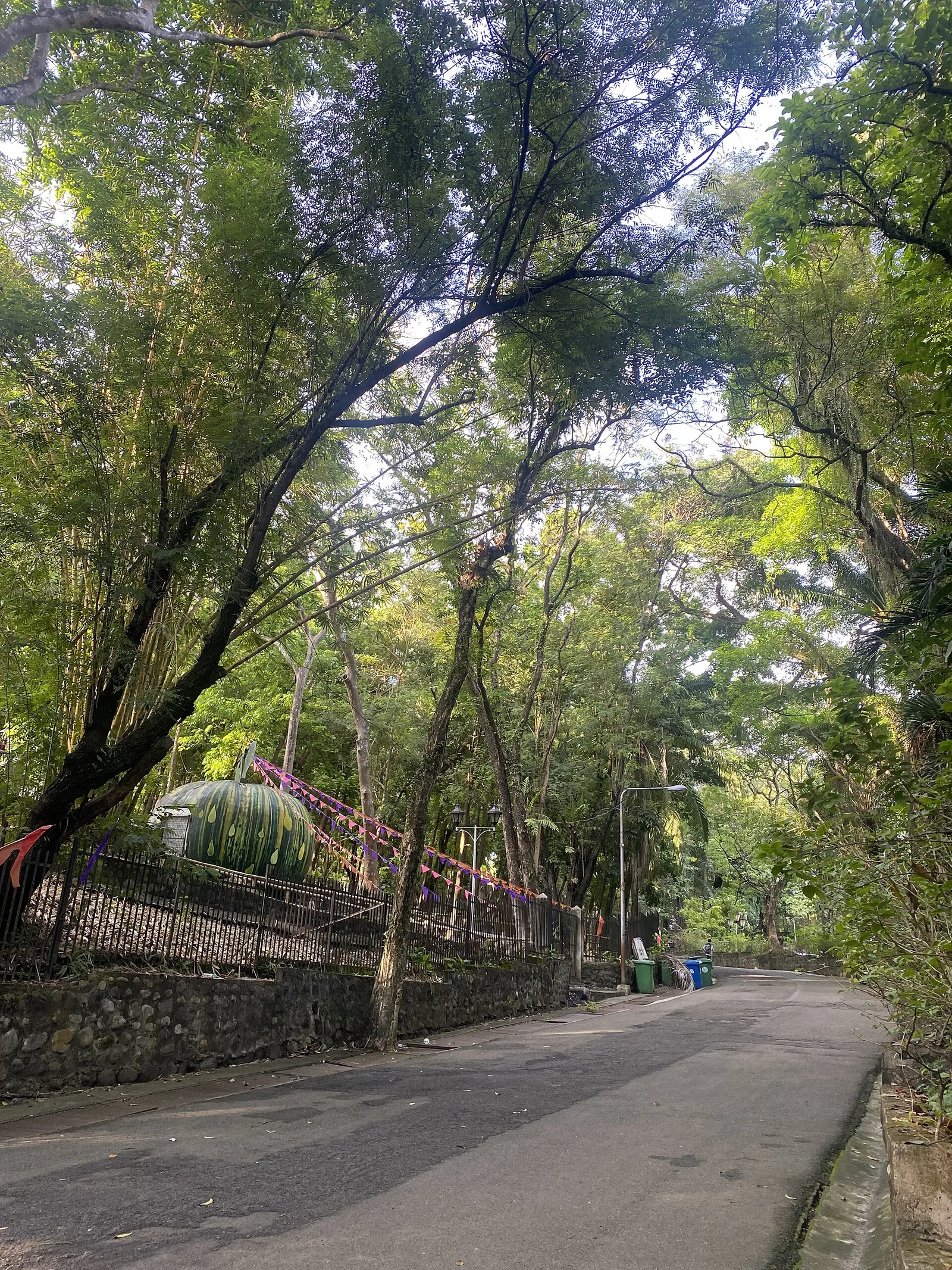
Traversed by a gently rippling stream, this park is the only one of its kind in the country. It abounds with trees, flowering plants, ferns, shrubs and 600 different species of orchids. Mindanao Governor John J. Pershing started the construction …
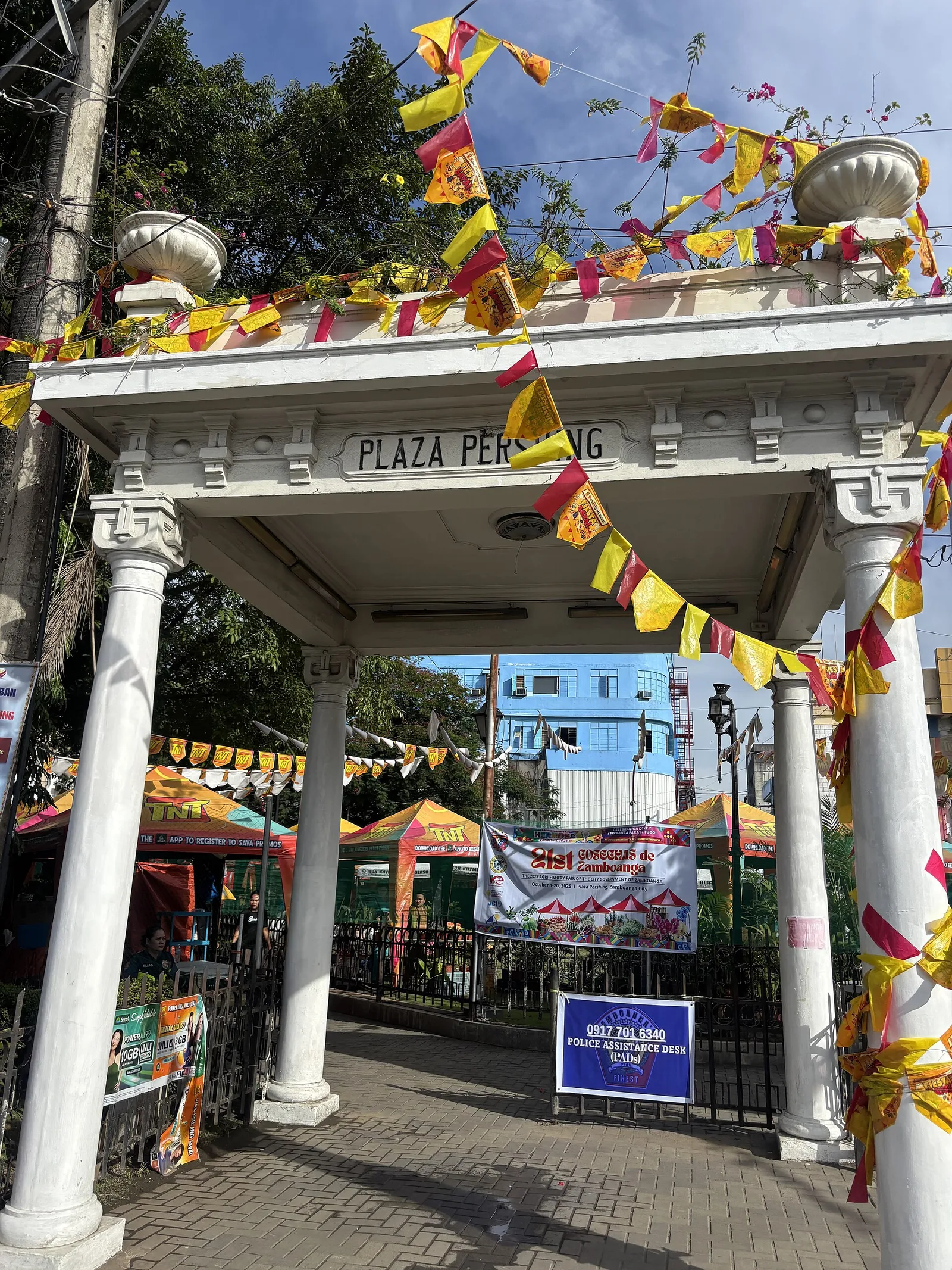
Plaza Pershing honors American general John Joseph "Black Jack" Pershing (1860 –1948) who defeated Muslim insurgents in the region.
Papa Bulls in the swampy mangrove area within the municipal complex of the Municipality of Simunul. This crocodile is now a major tourist attraction where several people come to view it.
This resort offers access via steps to Pujada Bay for kayaking, swimming, and freediving. A small cafe offers simple drinks and meals. Tent camping and lodging also available