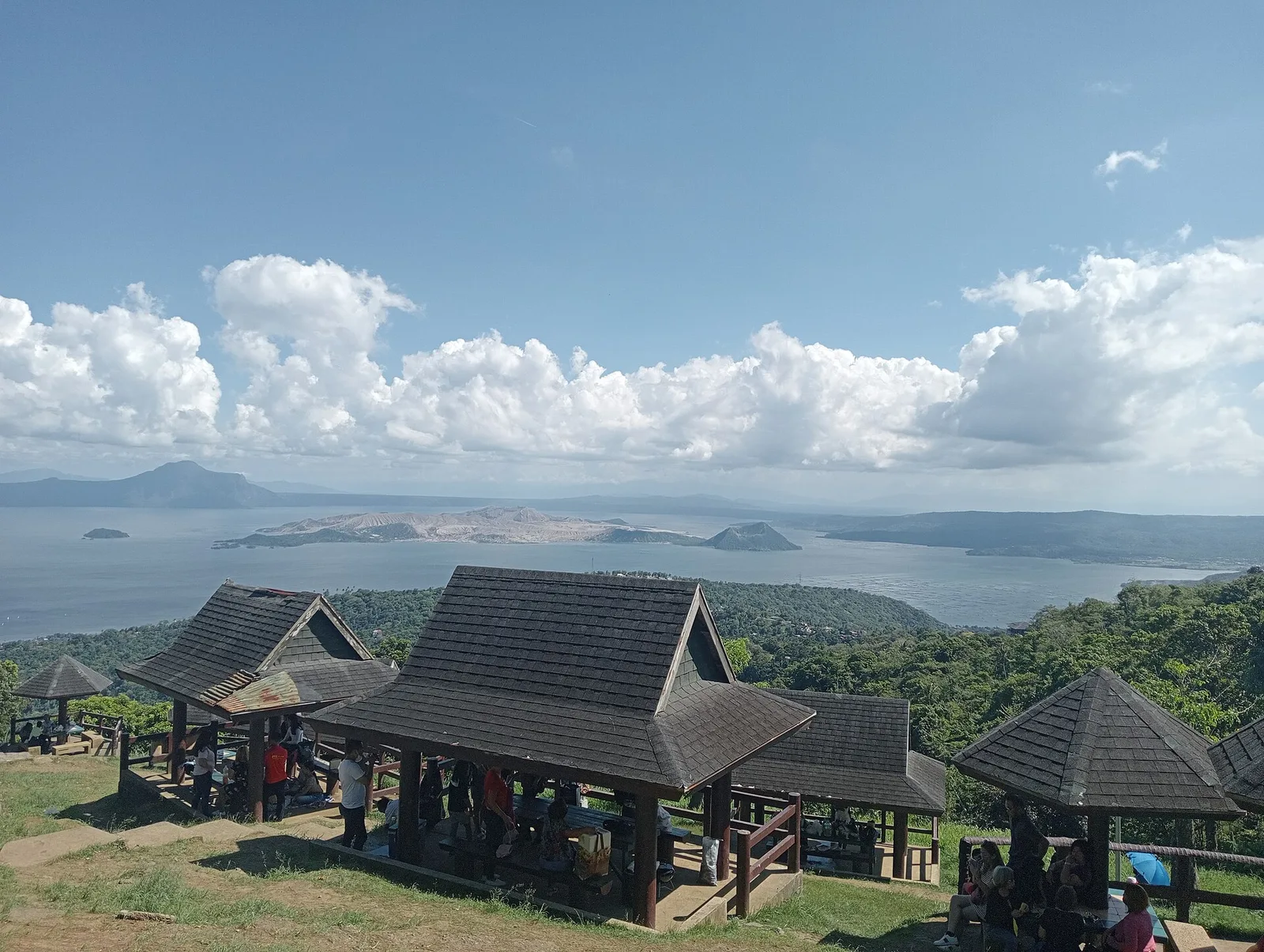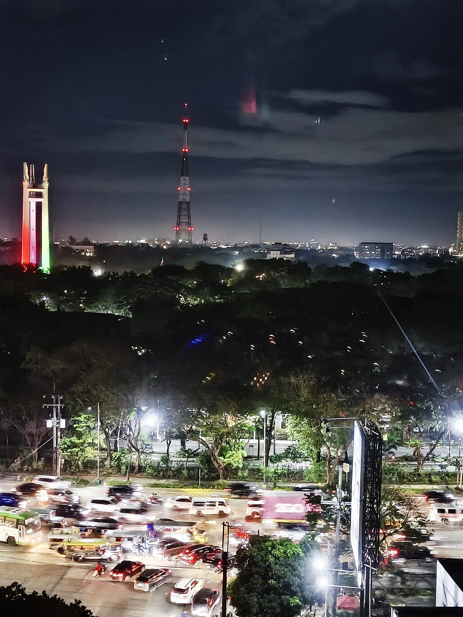
Quezon Memorial Circle
The main park of the city, laid out inside the large roundabout of Elliptical Road. At its centre is a mausoleum 66 metres tall that holds the remains of Manuel L. Quezon, the second president of the Philippines, and of …
The main park of the city, laid out inside the large roundabout of Elliptical Road. At its centre is a mausoleum 66 metres tall that holds the remains of Manuel L. Quezon, the second president of the Philippines, and of …
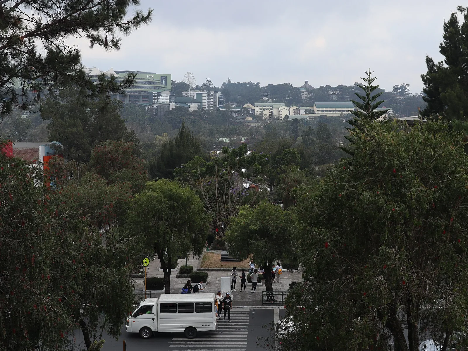
The city's central park: a boating lagoon, a bike loop and a skating rink, laid out by Daniel Burnham in the American period. Burnham was the American architect who drew the city plan for Baguio, and the park, officially the …
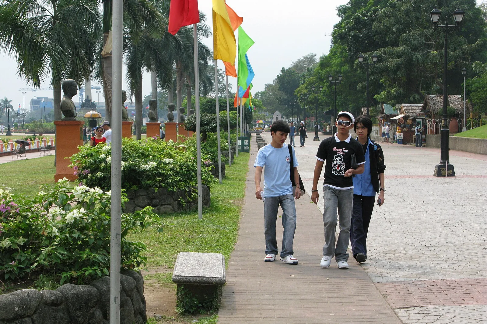
The park around the monument to José Rizal, where he was executed in 1896. It covers 58 hectares in Ermita, next to Intramuros and facing the eastern shore of Manila Bay. Rizal's remains lie in the stone base of the …
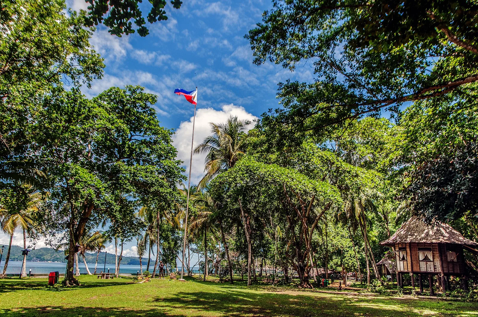
The farm where Jose Rizal spent four years of exile, from 1892 to 1896, kept as a park on a hilly peninsula that faces Dapitan Bay. It is about one kilometre northwest of the city proper, in Barangay Talisay. The …
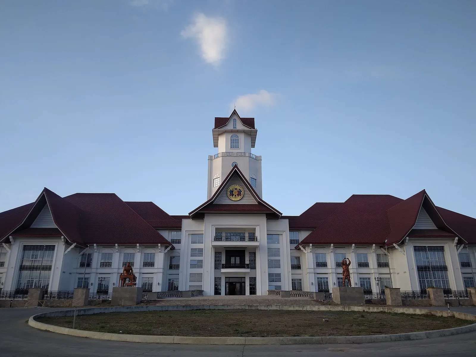
The city government broke ground in 2021 on this park, a 1.8 hectare site in Barangay Lapidario near the provincial capitol, now known as Trece Martires People's Park. It took over part of the role once played by the city's …
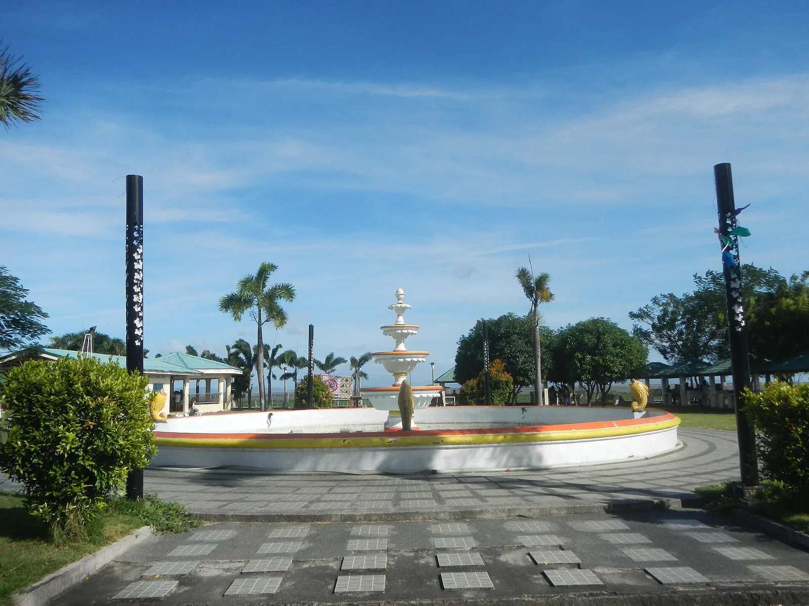
A lakefront park on the shore of Laguna de Bay, with a boardwalk and a pier that run out over the water. The 0.7-hectare park has pavilions, a central fountain, a covered court, cycling and running tracks, food and drink …
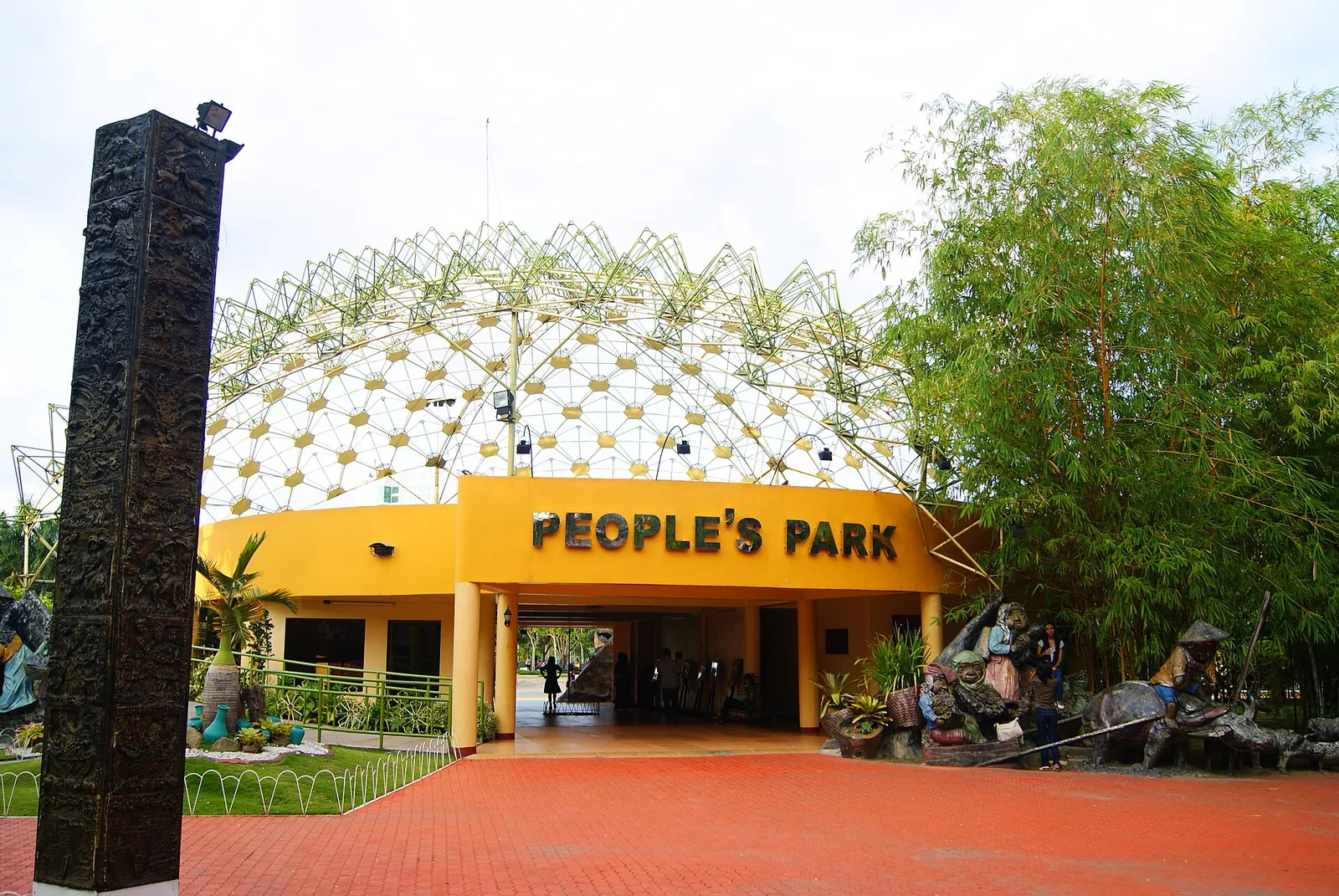
A city park of sculptures of Mindanao's indigenous peoples, with a dancing fountain in the evening. It sits in the centre of the city. The park covers 4 hectares, laid out on the old city playground and opened in December …
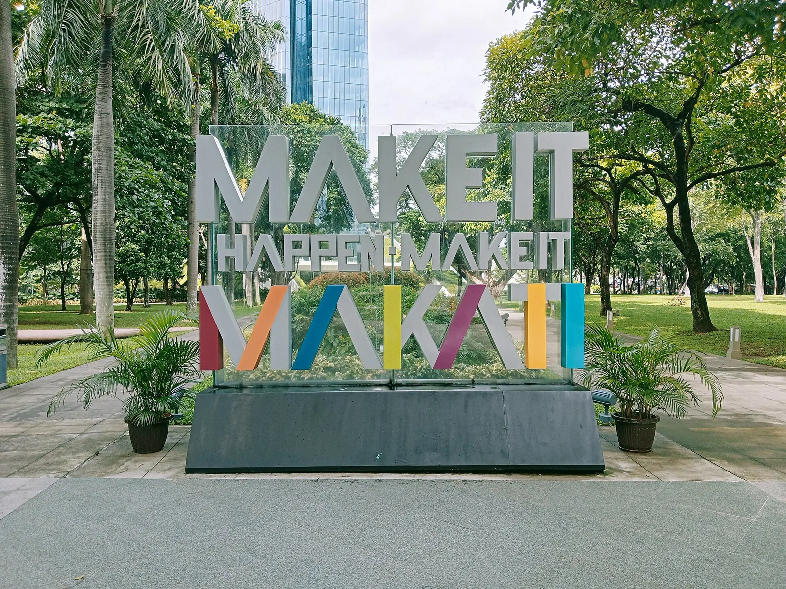
A 2-hectare garden in the middle of the Makati business district, planted with palms, acacia trees and tropical greenery. Ayala Land opened it to the public in November 2009, and it is one of the largest green areas in the …
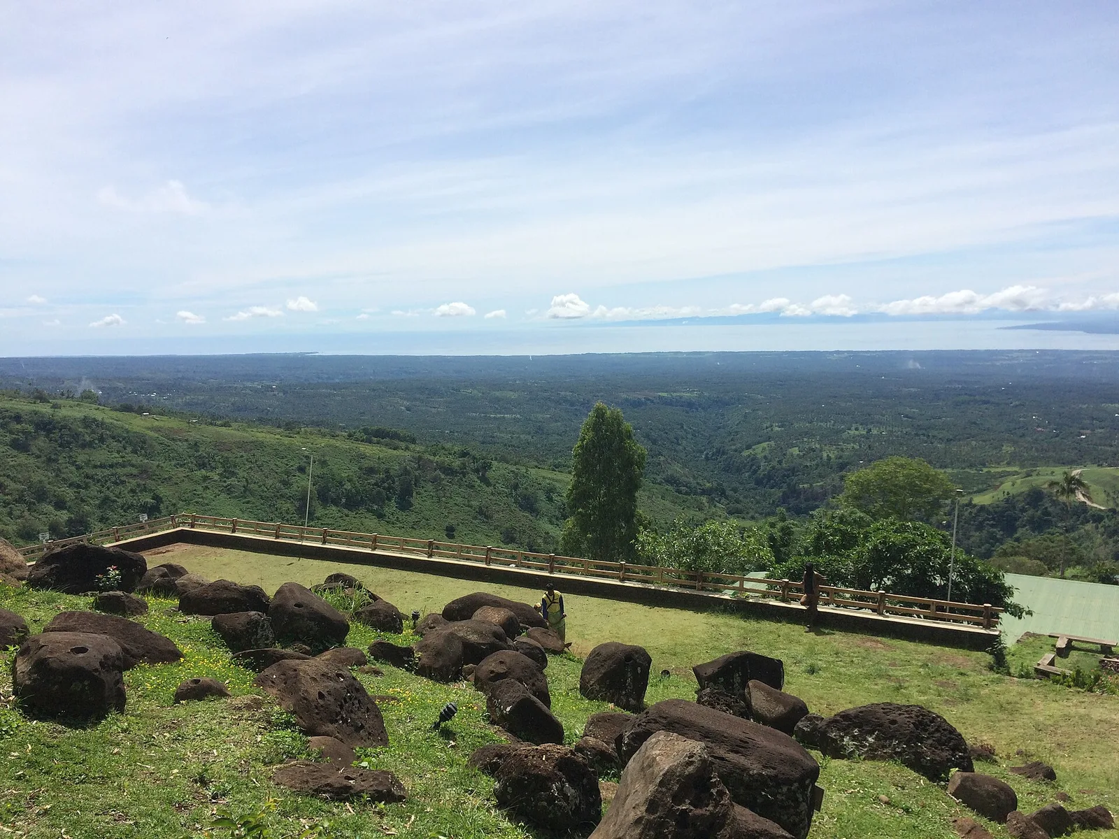
A nature park on the slopes of Mount Malindang, 850 metres above sea level and on the outskirts of the city. It has a stone chapel, an organic herbal garden and an agricultural learning institute, and the view takes in …
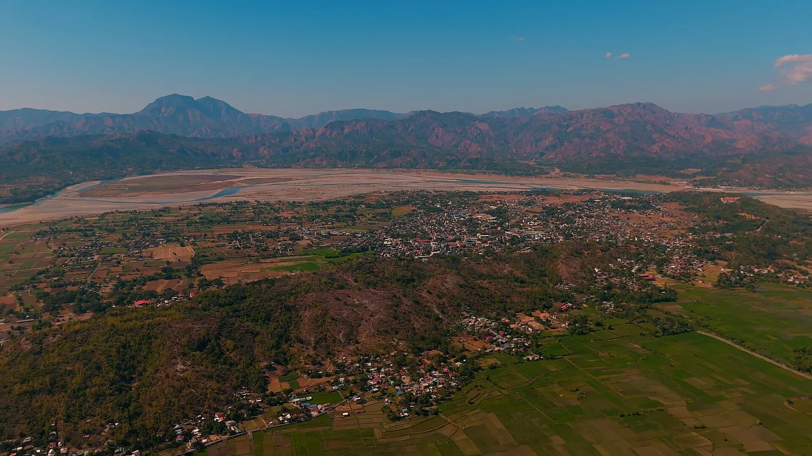
The hill above Bangued, a protected park of 57 hectares climbed by a winding road or on foot by concrete stairways. From Victoria Park at the summit you look down on the town and along the whole Abra River valley, …
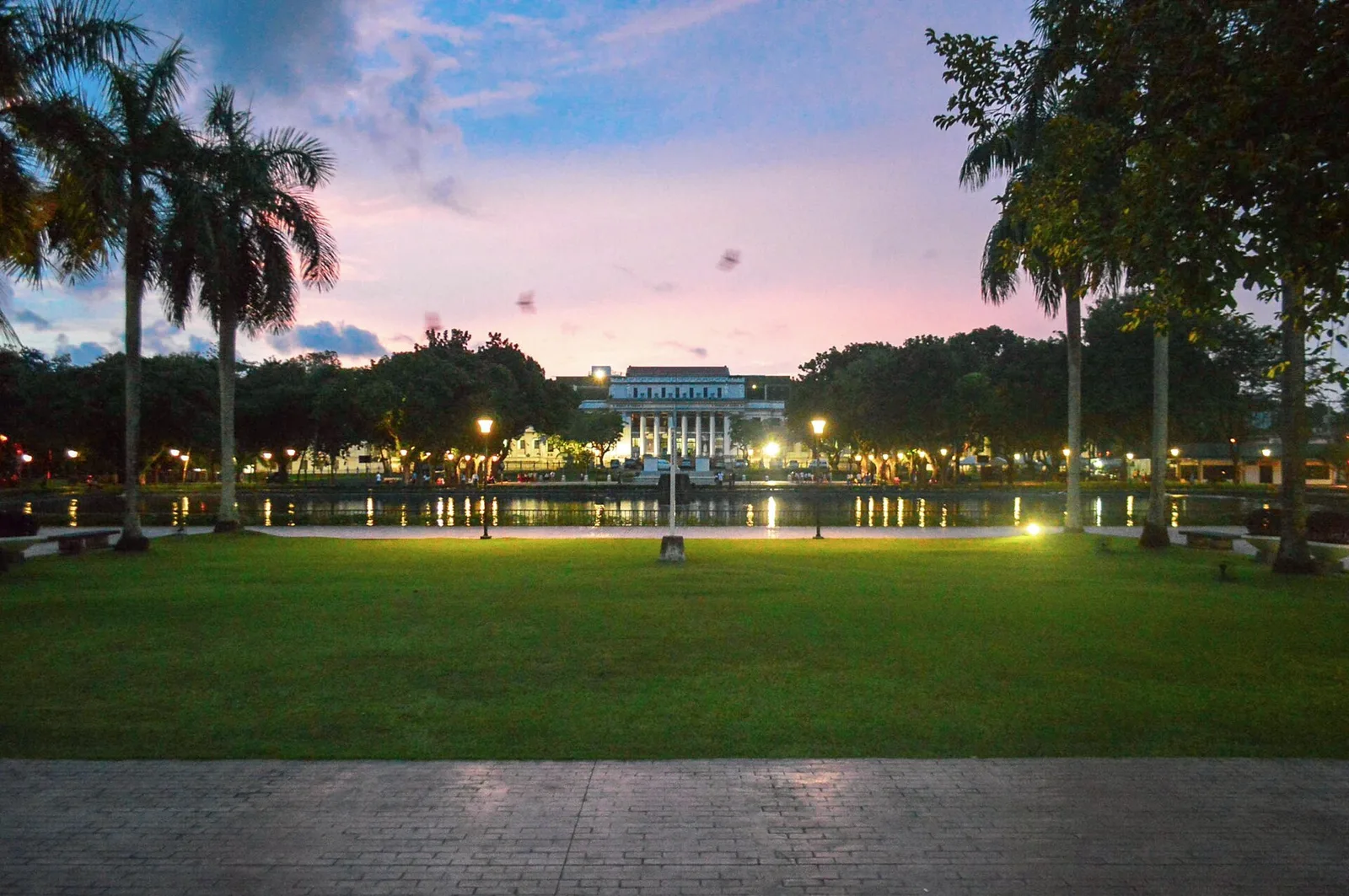
A lagoon with a park around it, in the middle of the city. Matching sculptures stand at the two ends of the water: a woman beside a water buffalo at the north end, and a man pulling another water buffalo …
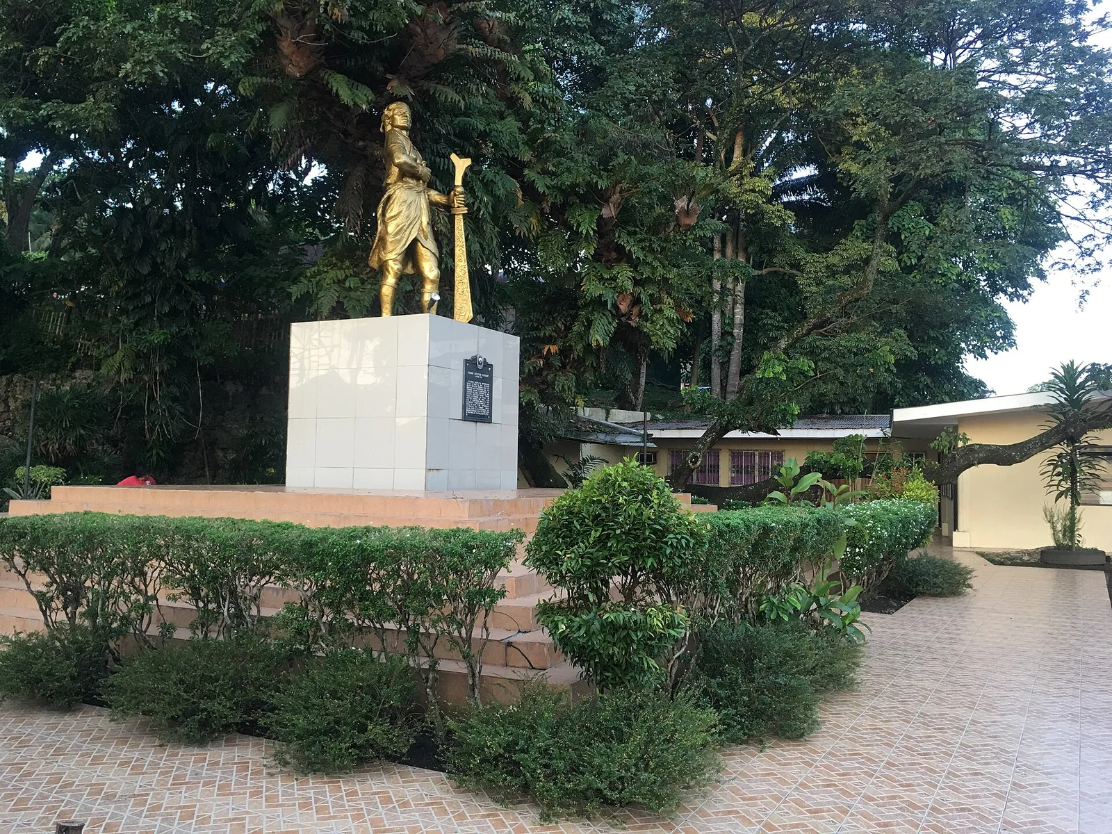
A historical park at the corner of Quezon Avenue and Sinsuat Avenue, with a monument to Sultan Muhammad Kudarat of Maguindanao. It sits at the foot of Pedro Colina Hill, which people also call Tantawan, next to the Immaculate Conception …
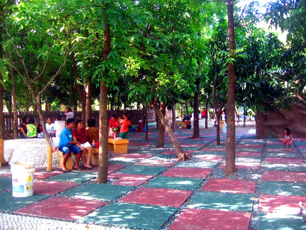
An 8-hectare park in Maybunga with a mini zoo, a boating lagoon, a zip line, an obstacle course and a skatepark. It opened in 1977 and was relaunched in 2013 as the Rainforest Adventure Experience. A renovation unveiled in October …
A green park in Barangay Tiza, in front of Capiz National High School, with pocket gardens and three monuments to the history and the cultures of Roxas City.
A wooded hill at a bend in the Masao River, above Butuan Bay and the ground where ancient Butuan stood. Many hold it to be the place where Magellan and his men said the first Catholic Mass on Philippine soil …
An eco-tourism park built around the old Tabacalera warehouse, the Compania General de Tabacos de Filipinas of the Spanish period. Cauayan was tobacco land, and the company began supplying the Spanish government's tobacco monopoly in 1881. Museo San Luis, inside …
The park in the middle of downtown, laid out in a Japanese theme with acacia trees and a large spurting fountain at the center. The fountain was later replaced by a skating rink. At Christmas the acacia trees are lit …
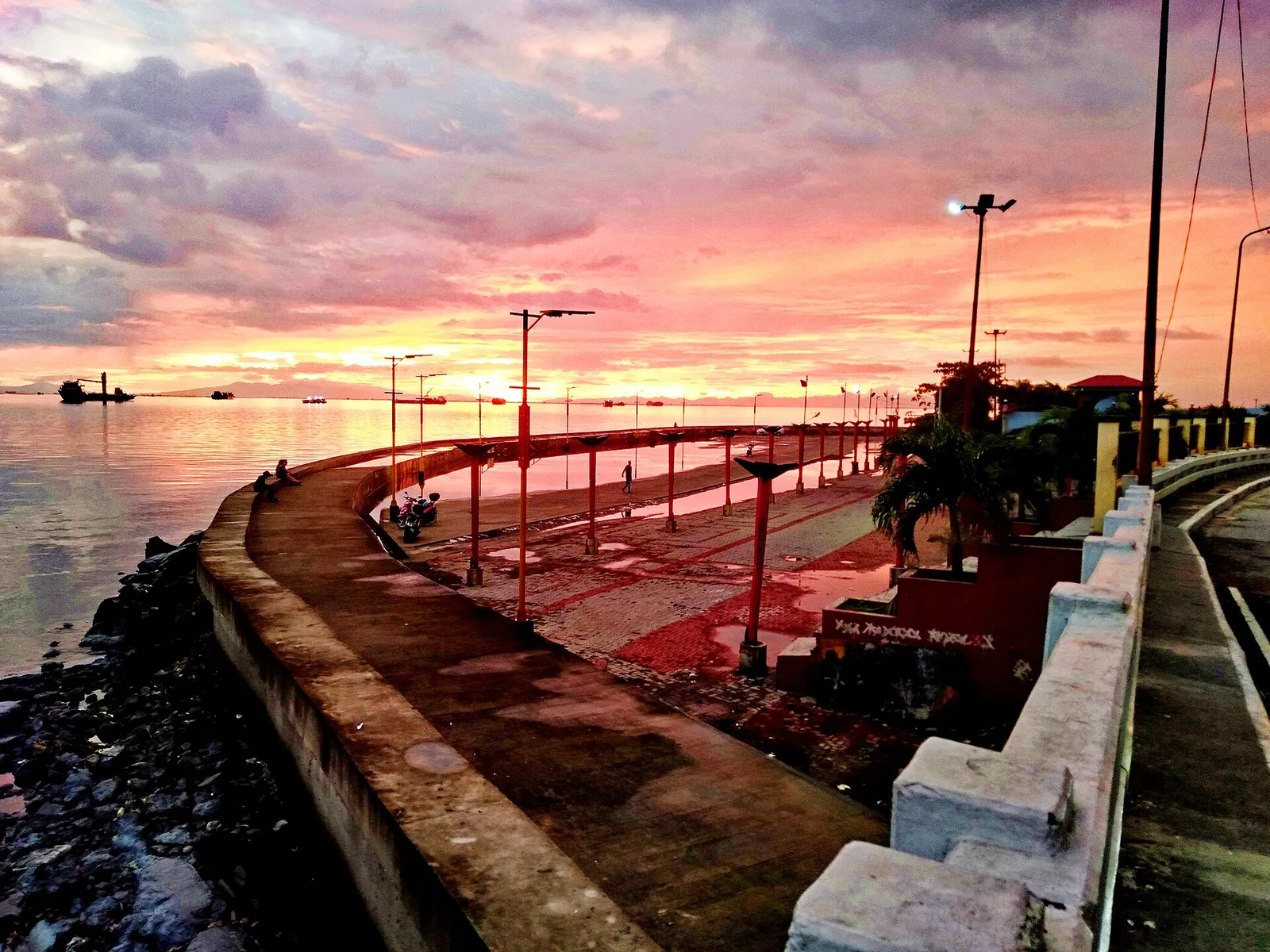
A waterfront park facing Manila Bay, the largest open space in the city and the northern answer to the Baywalk. People jog, stroll and skate along it, between the R-10 Bridge and the Navotas Bus Terminal, past bleachers, lamp posts …
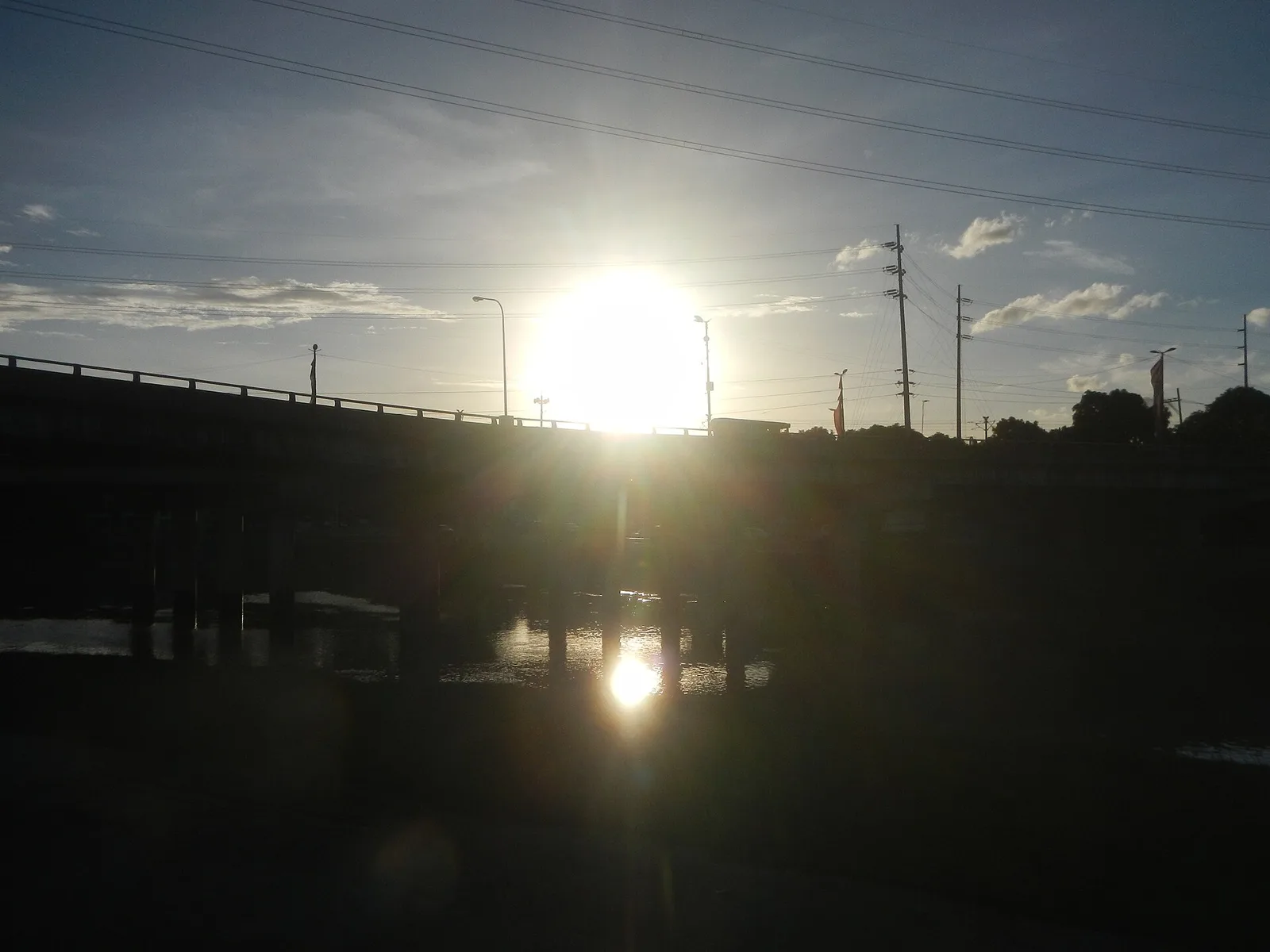
A chain of parks, trails and sports grounds along an 11-kilometre stretch of the Marikina River, 220 hectares in all. It runs through seven villages on the west side of the city and holds the Riverbanks Center, a mall and …
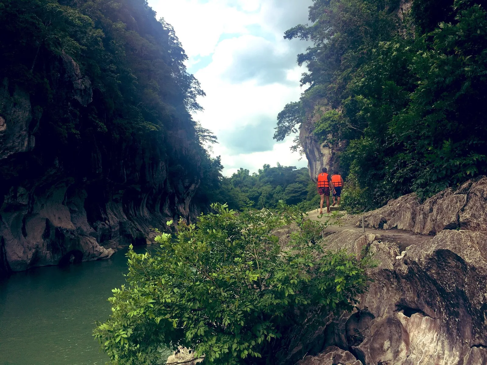
A stretch of the Peñaranda River walled by limestone up to 16 metres high, in the foothills of the Sierra Madre. The park covers 2,018 hectares in General Tinio, next to the boundary with Doña Remedios Trinidad in Bulacan, and …
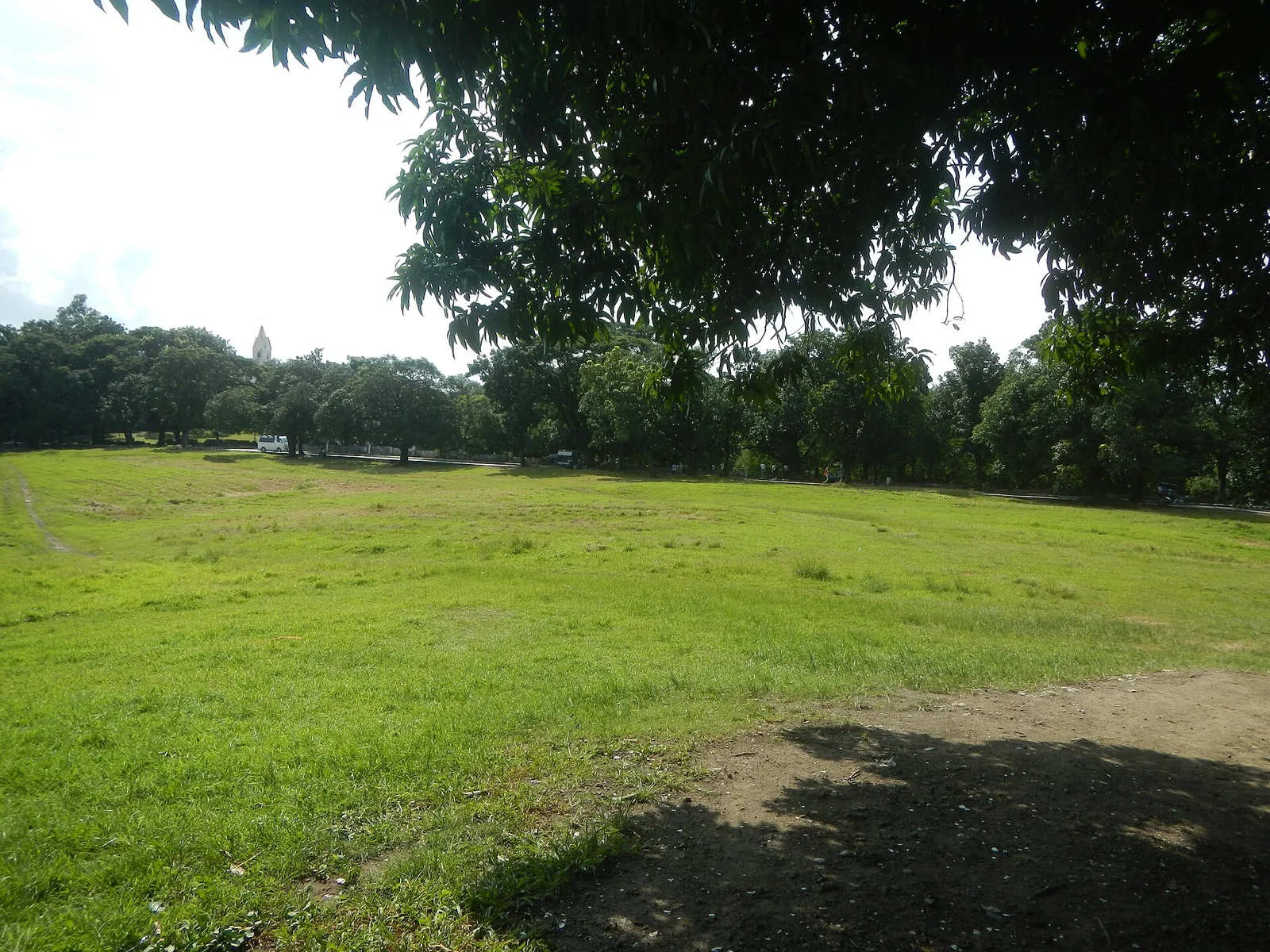
A wide grassy field that lies lower than the land around it, on the south shore of Jamboree Lake inside the New Bilibid Prison reservation. The city government and the Bureau of Corrections run it together, and the city protects …
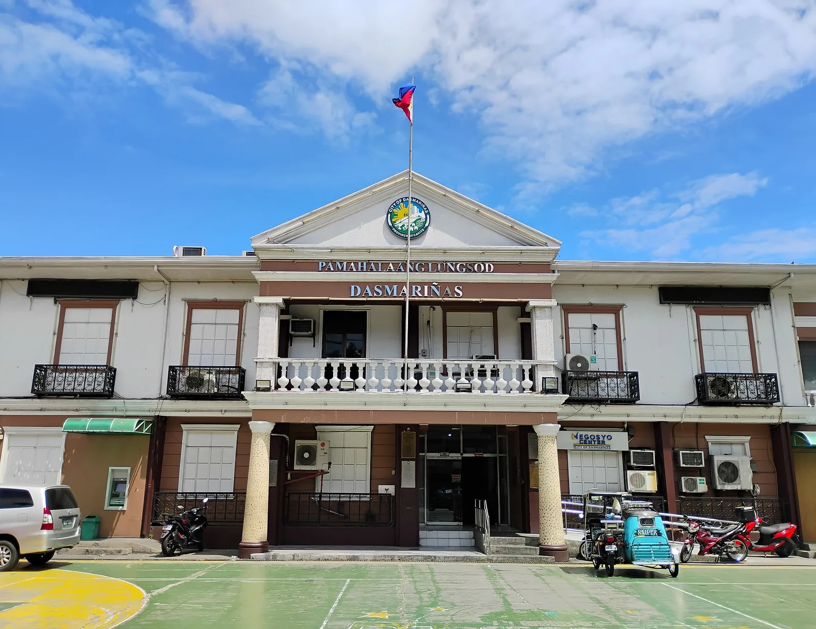
An urban garden park along the tributaries of the Imus River, opened on March 25, 2019. The city built it as part of a plan to clean up and rebuild the river.