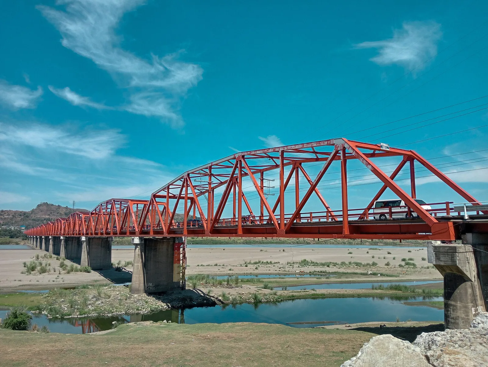
A 3-day plan built from the See, Do and Eat listings in Wikivoyage's Tuguegarao guide. The stops are in an order that keeps each day close together. Check the hours …
Showing 511 to 540 of 1,893
A 3-day plan built from the See, Do and Eat listings in Wikivoyage's Tuguegarao guide. The stops are in an order that keeps each day close together. Check the hours …
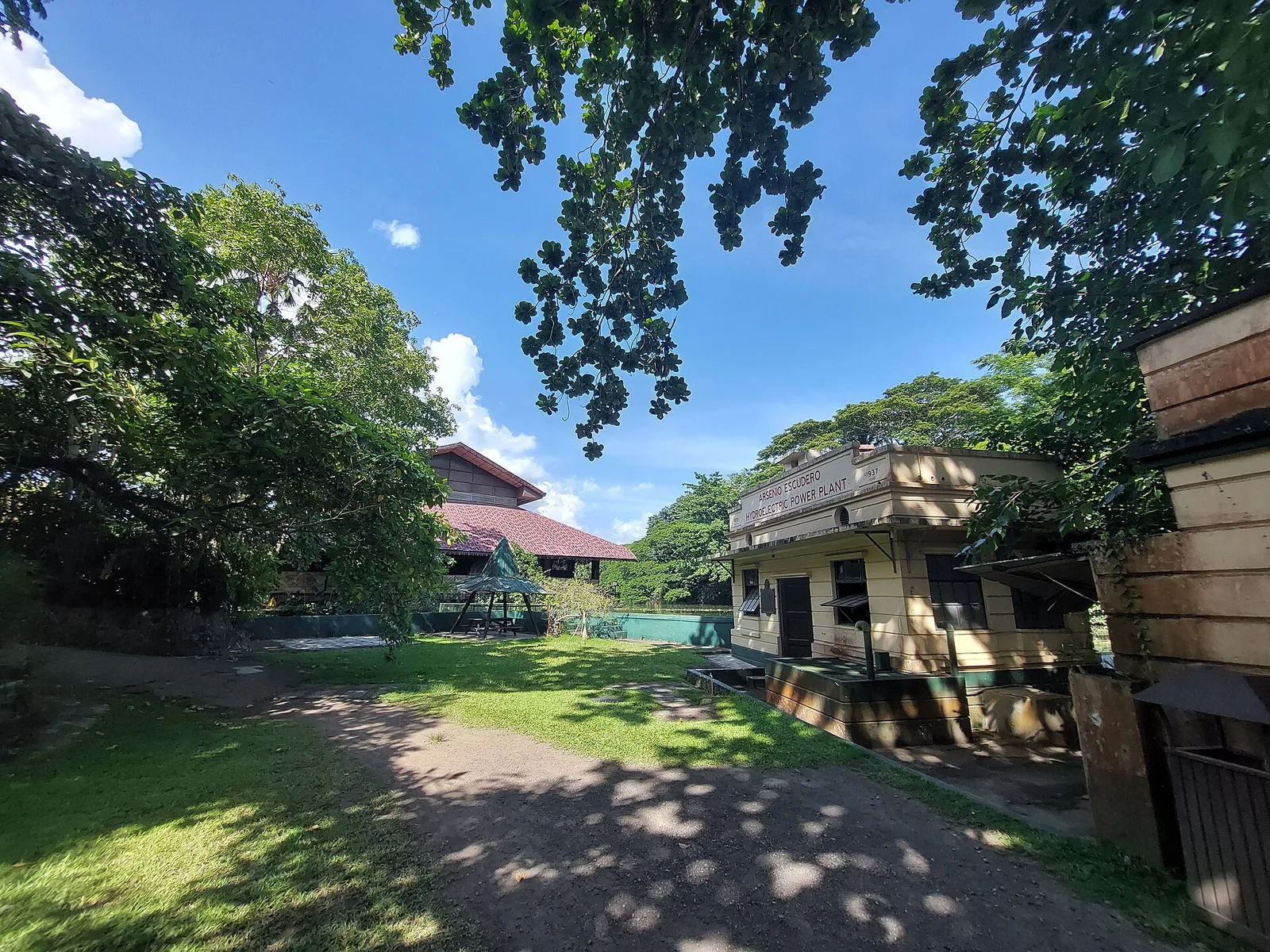
A 2-day plan built from the See, Do and Eat listings in Wikivoyage's Tiaong guide. The stops are in an order that keeps each day close together. Check the hours …
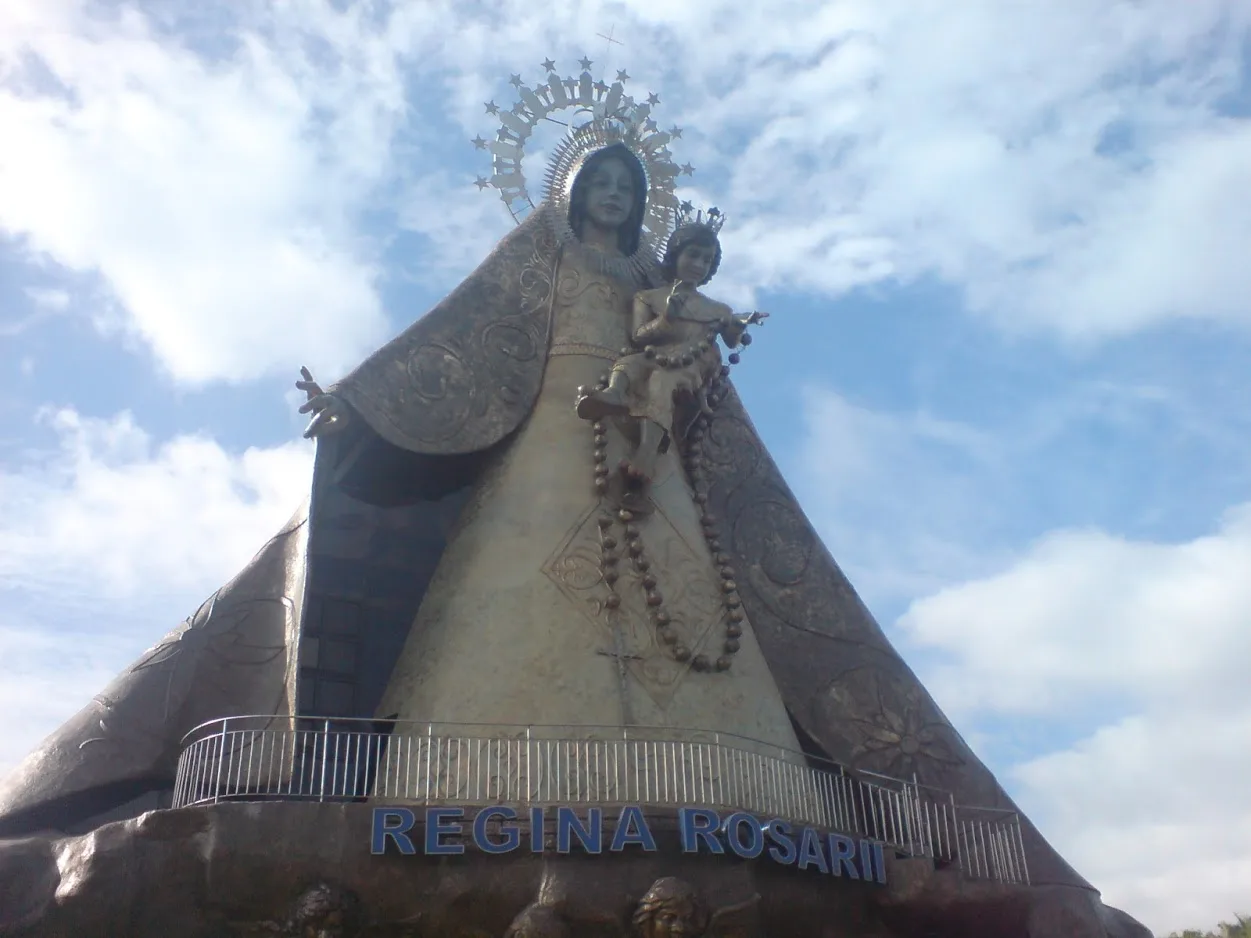
A 3-day plan built from the See, Do and Eat listings in Wikivoyage's Tanay guide. The stops are in an order that keeps each day close together. Check the hours …
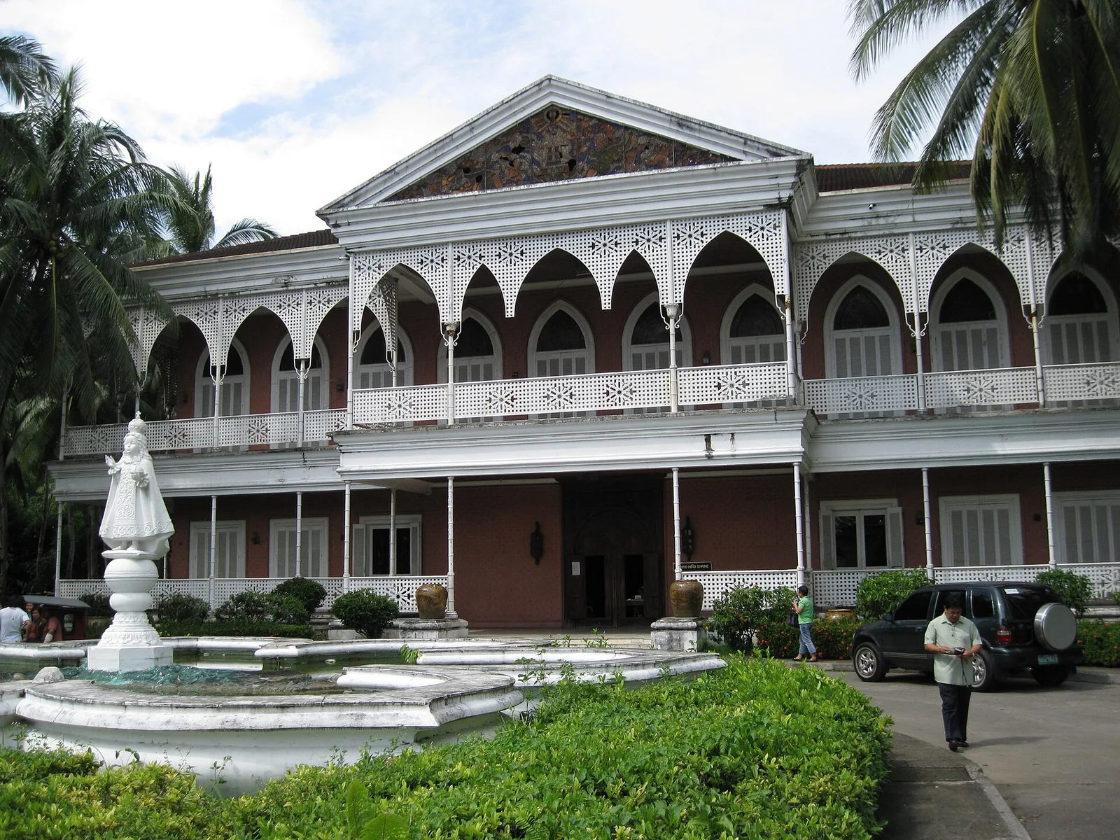
A 2-day plan built from the See, Do and Eat listings in Wikivoyage's Tacloban guide. The stops are in an order that keeps each day close together. Check the hours …
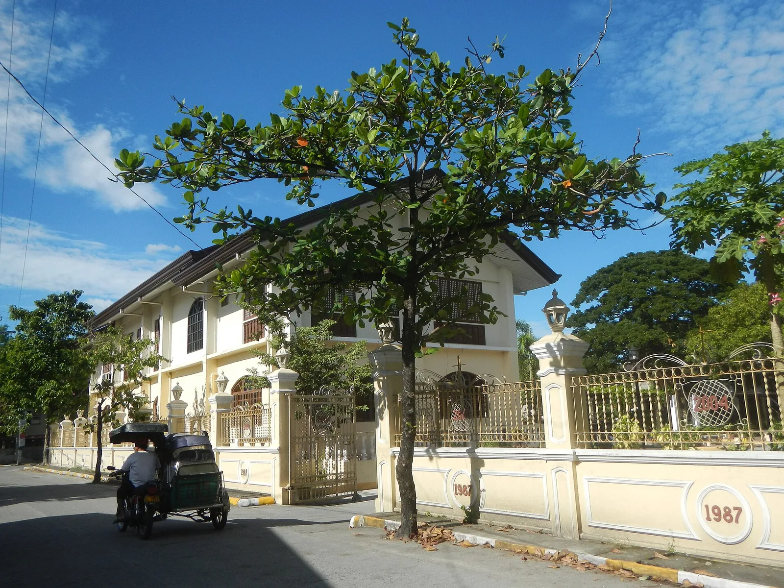
A 3-day plan built from the See, Do and Eat listings in Wikivoyage's Santa Rita guide. The stops are in an order that keeps each day close together. Check the …
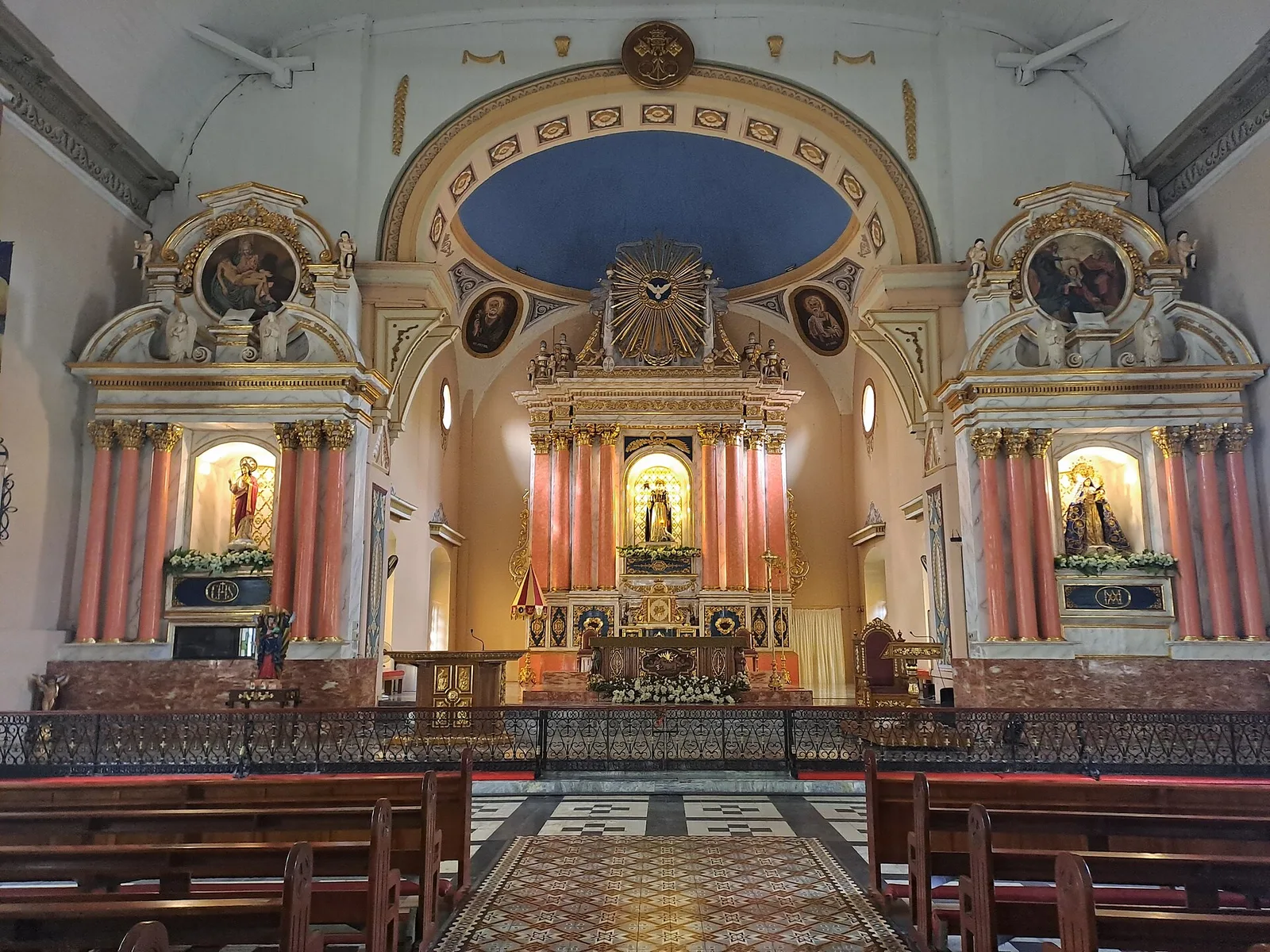
A 2-day plan built from the See, Do and Eat listings in Wikivoyage's San Carlos (Pangasinan) guide. The stops are in an order that keeps each day close together. Check …
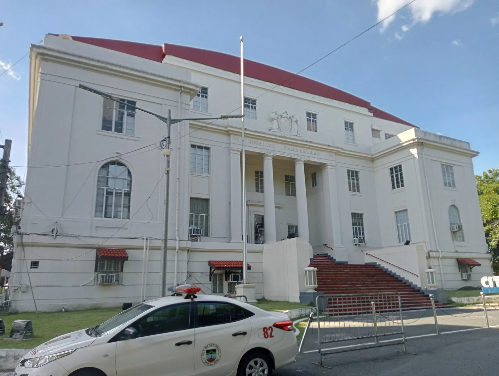
A 3-day plan built from the See, Do and Eat listings in Wikivoyage's San Pablo (Laguna) guide. The stops are in an order that keeps each day close together. Check …
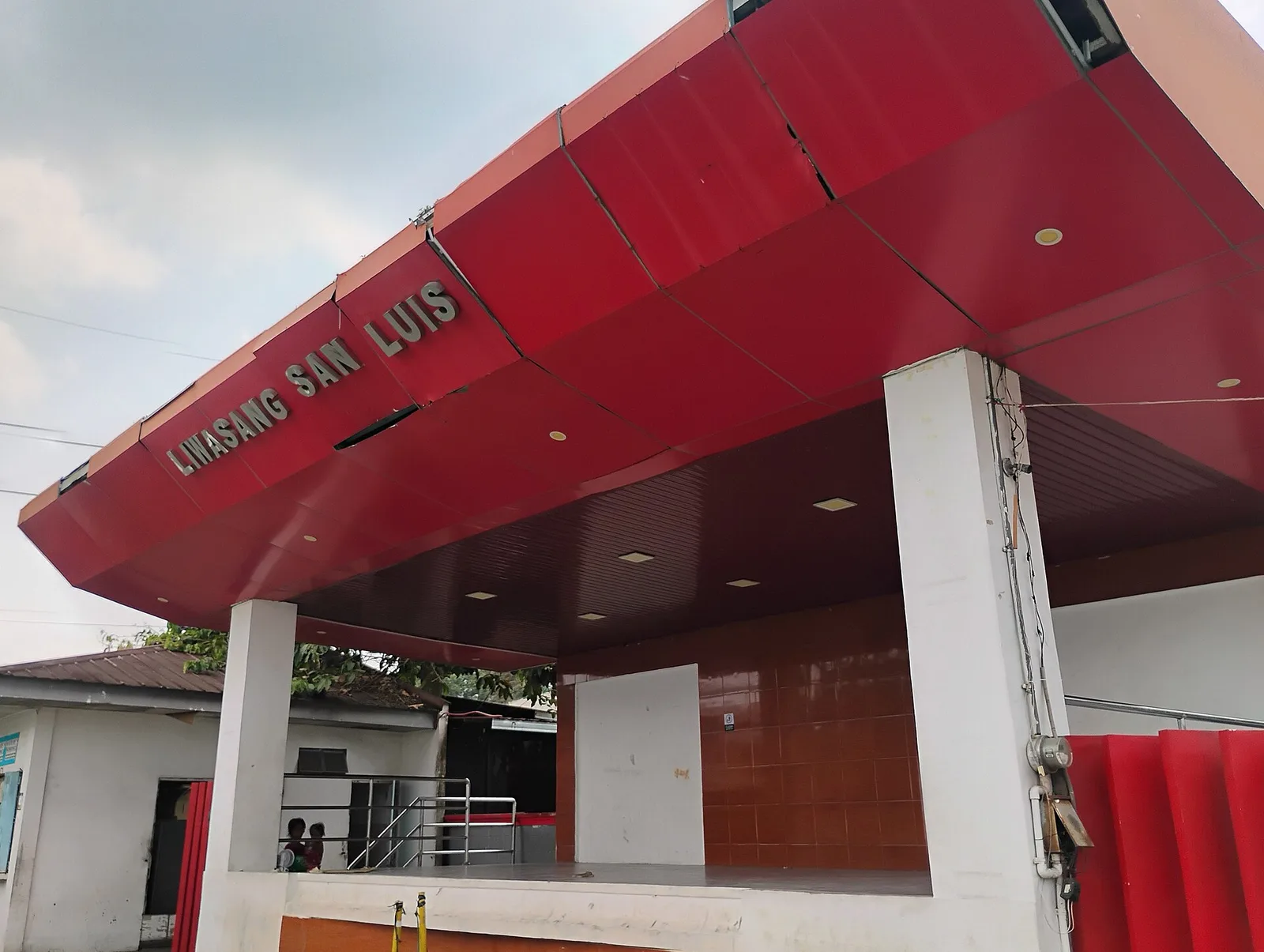
A 2-day plan built from the See, Do and Eat listings in Wikivoyage's Pangil guide. The stops are in an order that keeps each day close together. Check the hours …
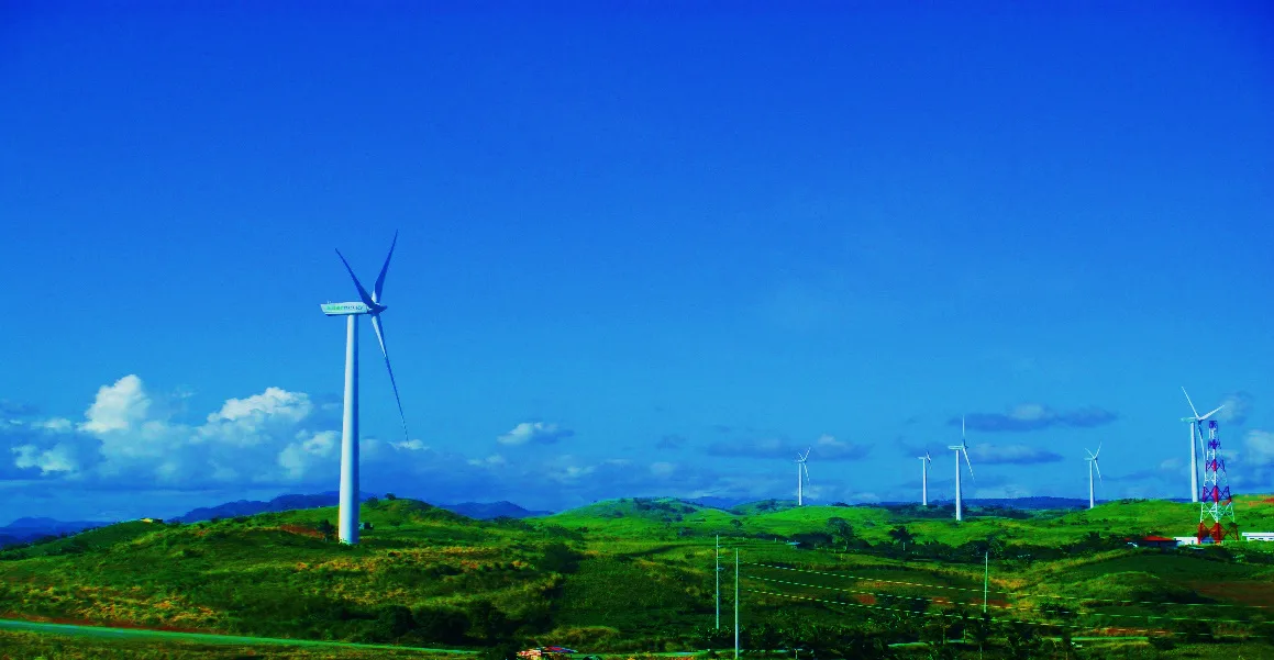
A 2-day plan built from the See, Do and Eat listings in Wikivoyage's Pililla guide. The stops are in an order that keeps each day close together. Check the hours …
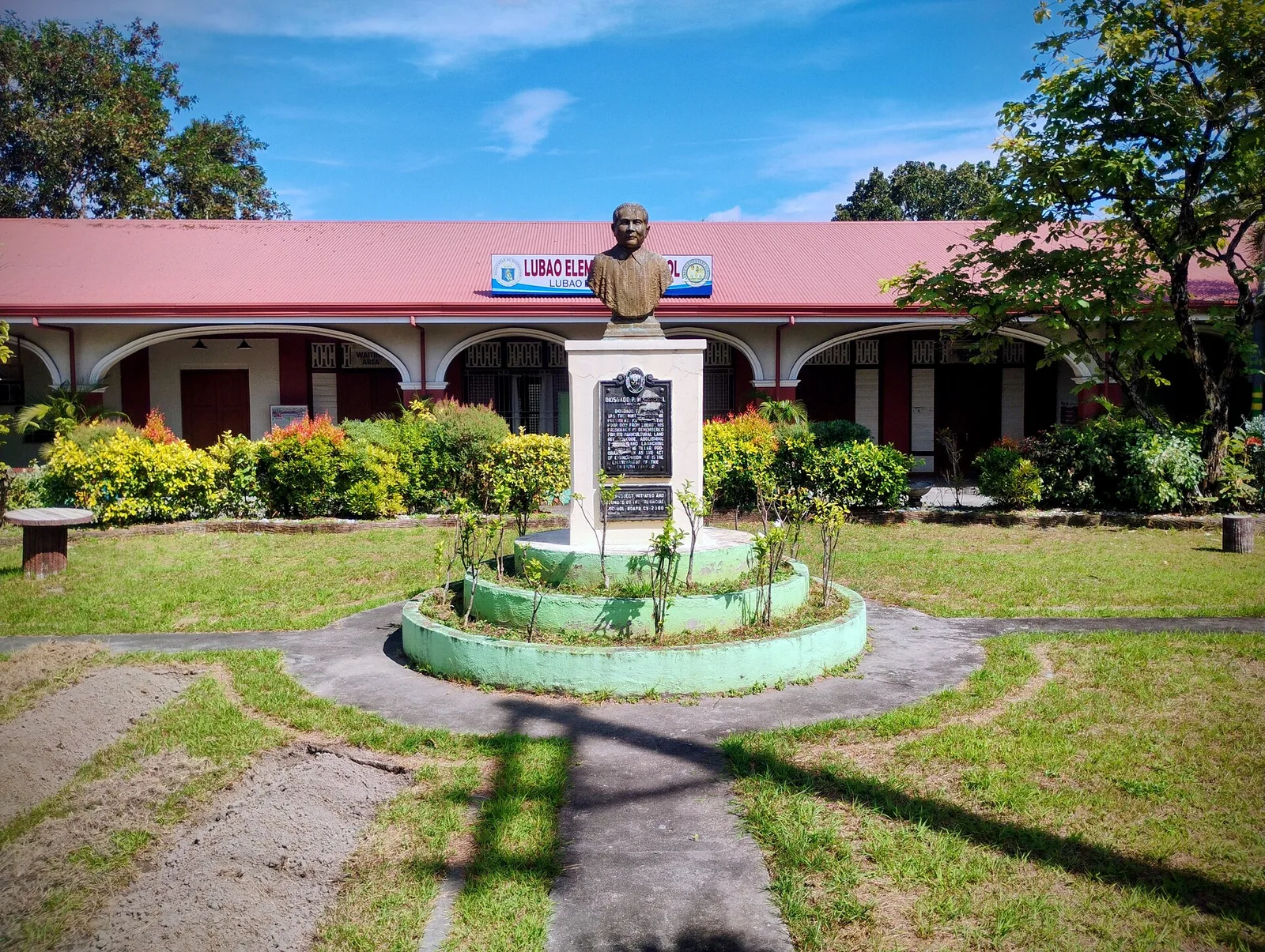
A 2-day plan built from the See, Do and Eat listings in Wikivoyage's Lubao guide. The stops are in an order that keeps each day close together. Check the hours …
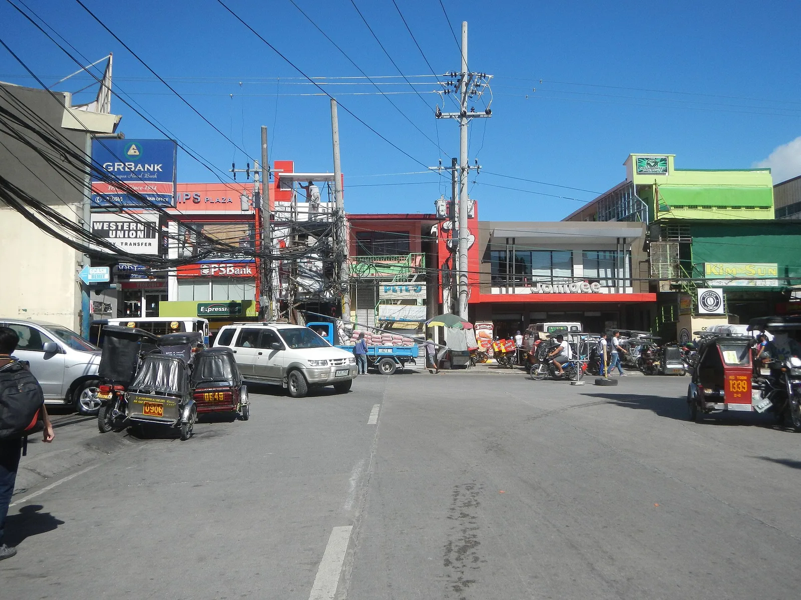
A 3-day plan built from the See, Do and Eat listings in Wikivoyage's Guagua guide. The stops are in an order that keeps each day close together. Check the hours …
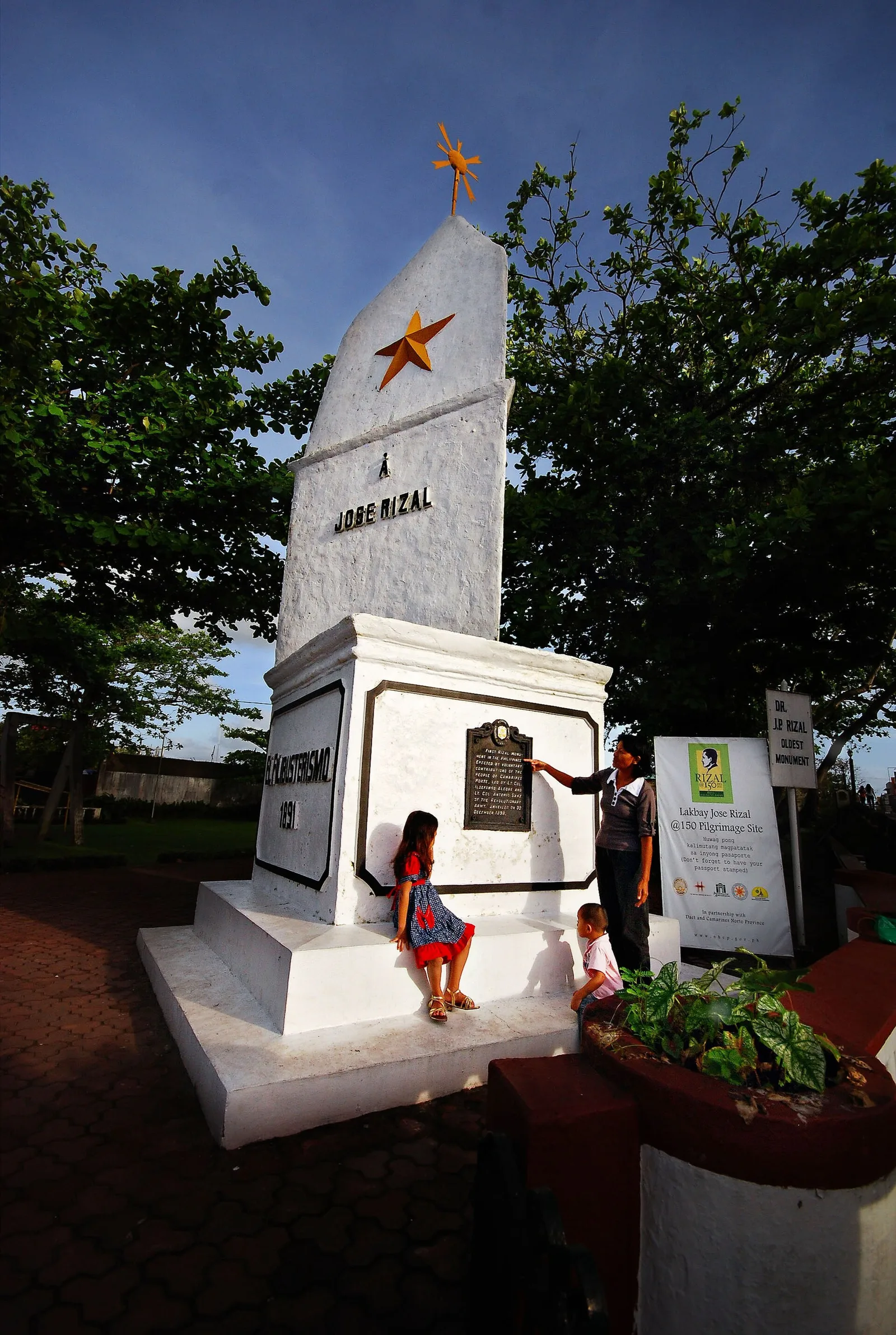
A 3-day plan built from the See, Do and Eat listings in Wikivoyage's Daet guide. The stops are in an order that keeps each day close together. Check the hours …
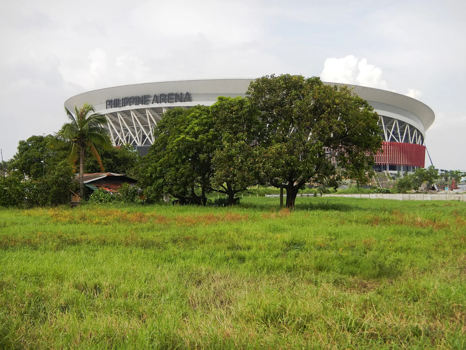
A 3-day plan built from the See, Do and Eat listings in Wikivoyage's Bocaue guide. The stops are in an order that keeps each day close together. Check the hours …
A 2-day plan built from the See, Do and Eat listings in Wikivoyage's Bagac guide. The stops are in an order that keeps each day close together. Check the hours …
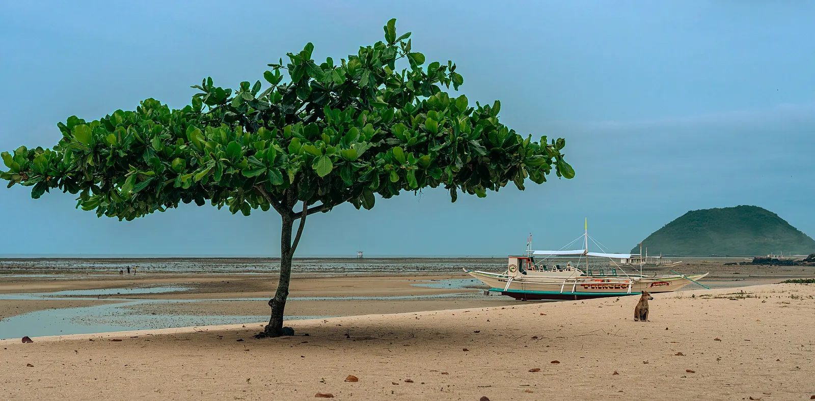
A resort island 9.95 kilometres off the northeast coast of Panay, under the town of Carles. It covers 11.6 square kilometres and holds three barangays, and 4,275 people lived there at the 2020 census. A joint company of Ayala Land …
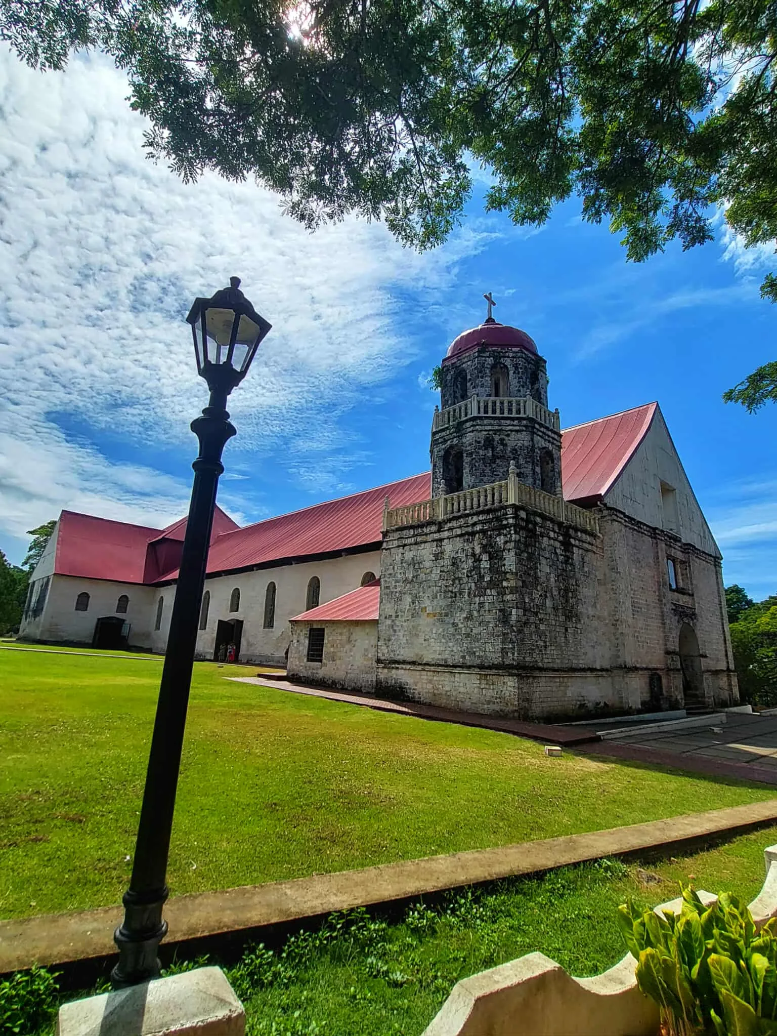
A parish church known for the very large convent beside it. It became an independent parish in 1857 under Saint Isidore the Laborer, and still carries his Spanish name, San Isidro Labrador. The National Museum of the Philippines has declared …
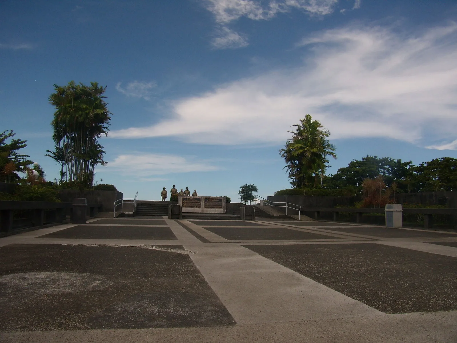
The war memorial at Palo that marks where General Douglas MacArthur came ashore in Leyte Gulf on 20 October 1944, at the start of the campaign to take the Philippines back from Japan. The landing led to the largest naval …
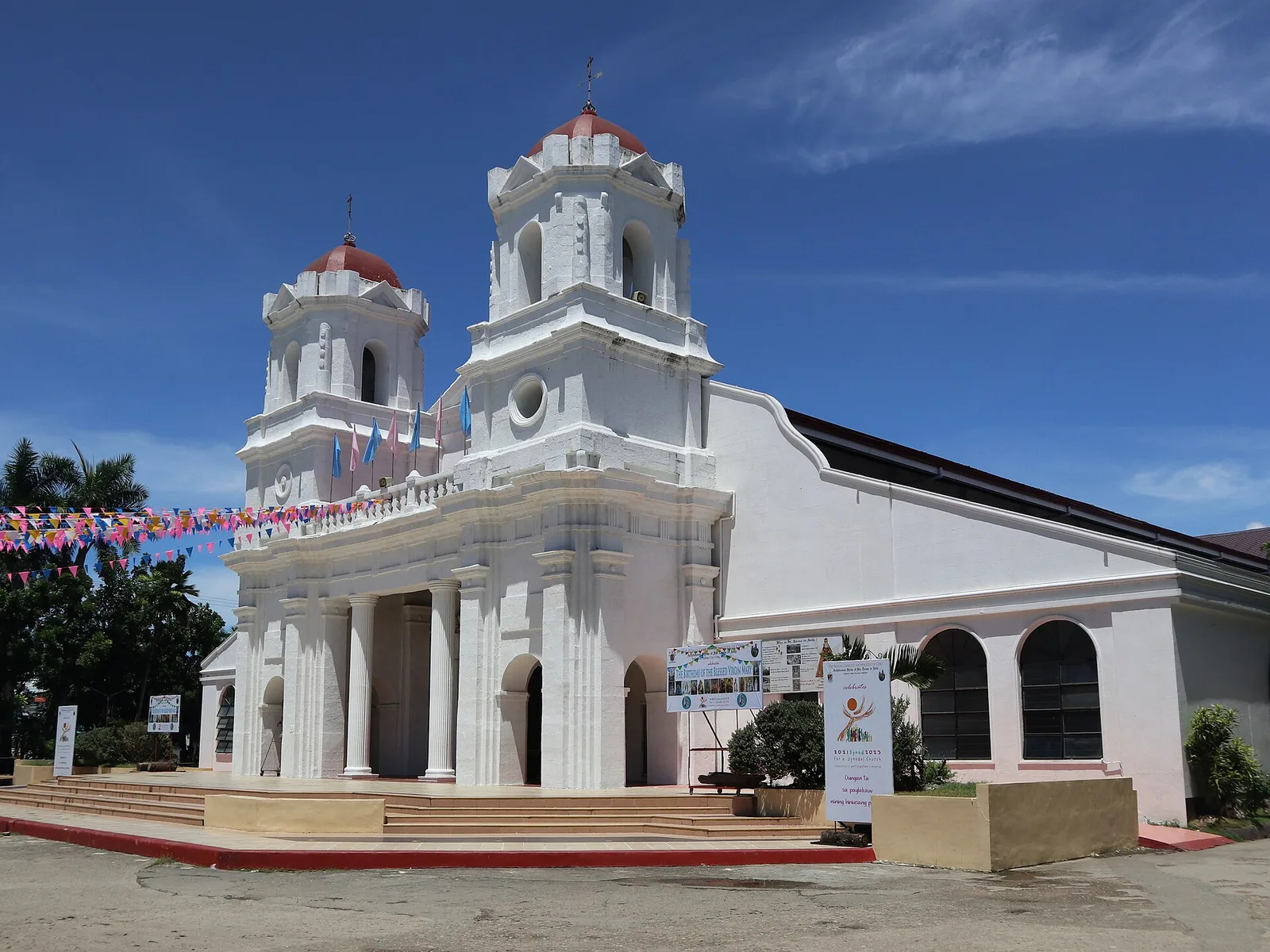
The town church, built from 1836 to 1848 in a classical Graeco-Roman style. Two bell towers stand on its facade, joined by a porch on two columns. The walls are coral stone. Inside are five gilded altars and a large …
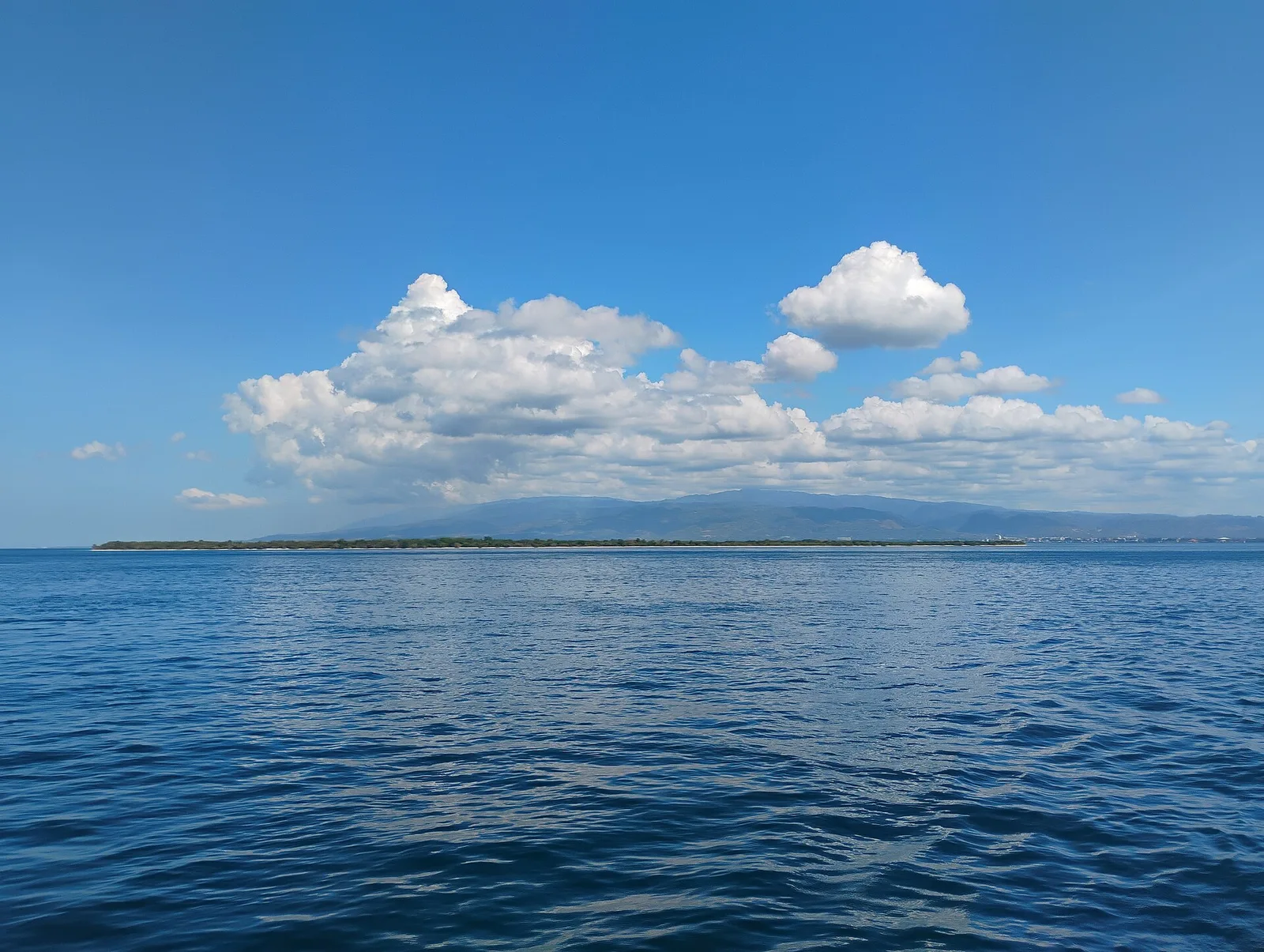
A beach of pink sand on an island off the city. National Geographic listed it in 2018 among the "World's 21 Best Beaches", and arrivals that year reached almost 100,000. A day trip to the island also takes in the …
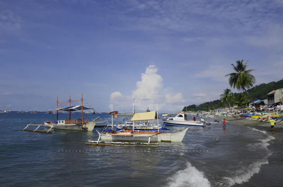
Four coves of coral reef closed to fishing, on the coast of Kiamba. Only one of the coves, Tuka 2, is open to the public.
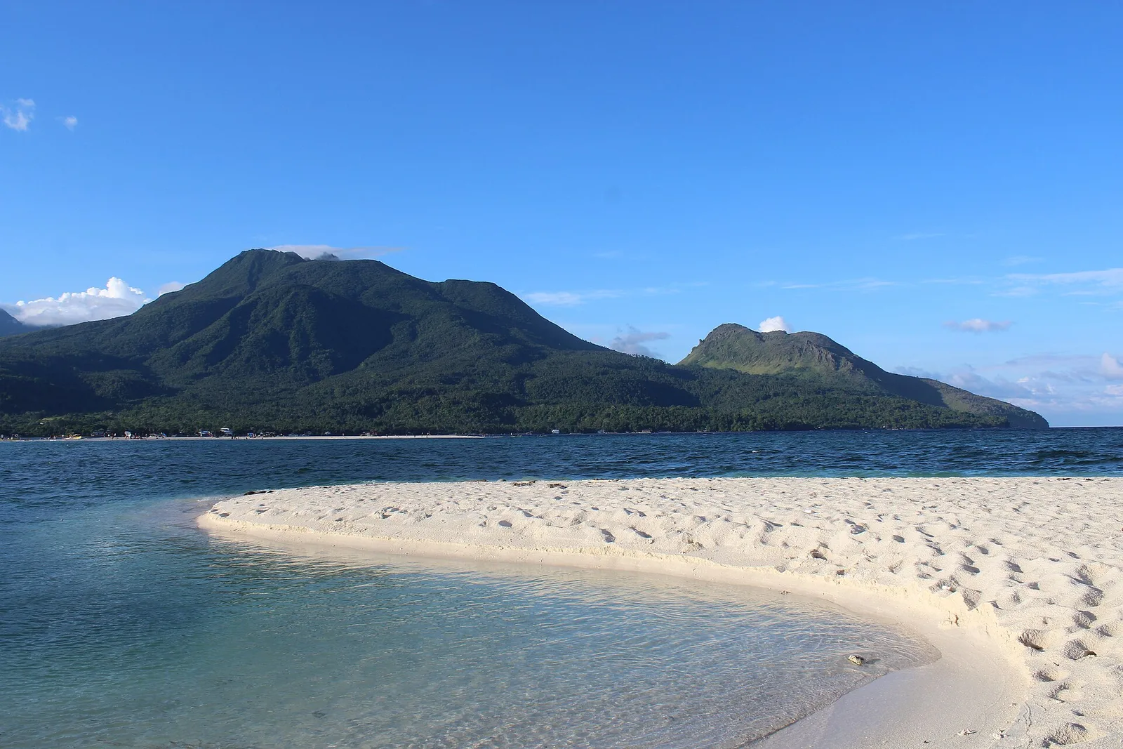
One of the country's active volcanoes, a stratovolcano 1,332 metres high on the Pacific ring of fire, also known as Catarman Volcano. It has six hot springs and three craters. The eruption of 4 December 1951 destroyed nearly 19 square …
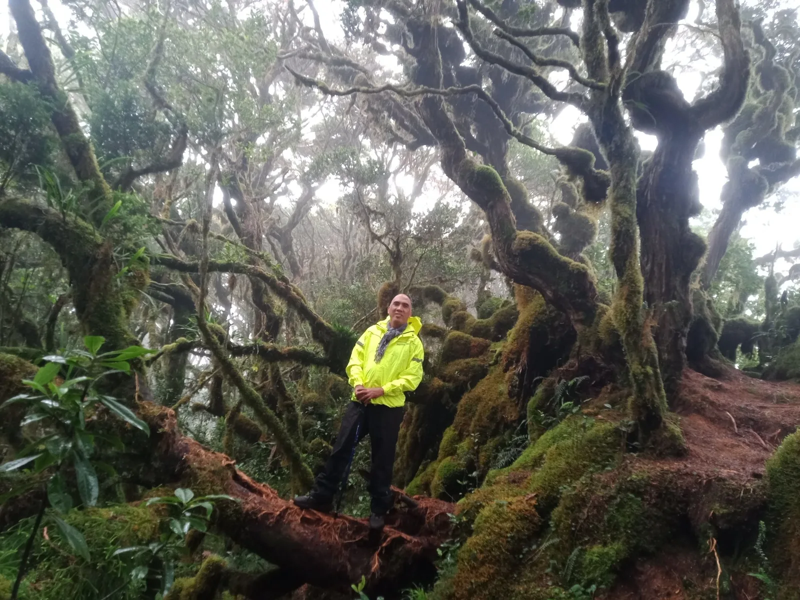
The second highest mountain in the country at 2,938 metres, in the Kitanglad Mountain Range. Indigenous people of Bukidnon hold it sacred, and it stands inside their ancestral domain. You must get permission from the Talaandig tribal leaders of Lantapan …
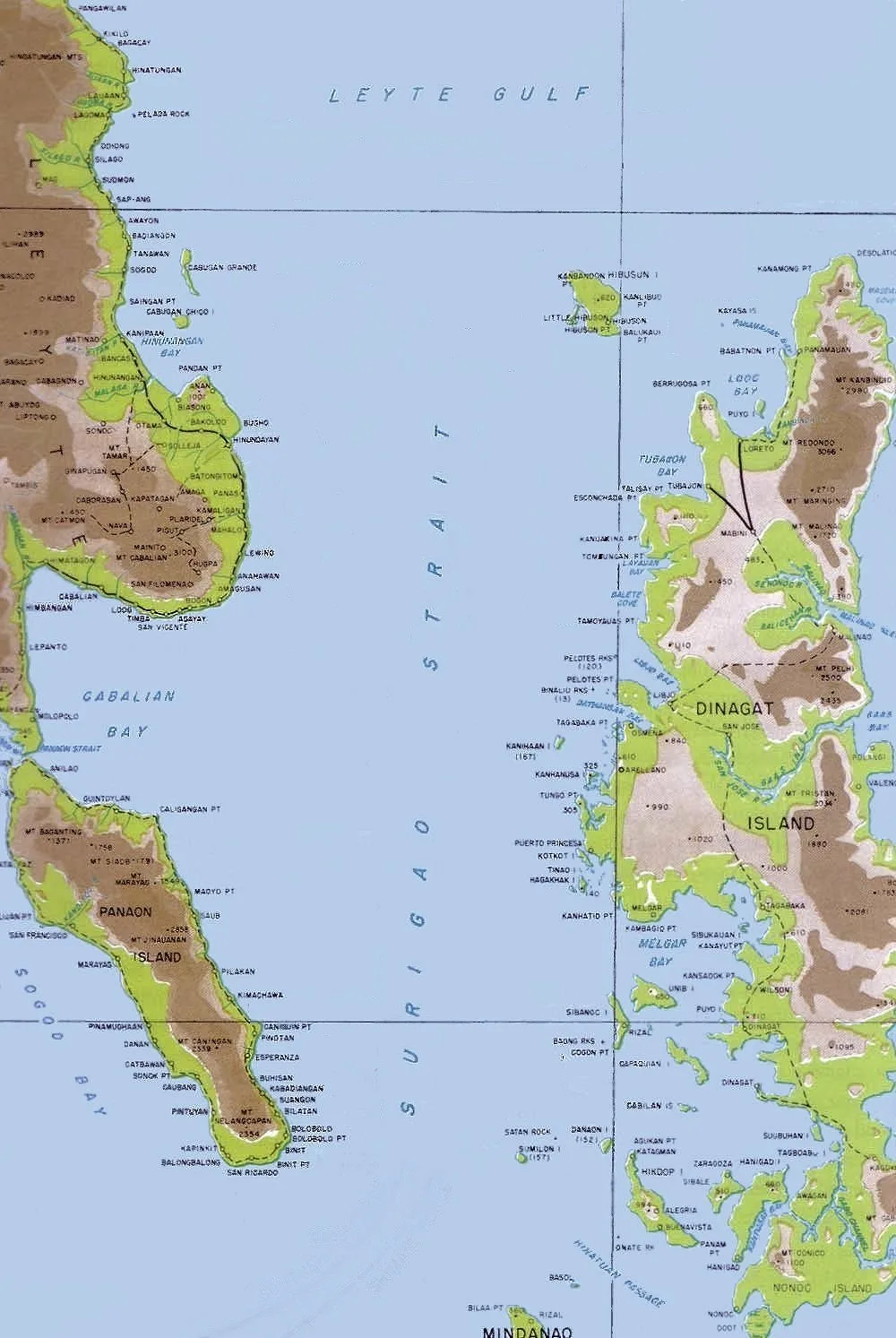
A Waray-speaking island at the north end of Surigao Strait, where the strait meets Leyte Gulf. It lies northwest of Dinagat Island and belongs to the municipality of Loreto. With the smaller Little Gibusong next to it, the island makes …
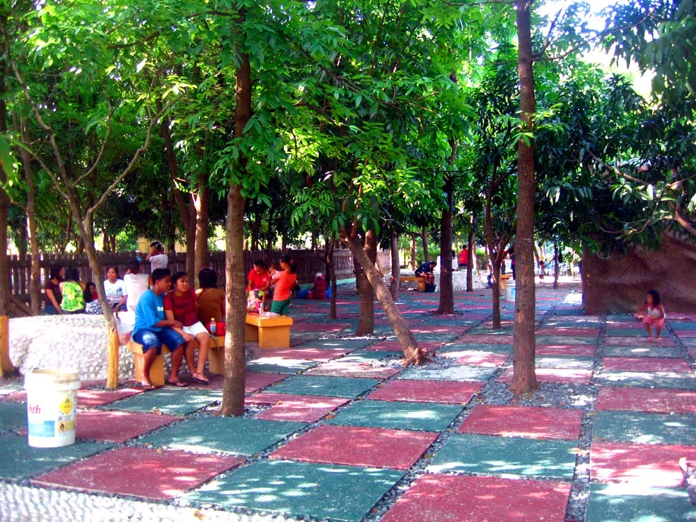
An 8-hectare park in Maybunga with a mini zoo, a boating lagoon, a zip line, an obstacle course and a skatepark. It opened in 1977 and was relaunched in 2013 as the Rainforest Adventure Experience. A renovation unveiled in October …
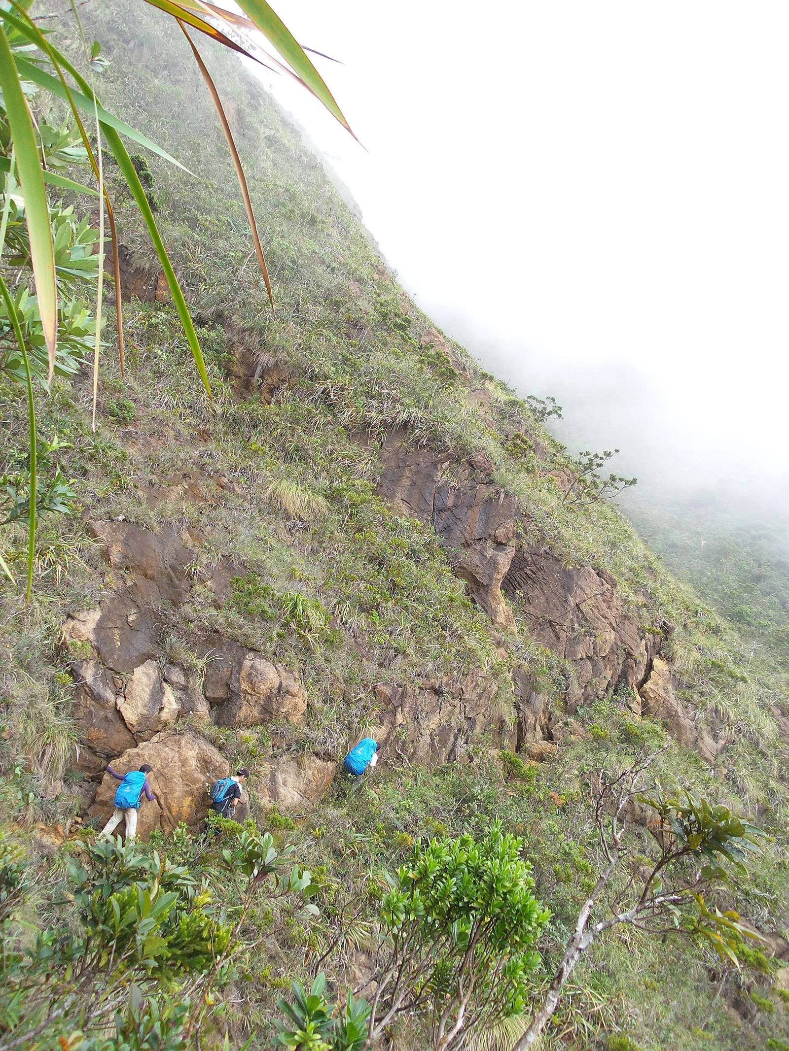
The tallest mountain in Romblon at 2,058 metres, and one of the hardest climbs in the country because of its steep, jagged summit. The name means saw-toothed mountain, after the ridge. It stands on Sibuyan Island, which some scientists call …
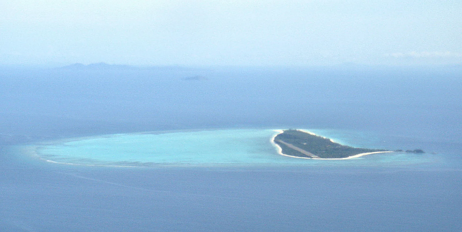
A small sandy island in the Cuyo Islands, 2.5 kilometres long and 500 metres across at its widest, set in the middle of a coral reef of 7 square kilometres. The whole island is private, owned by Seven Seas Resorts …
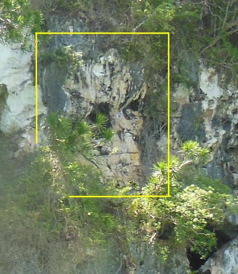
A cave system at Lipuun Point where jar burials and prehistoric human remains have come out of the ground since the 1960s, the Tabon Man among them. The site is known as the country's cradle of civilization. Of 215 known …
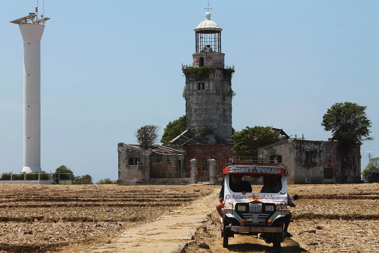
A Spanish-era lighthouse on the north-westernmost island of the Lubang group, now closed to visitors because the structure has fallen apart. Ships entering the Philippines from the South China Sea picked up the Cabra light first, and it pointed them …
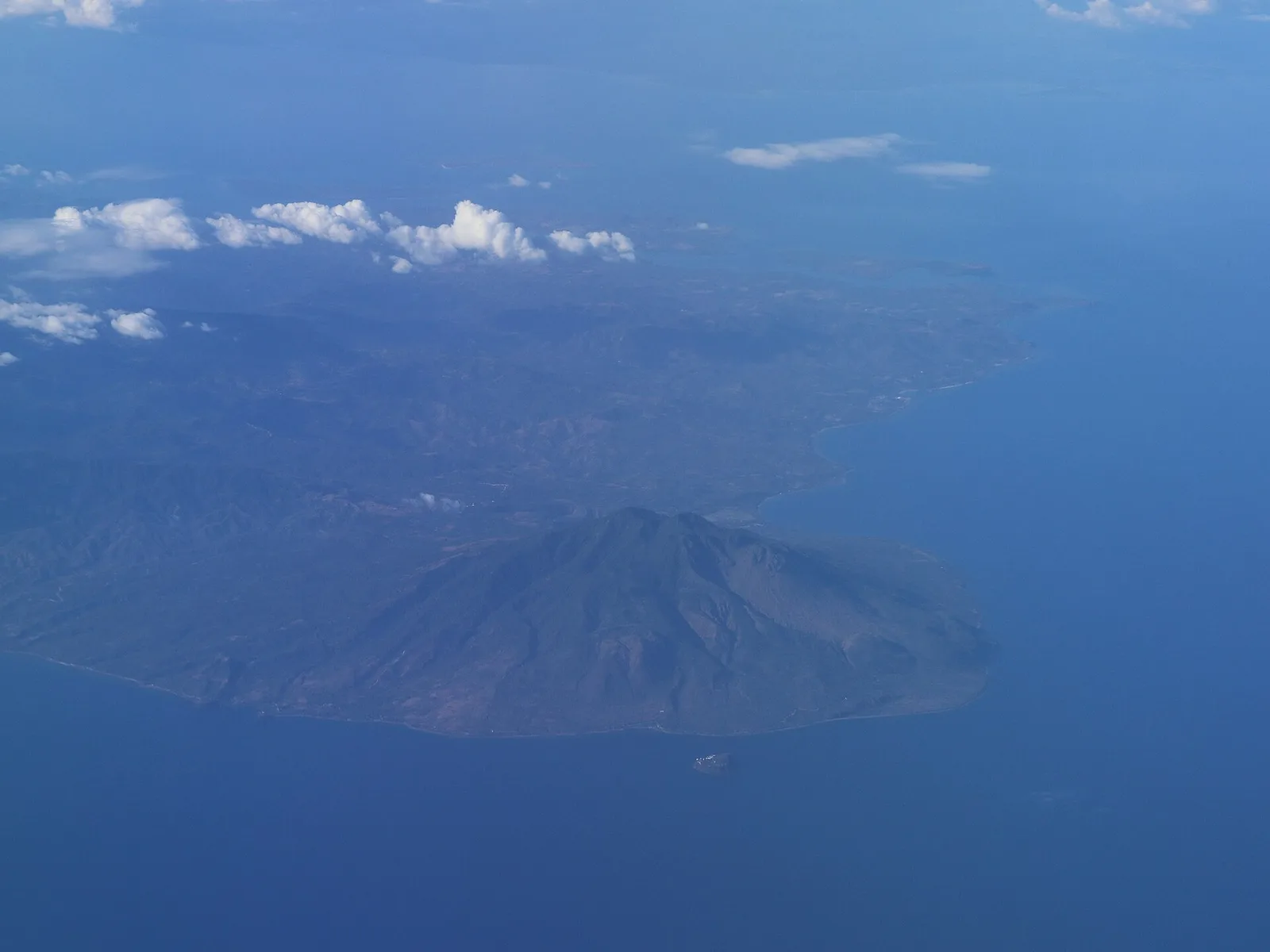
The highest peak on Marinduque at 1,157 metres, and the most popular climb on the island. The volcano has three peaks and counts as potentially active, in part because of the solfataric springs of Malbog. The trek is rated easy …
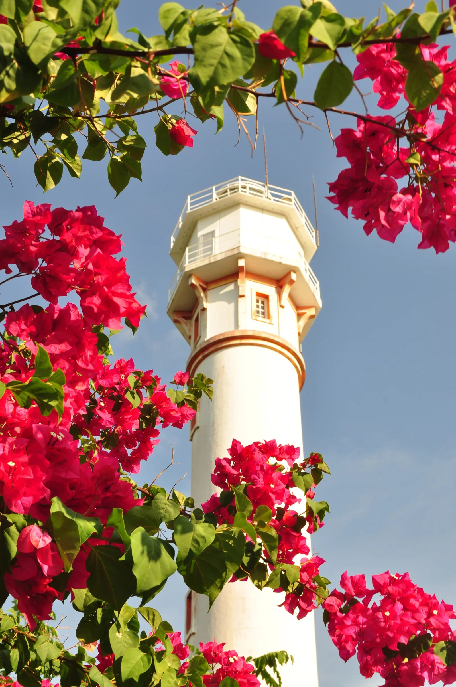
A lighthouse of 1905 on the cape at Bolinao, the second highest in the country after Cape Bojeador. The tower stands 30.78 metres high on ground 107 metres above the sea, and a group of American, British and Filipino engineers …