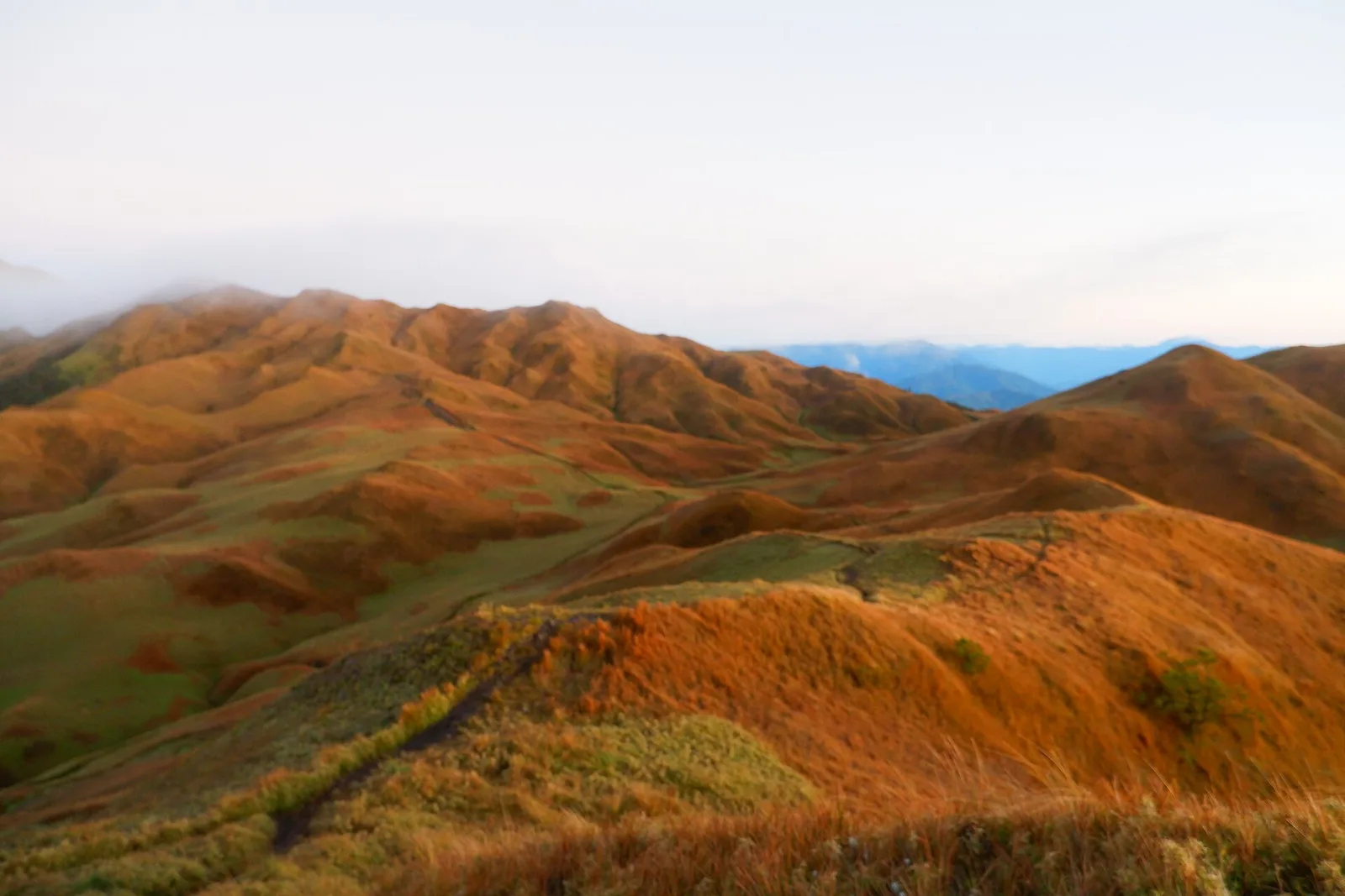
Mount Pulag
The highest peak in Luzon at 2,926 metres, famous for a sea of clouds at dawn above the dwarf bamboo. Permits and a guide are required. It is the third highest mountain in the country and the second most prominent, …
The highest peak in Luzon at 2,926 metres, famous for a sea of clouds at dawn above the dwarf bamboo. Permits and a guide are required. It is the third highest mountain in the country and the second most prominent, …
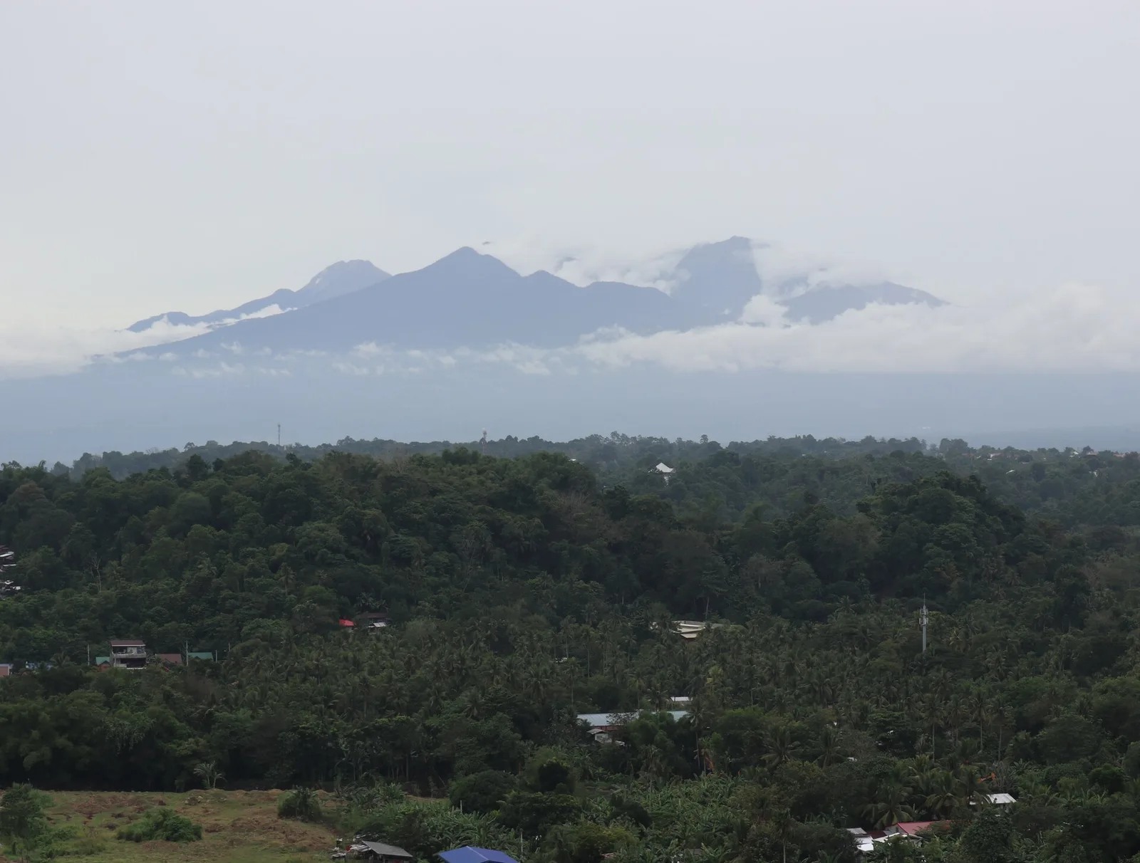
The country's highest peak at 2,954 metres, climbed over three to four days with a permit and a guide. It is a large dormant stratovolcano in the Apo-Talomo Mountain Range, standing where Davao City, Davao del Sur and Cotabato meet. …
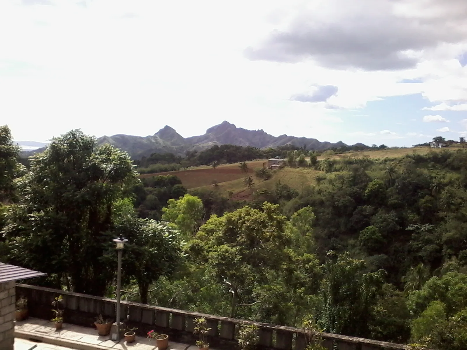
An inactive stratovolcano of jagged peaks, rugged ridges and deep gorges in northwest Batangas, on the border with Cavite. It is a flank cone on the northwestern rim of Taal, and it began to form about 3.4 million years ago. …
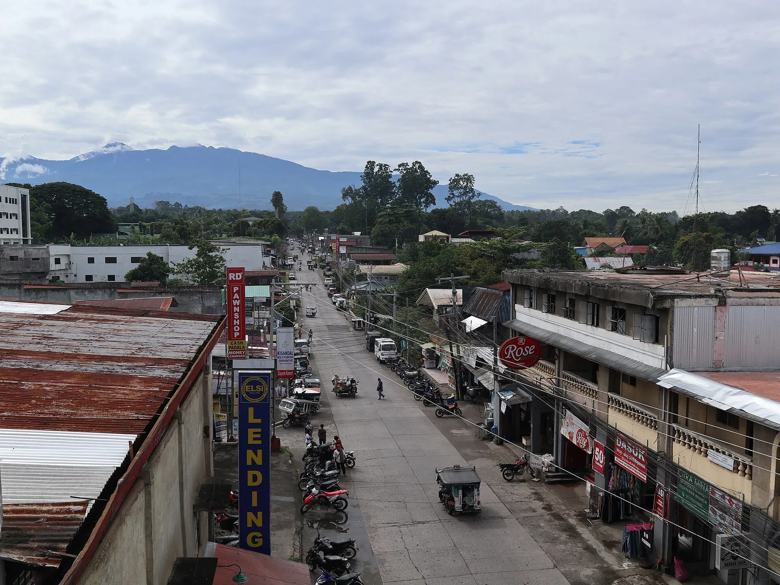
The tallest mountain in the country, 3,143 metres above sea level, and this city is one of the well known places to start the climb. One trail leaves from Lake Agco in Barangay Ilomavis, and two more run to Santa …
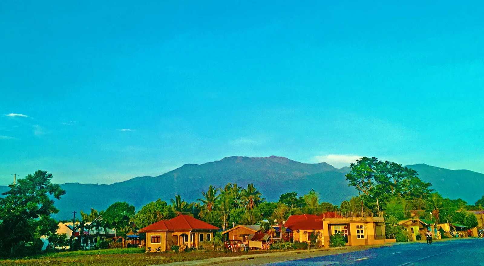
The highest mountain on Mindoro, and one of the hardest climbs in the country because of its steep slopes. A 2022 measurement puts it at 2,616 metres, above the earlier figure of 2,586 metres, and no official survey has settled …
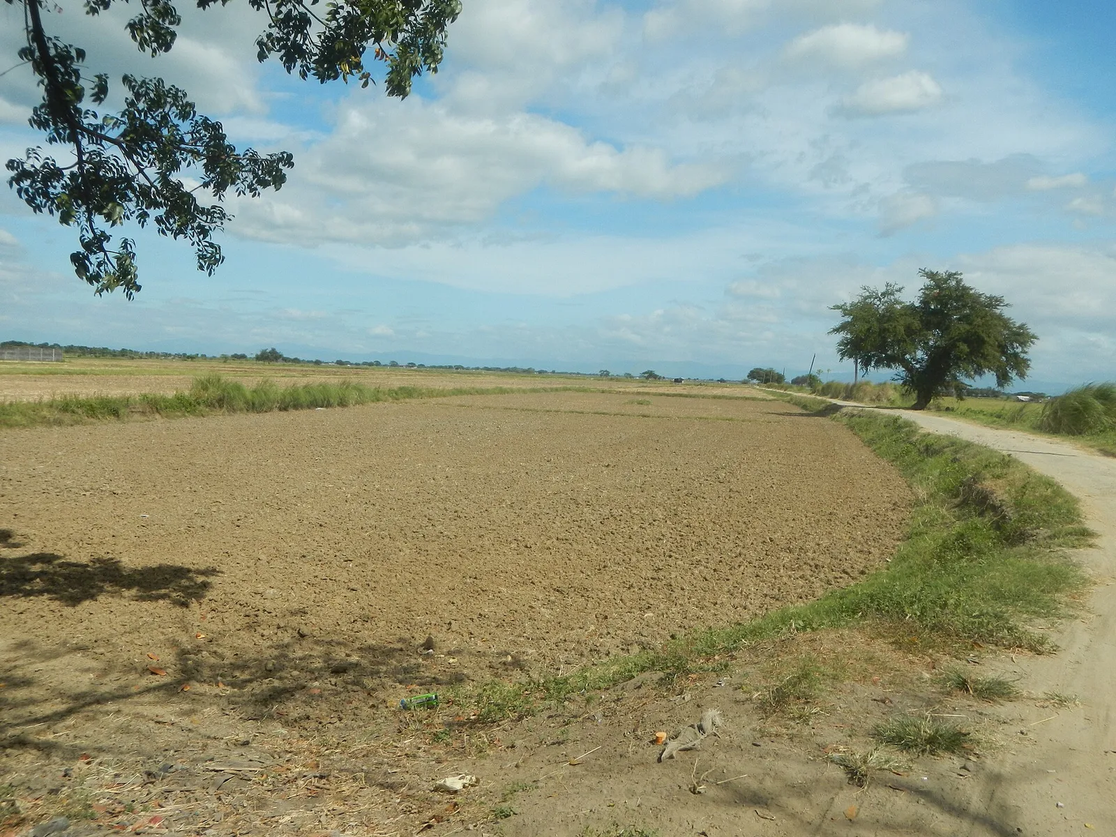
A single mountain that rises 1,026 metres out of the flat farmland of Pampanga, with no range around it. The southern half belongs to the town of Arayat, and the northern half and the summit belong to Magalang. Angeles City …
The second highest peak on Panay at 2,074 metres, known for its sea of clouds and its mossy forest. It stands in Jamindan on the border with Barbaza in Antique, and it is the third highest mountain in the Visayas, …
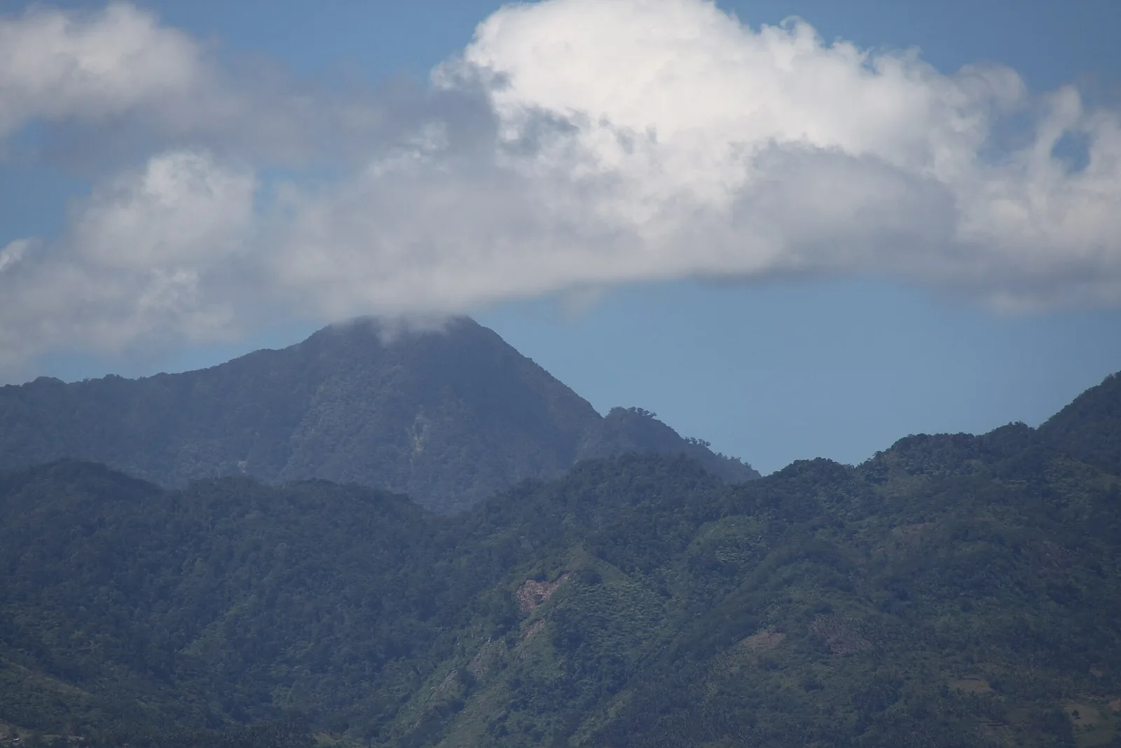
A complex volcano of 1,862 metres, the second highest mountain on Negros Island after Mount Kanlaon. It is the tallest peak of the range called the Cuernos de Negros, the Horns of Negros. The mountain stands 9 kilometres southwest of …
The highest peak in Caraga at 2,012 metres, climbed each year on trips that trekkers and mountaineers organise. There are also organised climbs up Mount Mas-ai, a plateau at Putting Bato with a lake on top.
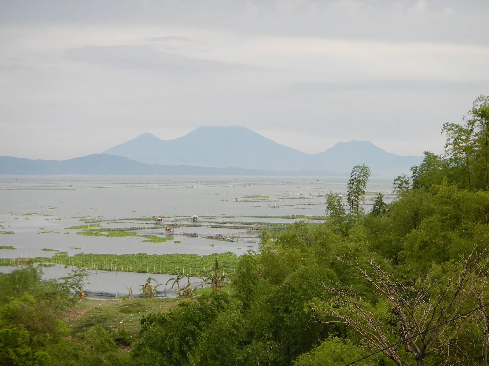
The highest mountain in Laguna, in Quezon and in the whole Calabarzon region: an active volcano with three peaks that dominates the landscape for miles around. The summit reaches 2,170 metres and holds a caldera 210 metres deep, broken open …
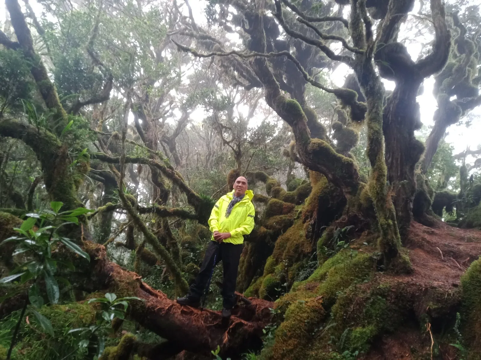
The second highest mountain in the country at 2,938 metres, in the Kitanglad Mountain Range. Indigenous people of Bukidnon hold it sacred, and it stands inside their ancestral domain. You must get permission from the Talaandig tribal leaders of Lantapan …
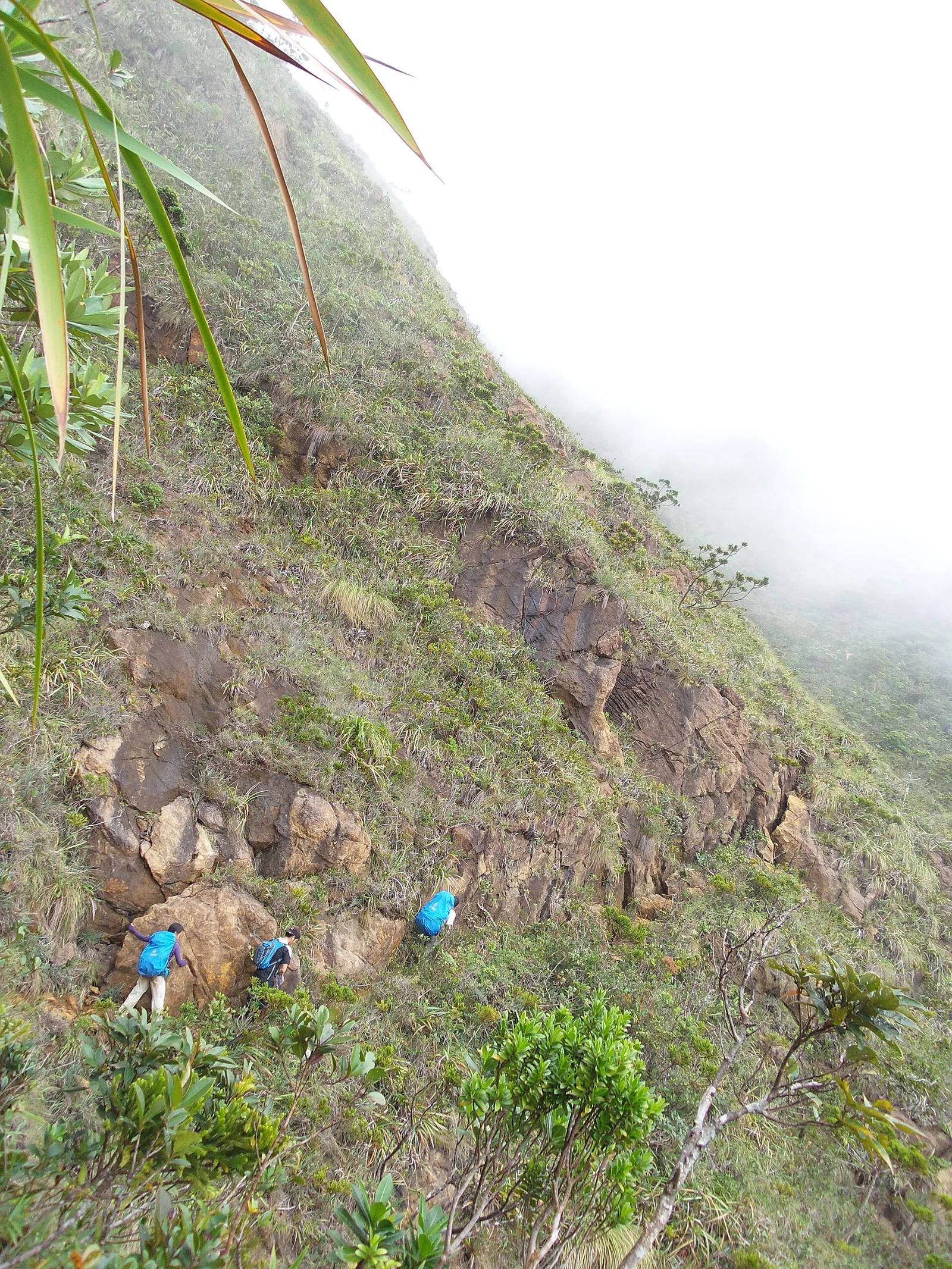
The tallest mountain in Romblon at 2,058 metres, and one of the hardest climbs in the country because of its steep, jagged summit. The name means saw-toothed mountain, after the ridge. It stands on Sibuyan Island, which some scientists call …
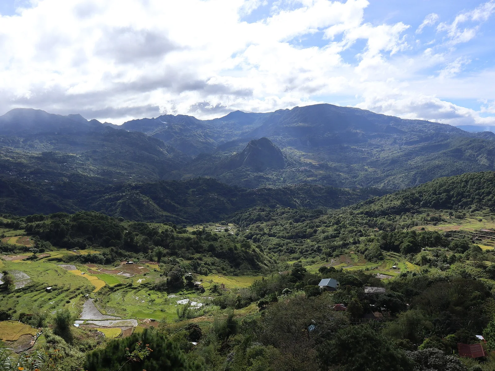
A mountain of 2,310 metres on the border of Benguet and Mountain Province, about 100 kilometres north of Baguio and reached from the Halsema Highway. Pine forest and mossy oak forest cover the slopes. It has been a national park …
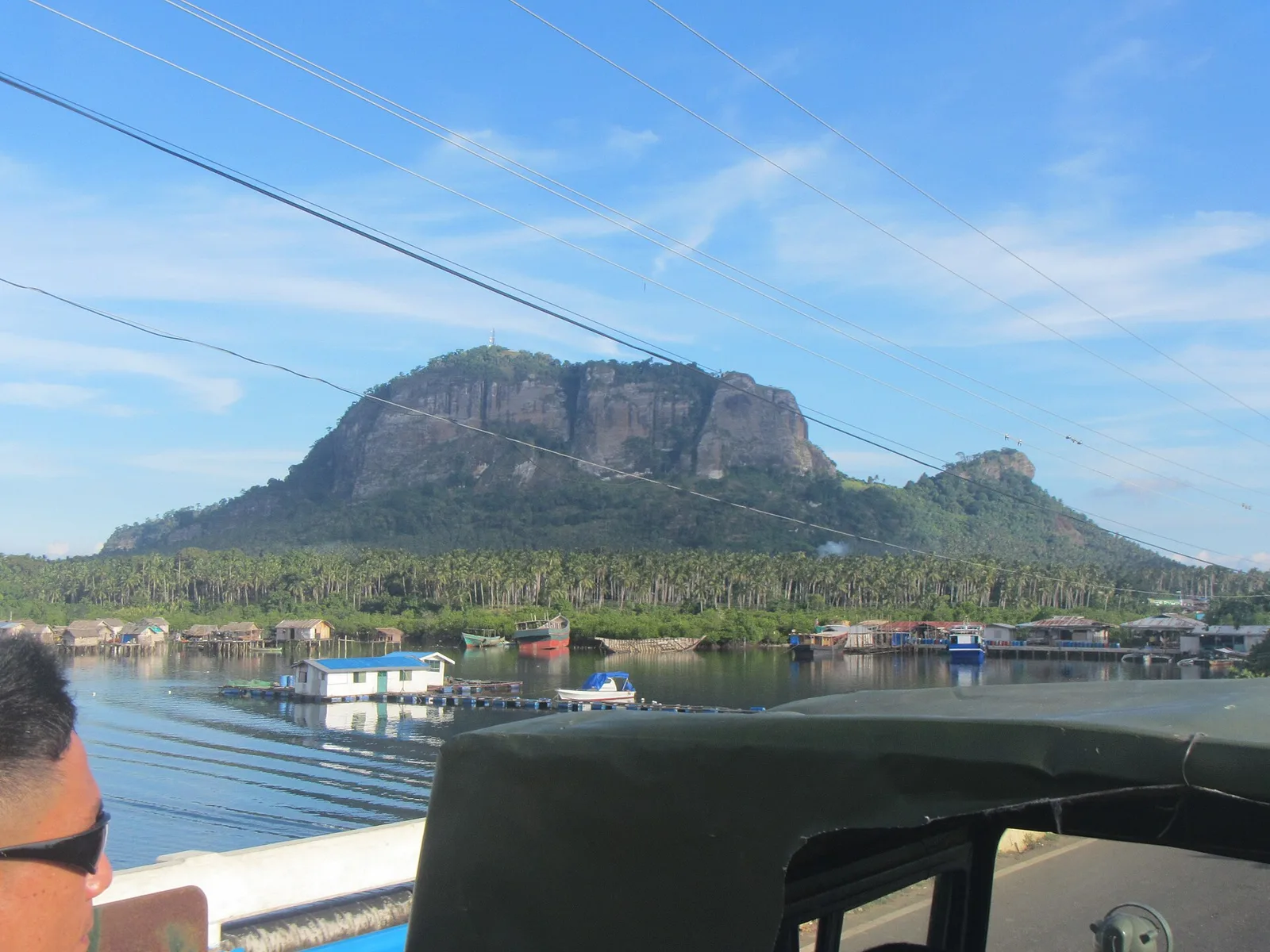
The southernmost peak in the Philippines: six limestone pillars that stand as its six summits. Local people call it Bud Bongao and hold it sacred. Two Islamic preachers who followed Karim ul-Makhdum are believed to lie under the Tampat Rocks, …
A mountain above Barangay Kusiong, green because grass covers most of it. The hike from the foot to the summit takes two hours.
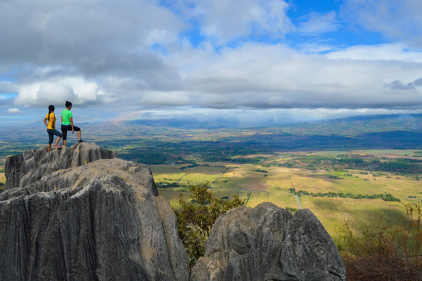
A mountain of rock formations and caves, 18 kilometres south of the city proper in Barangay Managok. It is known as an evacuation area in the Second World War. Trekkers and climbers go up for the view from the top, …
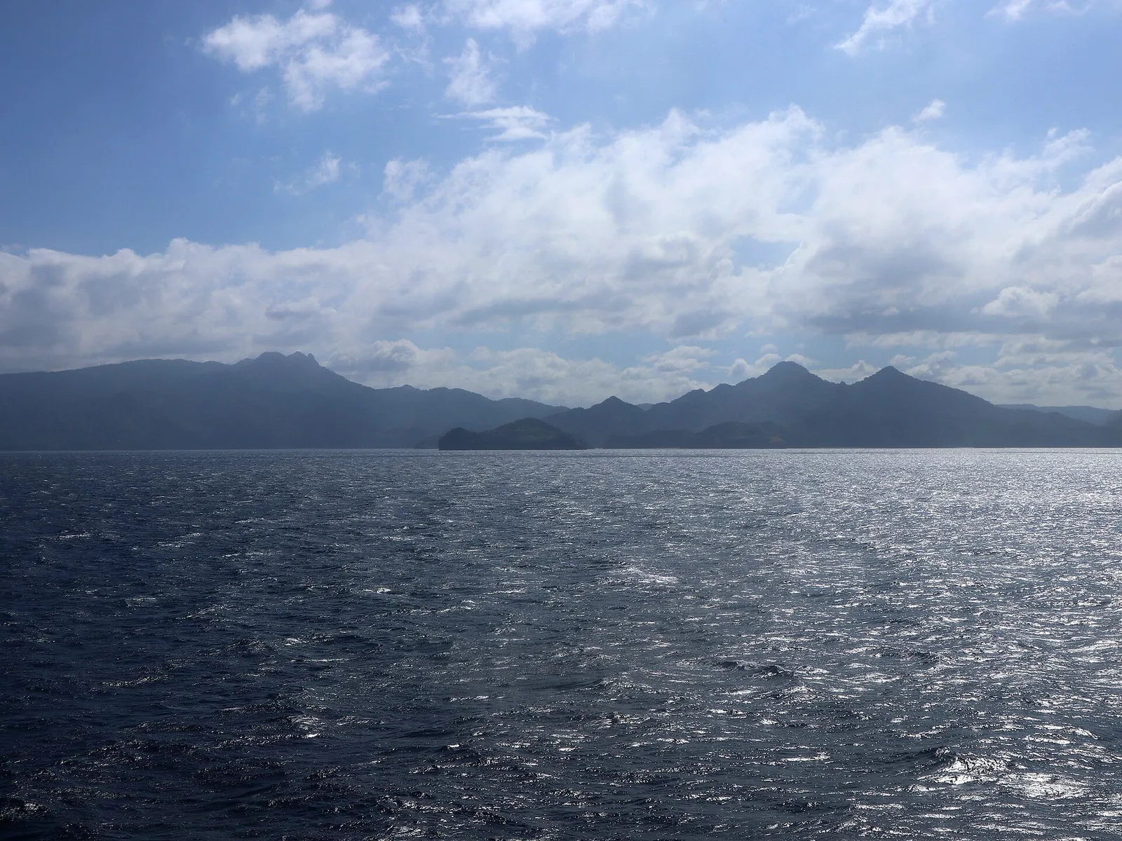
The highest mountain in Cavite at 688 metres, a dormant volcano also called Mount Palay-Palay. It stands on the border with Batangas. The summit is the high point of the Mounts Palay-Palay-Mataas-na-Gulod Protected Landscape, and one of the old volcanic …