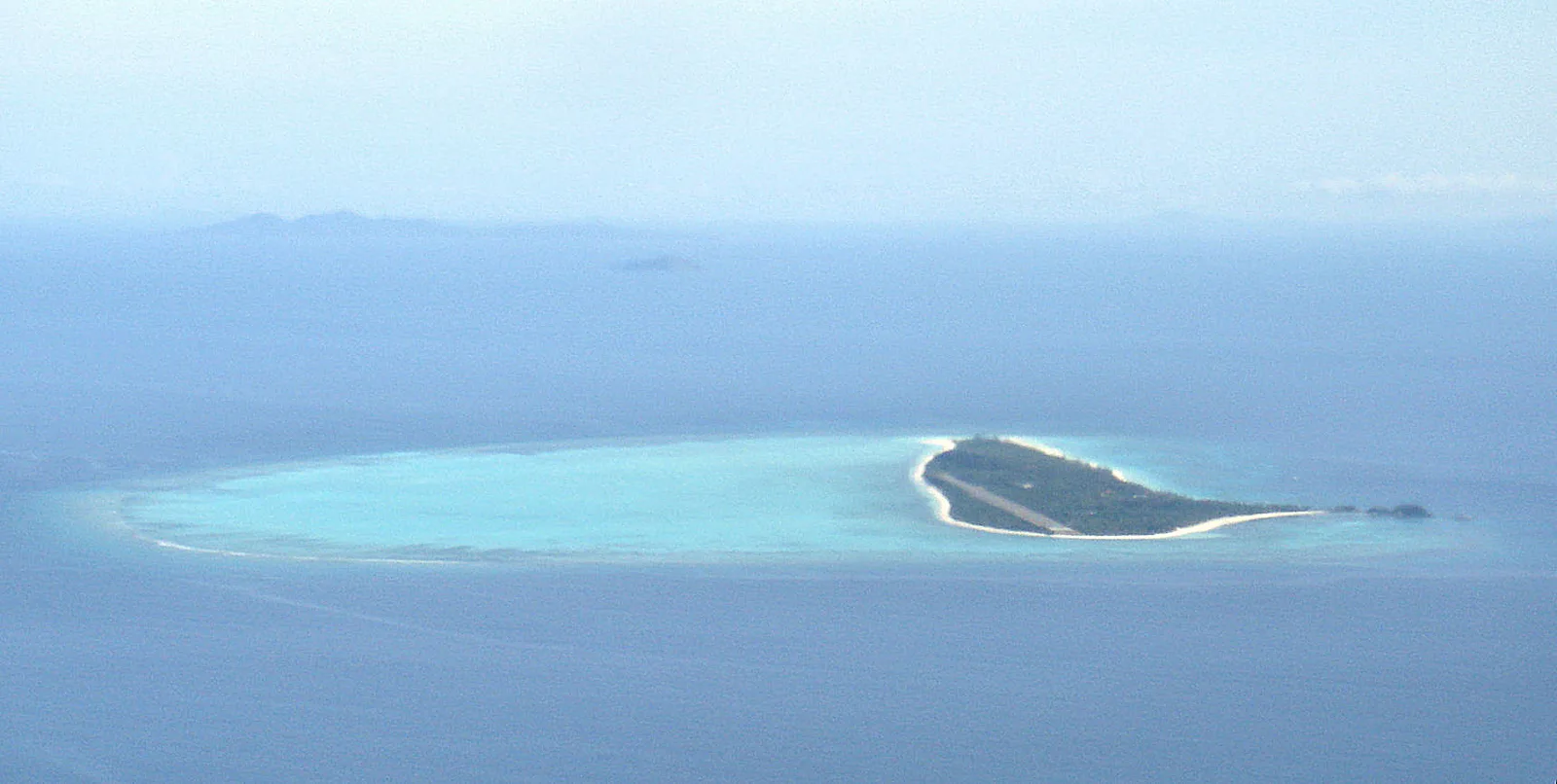
Pamalican Island
A small sandy island in the Cuyo Islands, 2.5 kilometres long and 500 metres across at its widest, set in the middle of a coral reef of 7 square kilometres. The whole island is private, owned by Seven Seas Resorts …
Island group · 8 regions
Showing 361 to 390 of 1,429
A small sandy island in the Cuyo Islands, 2.5 kilometres long and 500 metres across at its widest, set in the middle of a coral reef of 7 square kilometres. The whole island is private, owned by Seven Seas Resorts …
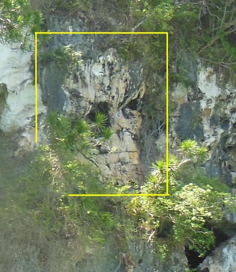
A cave system at Lipuun Point where jar burials and prehistoric human remains have come out of the ground since the 1960s, the Tabon Man among them. The site is known as the country's cradle of civilization. Of 215 known …
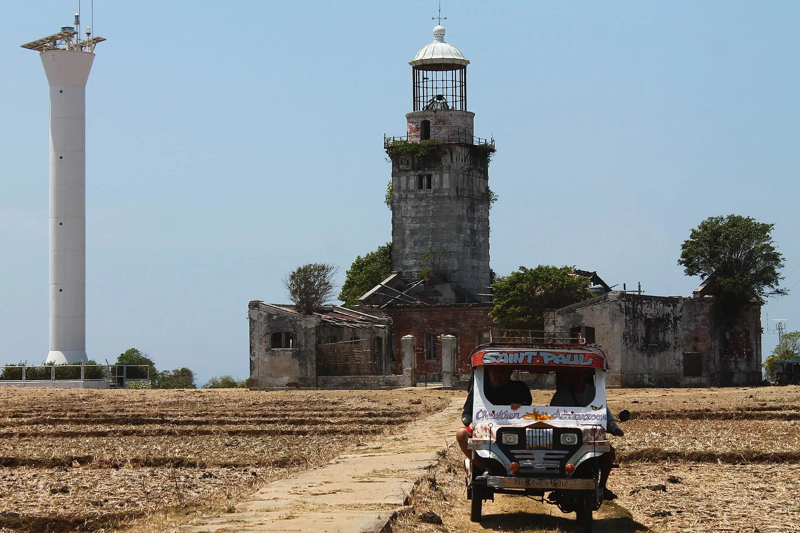
A Spanish-era lighthouse on the north-westernmost island of the Lubang group, now closed to visitors because the structure has fallen apart. Ships entering the Philippines from the South China Sea picked up the Cabra light first, and it pointed them …
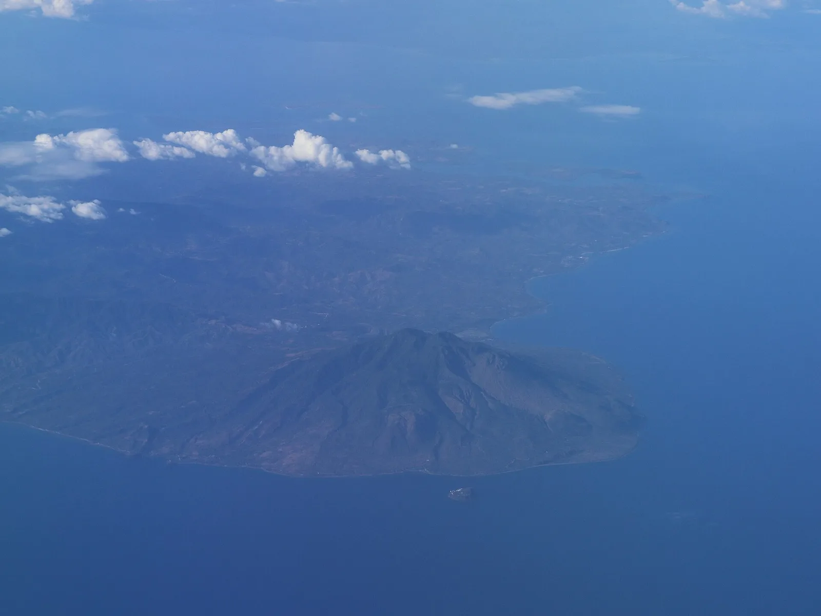
The highest peak on Marinduque at 1,157 metres, and the most popular climb on the island. The volcano has three peaks and counts as potentially active, in part because of the solfataric springs of Malbog. The trek is rated easy …
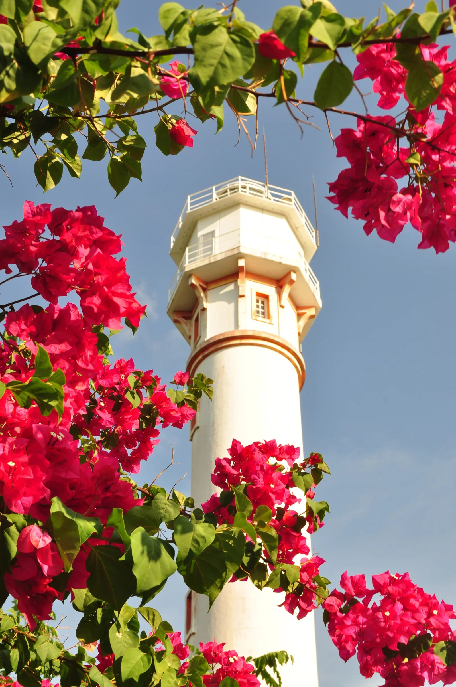
A lighthouse of 1905 on the cape at Bolinao, the second highest in the country after Cape Bojeador. The tower stands 30.78 metres high on ground 107 metres above the sea, and a group of American, British and Filipino engineers …
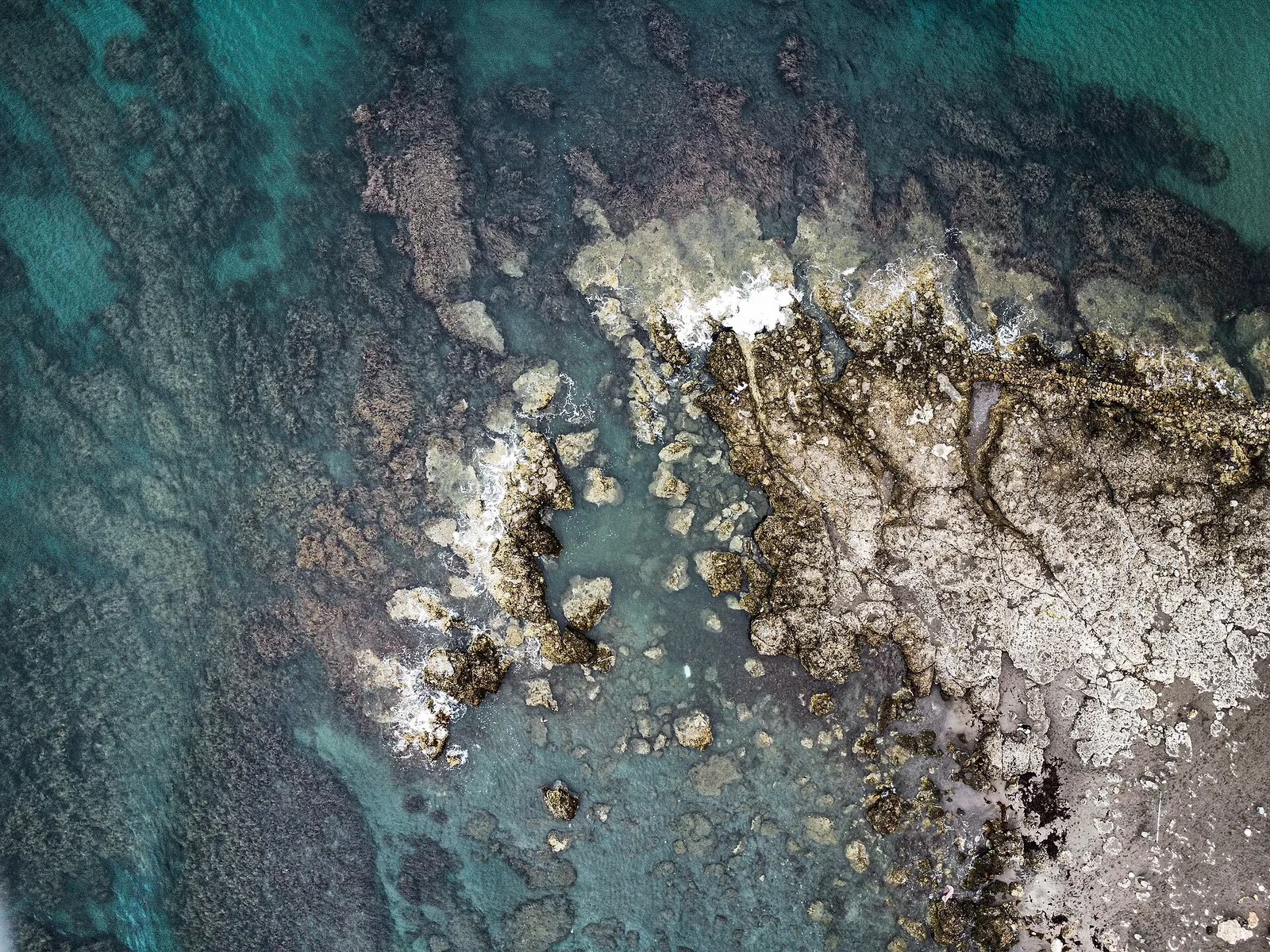
The surf beach behind the province's tourism boom, in Barangay Urbiztondo in San Juan. Surfers were already here when, from the mid-2000s to the early 2010s, new owners began opening art hostels and coffee shops in San Juan and in …
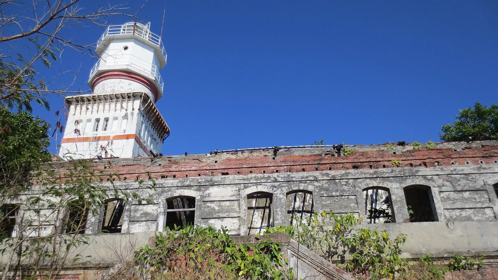
Steep cliffs and large rock formations above beaches of white sand and coral, on a small island about 3.8 kilometres off the Zambales coast. The island is 1.9 kilometres long and 0.4 kilometres wide at its widest point, and it …
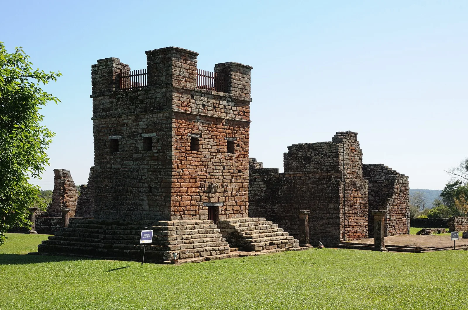
A Chinese temple run by a Chinese Filipino religious group of the same name, which draws on several traditions at once. Its five patron saints stand for Taoism, Confucianism, Islam, Christianity and Buddhism. Chinese immigrants from Taishan led by Ng …
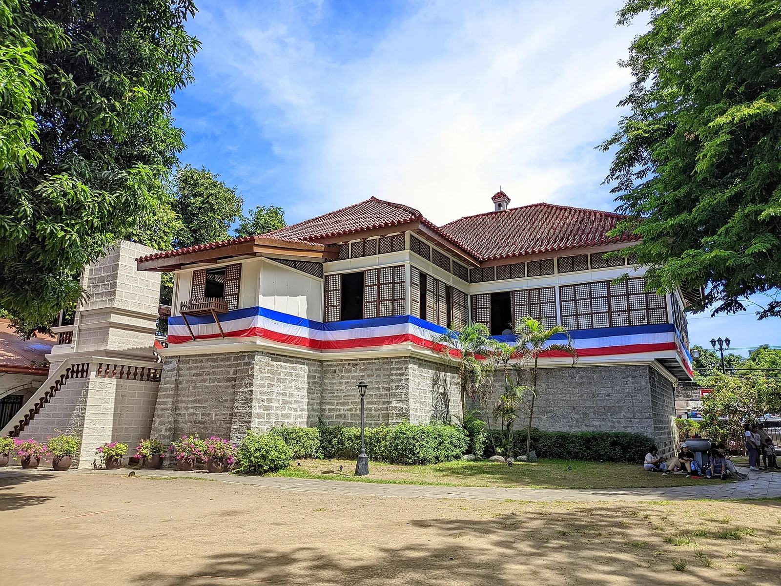
The house where Jose Rizal was born on June 19, 1861, rebuilt as a two-storey bahay na bato. What stands today is a reproduction of the original. Filipino schoolchildren paid for most of the work, Juan F. Nakpil supervised it, …
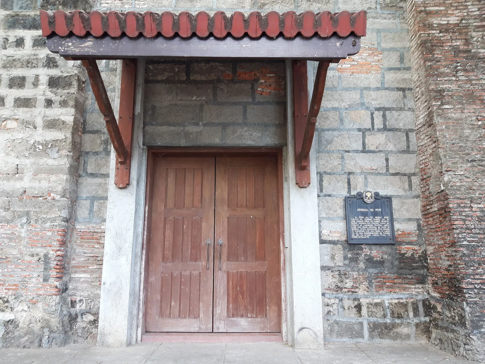
A museum of the part the city took in the revolution against Spain, which it presents with reenactments of scenes from it. Imus calls itself the Flag Capital of the Philippines because the first Philippine flag was flown here, at …
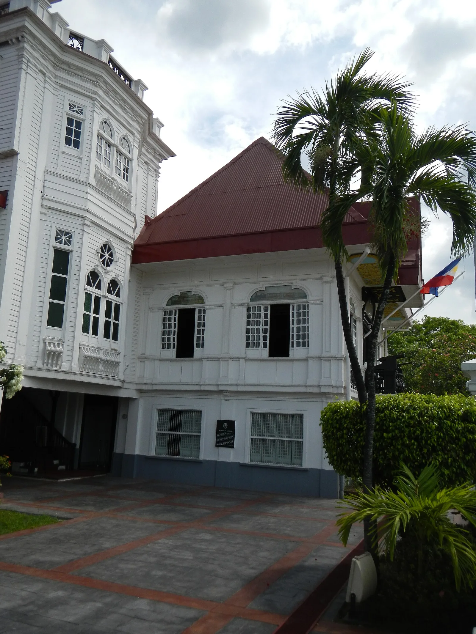
The house where the Philippines declared independence from Spain on June 12, 1898. It stands in Kawit and works today as a museum and a national shrine. Every June 12, on the holiday called Araw ng Kalayaan, top government officials …
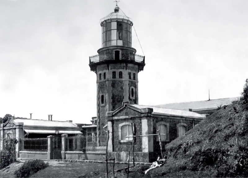
A hilltop lighthouse on Palaui Island, at the northern end of Luzon. It stands 92 metres above the sea and the view runs all the way around: Babuyan Island, the Dos Hermanas (Two Sisters) islands and Engaño cove. The Philippine …
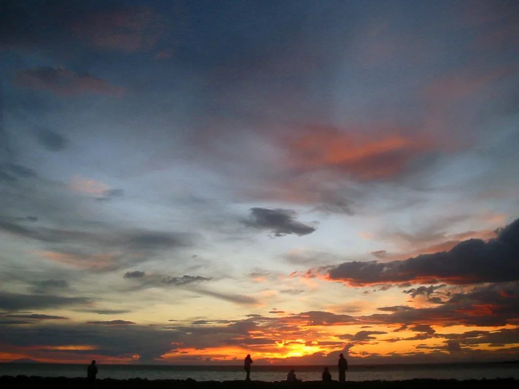
An island about eight kilometres long, one of the two main islands of the Calaguas group. Its draw is Mahabang Buhangin, a long white sand beach, and the name means "long beach". Backpackers and campers from Manila have made the …
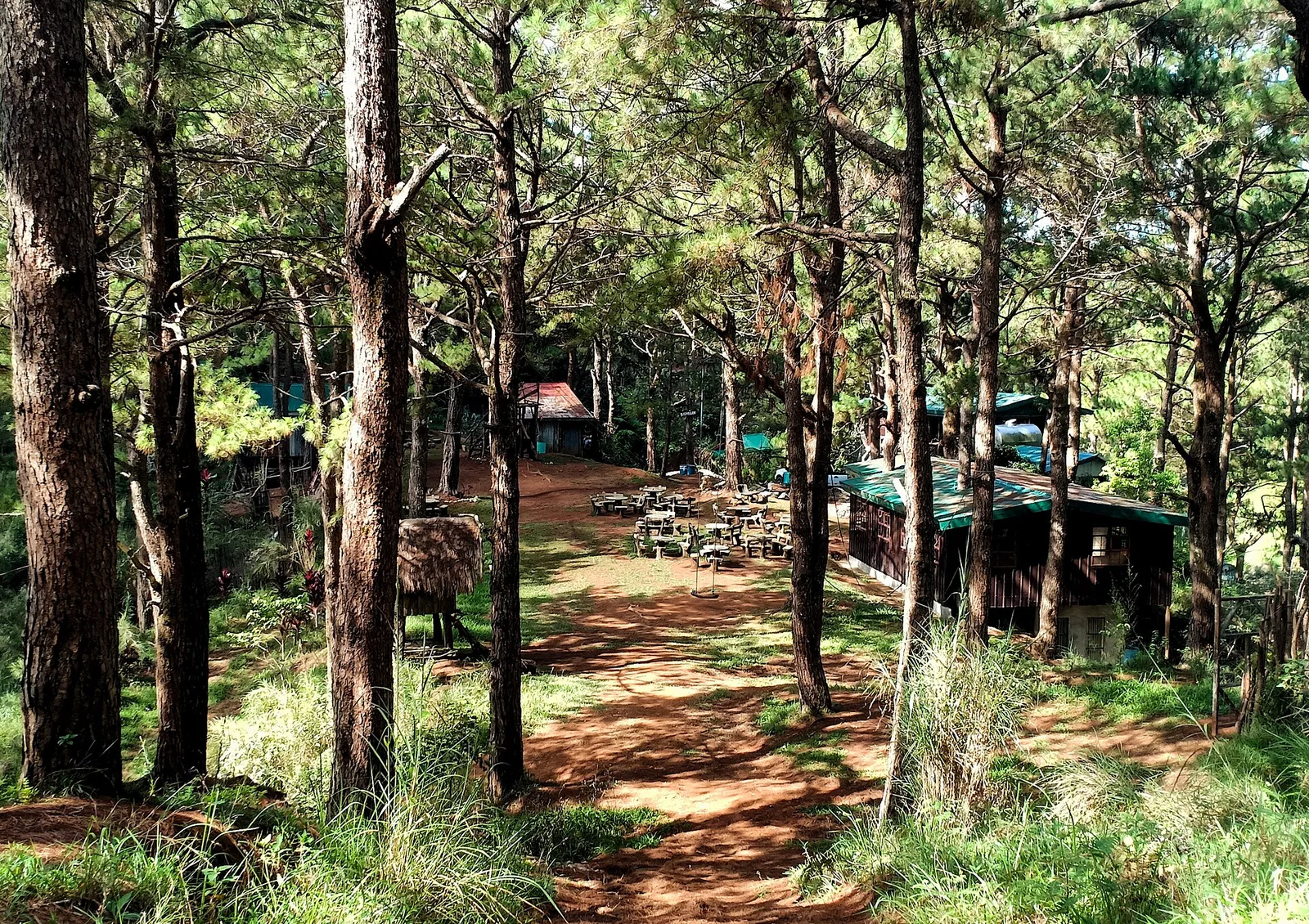
Limestone outcrops over the strawberry fields. The gate charges 60 pesos and opens at seven.
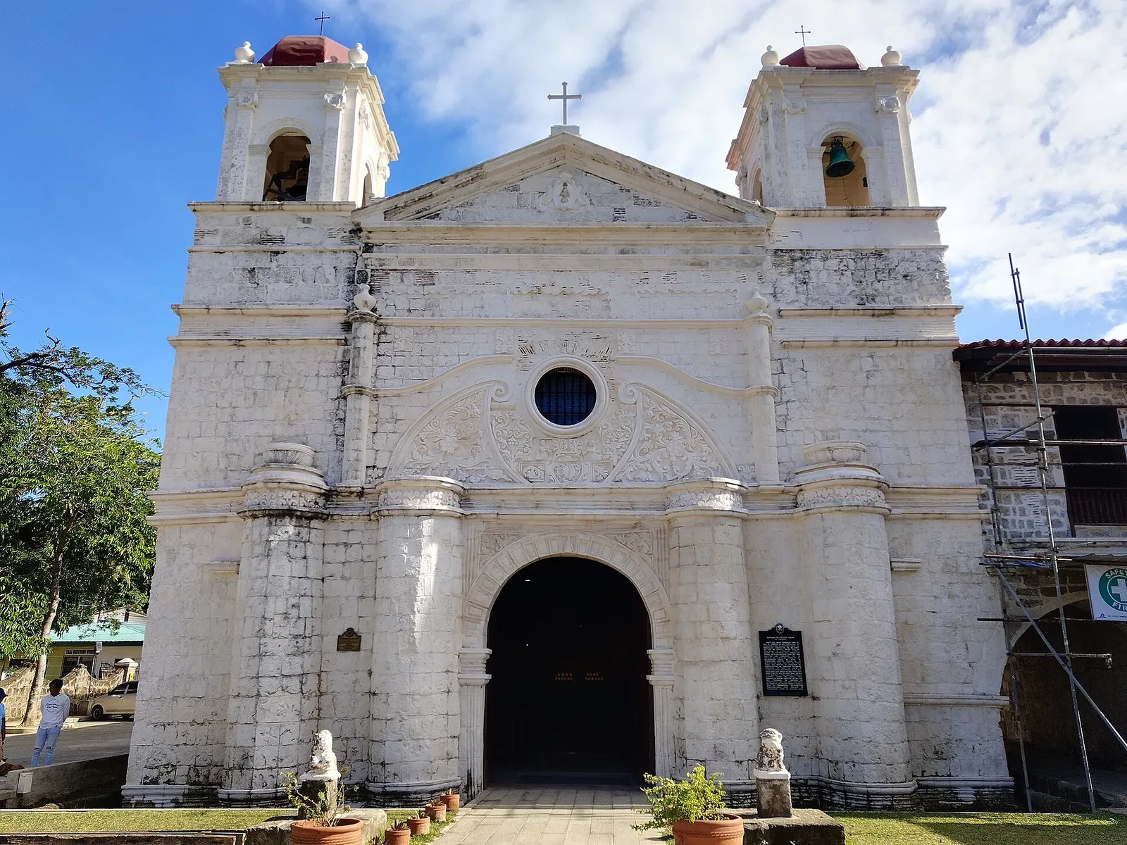
A small shrine down by the river, reached through the Santa Lucia wells. The chapel is hewn from coral and was built in 1639, in place of a temporary structure of 1611. It holds the image of Our Lady of …
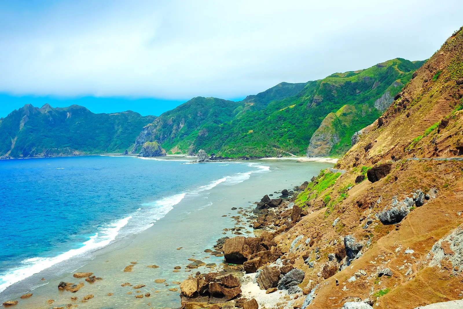
The southernmost island municipality of Batanes, known for the stone-house villages of Savidug and Chavayan and for the Morong arch on its shore. Steep mountains and deep canyons drop to short white sand beaches, and the island also has a …
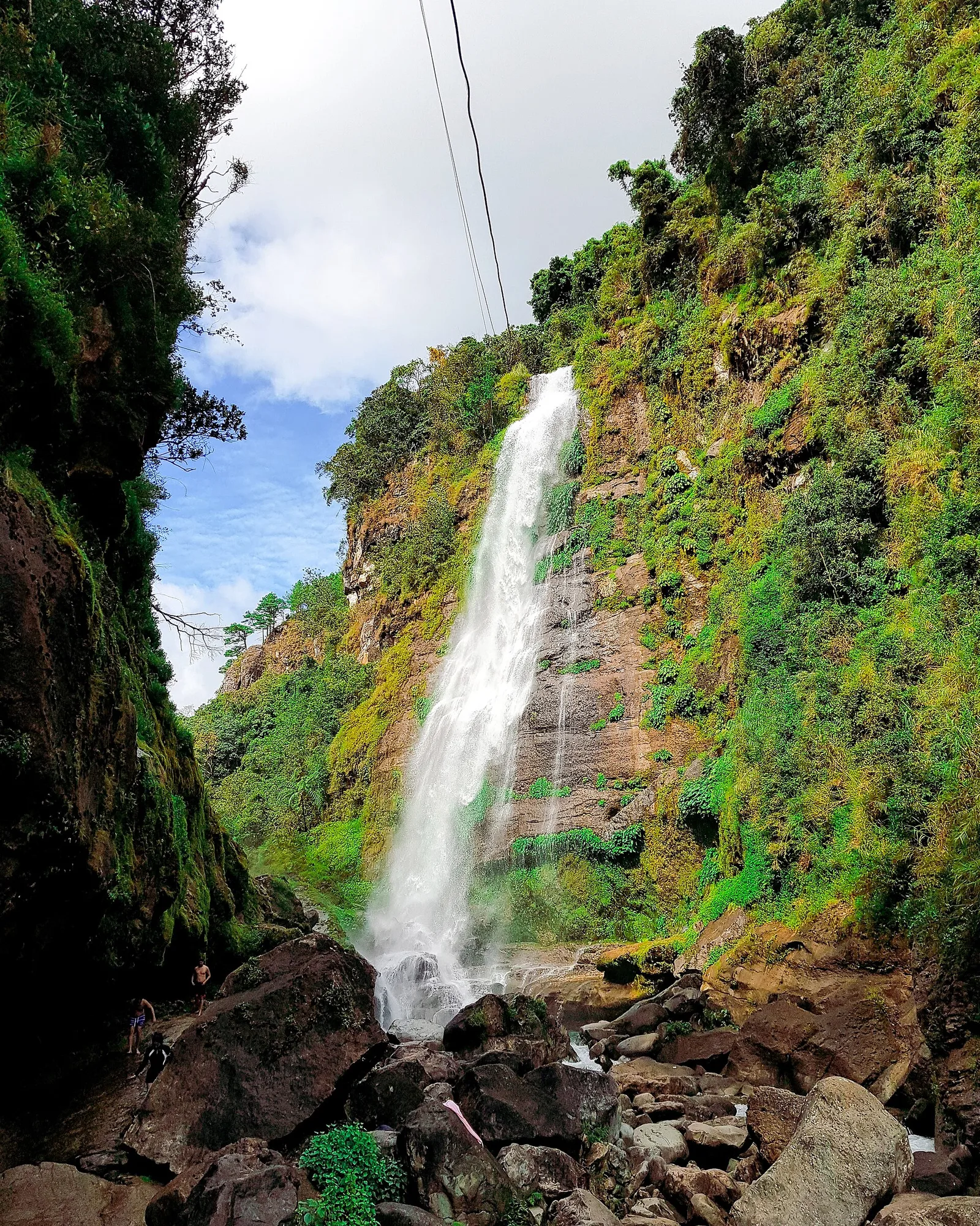
A tall waterfall reached by a steep walk down through rice terraces from Banga-an.
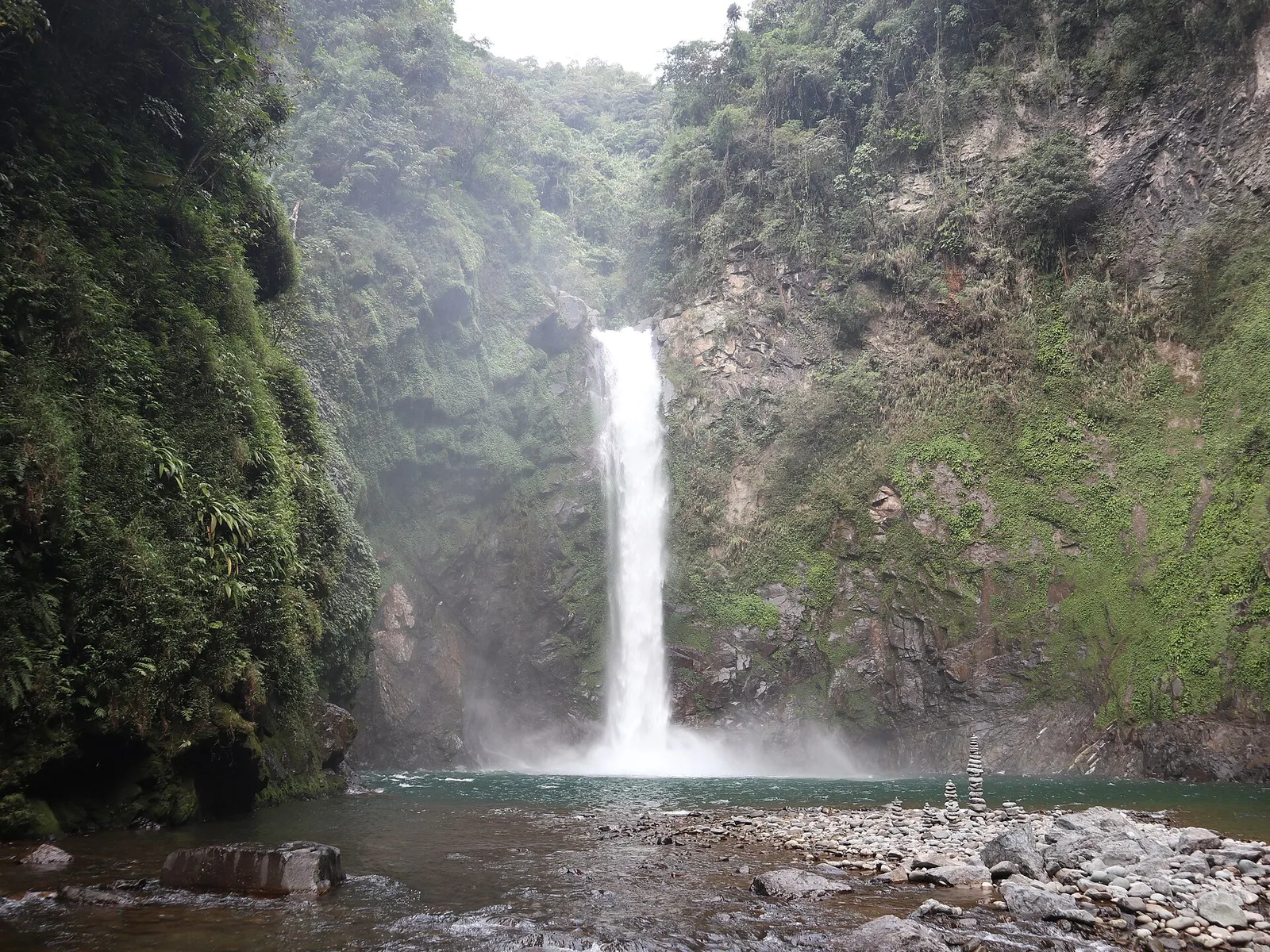
Tuao's main Roman Catholic church, rebuilt following the 1949 earthquake. Beside the main building is a squat two-story building that remains of the Spanish-era belltower.
A recreational area and swimming spot around a mini-dam at a point where the Pinacanauan de Tumauini river leavers the Sierra Madre.
A cavern on the foothills of the Sierra Madre. Only its seven nearest chambers are open to the public.
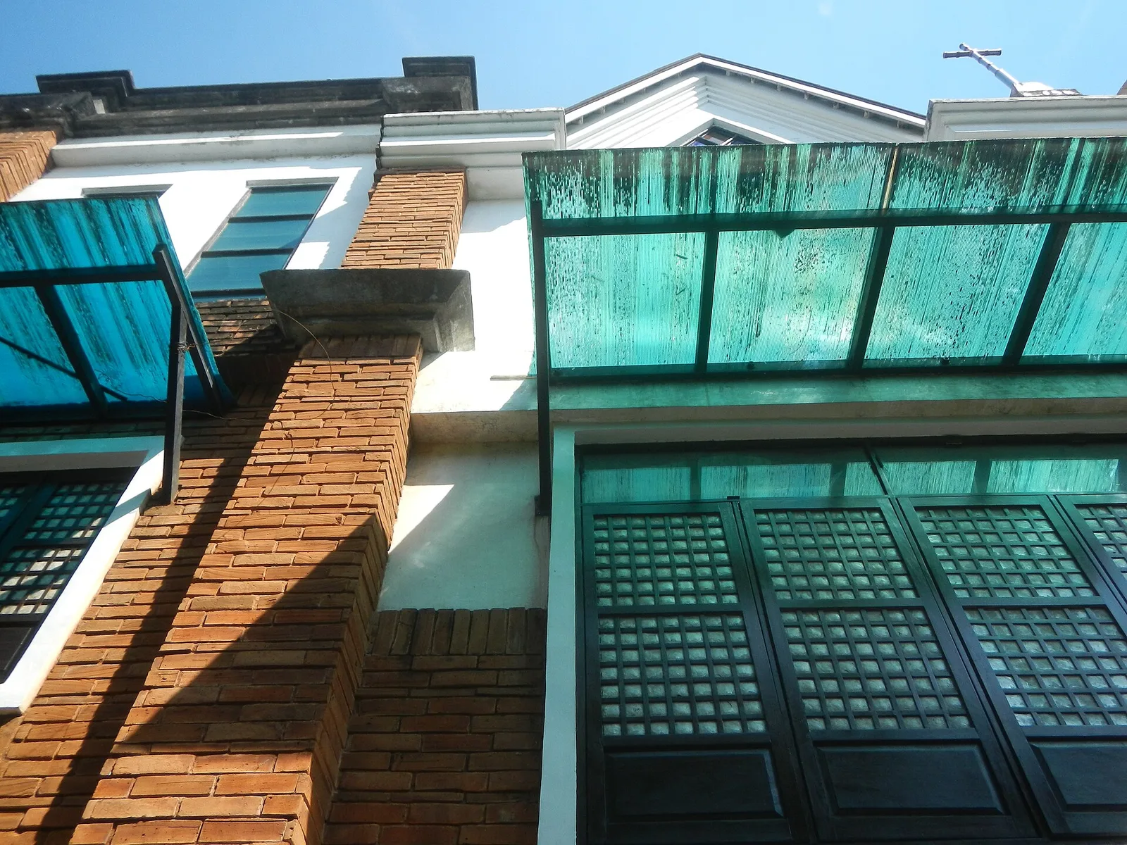
A sight at #62 Karuhatan Road, Valenzuela City. Hours: 5AM–10PM.
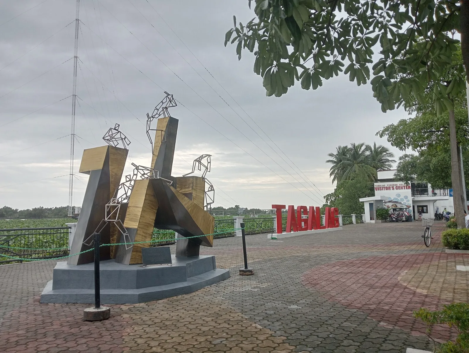
A sight at F. A. Sebastian Street, Polo, Valenzuela City. Hours: Open 24 hours.
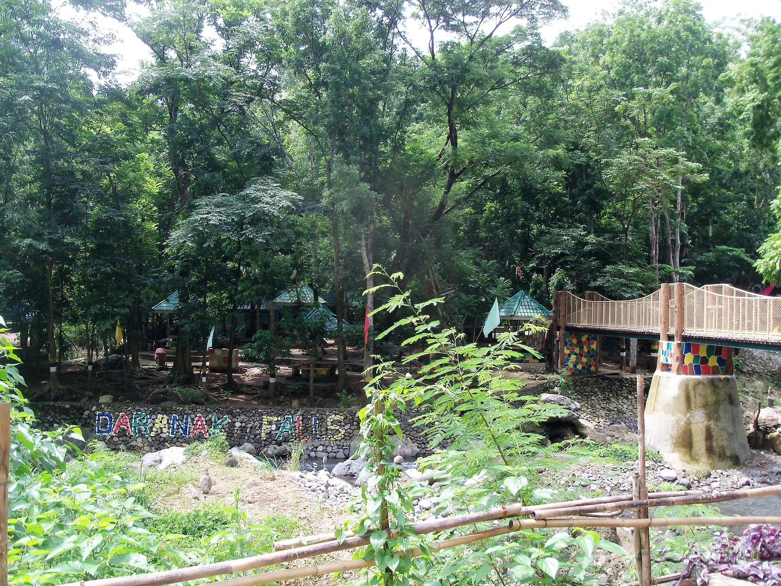
Derived from the word "dadanak", which means "to flow", describing the falls.
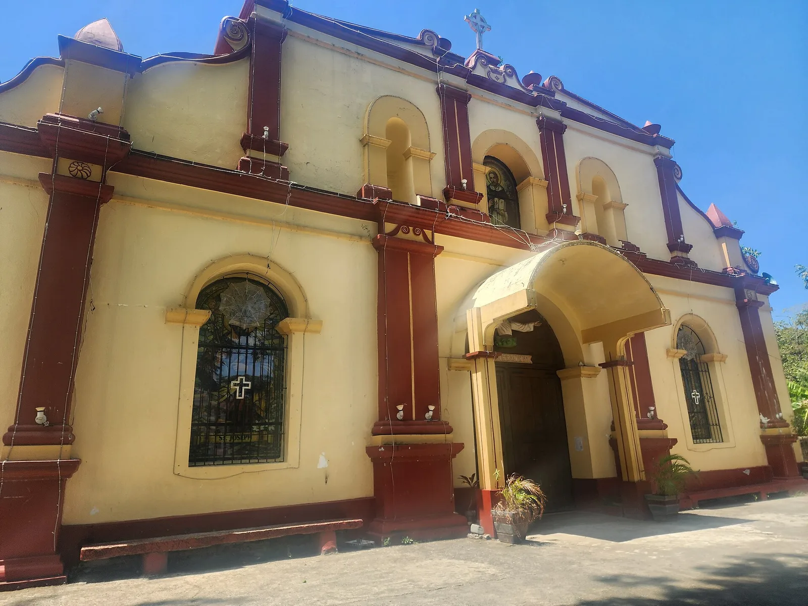
A sight at Maharlika Hwy, Solano. Hours: Open 24 hours. Entry: Free.
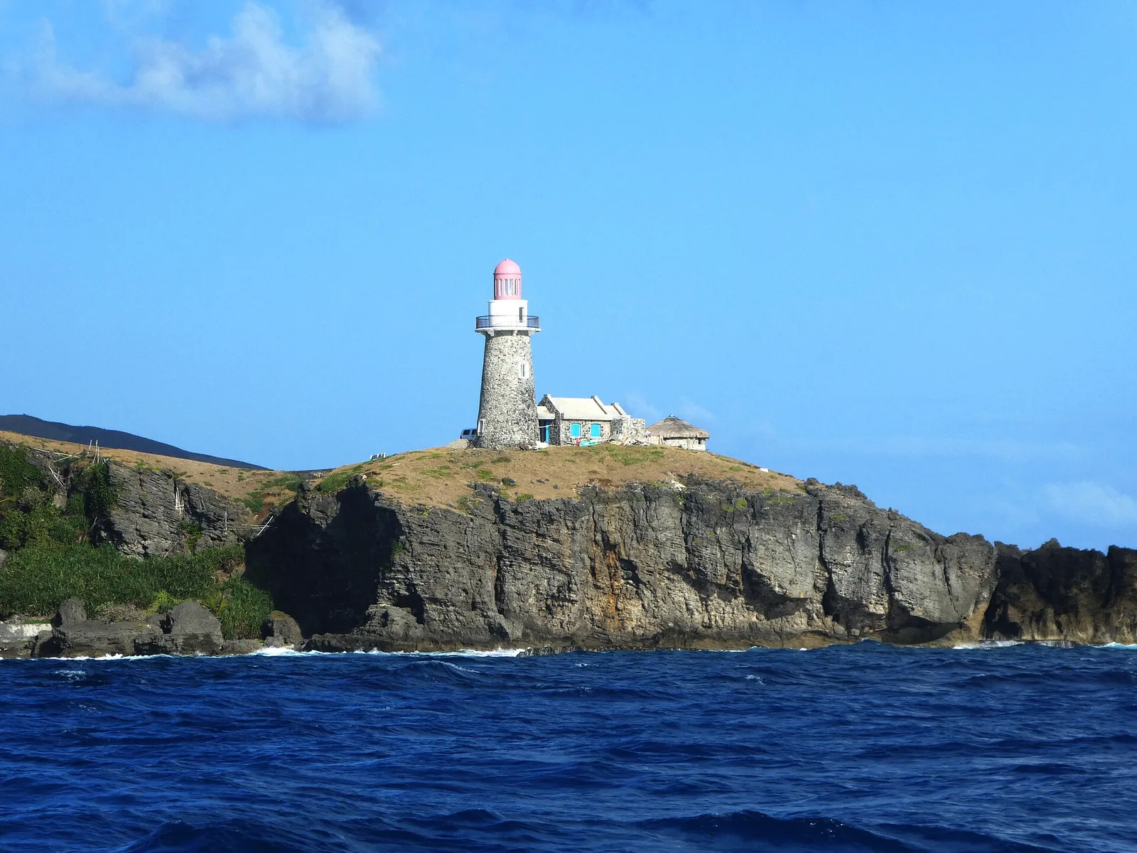
An structure overlooking the northern part of the island and watching the ferries heading to and from Batan Island.
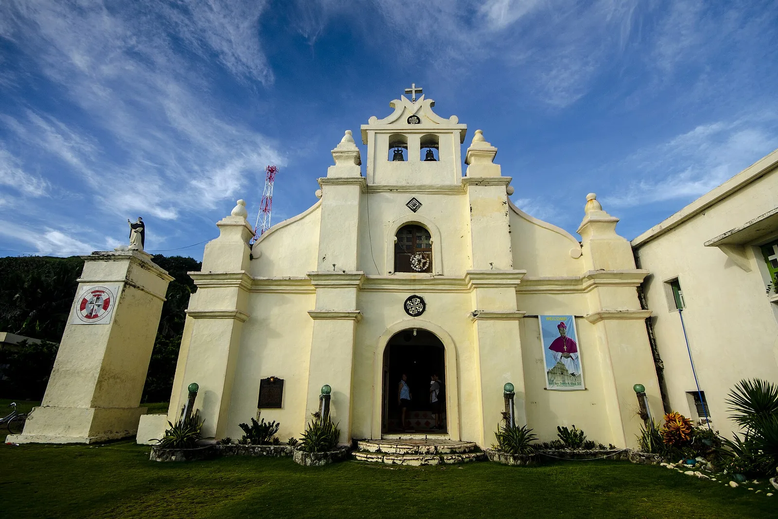
Sabtang's main Roman Catholic church, built in a Baroque style during the Spanish era in 1785.