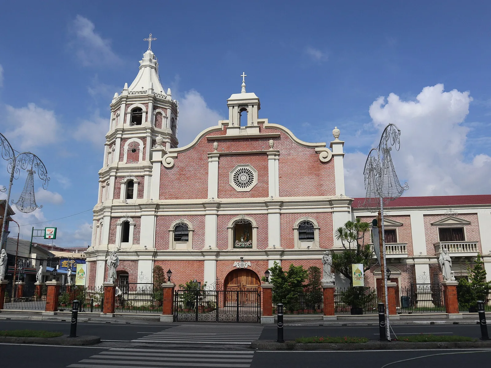
A 3-day plan built from the See, Do and Eat listings in Wikivoyage's Balanga (Bataan) guide. The stops are in an order that keeps each day close together. Check the …
Island group · 8 regions
Showing 511 to 540 of 1,429
A 3-day plan built from the See, Do and Eat listings in Wikivoyage's Balanga (Bataan) guide. The stops are in an order that keeps each day close together. Check the …
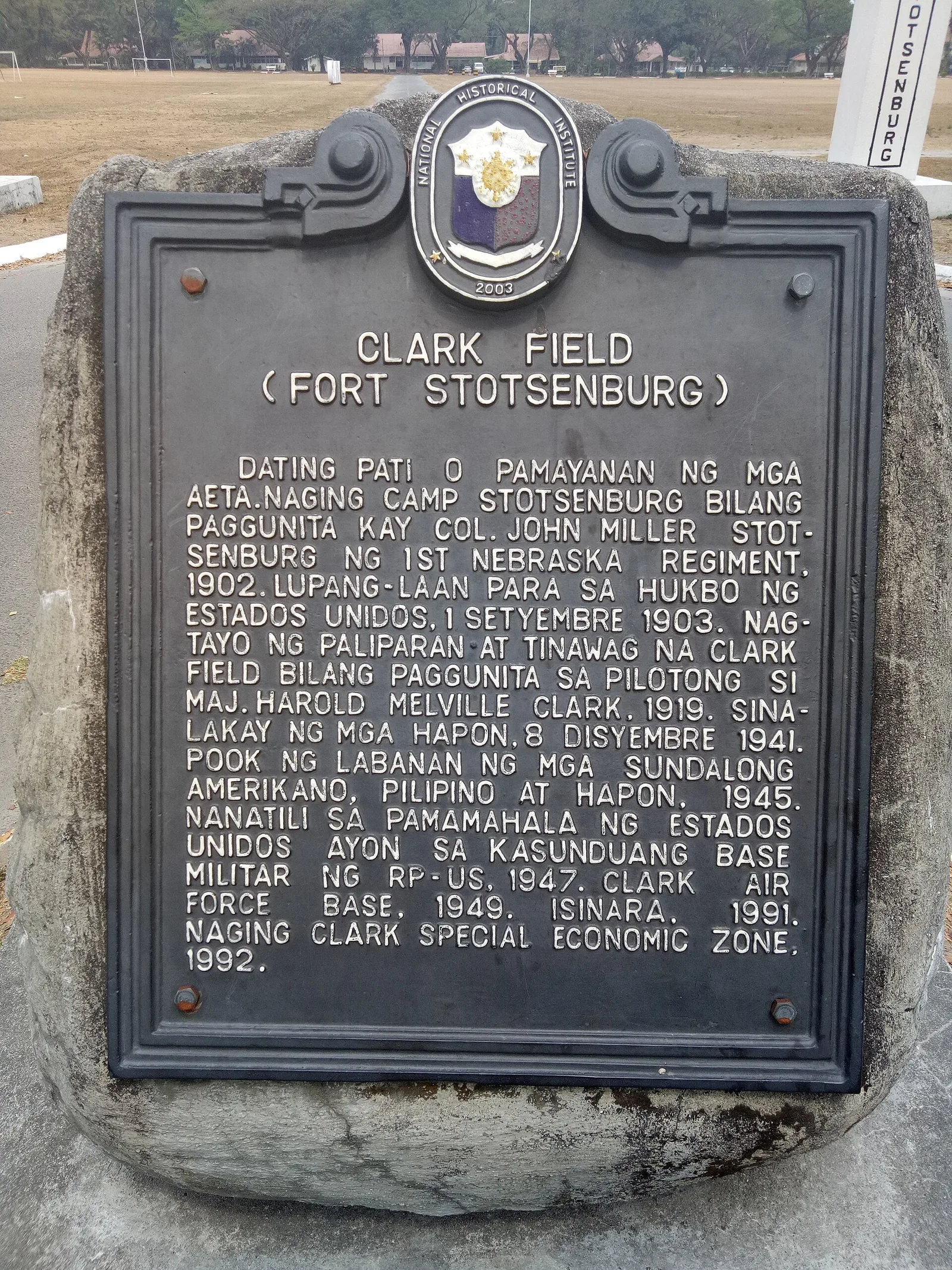
A 3-day plan built from the See, Do and Eat listings in Wikivoyage's Angeles guide. The stops are in an order that keeps each day close together. Check the hours …
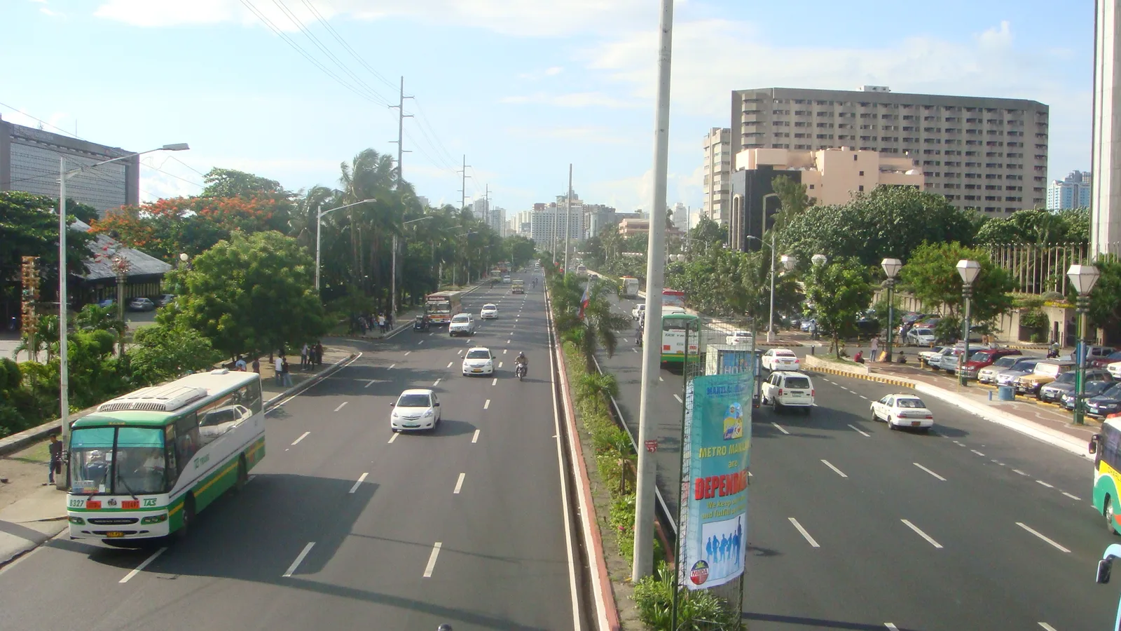
A waterfront road along Manila Bay, known for its sunsets and its long line of coconut trees. Hotels, restaurants, parks, offices and a yacht club face the water from it. The eight-lane road curves south from Luneta in Manila to …
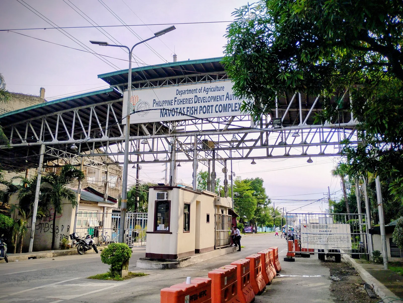
The premier fish centre of the country, and the reason Navotas is called the Fishing Capital of the Philippines. It is the third largest fish port in Asia and the largest in Southeast Asia. North Bay Boulevard, a road of …
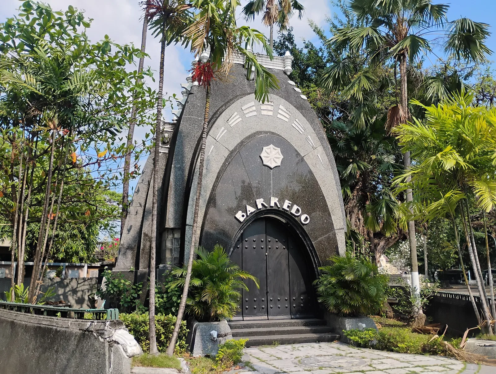
The oldest cemetery in Manila, opened in 1884 as a Catholic burial ground and lying mostly inside Caloocan, with its southern part across the line in the city of Manila. The city government counts it among its sites of historical …
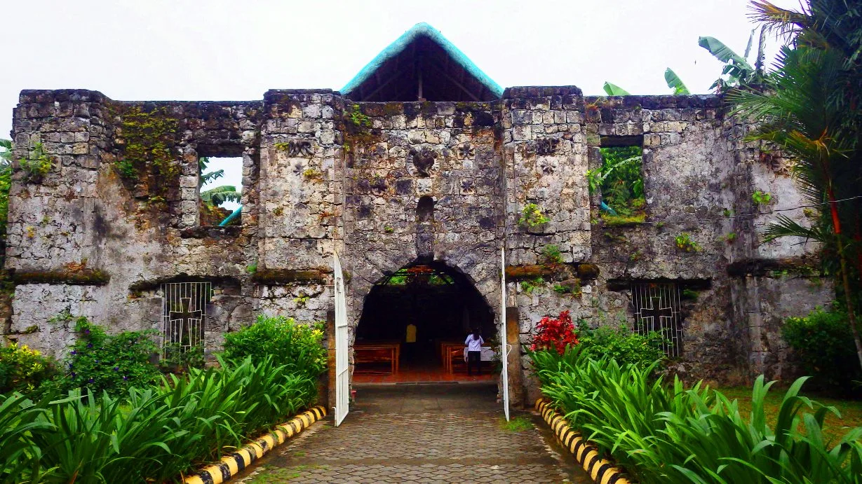
A ruined Roman Catholic church with a small chapel standing inside its massive walls, which is why people call it a church within a church. The local name, Simbahang Bato, means stone church. It is also known as Bancuro Church, …
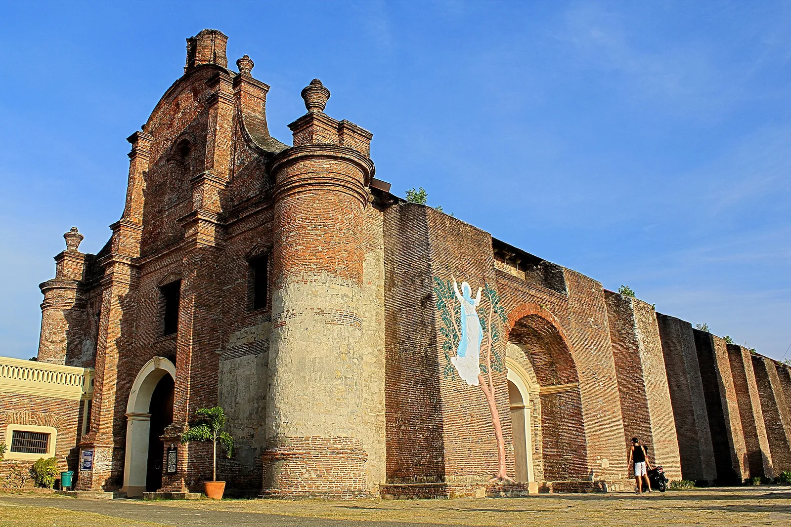
A brick church on a hill above the town, listed by UNESCO on December 11, 1993 as one of the four Baroque Churches of the Philippines. It was built to work as a fort as well as a church, and …
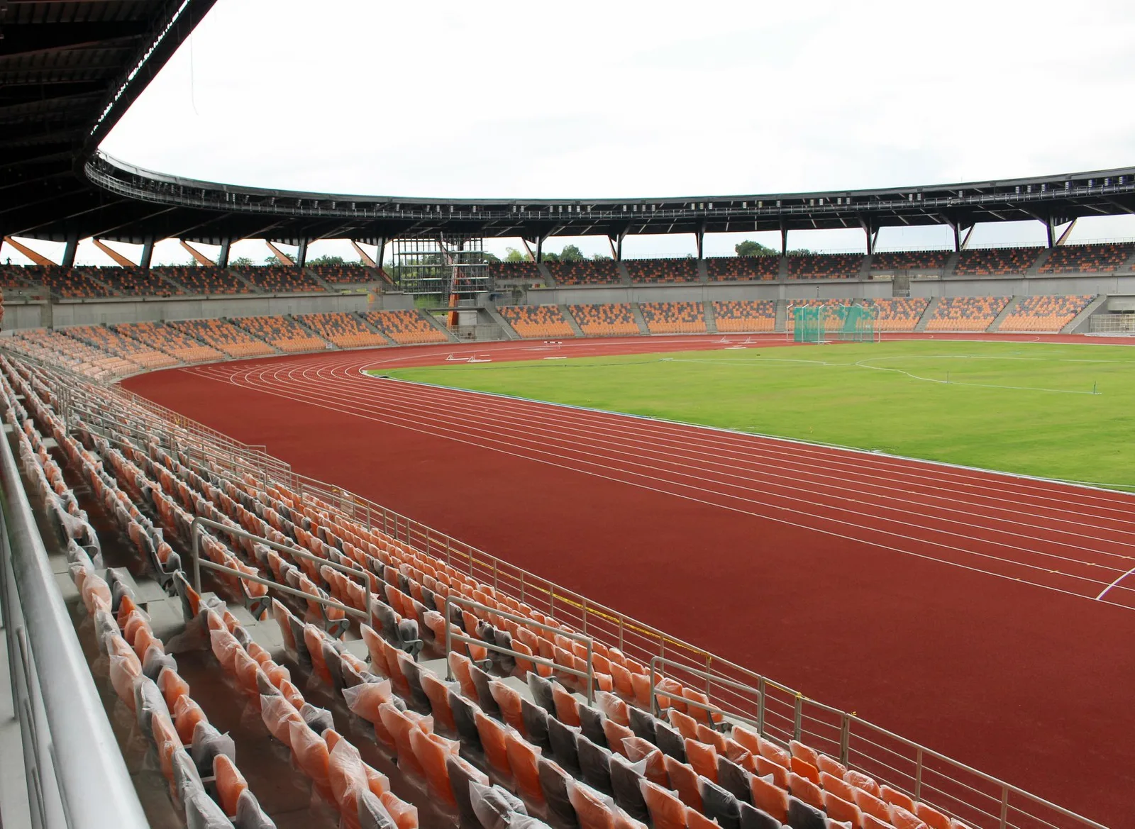
The main venue of the New Clark City Sports Hub, in the government complex at Capas. It held the athletics events and the closing ceremony of the 2019 Southeast Asian Games. The posts and the facade are made of lahar, …
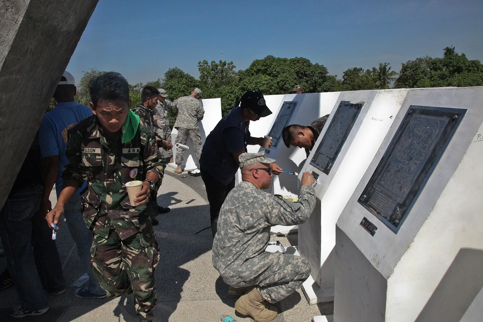
A memorial on the site of Camp Pangatian, a military training camp of twenty years that the Japanese army turned into a prison camp for Allied captives. In January 1945 American forces and Filipino guerrillas raided the camp and freed …
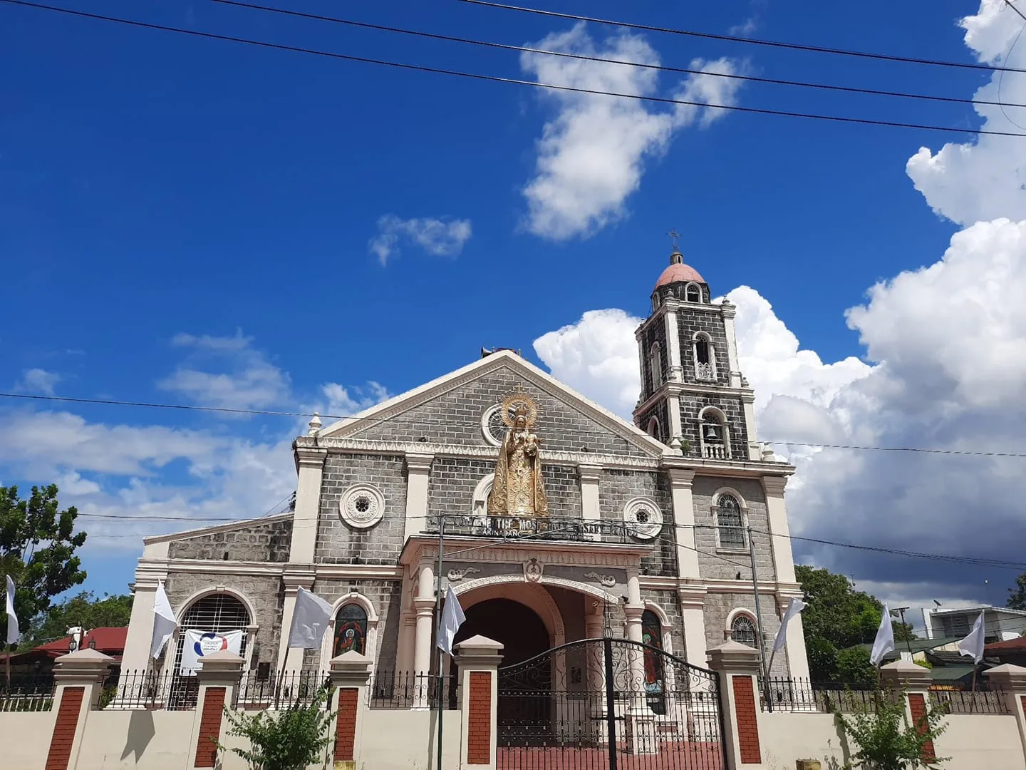
A Marian parish church in Barangay Makinabang, known locally as Bisitang Pula. Its feast day is 7 October, and the procession that goes with it is one of the largest in the city.
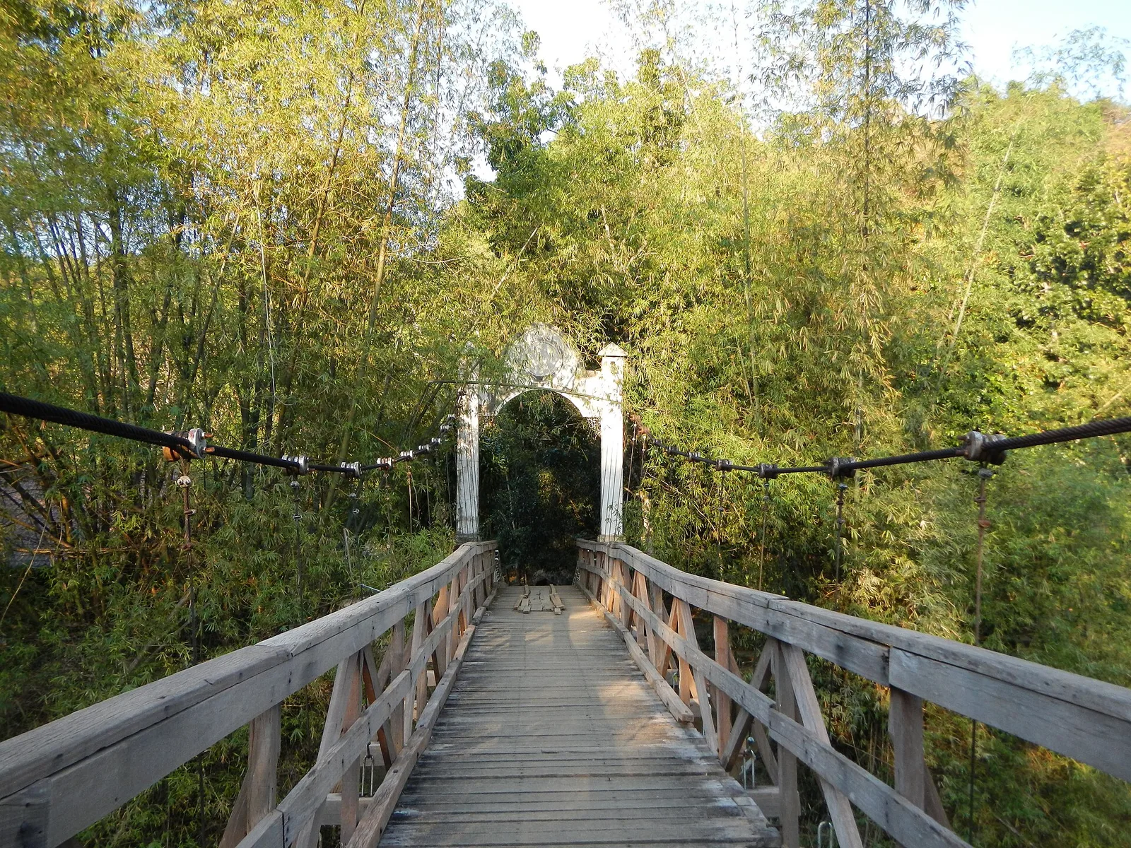
A park of caves, rivers and trails in the hills of San Miguel, 80 kilometres northeast of Manila. The park is the site of the Republic of Biak-na-Bato, and President Manuel L. Quezon made it a national park in 1937 …
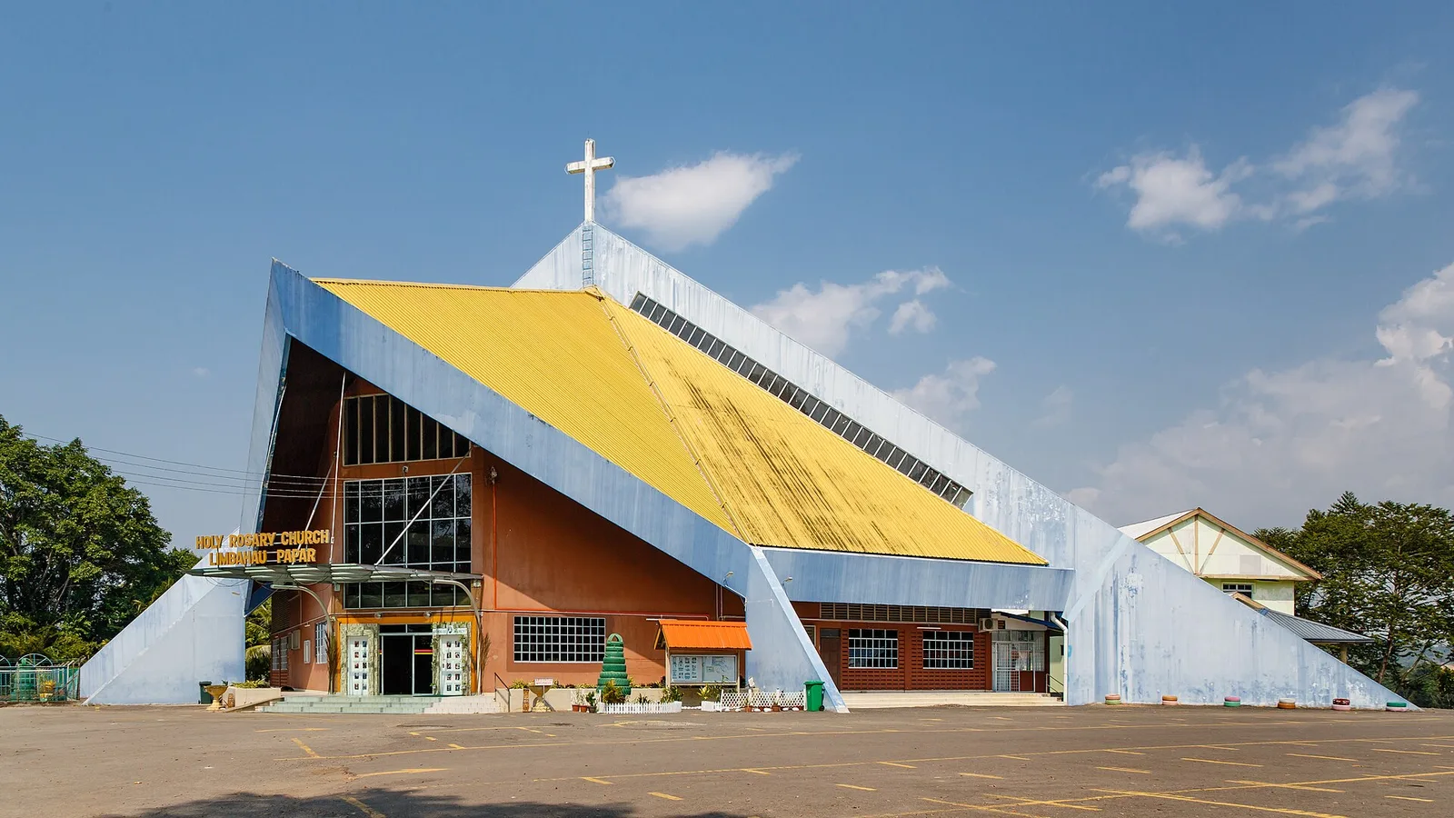
A Catholic church known in Kapampangan as Pisamban Maragul, the big church. Men built it with unpaid labour under the polo y servicio system from 1877 to 1896, the dome went up in 1891, and the work was finished in …
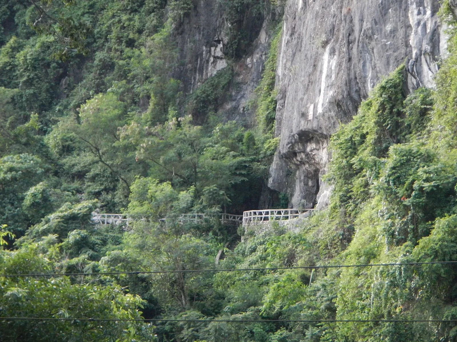
A limestone cave in the foothills of the Sierra Madre, near Wawa Dam in the municipality of Rodriguez. Andres Bonifacio and eight other katipuneros declared independence from the Spanish Empire inside it on April 12, 1895, and the walls still …
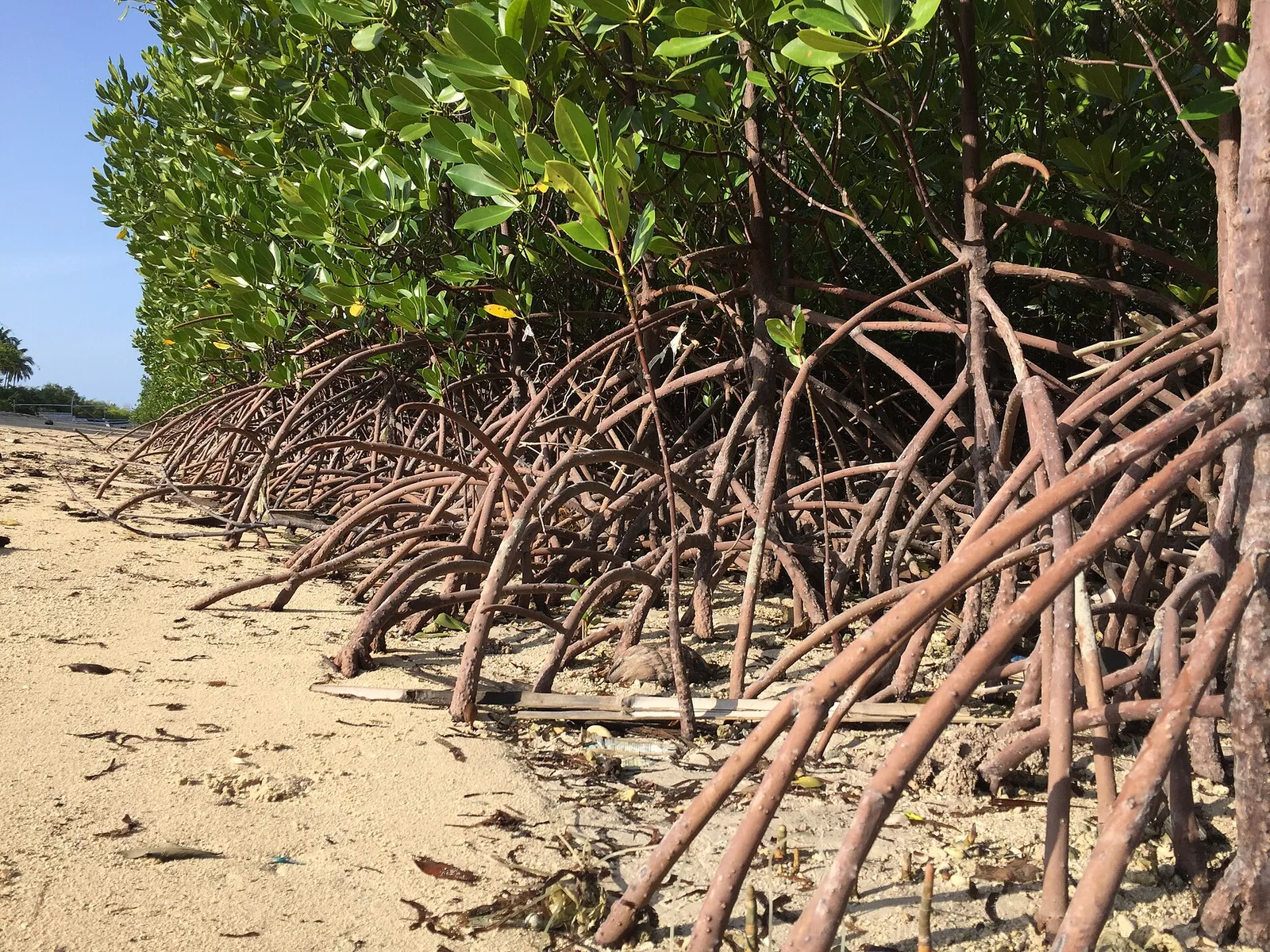
An island in Ragay Gulf, off the southeast coast of the Bondoc Peninsula, with white sand beaches, mangrove forest and coral reefs. Birdlife here is rich. The island and the water around it form the Alibijaban Protected Landscape and Seascape, …
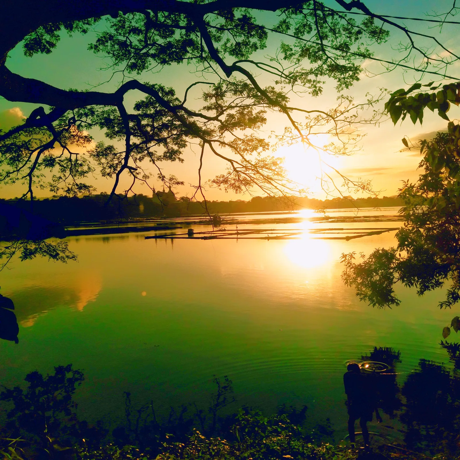
The largest of the seven crater lakes scattered around the city, and the easiest one to reach: it sits directly behind the city hall. Fishpens and small cottages on stilts stand in the water. A public playground was built on …
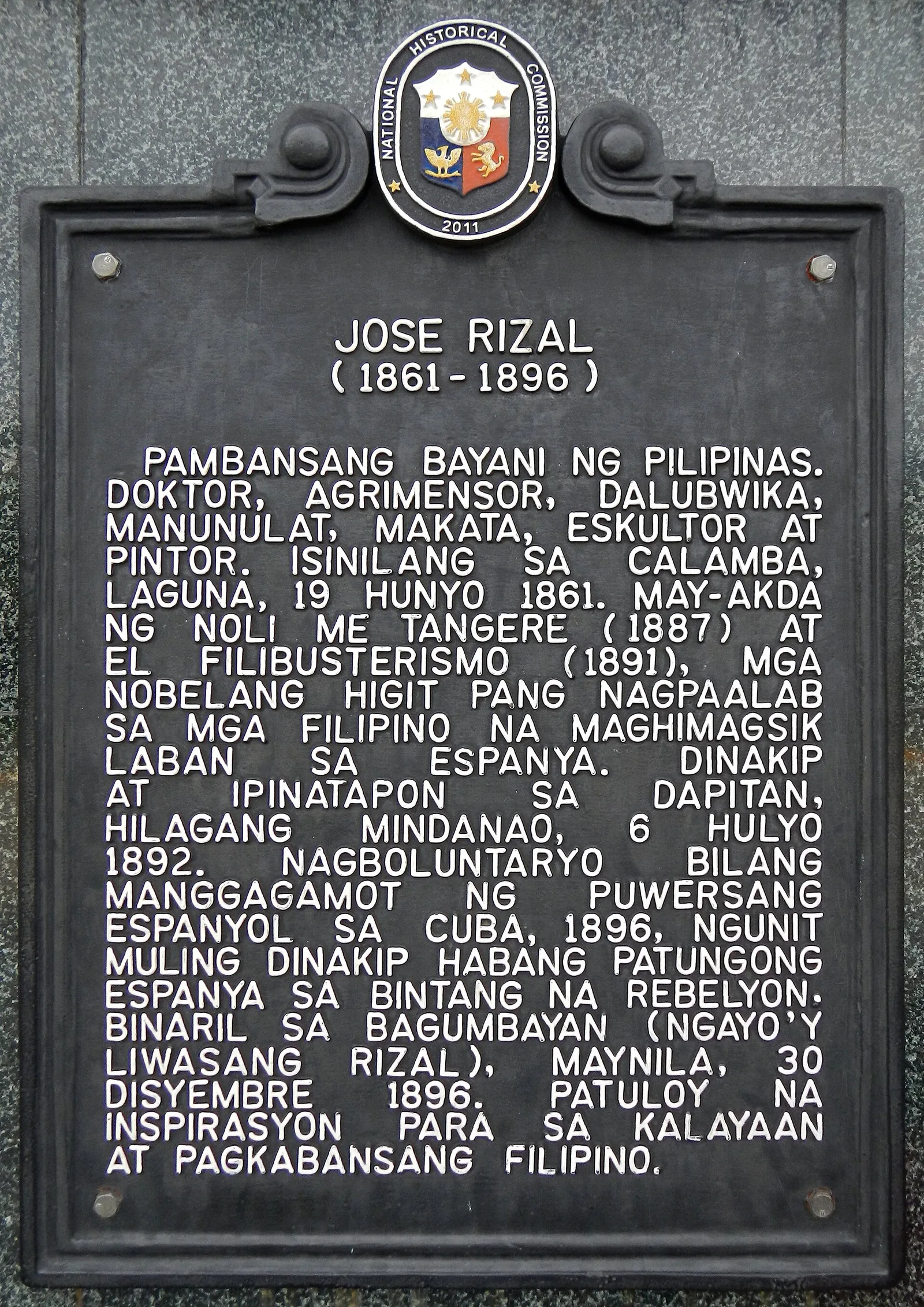
A statue of Jose Rizal 6.7 metres tall, at the centre of The Plaza, a park of 6.7 hectares across from the Calamba City Hall complex on Bacnotan Road. Jonas Roces sculpted it, and President Benigno Aquino III unveiled it …
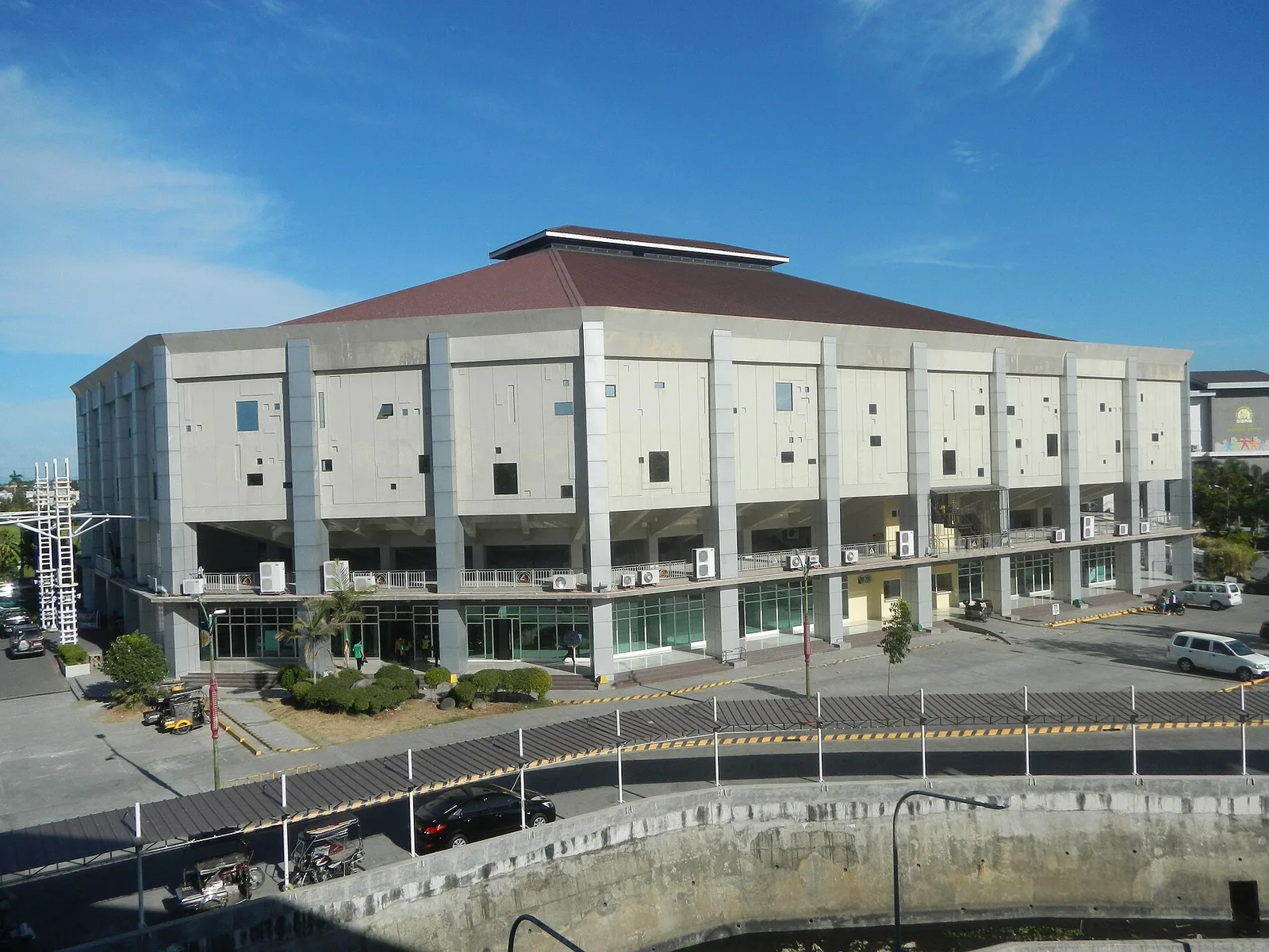
An indoor arena seating 6,500, home court of the Biñan Tatak Gel in the Maharlika Pilipinas Basketball League and the Pilipinas Super League. It has also hosted Philippine Basketball Association games, the defunct Philippine Super Liga and the 2019 Asia-Oceania …
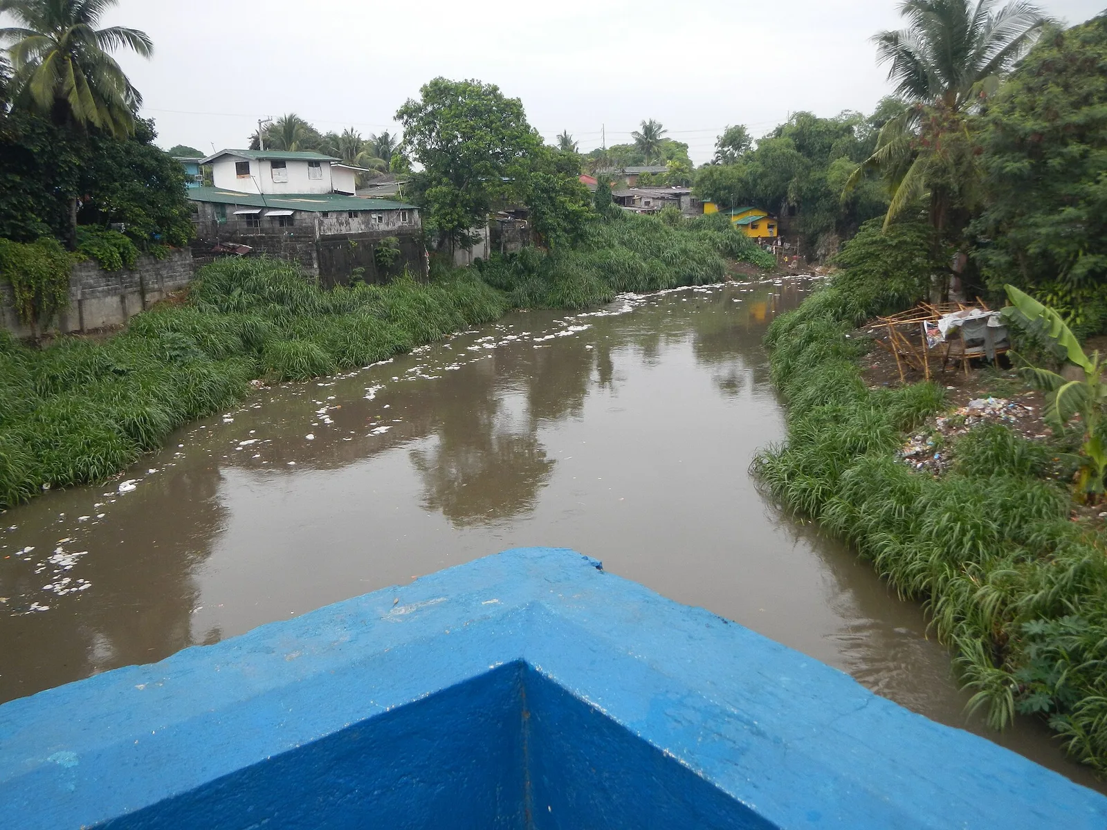
A two-span stone arch bridge finished in 1857, and the site of the Battle of Imus. Filipino revolutionaries fought the soldiers of the Spanish colonial government here on September 3, 1896, in an action also called the Battle of Imus …
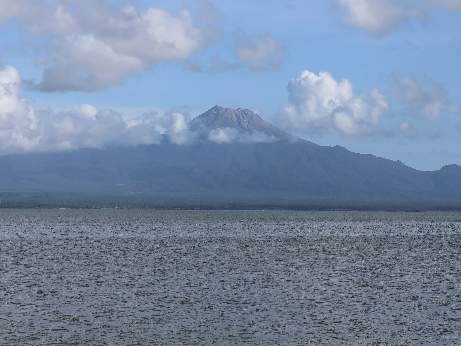
An active stratovolcano in southern Luzon, 1,535 metres high, with a permanent danger zone that keeps people 4 kilometres from the crater. The cone rises on the northeast rim of the Irosin caldera, which formed about 36,000 years ago, and …
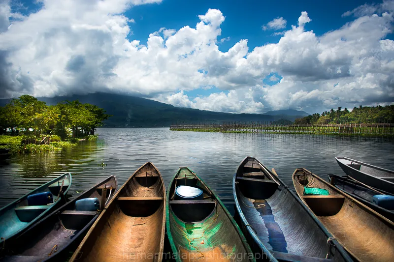
A lake of 18 square kilometres that holds the sinarapan, the world's smallest commercially harvested fish. It sits in the valley between two old volcanoes, Mount Asog and Mount Malinao, and averages 8 metres deep. An earthquake in 1641 dropped …
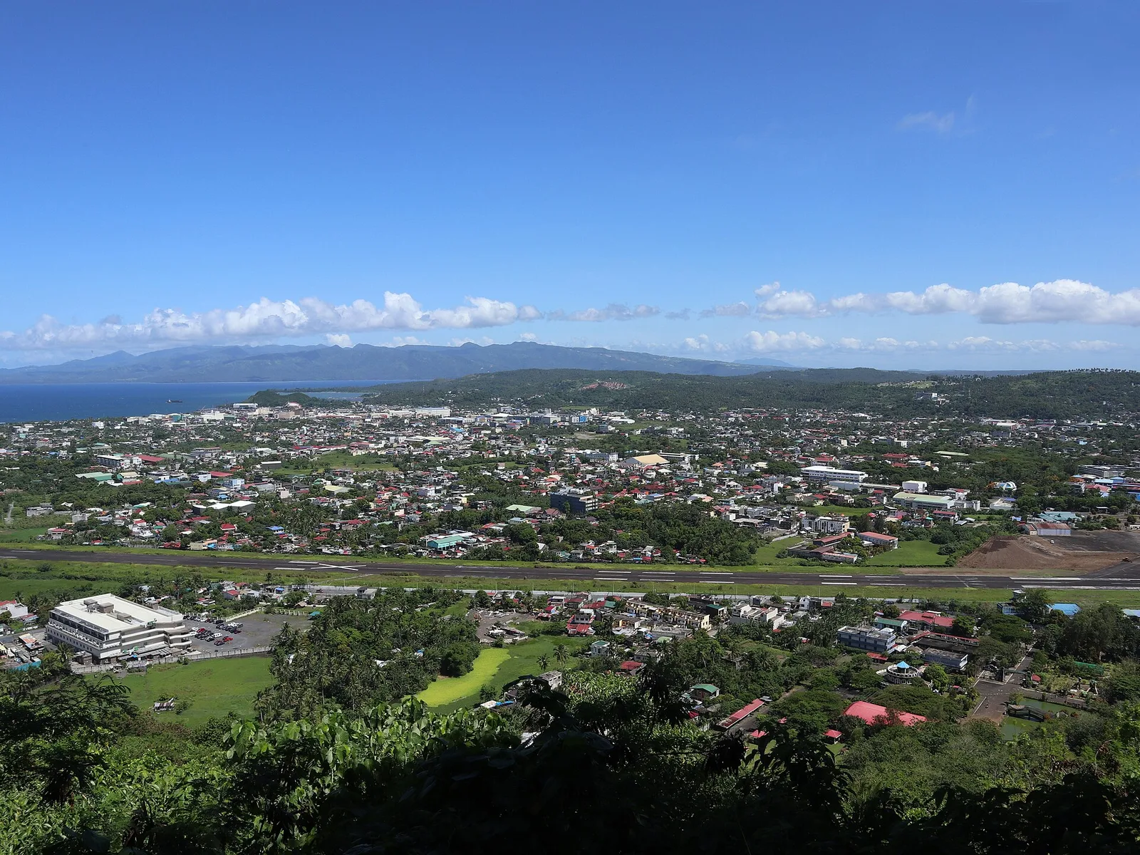
A hill above the city with a view of Mayon, the gulf and the airport, and a zipline down. The summit stands about 156 metres high, and it is the highest point in Legazpi after Mayon itself. The hill sits …
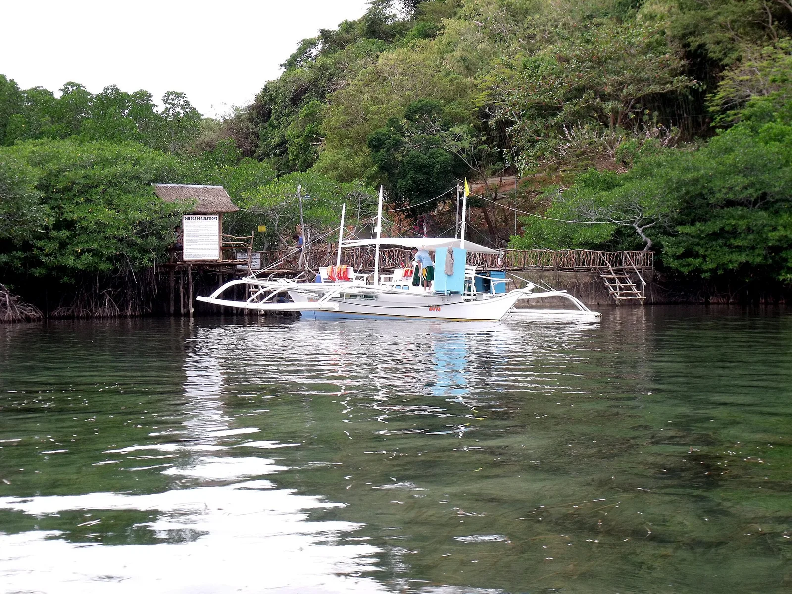
A saltwater hot spring by the mangroves, usually the last stop of the day.
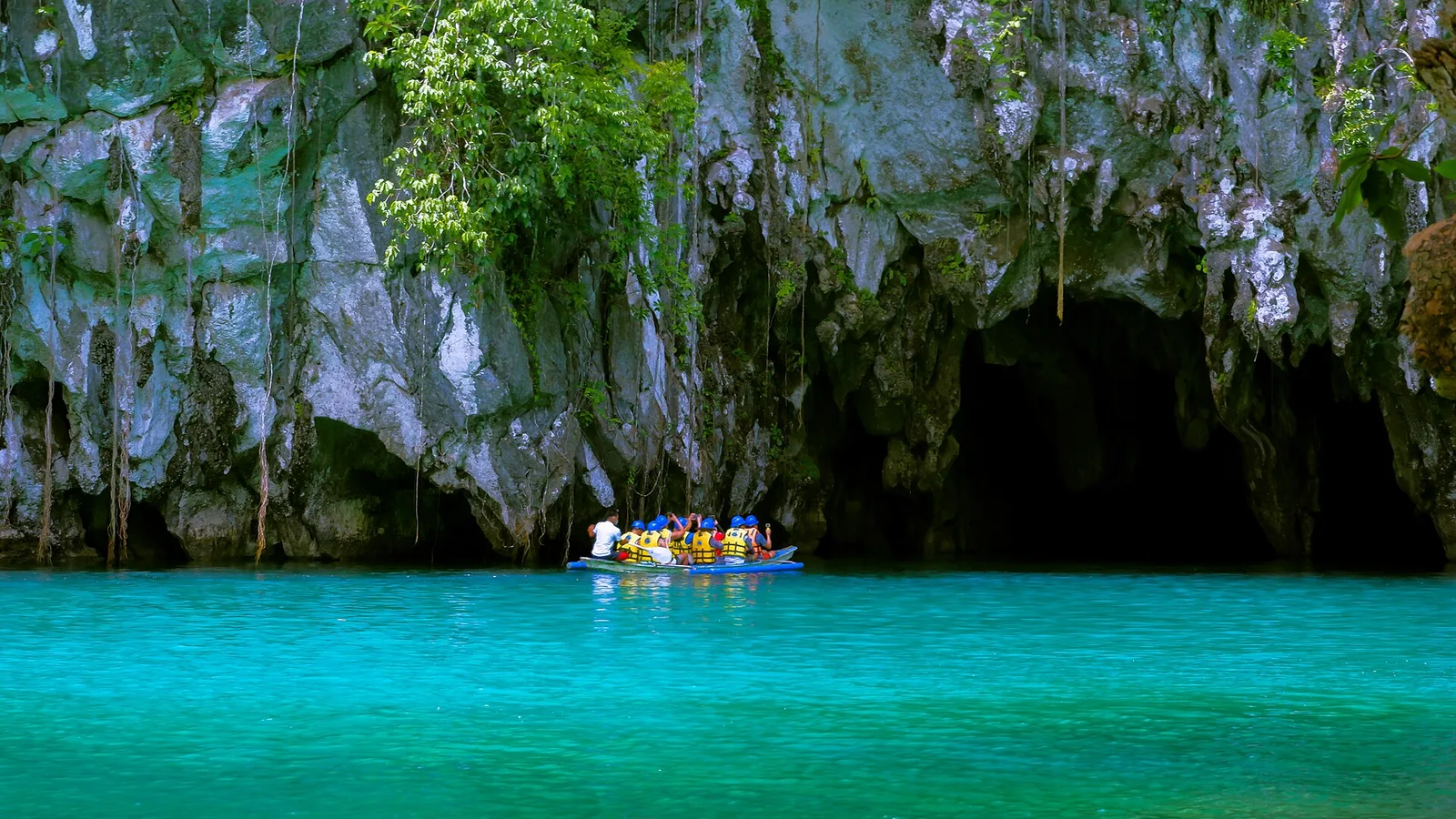
A navigable river running under a limestone mountain to the sea, entered by paddle boat. Permits are capped daily and booked ahead. The river lies in a national park in the Saint Paul Mountain Range, about 80 kilometres north of …
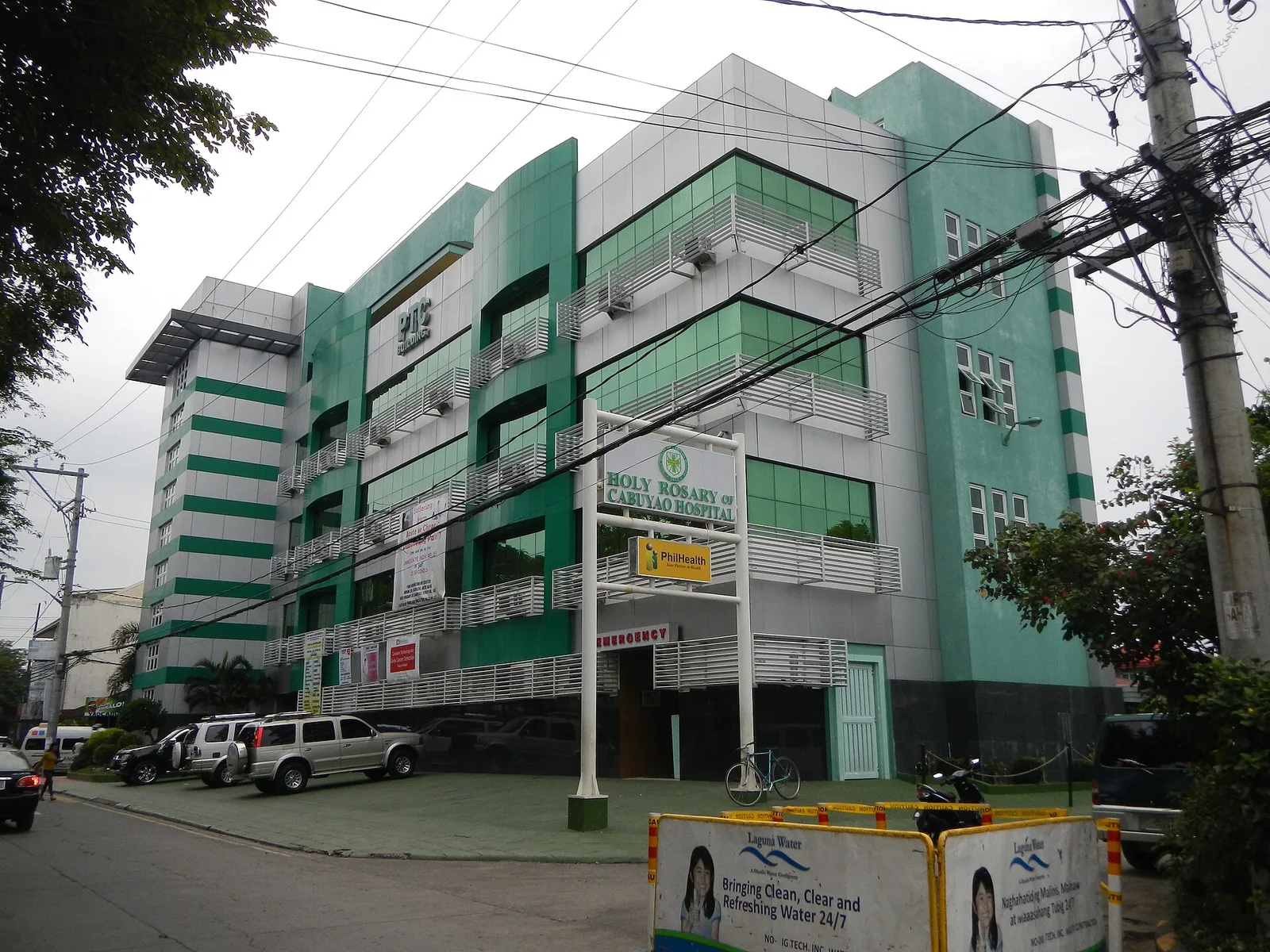
The city's feast of the Child Jesus, held on the third Sunday of January. A Mass at Cabuyao Church starts the day, then every Santo Niño image in the city goes on parade through the city proper. The Alimagno family began the celebration in 1981 to give thanks …
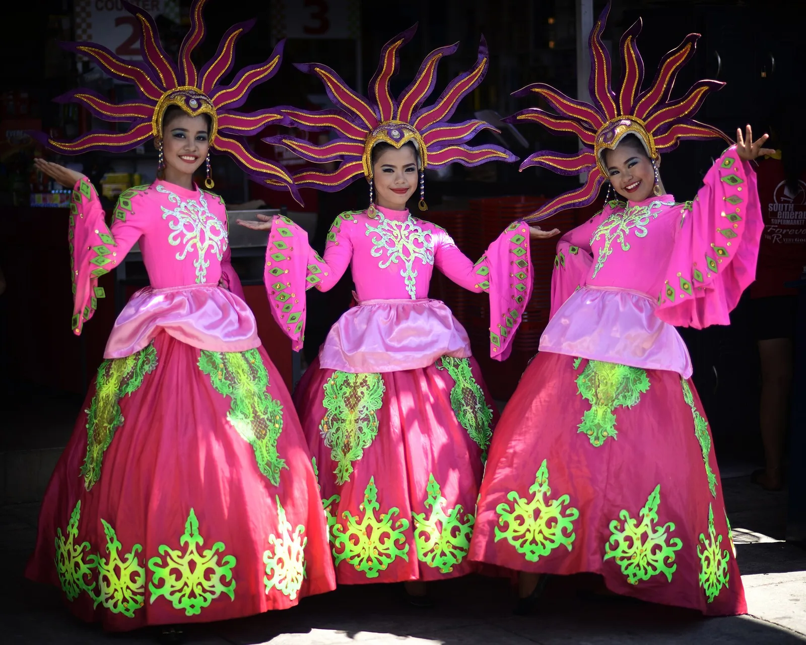
The city's yearly festival, run by the city government, with live music, food, dancing and other leisure events. It began in 1987 and has been held every year since. The Grand Parade is the main day: floats built by the businesses and groups that join, street dancing, marching …
Photo: Ranieljosecastaneda · Wikimedia Commons, CC BY-SA 4.0
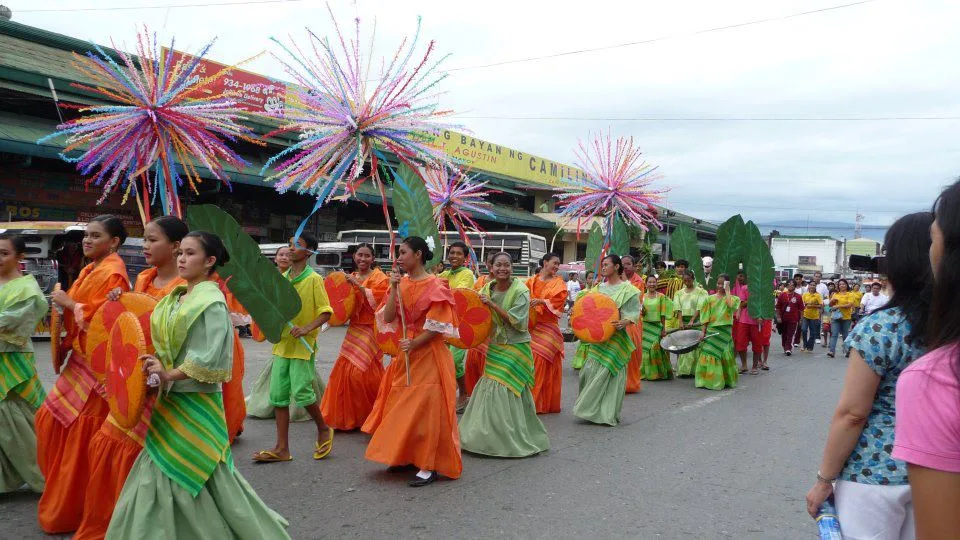
A harvest and pork festival in the town of Camiling, held in the last week of October, just before All Saints' Day. It gives thanks for the crop and for the year's meat, above all the chicharon that Ilocanos call bagnet. The other food of the week is …
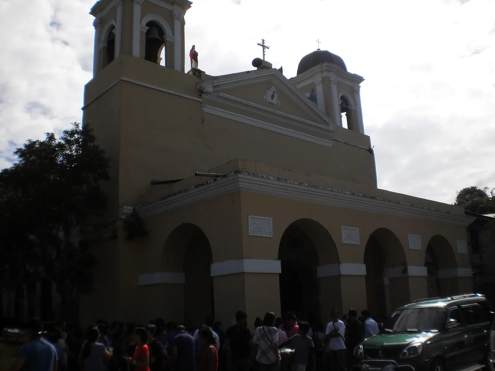
Two days for the image found in the Pansipit River in 1603. A procession goes from the shrine down to the river, a fluvial procession follows, and the town walks the image back up to the basilica.
Photo: Carl Flores Trinidad · Wikimedia Commons, CC BY-SA 3.0
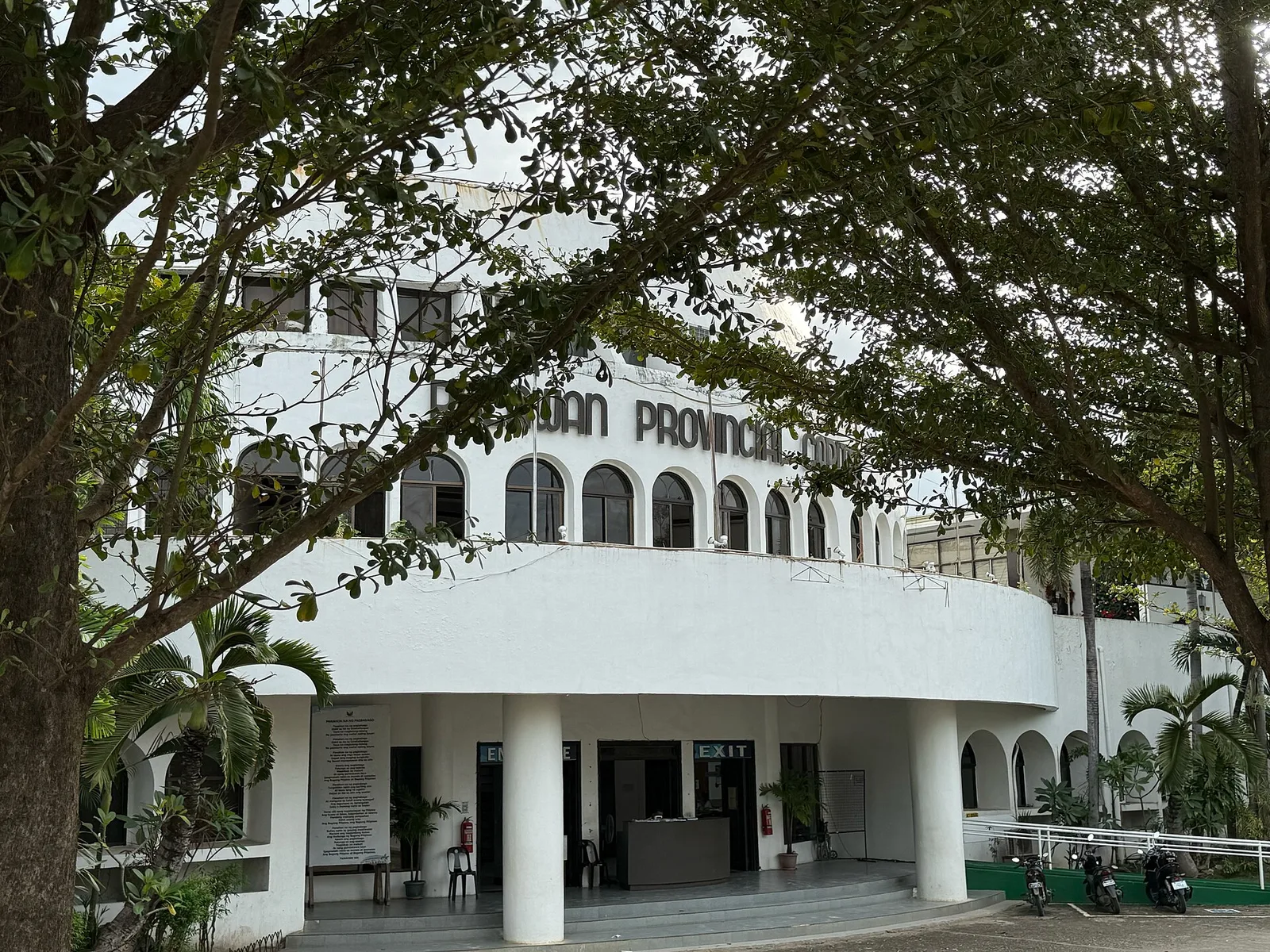
The province's festival, held in its capital: every town of Palawan sets up a booth at the capitol. The grand parade ran on 12 June and the festival closed on 23 June.
An observation post on the hilly boundary with Kalinga province that offers views of the surrounding Chico River valley.


