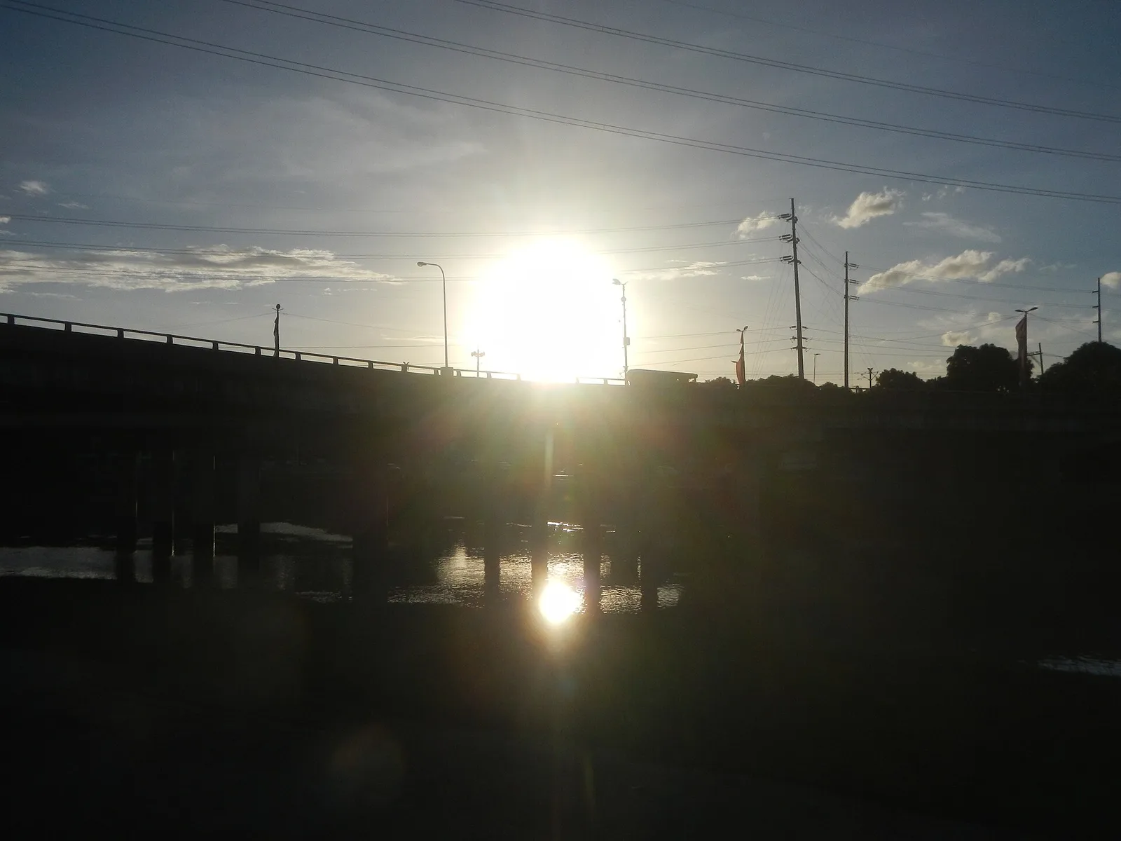
Marikina River Park
A chain of parks, trails and sports grounds along an 11-kilometre stretch of the Marikina River, 220 hectares in all. It runs through seven villages on the west side of the city and holds the Riverbanks Center, a mall and …
Island group · 8 regions
Showing 781 to 810 of 1,212
A chain of parks, trails and sports grounds along an 11-kilometre stretch of the Marikina River, 220 hectares in all. It runs through seven villages on the west side of the city and holds the Riverbanks Center, a mall and …
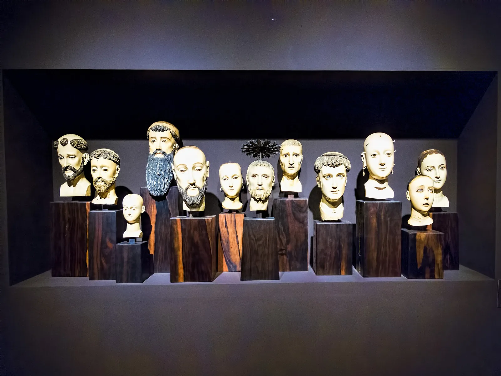
A private museum of fine arts and history, best known for Gold of Ancestors, a display of more than one thousand gold objects made before the Spanish came. The Ayala Foundation runs it, and the rest of the collection covers …
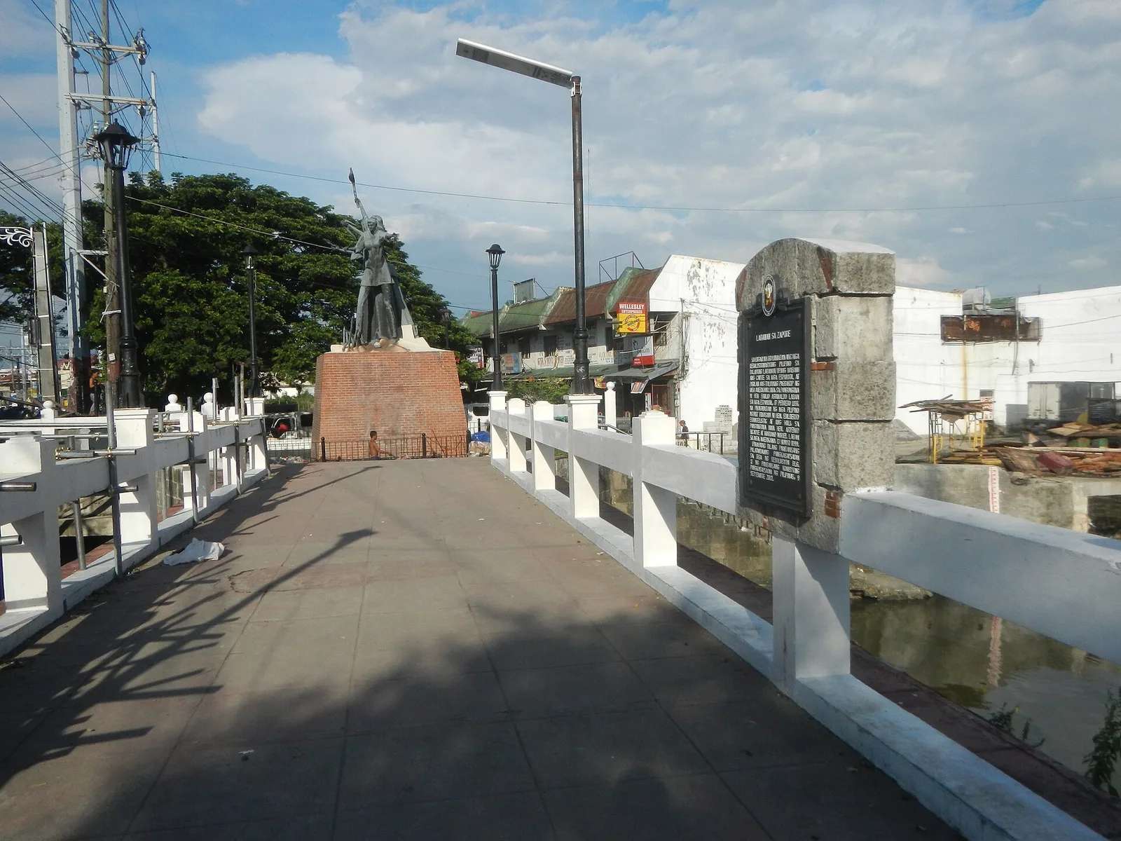
A stone arch footbridge over the Zapote River, on the line between Las Piñas and Bacoor in Cavite. Two battles were fought here: the Battle of Zapote Bridge in 1897, between Filipino revolutionaries and the Spanish colonial government, and the …
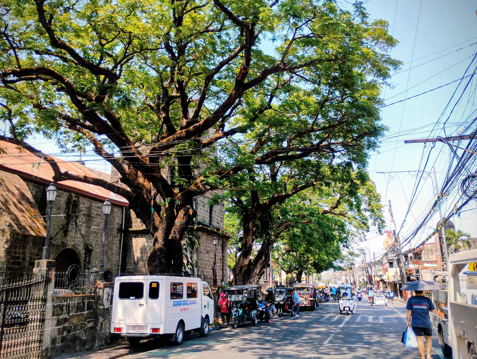
The old main road of the city and the spine of its historical corridor, with the Las Piñas Church, the Gabaldon Hall and the old district hospital along it. The road marks where the shore of Manila Bay ran in …
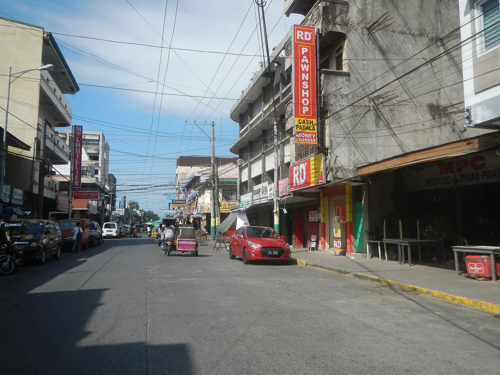
The street to eat on in Dagupan, and the centre for the local cooking. Pigar-pigar and kaleskes both started in this city, along with Bonuan boneless bangus. Dagupan calls itself the Bangus Capital of the Philippines and the Kitchen of …
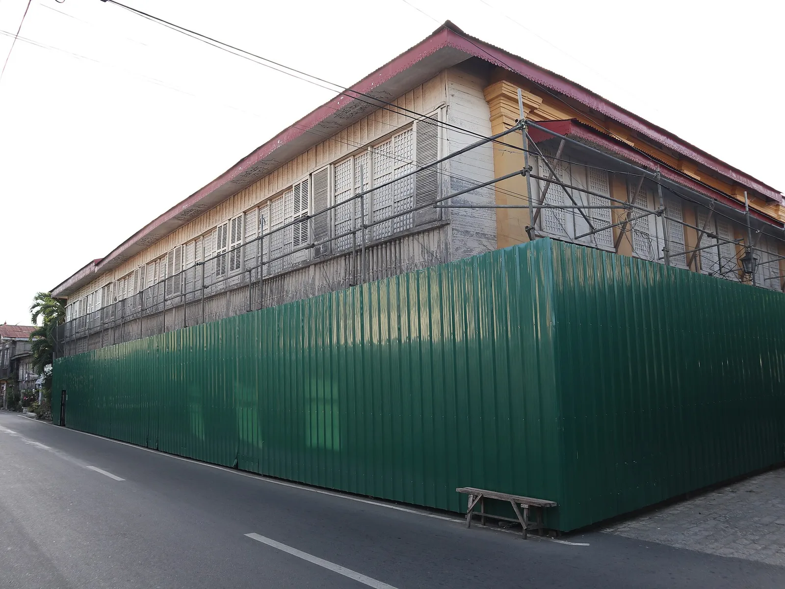
One of the oldest stone houses, or bahay na bato, in Vigan, now open as a museum. Justo Angco built it in 1830 and gave it as a dowry when his daughter married Gregorio Syquia in 1875. The ground floor …
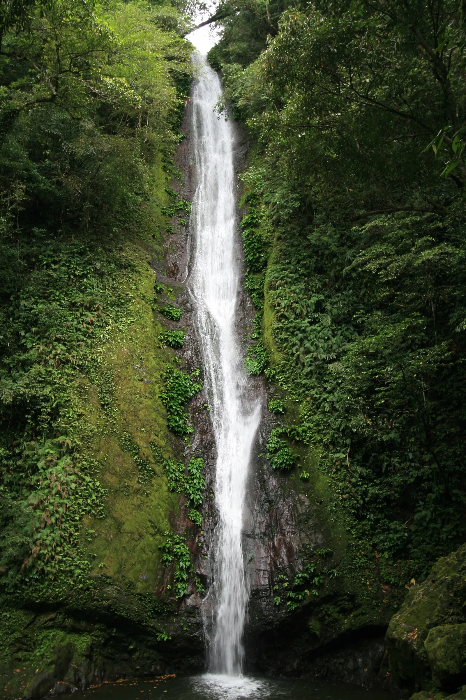
A waterfall of about 27 metres that drops into a bowl-shaped basin in thick forest. It stands in Barangay Balaoi in Pagudpud, and the trail in starts near Bantay Abot Cave. With the improved access road of 900 metres, the …
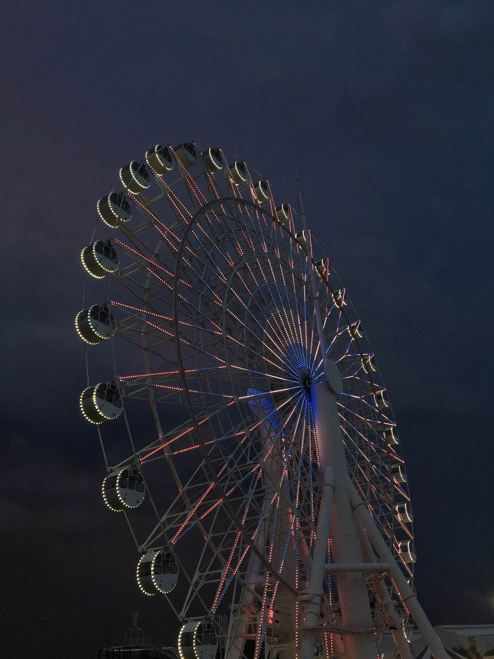
A Ferris wheel 65 metres high, the tallest in the country, and 50 metres across. It stands at Sky Ranch Pampanga, beside SM City Pampanga.
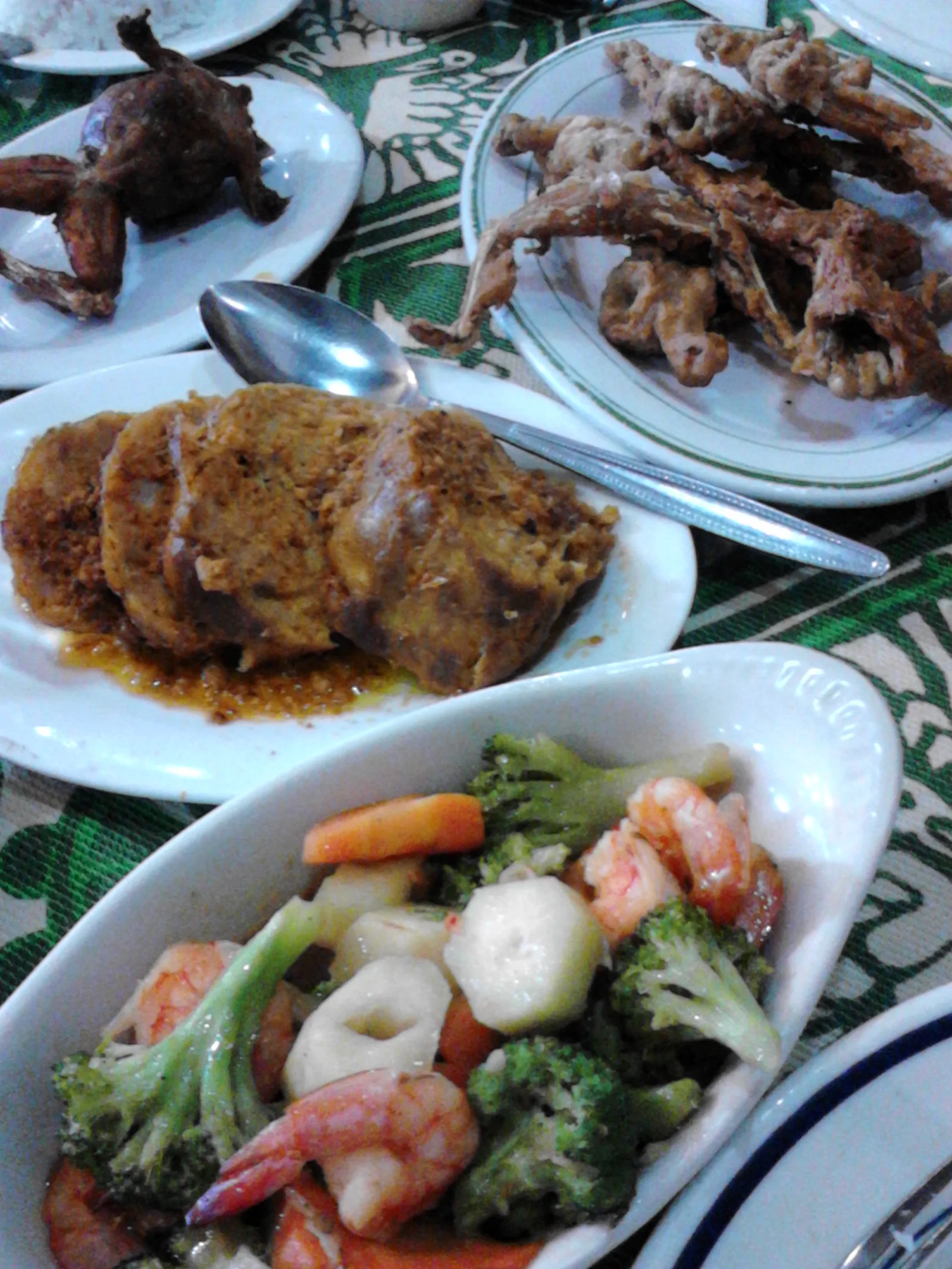
One of the oldest restaurants in Pampanga, on MacArthur Highway in Barangay Del Pilar. The Jorolan family built it in 1946. It serves the Kapampangan dishes that made its name: betute (stuffed frogs), kamaru (crickets) and pindang damulag (carabao meat). …
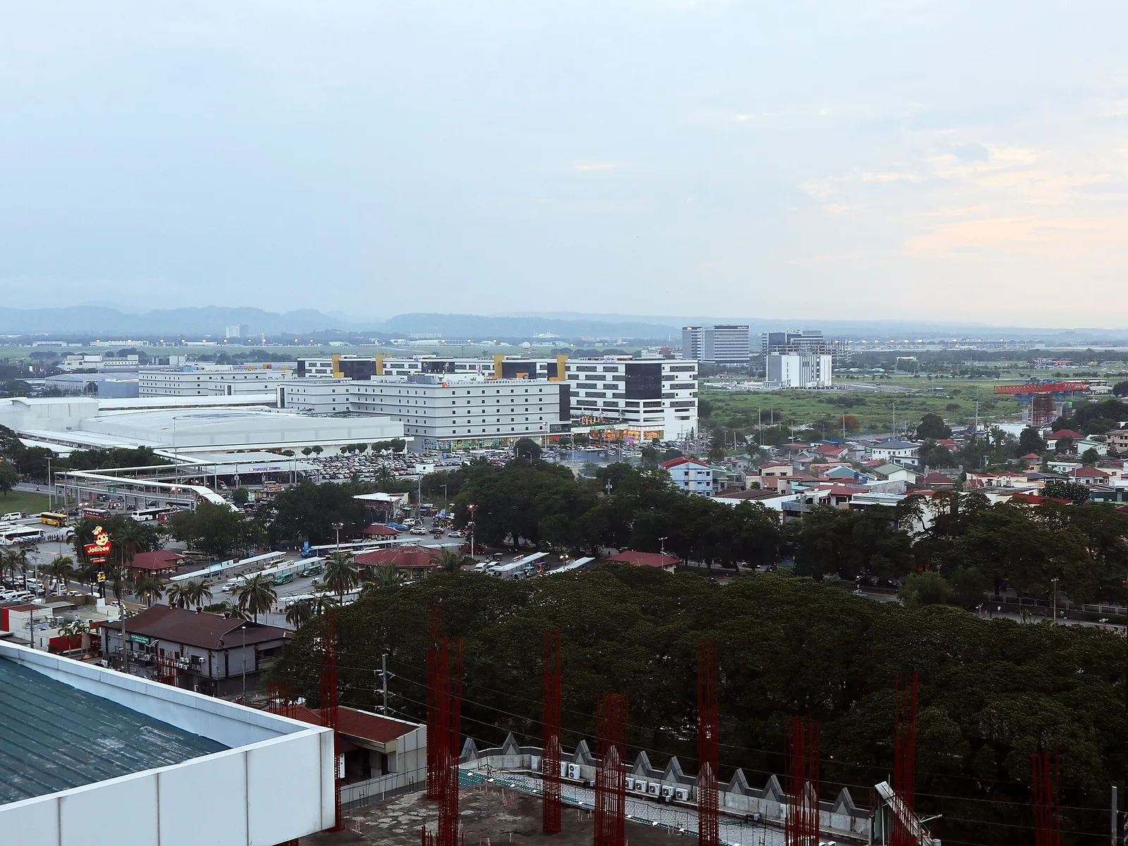
A large freeport of hotels, casinos, golf courses and resorts, most of it inside Mabalacat and the rest in neighbouring Angeles, where the main gate is. It was Clark Air Base until 1991, when the United States Air Force left. …
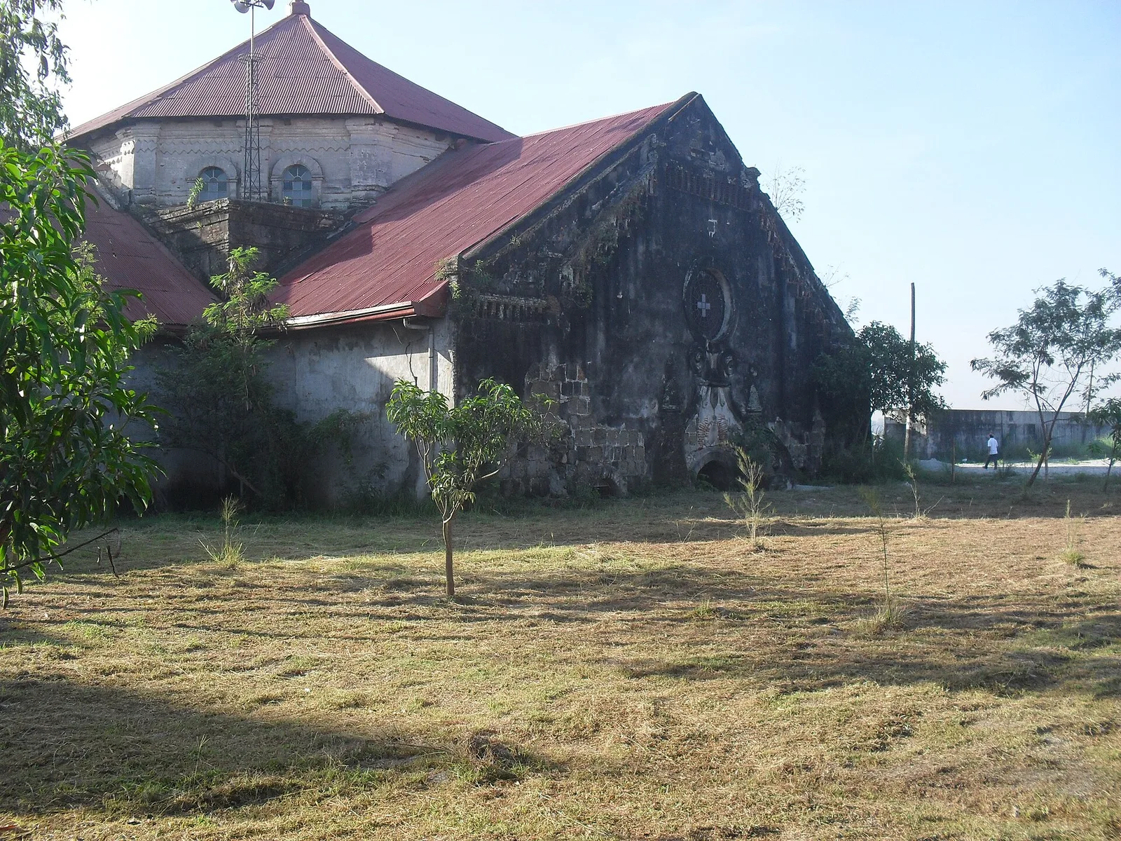
A church that stands half buried in volcanic mud. On September 3, 1995 lahar from the 1991 eruption of Mount Pinatubo filled the building to half of its 12 metres of height, and more than 50,000 people of the town …
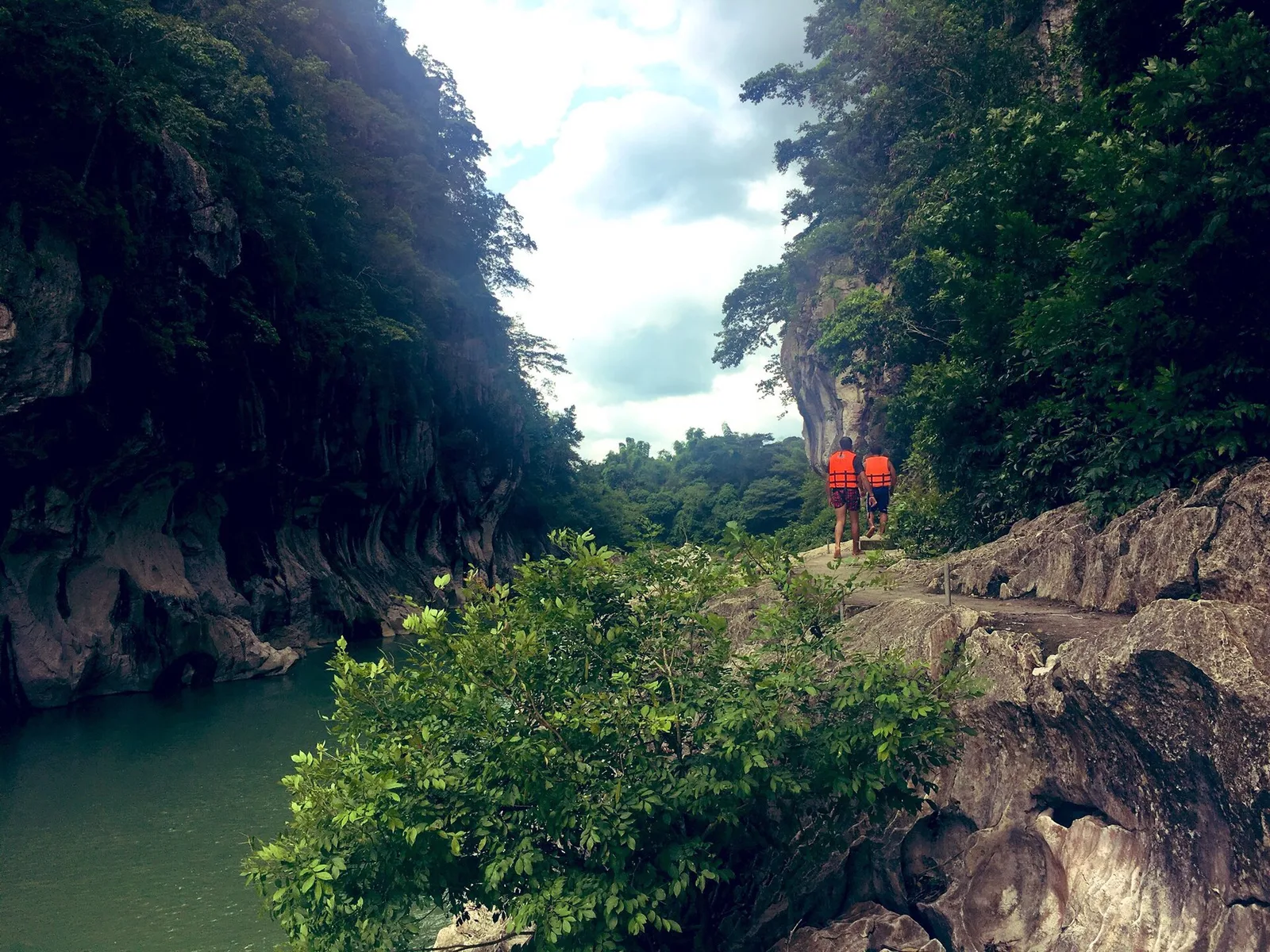
A stretch of the Peñaranda River walled by limestone up to 16 metres high, in the foothills of the Sierra Madre. The park covers 2,018 hectares in General Tinio, next to the boundary with Doña Remedios Trinidad in Bulacan, and …
An indoor arena that seats 55,000, the second largest in the world after the KJC King Dome in Davao City. The Iglesia ni Cristo built it for its centennial in 2014, and New Era University owns it. It stands in …
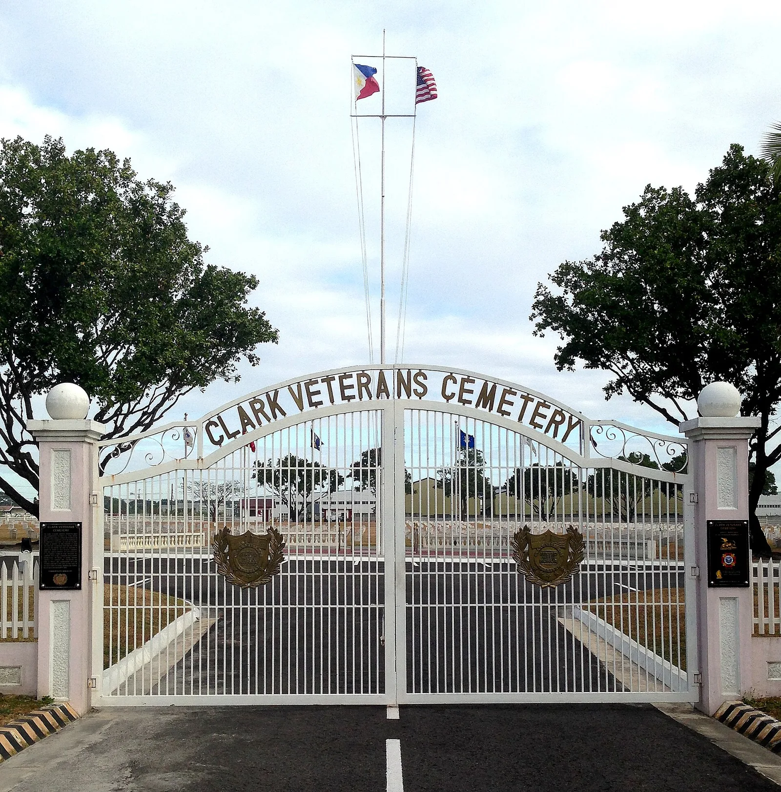
A military cemetery inside the Clark Freeport Zone, with the graves of thousands of American veterans and Filipino Scouts of the United States Army. The men buried here died on military bases in the Philippines or in conflicts other than …
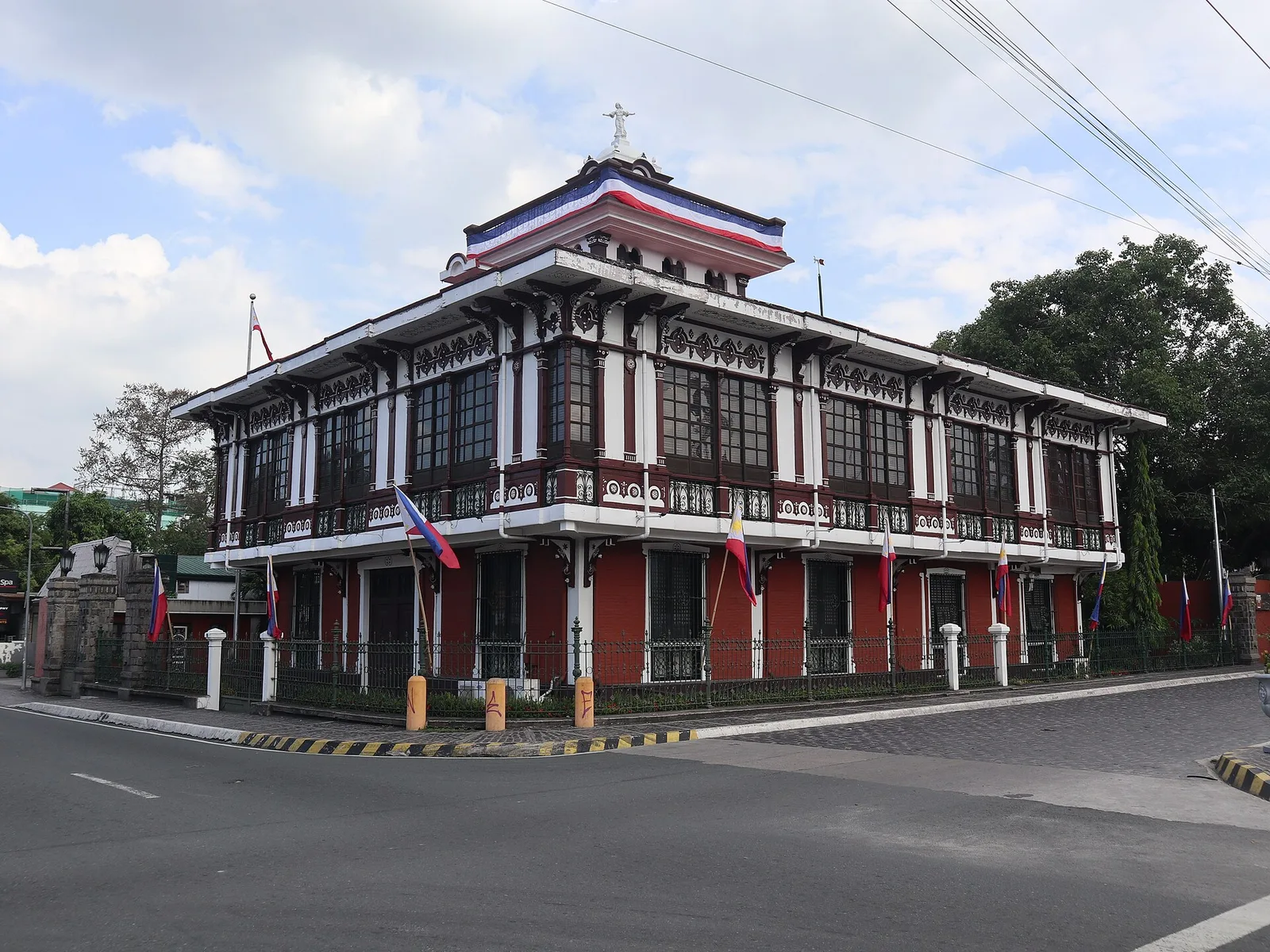
A heritage house from the 1880s, built by the Pamintuan family and kept as a museum of history and social studies. Aguinaldo waved the Philippine flag from the second-floor balcony here on 12 June 1899, the first anniversary of the …
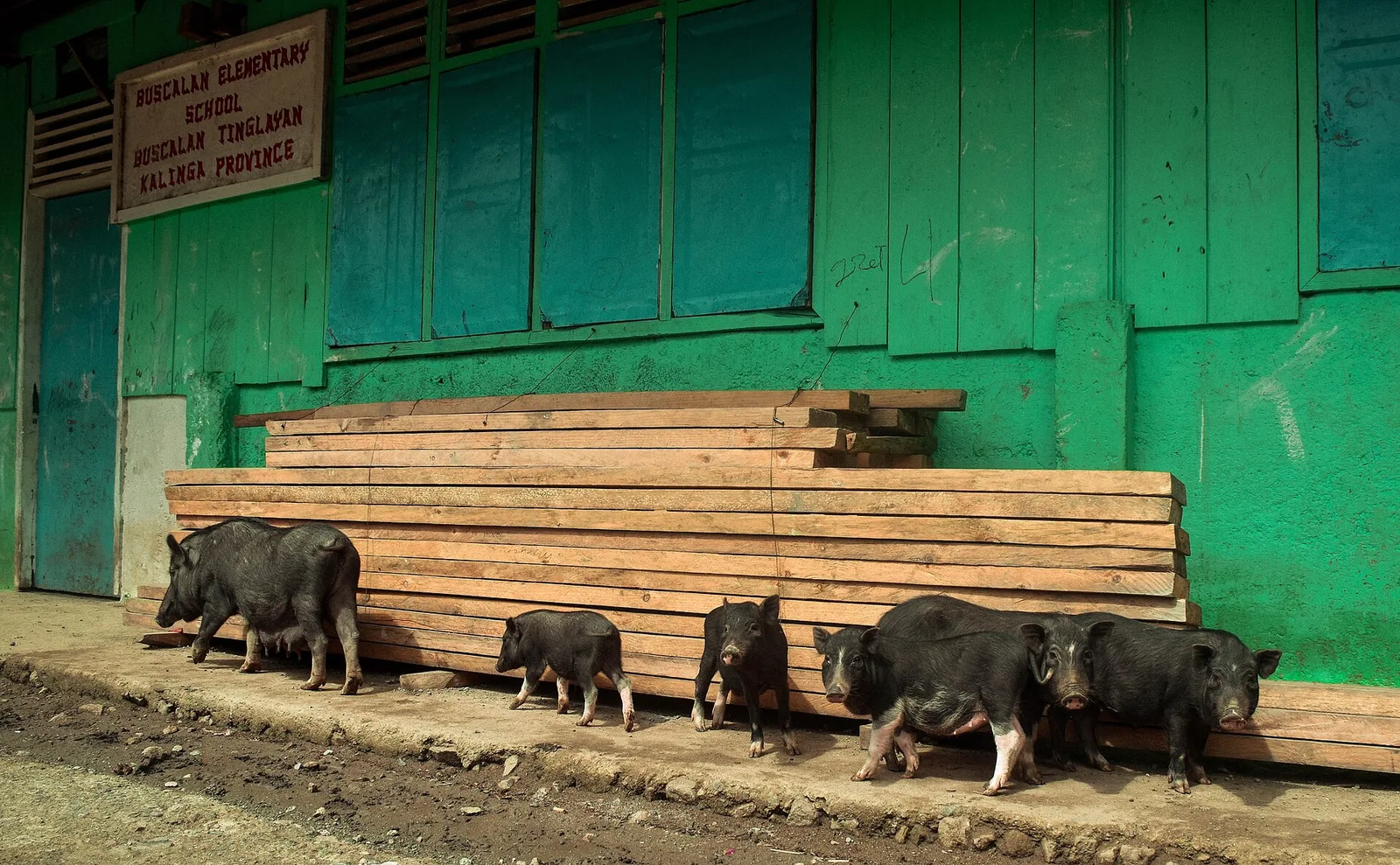
The village visitors go up to for a traditional tattoo. Whang-od lives here and is the last mambabatok, the local word for a traditional tattooist. People come to Barangay Buscalan, in Tinglayan, to meet her and to have the work …
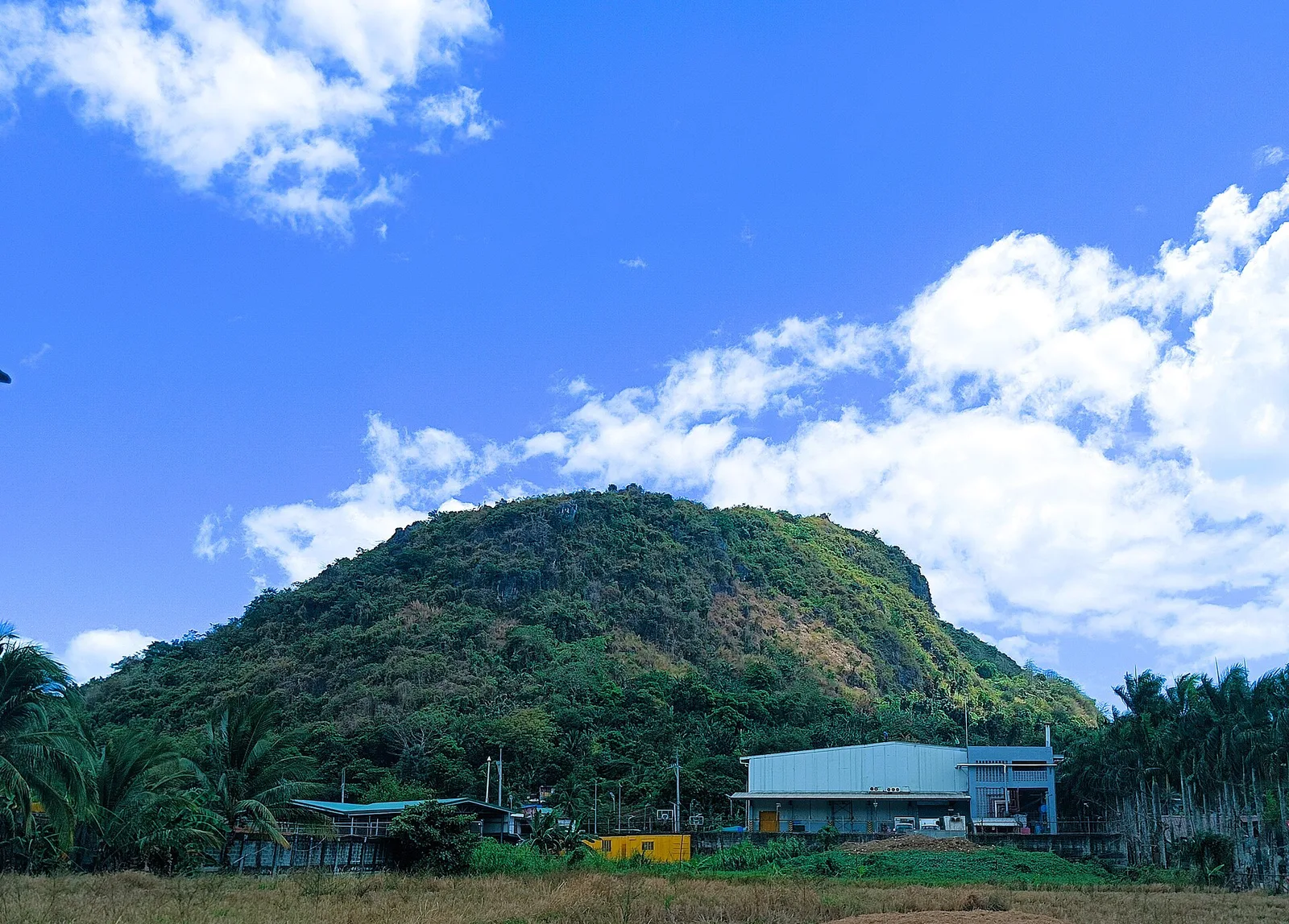
A limestone hill with a cross on its summit, known locally as Puting Bato, which means white rock. It is a popular spot for sunrise and sunset, and the top looks out over the other Antipolo hills. The limestone has …
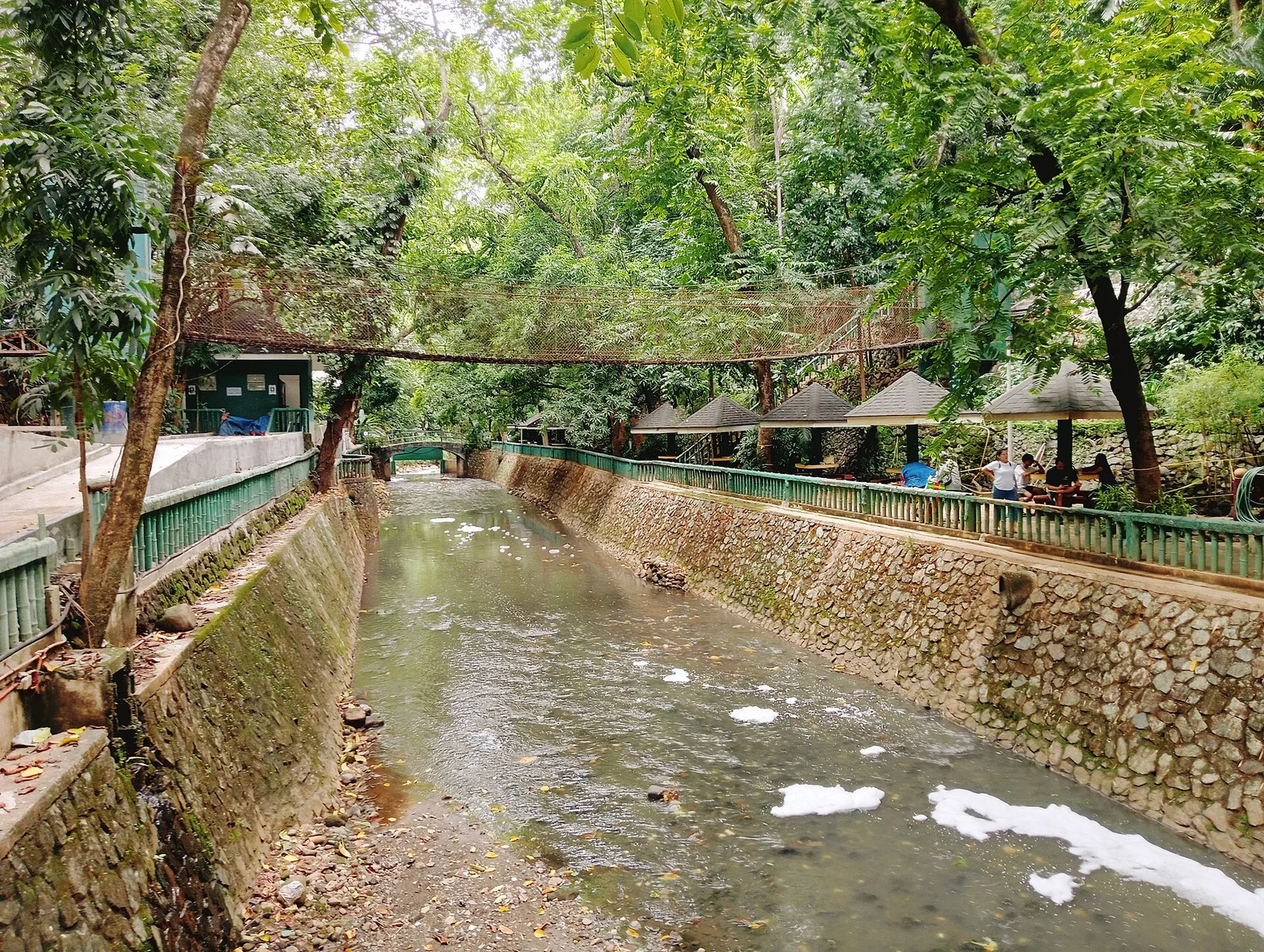
The city's waterfall, 21.5 metres high and 25.8 metres wide, set in a protected landscape of the same name. The name comes from a story of a church bell (taktak) that villagers threw (hinulog) into the falls because they found …
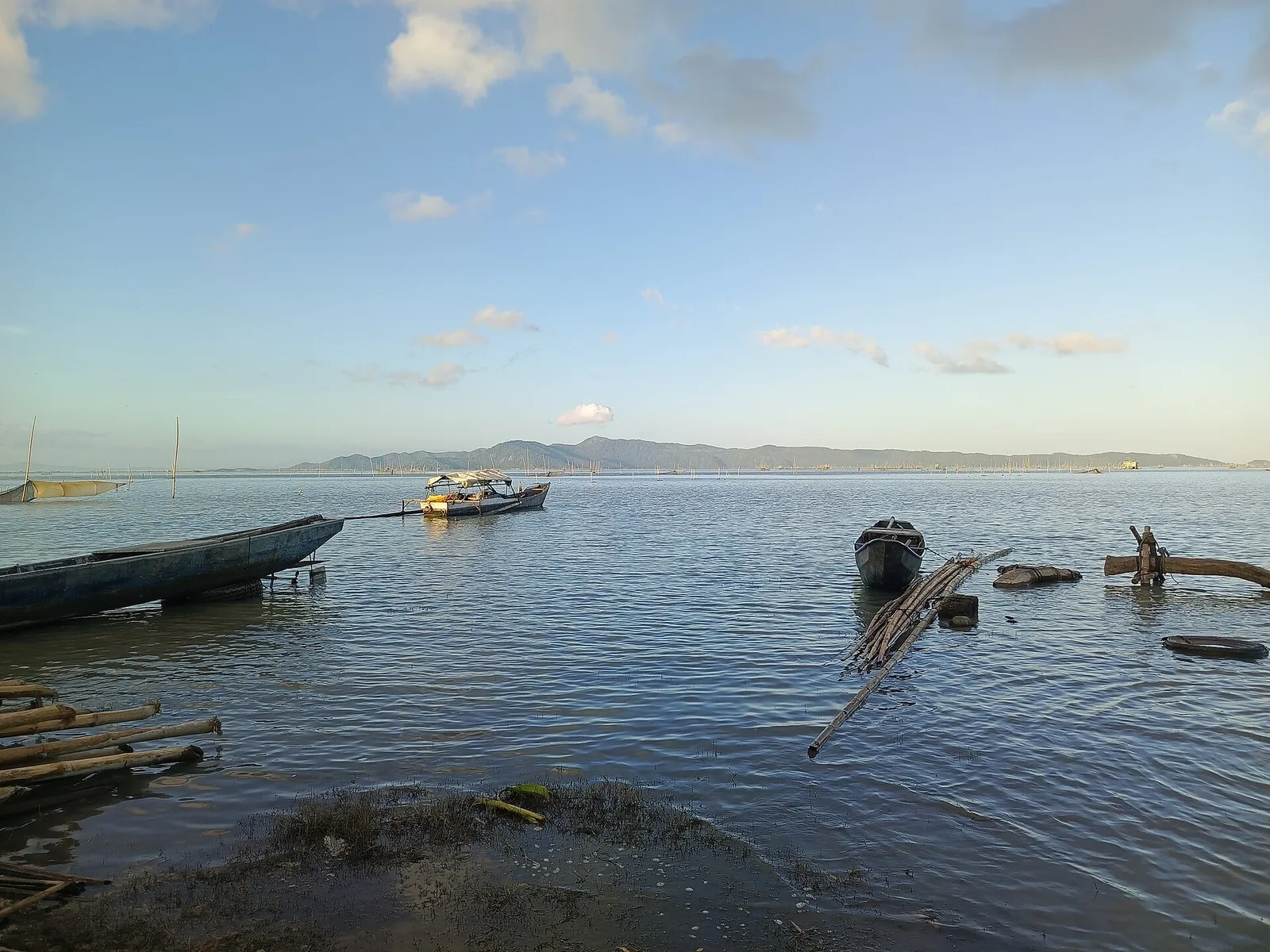
The largest lake island in Laguna de Bay, the largest lake in the country. The island is volcanic and forms the southwest rim of the Laguna Caldera. Volcanism after the caldera formed cut maars and craters into its southern end, …
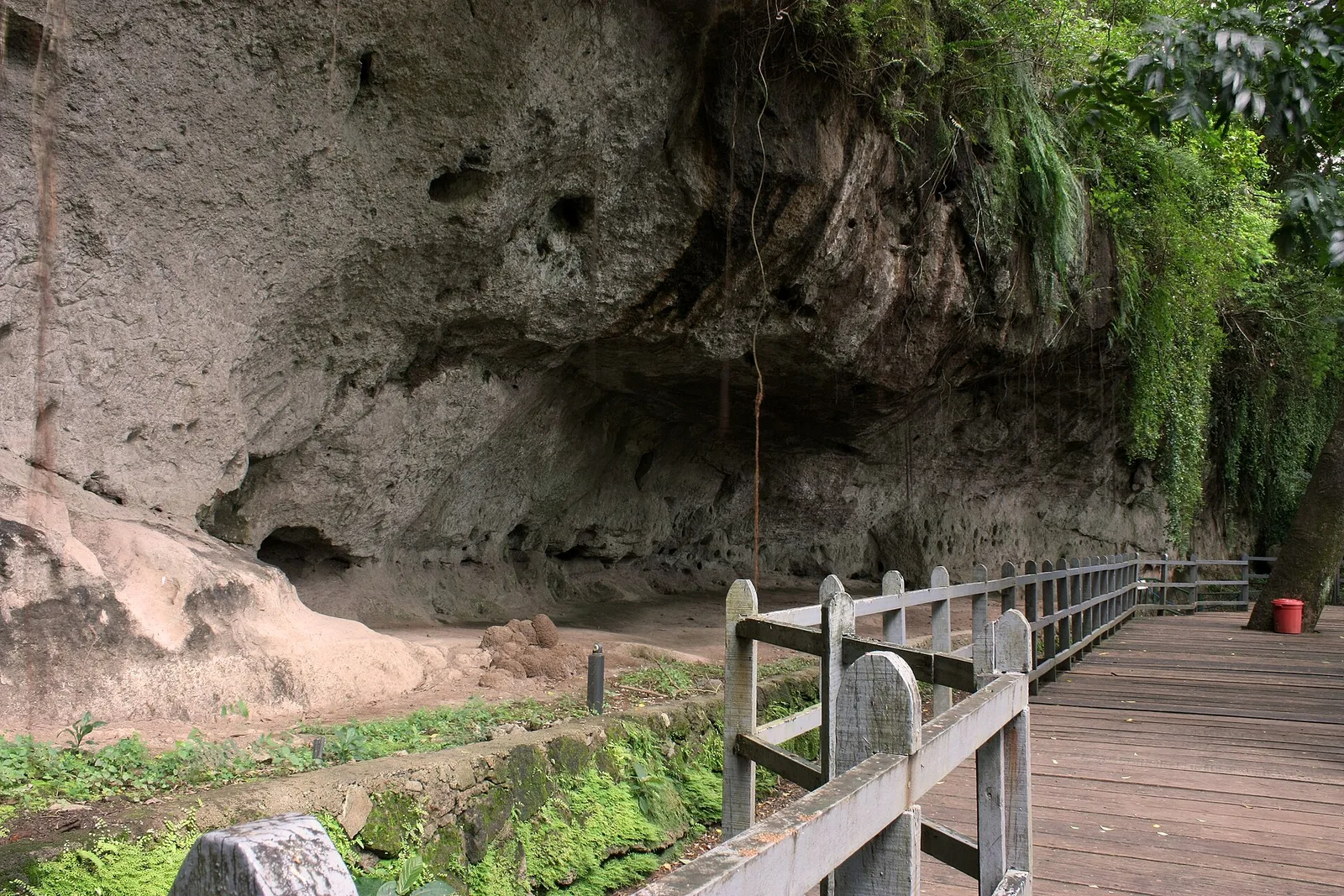
Carvings of 127 human and animal figures, cut into a rock wall on the boundary between Angono and Binangonan. They are the oldest known work of art in the country, probably carved in the Late Neolithic, before 2000 BC. The …
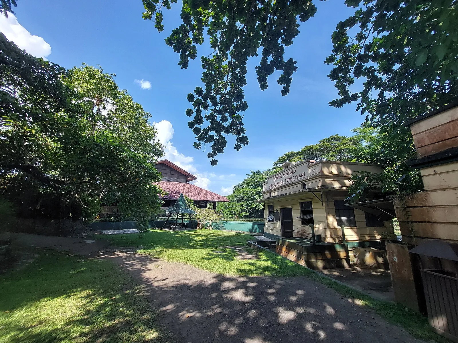
A working coconut plantation of 800 hectares that has taken guests since 1981. The estate runs village tours and a museum tour, and it serves meals and rents rooms. It lies in Tiaong, on the Quezon side of the provincial …
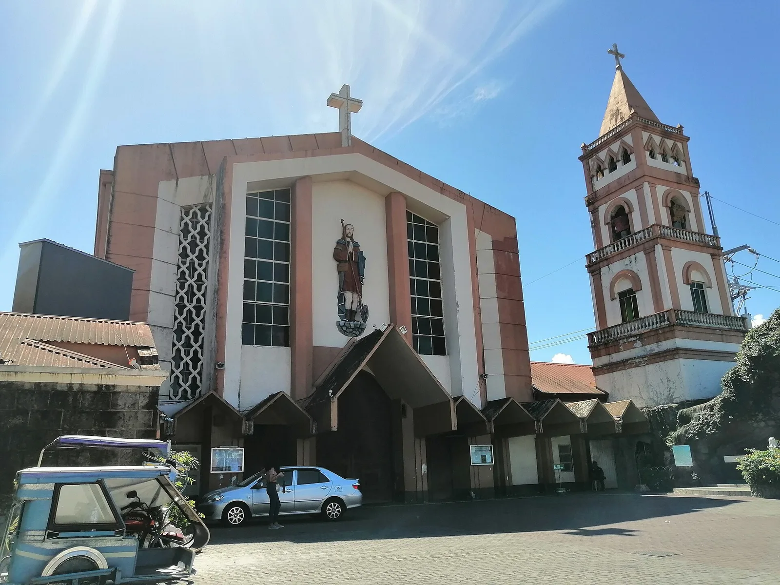
A parish church on the spot where the priests Alfonso de Alvarado and Diego Espinar raised a large wooden cross and said a thanksgiving Mass. Tradition holds that the people who gathered there were baptised, and that Biñan took its …
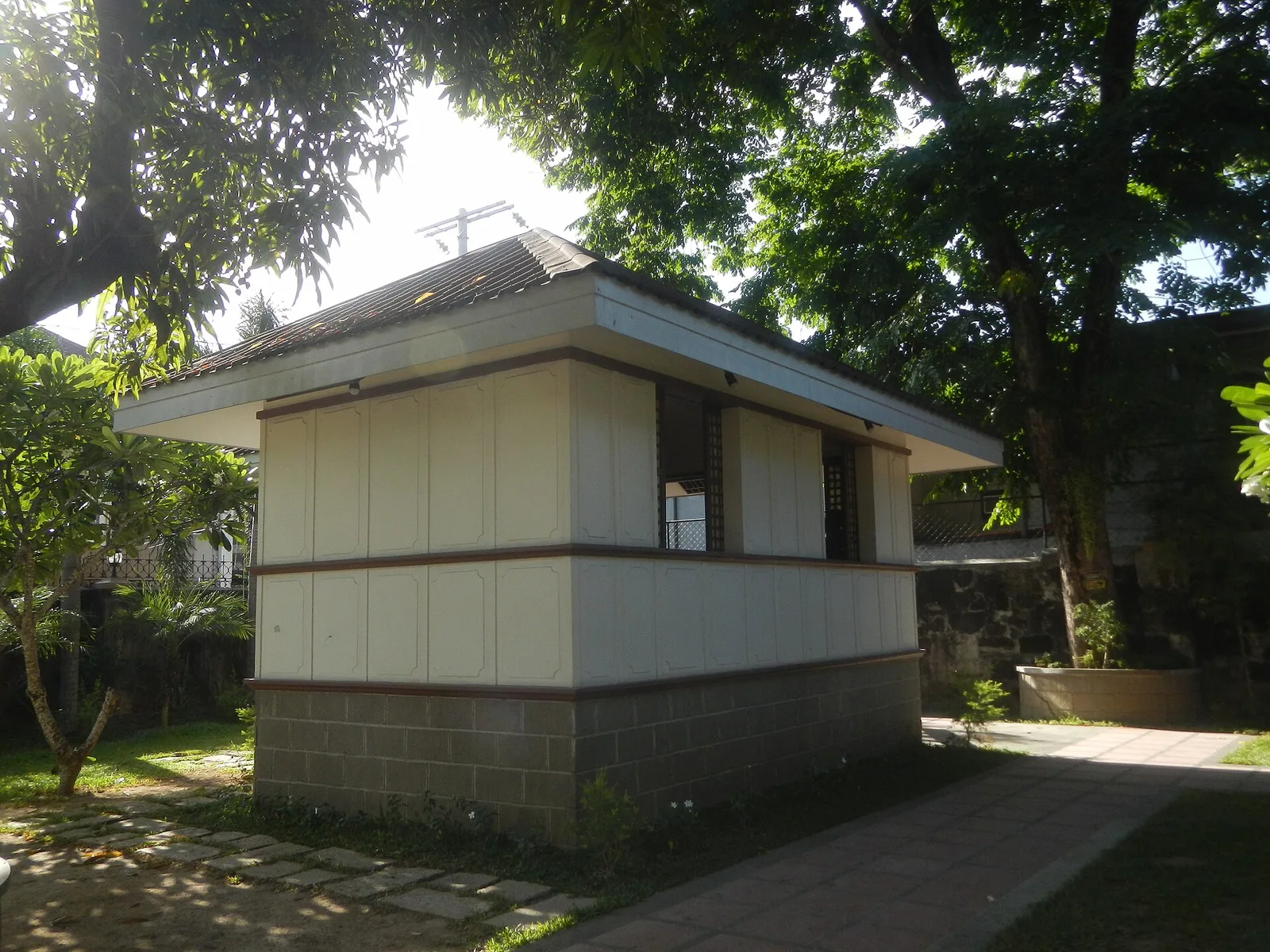
The schoolhouse where Jose Rizal had his first formal lessons, now a museum. Rizal came to Biñan as a child in June 1869 with his brother Paciano, and the two lodged at an aunt's house near the town proper. His …
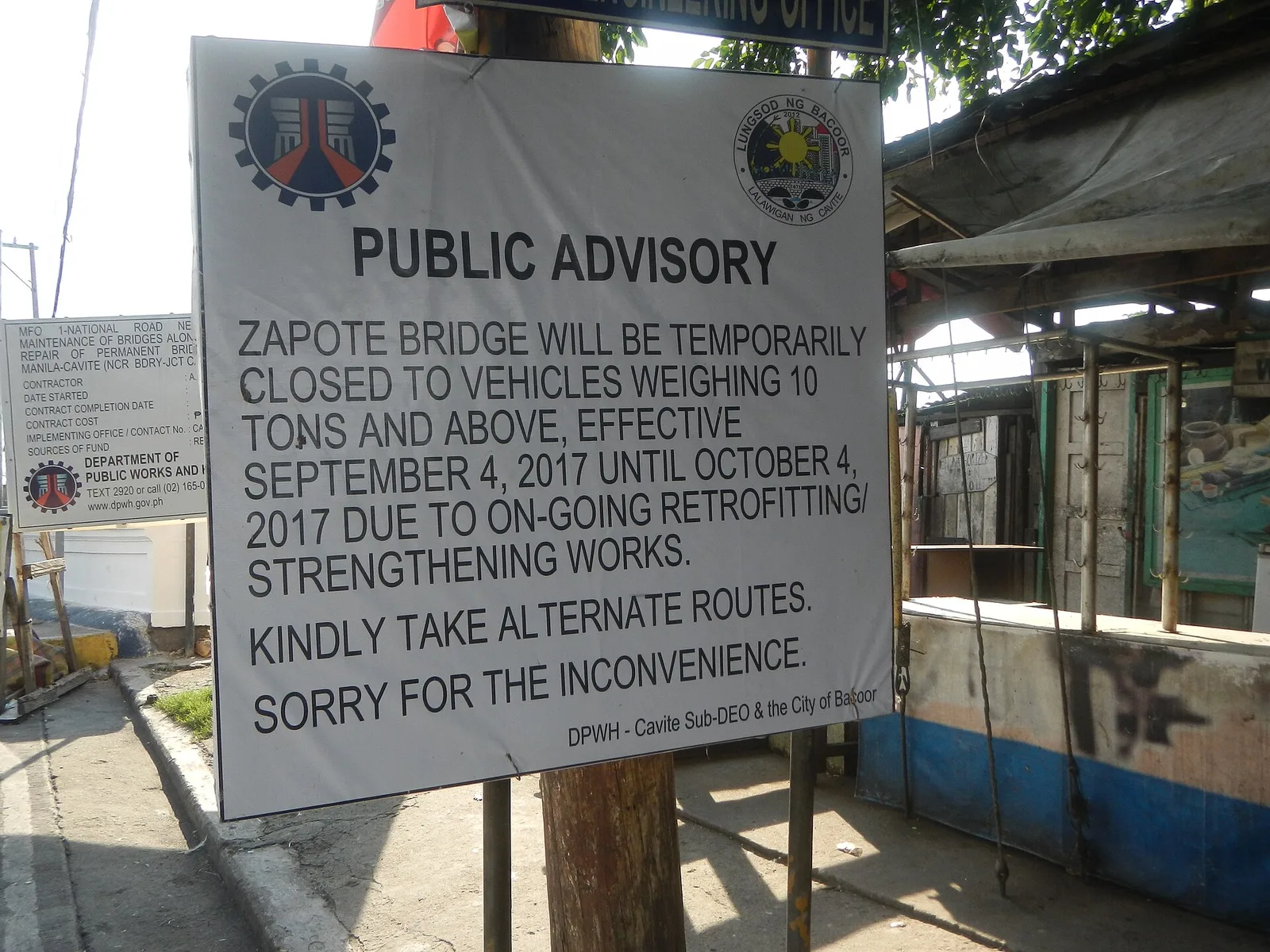
A stone arch footbridge over the Zapote River, on the line between Bacoor and Las Piñas in Metro Manila. Two battles were fought here: the Battle of Zapote Bridge in 1897, against the Spanish colonial government, and the Battle of …
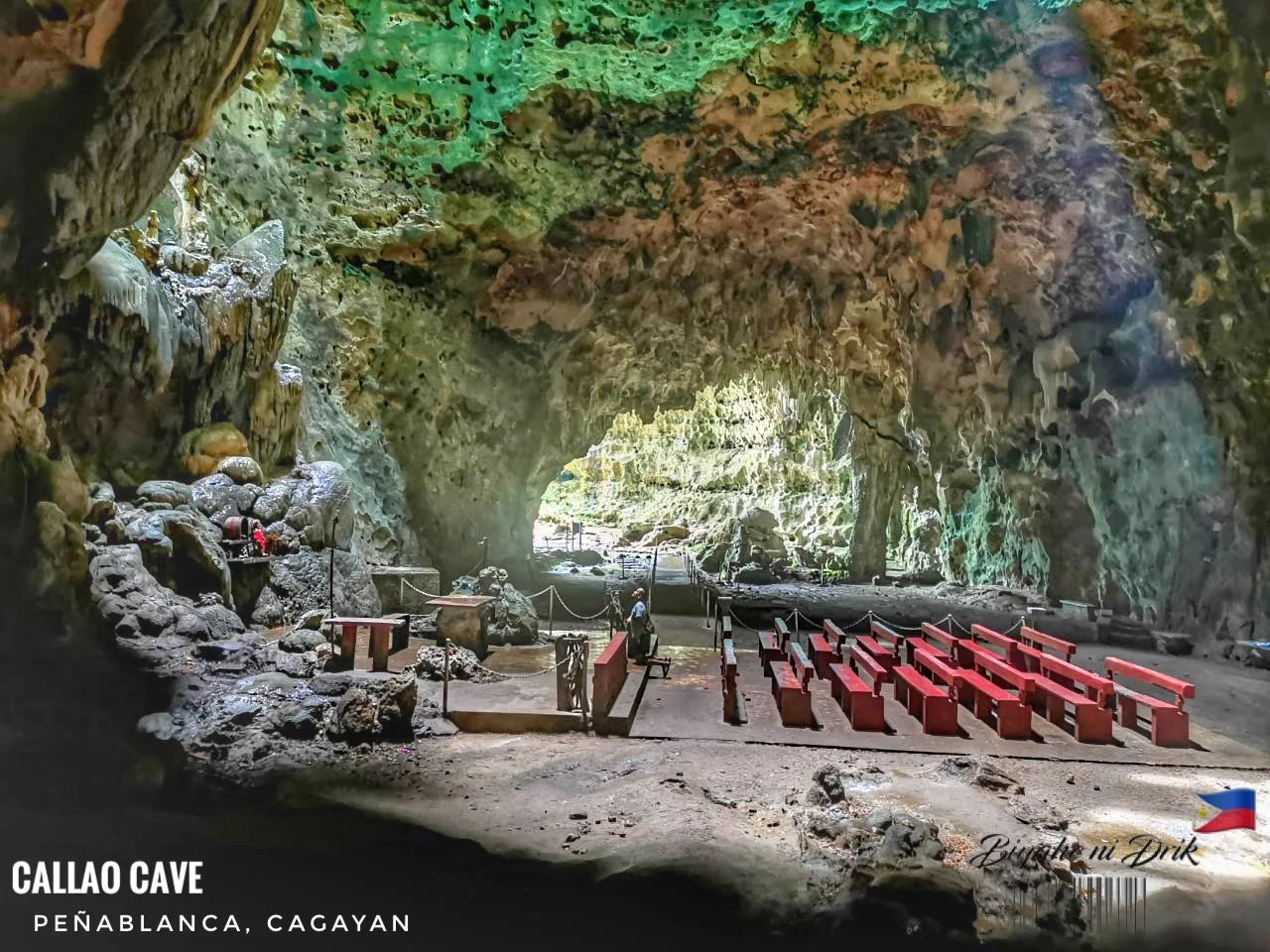
A limestone show cave of seven chambers, and the best known natural attraction in Cagayan. Bones found inside belong to Homo luzonensis, or Callao Man, an extinct human species confirmed in 2019 from Late Pleistocene fossils that a team led …
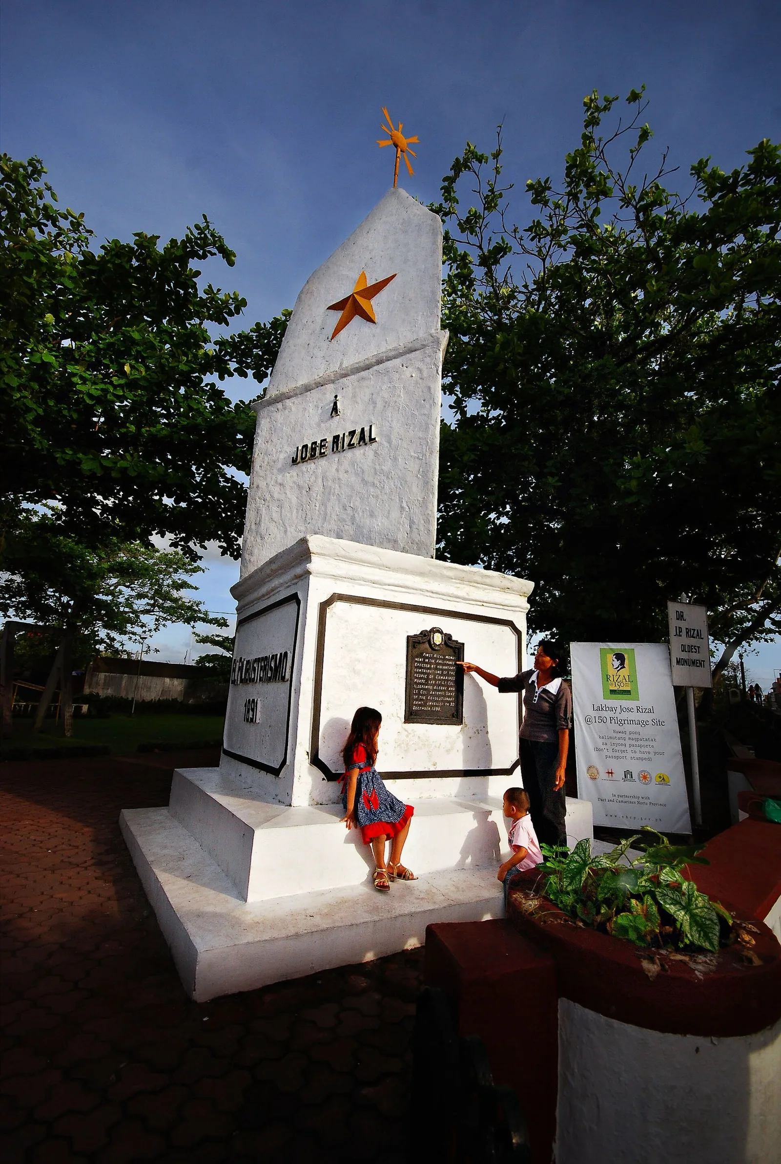
The first monument built to honour José Rizal, and the oldest one of its kind that survives in the country. It is a three-tiered stone pylon, a square base carrying a triangle in two stages. Lieutenant Colonel Antonio Sanz designed …
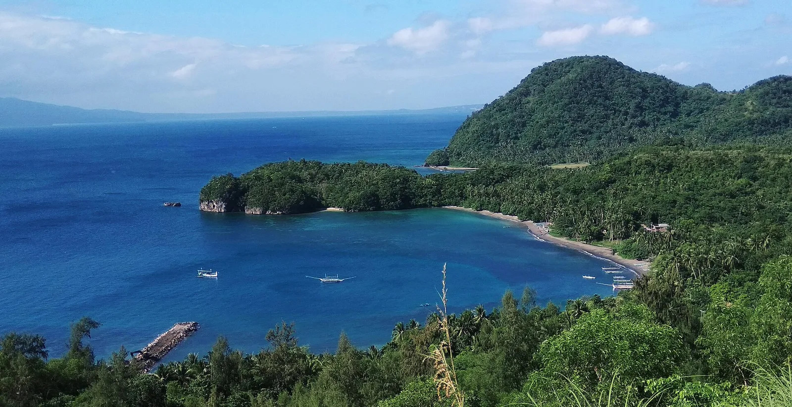
An island between San Miguel and Batan islands, known for eco-tourism and for Mataas cave, one of only two caves in Albay that are open to the public. Misibis Bay, a luxury resort, is on the island as well. Most …
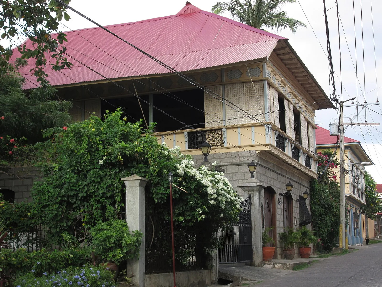
Ancestral houses kept as museums, including the home of Marcela Agoncillo, who sewed the first Philippine flag. Her grandfather built that house, one of the oldest in Taal, and her husband Felipe Agoncillo lived there after their marriage in 1889. …
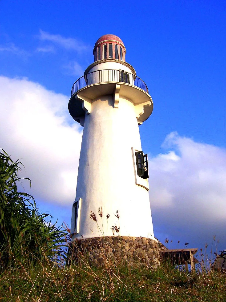
A six-storey lighthouse on Naidi Hill in Barangay San Antonio, with a deck over Basco and the open sea. You reach it on foot: the hike up from the Port of Basco is 1.2 kilometres. The deck is on the …
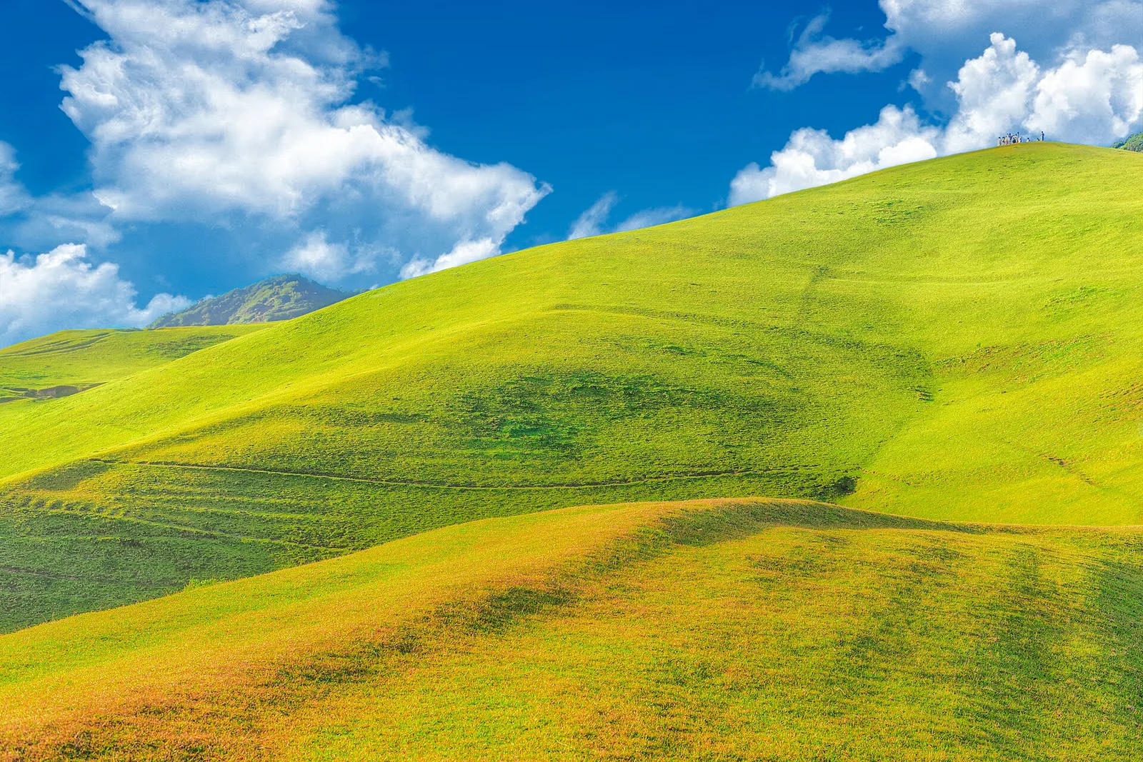
Open pasture on a headland above the sea, with cattle grazing and a view to Mount Iraya. It is also called Racuh a Payaman.