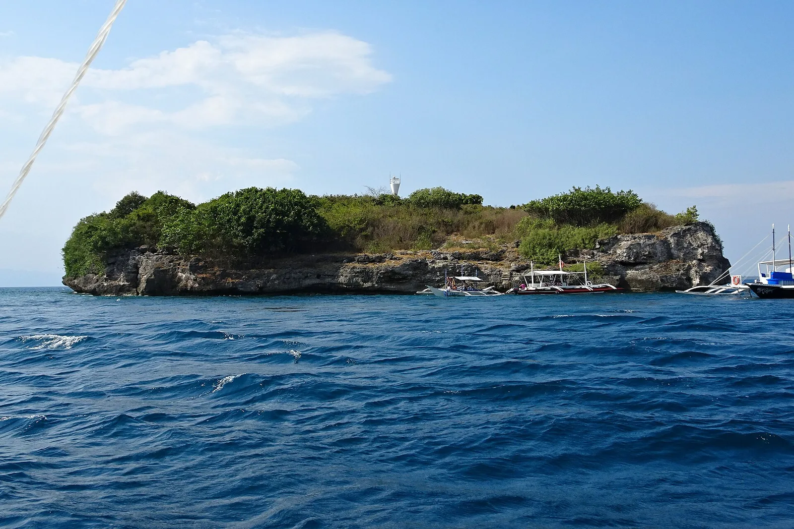
Pescador Island
A dive site on a small limestone island in the Tañon Strait, a few kilometres off the west coast of Cebu. The reef starts as a sandy slope with soft coral at 5 to 10 metres, then falls away as …
Showing 1291 to 1320 of 1,893
A dive site on a small limestone island in the Tañon Strait, a few kilometres off the west coast of Cebu. The reef starts as a sandy slope with soft coral at 5 to 10 metres, then falls away as …
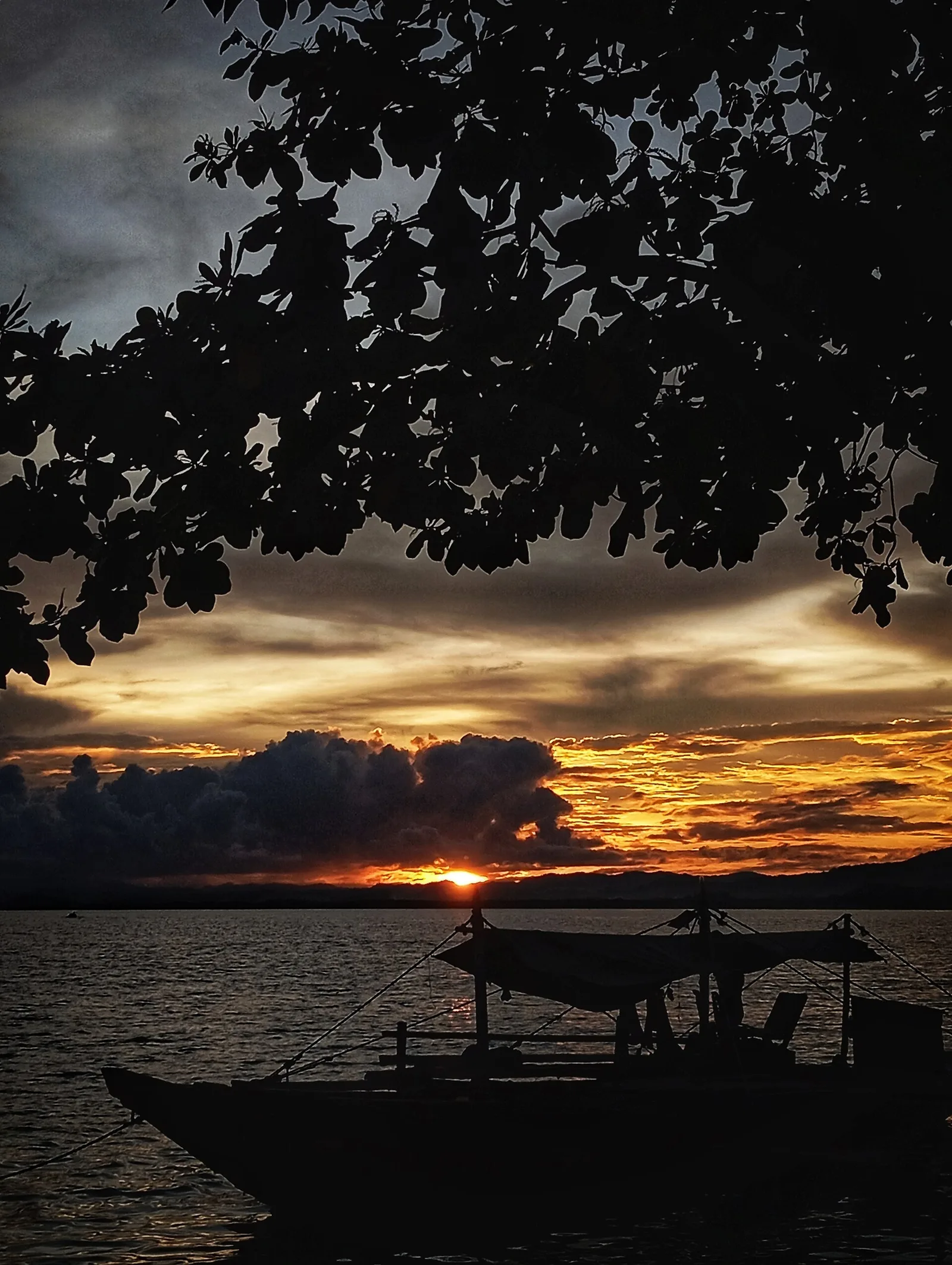
An island with white sand beaches off Ipil, the capital and largest town of the province.
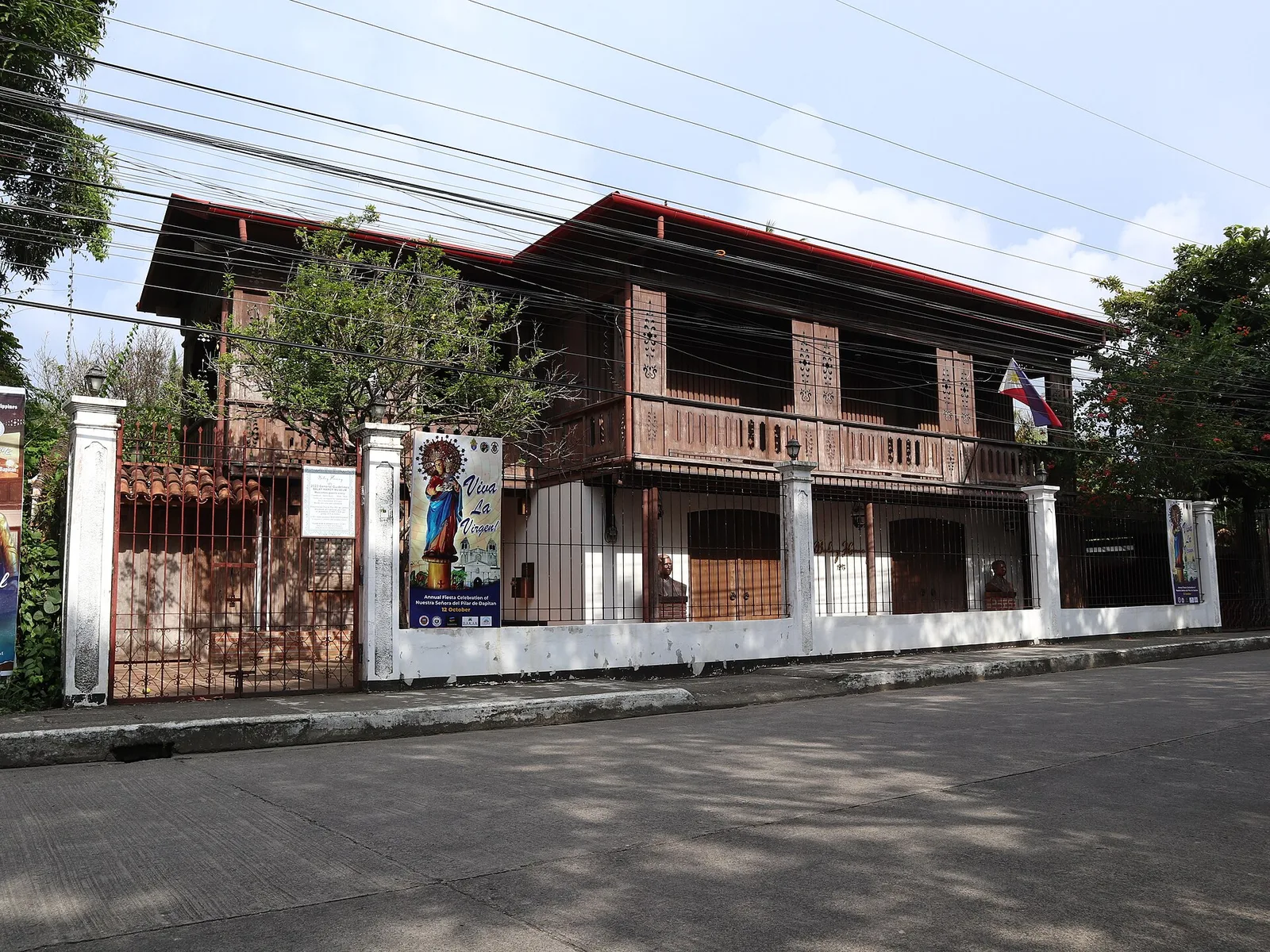
An ancestral house in Dapitan that now works as a heritage museum, known as the Balay Hamoy Museum. The display covers the exile of Jose Rizal in the town, from 1892 to 1896. Mariano Hamoy built the house in 1893. …
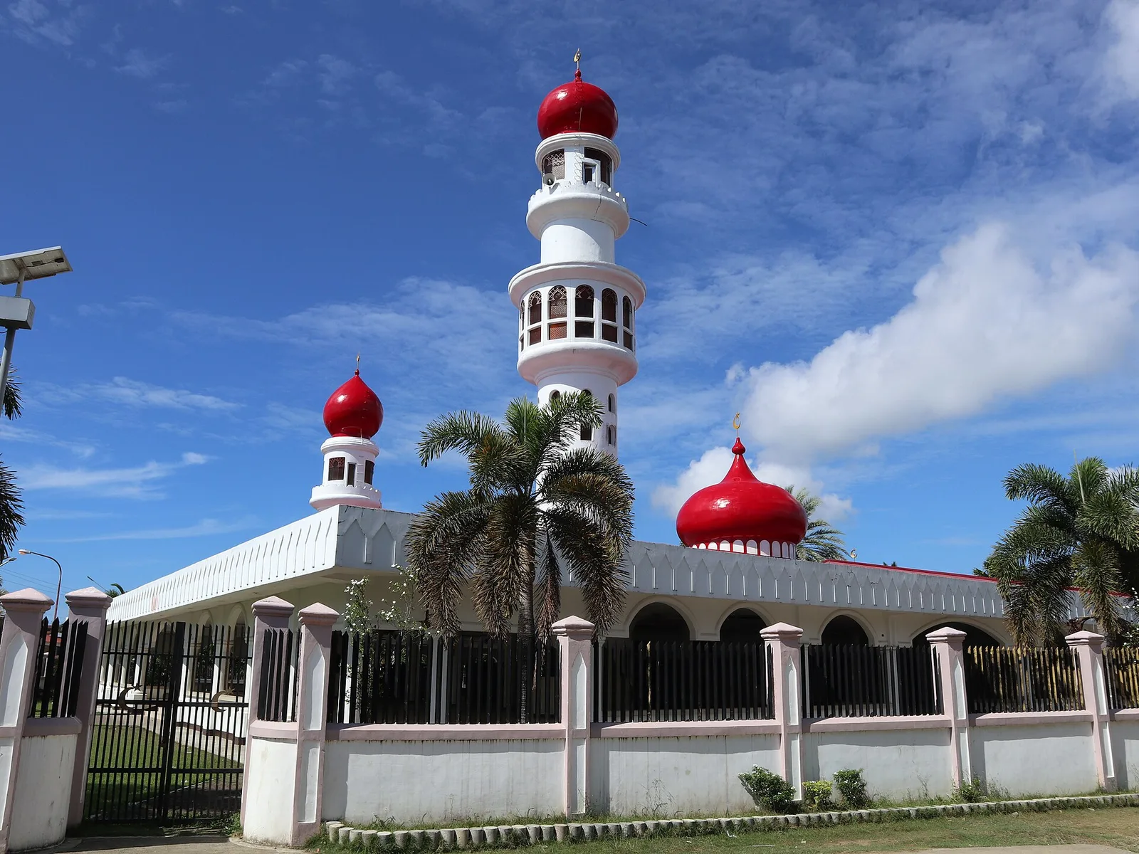
The oldest mosque in the Zamboanga Peninsula, built by Hadji Abdullah Maas Nuno in 1885. In Tausug it is the Masjid sin Taluksangay. The village of Taluksangay around it was the first centre of Islamic teaching in the peninsula, and …
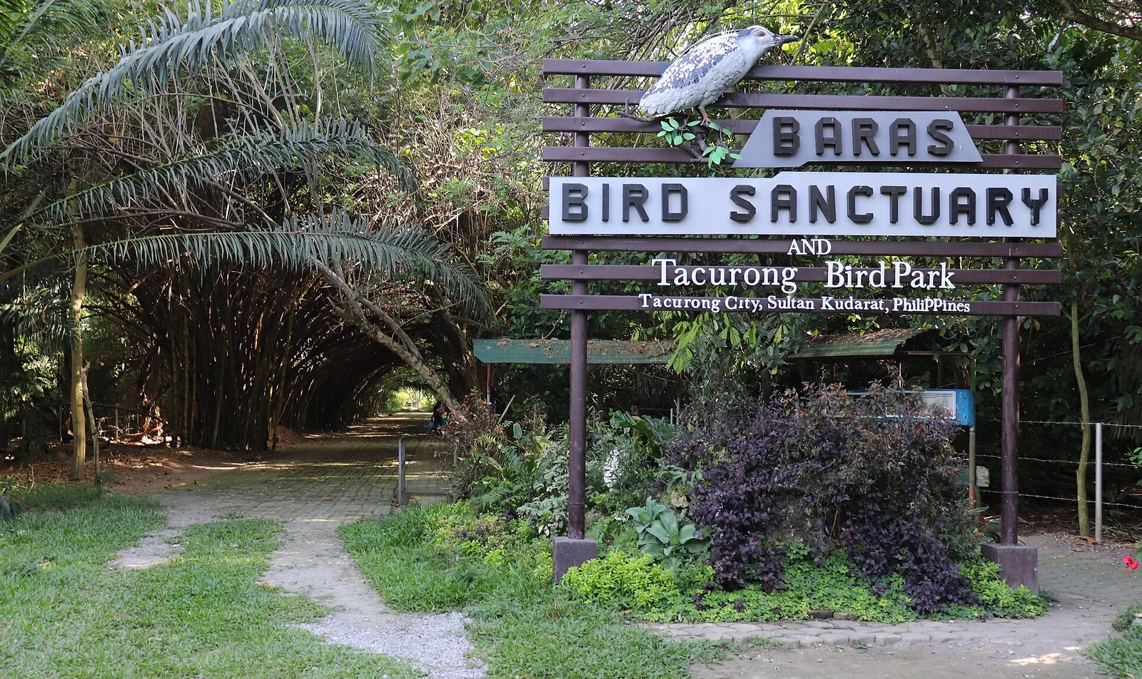
A 2.5 hectare sanctuary where egrets and herons nest. The city holds the Sultan Kudarat Bird Festival there, and the eighth one ran on 10 and 11 May 2024.
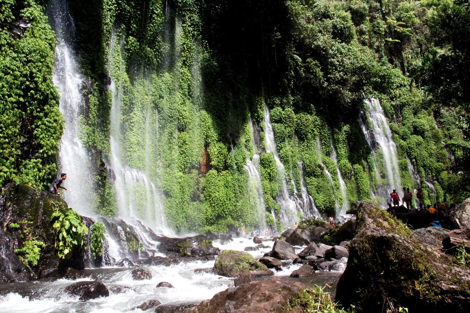
A waterfall with no river above it: the water comes out of crevices in a cliff 60 metres high, and the source is thought to be an underground river. Ferns and moss cover most of the rock. The pool at …
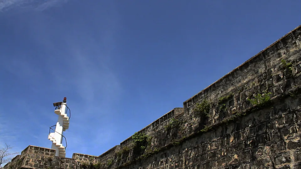
A stone fort from 1756, built by Father José Ducos to hold the coast against pirates who carried people off as slaves, and known locally as the Cotta. It is square, with four bastions and one side facing Panguil Bay, …
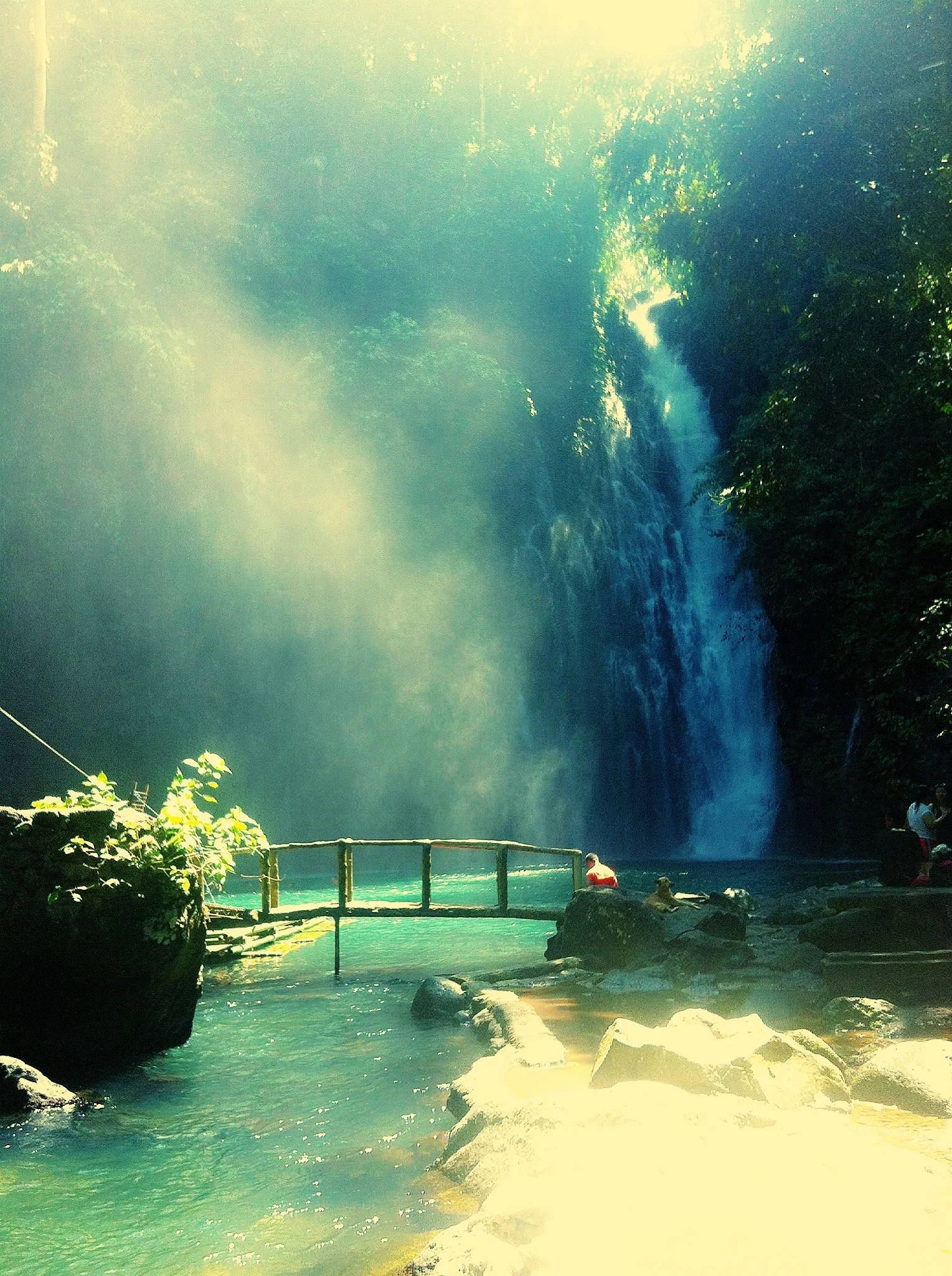
The main tourist attraction of the province: a waterfall on the Agus River at the village of Robocon, and one of the two outlets of Lake Lanao. Tinago means hidden, and the falls stand hidden in a deep ravine. The …
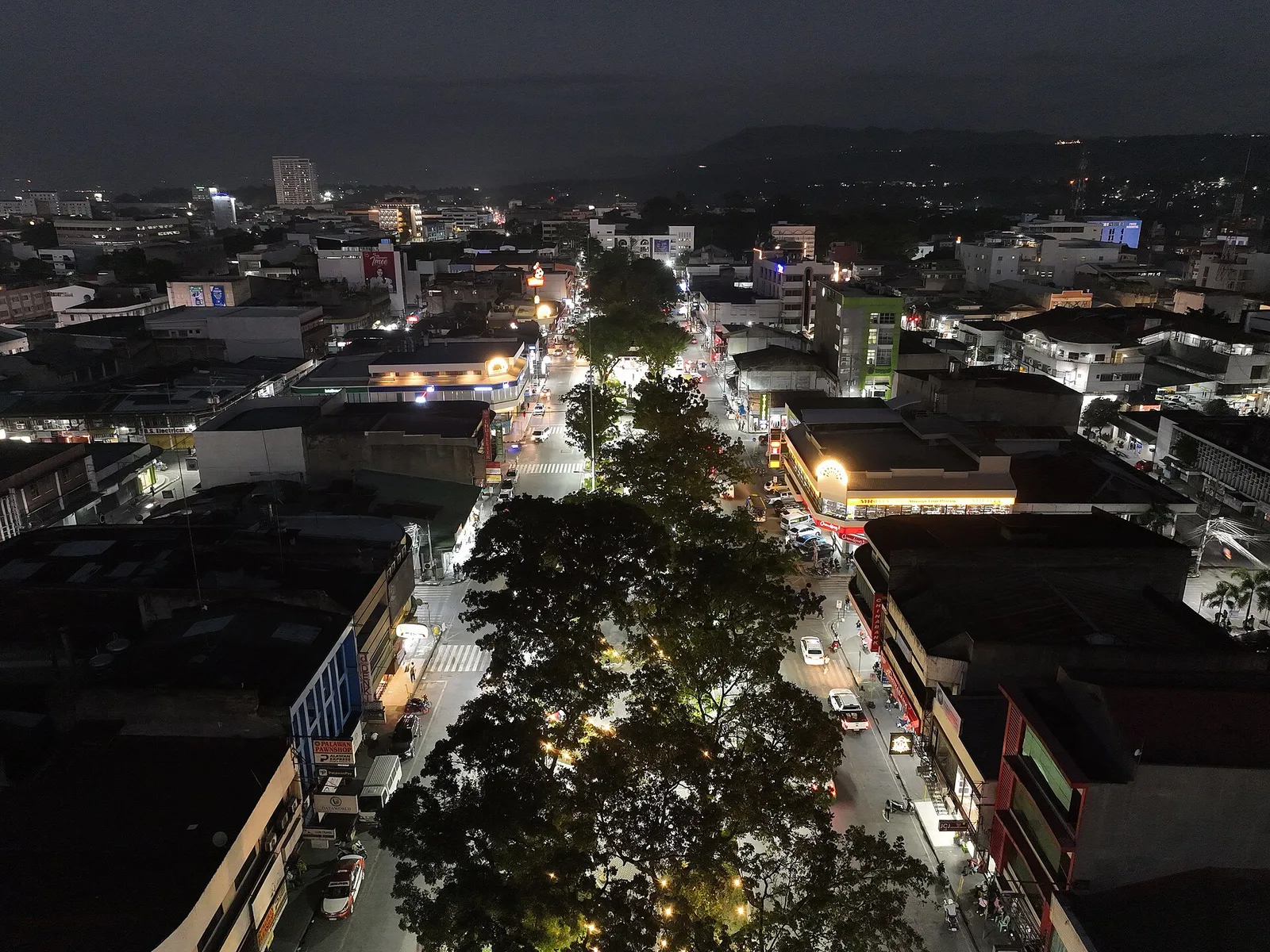
The city's central park, also called the Golden Friendship Park: six island sections of trees and benches between two tree-lined streets, by the Cagayan River. It began in the town centre in the early 20th century as a fire break …
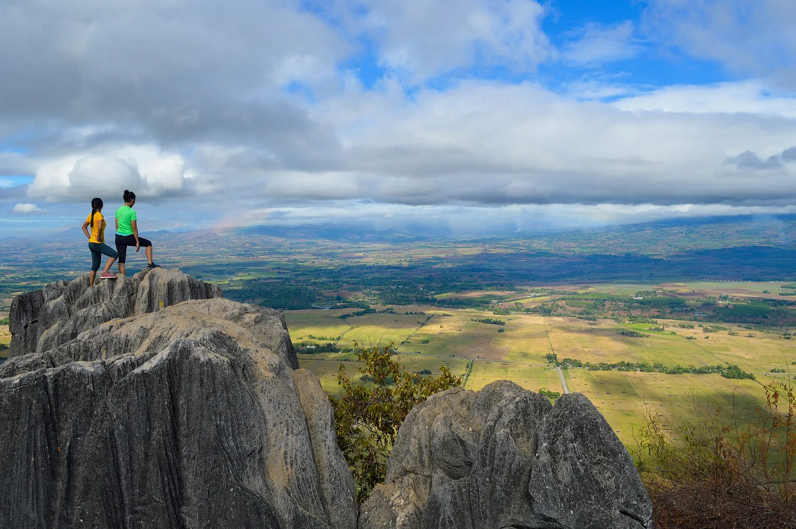
A mountain of rock formations and caves, 18 kilometres south of the city proper in Barangay Managok. It is known as an evacuation area in the Second World War. Trekkers and climbers go up for the view from the top, …
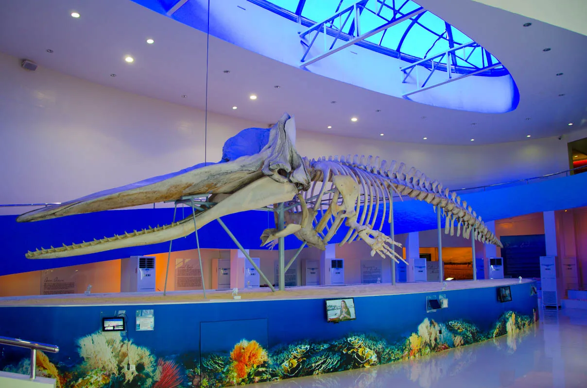
The provincial museum of Davao Oriental, with exhibits about the province. Its full name is the Subangan Davao Oriental Provincial Museum. The centrepiece is Davor, the skeleton of a sperm whale 16.15 metres long that beached in Governor Generoso. It …
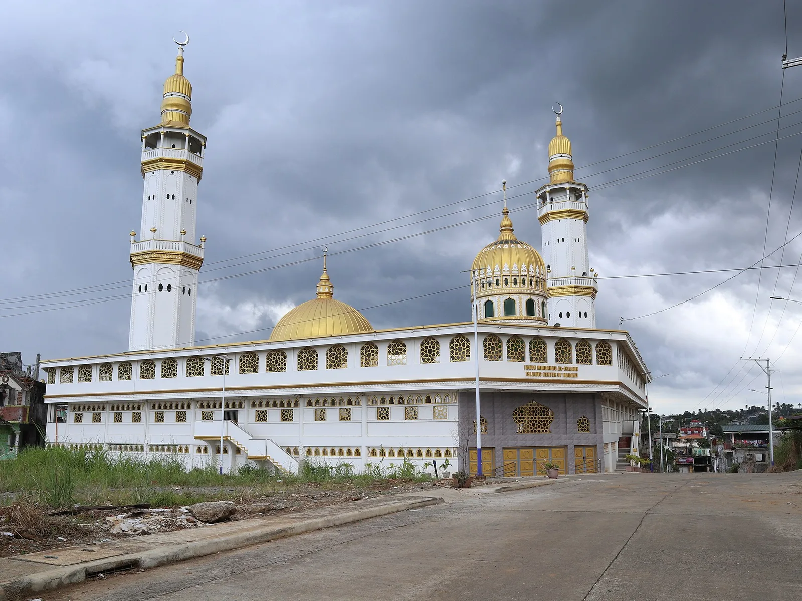
The city's grand mosque, also called the Islamic Center of Marawi, and the biggest Islamic place of worship in the country: it holds 20,000 worshippers. It stands in Pangarungan Village. The site's landowner, Datu Pangarungan Disalongan, led the first phase …
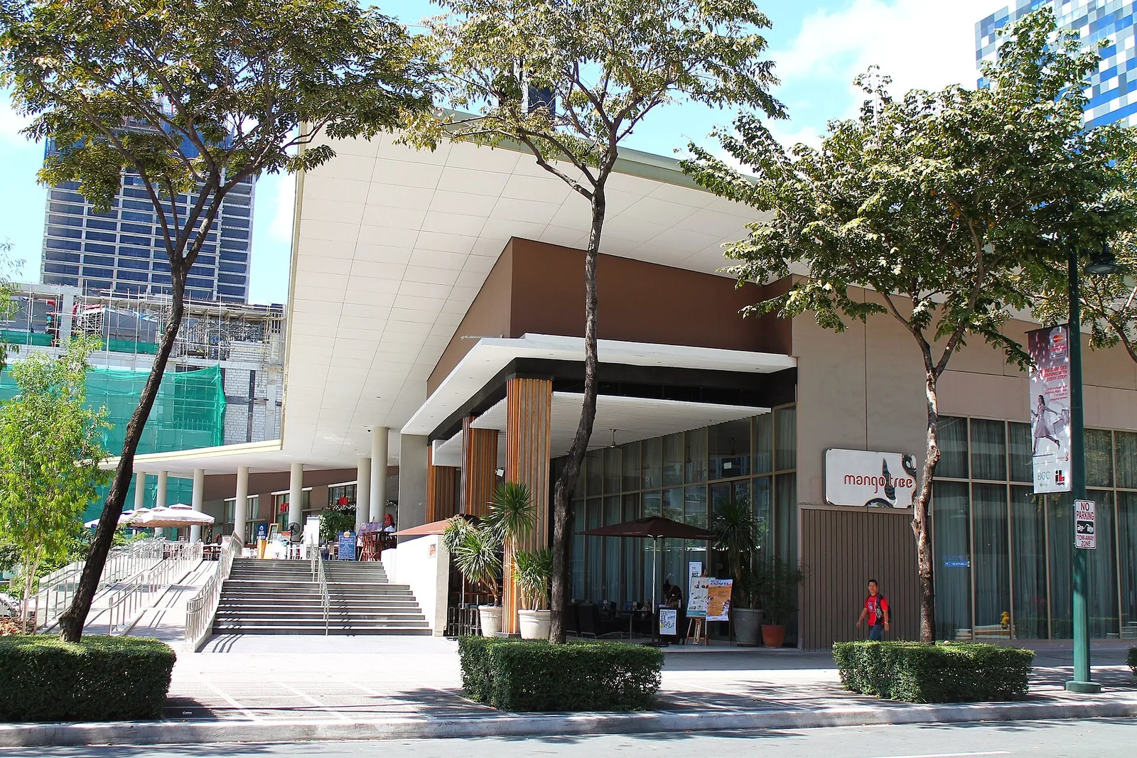
A science museum with more than 250 exhibits, on a lot of 1.2 hectares in J. Y. Campos Park in Bonifacio Global City. It opened on March 16, 2012, and the Bonifacio Art Foundation built it. Five galleries fill 4,900 …
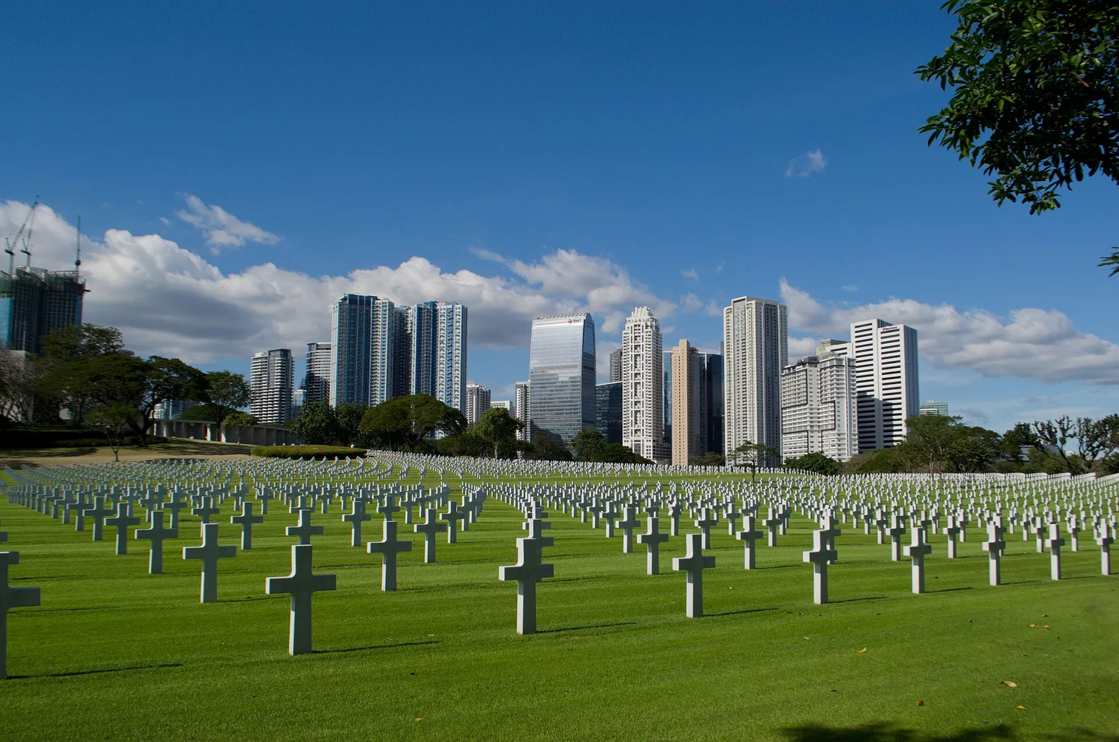
A military cemetery for the United States personnel killed in the Philippines in the Second World War, and for the dead of other allied nations. The American Battle Monuments Commission manages it. It sits at the northeast end of Lawton …
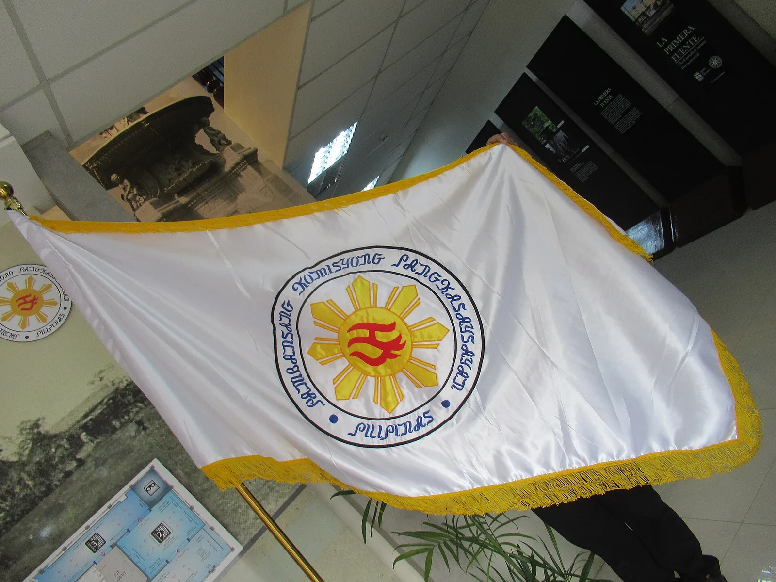
A museum built around El Deposito, an underground water reservoir that the Spanish authorities finished in 1882 to supply Manila and the towns around it. The reservoir held 15 million gallons and was part of the Carriedo water system, which …
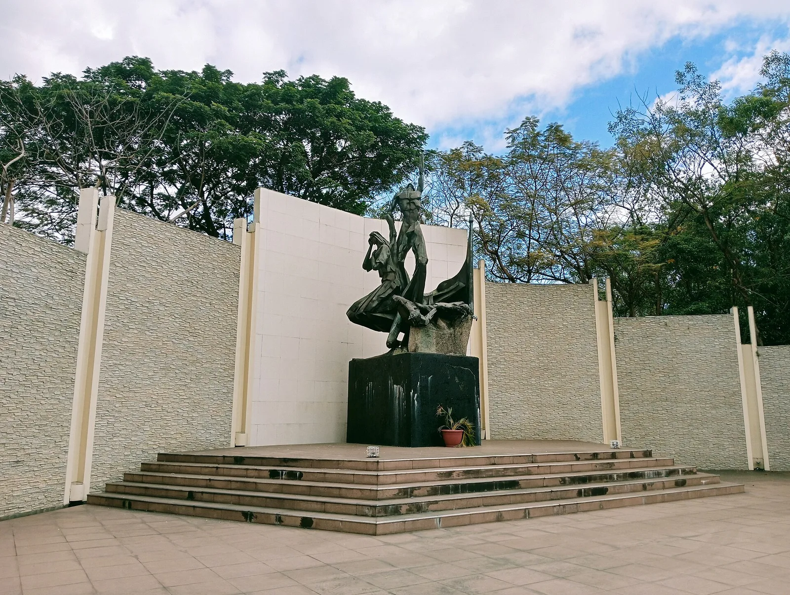
A national shrine and park on Pinaglabanan Street, for the Katipuneros who laid siege to the Almacen de Polvorin, a Spanish colonial armoury. That fight was the first battle of the Philippine Revolution against Spain. The park went up in …
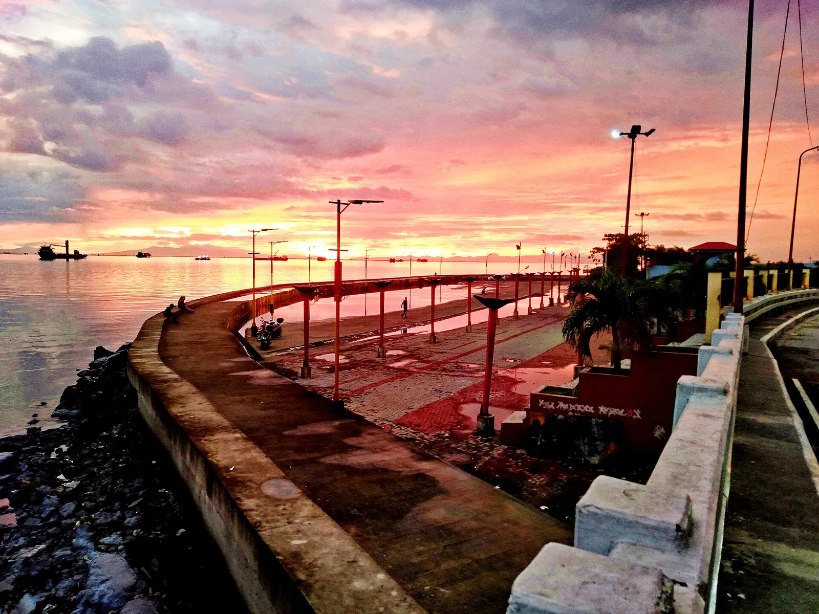
A waterfront park facing Manila Bay, the largest open space in the city and the northern answer to the Baywalk. People jog, stroll and skate along it, between the R-10 Bridge and the Navotas Bus Terminal, past bleachers, lamp posts …
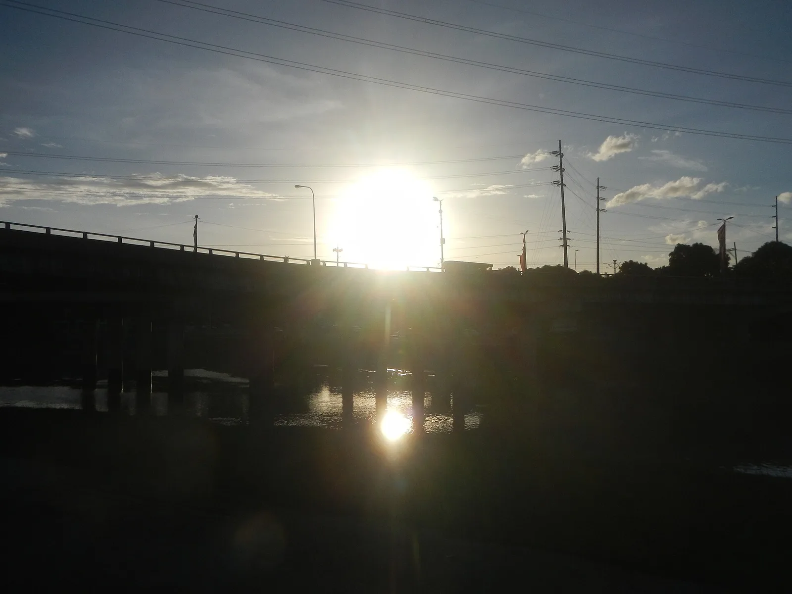
A chain of parks, trails and sports grounds along an 11-kilometre stretch of the Marikina River, 220 hectares in all. It runs through seven villages on the west side of the city and holds the Riverbanks Center, a mall and …
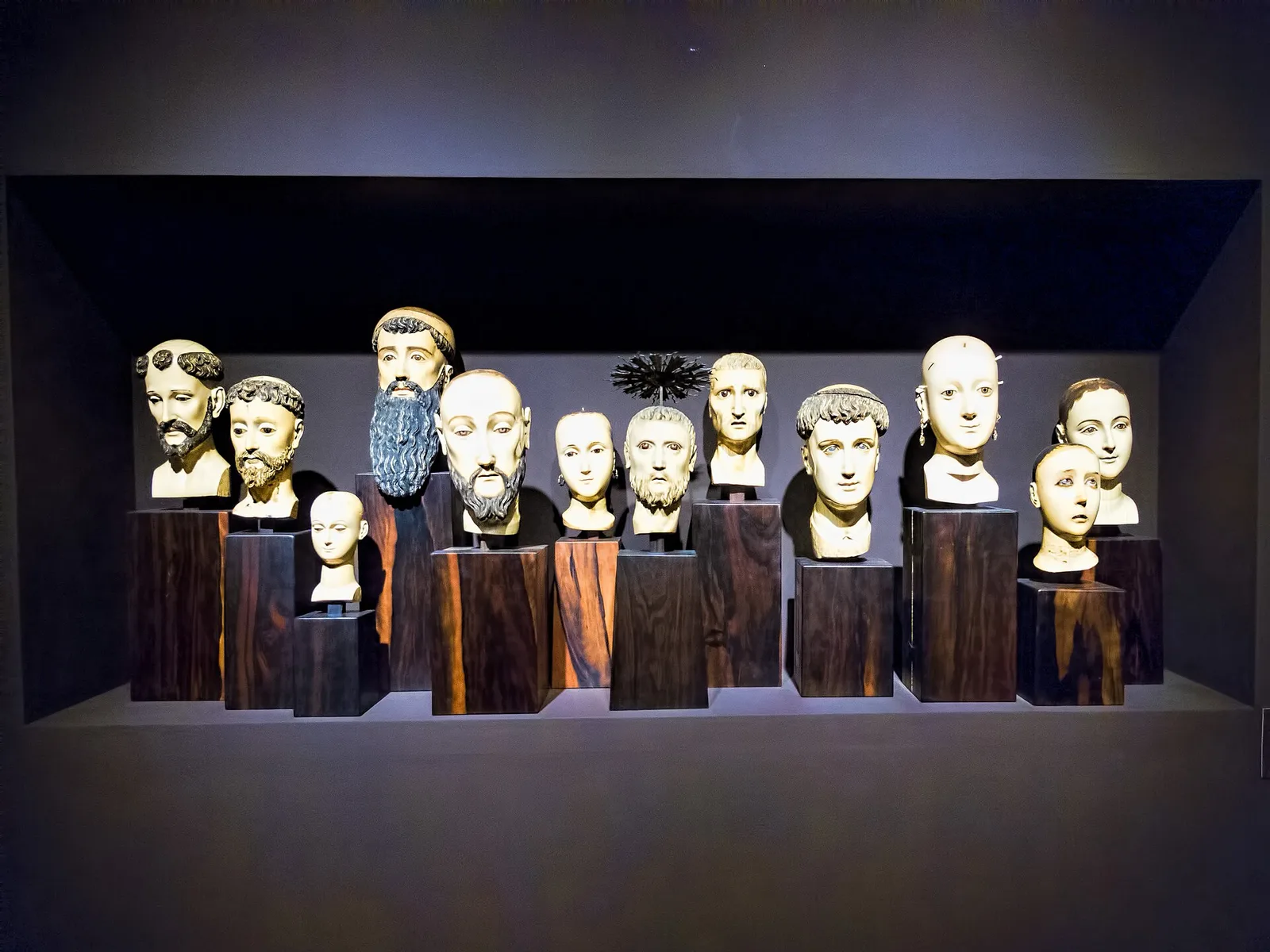
A private museum of fine arts and history, best known for Gold of Ancestors, a display of more than one thousand gold objects made before the Spanish came. The Ayala Foundation runs it, and the rest of the collection covers …
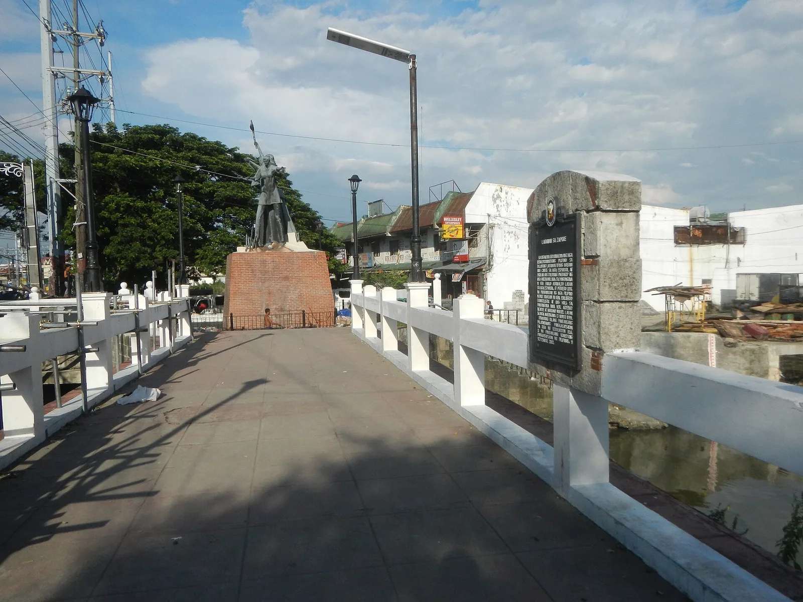
A stone arch footbridge over the Zapote River, on the line between Las Piñas and Bacoor in Cavite. Two battles were fought here: the Battle of Zapote Bridge in 1897, between Filipino revolutionaries and the Spanish colonial government, and the …
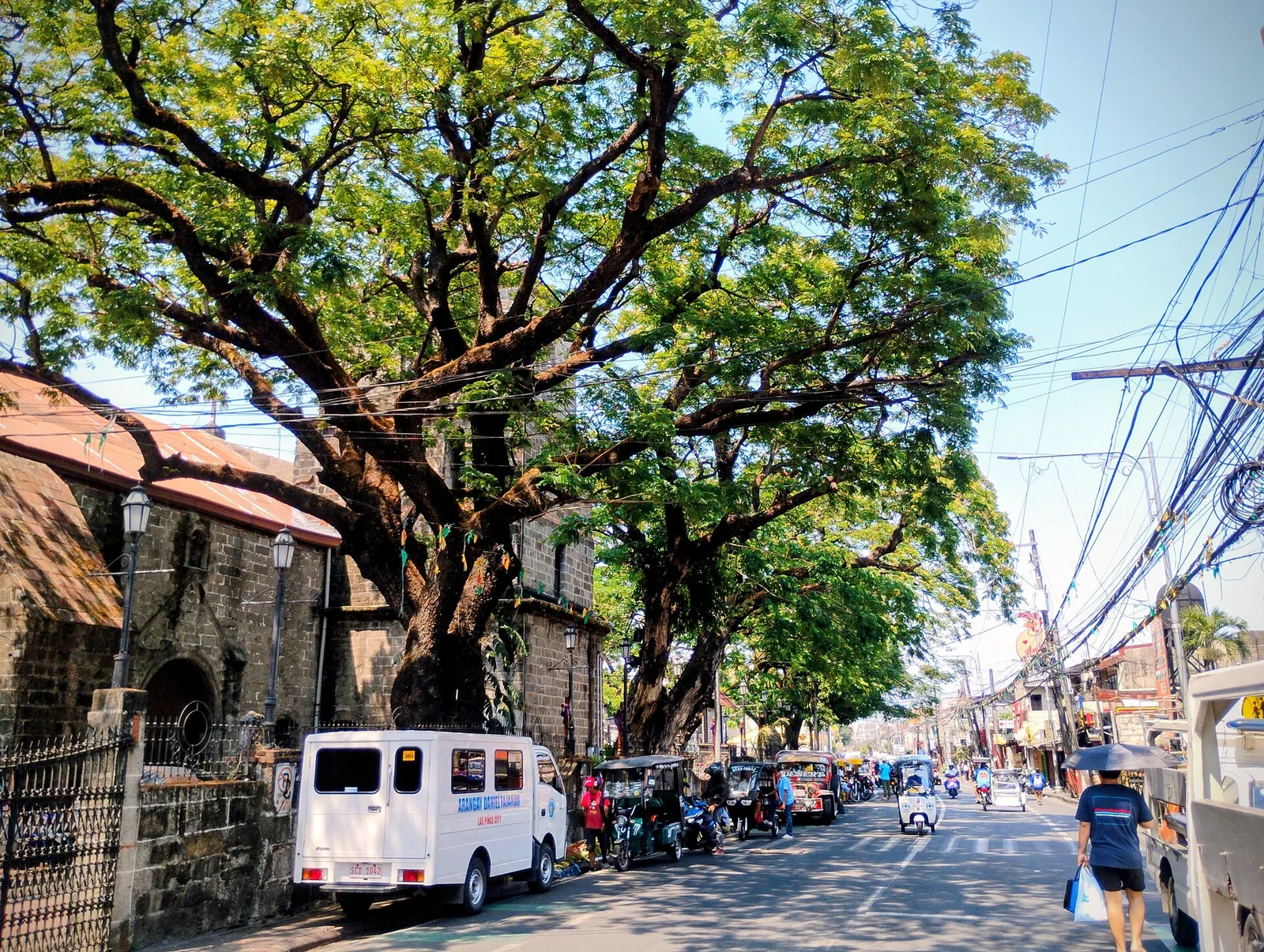
The old main road of the city and the spine of its historical corridor, with the Las Piñas Church, the Gabaldon Hall and the old district hospital along it. The road marks where the shore of Manila Bay ran in …
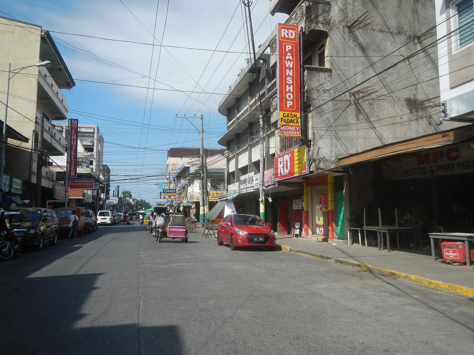
The street to eat on in Dagupan, and the centre for the local cooking. Pigar-pigar and kaleskes both started in this city, along with Bonuan boneless bangus. Dagupan calls itself the Bangus Capital of the Philippines and the Kitchen of …
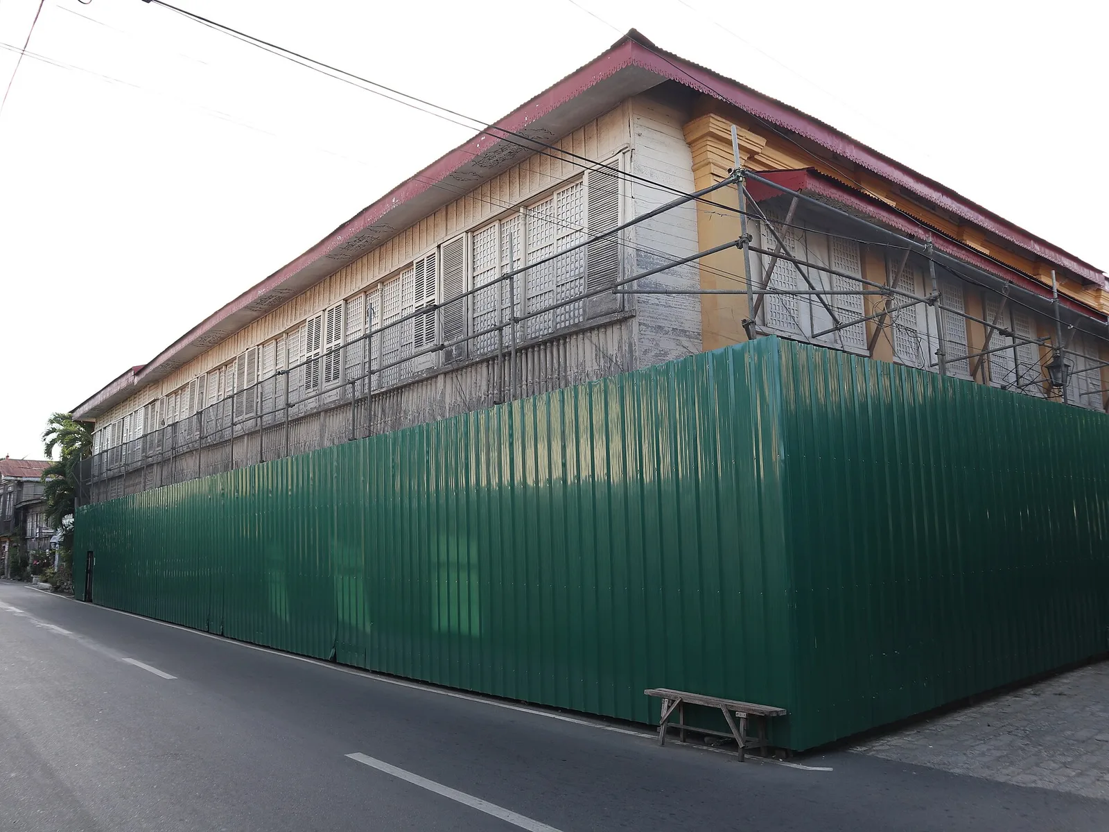
One of the oldest stone houses, or bahay na bato, in Vigan, now open as a museum. Justo Angco built it in 1830 and gave it as a dowry when his daughter married Gregorio Syquia in 1875. The ground floor …
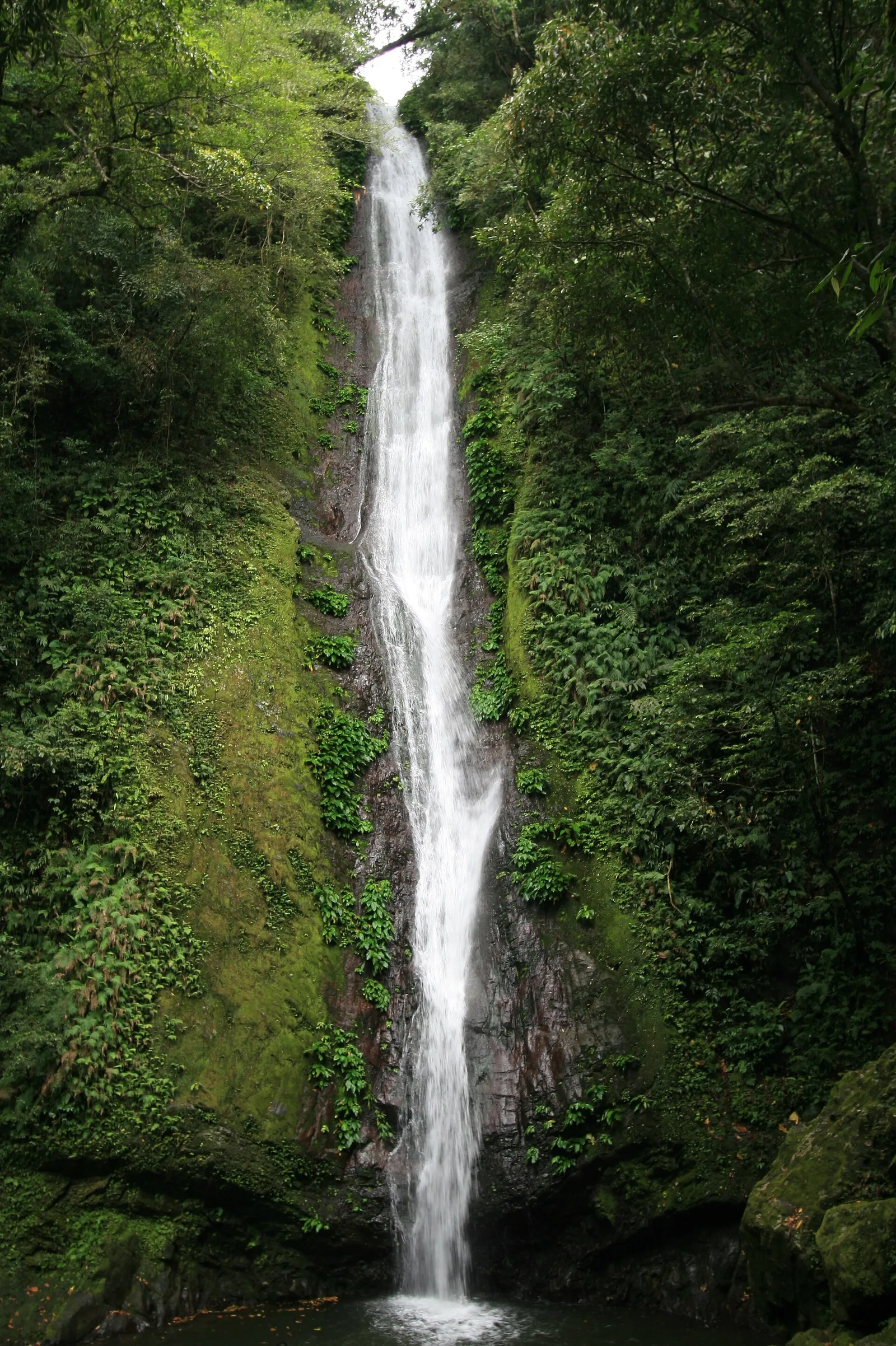
A waterfall of about 27 metres that drops into a bowl-shaped basin in thick forest. It stands in Barangay Balaoi in Pagudpud, and the trail in starts near Bantay Abot Cave. With the improved access road of 900 metres, the …
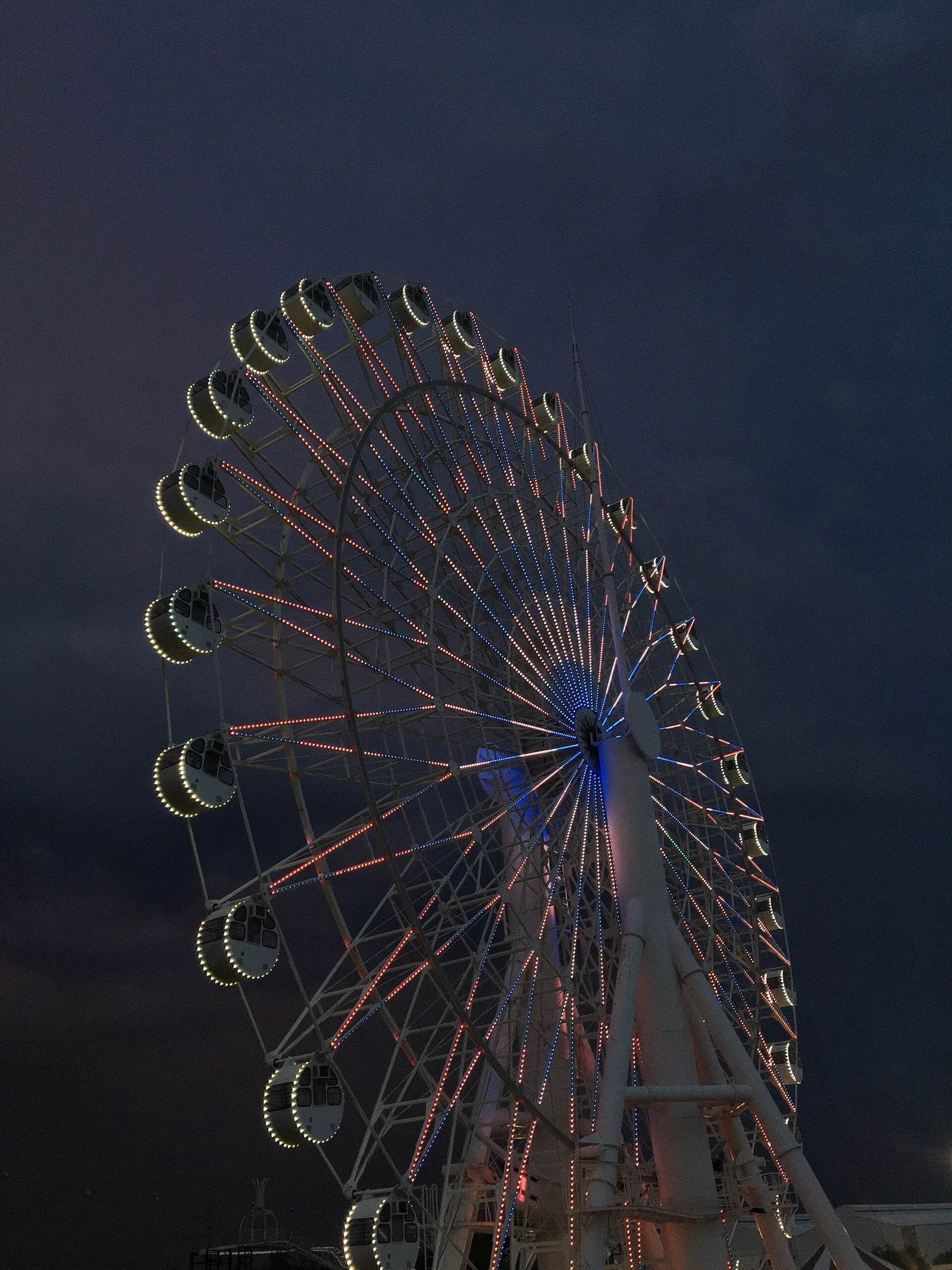
A Ferris wheel 65 metres high, the tallest in the country, and 50 metres across. It stands at Sky Ranch Pampanga, beside SM City Pampanga.
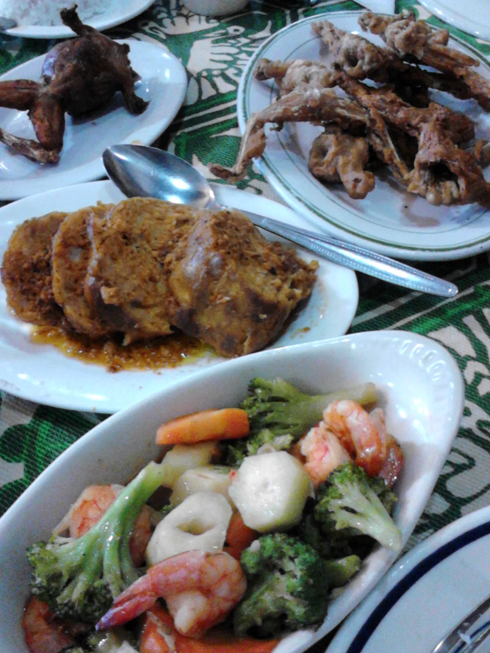
One of the oldest restaurants in Pampanga, on MacArthur Highway in Barangay Del Pilar. The Jorolan family built it in 1946. It serves the Kapampangan dishes that made its name: betute (stuffed frogs), kamaru (crickets) and pindang damulag (carabao meat). …
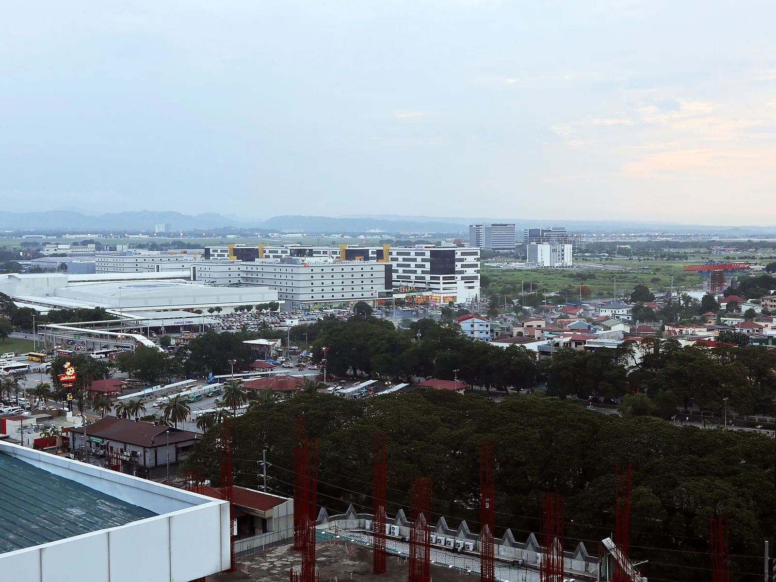
A large freeport of hotels, casinos, golf courses and resorts, most of it inside Mabalacat and the rest in neighbouring Angeles, where the main gate is. It was Clark Air Base until 1991, when the United States Air Force left. …
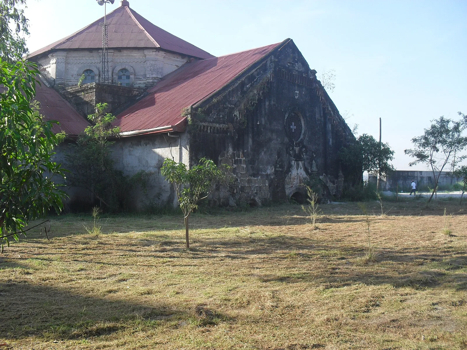
A church that stands half buried in volcanic mud. On September 3, 1995 lahar from the 1991 eruption of Mount Pinatubo filled the building to half of its 12 metres of height, and more than 50,000 people of the town …
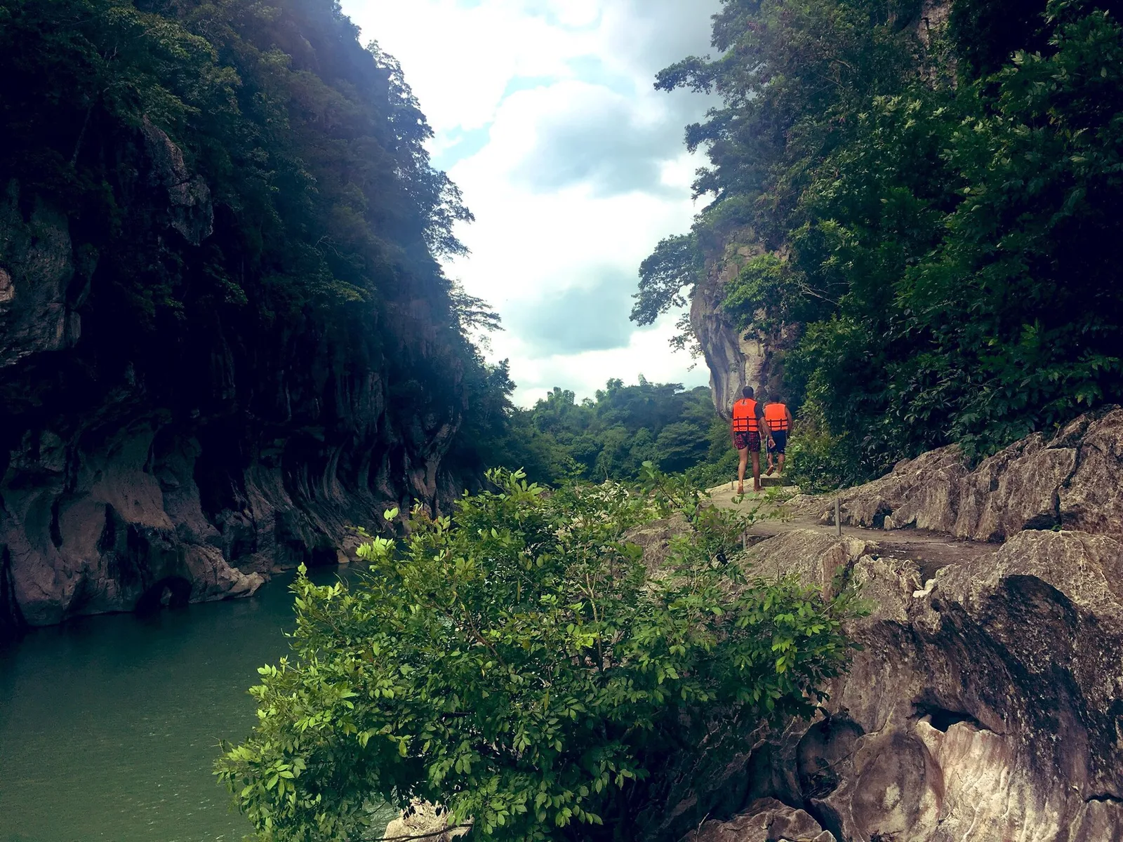
A stretch of the Peñaranda River walled by limestone up to 16 metres high, in the foothills of the Sierra Madre. The park covers 2,018 hectares in General Tinio, next to the boundary with Doña Remedios Trinidad in Bulacan, and …
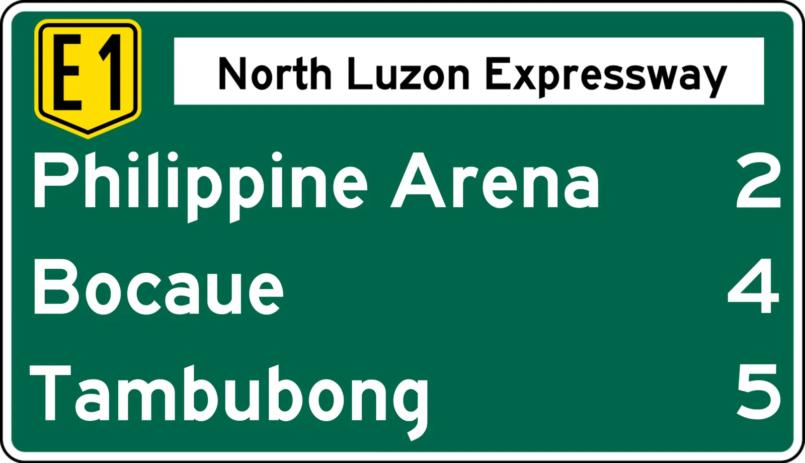
An indoor arena that seats 55,000, the second largest in the world after the KJC King Dome in Davao City. The Iglesia ni Cristo built it for its centennial in 2014, and New Era University owns it. It stands in …