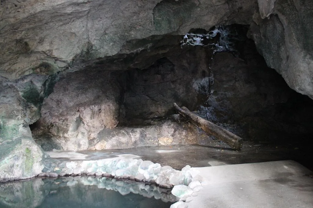
Kutawato Caves
A cave system inside the city proper, at the foot of Pedro Colina Hill. It gave the city its name: kuta means fort and wato means stone, so Kutawato is the fort of stone. Hidden passageways run underground, and one …
Showing 571 to 600 of 1,605
A cave system inside the city proper, at the foot of Pedro Colina Hill. It gave the city its name: kuta means fort and wato means stone, so Kutawato is the fort of stone. Hidden passageways run underground, and one …
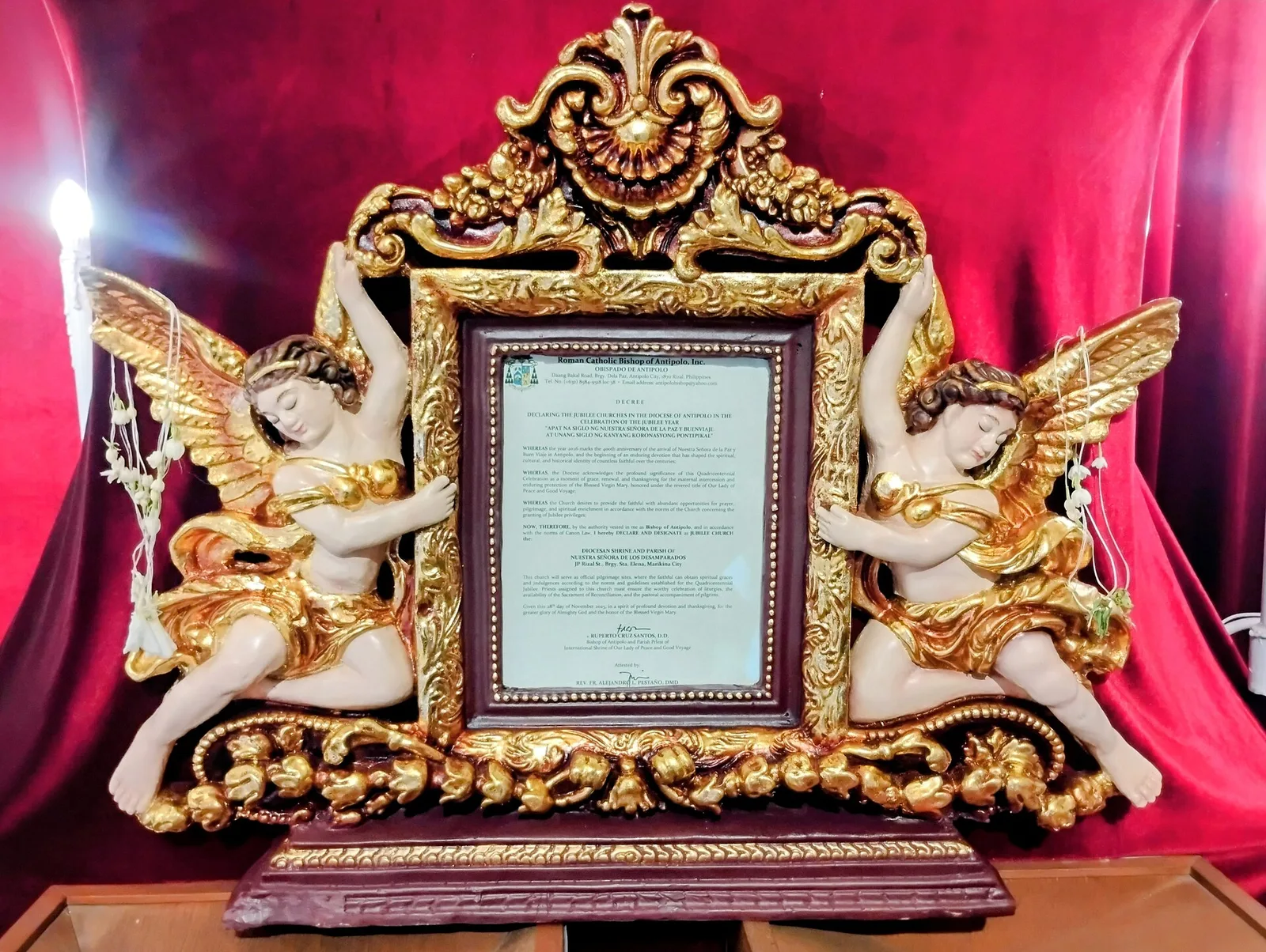
A diocesan shrine to Nuestra Señora de los Desamparados, Our Lady of the Abandoned, and the oldest church in the Marikina Valley, built in 1572. Its image of the Madonna and Child is venerated as miraculous and has a pontifical …
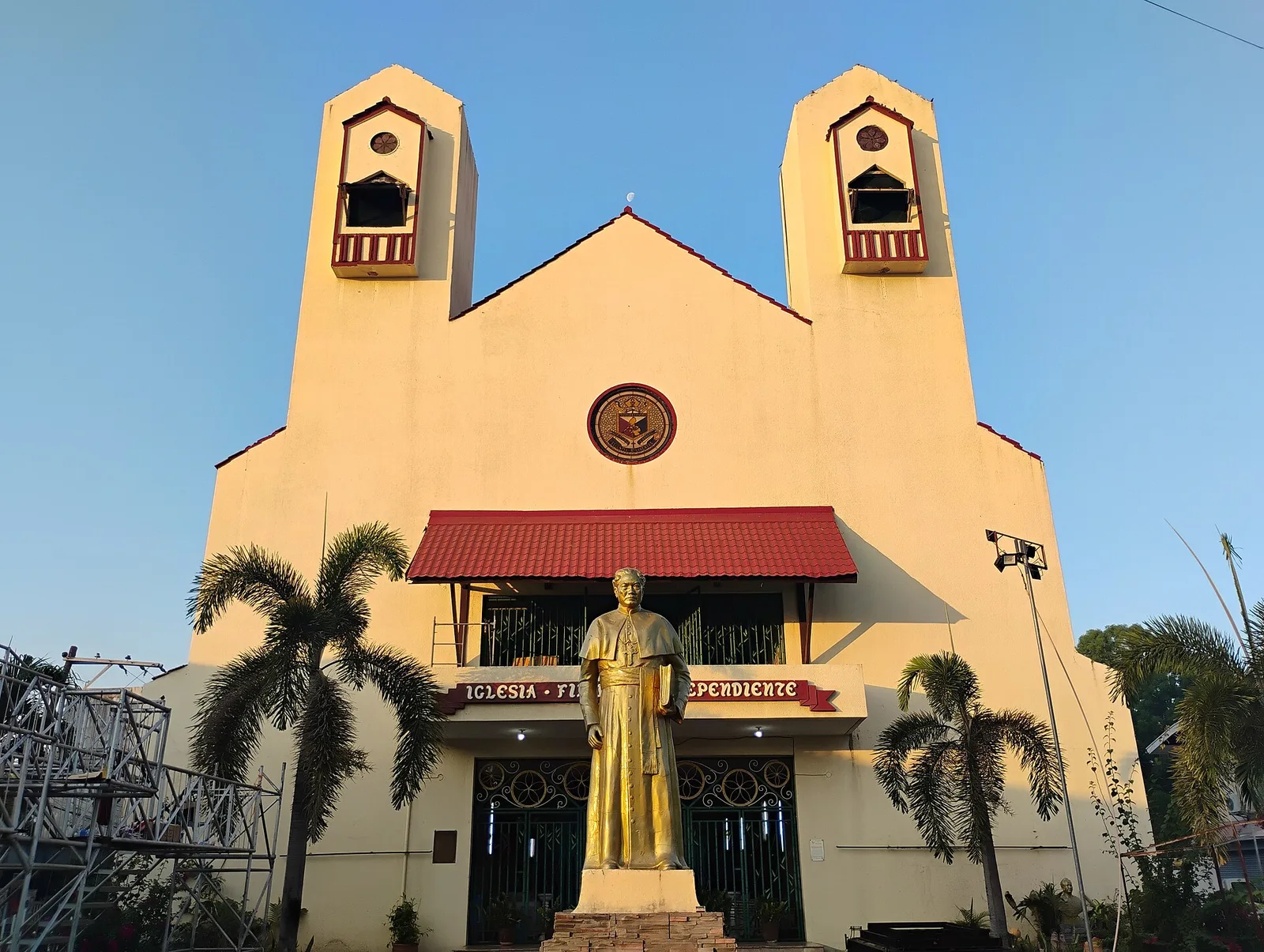
The burial place of Gregorio Aglipay, in a complex that also holds the Cathedral of Saint Mary of the Philippine Independent Church. Aglipay (1860 to 1940) was a Catholic priest who served as military chaplain during the Philippine Revolution of …
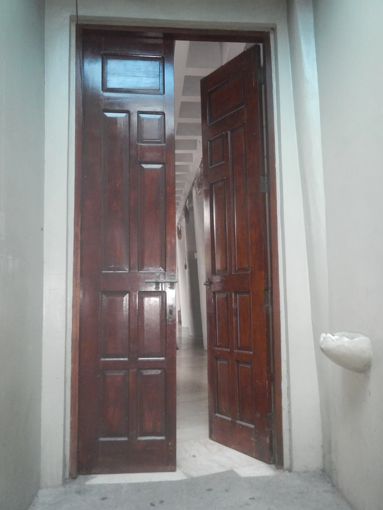
This diocesan shrine and parish serves Catholics in Olongapo, a highly urbanized city grouped with Zambales province though it governs itself. Olongapo grew up around a Spanish and later American naval station on Subic Bay, and the shrine is one …
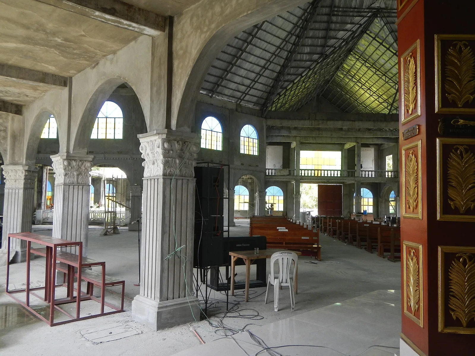
A parish church stands in Palayan City, the least populated city in the Philippines according to the 2024 census. The city takes its name from the Tagalog word for rice paddy, chosen to reflect Nueva Ecija's title as the country's …
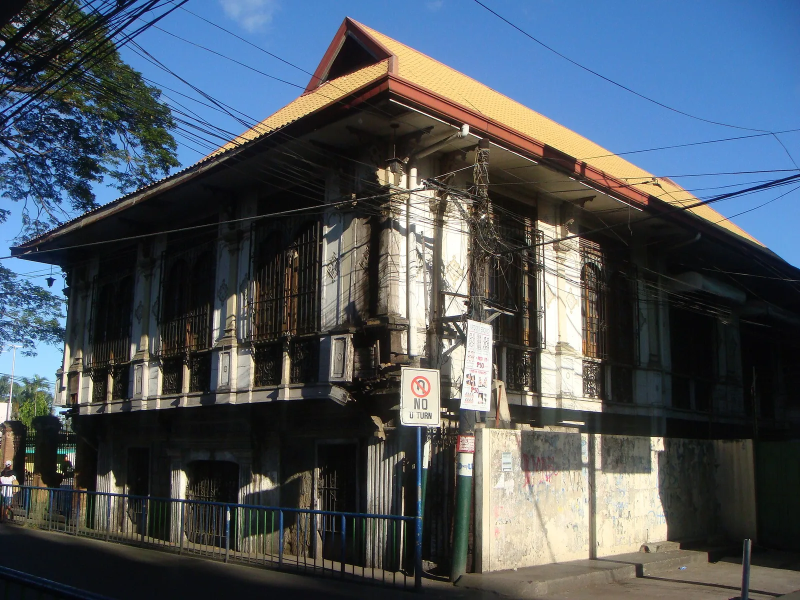
The city museum and library, in the old municipal hall on Cagayan Valley Road, 150 metres from Saint Augustine Church. It opened in 1998 as a museum of natural history and ethnography, and the city runs it as the centre …
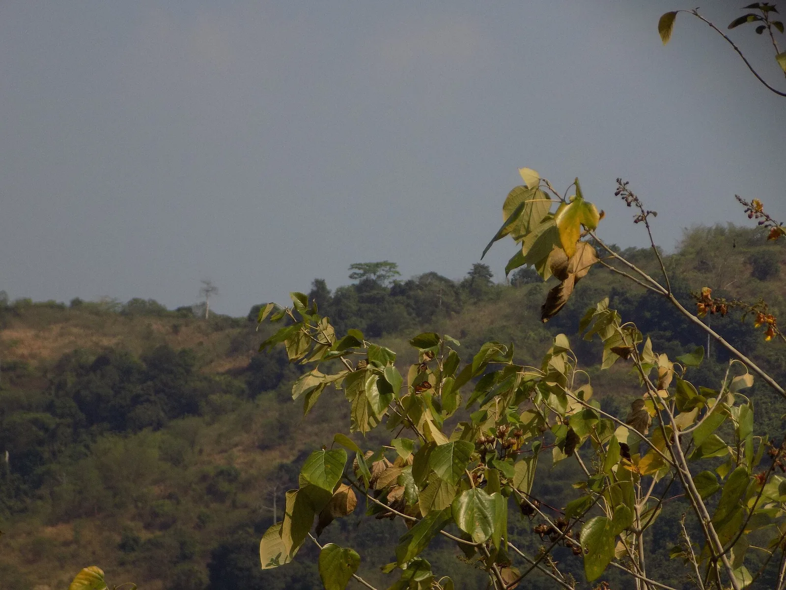
A protected forest in the mountainous interior of northern Bataan. People come to watch birds and wildlife and to trek to the peaks and waterfalls inside it. Pasukulan Falls and Dunsulan Falls are both here, along with ground orchids and …
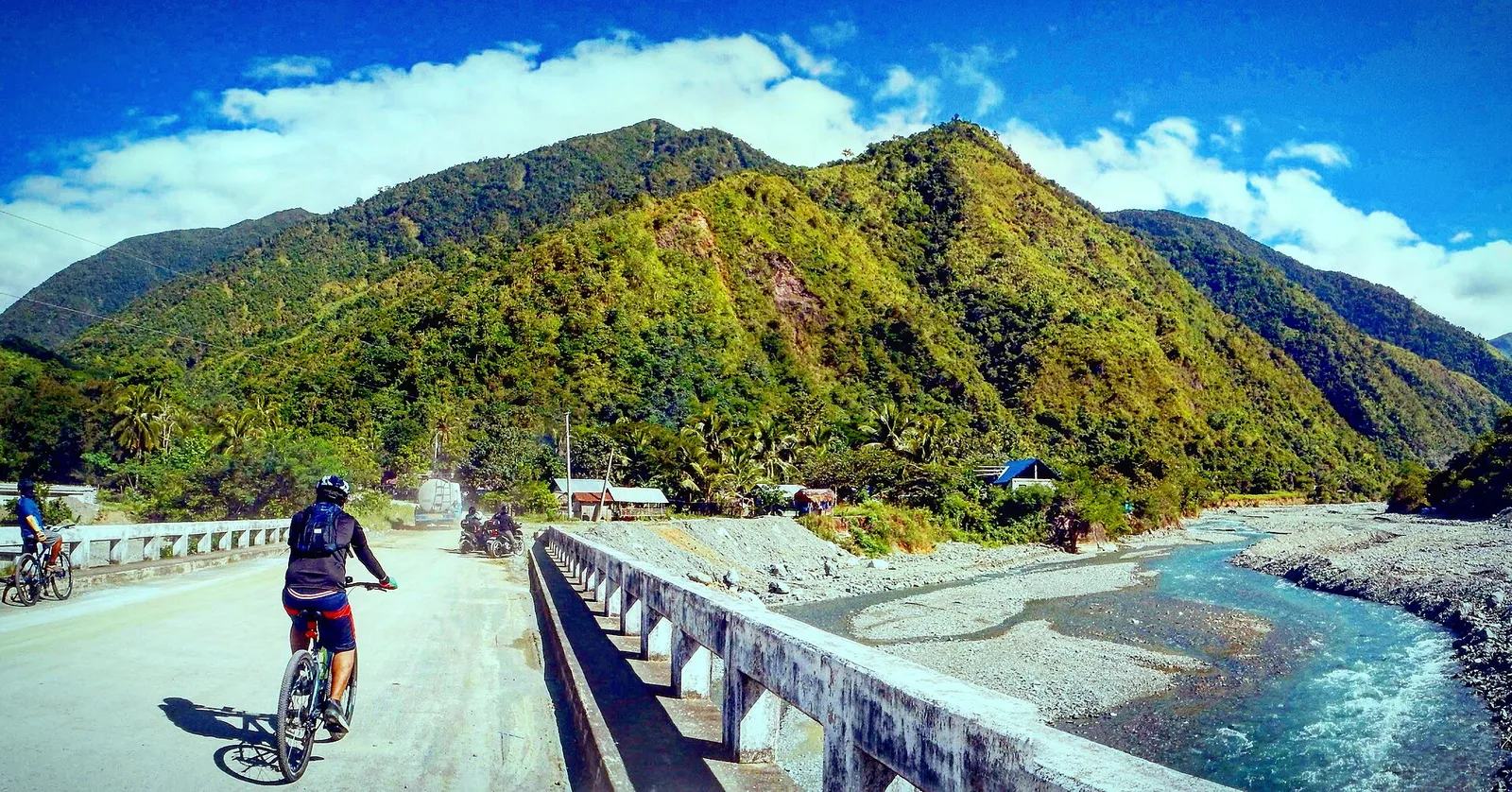
A protected area in the Sierra Madre mountain range, on the boundary between Aurora and Nueva Ecija. It covers 5,676 hectares and stretches more than 50 kilometres along the Bongabon-Baler road, rising to 1,000 metres. The forest is mostly lowland …
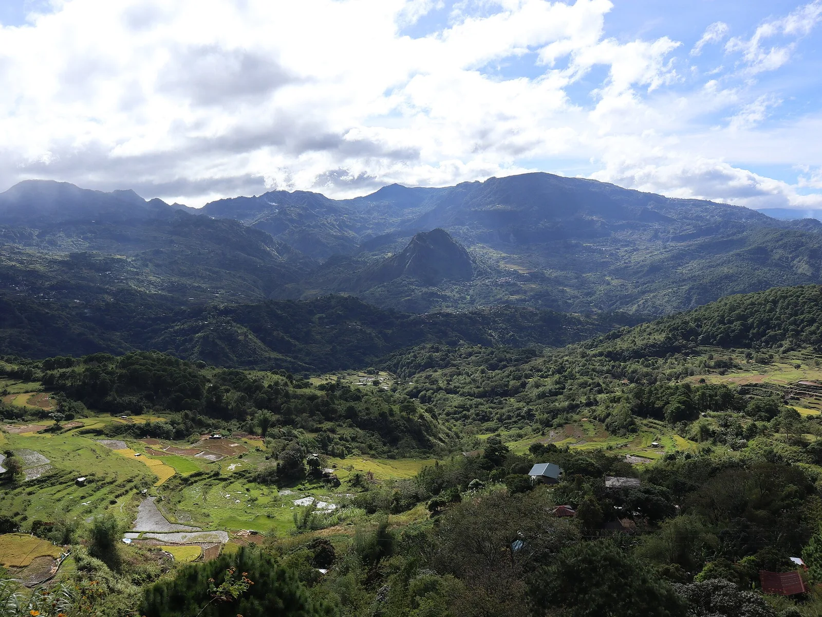
A mountain of 2,310 metres on the border of Benguet and Mountain Province, about 100 kilometres north of Baguio and reached from the Halsema Highway. Pine forest and mossy oak forest cover the slopes. It has been a national park …
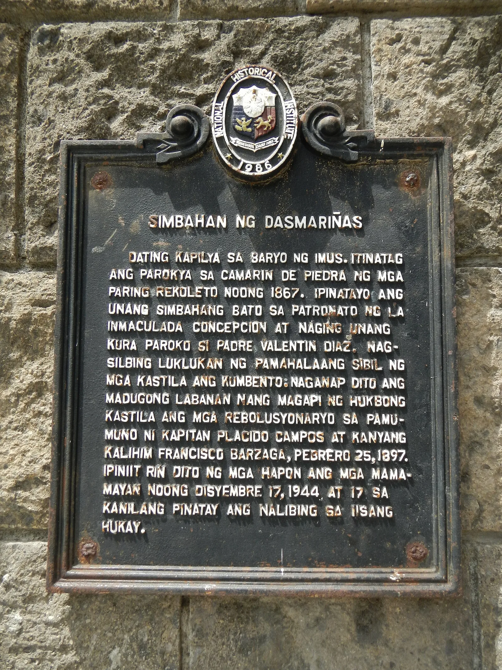
The first parish church of the city, built in stone soon after Dasmariñas became a separate parish in 1866. The church and its convent saw bloodshed during the Battle of Perez Dasmariñas, in the revolution against Spain. Queen Isabella II …
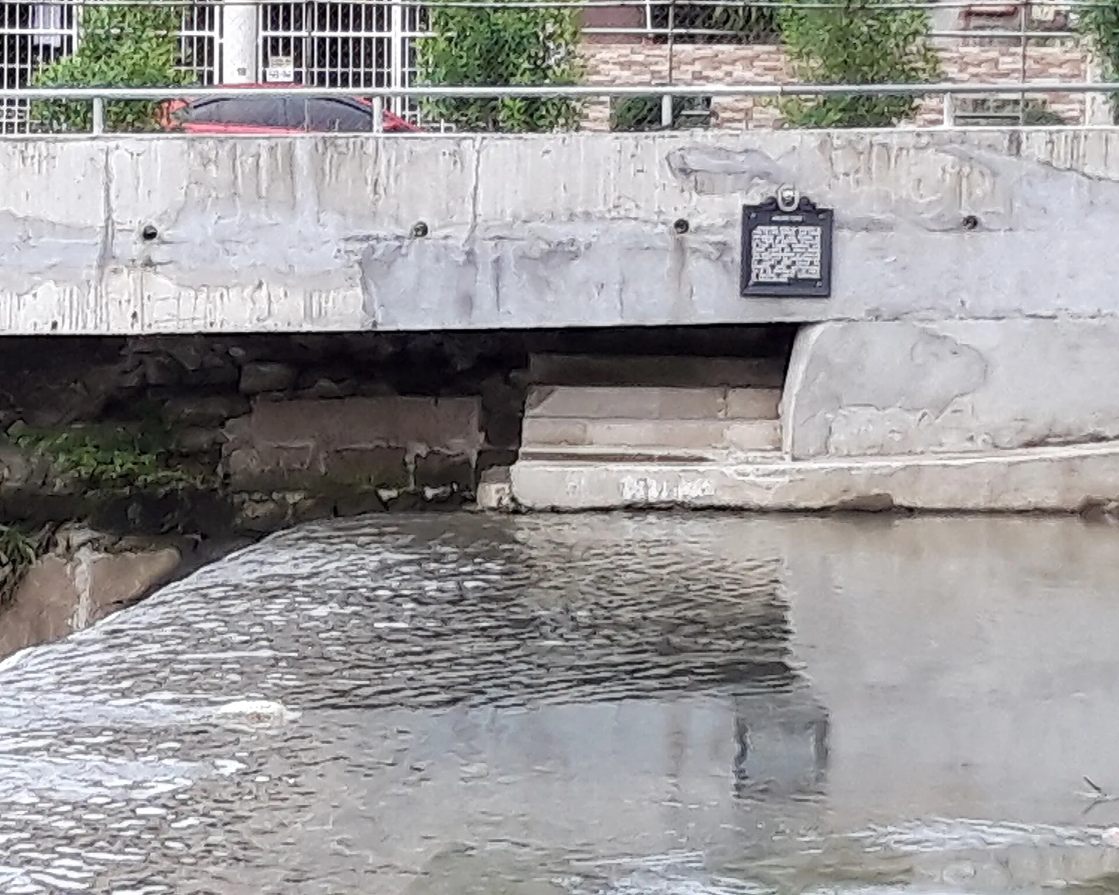
A gravity dam on the Zapote River, built by hand in the 19th century to water the rice fields of Bacoor and Las Piñas. It sits on the city boundary, between Barangay San Nicolas I in Bacoor and Barangay Talon …
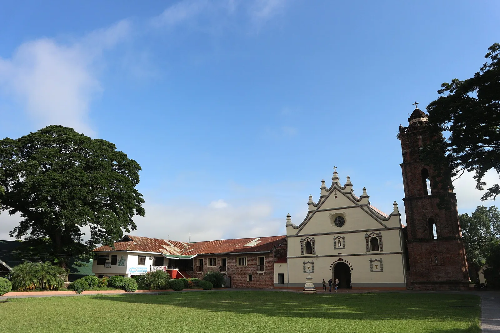
An 18th-century Baroque church in Barangay Dopaj, and a National Cultural Treasure since July 2001. The National Museum listed the whole complex, not the church alone. Saint Vincent Ferrer is the patron, and people here call it Dupax Church. Father …
A small island in the Visayan Sea ringed by white sand beaches, with three sandbars. It covers about 0.03 square kilometres, and the 833 people who live on it mostly depend on fishing. The island lies 8 kilometres southwest of …
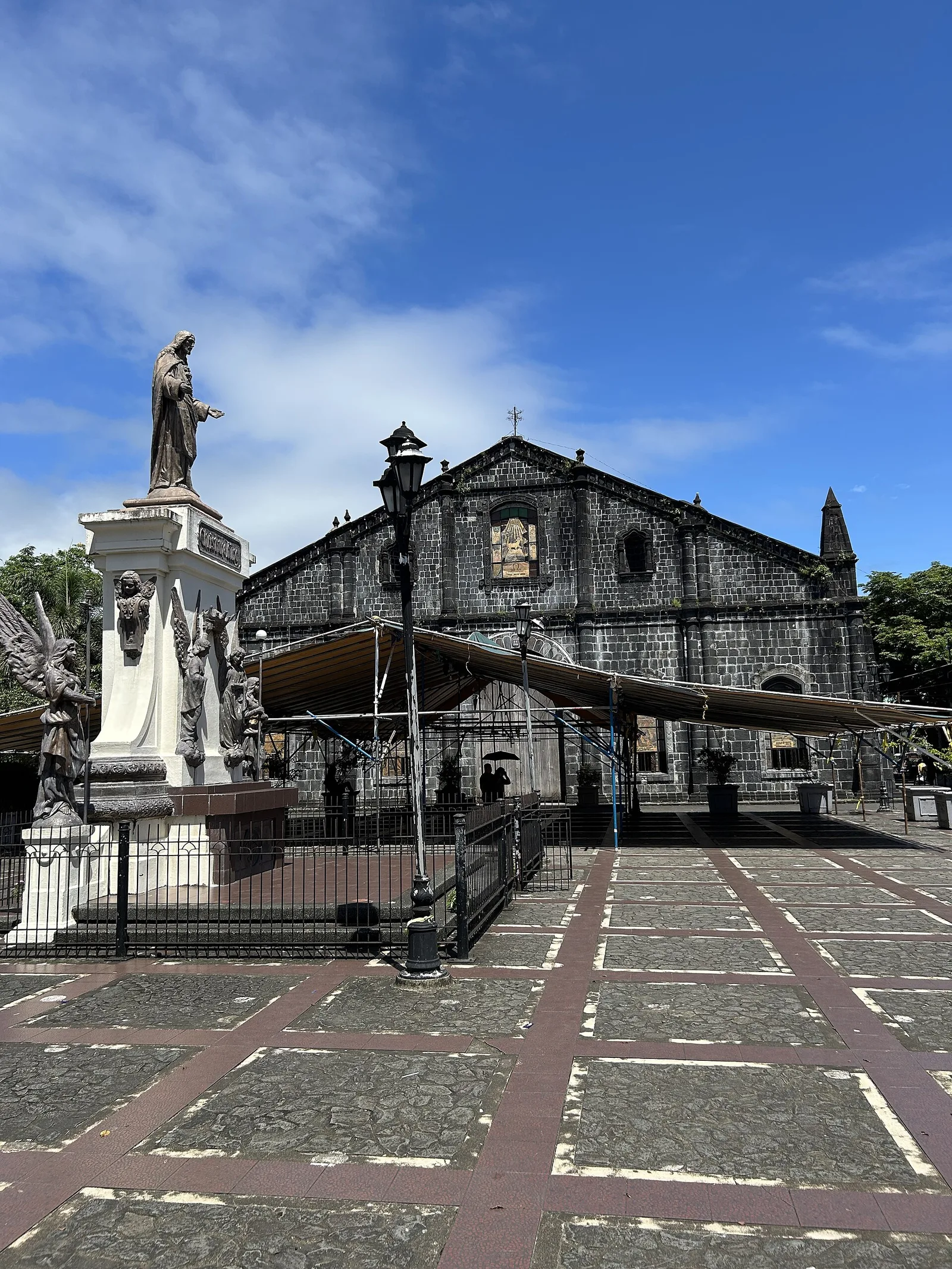
The city's parish church, and a National Historic Landmark since August 1, 1973 under Presidential Decree 260. Work on the present building started in 1750. The Franciscans founded the parish under Saint John the Baptist, and it became independent in …
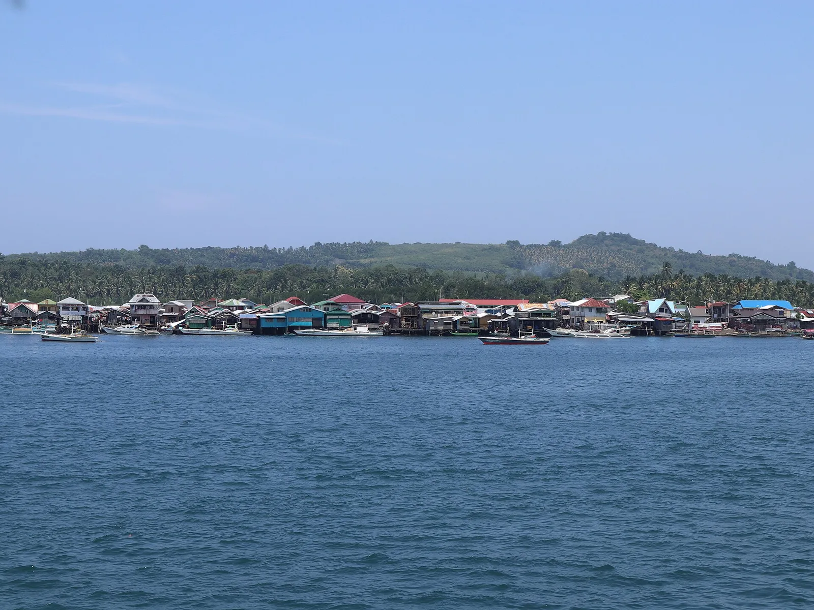
Off the coast of Isabela City lies Malamawi Island, in the province of Basilan.
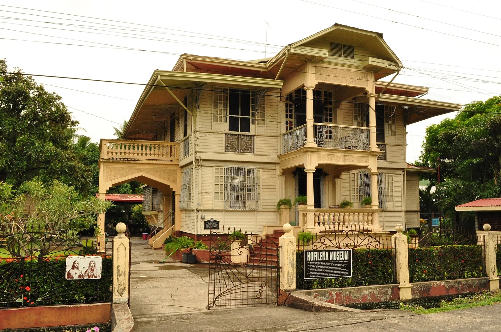
A family home on Cinco de Noviembre Street, built by Manuel Severino Hofileña for his wife Gilda Ledesma Hojilla, a former Miss Silay, and for their nine children. Ramon Hofileña, one of the children, lived here until recently and took …
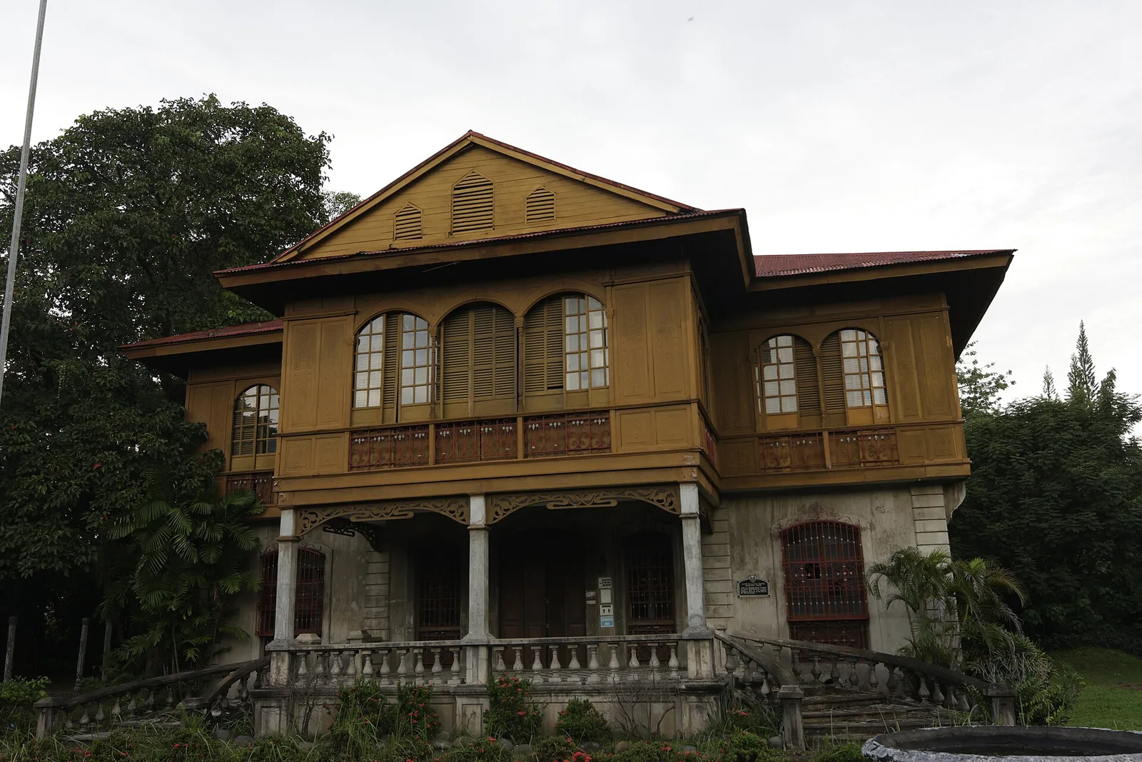
A museum in the mansion of Victor Fernandez Gaston, son of the first Negrense sugar baron, Yves Leopold Germain Gaston. It shows how a sugar baron lived in the late 19th century. It was the first museum in the province …
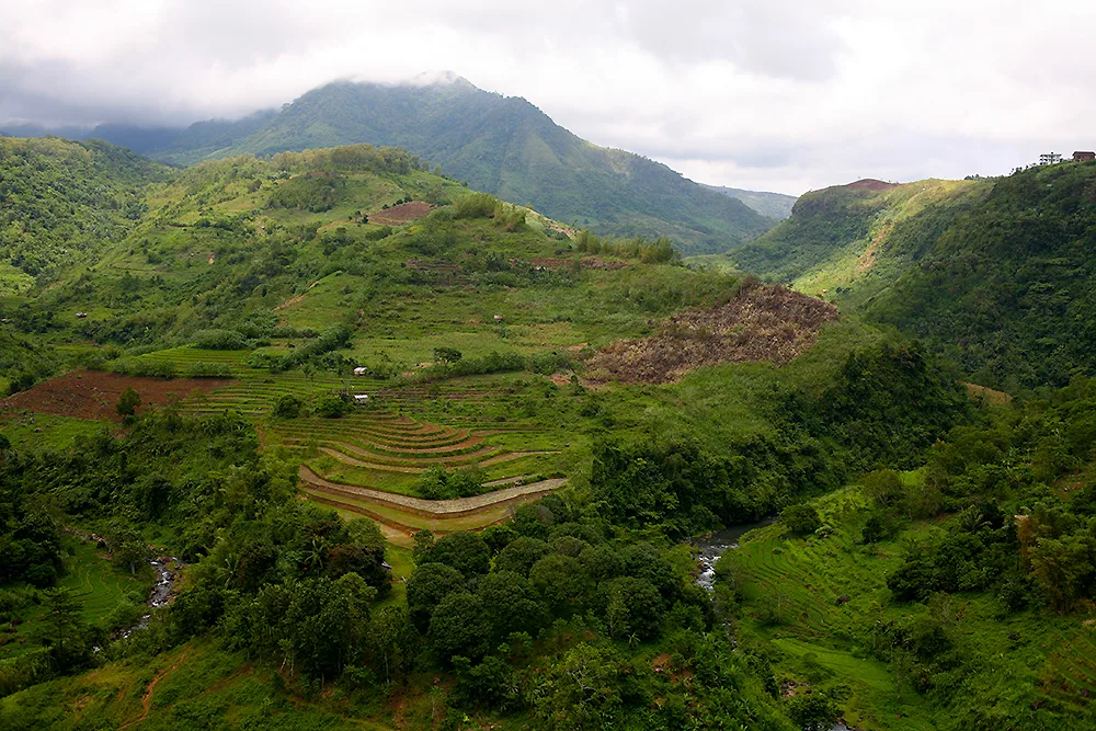
An active volcano and the highest mountain on Negros at 2,465 metres. It is also the highest peak in the Visayas, and it ranks as the 42nd-highest peak of an island in the world. The cone is an andesitic stratovolcano …
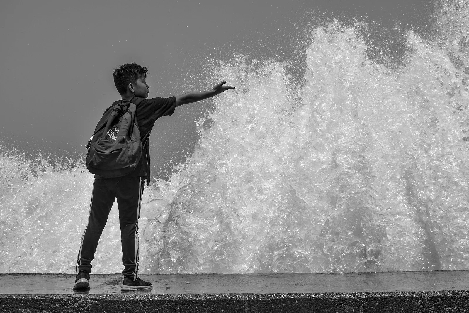
A seafront walk of 3.6 kilometres, from Barangay Central to Barangay Miputak and on to the city port at Barangay Galas. Its official name is the Foreshore Development and Wellness Center. Along it are basketball courts, a playground, restaurants and …
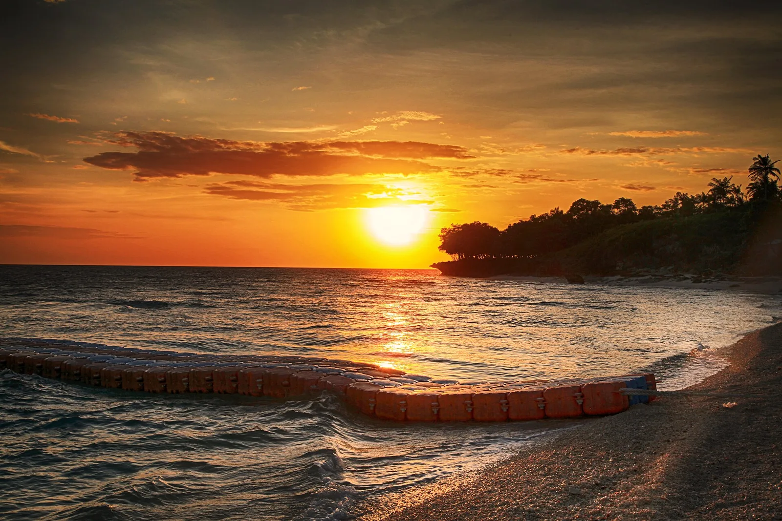
An island barangay of Dapitan with white sand beaches and coral reefs, kept as a marine sanctuary. The island has no water source, so carry your own. Few people live there, and most of them sell fish to visitors.
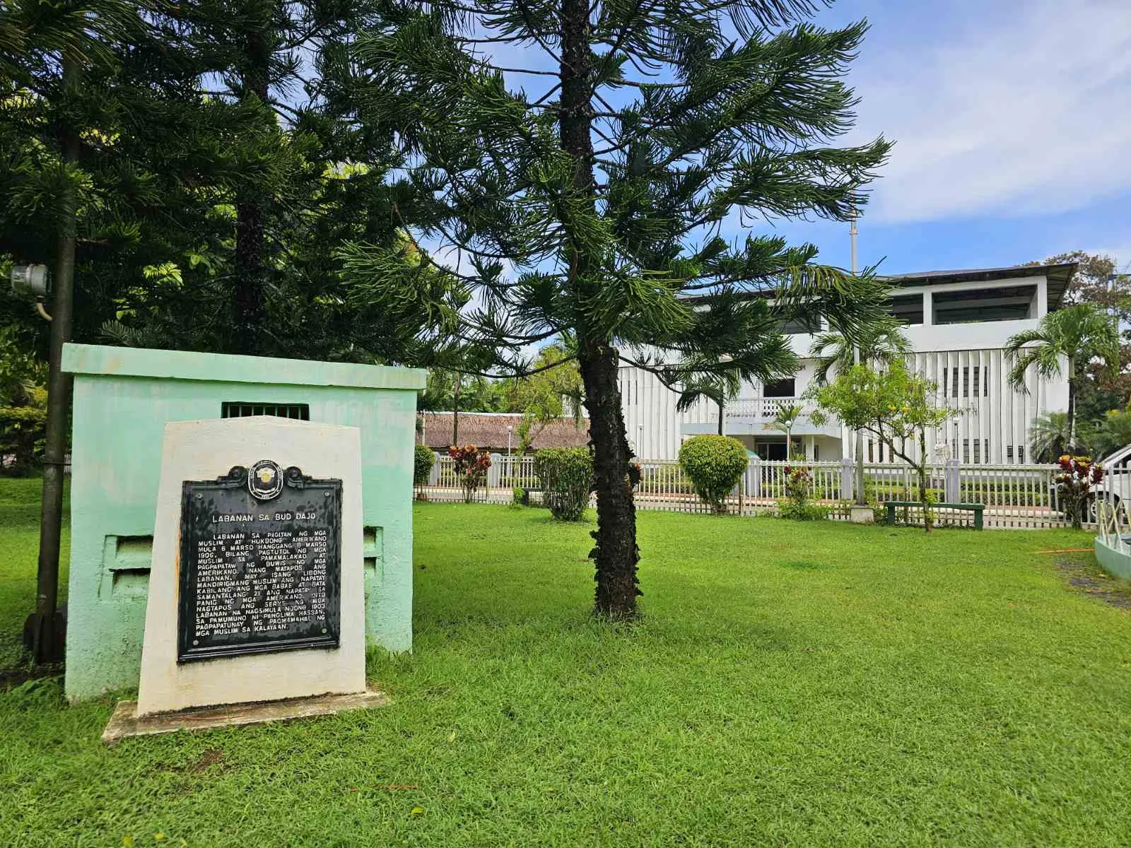
A cinder cone on the island of Jolo and the second highest point in Sulu, at more than 600 metres. The volcano is extinct and belongs to the Jolo Volcanic Group. It is a sacred mountain for the Tausug people …
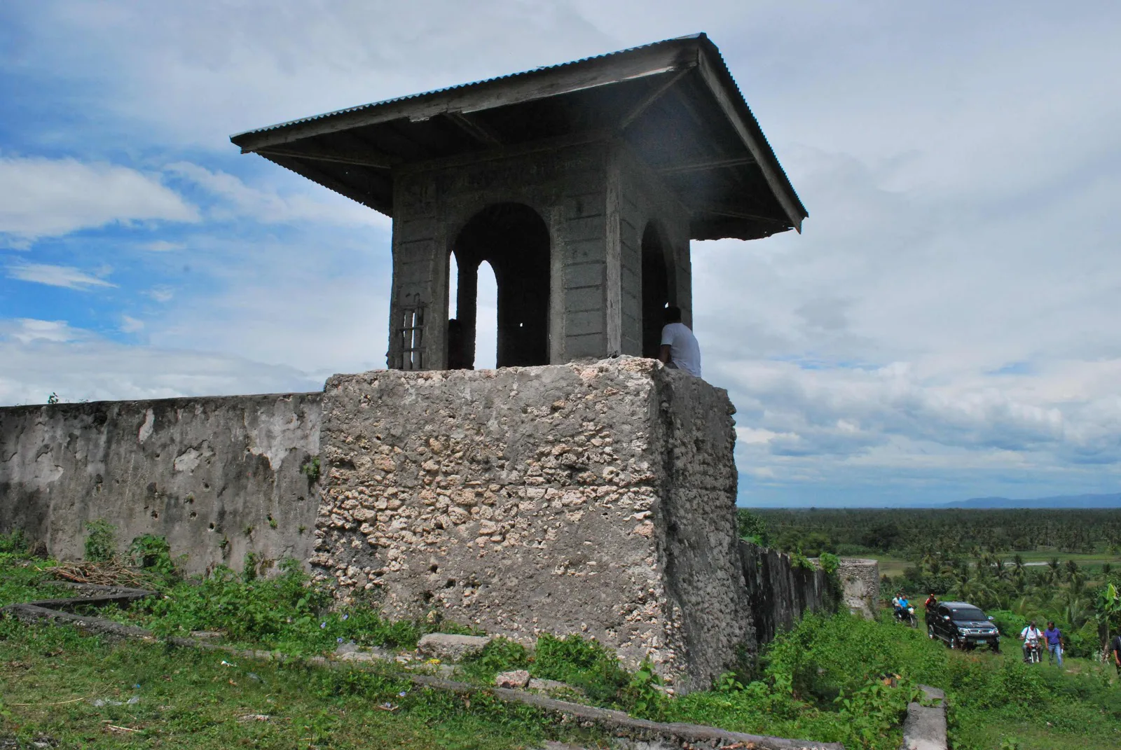
Two Spanish gun towers and a rubble wall 38 metres a side, on a hill behind the municipal hall of Pikit, facing the National Highway. The Spanish built the fort in 1893 as they pushed into what remained of the …
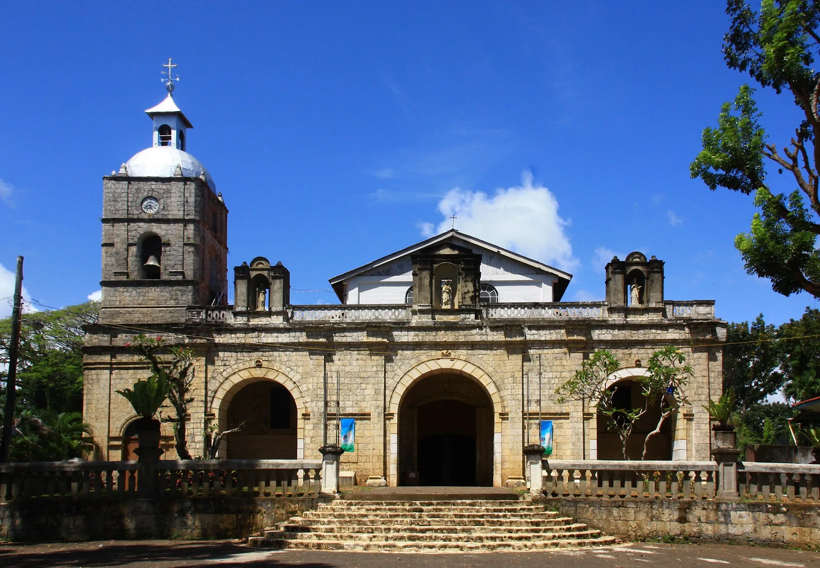
A Baroque church of the late 19th century, declared a National Cultural Treasure in 2001. It stands at Barangay Nacional and serves the parish of Saint John the Baptist, under the Archdiocese of Ozamis. The town around it is one …
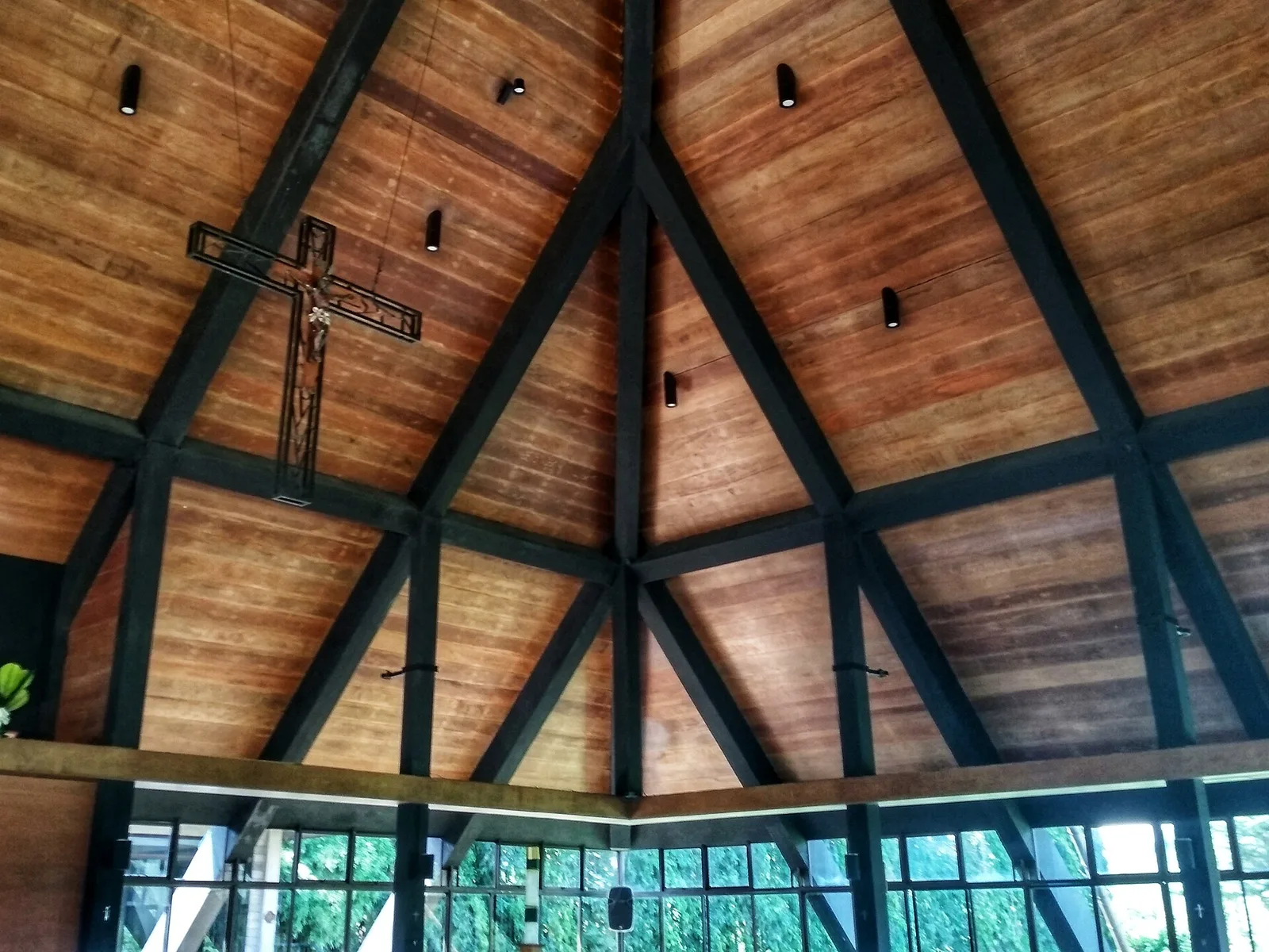
A Benedictine monastery on San Jose hill, built of heavy lime blocks to a design by Leandro Locsin, National Artist for architecture. The first Filipino abbot, Father Eduardo Africa, and the Malaybalay bishop of the time, Gaudencio Rosales, inaugurated it …
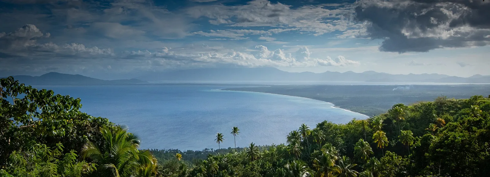
A mountain of 1,620 metres with a pygmy forest of century-old trees growing in ultramafic soil, and the first UNESCO World Heritage Site in Mindanao. The range covers 6,834 hectares. It became a national park and wildlife sanctuary in 2003 …
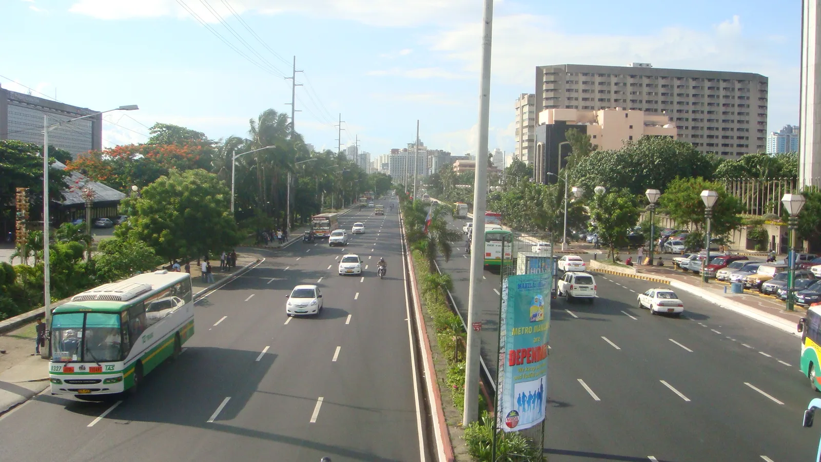
A waterfront road along Manila Bay, known for its sunsets and its long line of coconut trees. Hotels, restaurants, parks, offices and a yacht club face the water from it. The eight-lane road curves south from Luneta in Manila to …
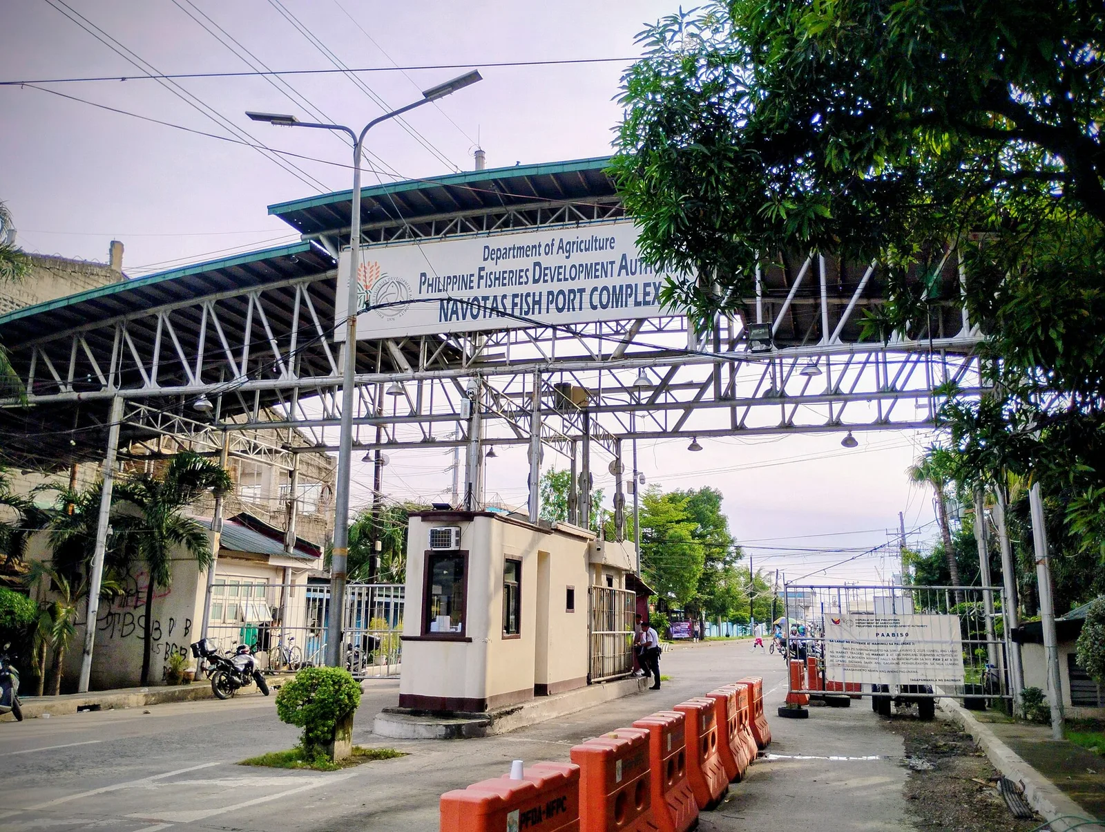
The premier fish centre of the country, and the reason Navotas is called the Fishing Capital of the Philippines. It is the third largest fish port in Asia and the largest in Southeast Asia. North Bay Boulevard, a road of …
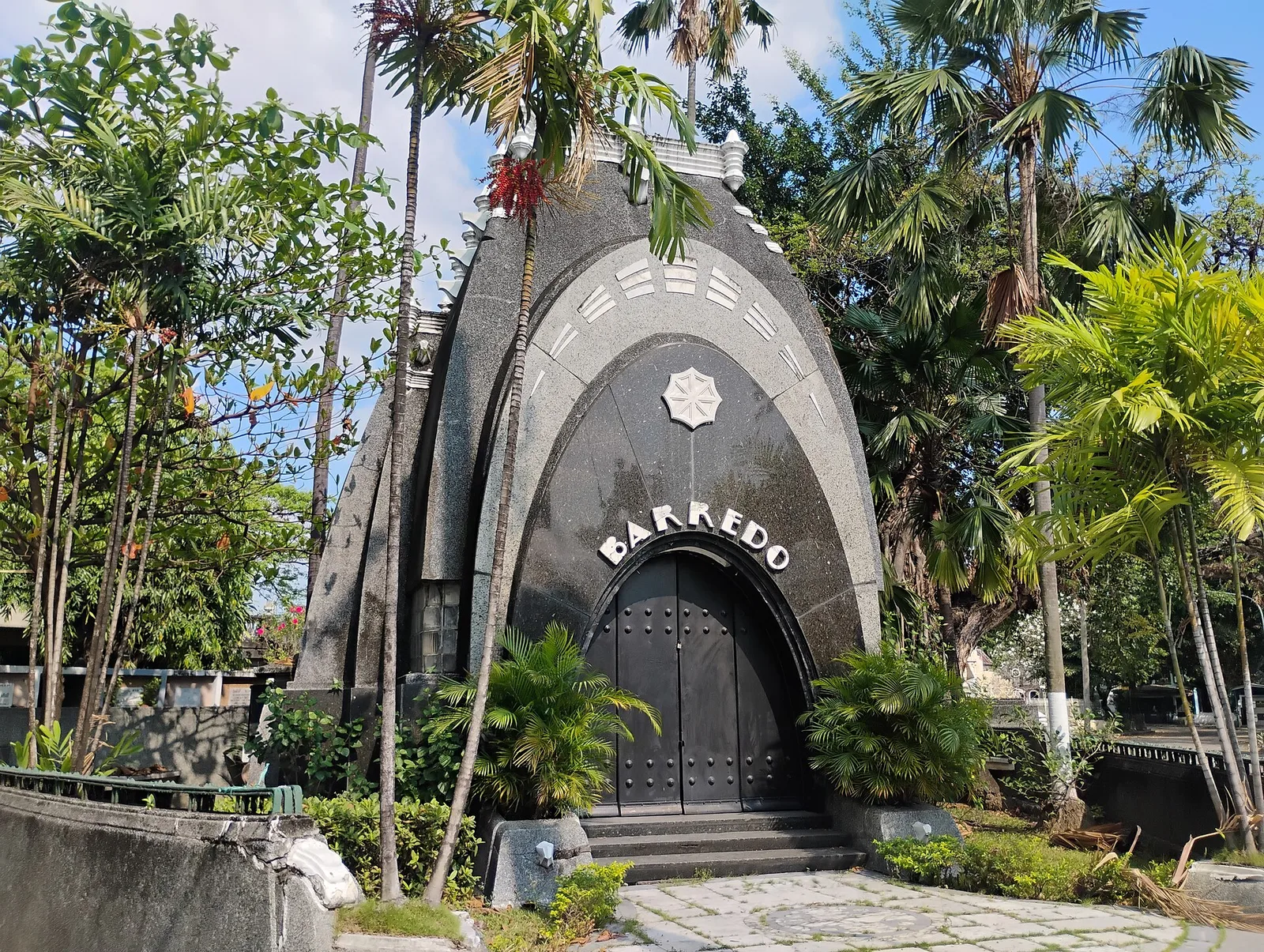
The oldest cemetery in Manila, opened in 1884 as a Catholic burial ground and lying mostly inside Caloocan, with its southern part across the line in the city of Manila. The city government counts it among its sites of historical …
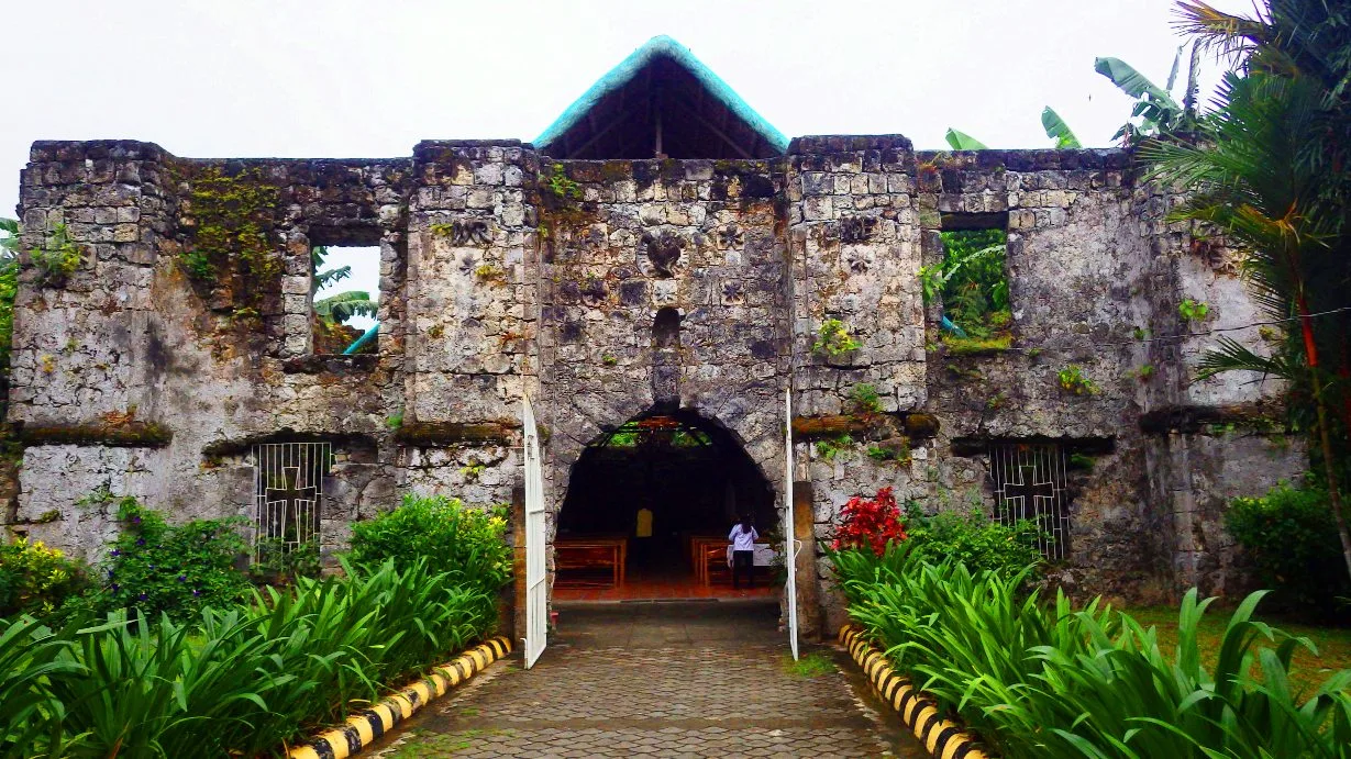
A ruined Roman Catholic church with a small chapel standing inside its massive walls, which is why people call it a church within a church. The local name, Simbahang Bato, means stone church. It is also known as Bancuro Church, …
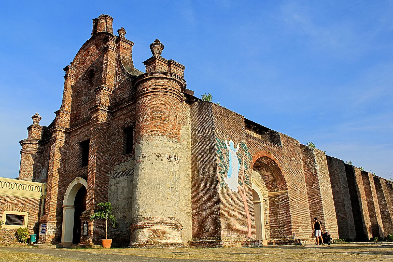
A brick church on a hill above the town, listed by UNESCO on December 11, 1993 as one of the four Baroque Churches of the Philippines. It was built to work as a fort as well as a church, and …